- Clearwater Mountains
- Giant White Pine Campground
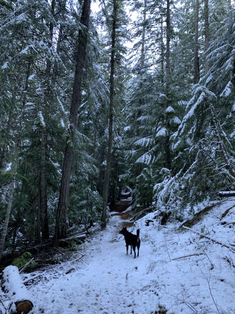
- Good, but some deadfall
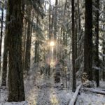
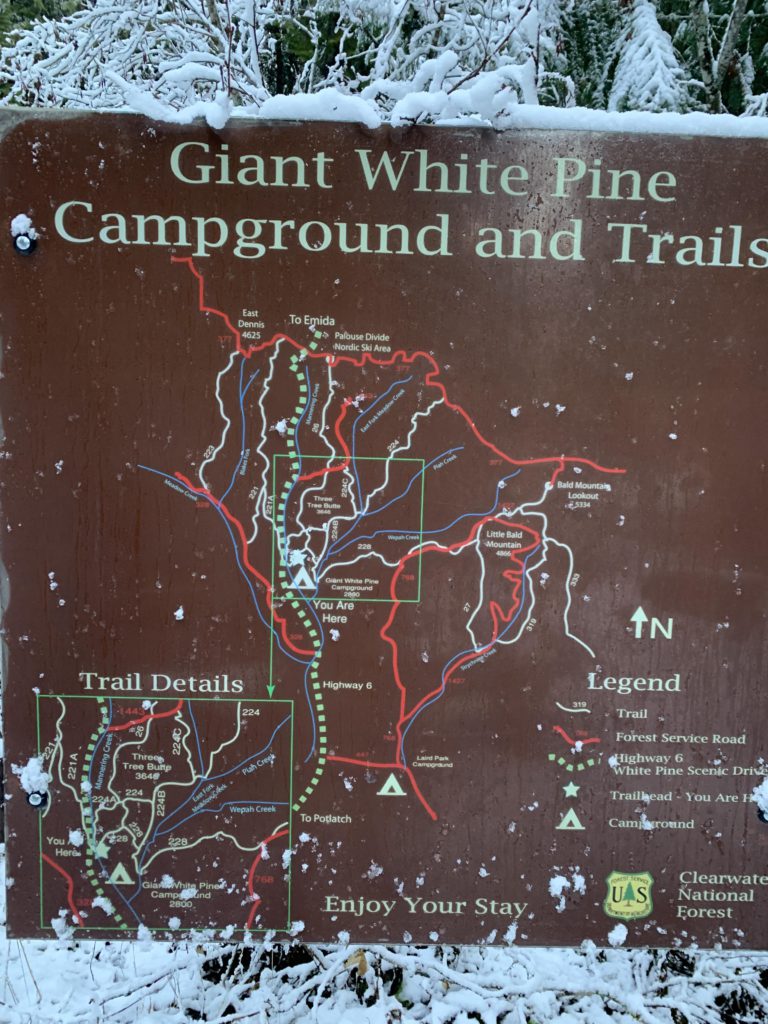
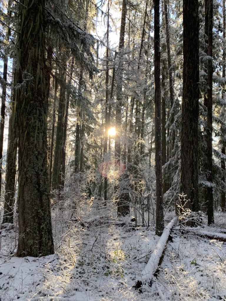
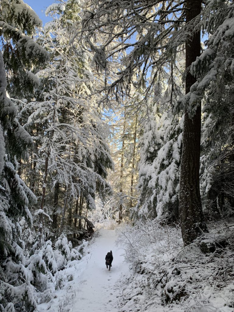
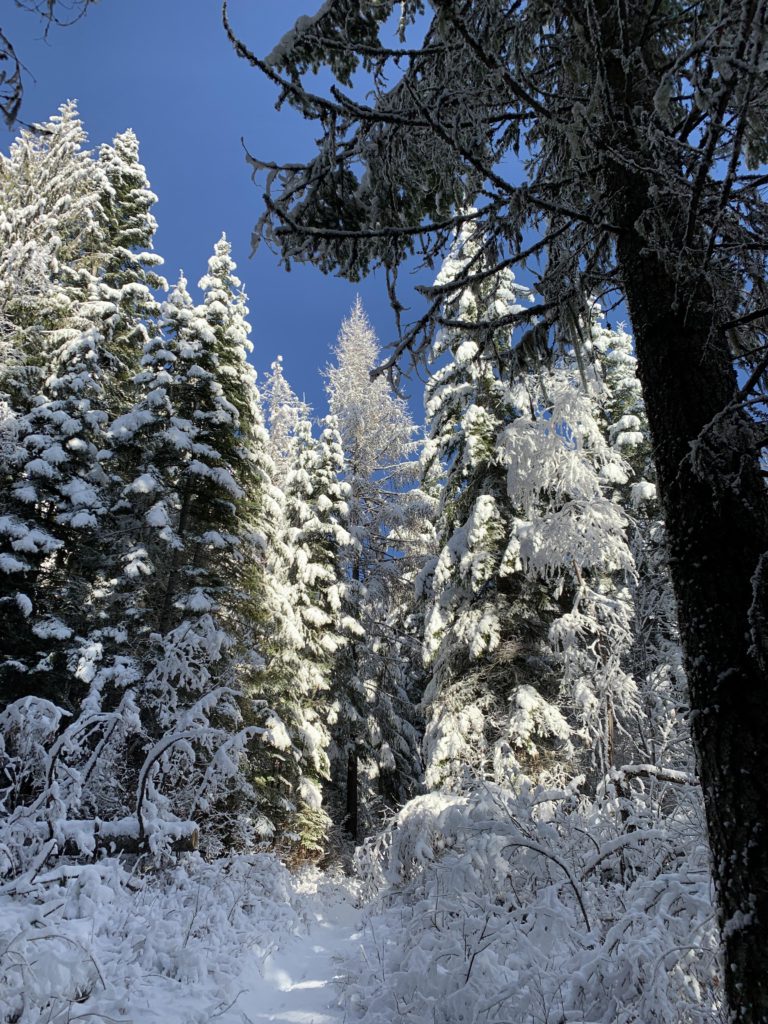
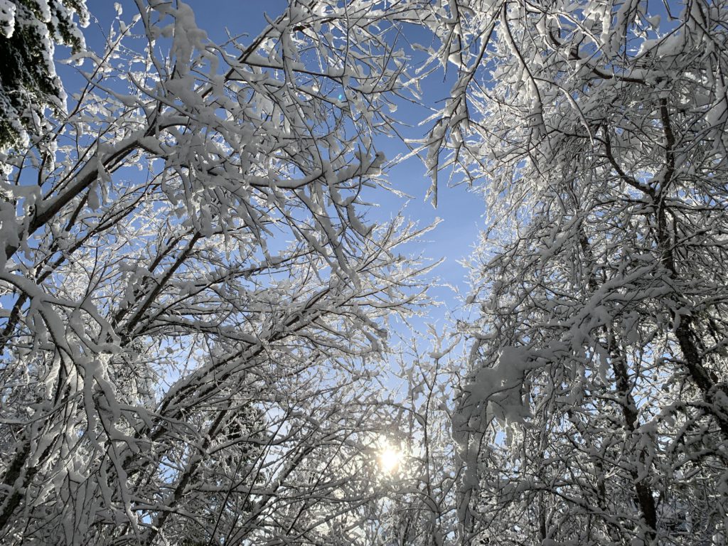
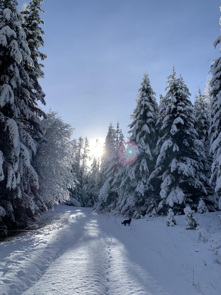
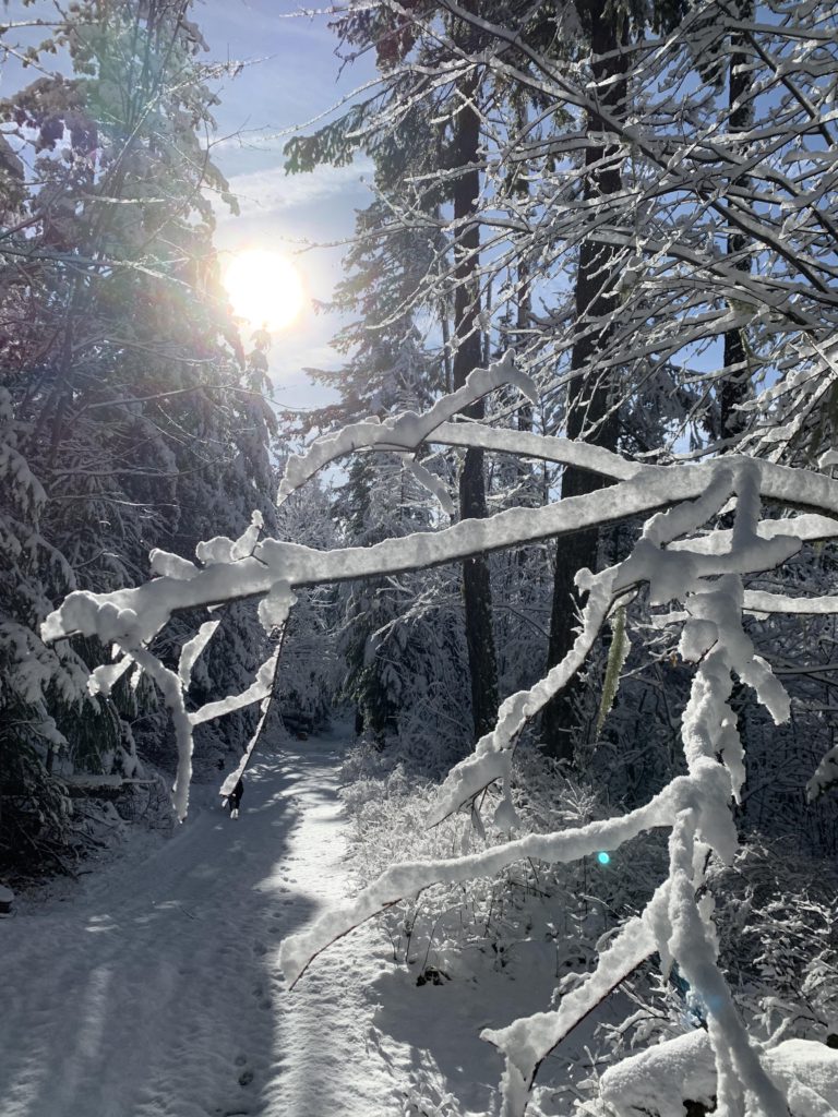
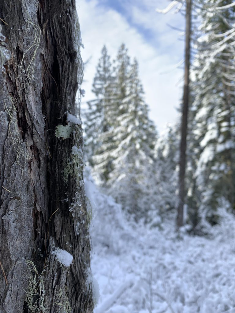
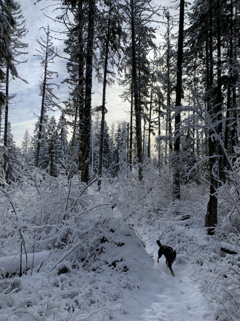
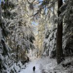
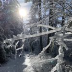
For a counterclockwise loop, start out to the left of the trailhead pit toilet, but stay on the eastern side of ID-6 (to the right of the toilet is trail 228, Bald Mountain). The trail cuts through the giant white pine, lying on the ground, that gives the campground its name and almost immediately starts climbing the hillside beneath a nicely shading fir, pine and cedar canopy. You’ll see (and hear) ID-6 to your left for about half a mile, then the trail pulls into a draw, still ascending, that drowns out the noise of the traffic. In just over a mile, the trail gains the ridge and a four-way junction. Straight and/or right complete the Old White Pine loop, so take a left and keep climbing on #26 for another mile to Three Tree Butte, once home to a lookout tower. The mountainside is heavily forested, so views are sparse, but the winter sun poking through the snow-laden trees made for a spectacular show of glitter and sparkles.
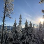
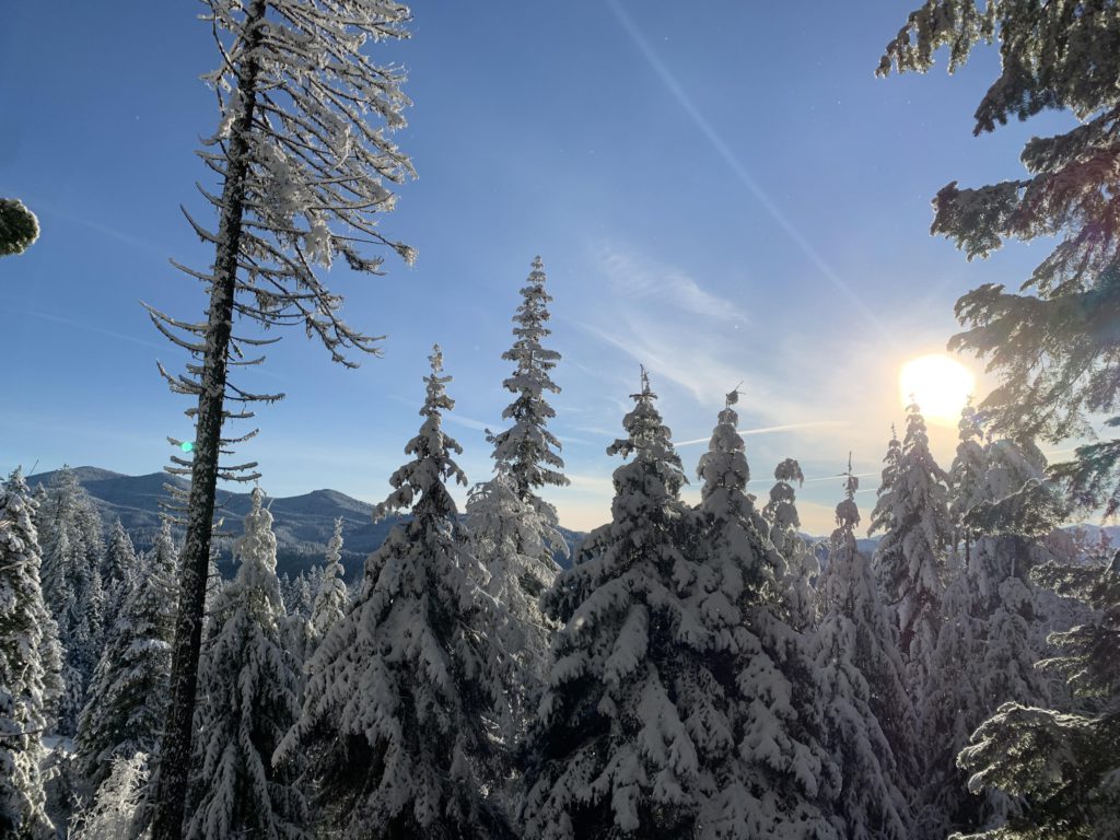
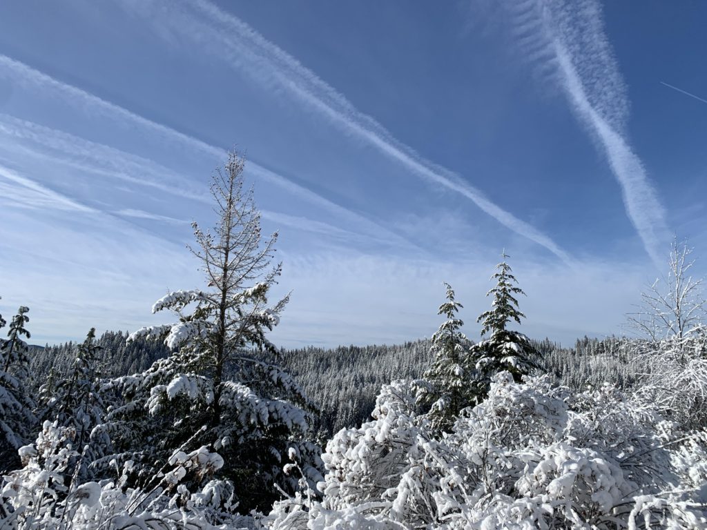
I’m not sure how Three Tree Butte got its name, but there are far more than three trees up top. In fact, the trail proper bypasses the peak just slightly, with a spur trail (signed) heading to the top, completely ringed by trees. Nonetheless, there are filtered views of the mountains across Meadow Creek in a few locations, so you may spot Bald Mountain, the highest peak in the Hoodoo Mountains.
From Three Tree, the trail descends northwards to a crossing of a forest road at the three-mile mark. The continuation on the far side is quite obvious, although you may choose to take the forest road eastwards downhill to connect to trail 224 (Giant White Pine) instead. Anyway, continuing on #26, the trail starts climbing again, but far less steeply, and connects to the North-South XC-ski loops at the 4.3-mile mark. On old trail appears to continue on the opposite side of the forest road, but it is overgrown and clearly discontinued. Thus, bear slightly left and follow the twintrack that is part of the XC area for another mile. There is a sign for Little Loop pointing left, but keep going uphill instead. The trail then spills out onto a forest road, but just before it does so, a single track breaks off to the right and climbs uphill. This is your route (although the forest road, if you bear right, will work, too; just stay clear of Little Loop). Shortly, the trail meets up with a gravel road, FR-377, near the North-South Ski Bowl.
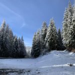
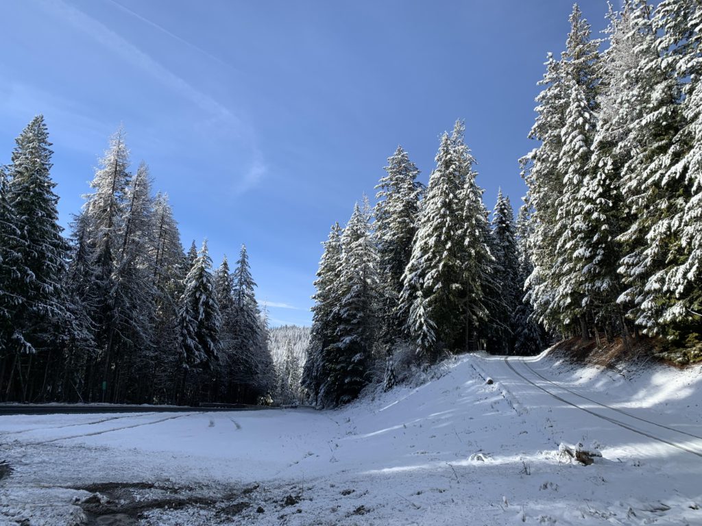
The North-South Ski Bowl, built in the 1930s by the CCC and for most of its history operated by WSU, included a chairlift and lodge, but operations were discontinued in the 1990s. The lodge is now private and the only skiing left is the XC trail network. The loop bypasses the lodge, following FR-377 for half a mile to the junction with ID-6. Cross ID-6 and continue on FR-377, which, tire tracks in the fresh snow notwithstanding, is closed to motorized traffic during the winter months. It’s not quite another half mile to the next junction. The junction is unsigned but obvious and you want to swing a hard left, taking the gated road, an old forest road and now trail #221 aka Old Sampson Trail.
The Old Sampson Trail is named after Charles Sampson, who owned a music company in Boise. He named and maintained a network of trails and roads between Boise and Canada as a marketing ploy. Over 6 years, starting in 1924, the network grew to 6,600 miles. In 1933, the Idaho legislature officially designated the Sampson Trail.
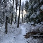
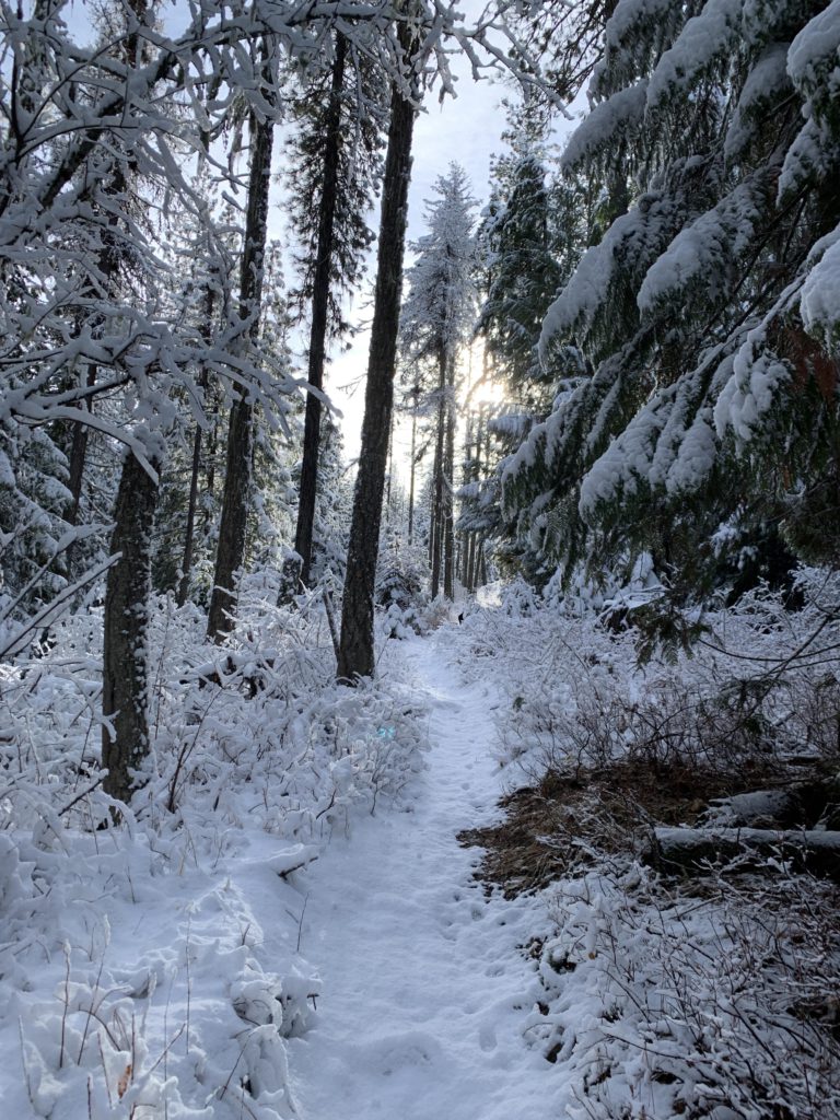
The Sampson trail follows an old forest road for a mile. There is one fork, where you bear left (it is signed). After a mile, the trail forks again. Take the right, uphill branch, which is narrower, more like an ATV trail. It hugs the ridge between Blakes and Mannering Creeks closely for 2.5 miles, but is slightly on the Blakes Creek side. The entire section is forested with no views. At the end of that stretch is another well-signed fork, where you’ll take the singletrack (left) that steadily descends towards Mannering Creek and ID-6, paralleling the road in the last section. Finally it crosses the road, then crosses Mannering Creek on a footbridge, and joins the Giant White Pine Campground where the old pine rots away. The connector is around 2 miles.
Alternate Routes
- The Giant White Pine trail network stretches out towards Bald Mountain (#224, 228); refer to the separate report
- I did not check out the southern tip of the Old Sampson Trail; judging by the map it dead-ends at FR-328
- #223 appears to be an alternative to #221, but requires more road-hiking
Things to Consider
Not so great