- Coeur d’Alene Mountains
- There are camping opportunities at the intersection of Goose Creek and FT 1520 as well as Snowbird Meadow.
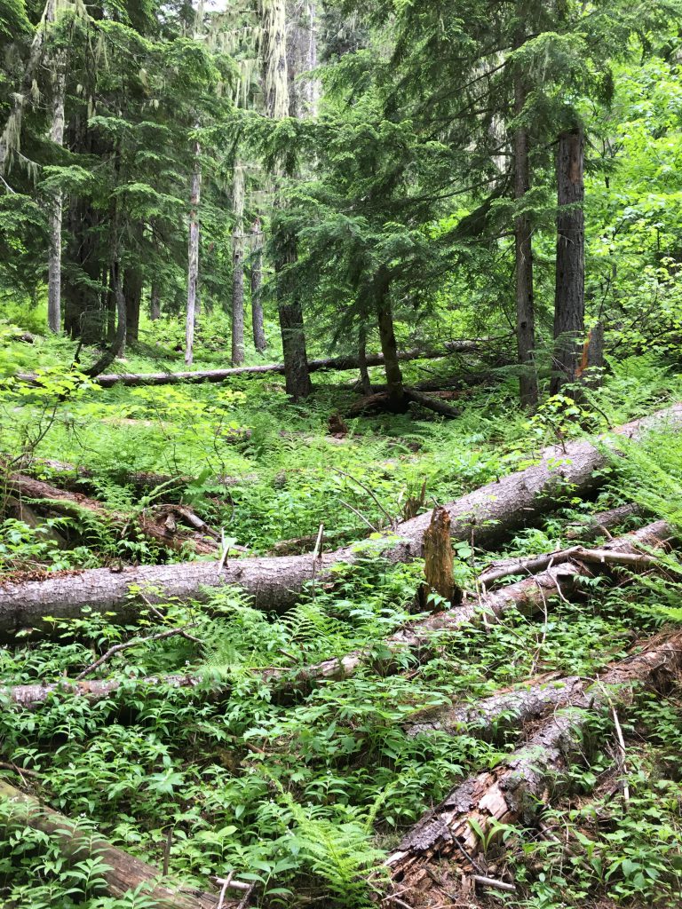
- The trails were in excellent shape; bushwhacking was a different story. The trail was frequently flooded, which is likely only an issue in spring.
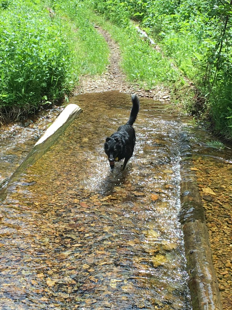
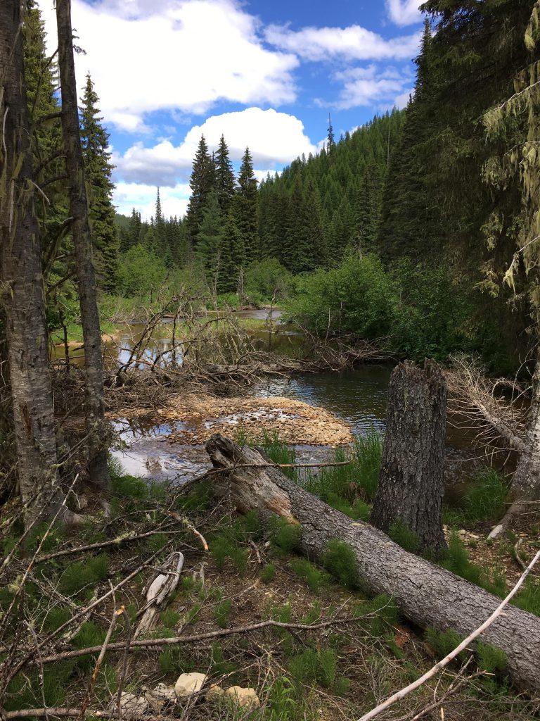
The Scribe had grandiose plans for this trip. It was going to be a one-day figure-eight loop, starting down FR-904, then Upper Independence Trail #3, then halfway down the main Independence trail #22, up Ermine Creek trail to Faset Peak, back down riding the ridge above Declaration Creek, and then up the regular Independence Creek trail for the return trip. The problem with that? For starters, FR-904 proved elusive–it existed only on our map. I discovered the 904 road bed quickly enough, but it was completely overgrown with shrubs and tall saplings and from all appearances had been abandoned for years if not decades. I found a game trail along the old road that was fairly easy to follow; at least for me. The Scribe, on the other hand, had his face plastered with cobwebs and fighting the shrubbery had scratched his arms. He went as far as telling me that my scouting skills were seriously lacking. A bit harsh. Anyway, we abandoned the road bed shortly and headed downhill through beargrass, ferns and more open forest towards Goose Creek. The going wasn’t exactly easy here either, as the forest floor was steep and littered with deadfall. We followed a gully as best we could, scaring Mother Grouse and her chicks along the way, and that led us to the north fork of Goose Creek. A light drizzle had started while we descended, and now intensified to a full-blown downpour. The Scribe stopped to put a cover over his pack and exchanged his boots for sandals. Even though the water was icy cold, progress was much quicker by hiking in the creek bed. We reached FR-1520 after about an hour and in that time covered all of one mile!
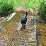
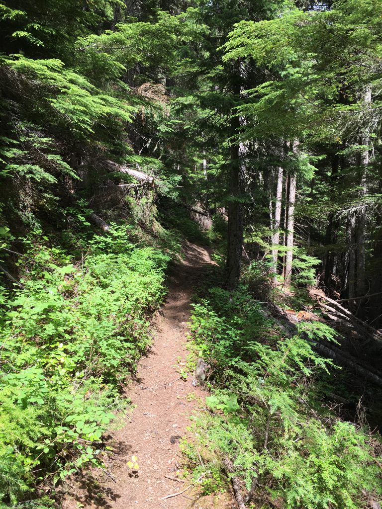
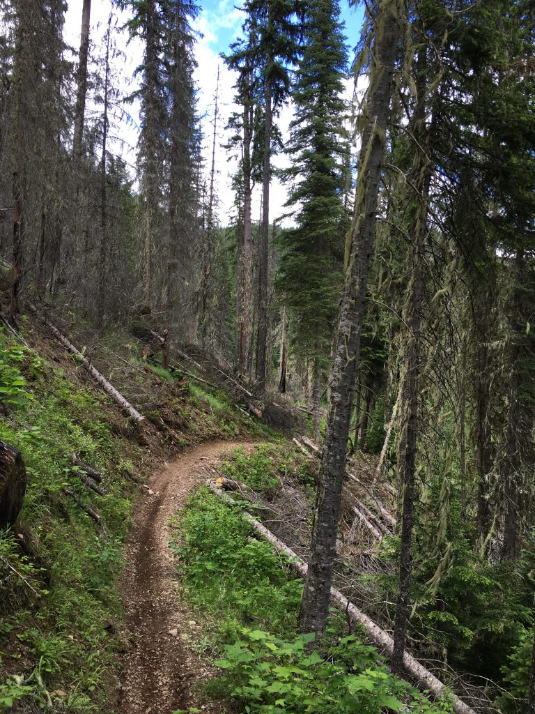
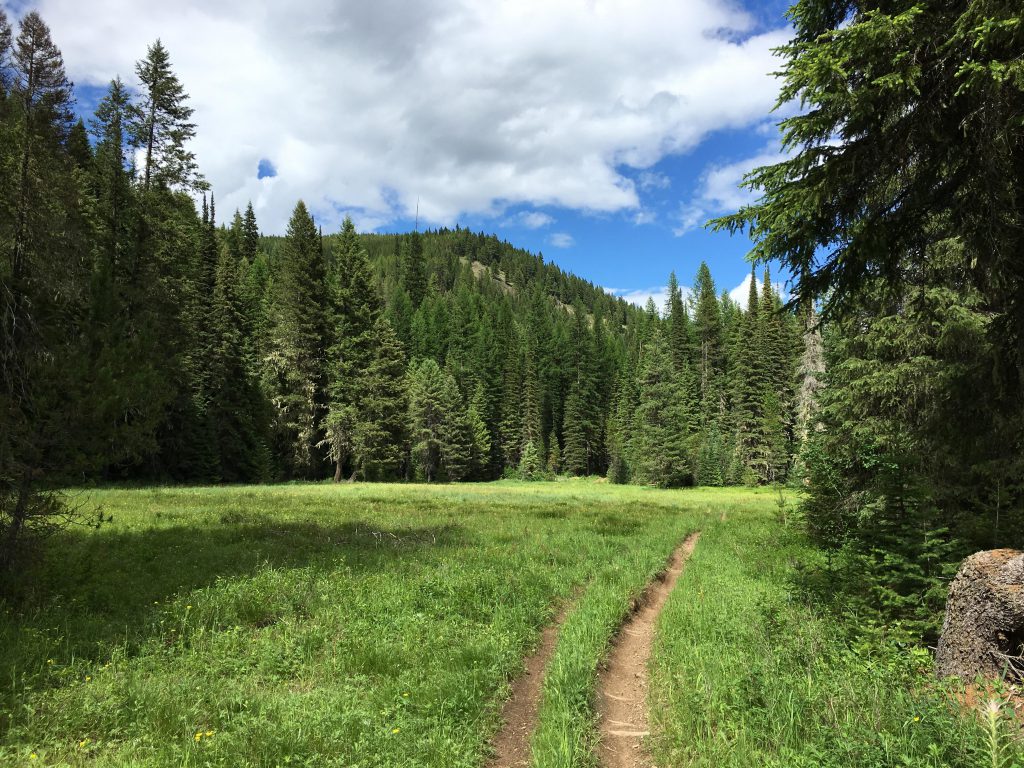
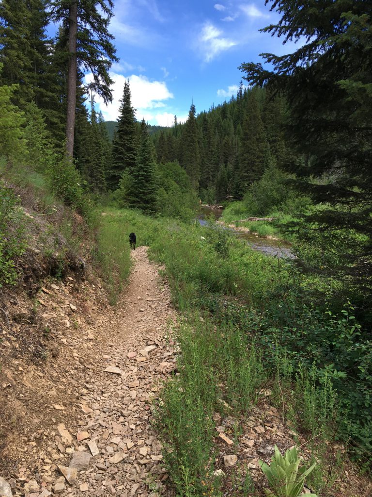
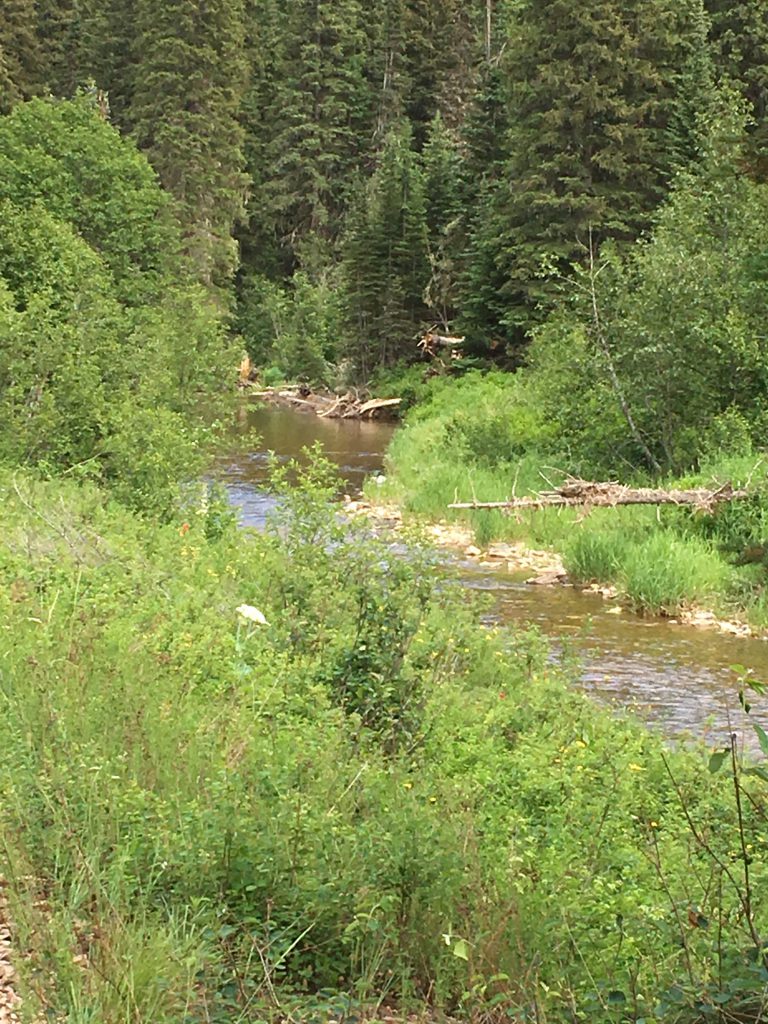
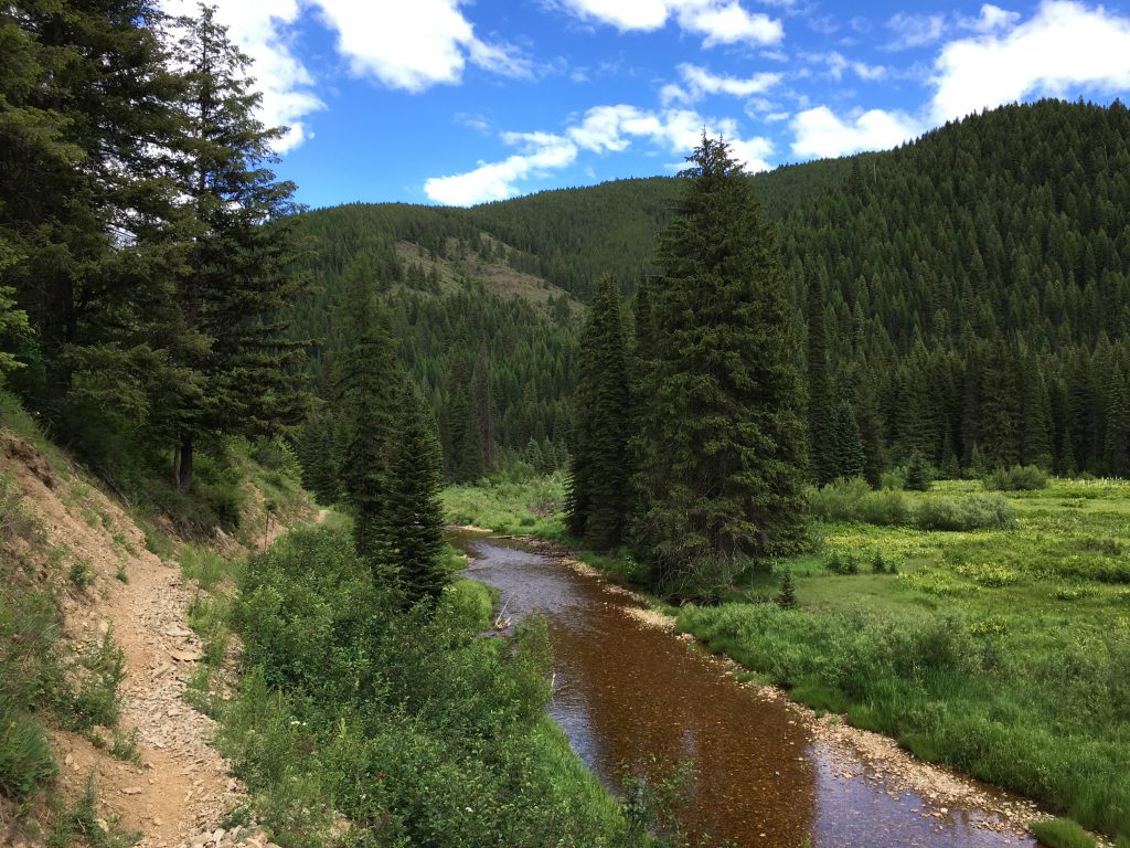
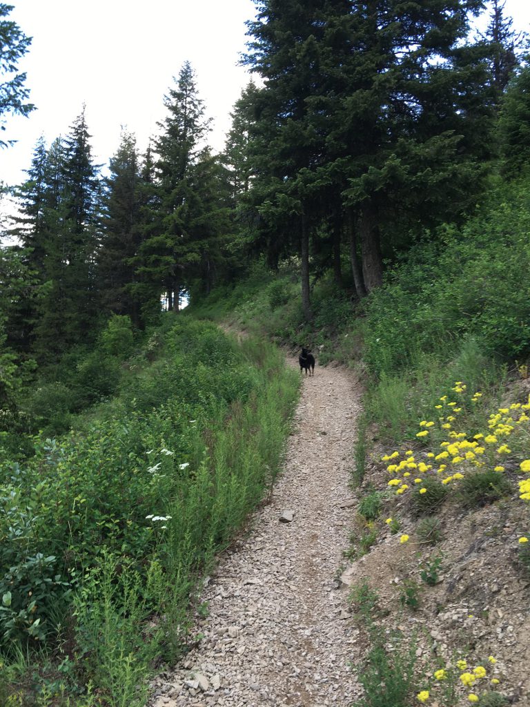
There was a pretty campsite in the woods at the intersection of FR-1520 and Goose Creek. We ignored it, however, and moved on, making good time along the forest road (a dual track, probably used by ATVers). The road was flooded in many places, this <br>being late spring. It didn’t matter to me; I always welcome a quick dip and the Scribe left his sandals on for a bit longer. The rain, luckily, had ceased. The trail followed the hillside above Goose Creek for about 1.5 miles, then dropped sharply to the creek and the confluence with Independence Creek. The trail got boggy and confusing, at this point; the important thing is to cross Independence Creek to the north side where the trail ascends the hillside, now a single track lined with beargrass. The trail hugged the hillside above the creek and was well-shaded with frequent views of the creek. Approximately 3 miles later the trail merged with the main Independence Creek National Recreation Trail #22.
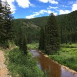
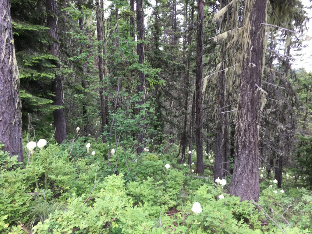
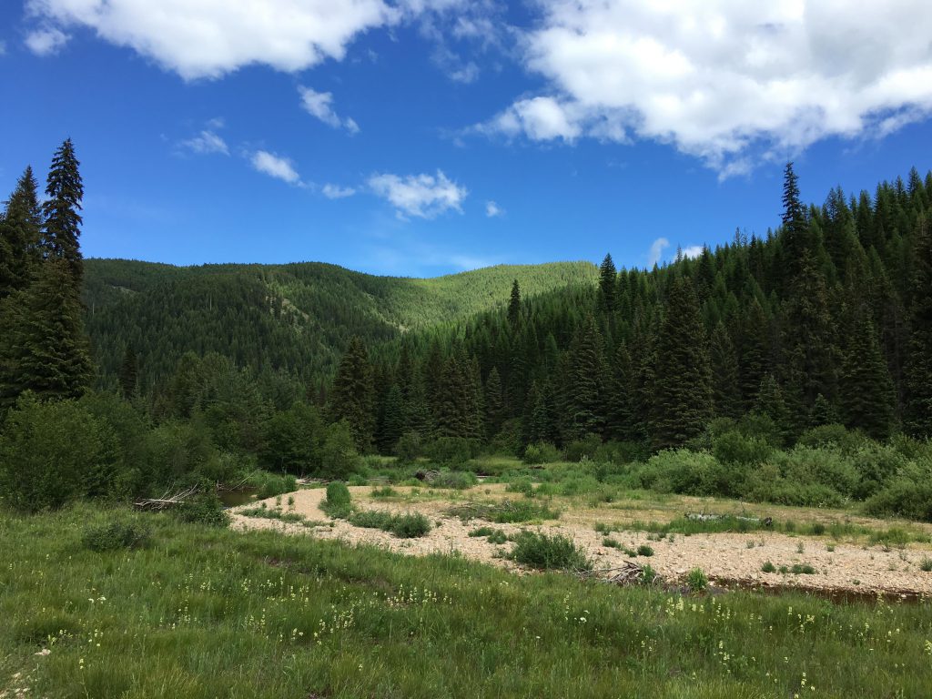
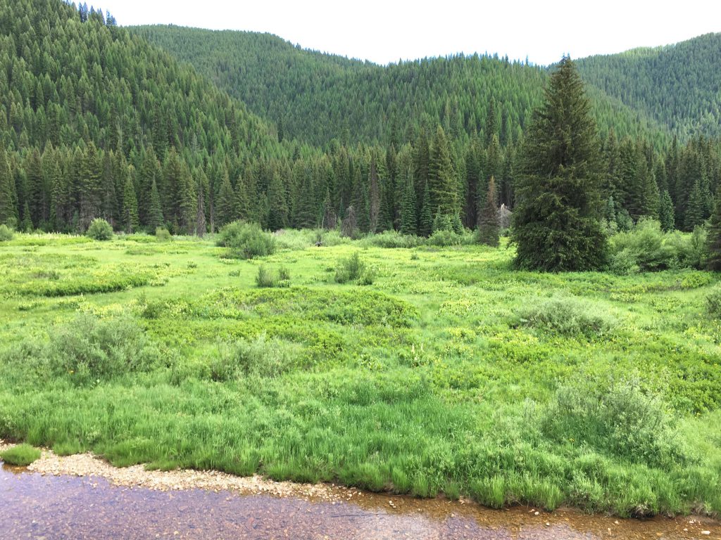
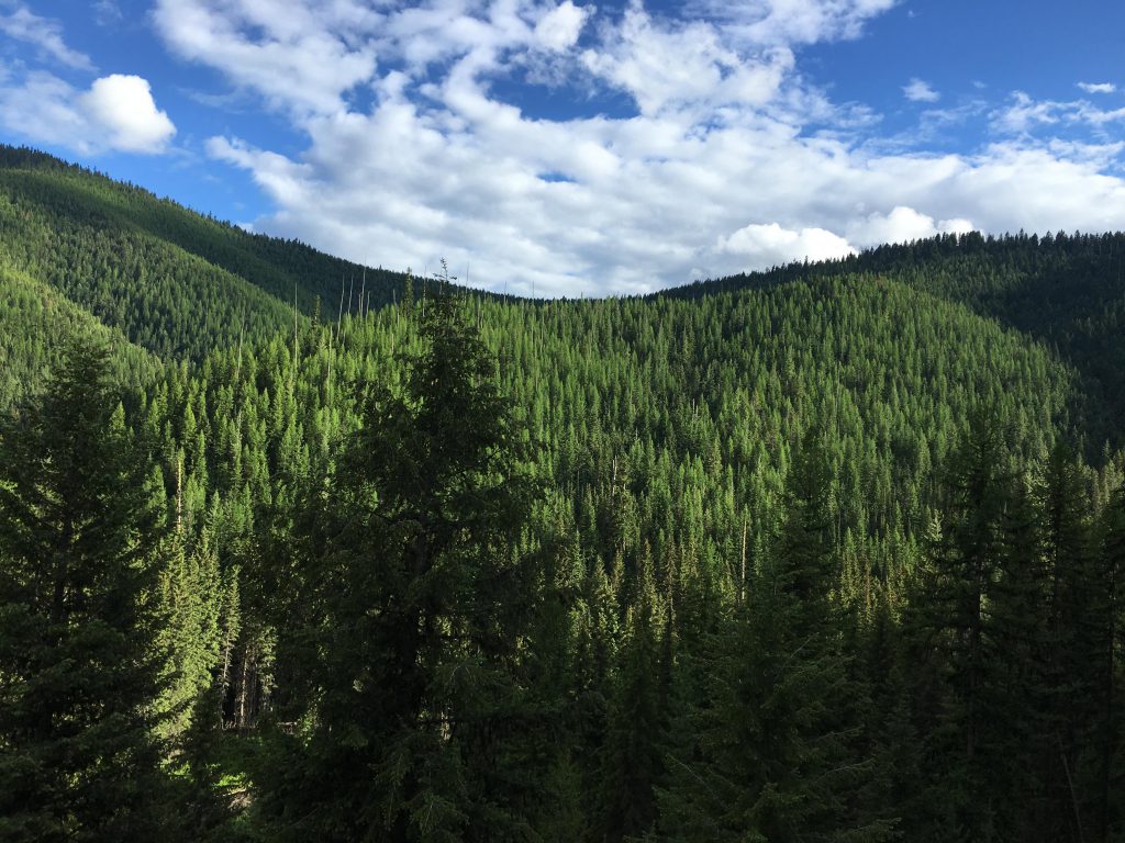
The trail continued on the north side of the creek, and crossed a series of tributaries which flooded the trail almost every time. At one of these obstacles, we came upon a whitetailed deer, which took off across the creek. Feeling generously, l let it go… The trail then opened up on a sprawling meadow inhabited by a large colony of ground squirrels. I chased and dug and chased and dug until I could barely see, my eyes encrusted with dirt. Reluctantly I followed the Scribe’s call and we left the meadow behind. Soon we came upon another, even larger one, and the chase started all over again. The views in this area, if you have time for such things (I don’t), were simply fantastic.
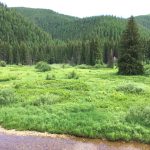
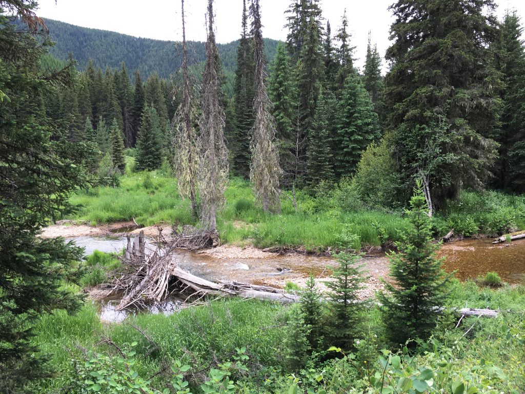
After Snowbird Meadow, the trail moved up the hillside a bit and within a mile or so led us to the intersection with Ermine Ridge. At this point, the Scribe’s grand plan completely fell apart: He was too tired to make the climb to Faset Peak. We retraced our steps to Snowbird Meadows, where we stopped at a pretty camping spot to filter water or, as in my case, drink right from the firehose.
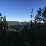
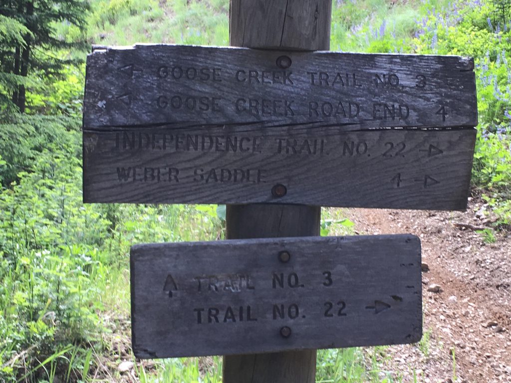
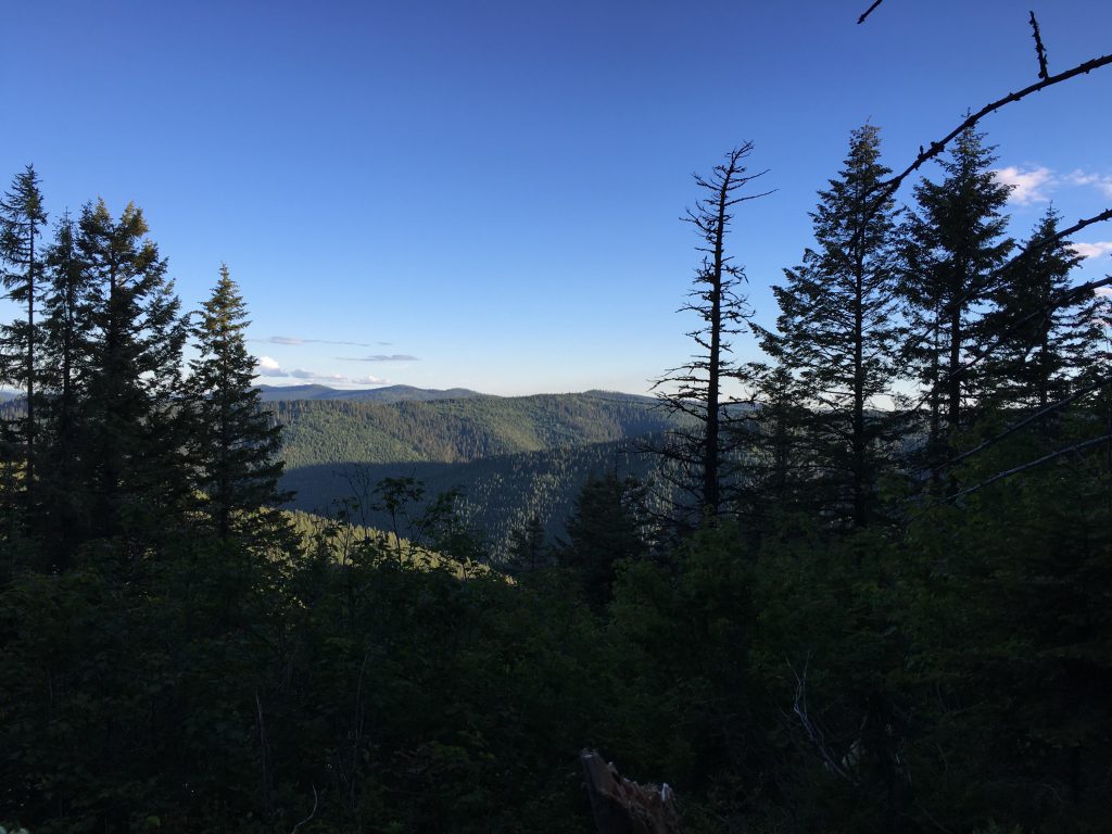
After that we followed trail #22 to the fork with Upper Independence Trail. At this point trail #22 veered off to the right and up the hillside. I ran ahead and indulged myself on frequent squirrel pursuits, while the Scribe slowly clambered up the mountain. The views were stunning, though, especially in the fading light!
Alternate Routes
- You can continue along Independence Creek for a few more miles. See the Faset Peak hike.
Things to Consider
Not so great