- Channeled Scablands
- There are numerous spots near the lakes
- Good
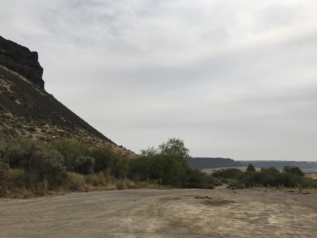
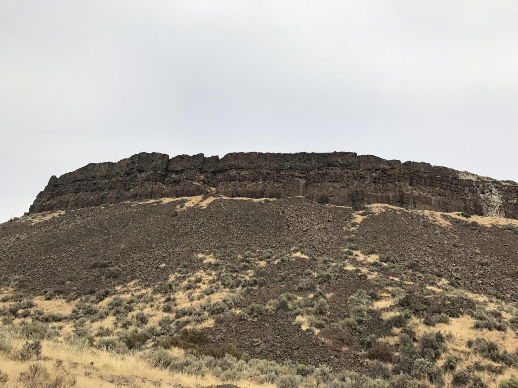
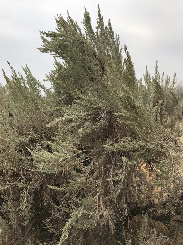
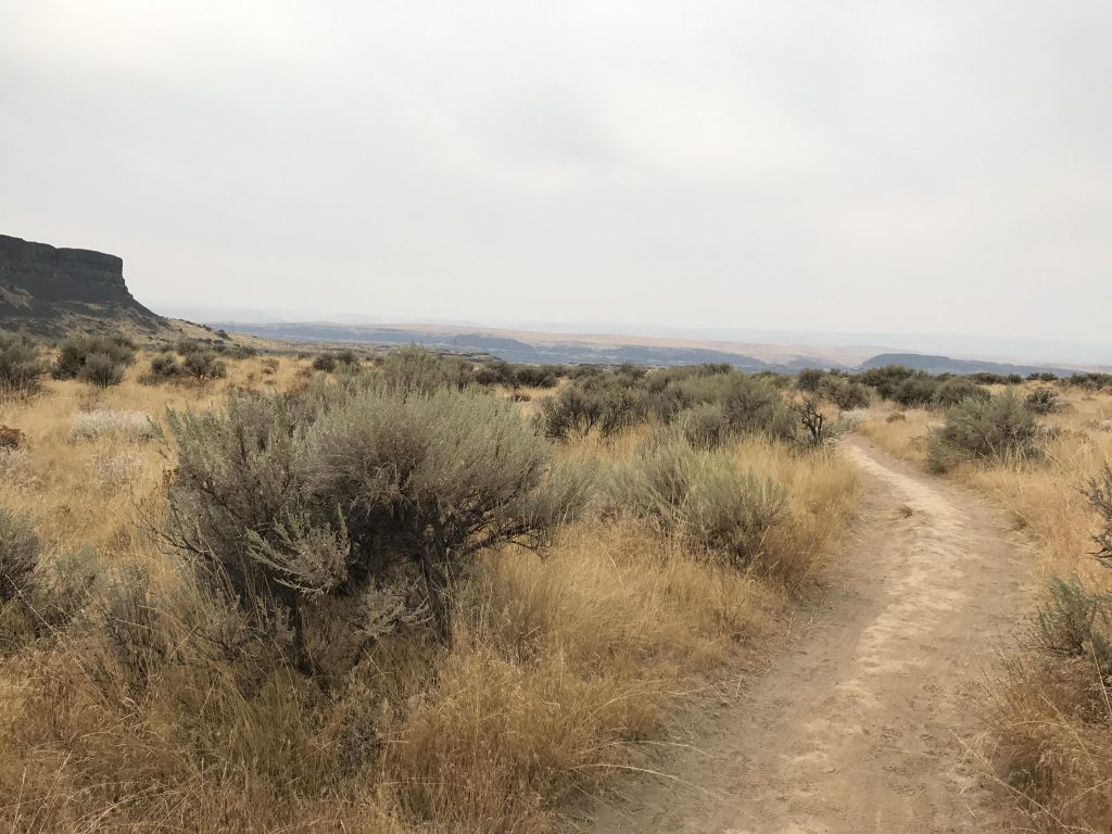
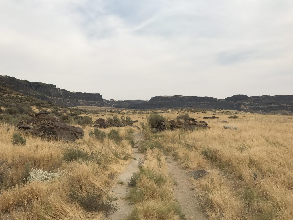
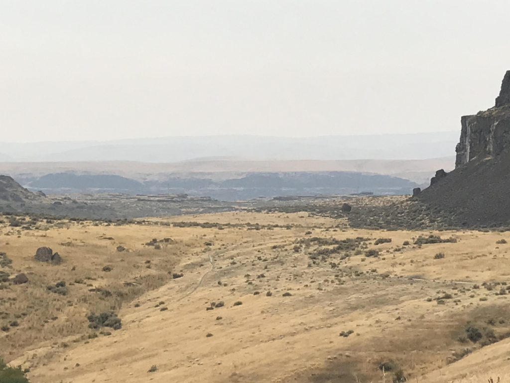
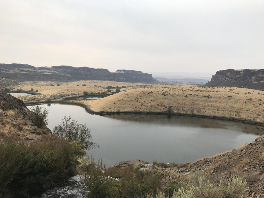
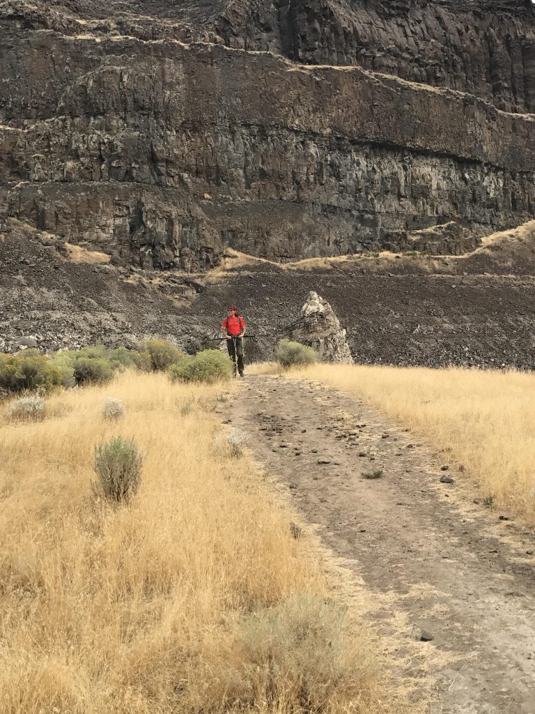
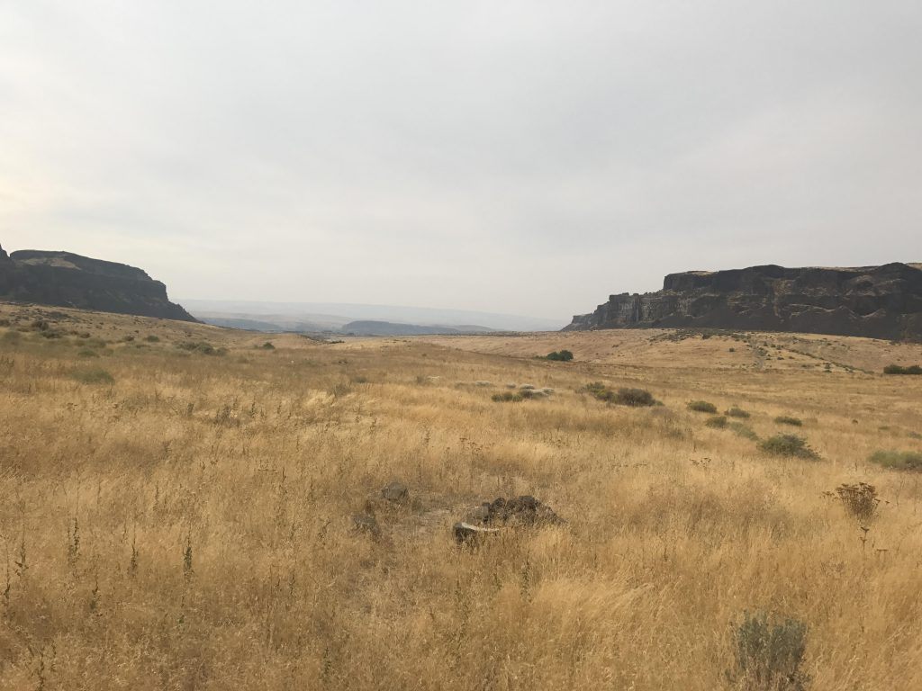
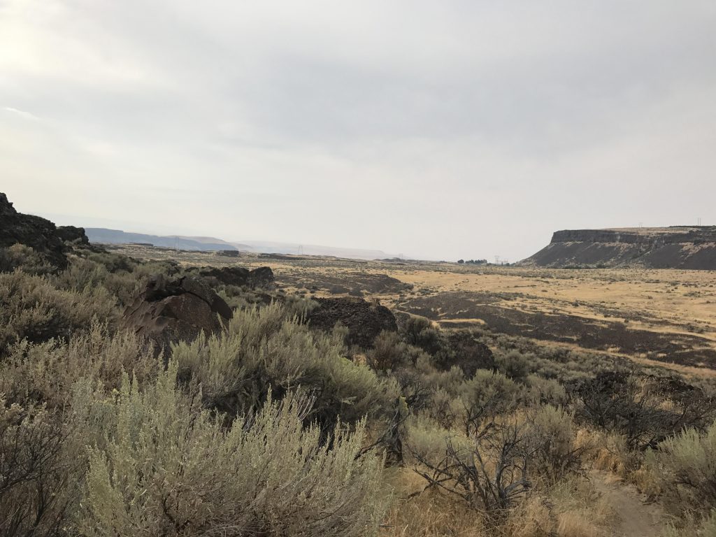
Based on a reader recommendation, we decided to check out Ancient Lakes on a recent trip to Wenatchee. There are 2 access points, east and west. We started at the western end, following a wide packed-dirt single-track making its way into the coulee along the northern base of the basalt cliffs. The trail is easy to hike, mostly flat, leading through dense grass and sagebrush growth. There are no trees, making this mostly a spring and fall hike (watch out for rattlesnakes in the summer!). Spring is probably better, when the wildflowers and cacti are in full bloom. This being fall, the grass was yellowed and few flowers remained.
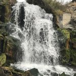
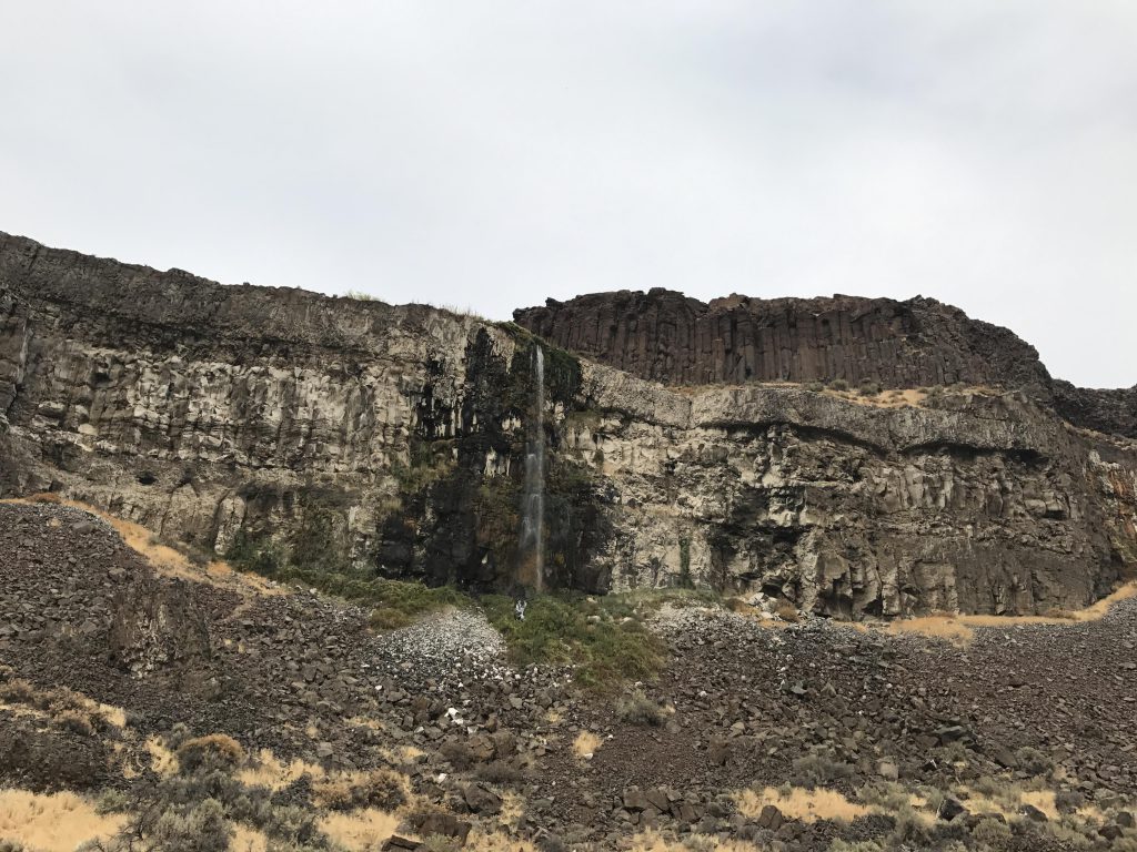
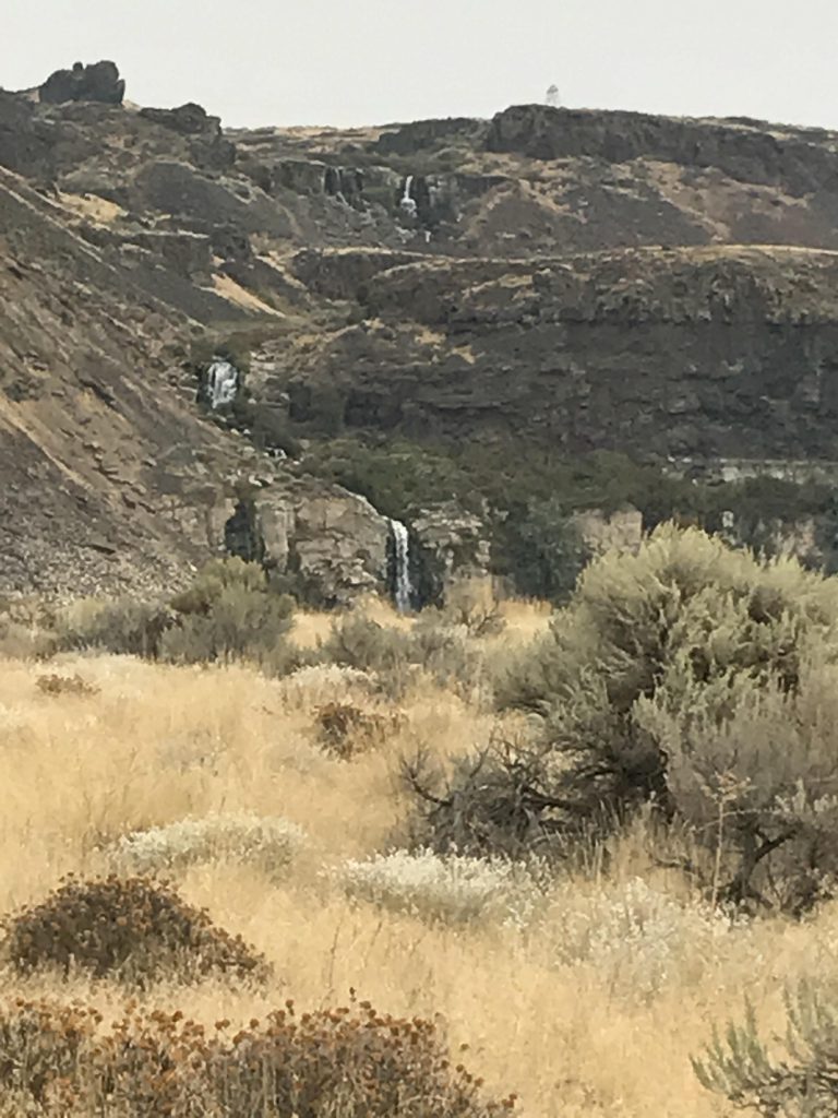
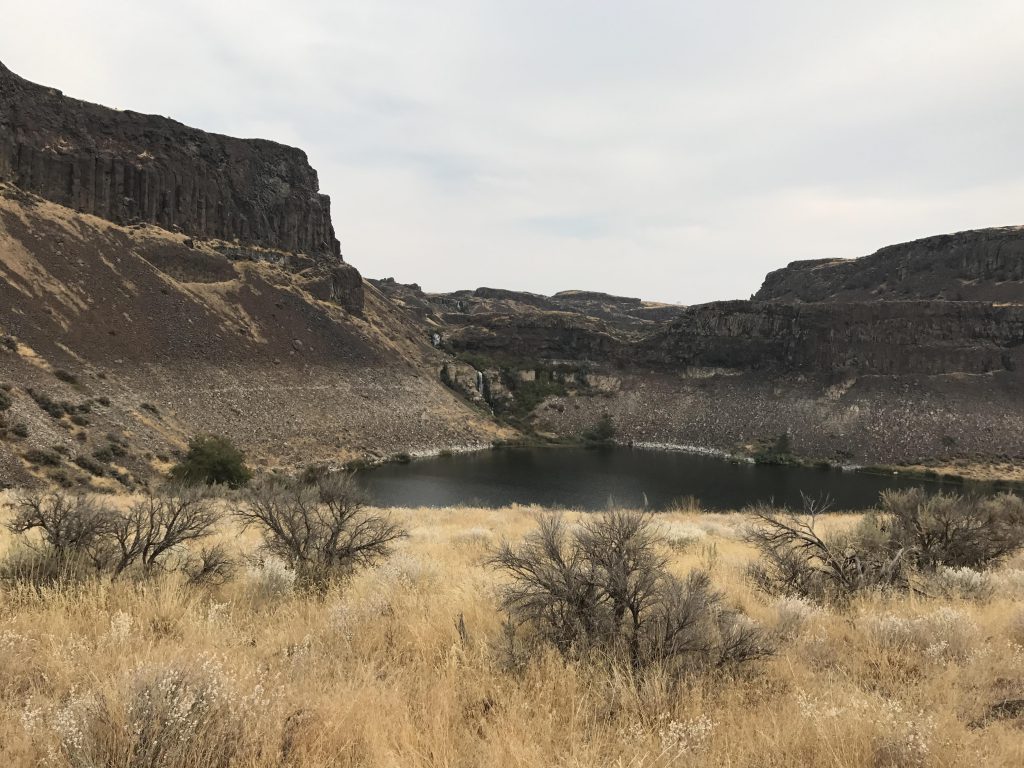
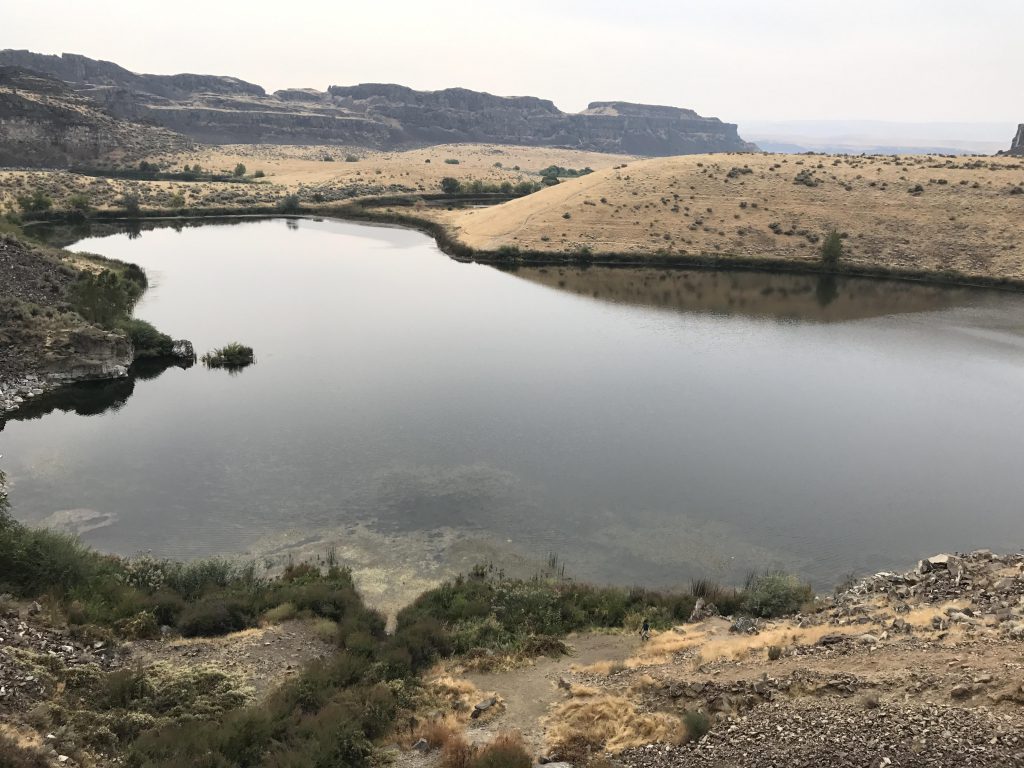
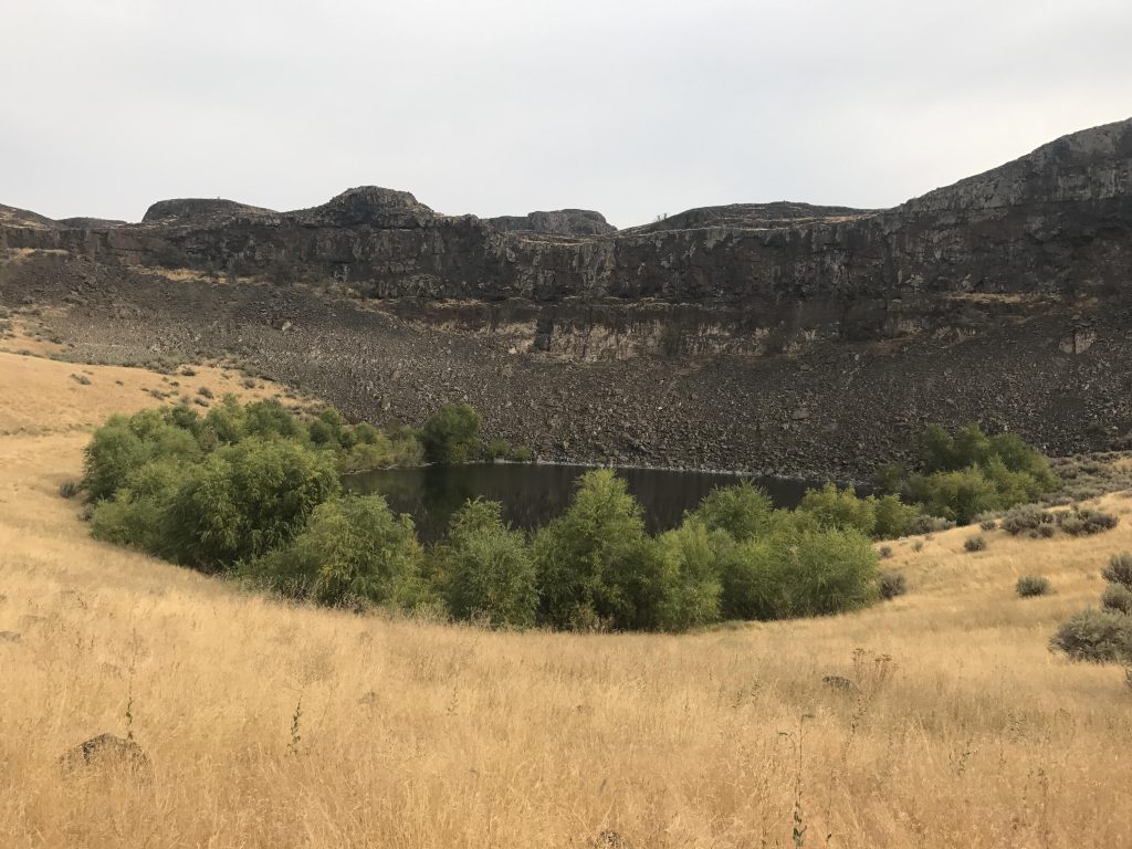
The landscape changes once you reach the end of the coulee and the first lake comes into view. There are various ways, of different difficulty, around the lakes. We chose to move along the northernmost shore, which crosses a talus section to two waterfalls. A trail leads uphill from the lower to the upper fall, and from there you can continue on to Judith Pool and H Lake and eventually end up at the eastern trailhead.
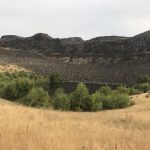
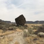
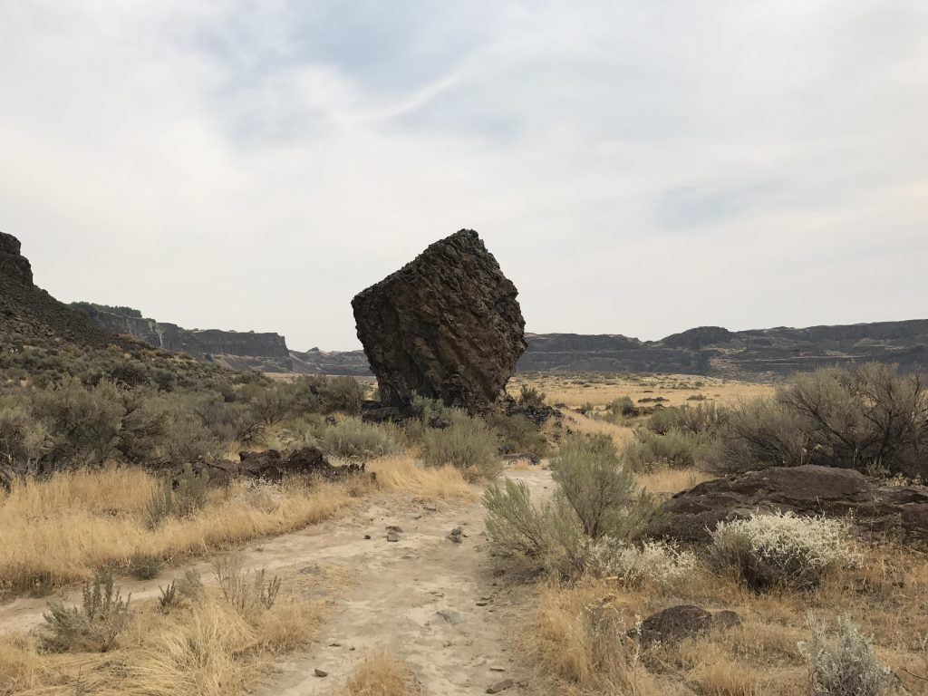
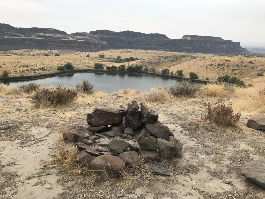
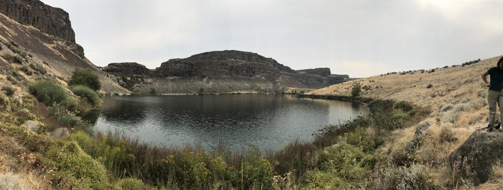
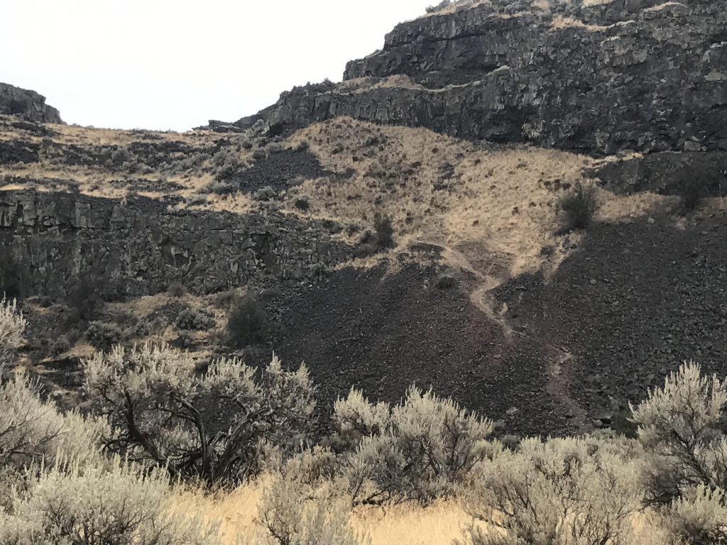
Instead, we continued around the lake–more talus–and emerged on a dike-like hill dividing the lakes. Along this stretch are a few good campsites near the lakes’ shores. For the return trip we moved along the southern basalt cliffs, with the trail skirting another small lake, ringed prettily by the only trees in the coulee. Soon the trail forks and a side trail leads up the cliffside, no doubt to an excellent vantage point overlooking Dusty Lake, which fills the coulee to the immediate south. We continued on the main trail (right), however, which wound its way through giant boulders and rock formations to the mouth of the coulee. Another fork then appears, with the left prong heading into the Dusty Lake basin and the right one back to the trailhead.
Alternate Routes
- Use the eastern trailhead for a much shorter hike to the lakes (perhaps a mile). Or, continue to the next coulee, Dusty Lake. Or, head down to the Columbia River!
Things to Consider
Not so great

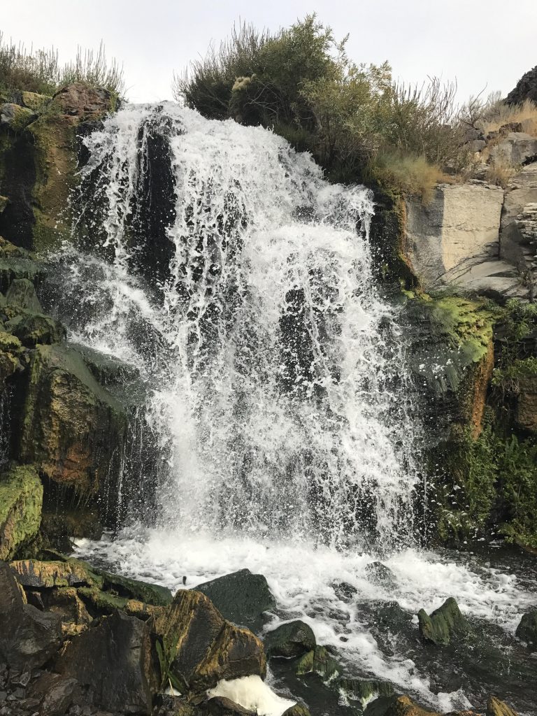
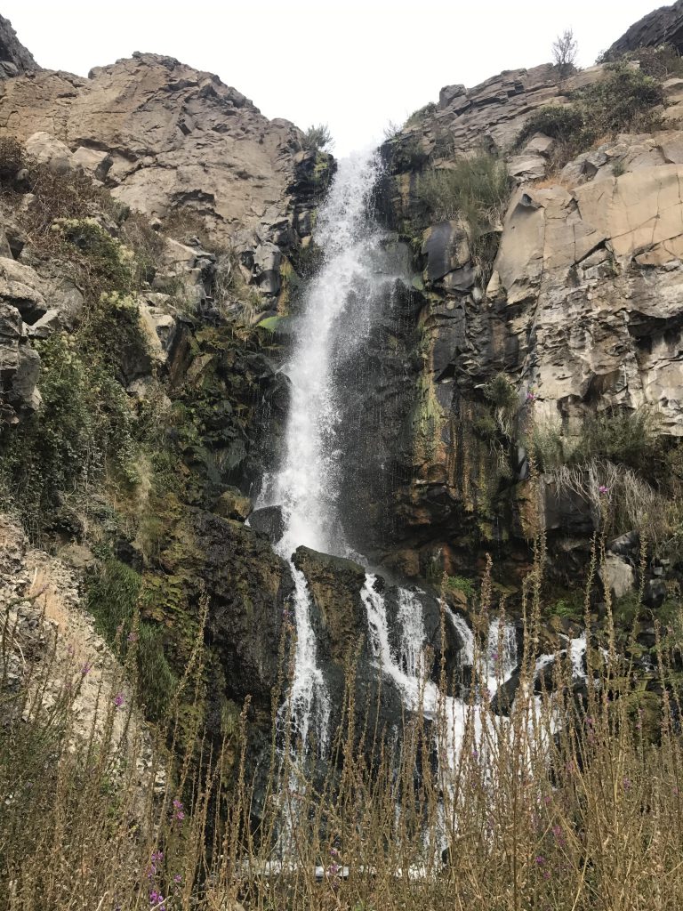
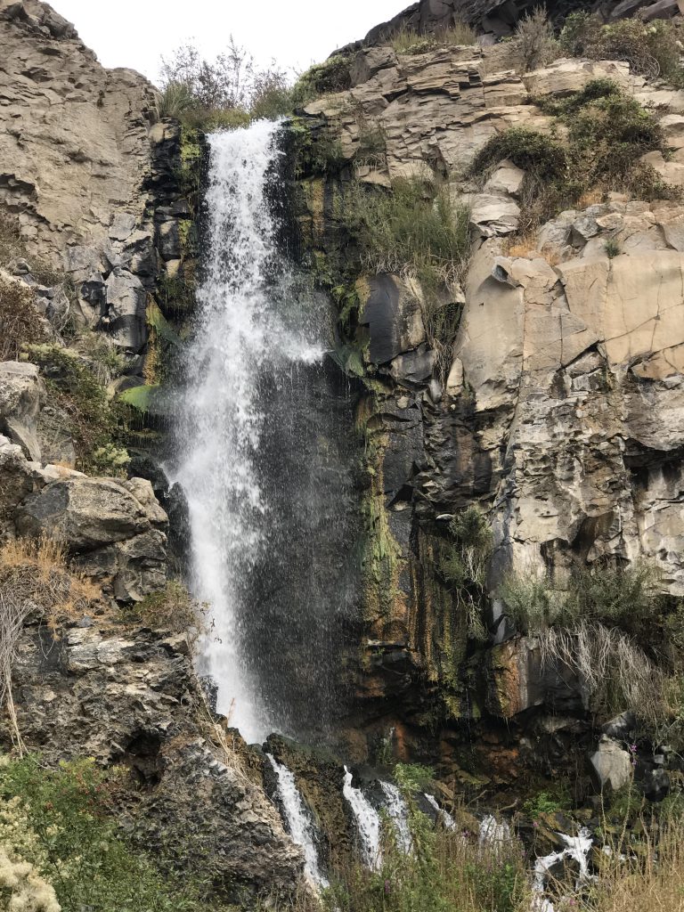
I have wanted to do this hike ever since I learned about it. Waterfalls in the desert are an awesome thing!
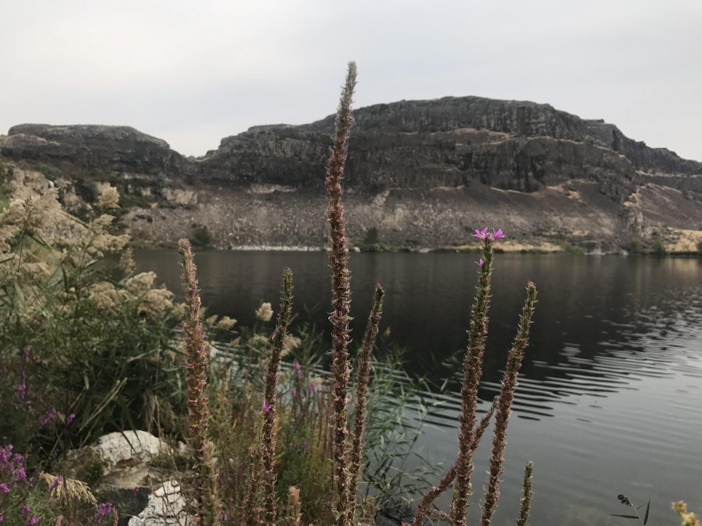
Yes that was pretty amazing, especially this late in the season. This is apple country and so it’s mostly irrigation runoff (at some spots you can see the orchards up on the plateau). There’s no outlet to the lakes, so it probably seeps down to the Columbia or gets pumped right up into the orchards…
I have wanted to do this hike ever since I learned about it. Waterfalls in the desert are an awesome thing!
Yes that was pretty amazing, especially this late in the season. This is apple country and so it’s mostly irrigation runoff (at some spots you can see the orchards up on the plateau). There’s no outlet to the lakes, so it probably seeps down to the Columbia or gets pumped right up into the orchards…