- Selkirk Mountains
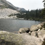
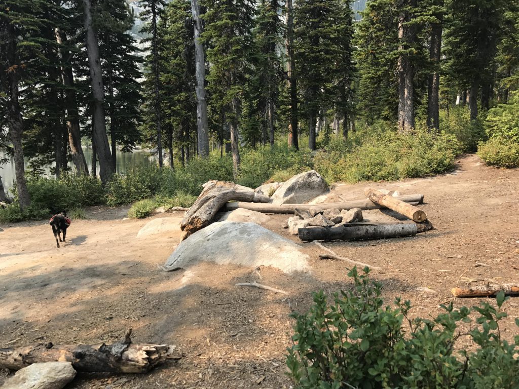
- There are several sites on Pyramid and Upper Ball Lake and a large one at Lower Ball Lake
- Excellent
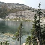
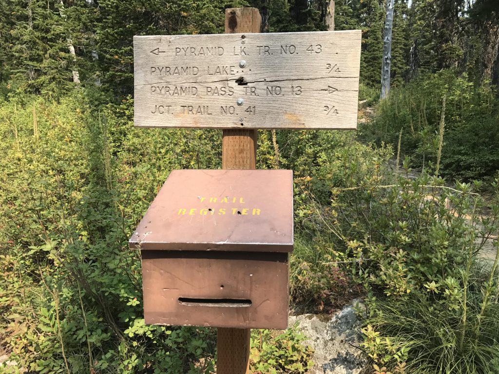
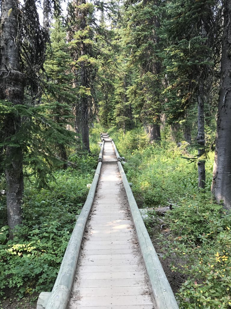
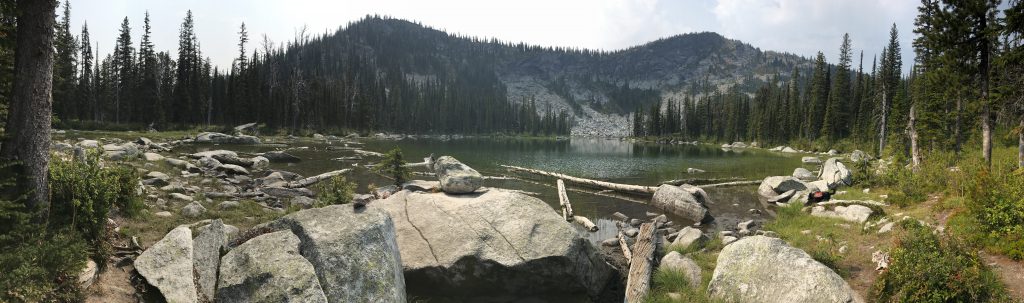
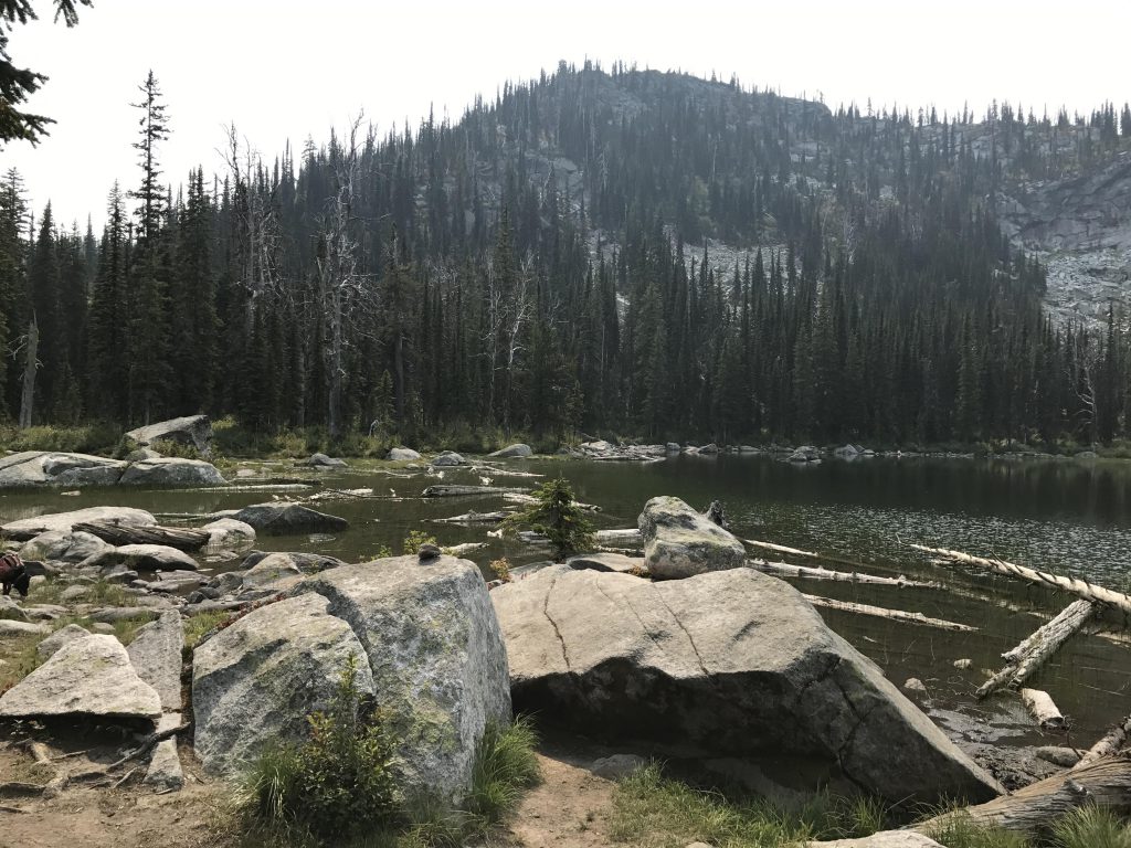
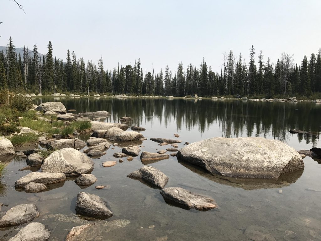
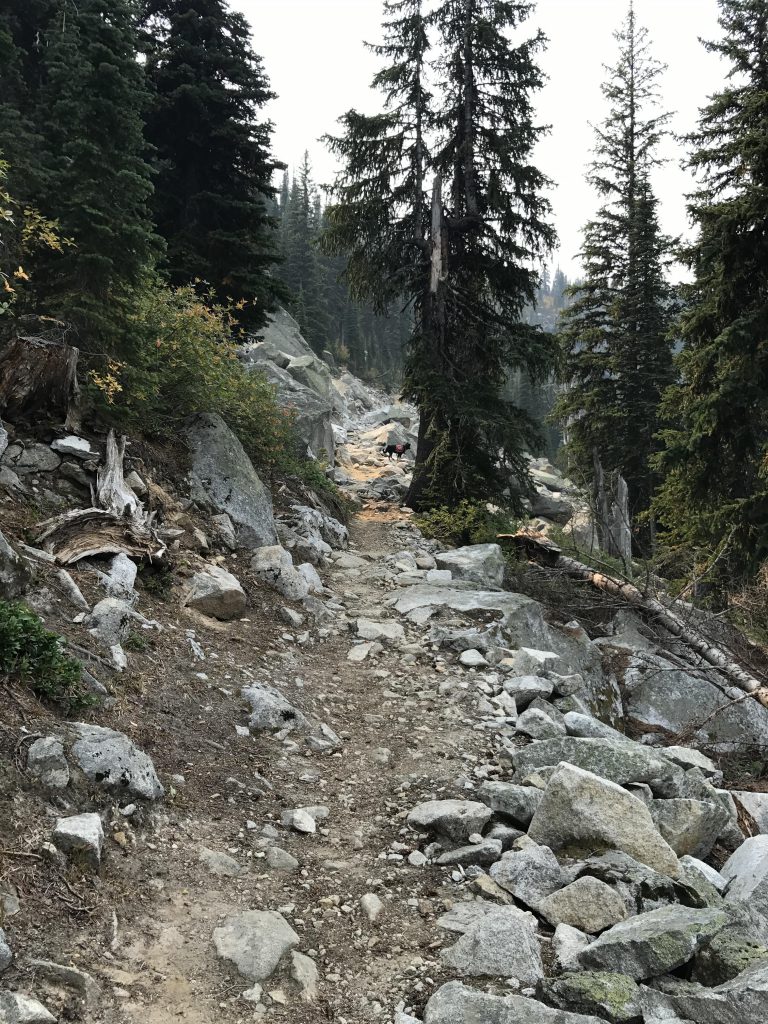
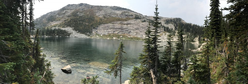
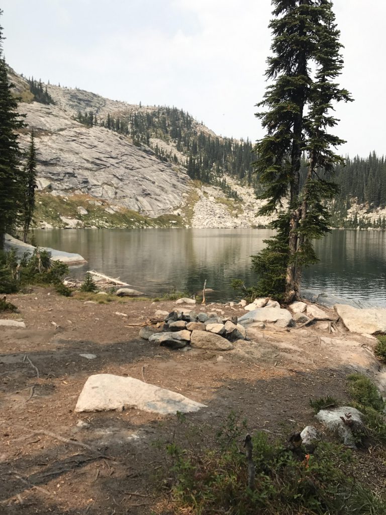
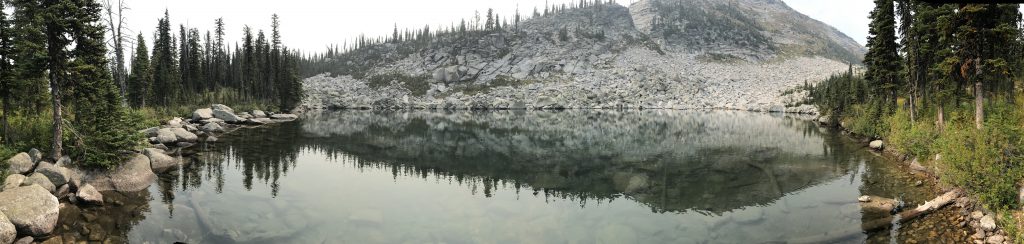
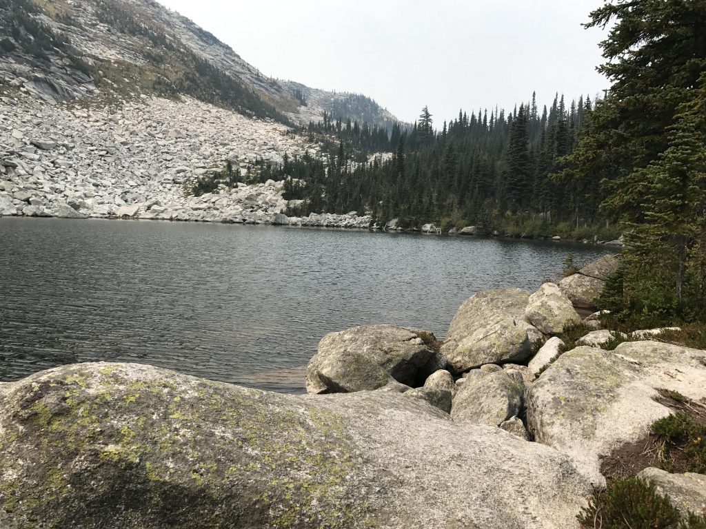
From the junction of trails #43 (Pyramid/Ball Lakes) and #13 (Pyramid Pass), the trail crosses a small creek and meanders slightly uphill through a boggy open forest, frequently straddled by boardwalk, assuring no wet feet. In about a mile Pyramid Lake comes into view. Overshadowed by massive headwalls to the south and west. The hourglass-shaped lake offers a number of campsites along the forested northern shore, the best probably at the narrowing of the lake’s “waist” (the lake also appears to be deeper in the larger western section, if you’re thinking about going for a swim….).
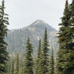
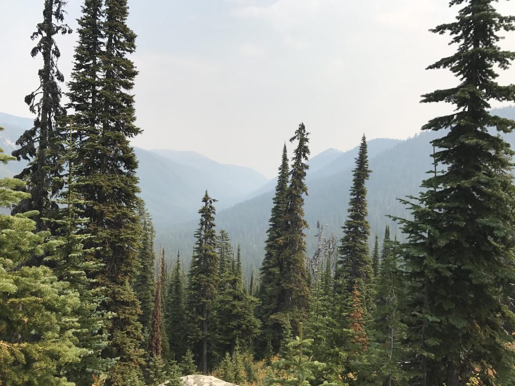
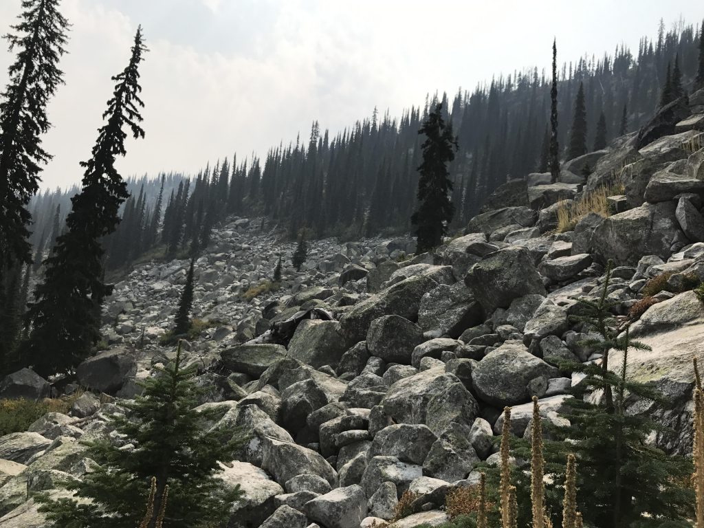
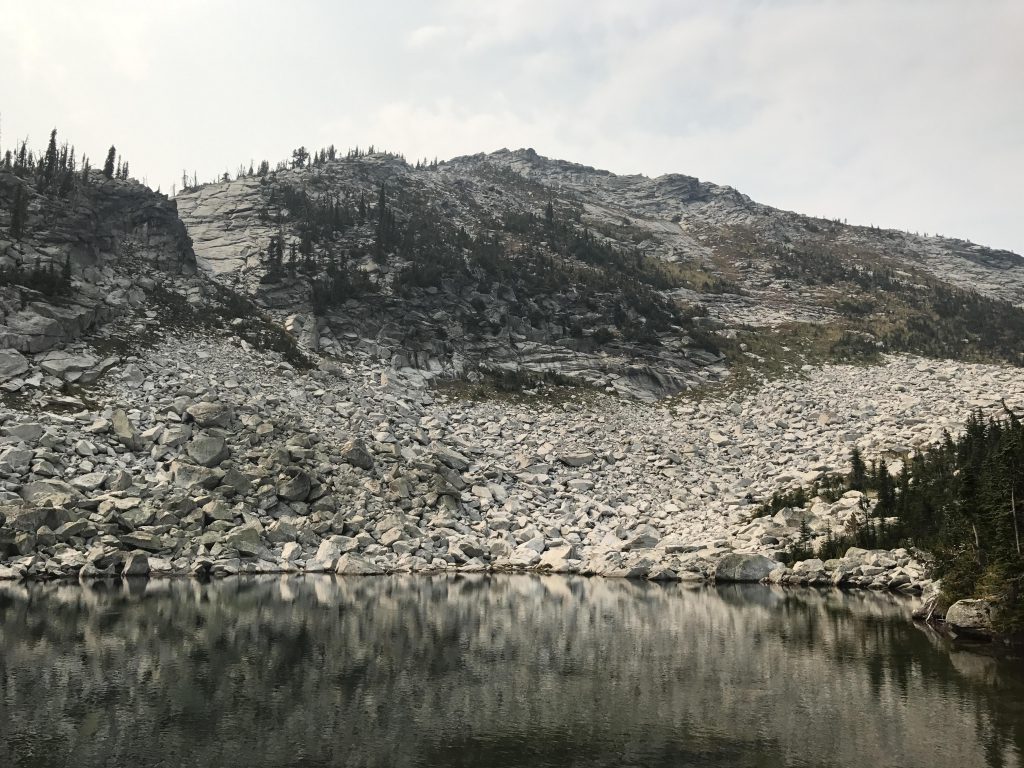
Continuing on, trail #43 skirts the eastern shore of the lake, moving in a southeasterly direction through mostly fir and spruce forest with good views down the Trout Creek drainage towards the Kootenai River Valley (it got increasingly smokey while we hiked, though, limiting those views). The trail reaches a huge boulder field, switchbacks, and moves around the mountain’s flank to steadily climb the southern headwall of Pyramid Lake. Much of this is talus-covered and pretty steep with only a few switchbacks, but the trail is wide and the views of Pyramid Lake and soon Pyramid Peak are tremendous.
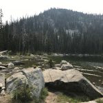
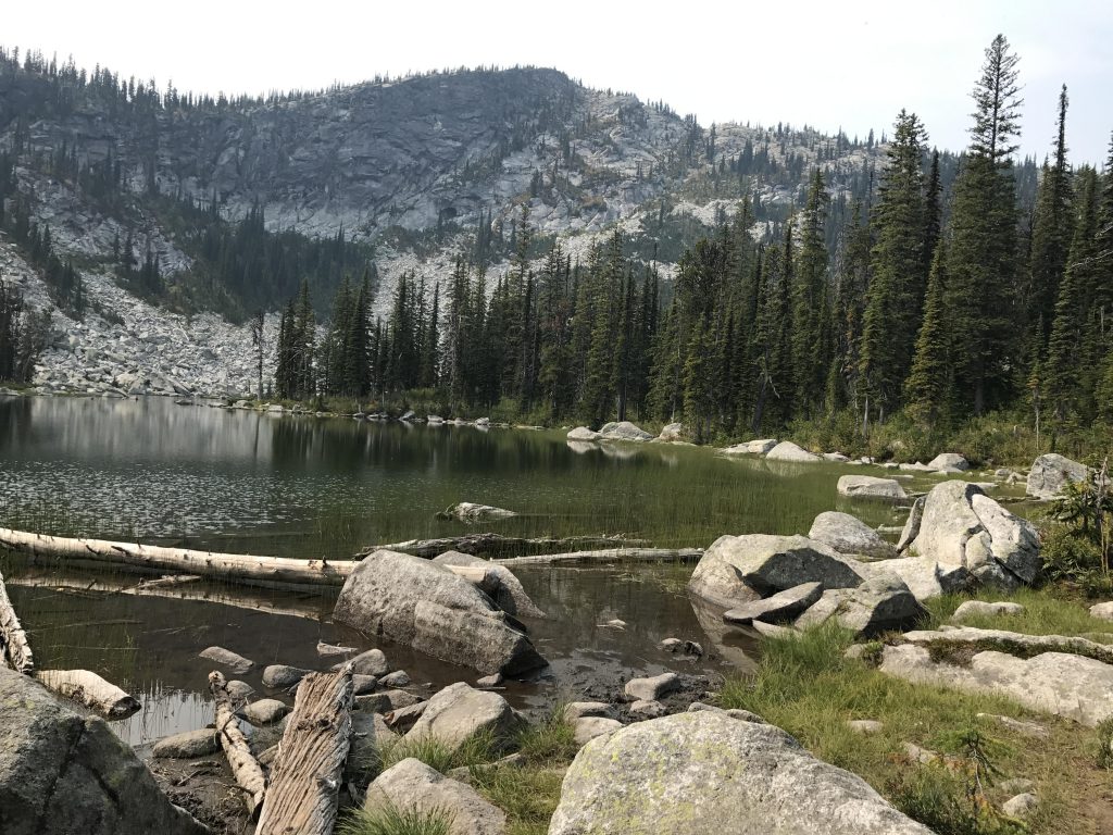
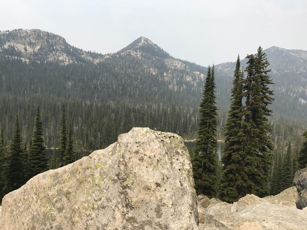
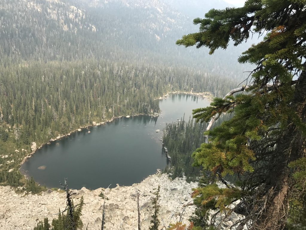
Once you reach the top, the trail winds through open forest with a much more modest slope and reaches the upper Ball Lake at around the 2-mile mark. There is a sign pointing up (west) and that trail ends at the upper lake in no time. There are several camp spots, with one of the better ones on the southern end near the lake’s outlet. Just like Pyramid Lake, the upper Ball Lake also is nestled against a headwall, albeit not quite as steep, and it stretches along both the upper and the lower Ball Lake.
To reach the lower Ball Lake backtrack to the sign and follow the trail for another quarter mile. The lower Ball Lake is much smaller and comes with just one campsite, but a large one at that.
The entire Pyramid-Ball-Lakes trail is part of the Pacific Northwest National Scenic Trail. The trail continues southwest, but turns into somewhat of a bushwhack during the descent to Lion Creek. A project for another day…
Alternate Routes
- Scramble up “Ball Peak”, the unnamed peak looming over upper and lower Ball Lakes
- Continue on the Pacific Northwest Trail: going west ends at the Pacific, going east at Glacier National Park
Things to Consider
Not so great
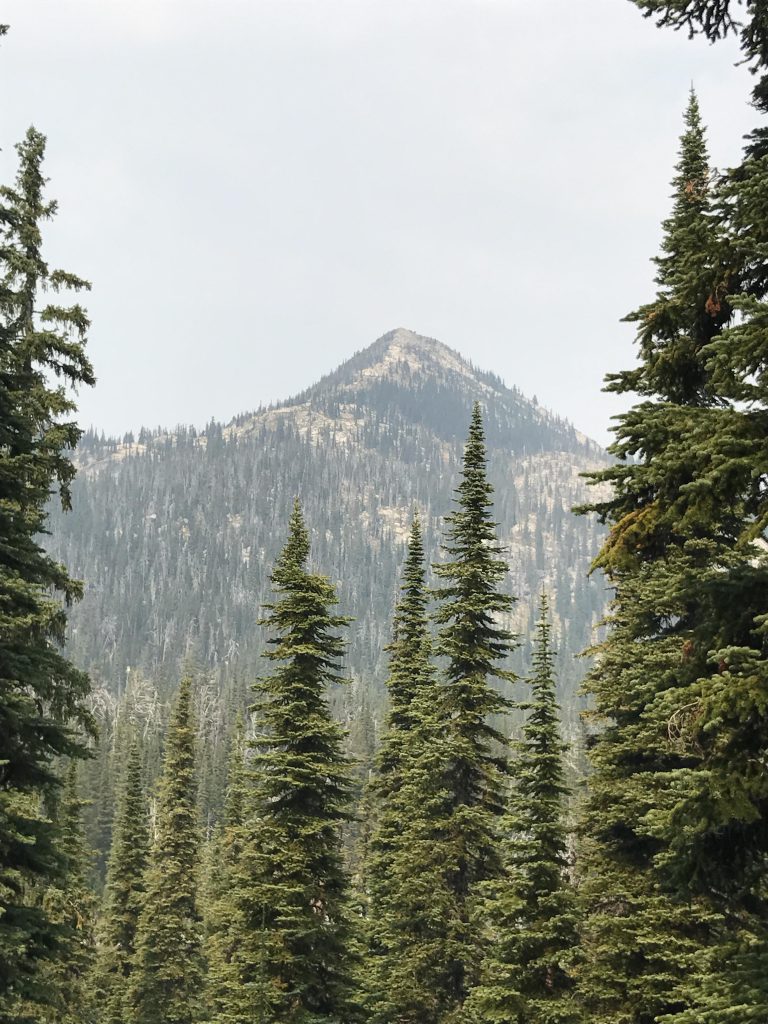
Beautiful scenery. I bet it will be even prettier without the smoke.
Beautiful scenery. I bet it will be even prettier without the smoke.
Absolutely. It’s been a smokey year, but hopefully the worst is over now