Pyramid Pass

The Pyramid Pass trail isn’t particularly spectacular on its own, but it’s an important connector to several trails leading to breathtaking alpine lakes in the northern American Selkirks, connecting the Long Canyon and Parker Ridge trails with those in the Trout Creek drainage. 
Location
  • Selkirk Mountains
Rating
2.3 out of 5
Difficulty
Moderate (some uphill hiking)
Distance
5.0 miles
Duration
2:10 hours moving time (Hiking)
Elevation Gain
1,500 feet
High Point
6,743 feet (pass)
Low Point
5,410 feet (southern trailhead)
Features
  • Mountain
  • Outing Type
  • Daytrip
  • Trail Type
  • Out-and-back
  • Trailbed
    Packed dirt, loose rocks
    Trail#
    13
    Water
  • A few brooks on the southern side. The last reliable one at the fork with the Big Fisher trail
  • Camping
    • At the southern trailhead
    Conditions
    • Excellent
    Administration
  • Kaniksu National Forest
  • Status
  • National Scenic Trail
  • Maps
    USGS
  • Pyramid Peak
  • Fees & Permits
  • None required
  • ()
    Open To
  • Hikers
  • Dogs
  • Horses
  • ()
    Directions
  • From U.S. Highway 95 in Bonners Ferry, drive west on Riverside Road (aka Country Road 18A) past the Kootenai National Wildlife Refuge to the Refuge’s headquarters. Take West Side Road (blacktopped) north for 10 miles to Trout Creek Road #634. Take #634 uphill for 9 miles to the trailhead (there is only limited parking for about 10 vehicles)
  • Season
    July – October
    Resources
      Date
      August 28, 2017

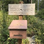
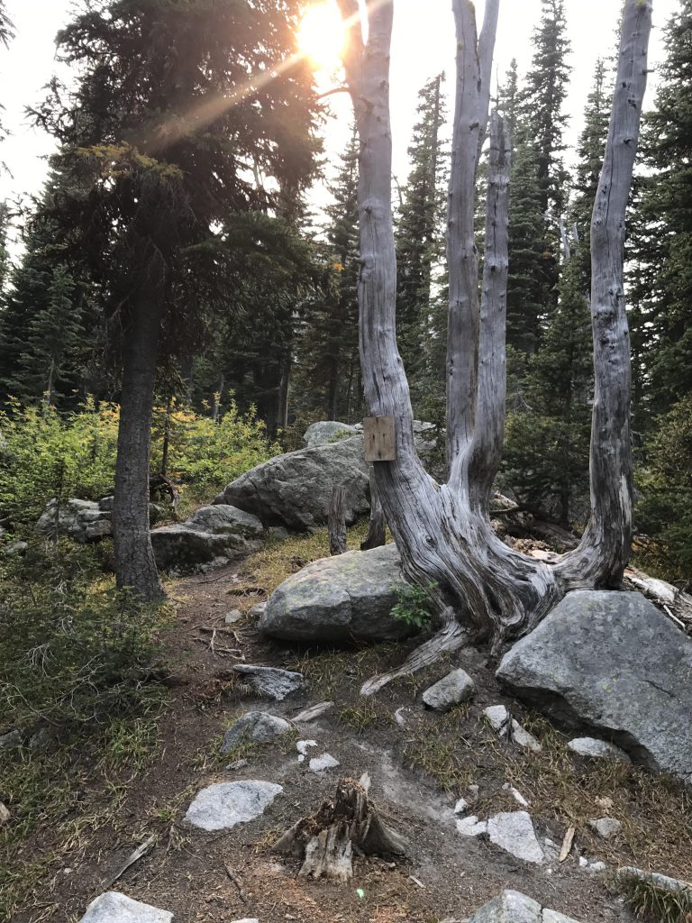
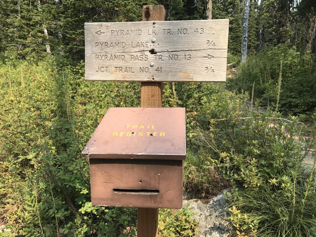
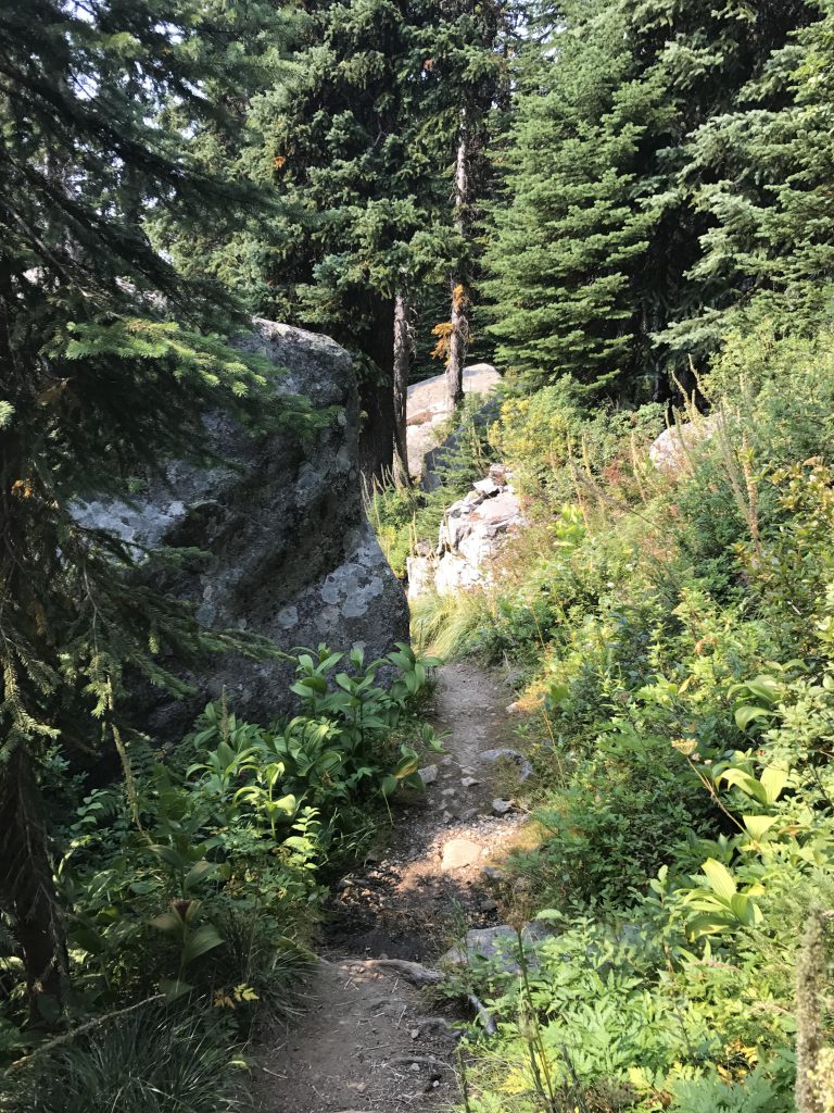
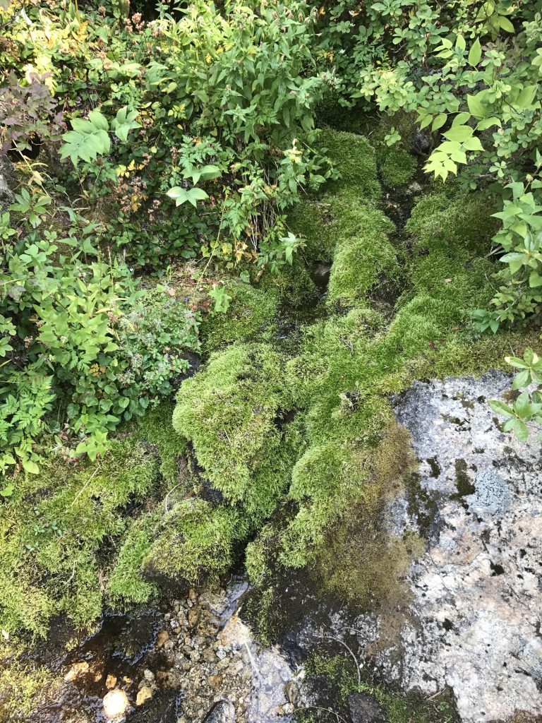
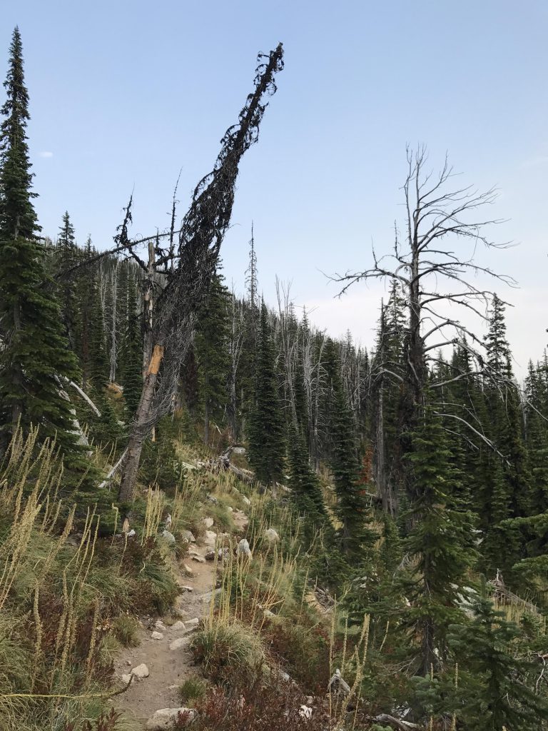
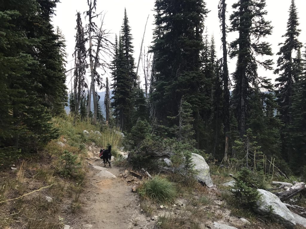
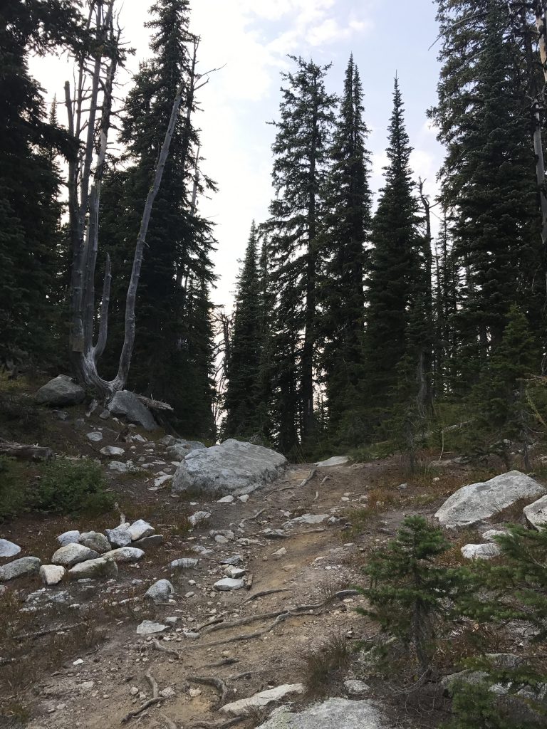
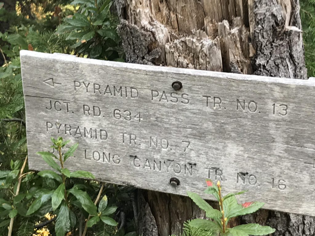
      From the Trout Creek trailhead, the path leads uphill for half a mile through an old clearcut, then mature forest, to the trail register at the intersection with the Pyramid Lake trail (#43). Trail #13 (right) continues uphill beneath a light cover of spruce and alpine fir, occasionally sidling up to a small brook, and after another three-quarters of a mile reaches the fork to Big Fisher Lake (#41). Beneath a wooden bridge you’ll probably find a year-around trickle, but this is likely the last reliable source of water. Continue left (uphill) and take in the limited views into the Pyramid Lake basin. It’s to your left, but you can’t actually see the lake. A few switchbacks ease the ascent, then the trail flattens out a bit only to get steeper again as you approach the pass. Once again switchbacks help with the incline.

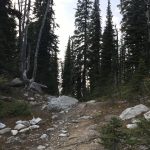
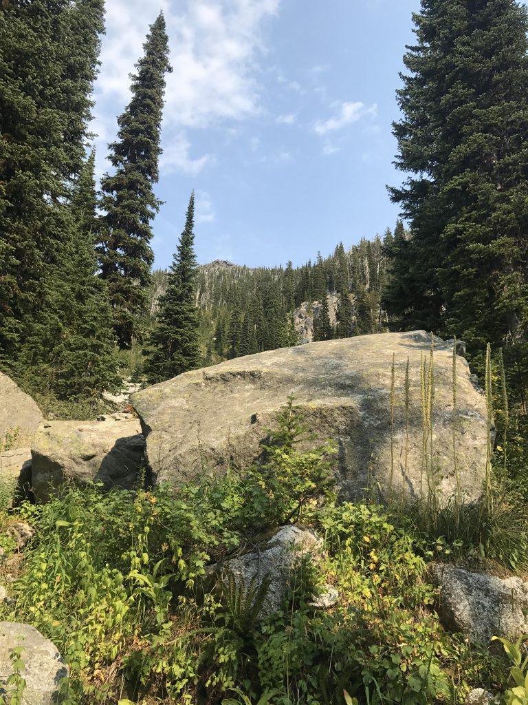
      The pass is rather anticlimactic, located in a heavily forested narrow saddle between Pyramid Peak and the Parker/Fisher range. A large boulder invites you to take a break and ponder a scramble to the top of Pyramid Peak. We planned on that, but the smoke made breathing difficult and views were impossible and thus we nixed the idea. It’s definitely a very worthwhile endeavor, though, up about 600 vertical feet.

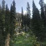
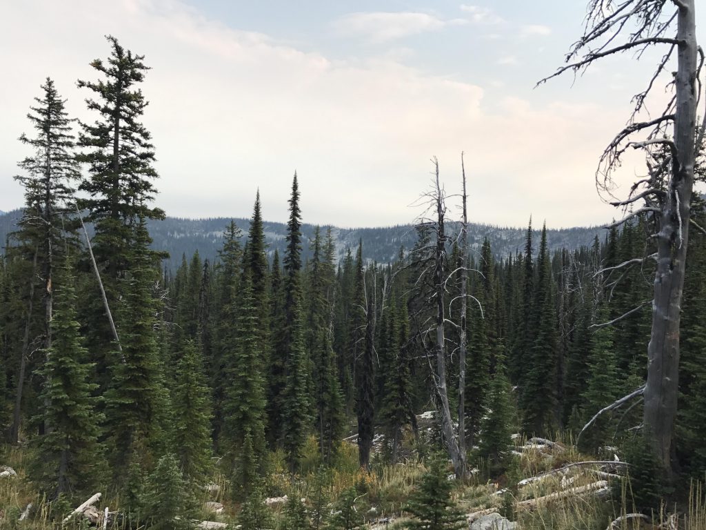
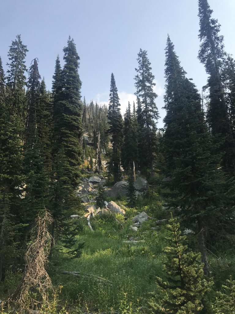
      The descent on the northern side is pleasant, leading through a grassy boulder-strewn high-mountain bowl to the junction with trails 7 and 221 in about half a mile.

      Alternate Routes

      • To spice things up a bit, scramble up Pyramid Peak

      Things to Consider

        Not so great

          The area around trail #13 is lightly forested, just enough to block most views
          Trail register at junction of #13 and #43 (Pyramid/Ball Lakes)
          Trail between enormous boulders on the southern side
          Mosses
          The trail hugs the side of a mountain that eventually becomes the Fisher ridge
          View into the Pyramid Lake basin
          Trail on the southern side
          Pass
          A huge boulder near the pass
          A high-mountain basin near the pass on the northern side
          Trail marker at nothern trailhead