- Selkirk Mountains
- At either lake
- Excellent (it was recently maintained)
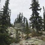
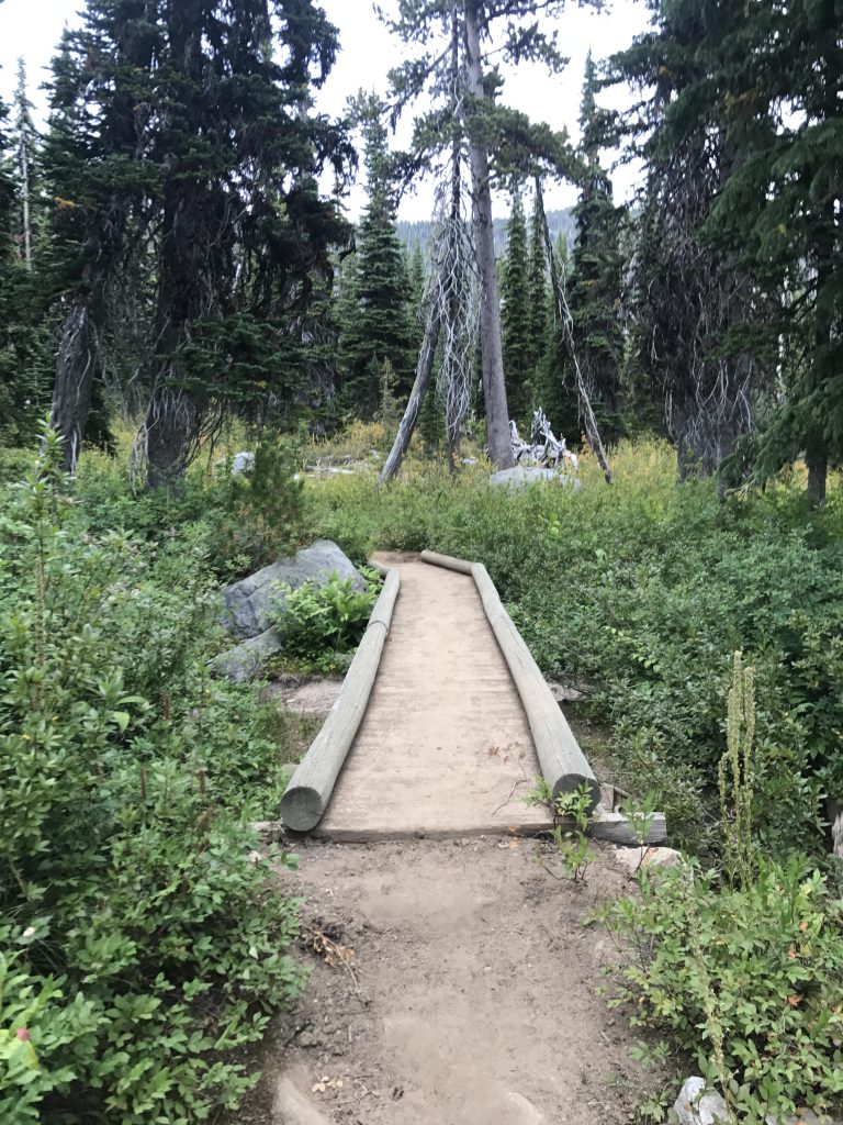
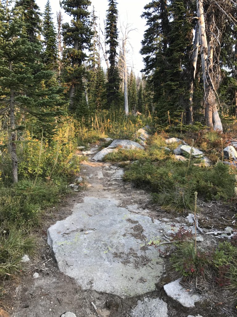
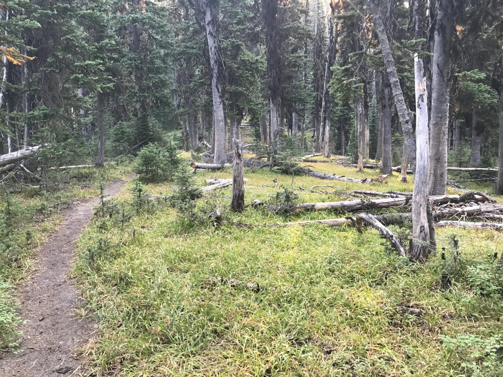
The trail starts on a wooden bridge, spanning a small but year-around trickle. Afterwards, the trail moves steadily uphill through a fairly open spruce forest. It soon switchbacks around impressive rock outcroppings, while continuing to climb towards the saddle where the Parker and Fisher ridges meet. Luckily, the trail levels off far below that saddle, crossing another small brook (the last reliable one ahead of the lake), and contours alongside Fisher Ridge. The views here are good, with the entirely-forested Russell Ridge and Russell Peak to the right (south) across the Trout Creek Canyon and the Pyramid Lake basin and an occasional peek at Pyramid Peak in back (west).
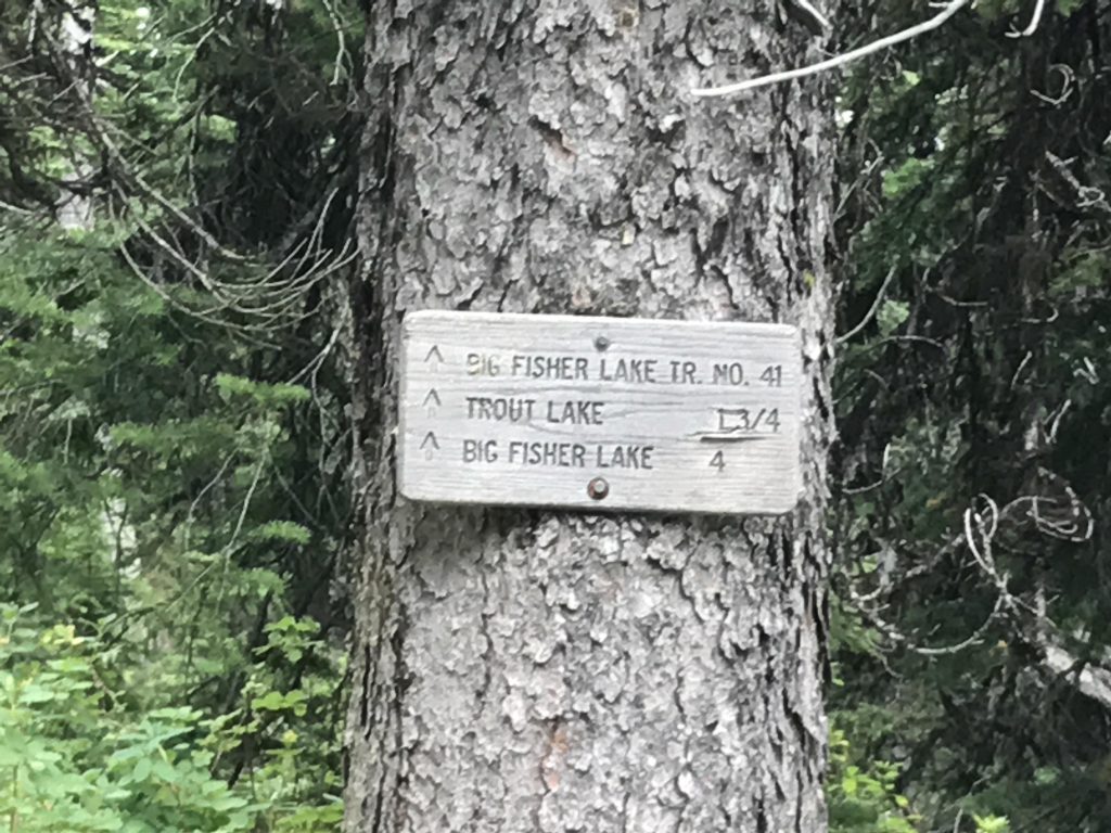
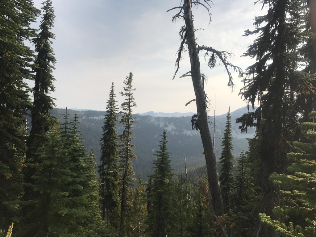
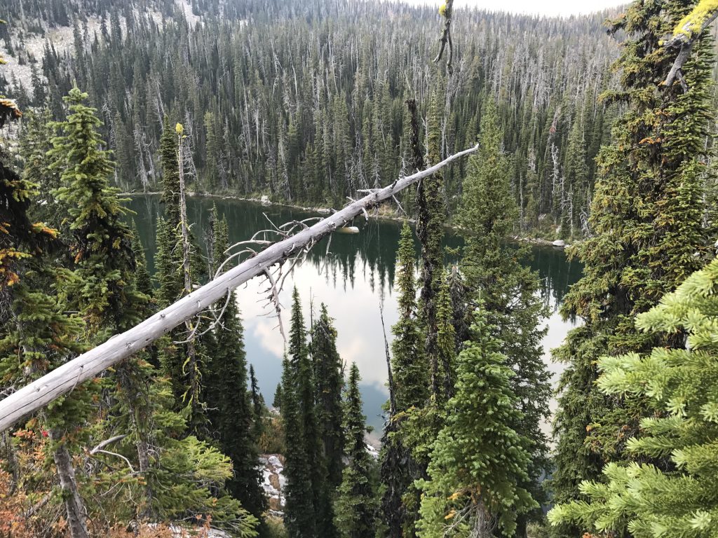
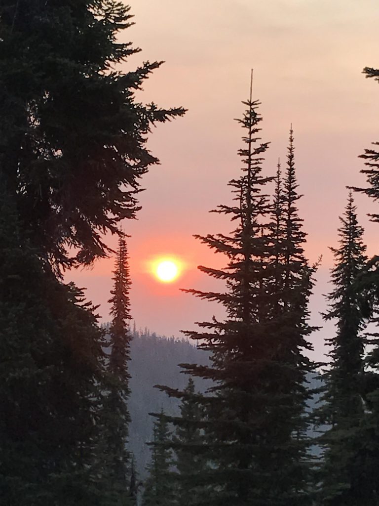
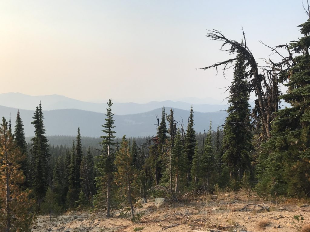
Just before the 1.5-mile mark, the trail follows a flank of Fisher Ridge northwards across some giant granite slabs with good views of the Trout Creek Canyon and into the Kootenai River Valley (unfortunately, wildfire smoke made the latter views impossible on the day we hiked). Soon afterwards, you’ll spot the solid granite headwall towering over Trout Lake, and the 200-plus-foot vertical descent to the lake commences.
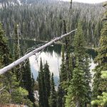
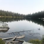
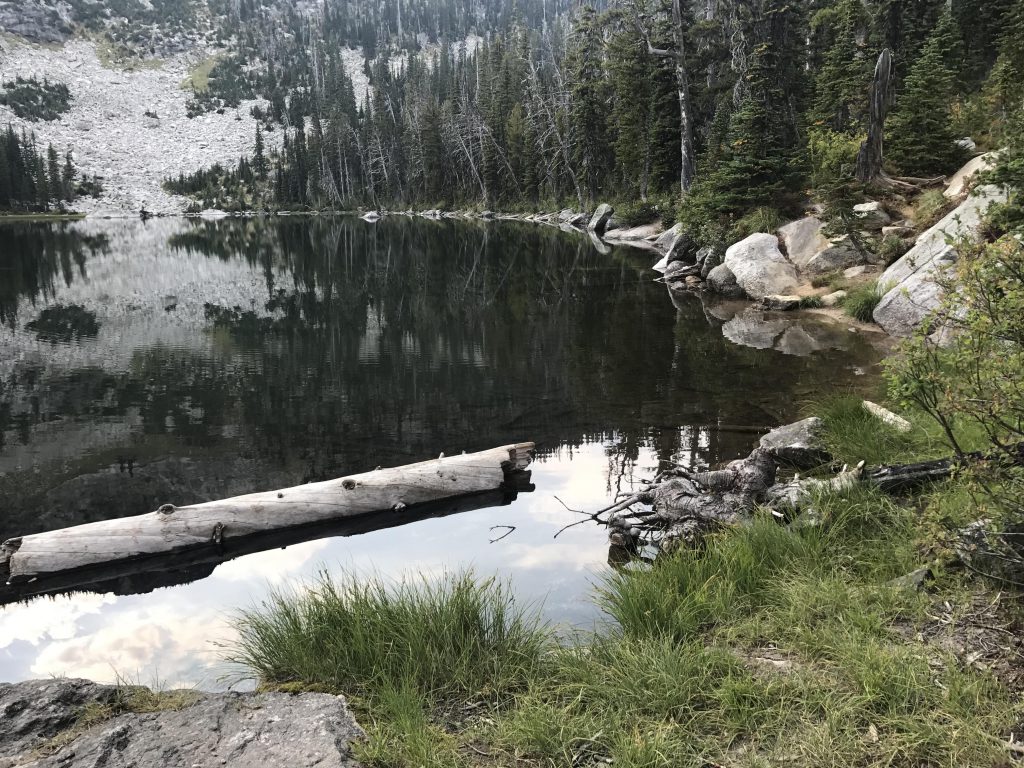
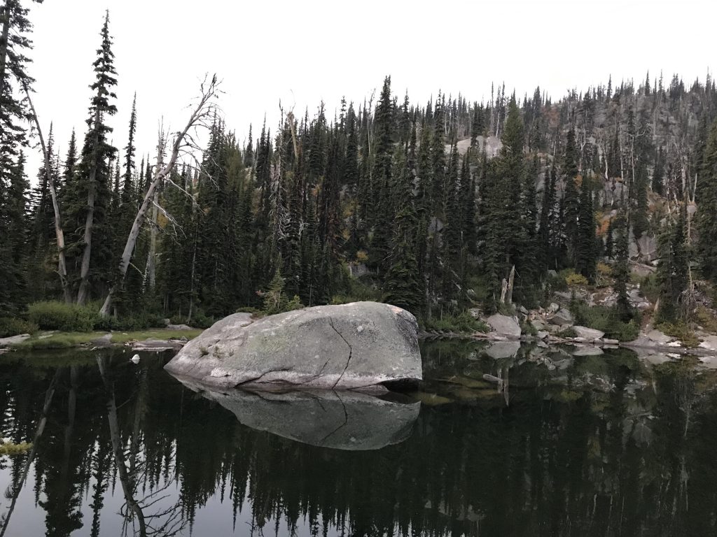
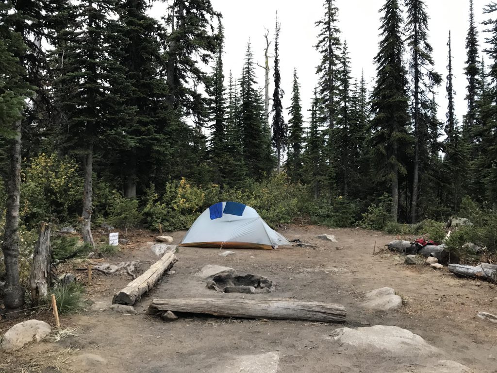
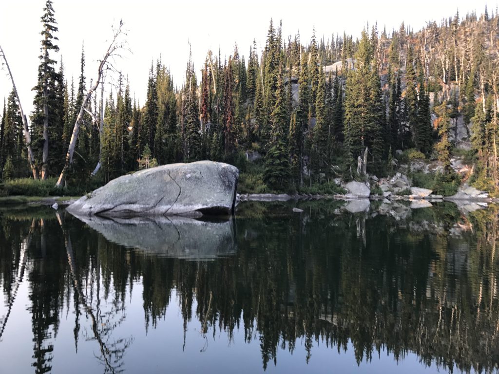
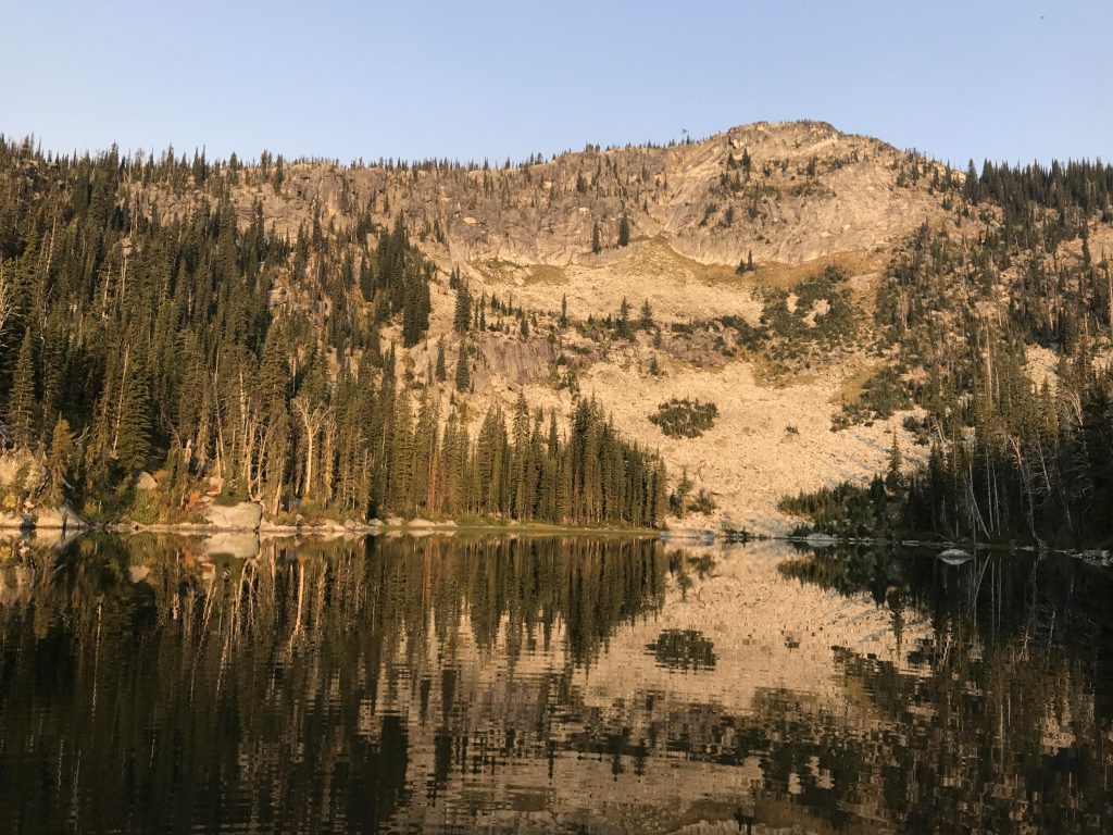
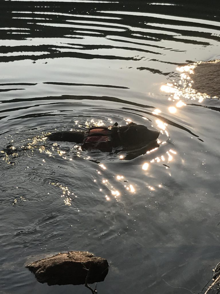
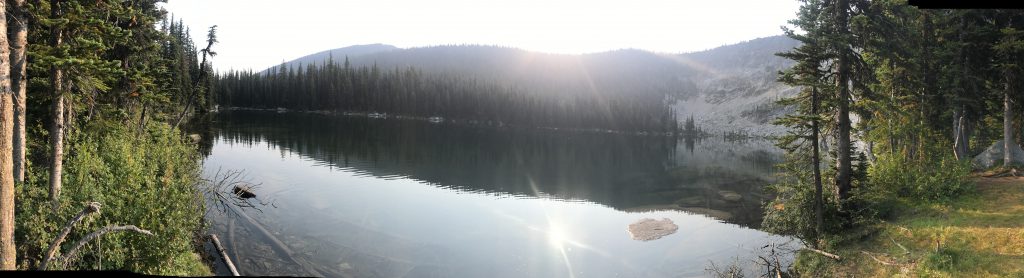
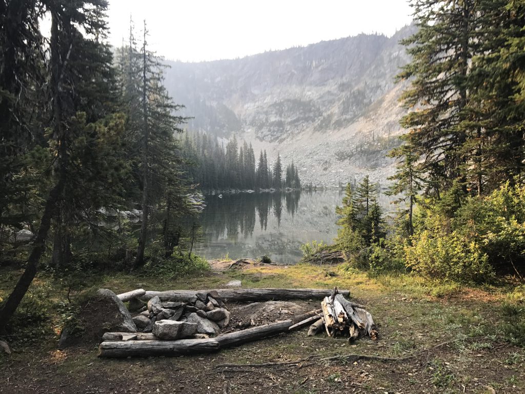
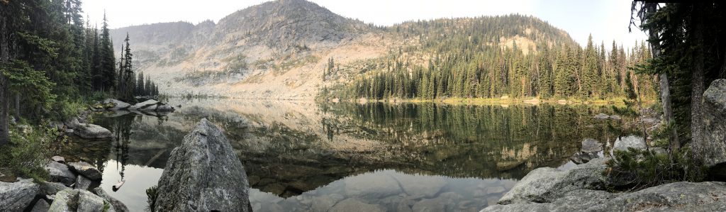
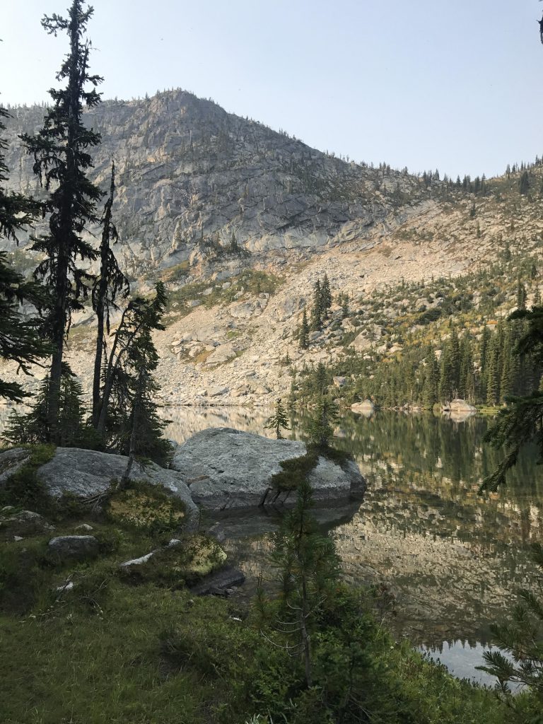
Trout Lake is an absolute jewel, cuddled in its cirque beneath the looming headwall. There are three recently-maintained campsite along the eastern side of the lake. In the southeast end of the lake, near the outlet, squats a gigantic boulder, an excellent platform for skinny-dipping in the ice-cold water. While camping at the lake, we heard repeated crashes in the water, as if someone threw logs into the lake. Curiosity drove us to investigate, being the only campers at the lake, and we found a hawk fishing the lake!
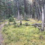
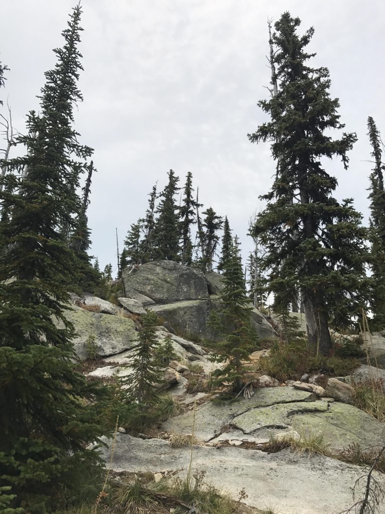
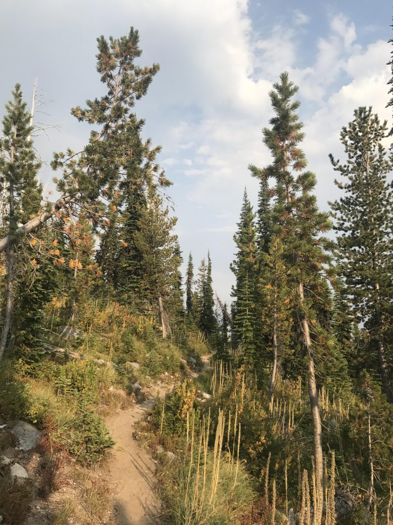
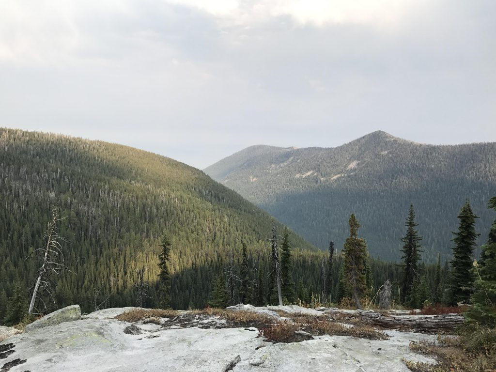
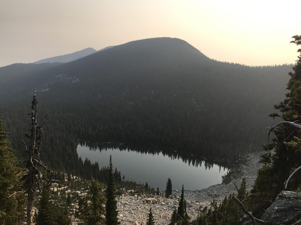
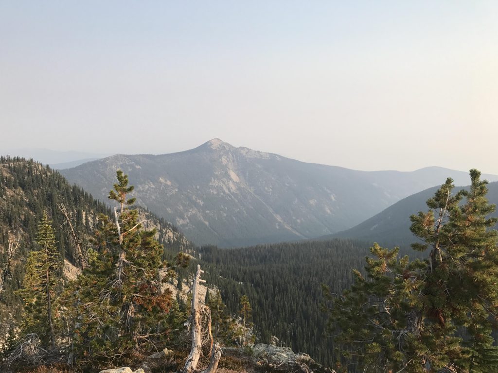
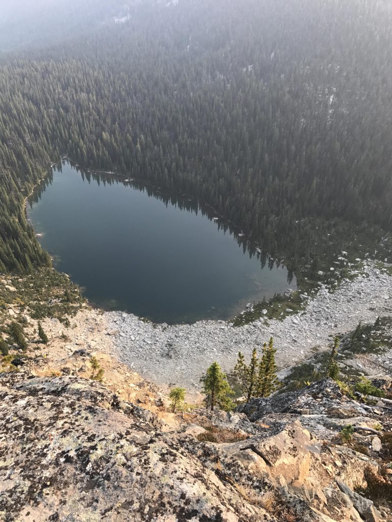
From the lake the trail ascends steadily, gaining Fisher Ridge at around the 2-mile mark. Views are spotty at first, but continue to get better as the trail follows the spine of the ridge closely, through beautiful alpine meadows, eased by a number of switchbacks. At just over 7,000 feet, the ridge provides good views into both the Trout Creek and Parker Creek drainages. The views of Long Mountain, 7445 Mountain, and, later, Parker Peak, are incredible. Shortly past the 3-mile mark the trail emerges onto a saddle near 7,400 feet overlooking Big Fisher Lake about 700 vertical feet below. The cirque huddles in the north side of the ridge, draining into Parker Creek.
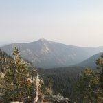
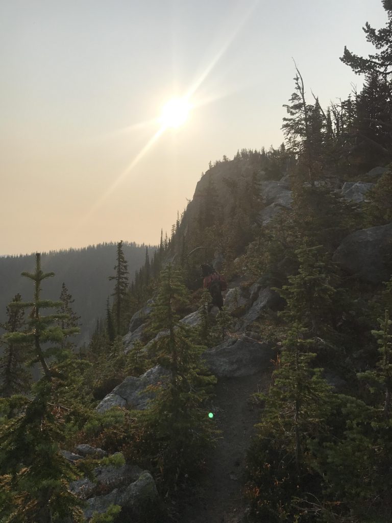
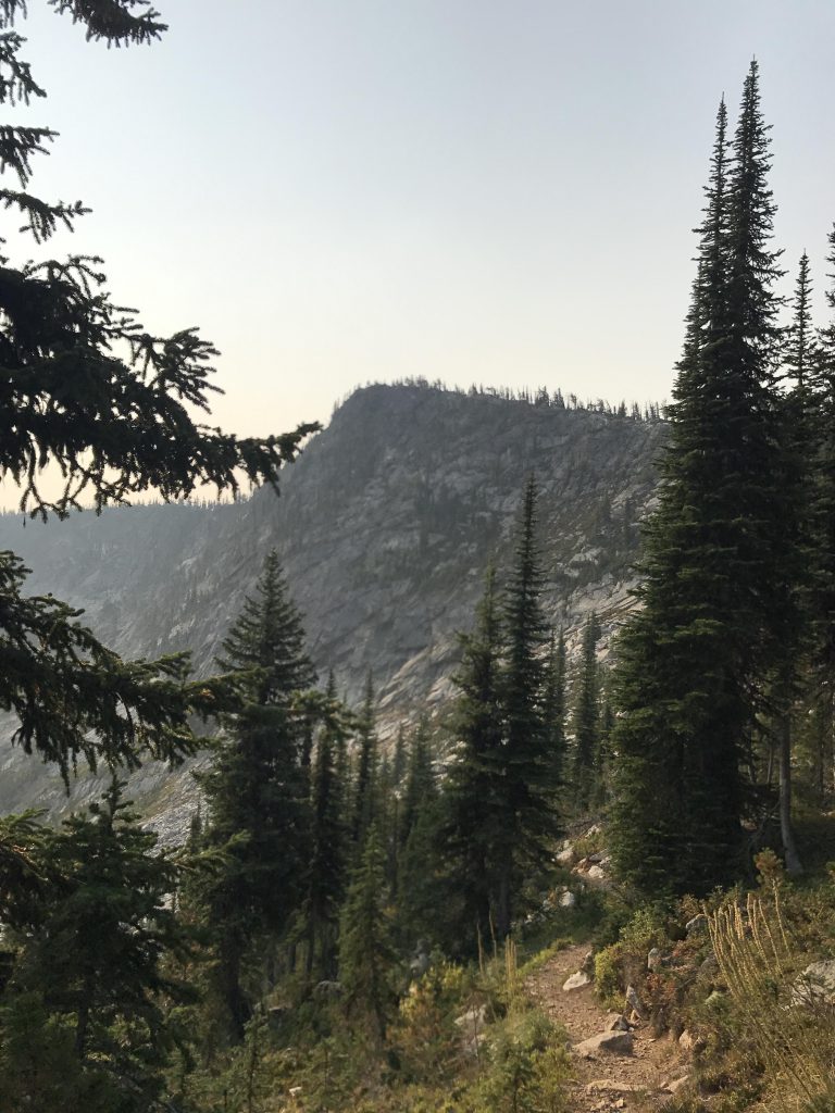
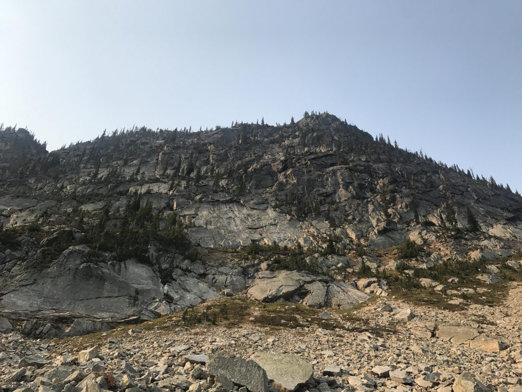
Before plunging down to the tree-ringed lake, take time for a short uphill scramble to an unnamed peak (we’ll call it Big Fisher Peak), overlooking Big Fisher Lake. There is an almost-trail heading up from the saddle (to the right), gaining about 100 vertical feet. It is a well-traveled route, in better condition than many “maintained” trails. Just keep away from the northern edge, which drops off precipitously. The views from the top are rewarding indeed, especially those of the lake and Parker Peak to the north, as well as along the Fisher Ridge (the highest point in the American Selkirks) and into the Kootenai River Valley. There is also a geocache hidden at the top.
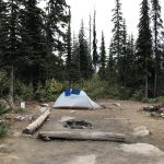
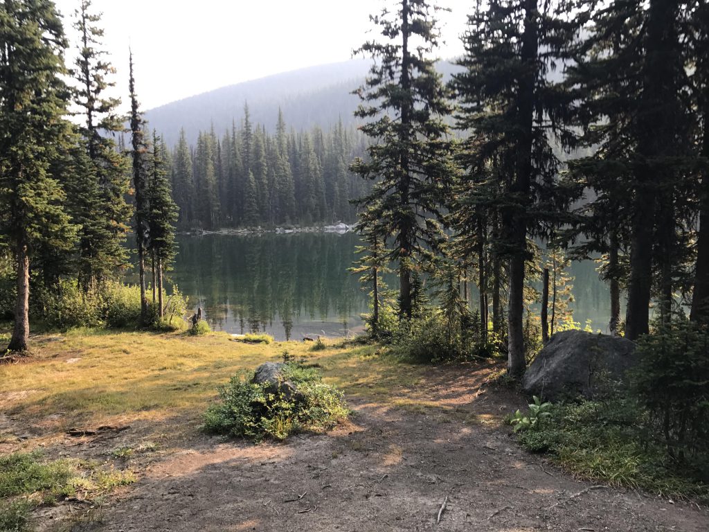
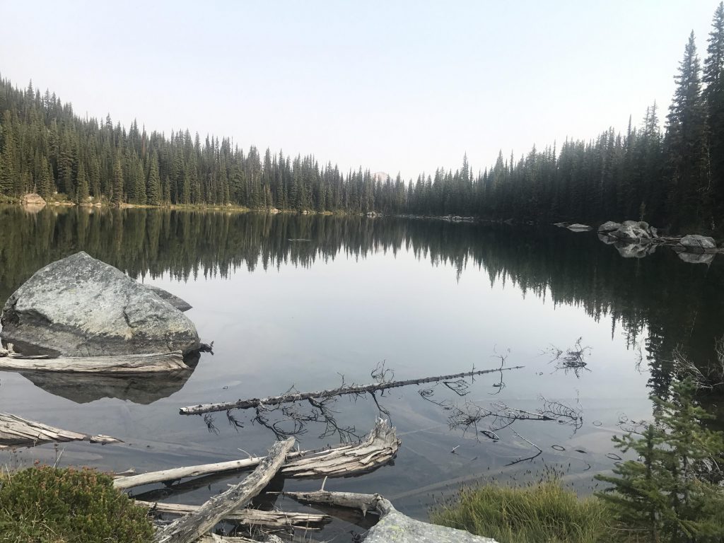
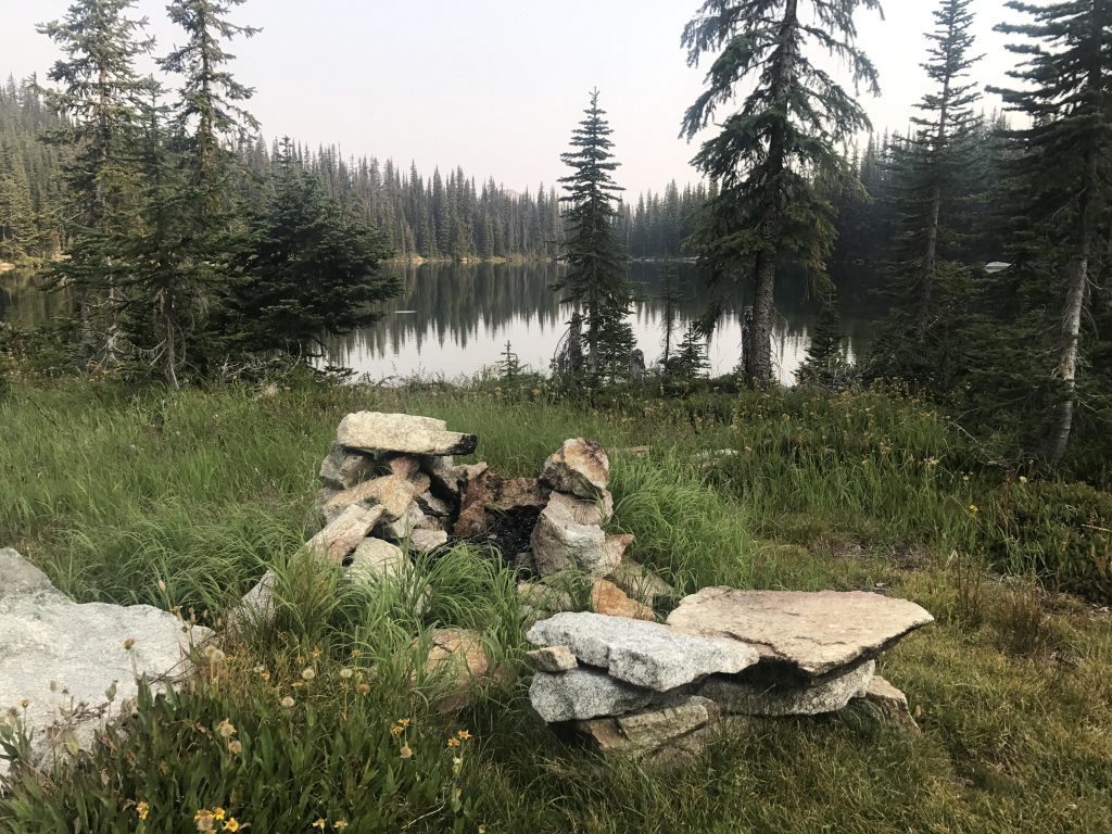
The descent to the lake switchbacks through boulder fields, rock outcroppings, and granite slabs. The trail then circumnavigates the lake, which is in fact surrounded by campsites, meaning you’ll probably find one here even if the ones on Trout Lake are all taken (none were occupied while we were there). The views of the Big Fisher headwall are particularly impressive from the eastern shore of the lake, while the southern end offers a wide-open site, sprawling beneath the headwall on a grassy meadow.
Alternate Routes
- Continue the scramble along Fisher Ridge to the high point, which is the highest point in the American Selkirks
Things to Consider
Not so great
NH, I’ve never attempted to reach 7709′ from Fisher Peak but it looks doable. Afterall, the same ridge line connects Fisher, 7709′ and Big Fisher Peak. There are two unnamed peaks between Fisher and 7709′ that are over 7600′.
I ran out of time (and energy) but standing in the saddle before the final ascent to Fisher Peak sure is tempting to head south toward 7709′.
The Fisher Peak trail takes a long but mostly gentle grade in crossing over Farnham Ridge to reach its final destination of Fisher Peak. Trailhead parking is right along The Trout Creek Road. As usual, you will discover The ruins of a fire lookout on Fisher Peak.
The trail crosses through an old clear cut in the Trout Creek drainage.
Thanks for the great descriptions and photos of the Selkirk trails. I recognize many of the views and even some of the individual rocks in the trails.
We might check out that trail this summer, time permitting. We have our sights set on the Montana Cabinets, though, assuming the wildfires won’t be as bad a last year…
NaughtyHiker’s thorough description and excellent photos tell you everything you need to know before embarking on the Trout Lake / Big Fisher Lake Trail.
But wait, there’s more. The saddle overlooking Big Fisher Lake offers the best access to Peak 7709′ – the highest point in the American Selkirk Mountains. This “peak” is actually a fairly nondescript tree-covered ridge that belies its true elevation. Nearby peaks including Parker, Smith, Pyramid, Fisher and a number of unnamed summits certainly appear more distinctive than the flat ridge of 7709.
From the saddle looking into Big Fisher Lake, contour around the South flank of the peak that NaughtyHiker refers to as Big Fisher Peak. Drop into the saddle at 7239′ and continue the fairly steep climb to reach the flat ridge of 7709′. The saddle at 7239′ is magical and invites camping except for the lack of water.
Even standing on the ridge of 7709′, it’s true summit is deceptive. But pick a spot, any spot will do, and enjoy the view looking down on the surrounding mountain tops.
Thanks again NaughtyHiker for your excellent descriptions of the outstanding trail system in this corner of the Selkirks.
Great info! We haven’t done the Fisher Peak trail yet, but I believe you could access that unnamed highpoint from that trail as well.
That looks like a great hike!
Yes, one of the best in the Selkirks and no bugs this time of year