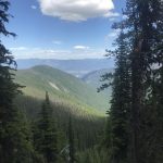
Triangulation Smith

Perhaps annexed by Canada, Triangulation Smith is the last and lowest “peak” of the Smith ridge. A pack trail, dating back to the days when Triangulation Smith featured a fire lookout tower, meanders along the ridge, plows through extensive patches of rhododendron and beargrass and skirts a cliff overlooking Canyon Lake.
Location
  • Selkirk Mountains
Rating
2.9 out of 5
Difficulty
Moderate (some uphill hiking)
Distance
8.7 miles
Duration
3:12 hours moving time (Hiking)
Elevation Gain
1,510 feet
High Point
6,408 feet (Ridge north of Canyon Lake)
Low Point
5,566 feet (Saddle below Smith Mountain)
Features
  • Mountain
  • Lake
  • Meadow
  • Outing Type
  • Daytrip
  • Trail Type
  • Out-and-back
  • Trailbed
    Packed dirt
    Trail#
    17, 18
    Water
  • None
  • Camping
    • Triangulation Smith Mountain, but it is buggy and dry.
    Conditions
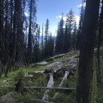
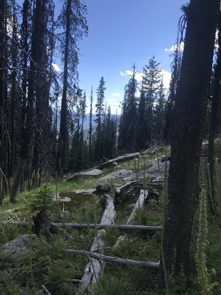
    • Good. Downfall had recently been removed, but the trail is narrow and many times almost swallowed by grasses.
    Administration
  • Kaniksu National Forest
  • Status
  • Unprotected
  • Maps
    USGS
  • Shorty Peak
  • Smith Falls
  • Fees & Permits
  • None required
  • ()
    Open To
  • Hikers
  • Dogs
  • Horses
  • Mountain Bikers
  • ()
    Directions
  • From Bonners Ferry head north on US-95 for about 15 miles, then take Highway 1 north for another 2 miles. Turn left onto Copeland Hill Road and head west across the Kootenai valley, about 2 miles. Bear right when the road merges with Westside Road #417 and continue northwest for 9 miles. The road will eventually turn into FR #281. Make sure to stay left at the switchback on the blacktopped road, which remains blacktopped most of the way, but expect a few potholes and some buckling. Turn left onto FR #2443 and head uphill for 6.5 miles. This is a dirt road and a high-clearance vehicle is recommended due to rutting, rocks and water bars. There are a few forks along the way; just stay on the road that is in better condition. About 1.3 miles from the trailhead the roads are about the same–take a right. The road ends at a gate and there is parking for a few cars and a small turnaround area.
  • Season
    June to October
    Resources
      Date
      July 22, 2017

      The trail starts out at the same place as the one to Cutoff Peak. In fact, the first mile to Smith Ridge (trail #17) is shared between the trails. At the junction with trail #18, where the Cutoff Peak trail heads right (south), the Triangulation Smith trail heads left (north) through the woods and uphill. The sign indicates 5 miles to Triangulation Smith, but the site of the former lookout tower is only 3.5 miles away.

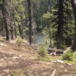
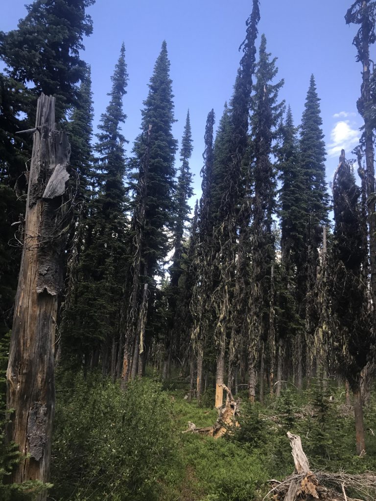
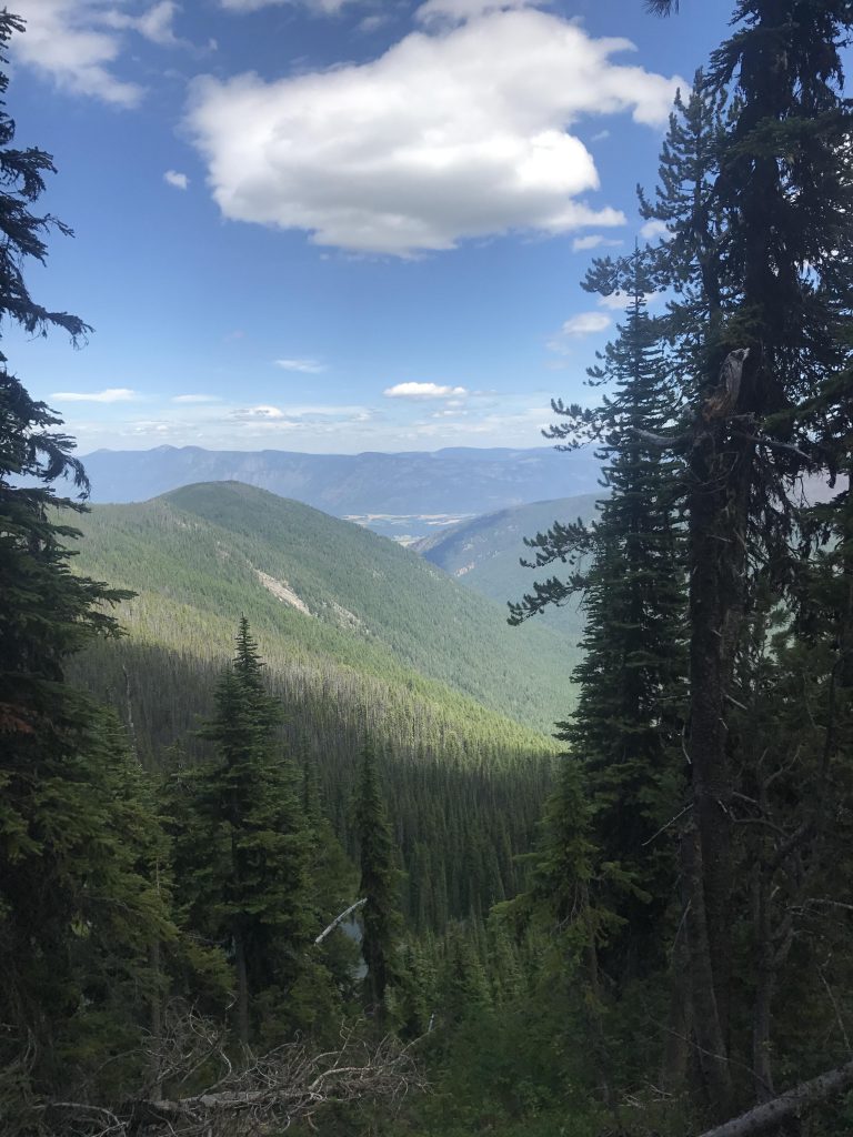
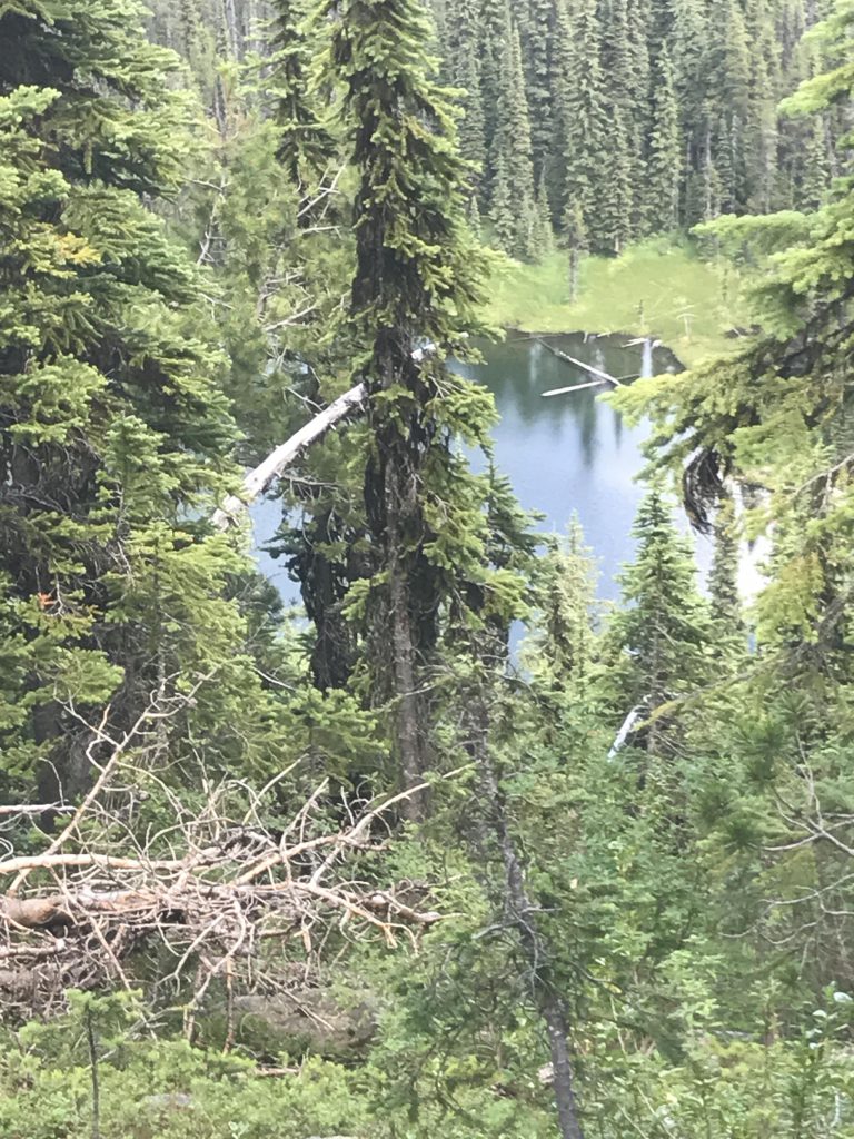
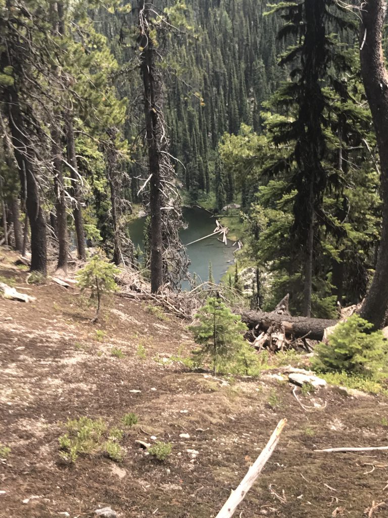
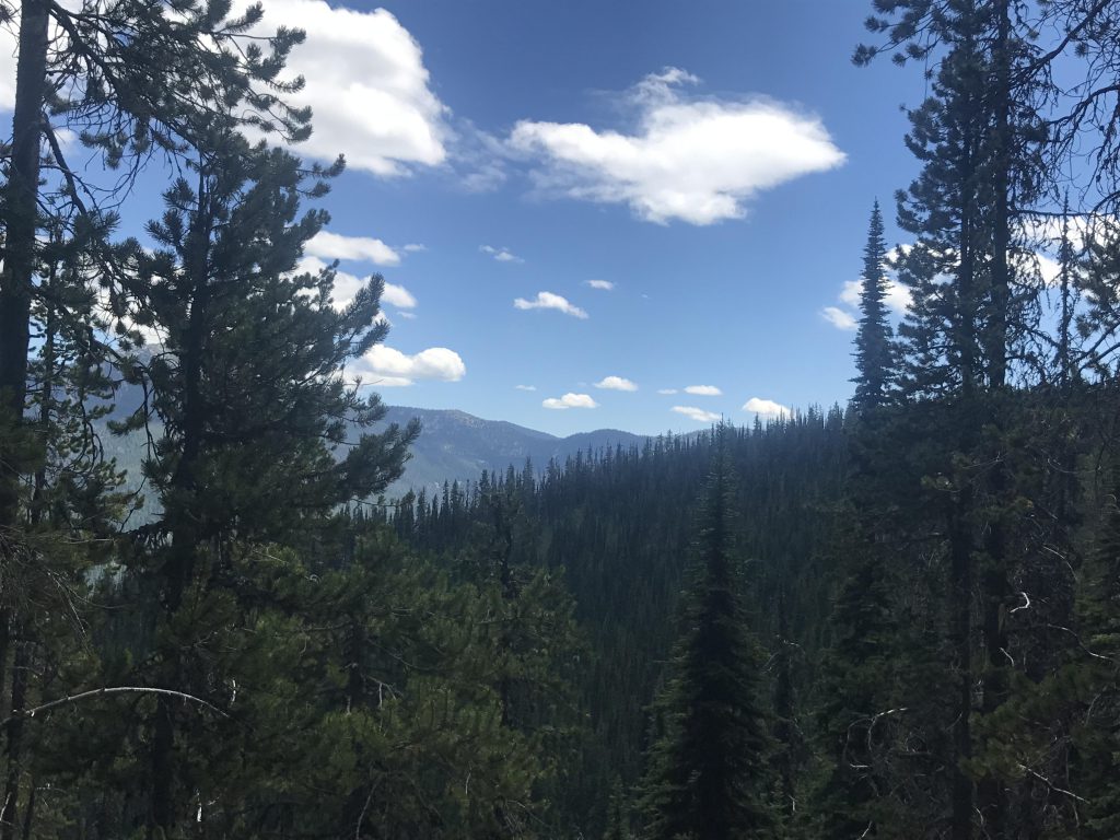
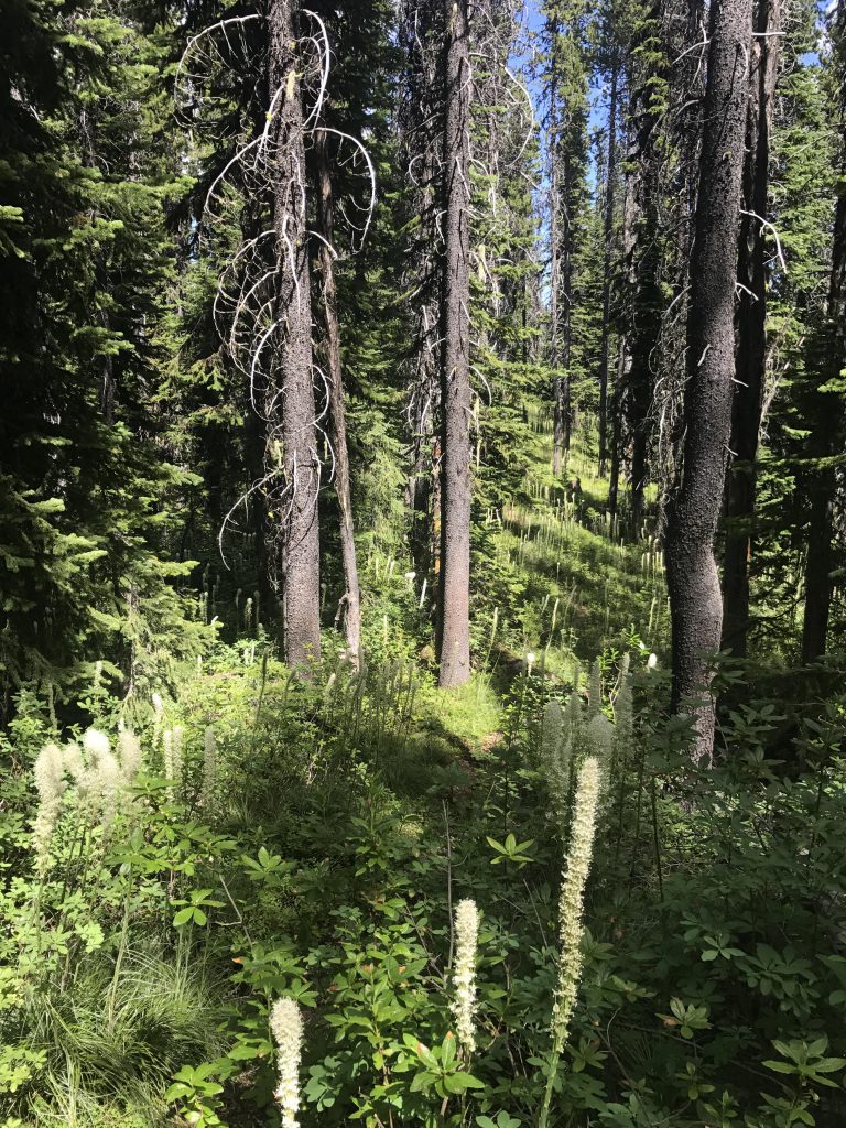
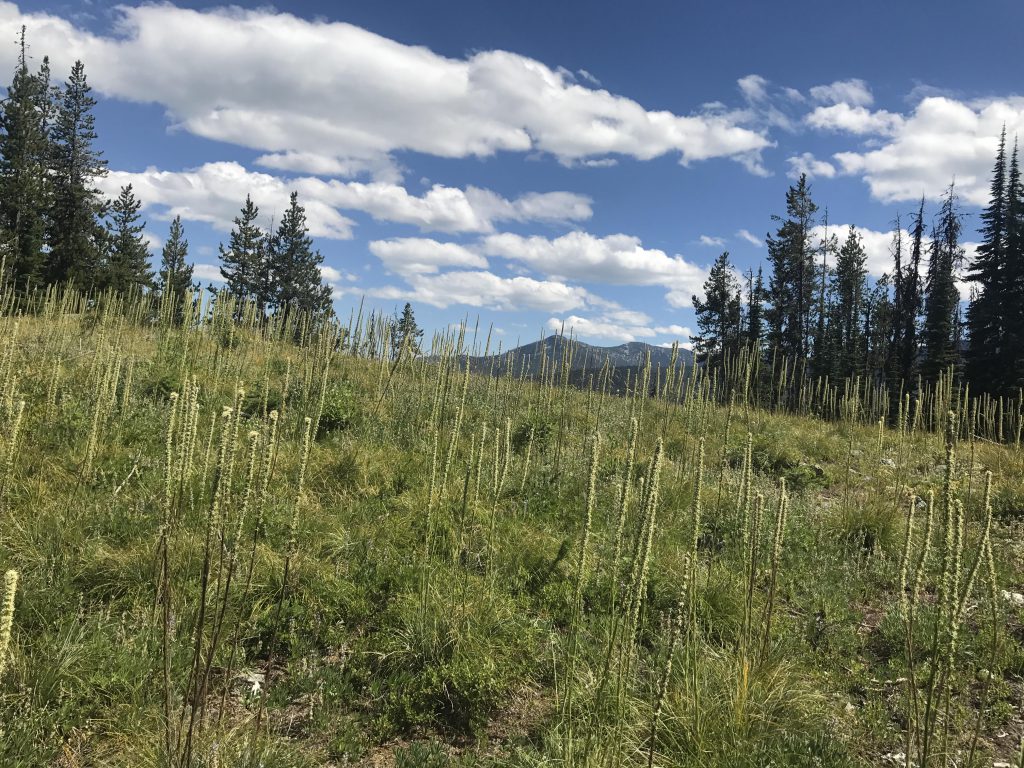
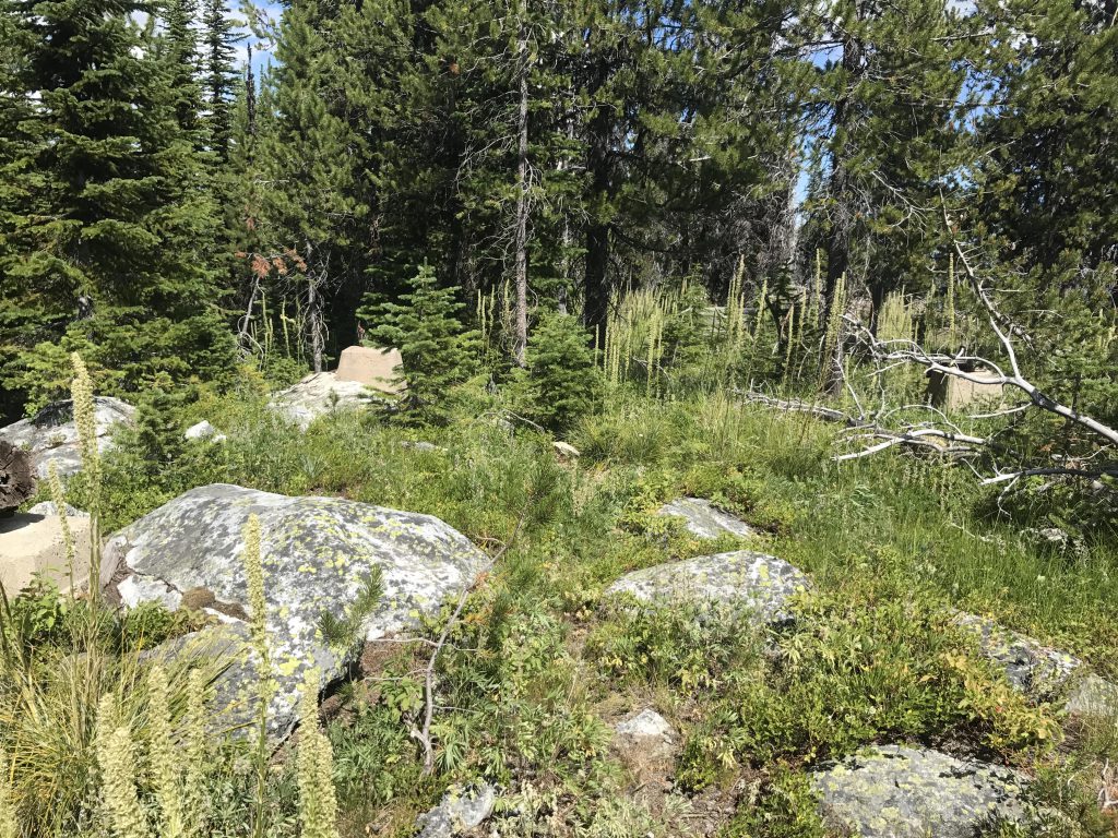
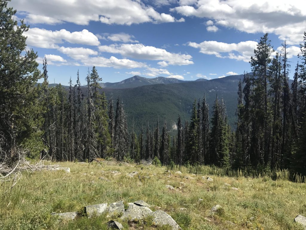
      It is immediately evident that this trail receives substantially less traffic than Cutoff Peak, it being a rather narrow single-track that is easily swallowed by large swathes of beargrass. At first the trail heads uphill to gain the ridge, then drops down the other side and skirts the Canyon Lake cliff. You’ll have to take a few steps off-trail to view the lake below; the best options are at the three-quarter mile mark from the trail junction and again at the one-mile mark, where there is a sizable bare section in the woods with decent views of the lake and the Parker Ridge to the east.

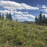
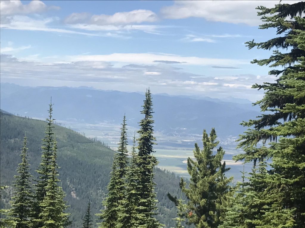
      Immediately afterwards the trail climbs once again through the woods to the highpoint, then drops lower for about 1.5 miles to a saddle below Triangulation Smith. Then it’s just a short uphill stretch to the peak. That “peak”, more like an overgrown knoll, offers only limited views, the trees having reclaimed much of the site of the former lookout tower. It’s mostly grassy, and the mosquitoes are beastly. As a matter of fact, the mosquitoes are quite a pain throughout this hike, because much of the trail is slightly along the eastern flank (the Long Canyon side) and the breeze rises up from the Smith Creek side (the western flank).

      We didn’t see any obligatory carcasses, nor grouses nor privies. Perhaps we were simply too tired, this being the last stretch of a 2-day, 45-mile hike. And we should mention water. Just 2 liters for both the Cutoff Peak and Triangulation Smith trails isn’t quite enough. Thank goodness for the 5 gallon water tank we keep in the car!

      One last note: Don’t confuse Smith Mountain with Smith Peak. Both are part of the Smith Range, Smith Peak being the highest point and Triangulation Smith the lowest, most northerly knob. And both may be in Canada, according to Verizon, which charges international texting and calling rates on Triangulation Smith!

      Alternate Routes

      • A trail to Cutoff Peak, also a former fire lookout, starts at the same trailhead

      Things to Consider

        Not so great

          The first section of trail is uphill into the woods
          The ridge in the foreground is Smith Ridge with Triangulation Smith at its end.
          Canyon Lake, taken from south side
          Canyon Lake, taken from north side
          View east across the forest
          Many times the trail is swallowed by beargrass
          The beargrass blooms are spent at these lower elevations
          View of the Kootenai River Valley
          You’ll find many beargrass meadows on this trip
          The remains of the lookout tower–just the footings
          View from Triangulation Smith towards Parker Ridge
          View southeast
          There were many dead trees, likely due to drought up on the ridge. We could’ve used some extra water, too!
          In Canada???

          4 Comments

          1. julianne0919 says:

            Amazing views!!! Fab pics ๐Ÿ˜„๐Ÿ˜„๐Ÿ˜„

          2. montucky says:

            Excellent post!

            1. naughtyhiker says:

              Thanks! It’s not quite as impressive as the Cutoff Peak hike but a pretty ridge walk nonetheless. Should’ve gone a couple weeks earlier for the beargrass blooms though โ€ฆ

          Comments are closed.