- Selkirk Mountains
- Trailhead
- There is a spot up on the ridge, but it is dry
- Good; a few logs to climb over
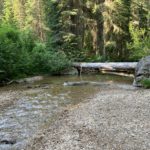
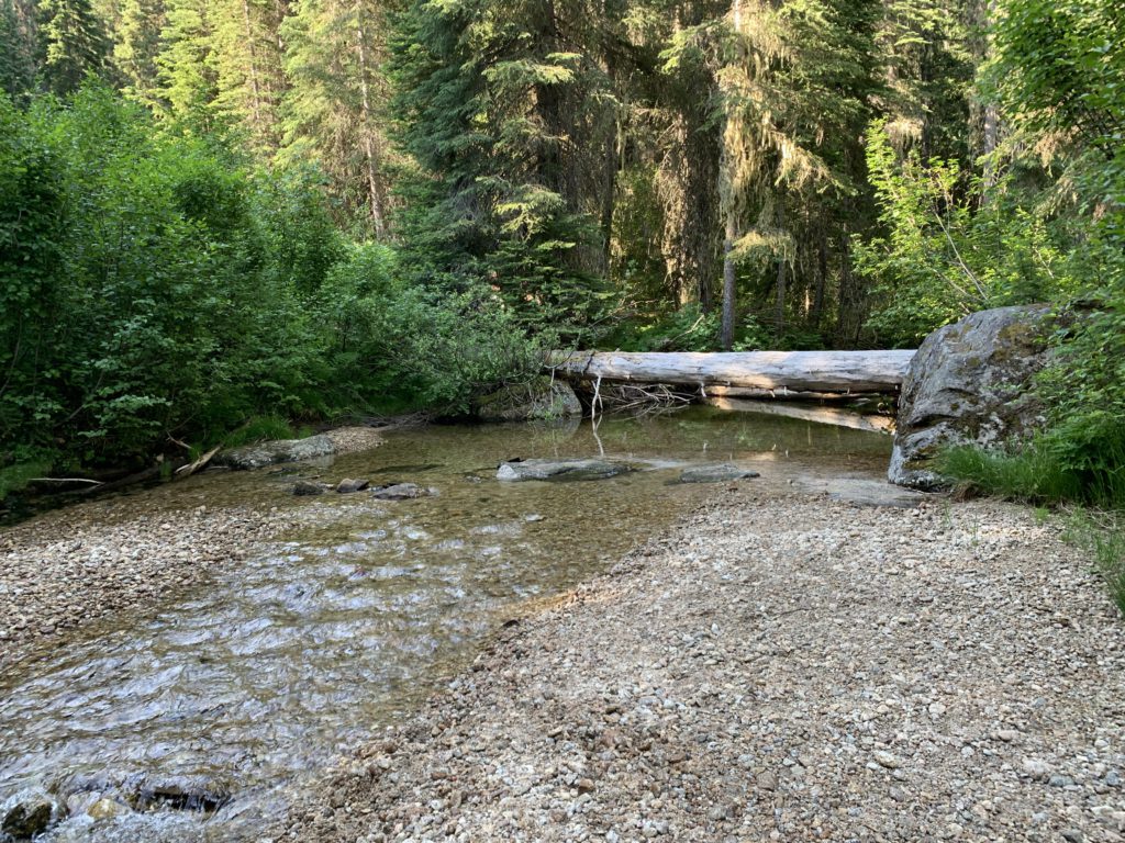
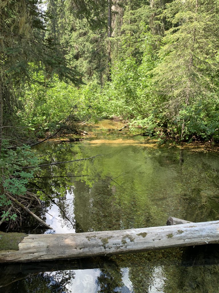
From the parking lot, take the old forest road past the helipad to Trout Creek. A wide log ensures dry transit, or, when the water level is low, make use of the stepping stones. The trail no longer follows the route shown on older USGS maps. Past the creek, the trail moves left, not right, to a trail kiosk and a downed sign indicating 2.5 miles to Russell Peak and 2.75 miles to Russell Ridge Trail #92. The trail turns east and heads downhill, the only downhill section at all. It parallels the creek while meandering through a moss-overgrown and boulder-strewn hemlock-and-cedar forest.
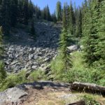
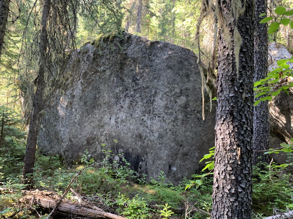
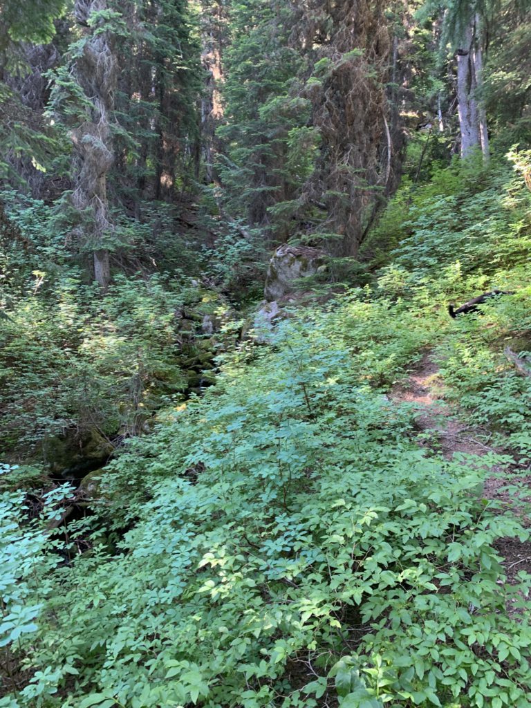
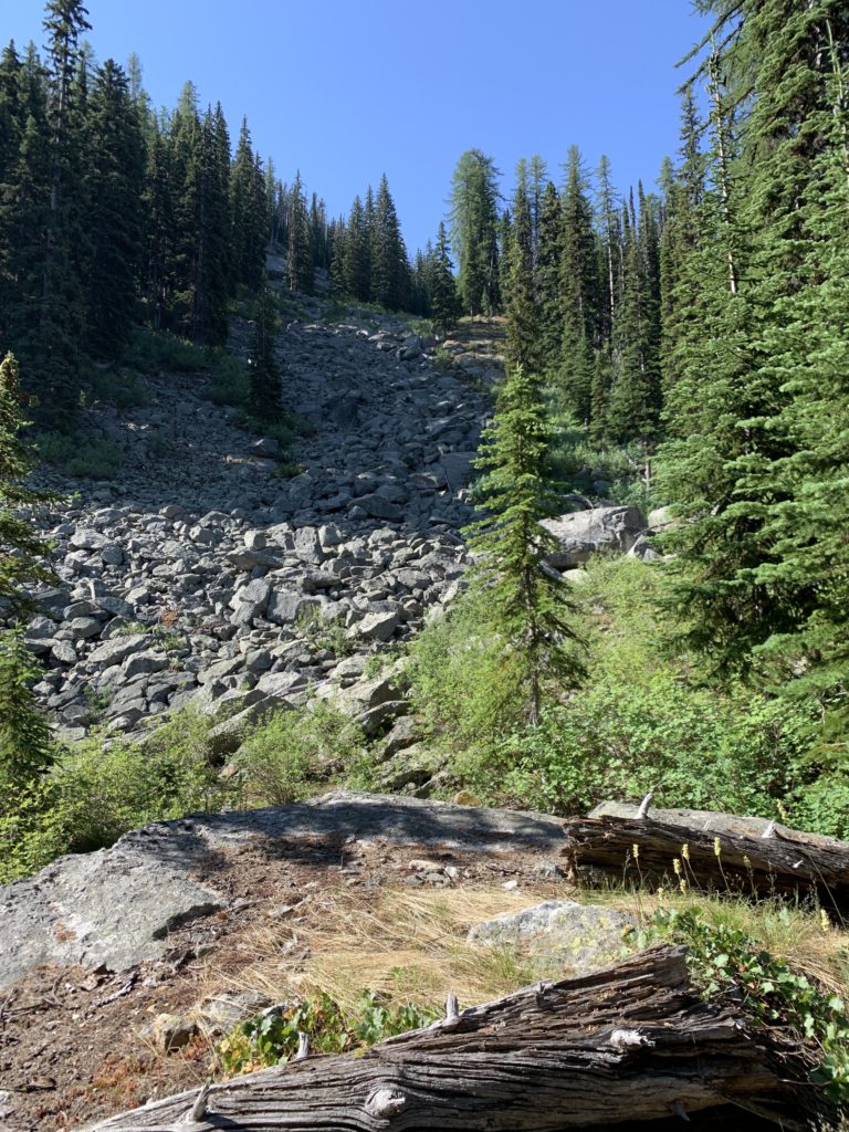
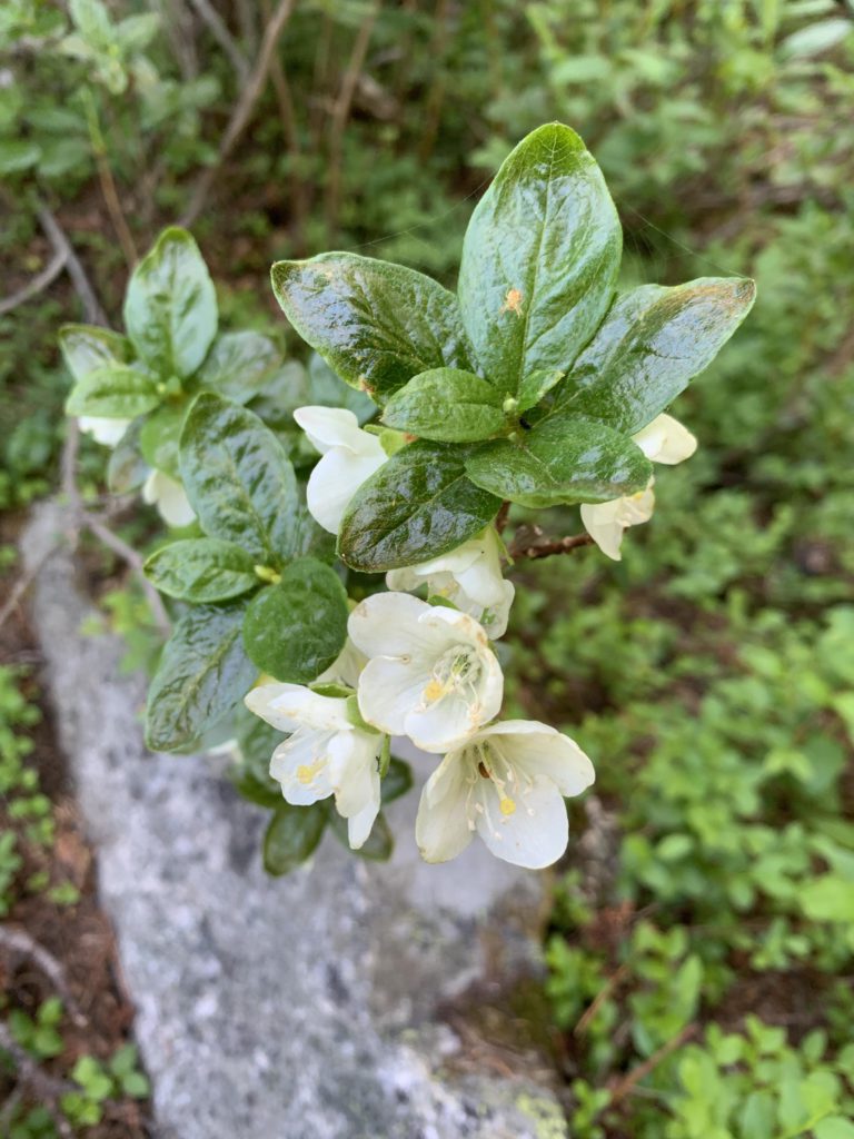
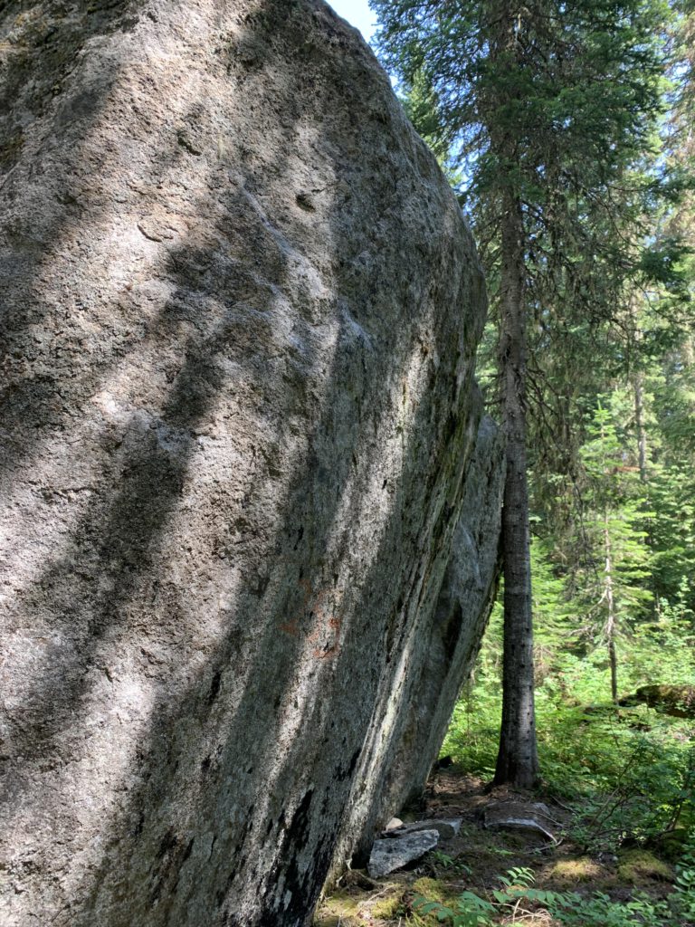
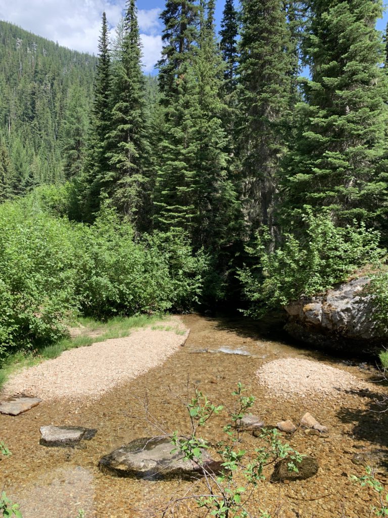
Not even half a mile into the hike, the trail starts to climb into the draw of an unnamed brook, soon switch-backing fiercely and approaching the brook, which carried a trickle of water in early July, around the 1-mile mark. At the 1.5-mile mark, the trail crosses the brook, which at this point was nearly dry. Climbing higher, the trail approaches the bottom end of an extensive talus slope, skirts it and once again enters the draw. That section of the brook is quite shady and if you listen carefully (and are early enough in the season) you may hear the gurgling of the brook. About 1.75 miles into the hike, the trail leaves the draw for the last time and switchbacks uphill, kisses the top edge of aforementioned talus slope, then reaches a saddle below Russell Peak at the 2.25-mile mark.
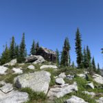
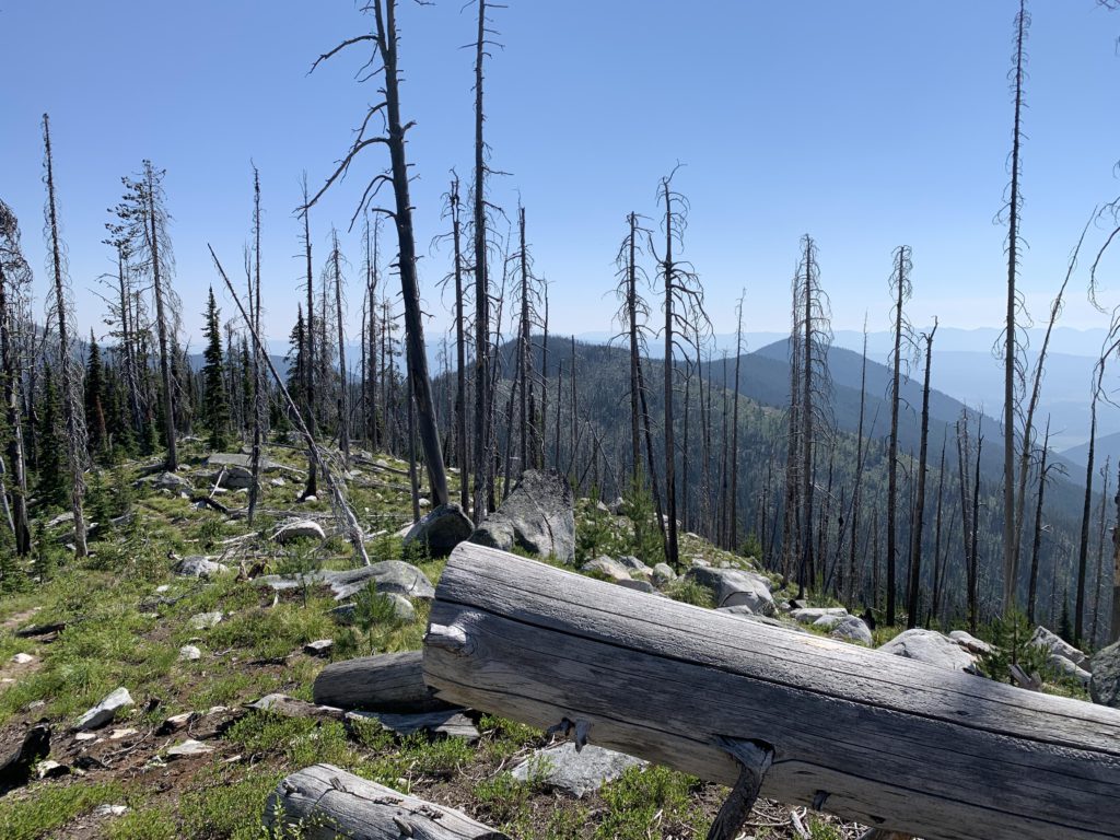
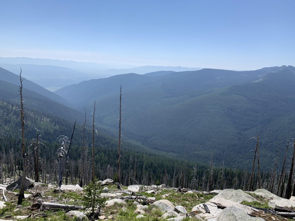
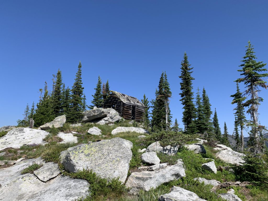
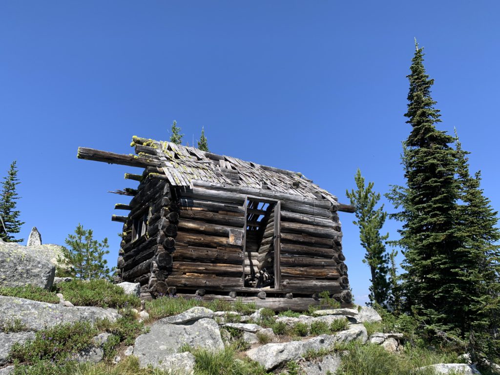
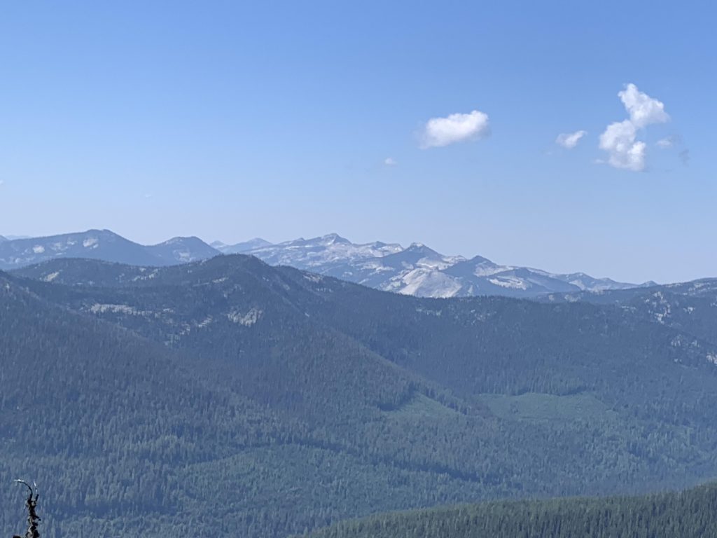
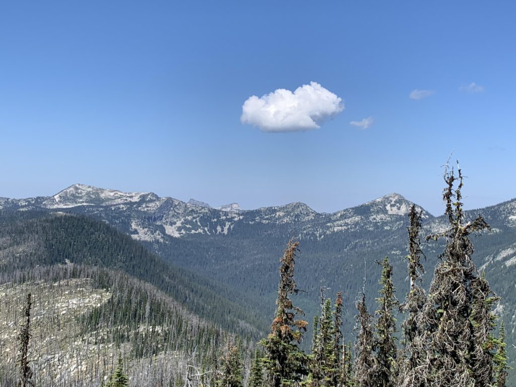
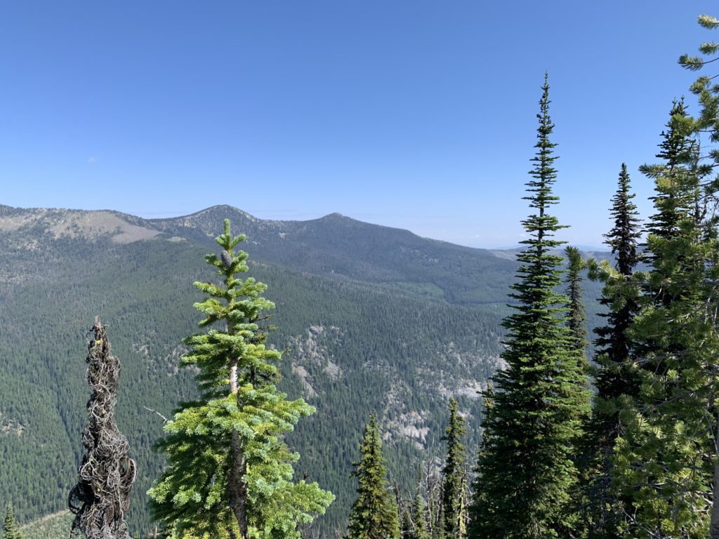
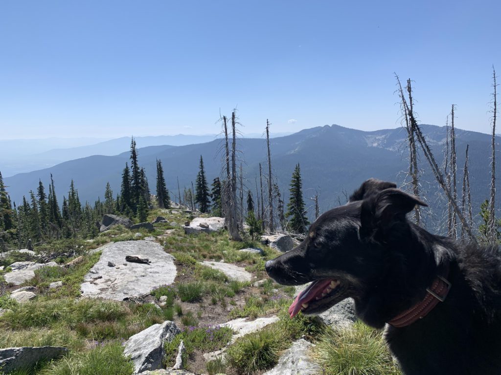
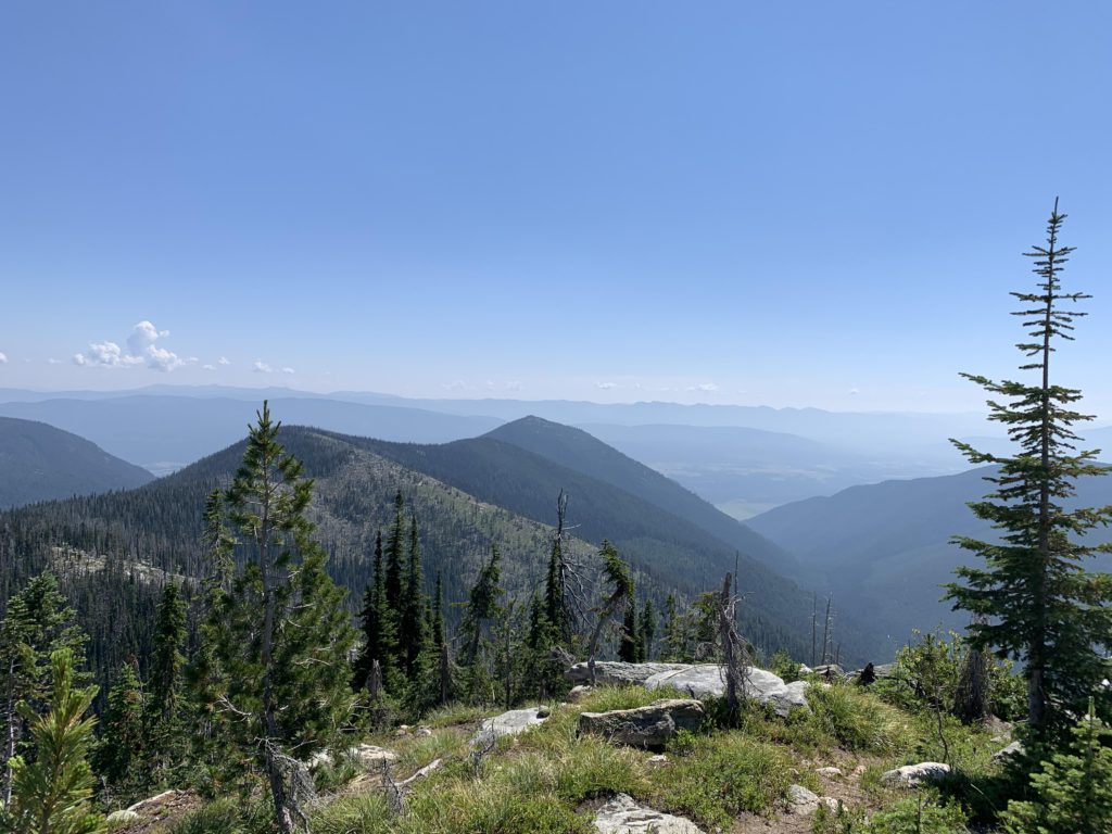
Old USGS maps show the Russell Ridge trail heading east from the saddle. There is no vestige of that trail left. Instead, head south into the Ball Creek drainage and you should meet that trail a couple hundred yards downhill, marked #92, a project for another day (trail #12 continues all the way to Ball Creek). Instead, turn sharply right and head west atop the ridge to get to Russell Peak. The Ball side is mostly cleared, either by clear-cut or wildfire, enabling grand views, filtered by numerous snags. The switchbacks are mostly done now, with the trail following the ridge faithfully. It’s not quite half a mile to the top, where a dilapidated log cabin awaits. There was a lookout tower once, too, but it is long gone. Remaining are fabulous views, be it far to the north and Fisher Peak, the Selkirk Crest to the west (including the Myrtle Lake basin) or the Cascade Ridge and Burton Peak to the south (although you won’t be able to see the lookout on that peak).
Alternate Routes
- You can also access this trail from the Ball Creek side, roads 432 and 2276
Things to Consider
Not so great