- Selkirk Mountains
- As the trail approaches Long Canyon Creek the first time; immediately before and after the first crossing of Long Canyon Creek; shortly after the second crossing; at the crossing of the tributary draining Smith Lake; some distance past the end of trail 16; Long Mountain Lake; Parker Lake. There are also numerous spots along Parker Ridge, such as Long Mountain Lake fork, the saddle after 7445 Mountain, above Parker Lake, and the saddle on the north side of Parker Peak, to name a few (all of these are dry).
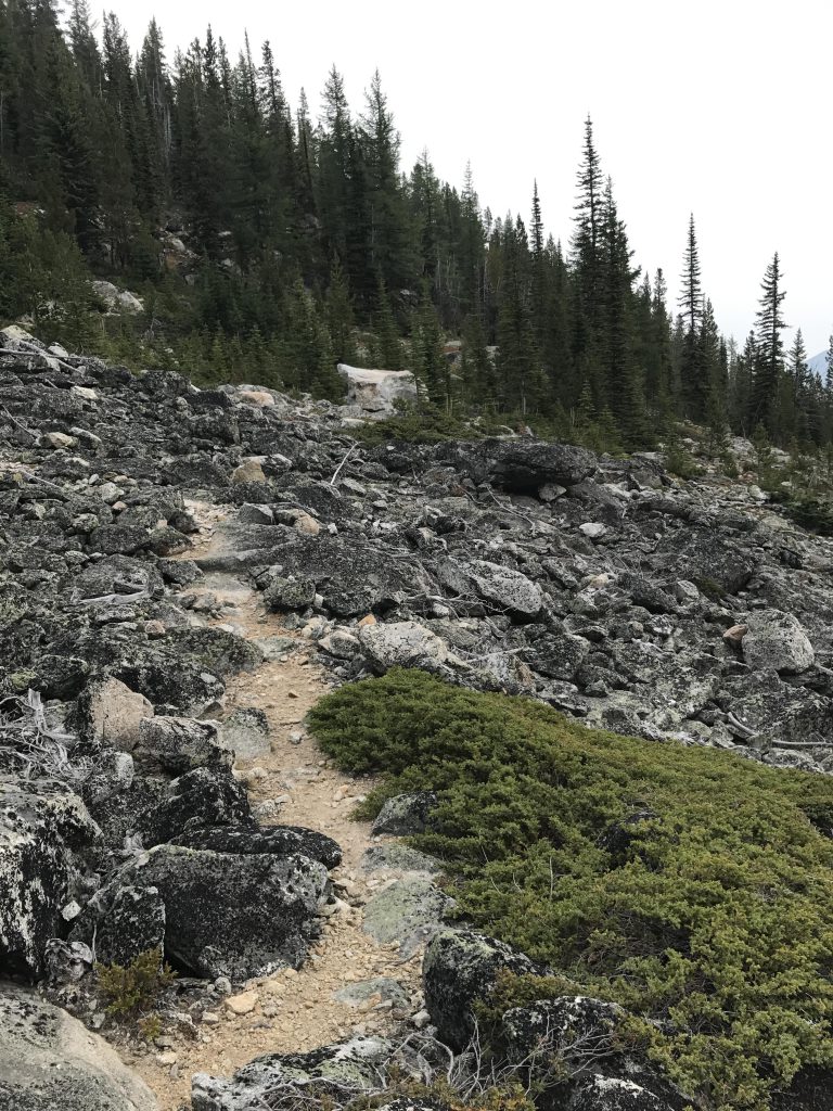
- Good. A few snags to climb here and there and tall grasses/shrubs along the last bit of descent from Parker Ridge. The trail surface is powdery in many places from frequent equestrian use.
The Scribe made grand plans for an anniversary hike this year. To celebrate his 5-0 and my 5.0 he planned a 5-day 100-mile loop through the Mallard-Larkins region that got me salivating all year long. Who wouldn’t? He promised me squirrels with heads bigger than mine!
And then, less than a month before our trip, the Buck Fire happened, and with it came trail closures, including the Snow Peak trail. He scrambled for alternatives. You see, our daily range is around 25 miles and there just aren’t very many trails in the inland northwest that exceed that. Thus, mostly, we dayhike. But the occasion called for something a bit lengthier and the Scribe finally found a fitting alternative in the only unlogged drainages in the entire American Selkirks: Long Canyon and Parker Creek, coupled with a sprinkling of alpine lakes in the Trout Creek drainage. The total planned mileage got slashed to 60, total time to 3 days, and elevation gain got jacked up to over 13,000 feet. Instead of oversized squirrels the Scribe promised grizzlies. I was on fire!
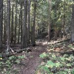
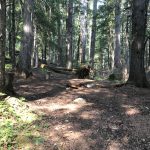
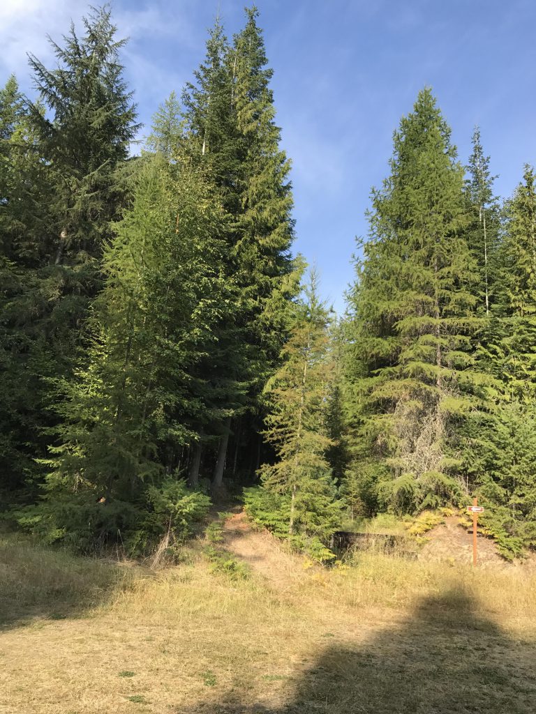
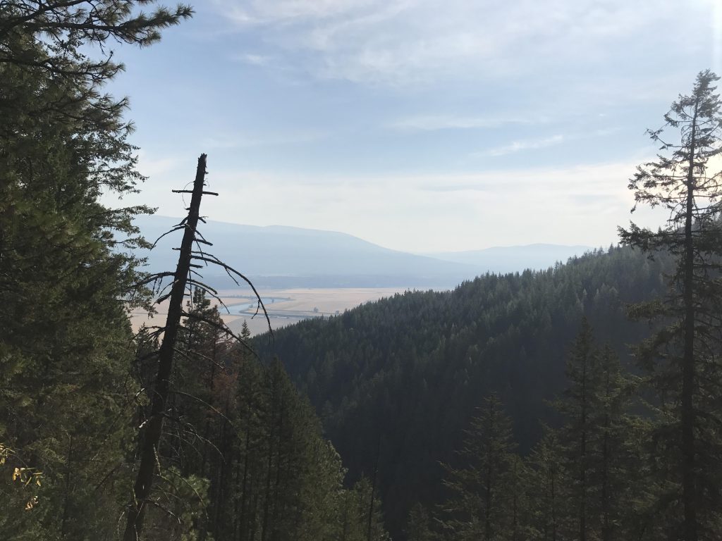
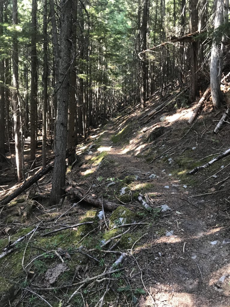
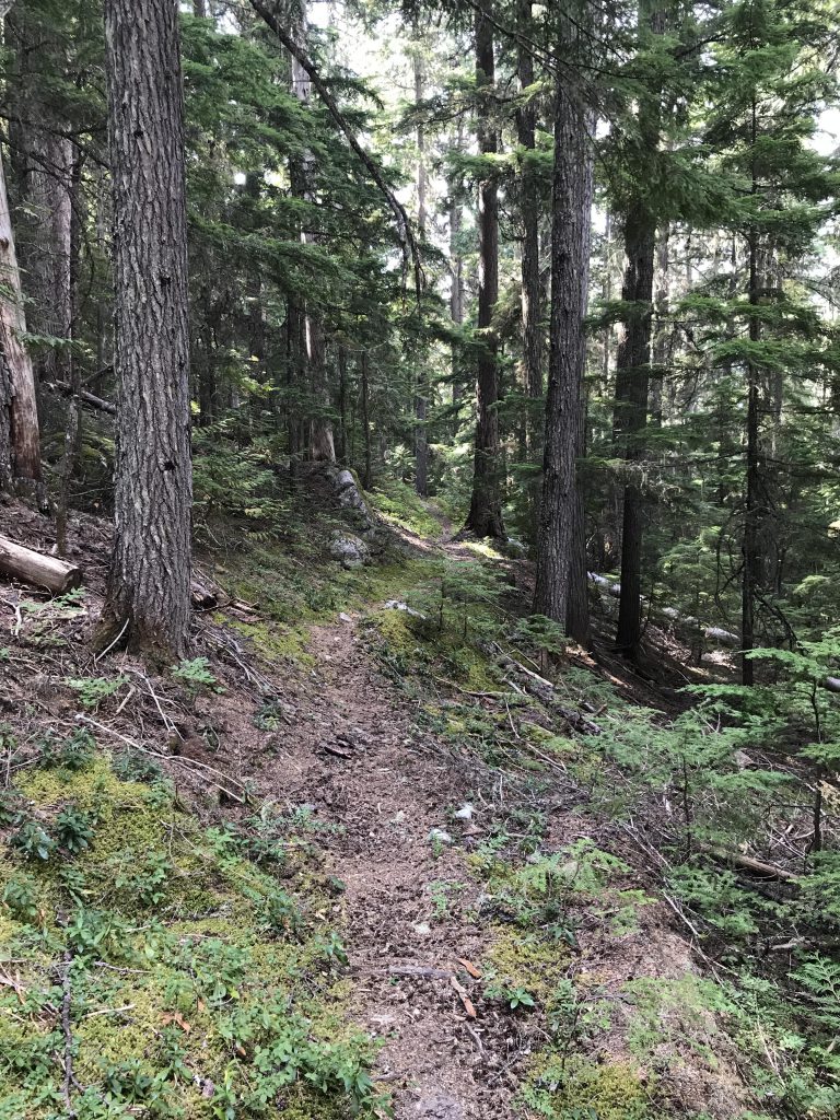
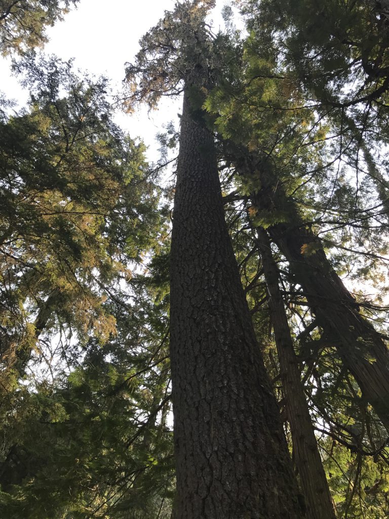
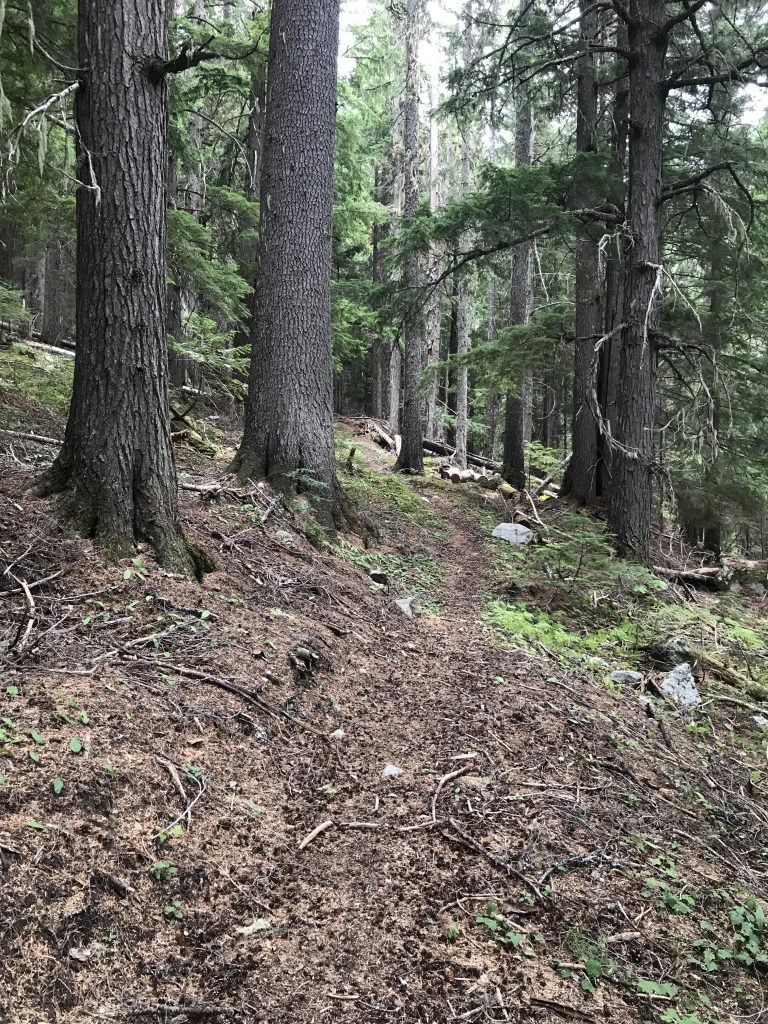
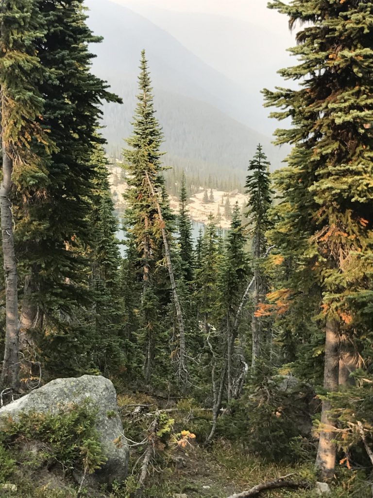
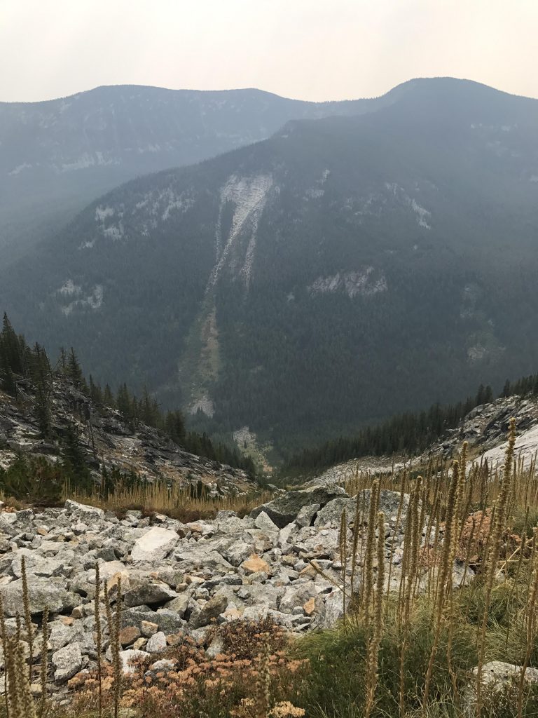
We started early on a Monday morning and were at the Long Canyon trailhead, ready to go, at 8.30 am. The trail follows a gated logging road for a short distance into the woods, but at the first bend in the road veers away, really going straight, and takes the form of a single-track that moves westwards and uphill along the western face of the lower Smith Range. Soon it starts to switchback at an easy incline as it climbs uphill through a fairly dense cedar, fir, and hemlock forest (listen for Smith Falls, invisible in the forest down below, at the first switchback). After the seventh switchback the trail levels off and an east-west gap in the Smith Range provides a flat passage to the southeast. This made for an exceedingly pleasant traverse and surprised with a dense squirrel population and a small pond at the eastern end. The Scribe enjoyed the sweeping views into the Kootenai River Valley as the path emerged on the Long Canyon side, high above the creek, around the 2-mile mark. The trail then shifted southwest, hugging the hillside closely, and climbing quite steeply. The forest was much more open, with far fewer cedars and mostly fir and shrubs. We met the first of only 2 hikers along this stretch, a day-hiker on his way back from the creek.
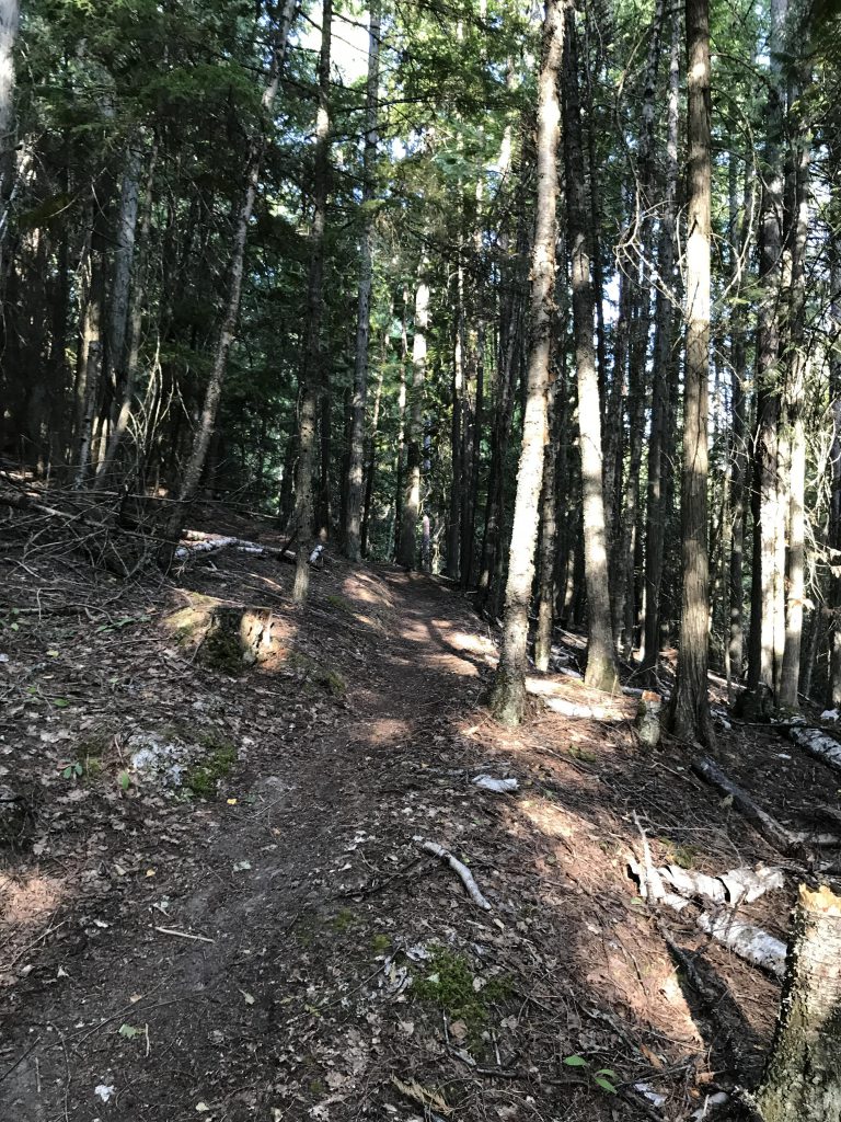
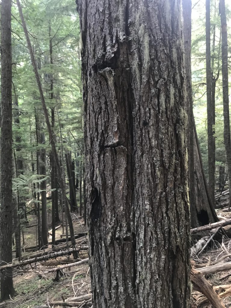
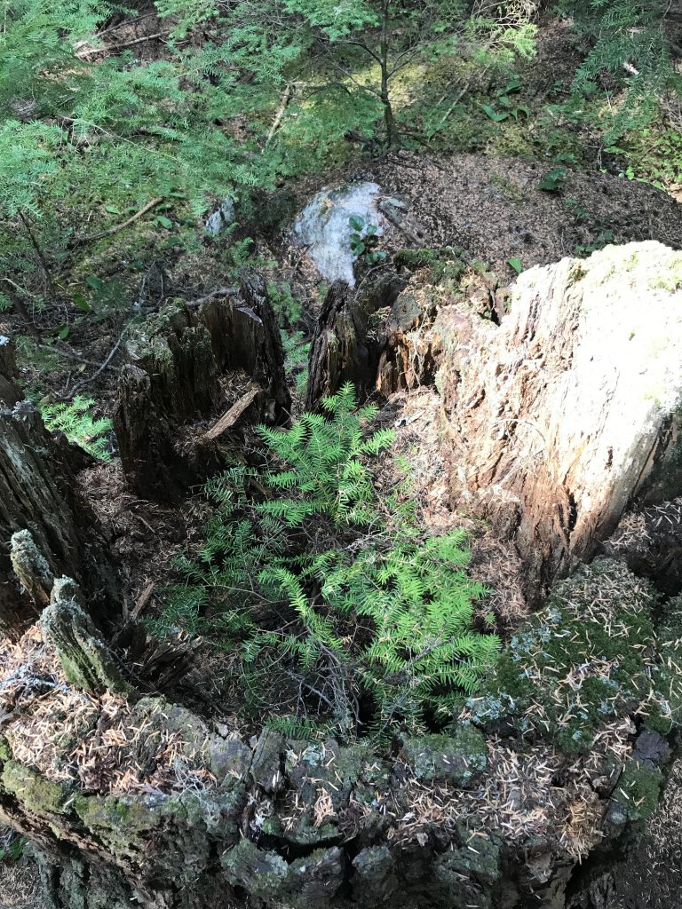
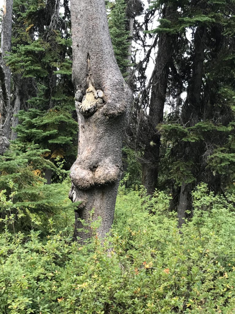
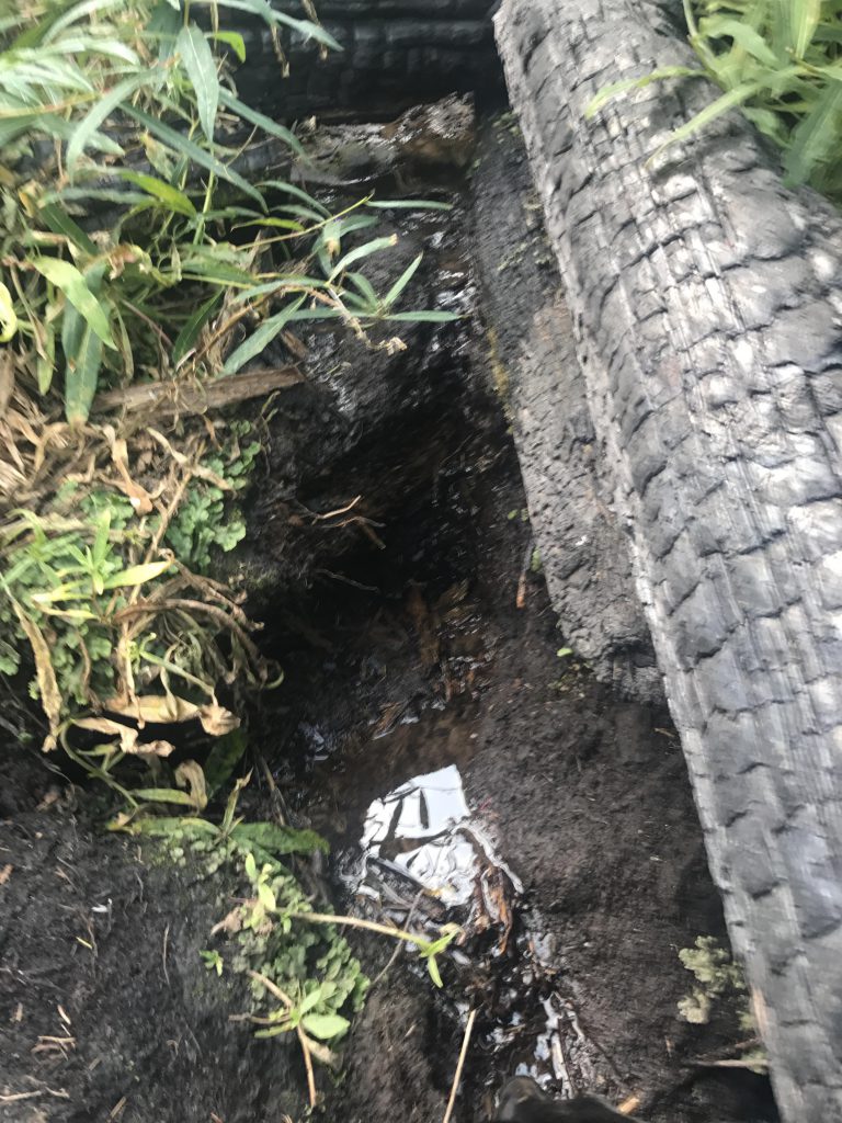
Near the 4-mile mark the trail dropped gently towards the creek, where a great horned owl, startled by my arrival, took flight and on silent wings glided away into the trees. Shortly past that point I scouted out a rather pretty campsite, a bit off-trail and nestled next to the creek. Then the trail once again pulled away from the creek and ascended the hillside, but a thick canopy of cedar blocked out most of the sun. A nice place to hike and hunt for squirrels! We looked for old marten traps at the 7-mile mark, per the instructions in the Scribe’s literature, but weren’t sure what to look for. I don’t trap, I only hunt, so don’t ask me. The Scribe found some odd marking in the bark of some trees, so we called those marten trap markings and moved on, descending to the creek once again, just ahead of the place where the outlet of Canyon Lake merges into Long Canyon Creek. Incidentally, if you’re interested in checking out that lake, rather than bushwhacking tediously uphill, take the Triangulation Smith trail and drop down to it a very short distance from above.
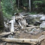
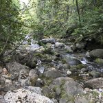
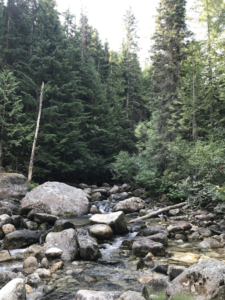
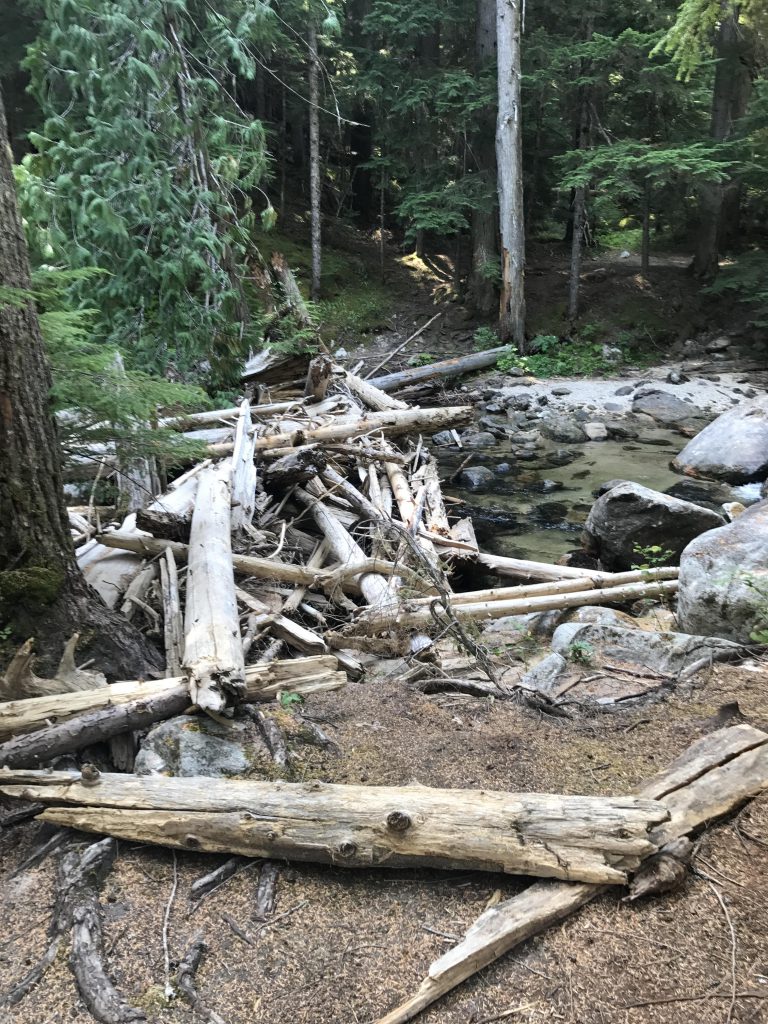
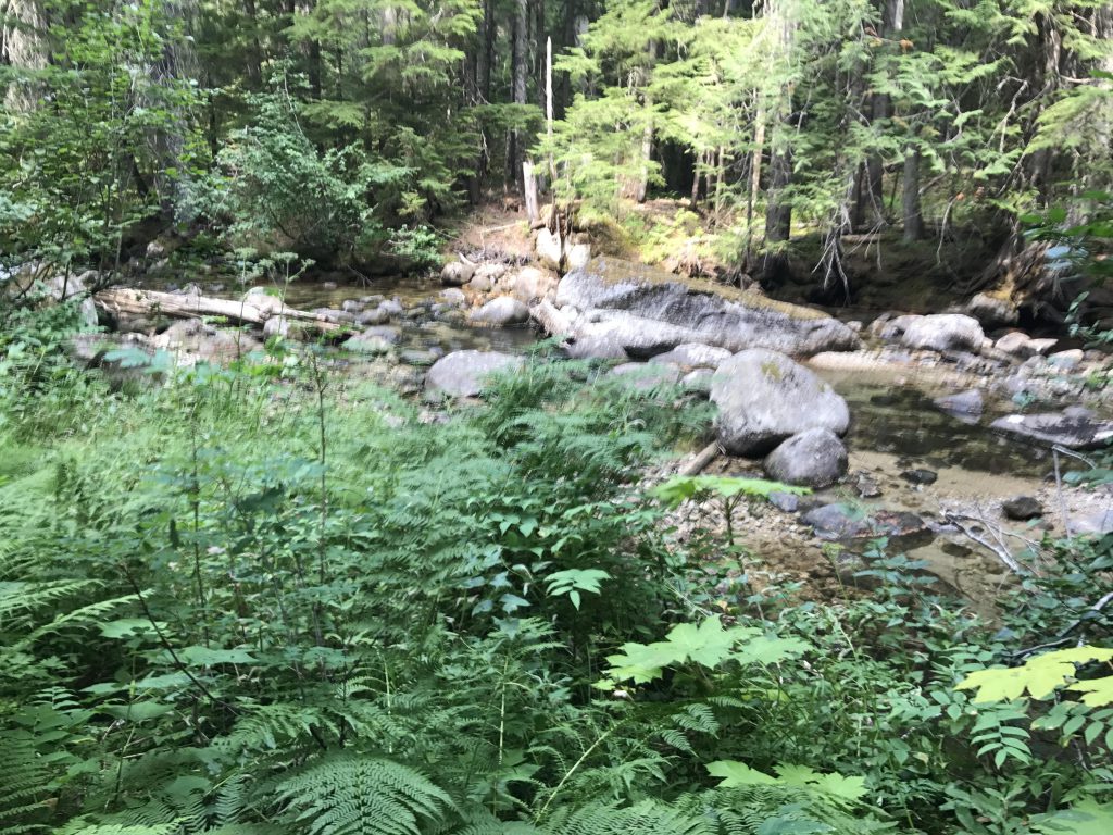
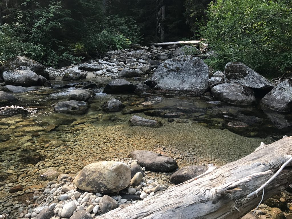
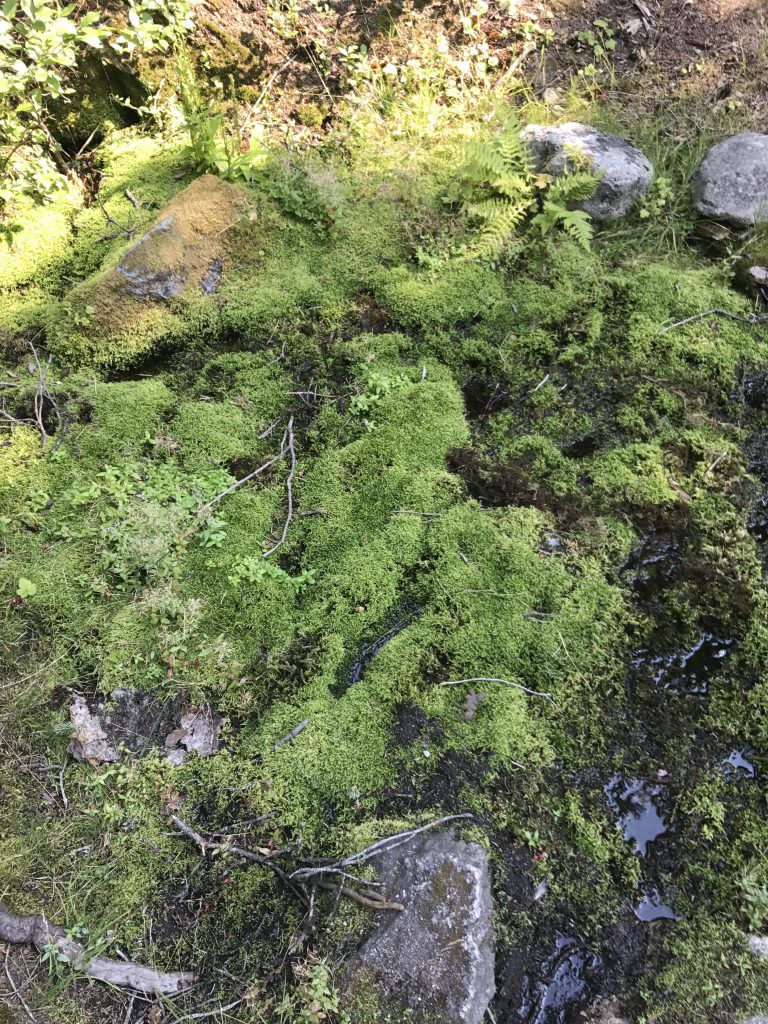
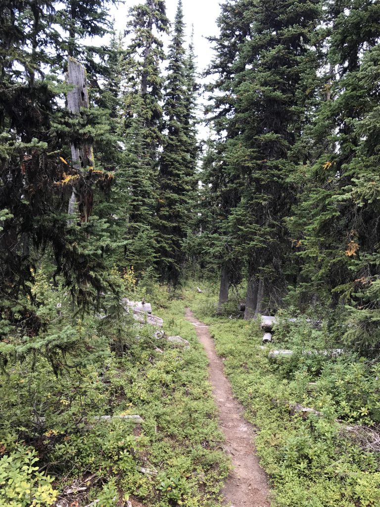
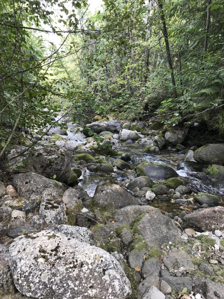
There are campsites immediately before and after the first crossing, which consists of a huge jumble of logs–no need for sandals. On the far side the trail moves uphill, switchbacks, and heads south again through some of the prettiest forest on this trail. The ground is carpeted with moss and ferns, even the fallen logs and boulders are covered with them, and a thick hemlock-and-cedar canopy blocks most of the sun. The creek is on your right, slightly below, with the trail gently rising to keep track with the rise in the creek. There are a number of smaller tributaries in this section, all clothed in lush verdure, including the outlet of Parker Lake.
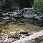
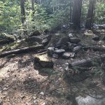
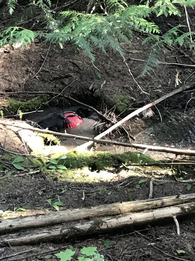
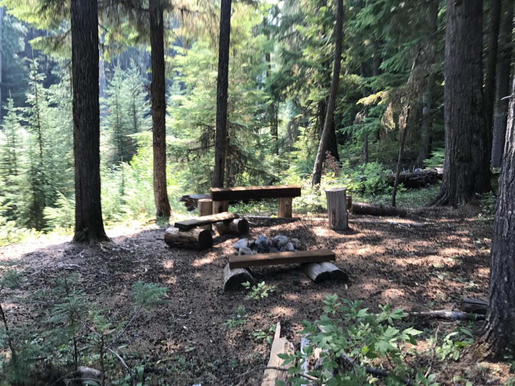
At the 9-mile mark the trail approaches the creek for another crossing, this time without the help of logs. A bit uphill the creek had forked and at the spot of crossing the two branches converged, making for a shallow but wide fording. A rock-hop this late in the season may have been possible, but the Scribe played it save and donned sandals (the only time he used them for fordings on this trip). The old campsite on the far side sits like an island in a sea of devil’s club, horsetail and ferns, with towering old-growth hemlock trees providing shade. A good spot to change shoes. The campsite is decommissioned, though, and is now a few hundred yards further uphill, complete with a set of benches.
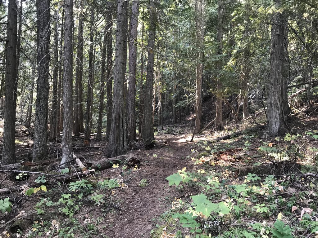
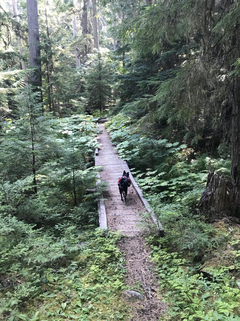
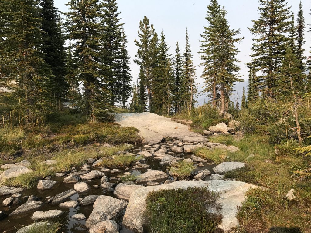
For the next 3.5 miles the trail stays on the western side of the creek and is a bit swampy. Much of the wetter areas are covered by boardwalk that let you enjoy the lush plants and cast an occasional glimpse at the Parker Ridge without getting your feet wet. Just before crossing the outlet of Smith Mountain Lake (an easy rock-hop) is a pretty campsite in the forest. Afterwards, the trail moves away from the creek, with a small hump in between that blocks out any noise and leaves you in complete and utter silence.
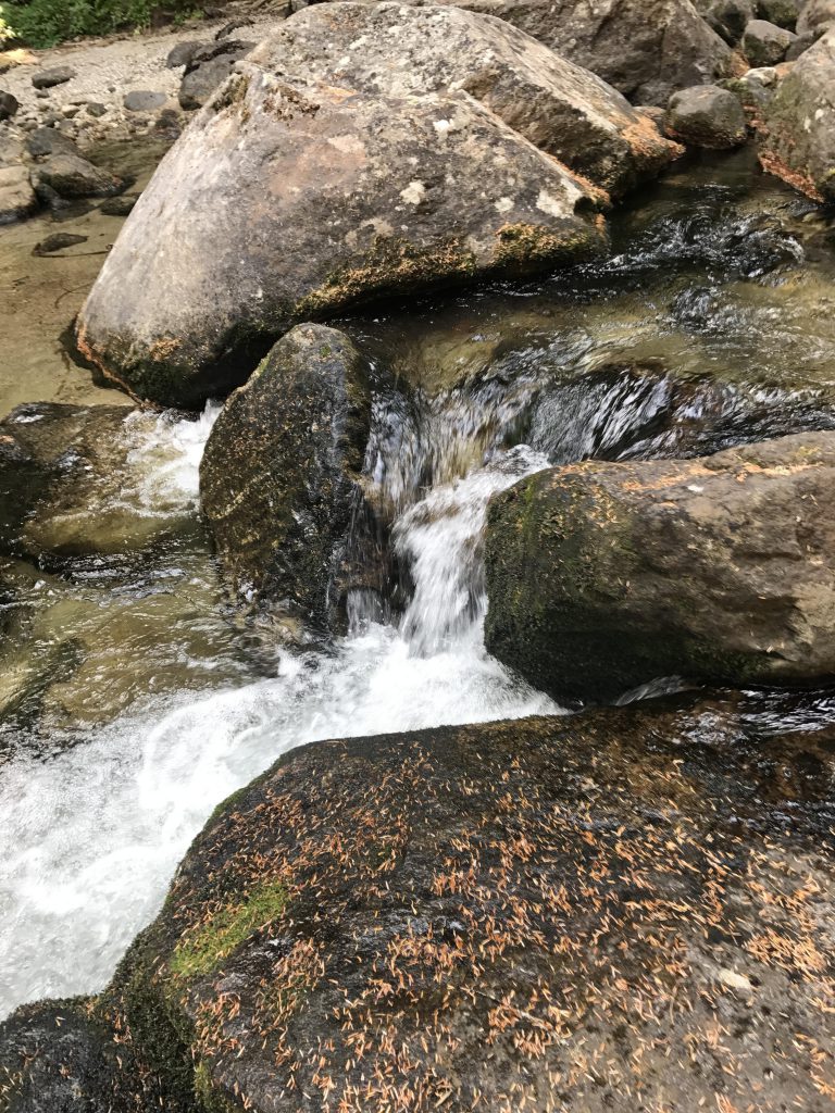
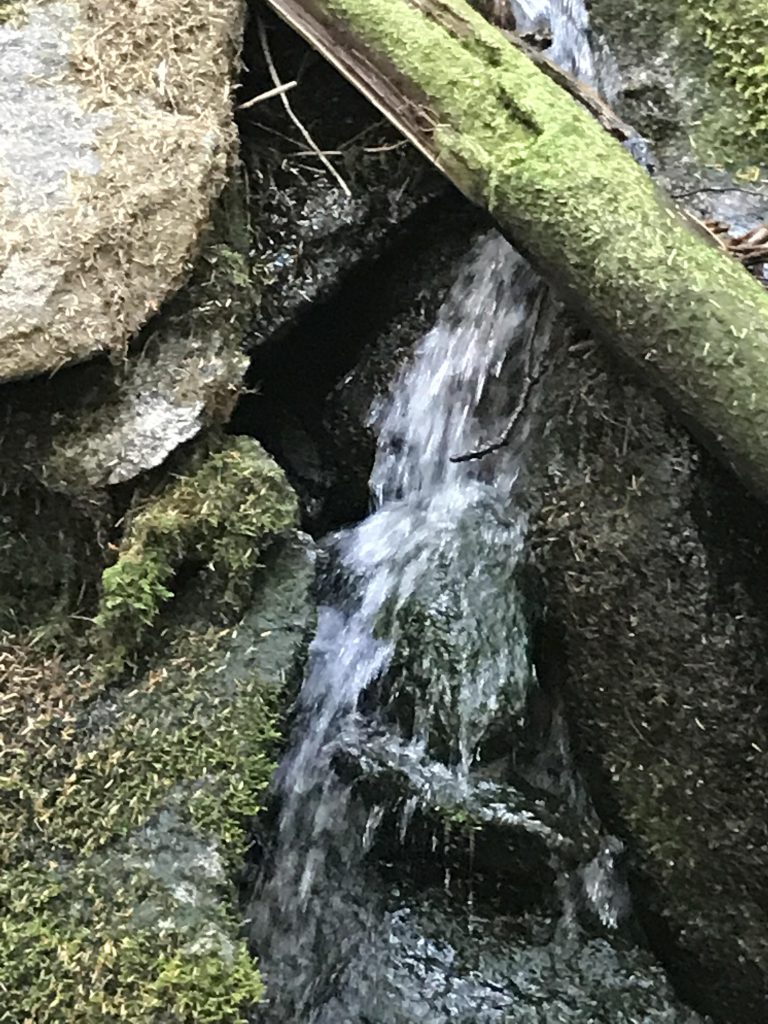
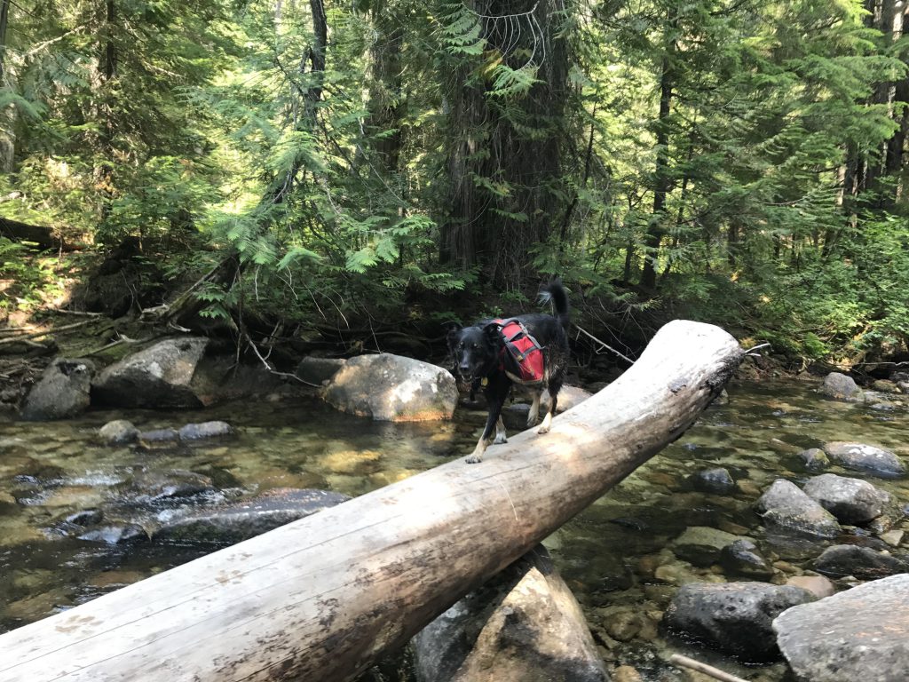
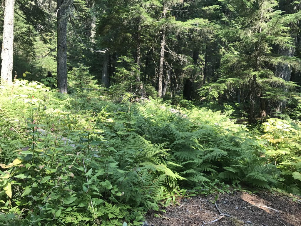
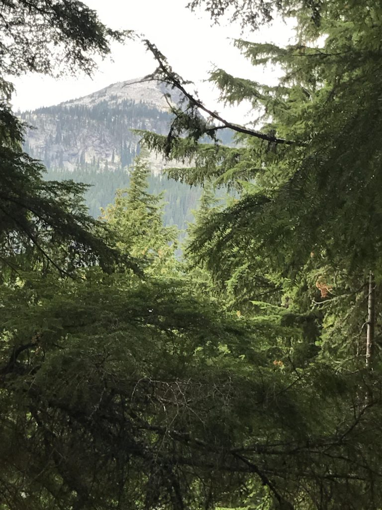
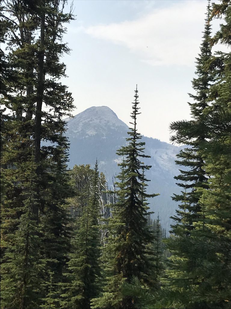
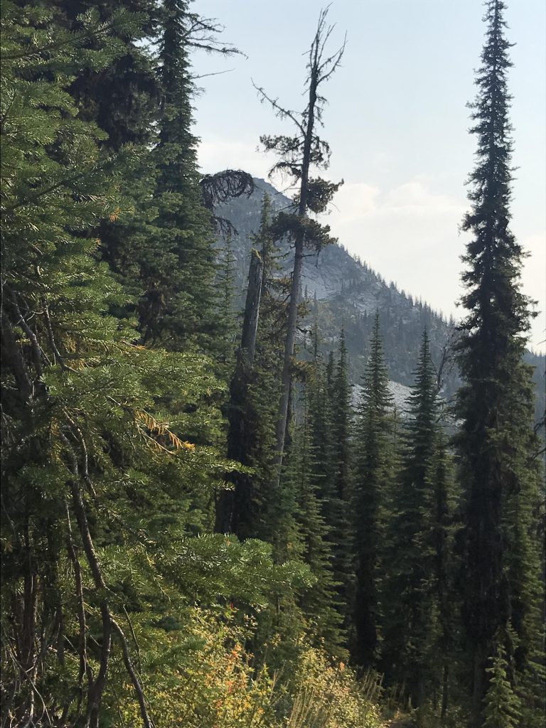
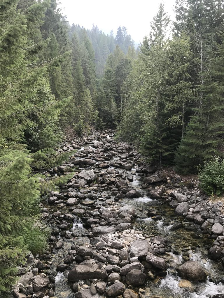
At the 12.5-mile mark we forded Long Canyon Creek for the last time, which was a simple rock-hop. The Scribe filled all our waterbottles, expecting little water during the climb to the ridge (this was unnecessary, though). Trail #16 continues on for perhaps another half mile, then ends at a sign declaring the rest of the trail abandoned (presumably it leads down to the creek and another campsite, but we didn’t check it out). Trail #7 now takes over, making short work of the 4-mile and 2,000-foot climb to the ridge. Along the way you come across a number of small brooks, many smothered in mosses, especially along the half-mile traverse alongside the hillside that breaks up the monotony of switchbacks about halfway up. As the trail ascends, you start to catch glimpses of Smith Peak to the west, getting clearer and larger with every switchback. The plants also change, with cedar and hemlock yielding to spruce, fir and pine, and the lush fern-and-devil’s club undergrowth replaced with huckleberries and later beargrass. The second set of switchbacks parallels a brook, as it climbs, and that brook had plenty of water even in late August. Along this stretch you’ll also start seeing Pyramid Peak on and off to the south.
The intersection with trails #13 (Pyramid Pass) and #221 (Parker Ridge) is reached at the 16.5-mile mark. Our tour continued across Pyramid Pass for a visit to many area lakes, but most readers will probably want to hike those from the Trout Creek trailhead, and thus we’ll cover them in separate reports. In a nutshell, we hiked across Pyramid Pass, then up the Big Fisher Lake trail to Trout Lake, stayed the night, then hiked on to Big Fisher Lake, retraced our steps to trail #13, hiked out to the Pyramid and Ball Lakes, then retraced our steps across Pyramid Pass to end up at this junction again towards the end of the second day.
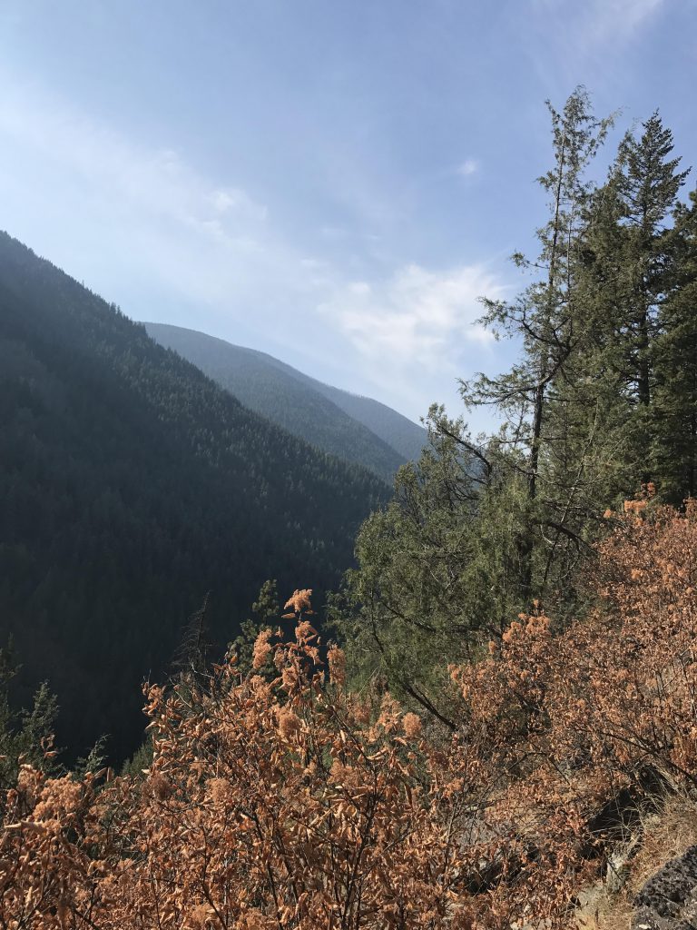
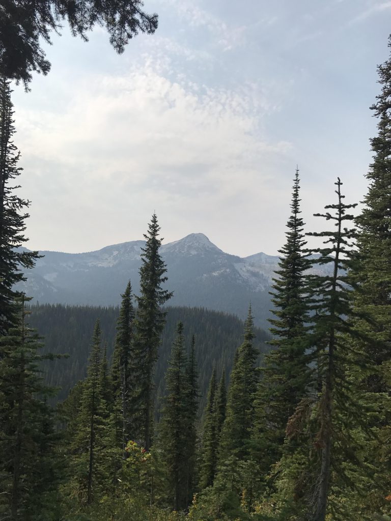
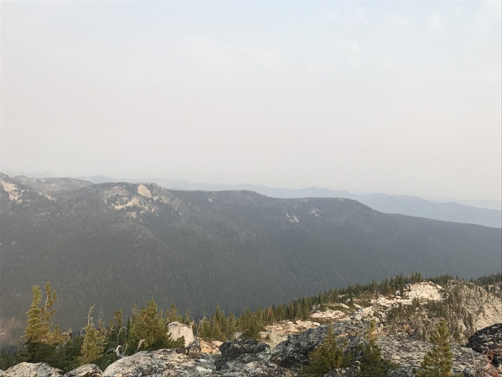
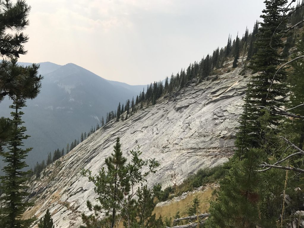
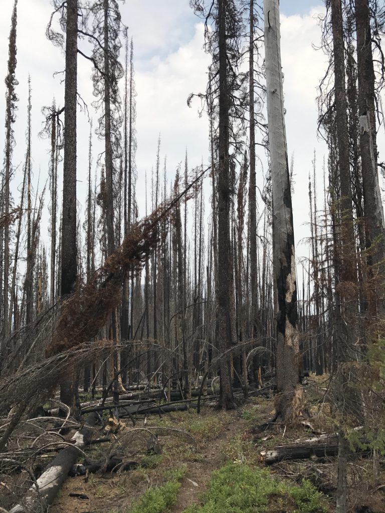
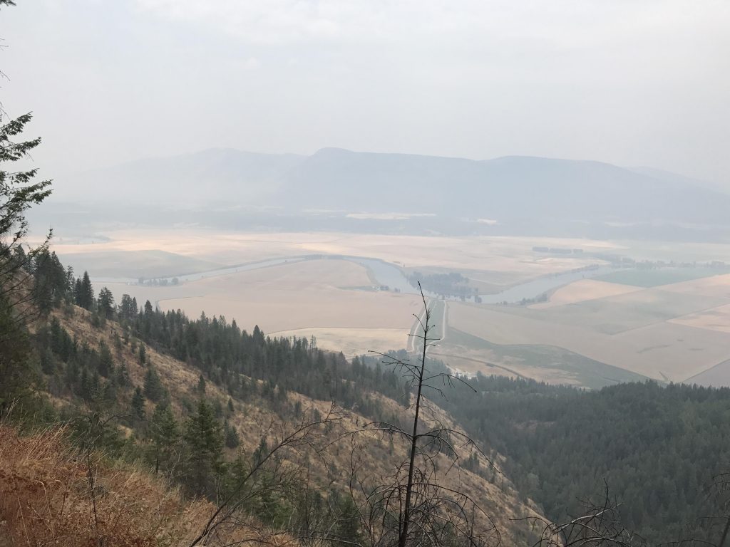
But what a difference a day made! Smoke from wildfires in Canada and Montana had drifted in and all but blocked the view of Smith Peak. Bummer! Trail #221 led fairly steeply uphill through a forest that burned decades ago and is well on the road to recovery. After a mile or so we ended up on the ridge and the views would have been terrific if it weren’t for the smokey veil.
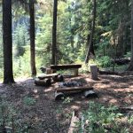
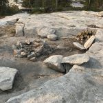
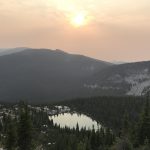
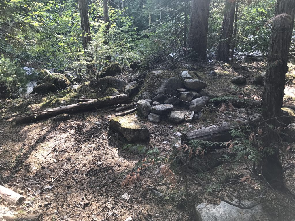
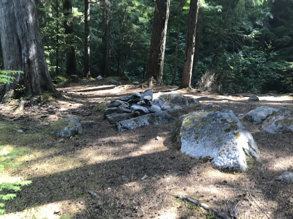
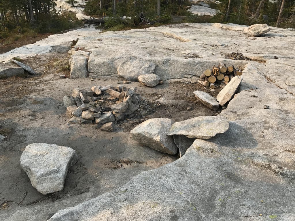
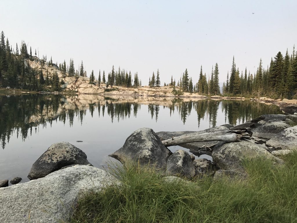
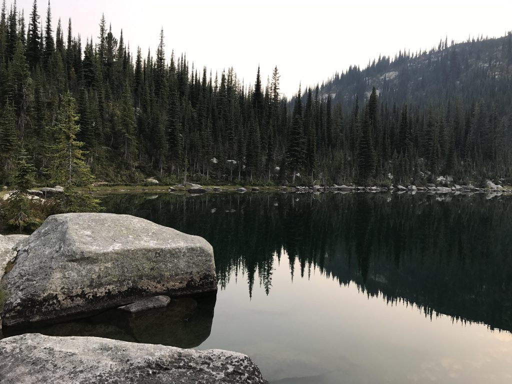
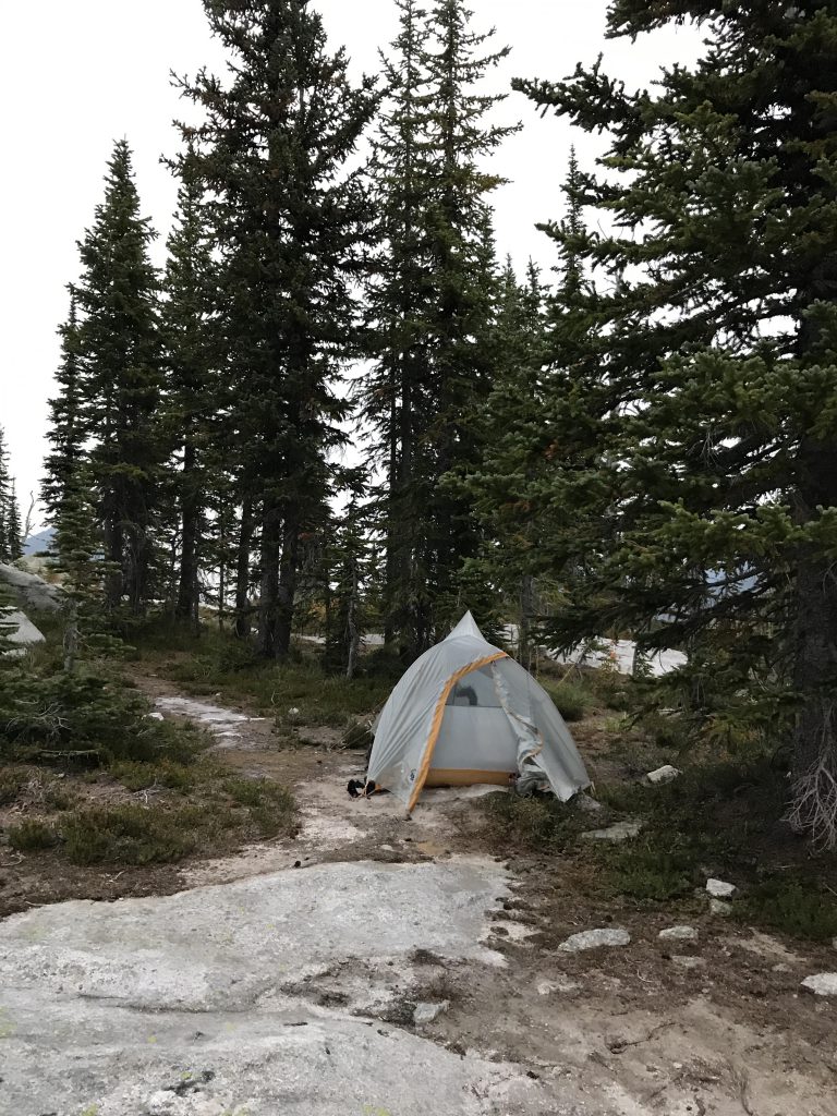
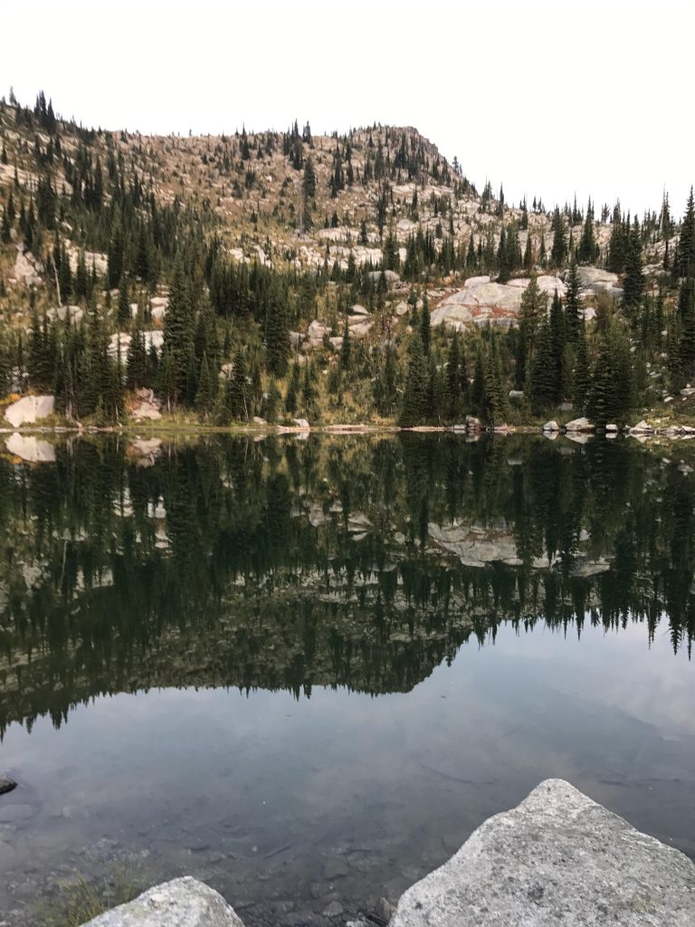
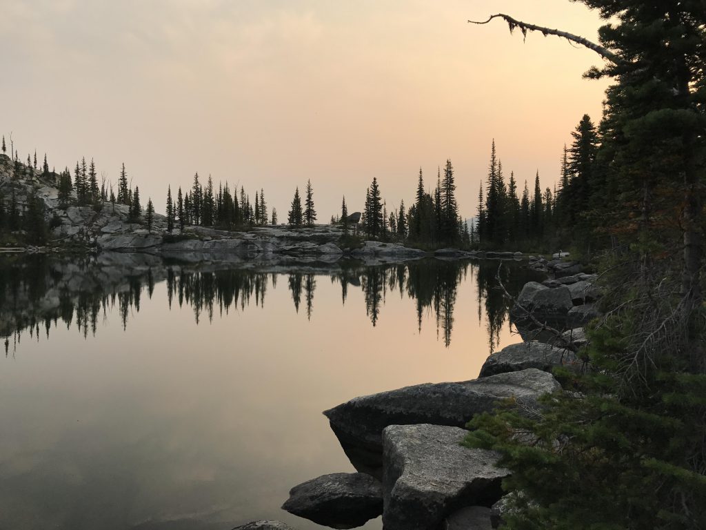
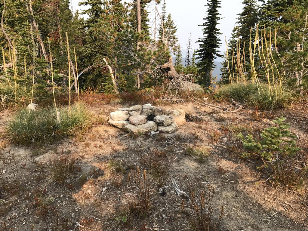
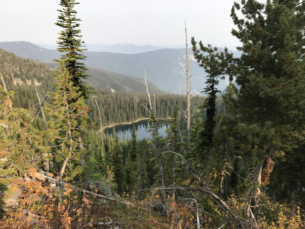
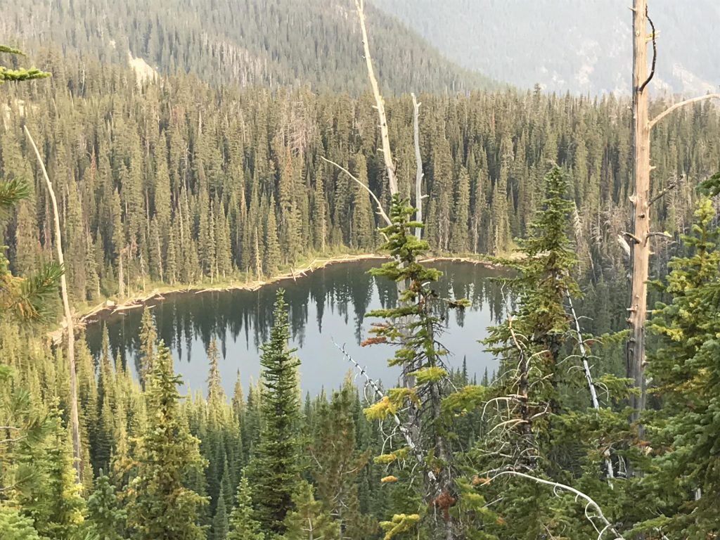
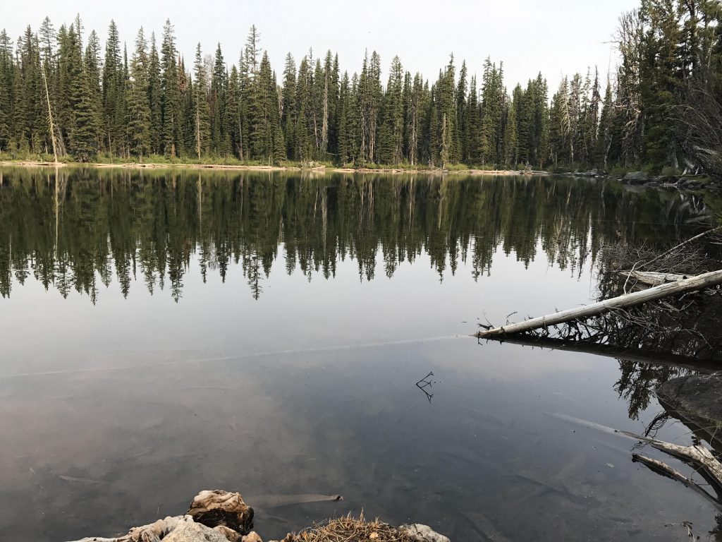
After a short walk along the ridge, we got to the fork with Long Mountain Lake trail #15. This picturesque lake lies 500 vertical feet below in its granite cirque and was the highlight of the trip. There is a campsite, used mostly by equine trail users, right where the trail meets the lake, but a much nicer one is on the granite shelf at the outlet of the lake, complete with firepit, rock table and rock chairs. I took a swim, and the Scribe wasn’t much behind me.
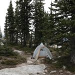
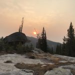
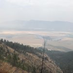
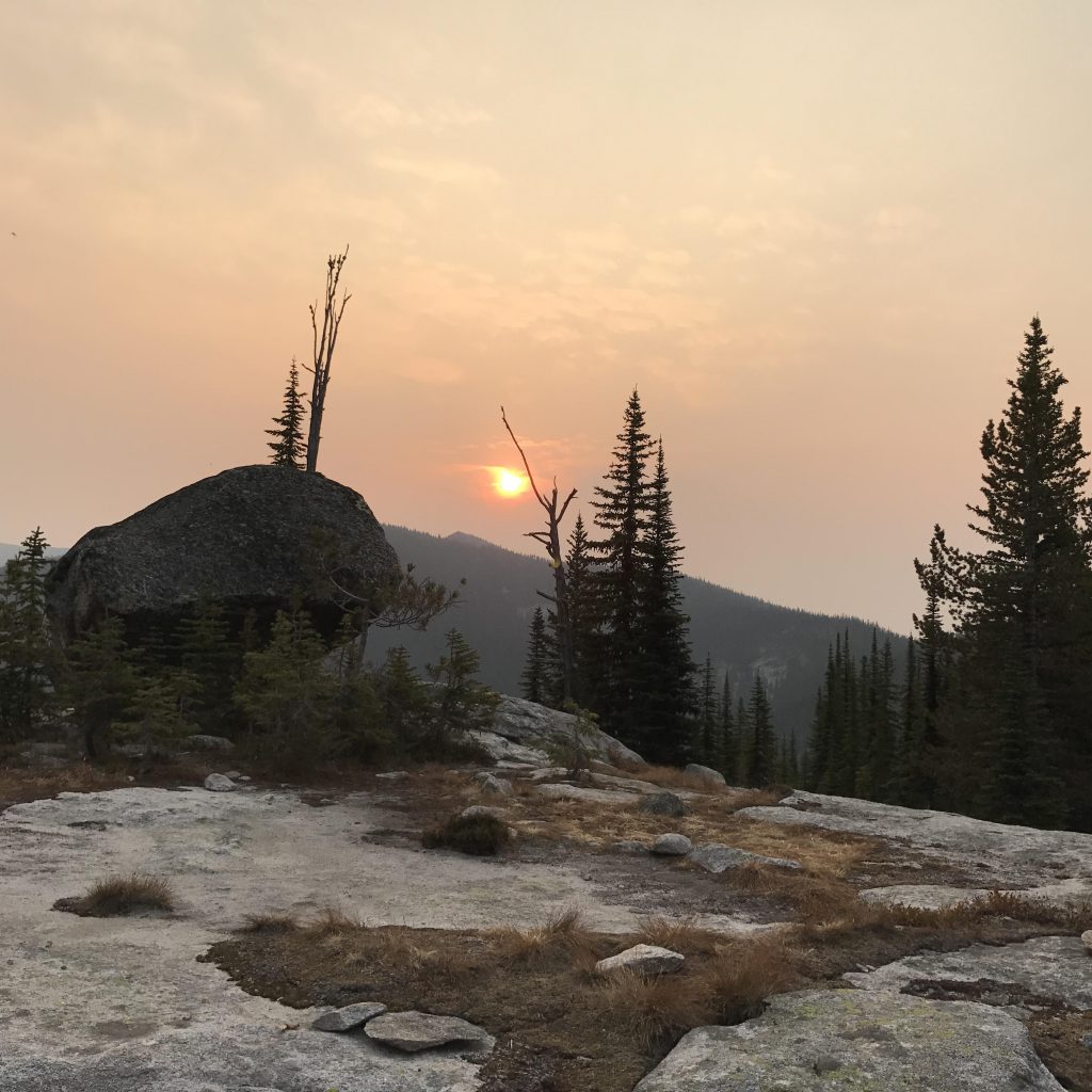
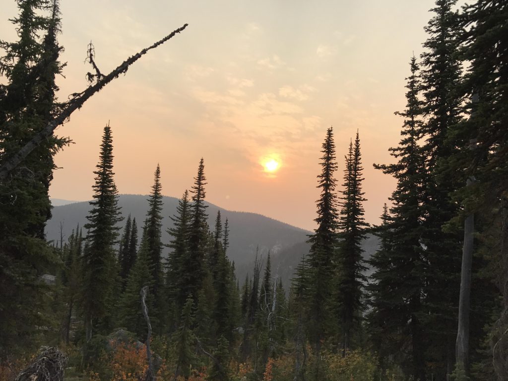
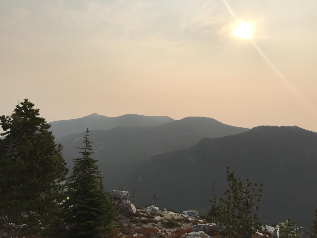
We spent the night on the shelf, hoping for a bit of wind to disperse the smoke. During the night the wind picked up indeed, warm and furious, barreled across our tent and thundered noisily down the Parker Creek canyon. Imagine our disappointment on the next day, when the silver curtain still hung over the Kootenai River Valley. It had lifted a bit, though, as we made out the rough outline of the Purcell range on the horizon.
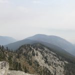
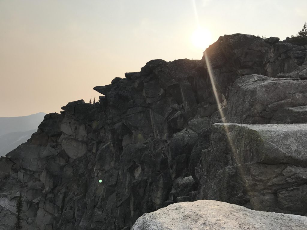
We left the lake behind as a fiery-orange sun poked over Fisher Ridge and promised another hot day. The climb out of the cirque was easy in the early morning hours and the ridge above held a surprise in store: the smoke had almost completely drifted off the Smith range, with Smith Peak in full and splendid view!
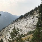
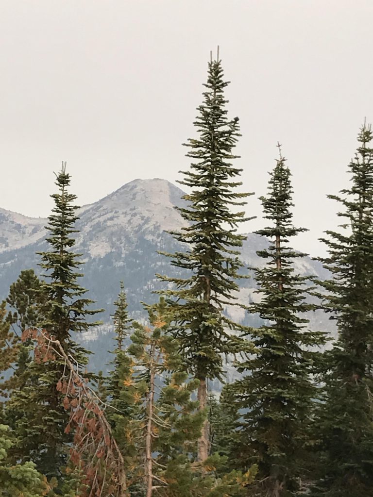
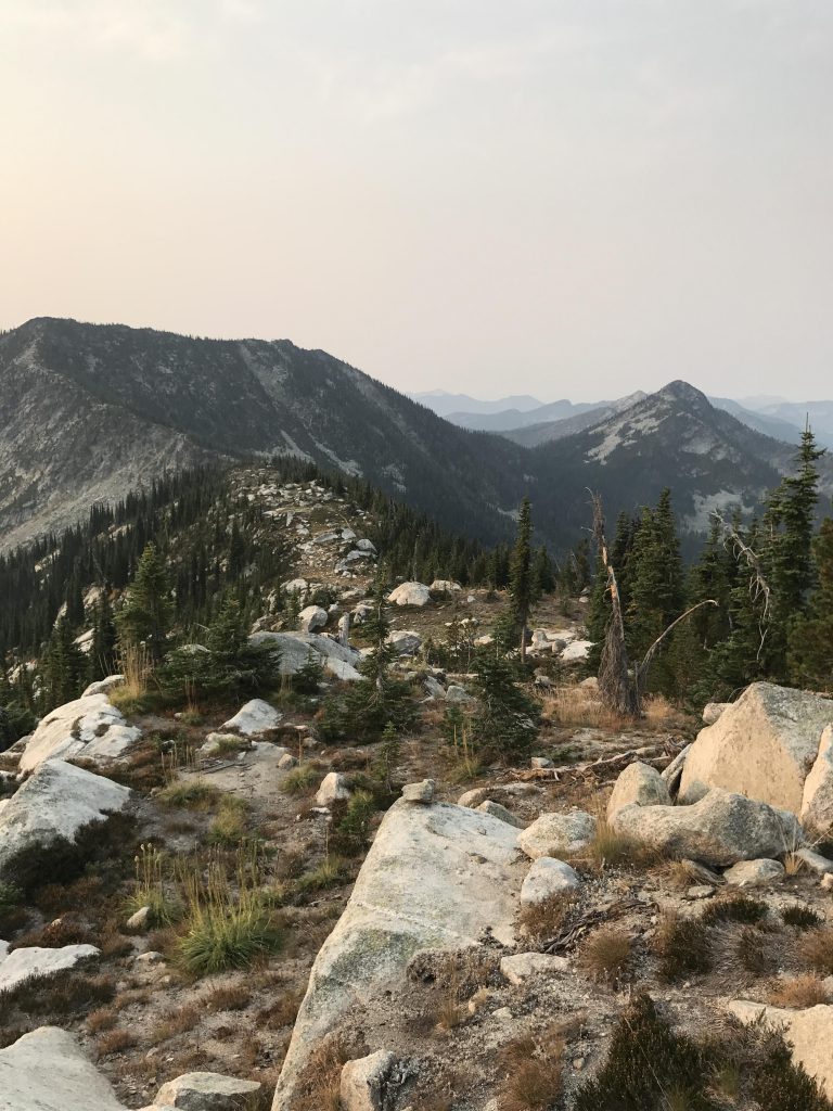
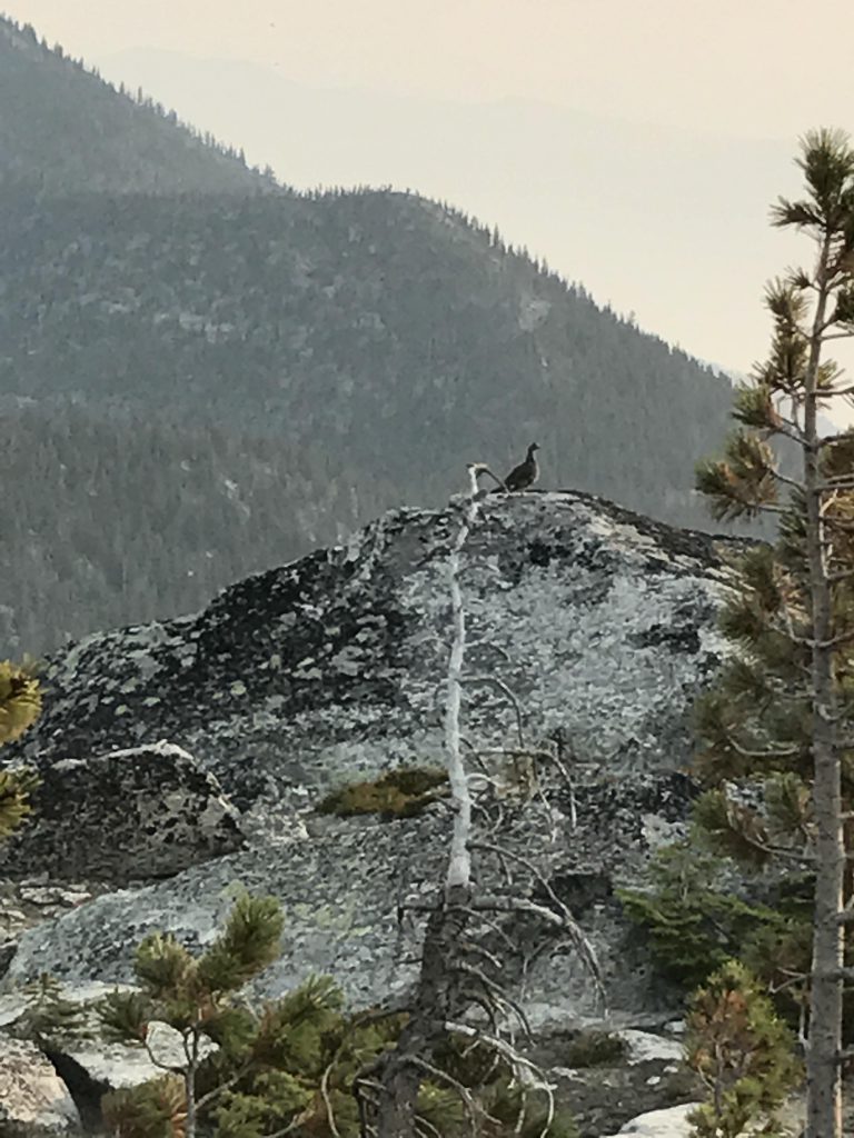
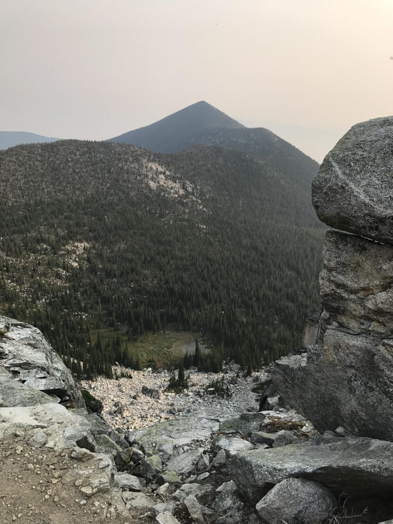
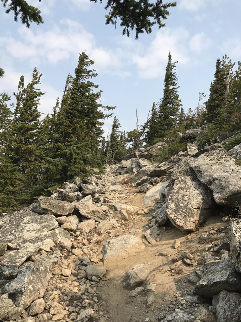
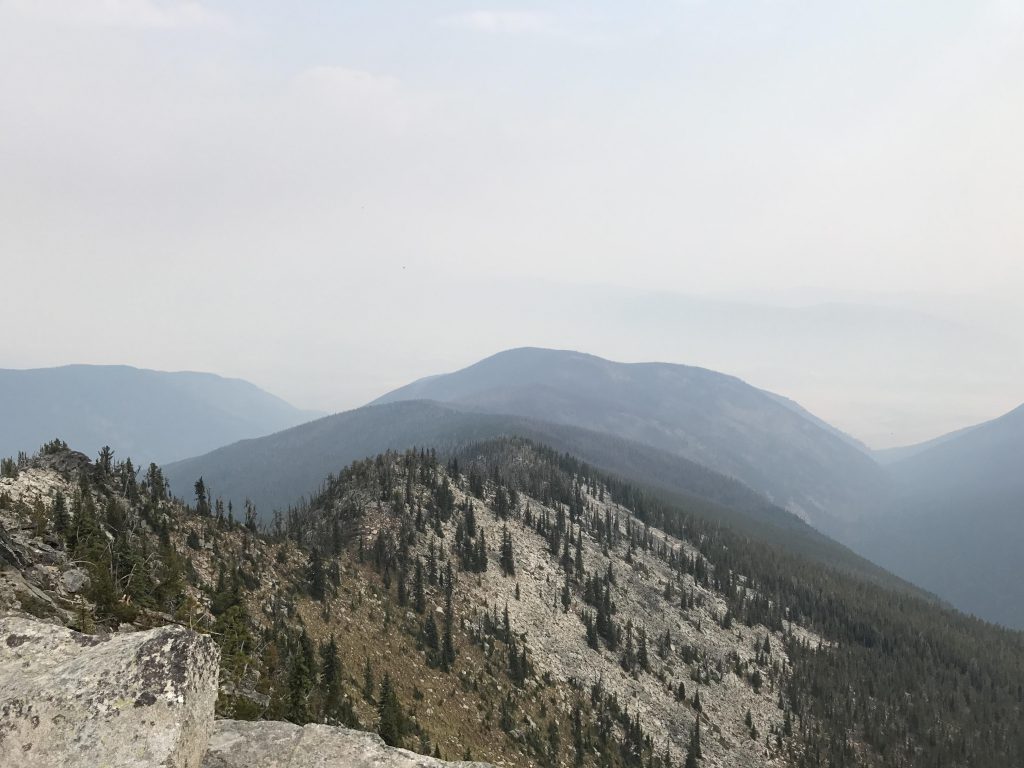
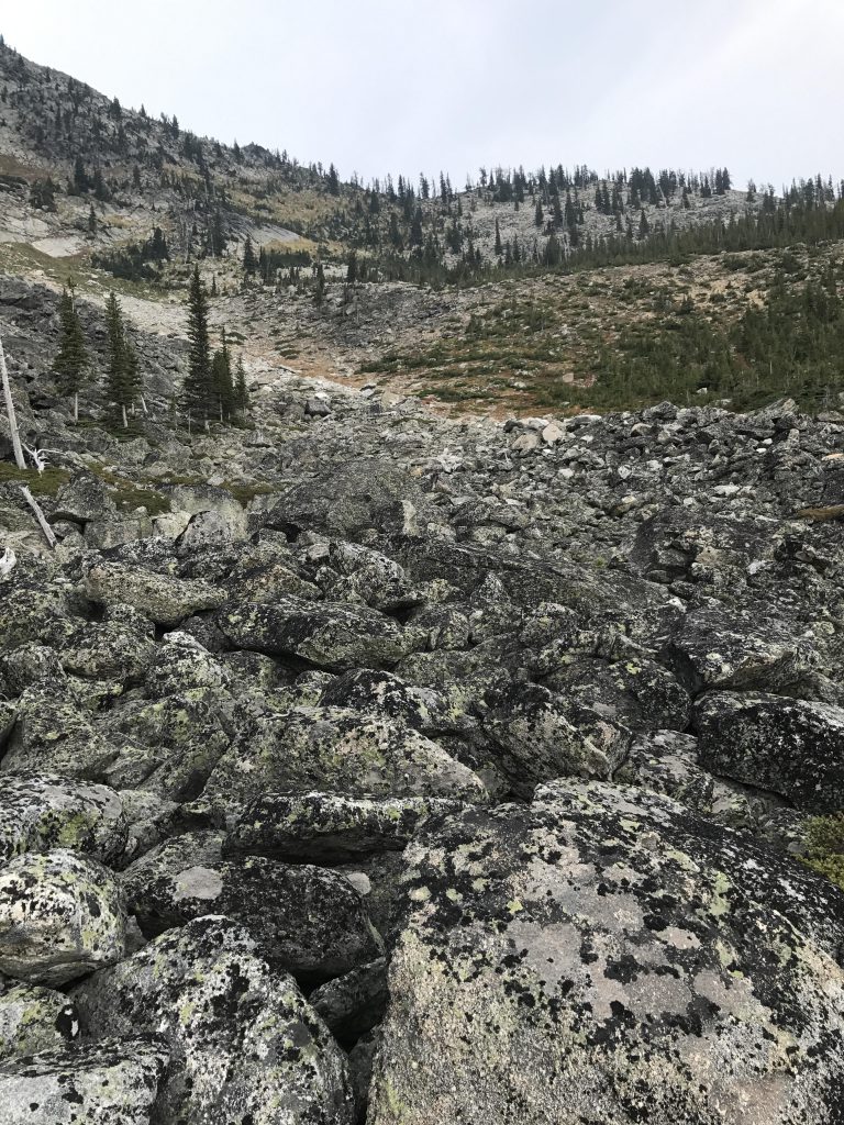
For the next few miles the trail follows the ridgetop fairly diligently. It stays slightly below Long Mountain, though, on the west side, but the peak is only a few paces away and serves up incredible views, including a good look at the lake cuddled at its feet. Then it’s off to 7445 Mountain, an unnamed peak topping out at 7,445 feet. The trail also bypasses this peak on the western side and therefore we left it for a quick scramble to the ridge. We overshot the target a bit and emerged onto the ridge slightly to the north and had to backtrack up to the peak. Not only were the views grandiose, I also found two grouse (no chicks, they are all grown. It seems only a bit over a month ago, while on West Fork Mountain, all the grouse had chicks. They grow up fast). We signed the geocache Under the Top and headed back down, following the ridge this time to a spot where it converged with the trail. It does so near a boulder field, where you’ll have to bear left. The trail then switchbacks lower, finds a shelf in the granite wall, and continues along that back up to the ridge. The ridge is strewn with giant boulders, carpeted with heather, pussytoe, and a sprinkling of spruce trees. The ridge isn’t above the timberline, but its granite surface provides little support for trees.

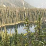
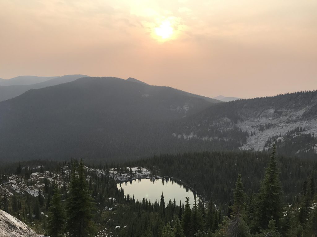
At the 6-mile mark you get to a campsite and the drop to Parker Lake (trail #203), the last reliable source of water before reaching Parker Creek (12 miles) or perhaps a hillside spring (6 miles). The three-quarter-mile descent to the lake follows a narrow gently-graded shelf in a granite cliff almost to the end of the lake, but still high above it, then switchbacks and leads beneath the cliff into a dense fir forest. Once inside the forest the path plunges steeply to the lake, with a fair number of fallen logs blocking the way. The lake actually looks better from up high than up close, as it is shallow and entirely ringed by dense shrubbery. The campsite is decent and spacious, but has seen some equestrian use and the aroma lingers. We filled our bottles and headed back out.
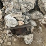
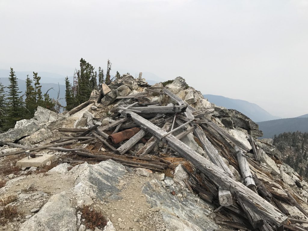
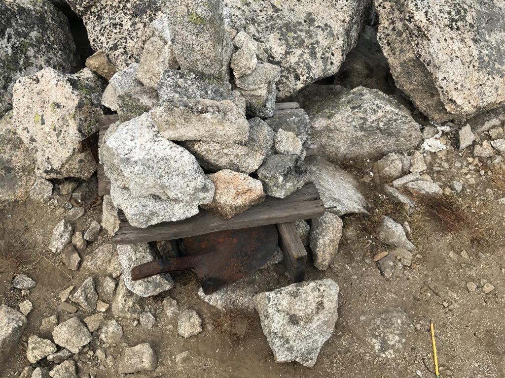
Once back up on the ridge, the trail continues to climb to a shoulder of Parker Peak, then forks, with the left branch climbing the peak in a tad over half a mile. The last stretch crosses a boulder and talus field to the top, where the remains of a lookout tower are found. I explored everything in detail, while the Scribe guzzled half of our water. I found the summit log in an ammo box beneath a shovel head. The Scribe signed it with his real name, so if you want to know who he really is, all you have to do is climb the highest named peak in North Idaho.
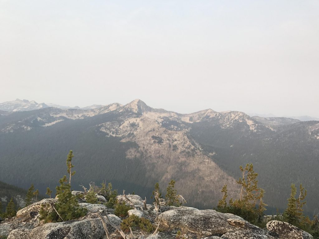
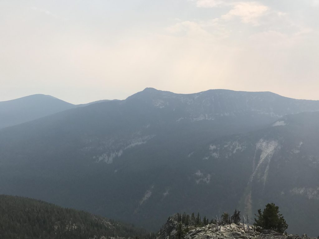
The views from the peak are simply spectacular, though. To the east, across the Parker Creek Canyon, is Fisher Ridge, home of the highest, albeit unnamed, peaks in the American Selkirks. To the west, across Long Canyon, is the Smith Ridge, including Smith Peak, Cutoff Peak, and Triangulation Smith. To the south you’ll look back along the ridge towards Pyramid Peak. And to the north? Well, we looked at the Kootenai River Valley, largely veiled by smoke, and into Canada. You’re supposed to be able to see as far as Creston, BC, now behind the White Curtain. It worked best when we closed our eyes…
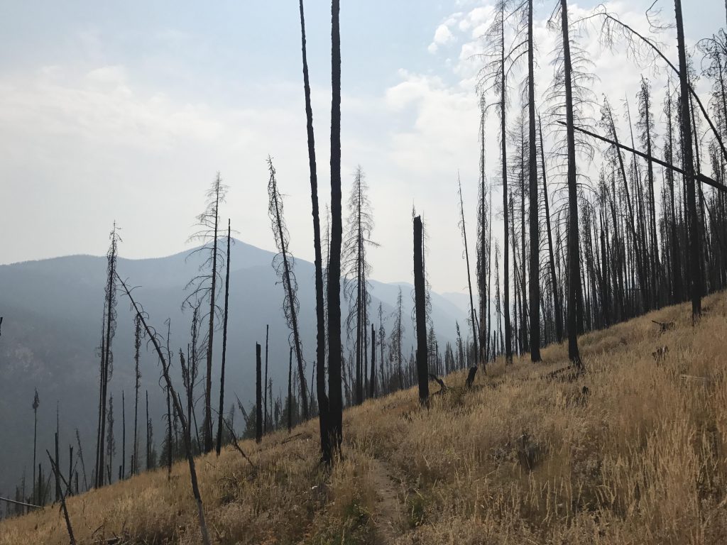
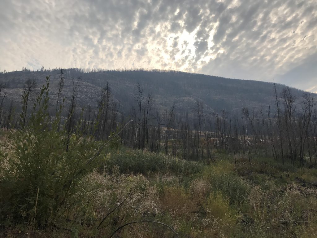
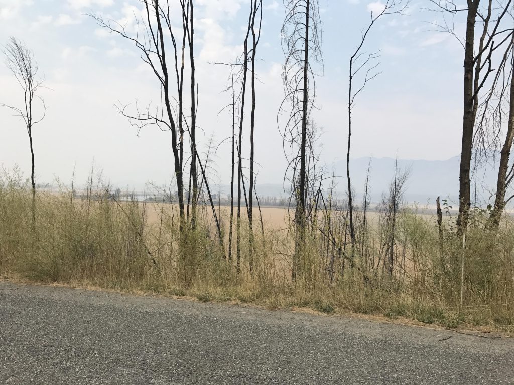
Afterwards, its downhill about 6,000 vertical feet in about 12 miles. Retrace your steps to the junction below or scramble across the ridges to the north; they’ll eventually meet up with the Parker Ridge trail. From the junction the trail heads downhill alongside the east face of Parker Peak, skirting sheer granite rock outcroppings and crossing a boulder field. Shortly after the boulder field the trail ascends for the last time, mostly through pine instead of spruce now, and steadily gaining altitude until the ridge is reclaimed. Then, the relentless descent begins along the spine of the ridge. Soon you’ll enter the devastation of the 2015 Parker Ridge Fire, at first limited to the eastern side of the trail, but soon the entire ridge consists of burnt snags. We met the second hiker along this stretch, a PNT-section hiker who had started in Eureka and was headed to Metaline Falls.
Around 6 miles from the Parker Ridge trailhead on Westside Road is a small spring, with an ancient and rusted gas can pointing the way in the elbow of a switchback. The spring is about 10 yards from the trail, and consisted of a sad trickle. I slurped what little water there was and took a mud bath in the rest. The Scribe passed altogether, claiming he’d make it to the bottom in less time than it took to fill the bottles. Onward we moved, lower and lower, running completely out of water about 3 miles from the trailhead.
While taking a break in a shallow ravine it started to rain. Just a few large drops, and it ended as soon as we left the ravine. I figured it must have been a rain gully. Then the trail traversed a steep meadow, tall with yellowing grasses, then crossed and recrossed it ad nauseam as the trail dropped lower and lower. I knew we’d returned to civilization when the grasses gave way to knapweed and soon after we came upon the sign indicating trail #14, which led off to the right towards Parker Creek (it once led all the way to Fisher Peak, but not anymore). We swung a left and within a quartermile were at Parker’s Westside Road trailhead.
Here I plunged into Parker Creek while the Scribe refilled the waterbottles and strategized about the best way back to the Long Canyon Creek trailhead. Plan A was to call an Uber. Problem: His phone was at 10%, we had no signal, and the chance of an Uber actually picking us up was nil. Plan B was to hitchhike. Problem: Not a single car went in the direction of Long Canyon. The triple-whammy of stage 2 fire restrictions, a weekday and the smokey veil ended all traffic into this recreation area. Plus, the chance of a car actually picking up a grubby old man and a muddy dog was near zero. As always, we reverted to Plan C. We hoofed it. It’s what we do.
Alternate Routes
- You can do the loop clockwise, starting at the Parker Creek trailhead (3.5 miles ahead of the Long Canyon trailhead on Westside Road). However, this means you’ll do the steep portion of the ascent upfront at lower elevation where it is hotter and muggier
- You can do either the Long Canyon or Parker Ridge trail one-way by parking one vehicle on Westside Road and the other on Trout Creek Road #634. From #634 take trail #13 (Pyramid Pass) to the junction with #221 and #7, about 2.5 miles.
Things to Consider
- Food must be hung when camping (it is bear country, including grizzlies, alongside wolves, cougars, wolverines, moose, et al)
- The Parker Ridge portion of this loop is part of the Pacific Northwest Trail, which stretches from Glacier National Park to the Pacific
- Our trip was about 21 miles and 6,000 feet of ascent on day one (Long Canyon to Trout Creek via Pyramid Pass), 19 miles and 4,000 feet ascent on day two (Trout Lake to Big Fisher, back to trail #13, then to Ball Lakes, back to Pyramid Pass and to Long Mountain Lake), a bit over 23 miles and 3,500 feet of ascent on day three (Long Mountain Lake back to Long Canyon trailhead on West Side road via Parker Ridge, with side trips to Parker Lake and Parker Peak). Total a bit over 60 miles and 13,000 feet ascent.
Not so great


Beautiful pictures!! Such a wonderful, ambitious project, and a fun blog. Glad the Naughty Hiker didn’t tangle with any grizzlies!
She barked at something in the woods at one point, and she doesn’t bark at deer. Not sure what it was, and she left it alone and it left us alone. Could’ve been a bear. Thanks for reading!
Beautiful pictures!! Such a wonderful, ambitious project, and a fun blog. Glad the Naughty Hiker didn’t tangle with any grizzlies!
Beautiful adventure, Naughty! So glad you let the Scribe join you so we get to read about it and see photos! Happy 5.0!! Catch any squirrels?
They always get away but it’s not for lack of trying. It’s happened that I’ve come back from hikes with my eyes encrusted with dirt to hear blindness. Those pesky ground squirrels! Thanks for reading!