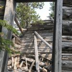
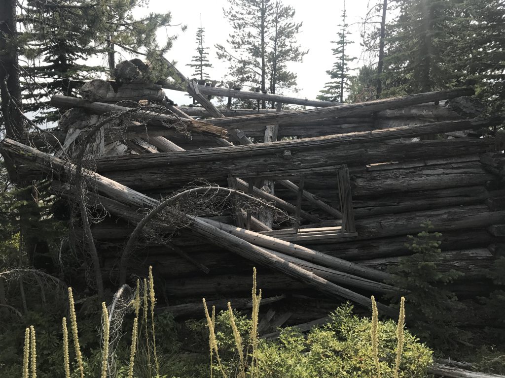
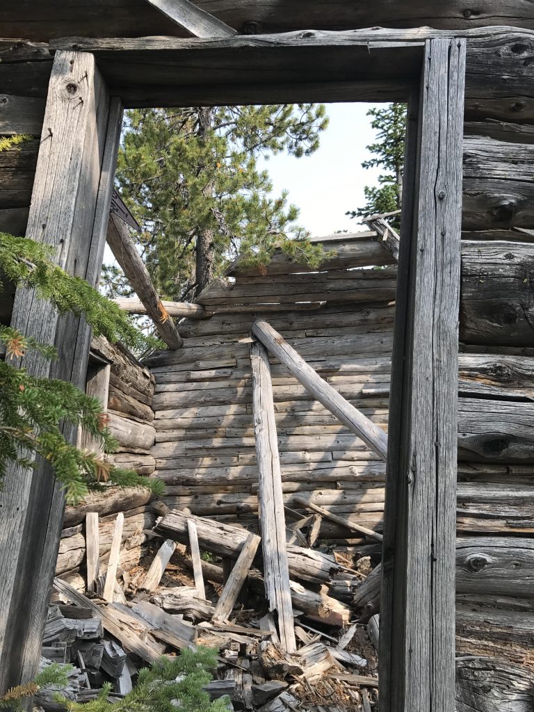
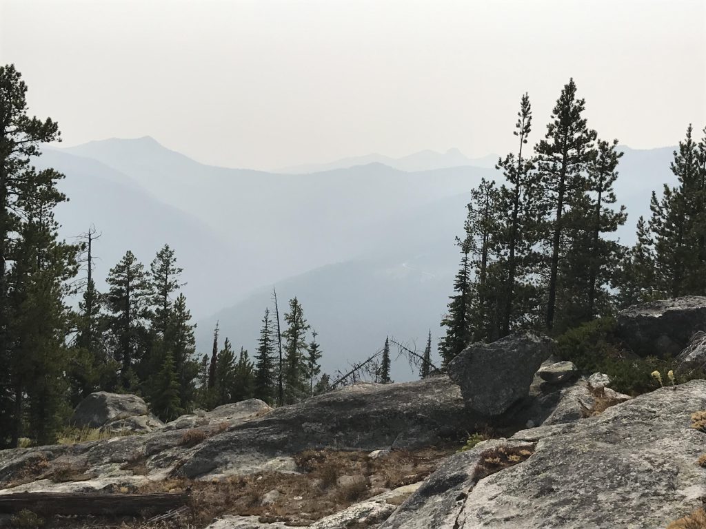
Cooks Peak stands guard, literally, over the divide between the Myrtle Creek and Snow Creek drainages. It is a former fire lookout, with the footings of the tower still intact and a decaying cabin rapidly disappearing. The bare peak serves up phenomenal views of the surrounding mountains, including Roman Nose and Myrtle Peak, and the Kootenai River Valley.
Location
Selkirk Mountains
Rating
3.3 out of 5
Difficulty
Moderate (some uphill hiking)
Distance
2.7 miles
Duration
1:03 hours moving time (Hiking)
Elevation Gain
745 feet
High Point
5,998 feet (Cooks Peak)
Low Point
5,189 feet (Trailhead)
Features
Mountain
Structure
Outing Type
Daytrip
Trail Type
Out-and-back
Trailbed
Packed dirt
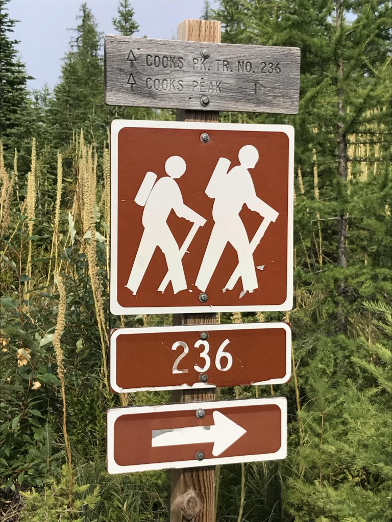
Trail#
236
Water
None
Camping
Not available
Conditions
Very good
Administration
Kaniksu National Forest
Status
Unprotected
Maps
USGS
Roman Nose
Fees & Permits
None required
()
Open To
Hikers
Dogs
Mountain Bikers
Horses
(Phenomenal!)
Directions
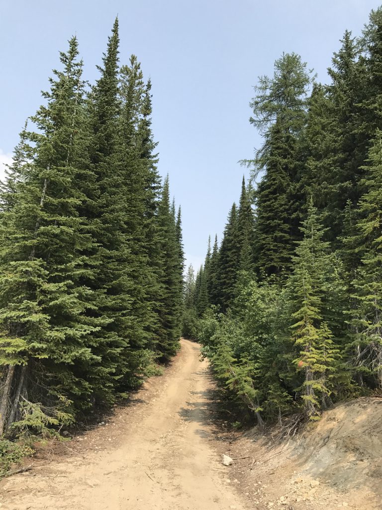
On US-95, take the Deep Creek exit about 2 miles south of Bonners Ferry (going north, this is shortly after the Mirror Lake golf course). Follow Deep Creek Loop westwards for 3 miles, then turn right onto Lions Den Road. After .6 miles Lions Den will turn into West Side Road at a right angle. Continue north for another 1.5 miles, then turn left onto Snow Creek Road #402 (Snow Creek is a gravel road with a fair amount of washboarding). Continue for 9.3 miles, then turn right onto #661 just before the Bottleneck Lake trailhead. Continue uphill for 2.5 miles, then take the road to the right (signed for the #236 trail). Follow it a very short way in and park at the fork. There is room for 3-4 cars. Alternatively, continue uphill for about a third of a mile (at the next fork take a right since the left is completely overgrown, then take a left at the next fork) to the trailhead. There is only room for one car and a high-clearance vehicle is advisable.
From the lower trailhead, follow the forest road uphill, taking a right at the first fork. There is a sign for trail #236 there, but the arrow has been blasted away. Taking a left follows an old overgrown logging road eastwards through an old clearcut now overgrown with larch saplings. It eventually ends and you’d have to bushwhack through the dense larch growth uphill towards the ridge, eventually emerging onto the forest road again. You could follow that east, but it also will end where the clearcut ends and a steep ATV trail heads uphill to the ridge where the single-track is. There are some nice views along this trail, but nothing better really than what you’ll get at the peak anyway and thus we don’t recommend this route.
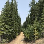
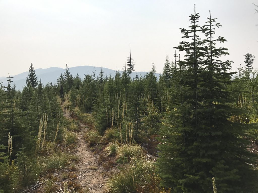
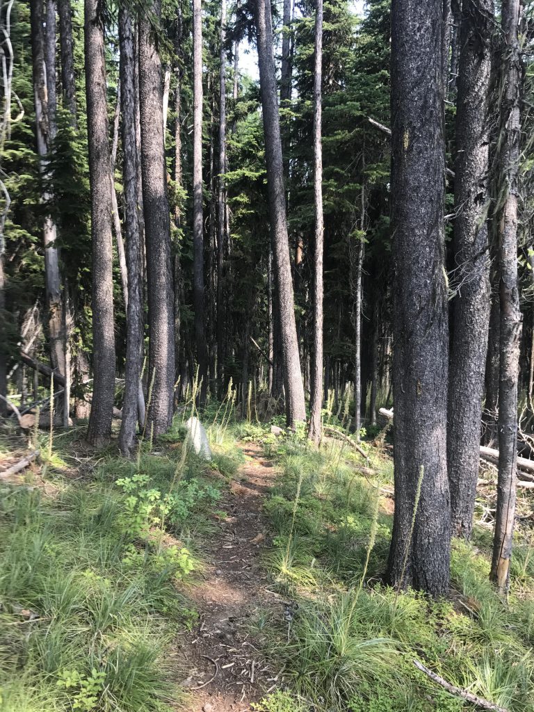
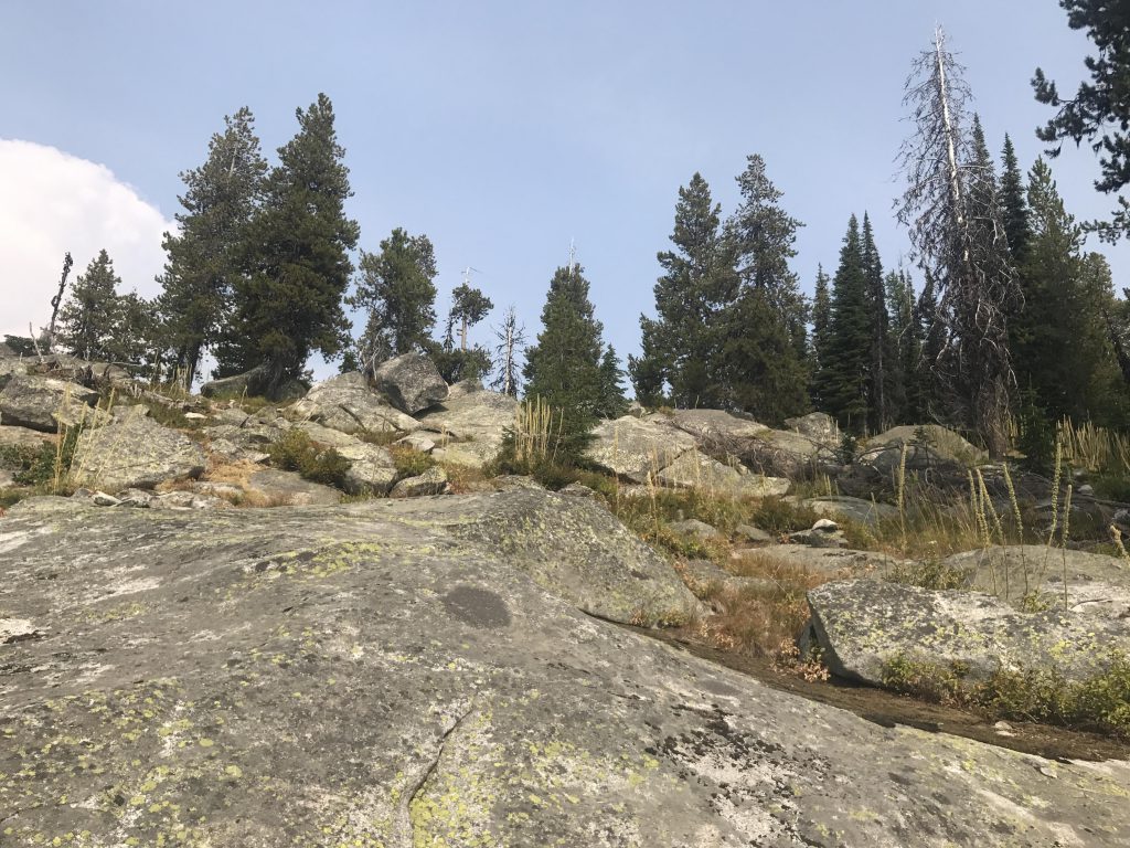
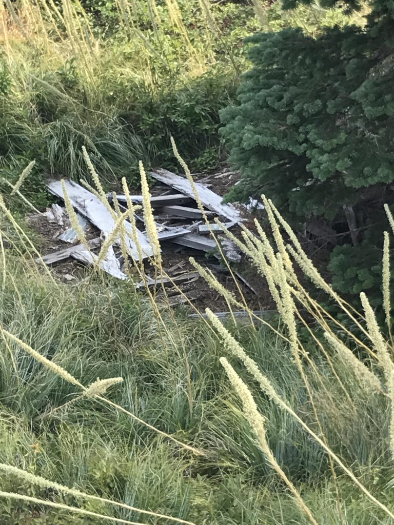
Instead, at that first sign with the blasted-away arrow continue right and uphill, eventually coming to another fork where you’ll take a left (sign and arrow here are intact). Shortly after you’ll end up at the official trailhead for trail #236. From this point it is one mile to the peak on a single-track that moves along the spine of the ridge through a clearcut densely covered with larch saplings. After a third of a mile the clearcut ends and the single-track enters a mature larch, pine, and spruce forest carpeted thickly with beargrass. The last quarter-mile gets a bit steeper as you emerge onto the bare granite slabs that make up Cooks Peak. A dilapidated log cabin that served the crew manning the lookout tower is slightly southwest of the peak. At the very top of Cooks Peak you’ll find the concrete footings and some cabling of the old lookout tower and a geocache. In theory, the views here are phenomenal, but on this day the haze from wildfires in Canada put the kibosh on that.
Alternate Routes
Things to Consider
Not so great
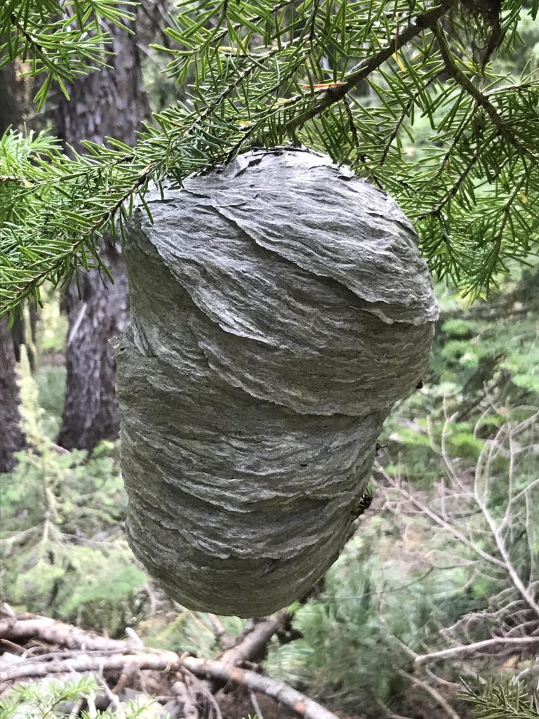
You can drive up this road for a third of a mile to the upper trailheadThe first portion of the trail leads through a clearcut densely populated with larch saplingsA singletrack rides the spine of the ridge to Cooks PeakWasp’s nest. Rather here than in my backyard…Cooks Peak is a slab of bare graniteDecaying guard shackInside of the guard shackThe privy already collapsedThere are a number of wildfires that limited views on this day. Otherwise views would be spectacularView out towards the Kootenai River Valley obstructed by a smoky hazeMountain viewUpper Trailhead
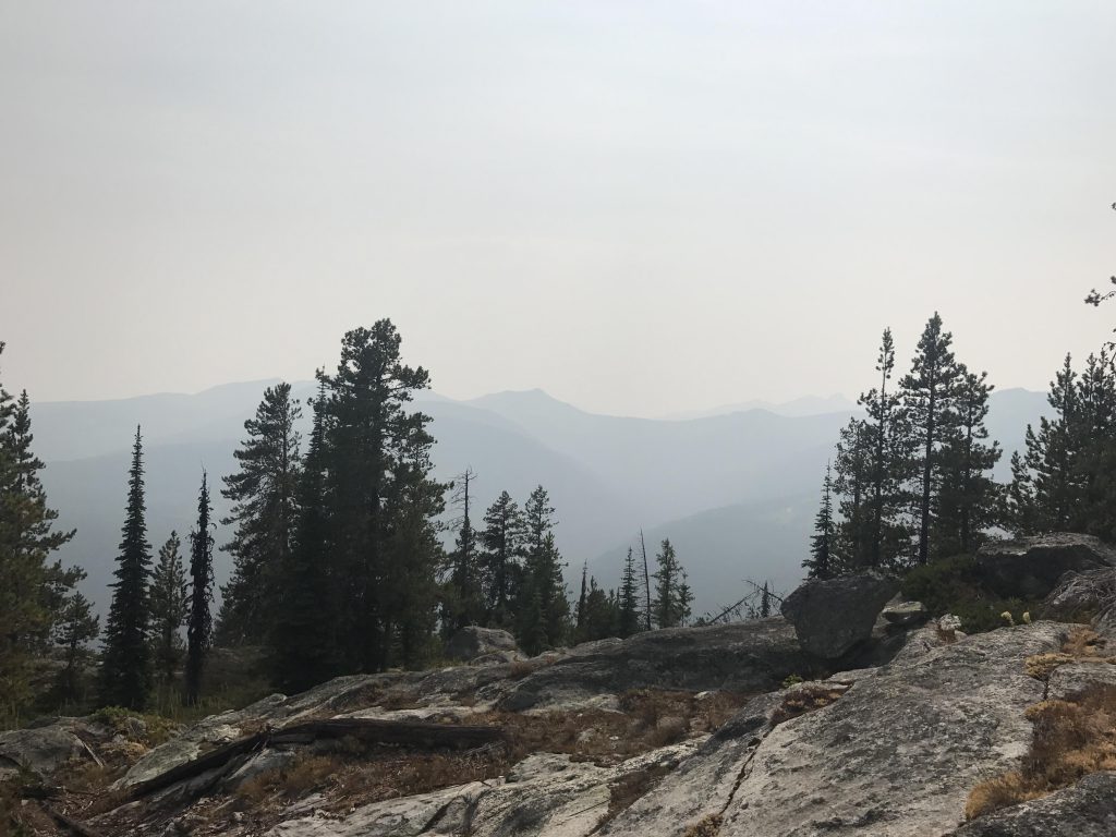
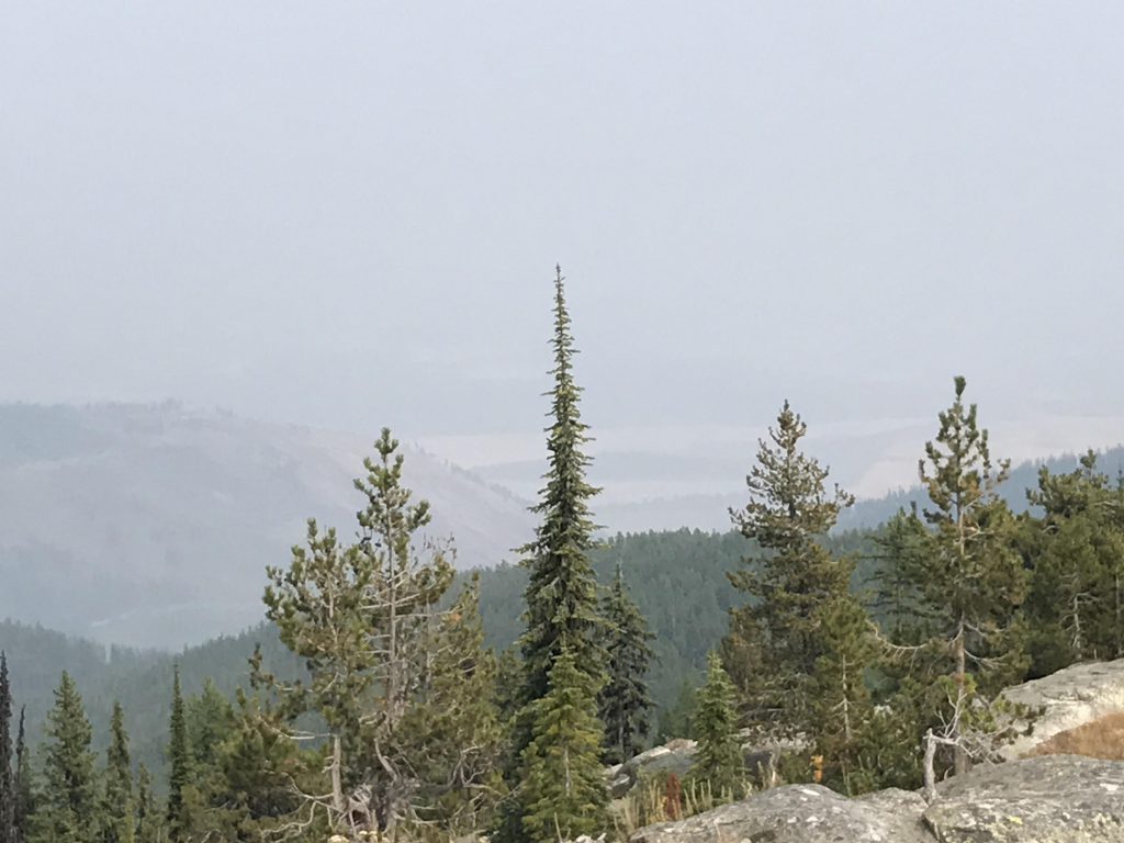
It is clearer here too, but the smoke is starting to slowly drift back in.
This smoke sure does spoil the views! I will be glad when this fire season comes to a end!
We had a bit of a storm on Sunday and it did clear up a bit around Coeur d’Alene. Keeping fingers crossed…
Huge wasp’s nest!!!
Humongous