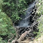
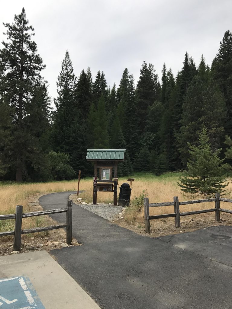
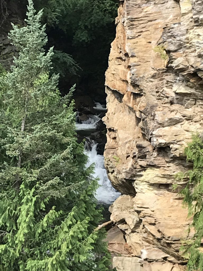
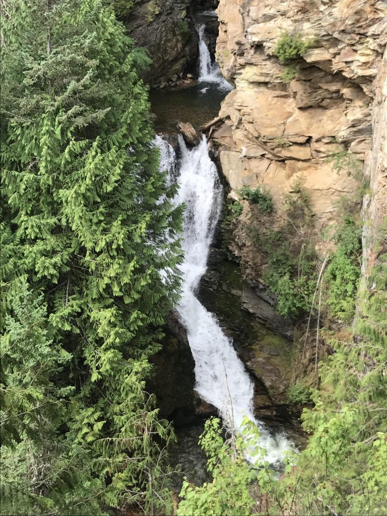
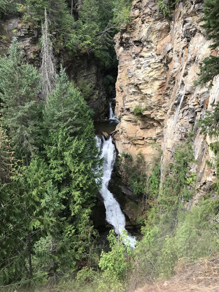
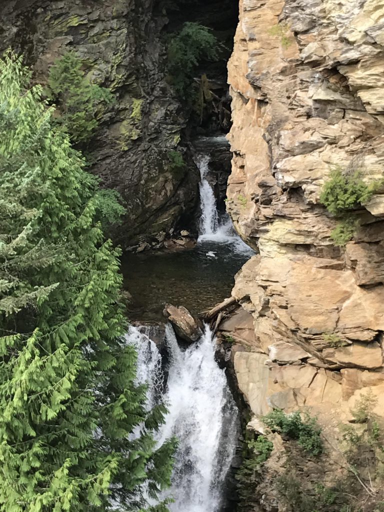
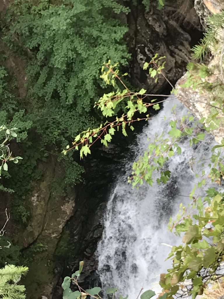
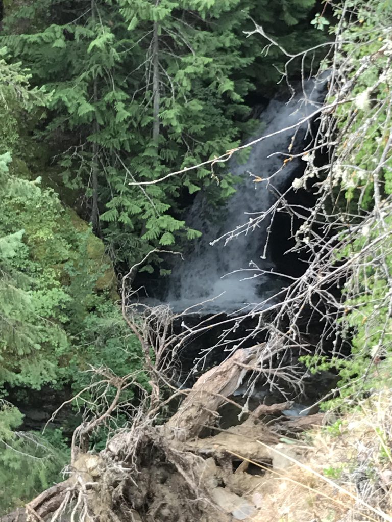
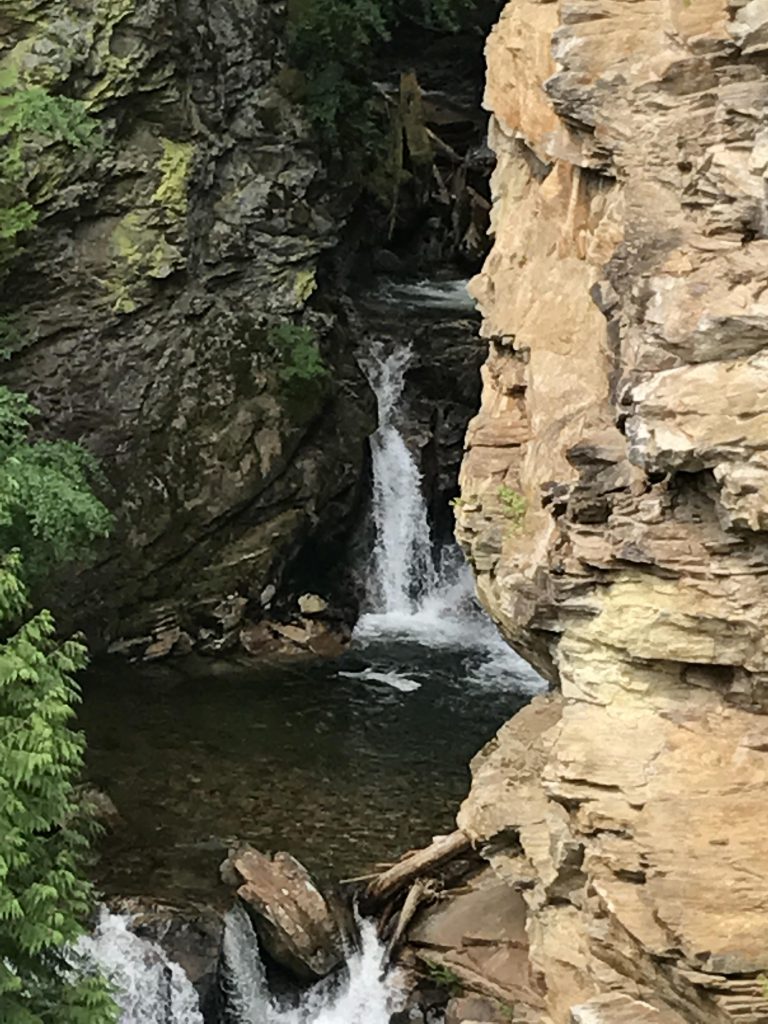
The trailhead to Myrtle Creek Falls is located just across the road from the Kootenai National Wildlife Refuge headquarters. A gentle trail switchbacks less than half a mile uphill to a viewpoint looking straight into the gorge and the cascading waterfalls.
Location
- Selkirk Mountains
Rating
2.4 out of 5
Difficulty
Moderate (some gentle uphill hiking)
Distance
1.1 miles
Duration
0:22 hours moving time (Hiking)
Elevation Gain
200 feet
High Point
2,041 feet (Overlook)
Low Point
1,800 feet (Trailhead)
Features
Outing Type
Trail Type
Trailbed
Asphalt, packed dirt
Trail#
Water
Camping
- None
Conditions
- Excellent
Administration
Status
Maps
USGSMoravia
Fees & Permits
Open To
Directions
Season
Year-around
Resources
Date
July 15, 2017
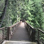
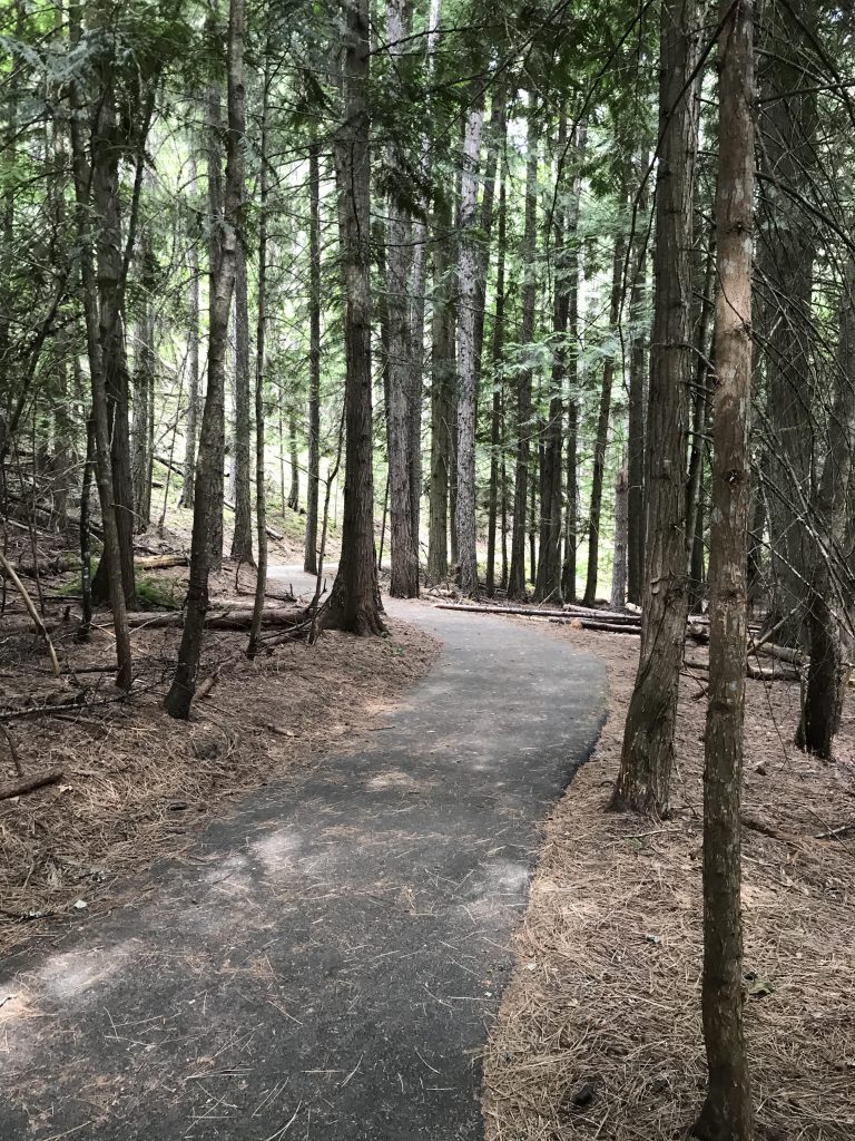
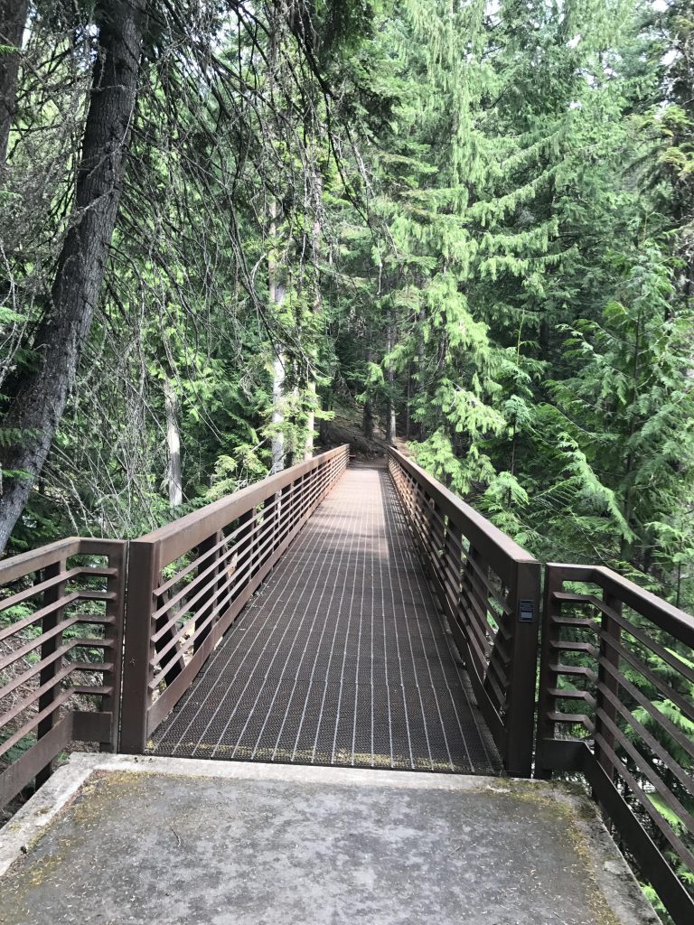
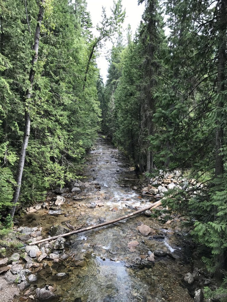
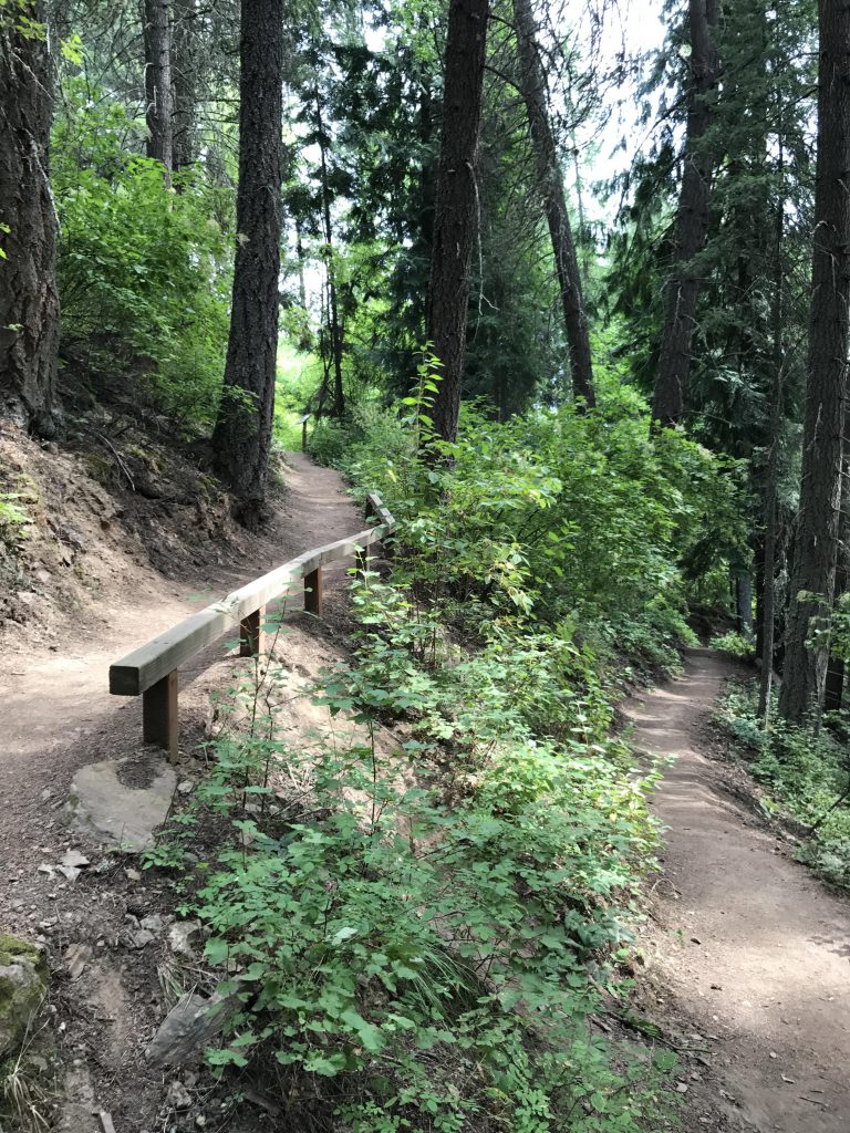
The first couple hundred yards of the trail, leading through a cedar grove to Myrtle Creek, are asphalt and handicapped-accessible. A new bridge spans the creek and then the packed-dirt single-track switchbacks gently uphill to a viewpoint with excellent views of the gorge and the plunging waters.
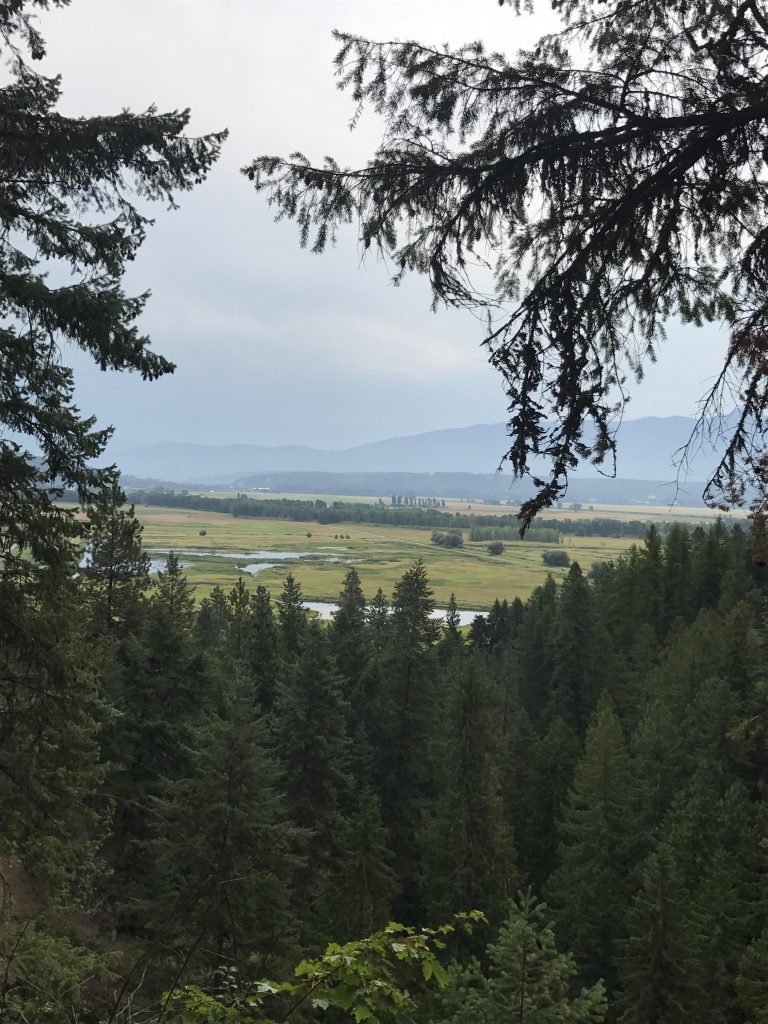
A web of trails leads further uphill, above the falls, but the views really don’t get better up there. The drop-offs are extremely steep and the creek is hidded behind a curtain of shrubs. The view of the Kootenai River valley, however, is nice.
Alternate Routes
Things to Consider
- Spend some time at the Kootenai National Wildlife Refuge, home of 45 species of mammals and more than 230 birds.
Not so great

© 2016 – 2026 NaughtyHiker. All rights reserved. No duplication without permission.
The Panhandle Chapter of Trout Unlimited hosted students from the Clark Fork HS Great Outdoors program for a fly fishing activity at the refuge recently. The highlight of the fish habitat / stream exercise included a hike to Myrtle Falls. The falls were spectacular during spring runoff and we’ll worth the short hike.
NH, thanks for documenting this natural wonder if Boundary County.