- Coeur d’Alene Mountains
- Lower Blossom, Upper Blossom, Pear Lakes
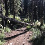
- Excellent, except for the Glidden Creek trail, which is riddled with downed trees, and the pipeline portion is a bit of a bushwhack.
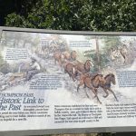
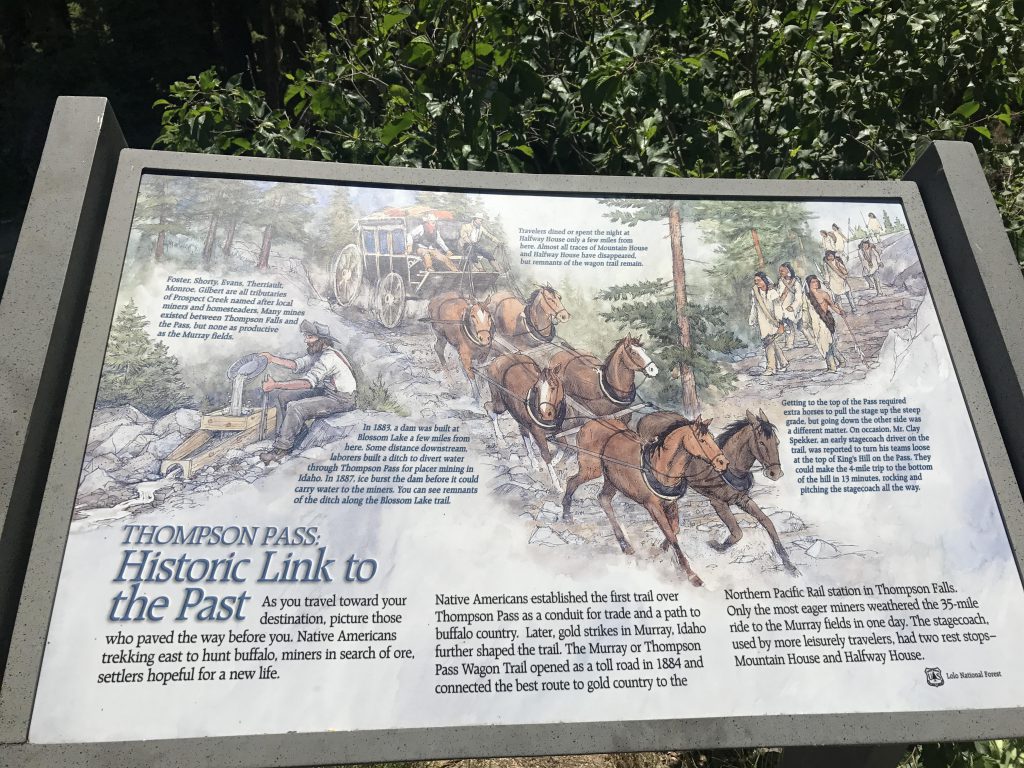
The trail starts at the east end of the parking lot, near two interpretive signs explaining the region’s history and wildlife. The short of the history is that in 1883 a dam was built at Lower Blossom Lake and Chinese laborers dug a ditch all the way to Thompson Pass to supply the placer mining industry in Idaho with water. Alas, ice burst the dam and the canal was never put to use.
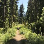
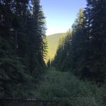
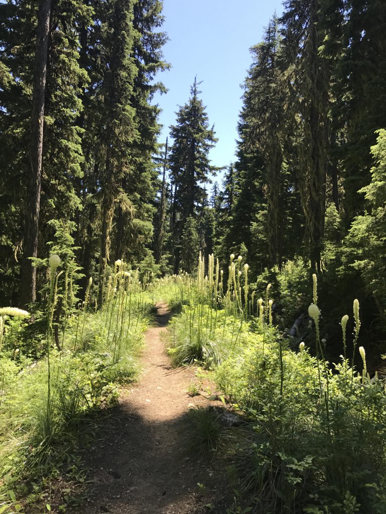
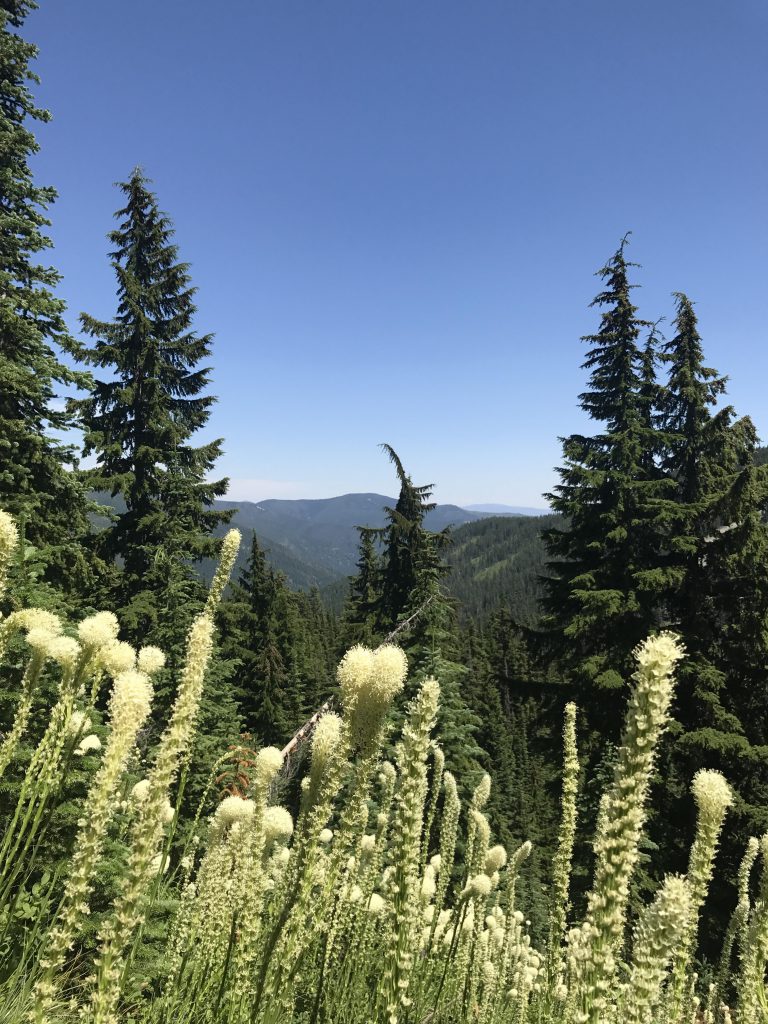
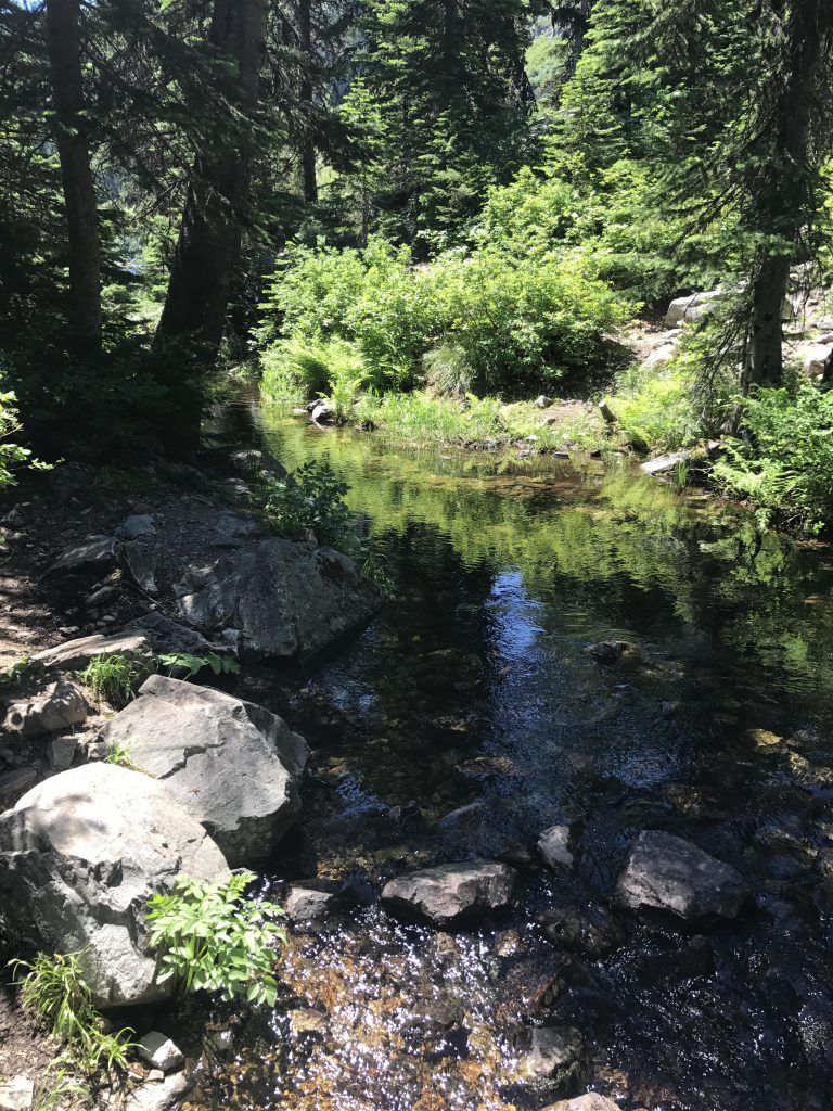
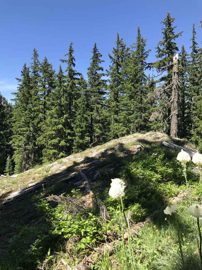
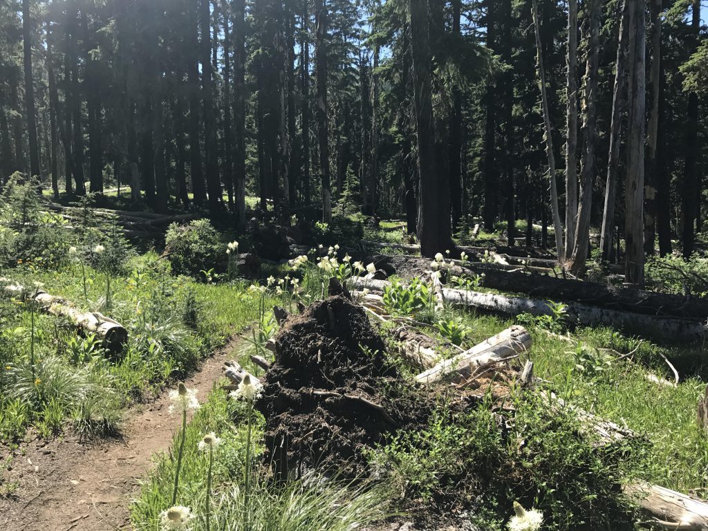
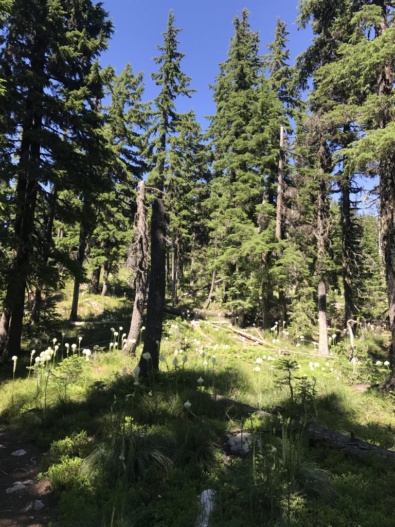
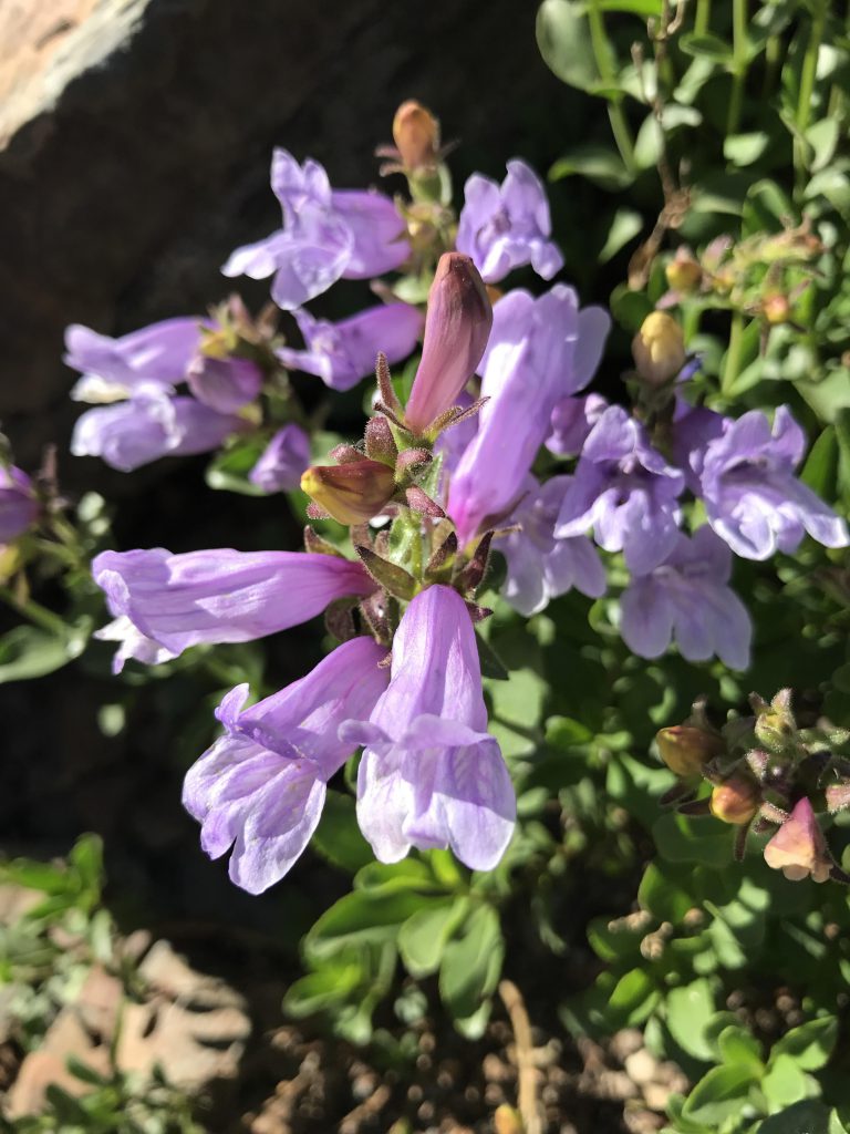
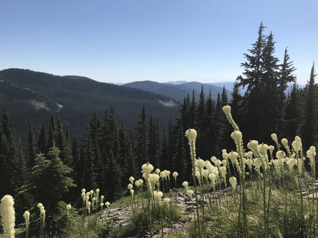
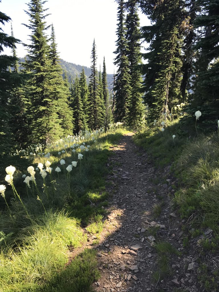
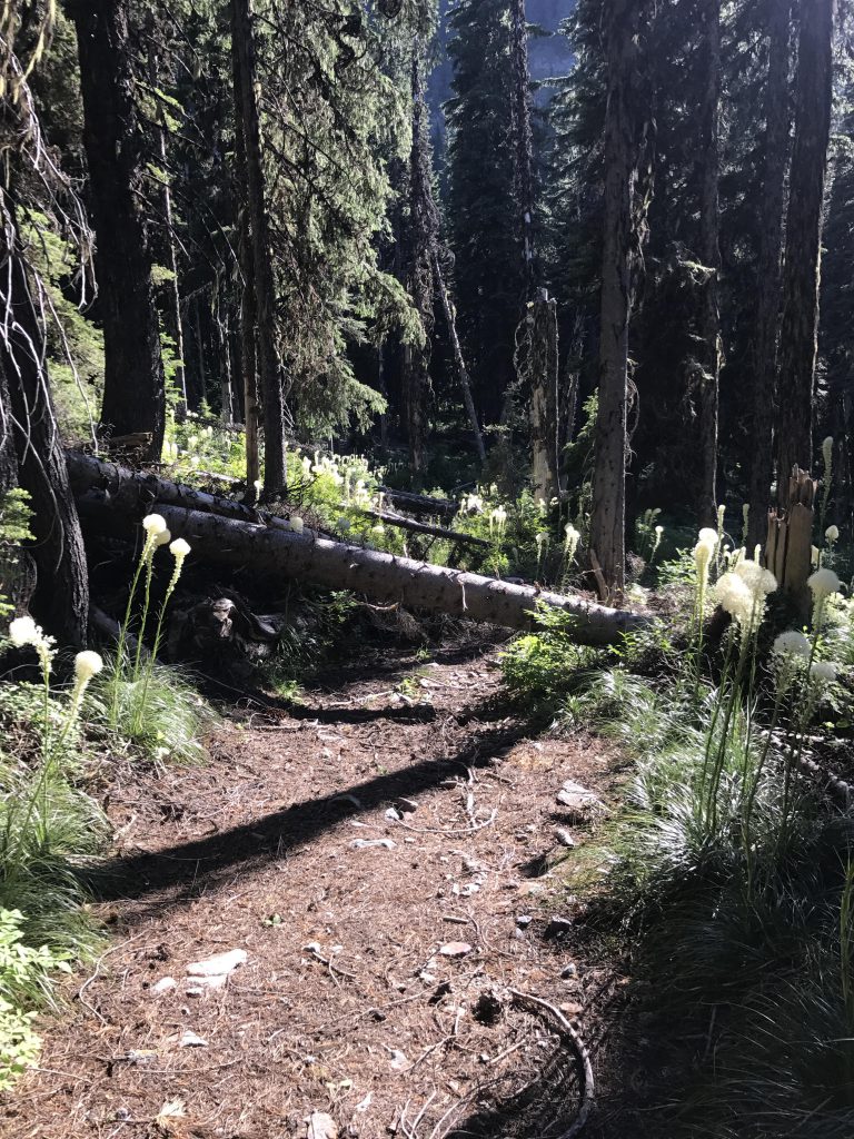
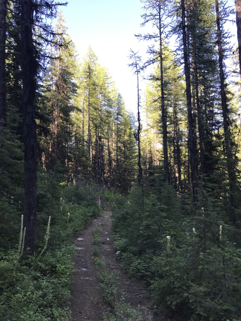
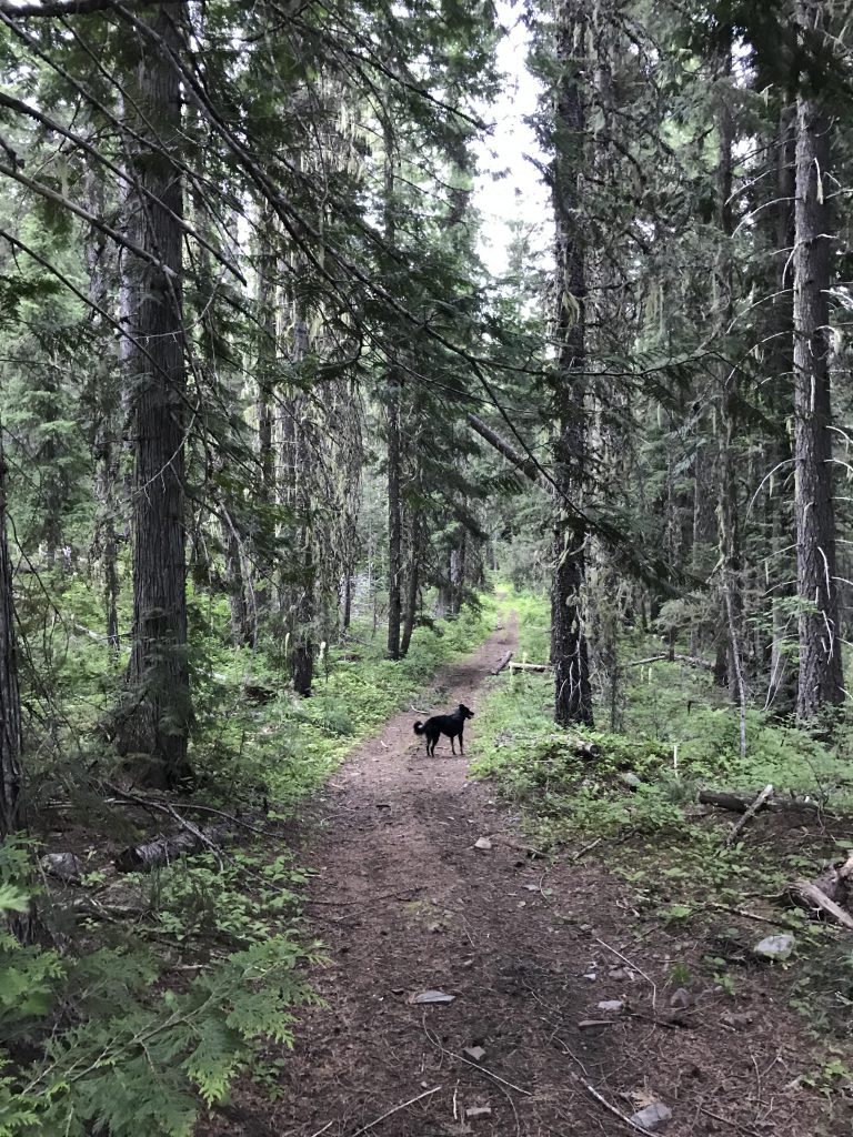
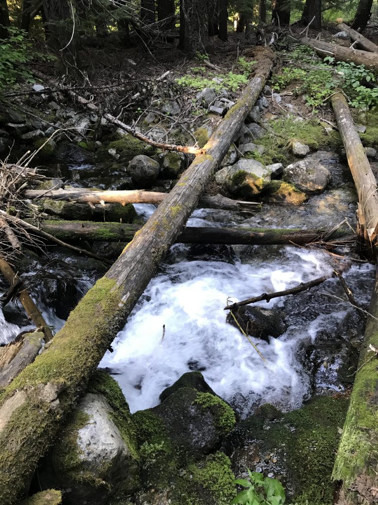
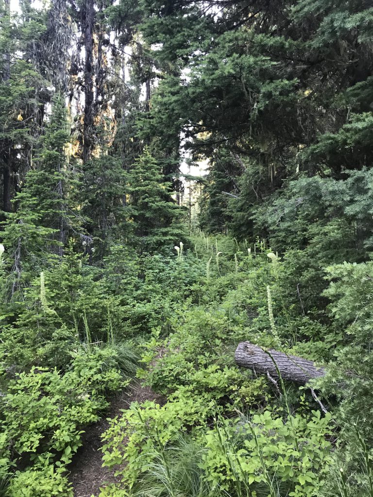
The trail (#404) follows the canal for a few miles through a pretty forest of fir and larch, interspersed with beautiful wildflowers, most prominently beargrass. It steadily gains altitude, at some point abandoning the canal only to pick it up again later. Less than a mile from the trailhead you get to a fork, where you take a right (the left branch leads to FH9; you’ll return that way). Just before the 3-mile mark the trail reaches Prospect Creek, the first source of water, and after a short uphill hike emerges onto Lower Blossom Lake.
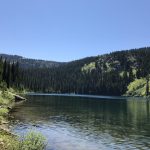
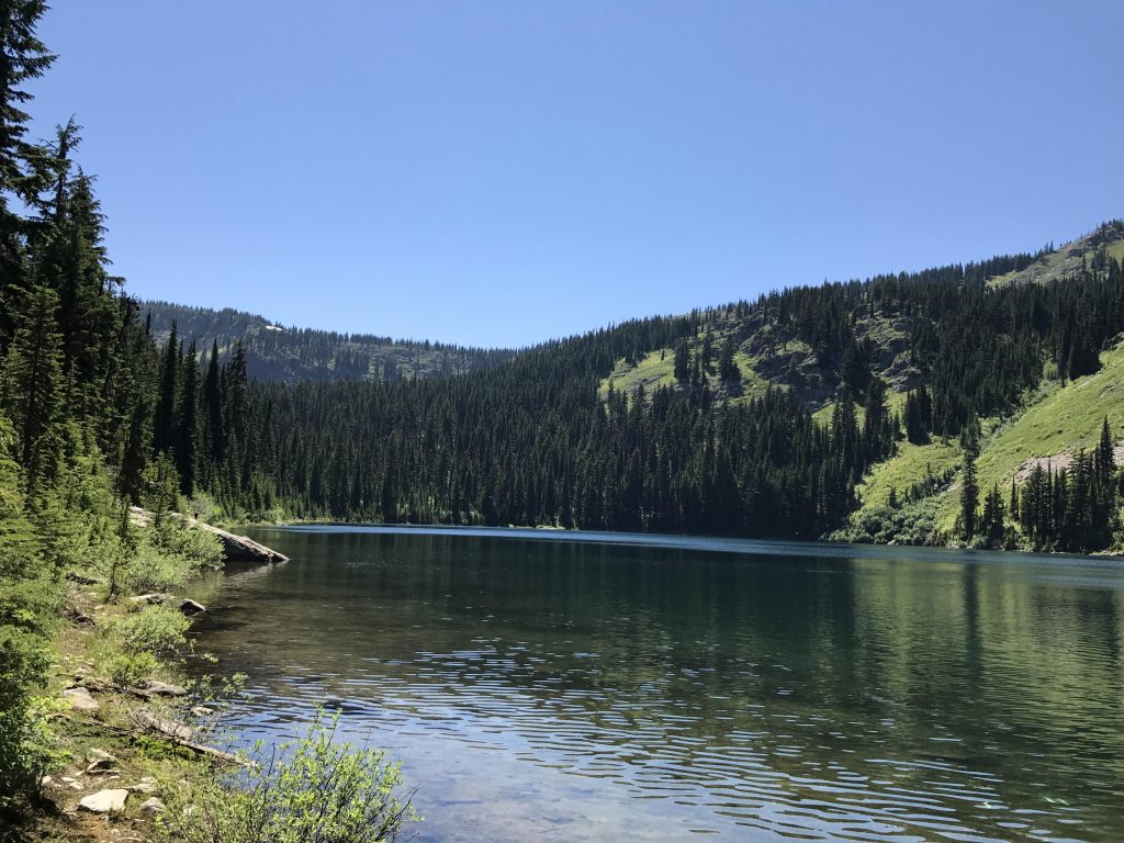
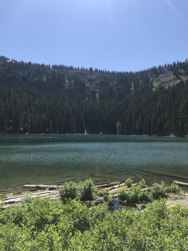
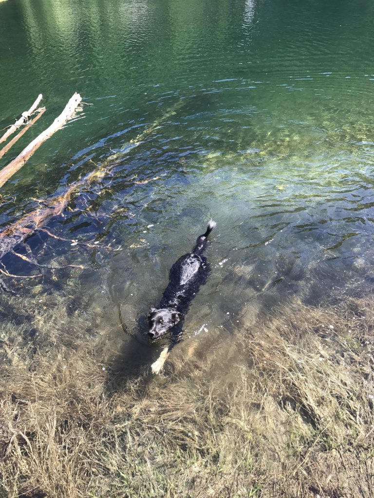
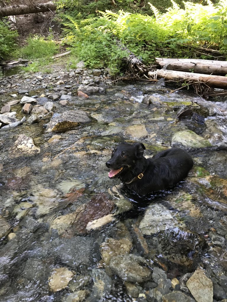
Lower Blossom Lake offers a number of campsites, particularly along the northeastern end, and many of them were taken. The lake was pleasant to swim in, not too cold now that the snow melt was over. Afterwards, we did a bit of exploratory hiking along the eastern shore of the lake, but the path–little more than a game trail to start–eventually just peters out.
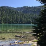
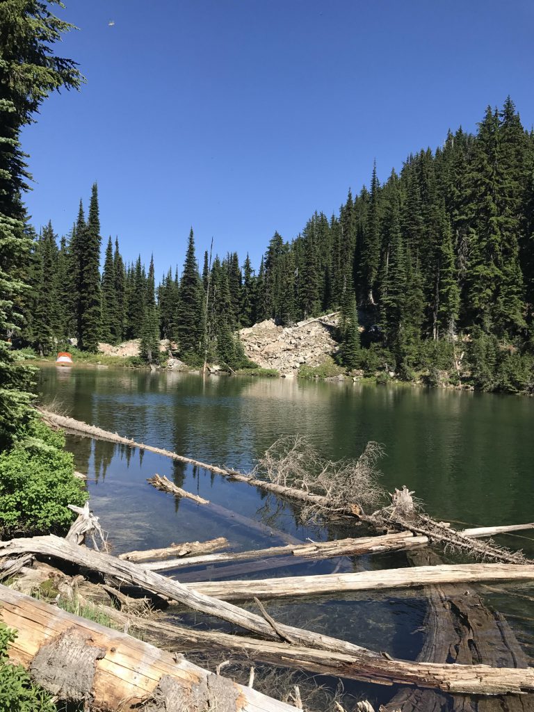
Continuing uphill on #404 you get to a fork around the 4-mile mark, where the right branch leads you to Upper Blossom Lake in just over half a mile. Upper Blossom is an equestrian camp and very buggy. Quite picturesque, though, but not as inviting for a swim as Lower Blossom was. A few campers lingered lazily around their tents in the hot afternoon sun, evidently as little interested in a swim as we were, but no horses were present.
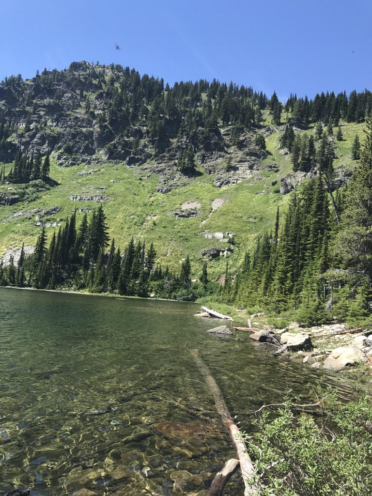
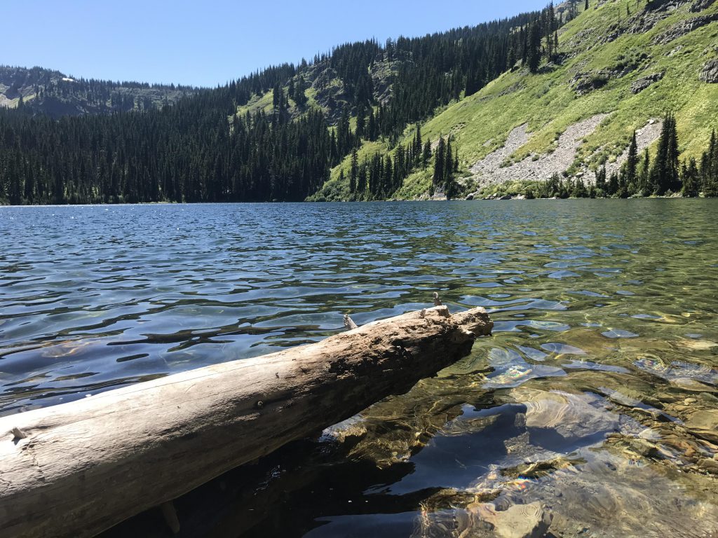
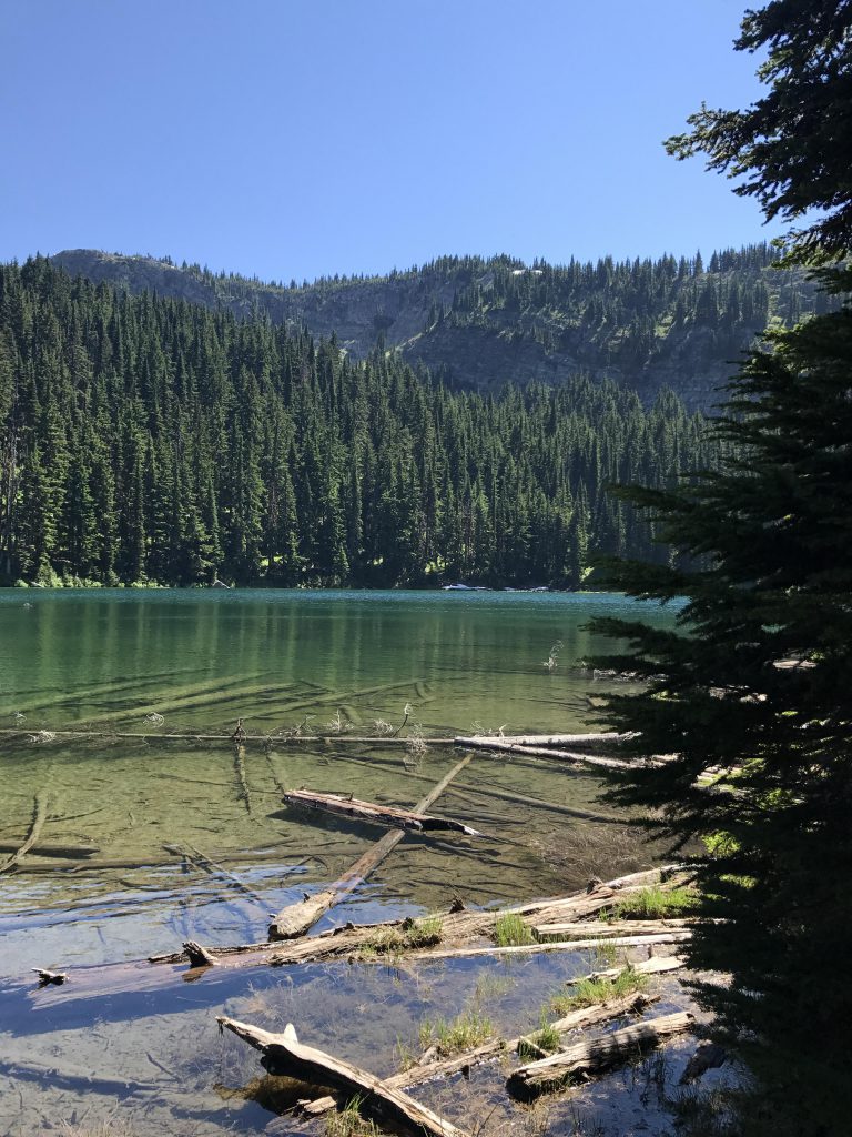
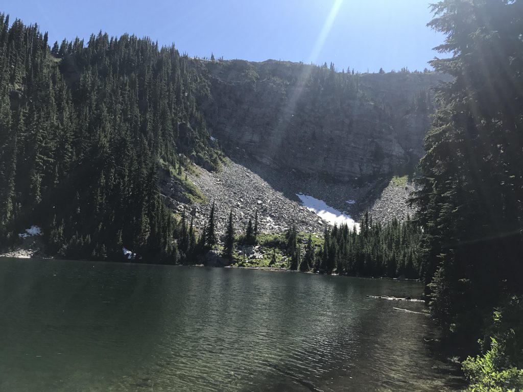
We moved on, back to the fork, and then onward towards Pear Lake, crossing a few remaining snow patches. Pear Lake huddles in a cirque beneath a sheer 500-foot cliff wall and just begged for a swim. We obliged, the water being quite pleasant and refreshing. There were campers at this lake, too, and they told us the secret to fresh water: crossing a rockslide to the east you get into a dry creek bed, follow that downhill for a bit and, ta-da, fresh, cold water springing right out of the ground. Perfect!
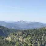
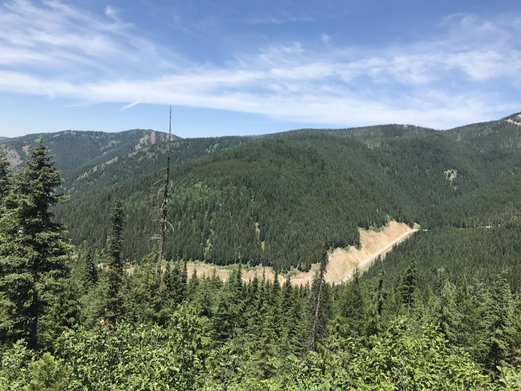
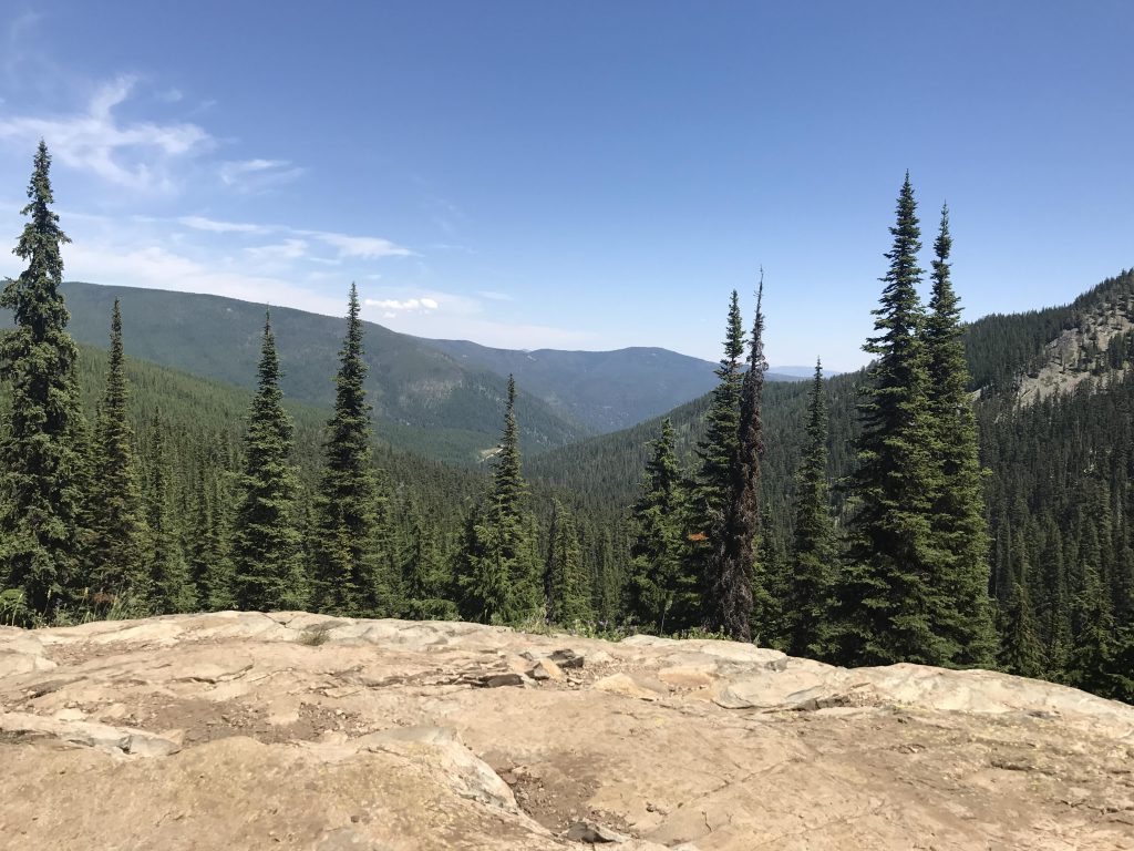
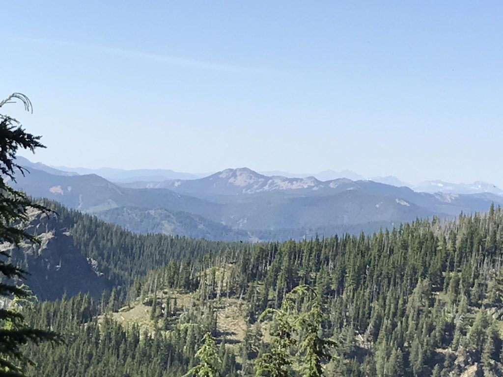
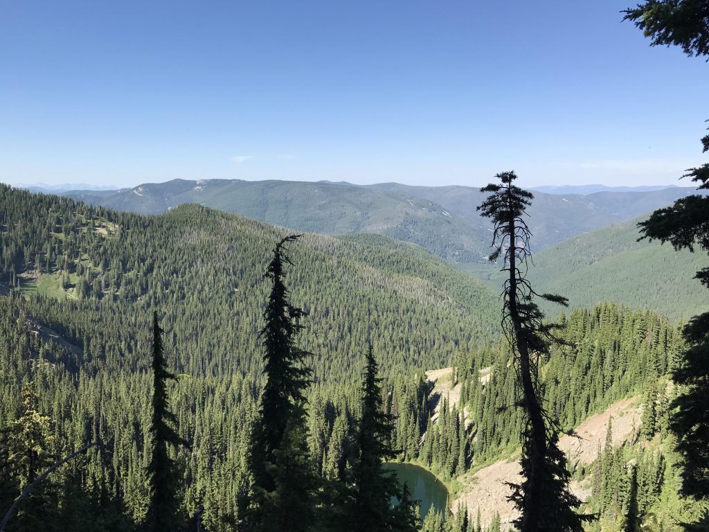
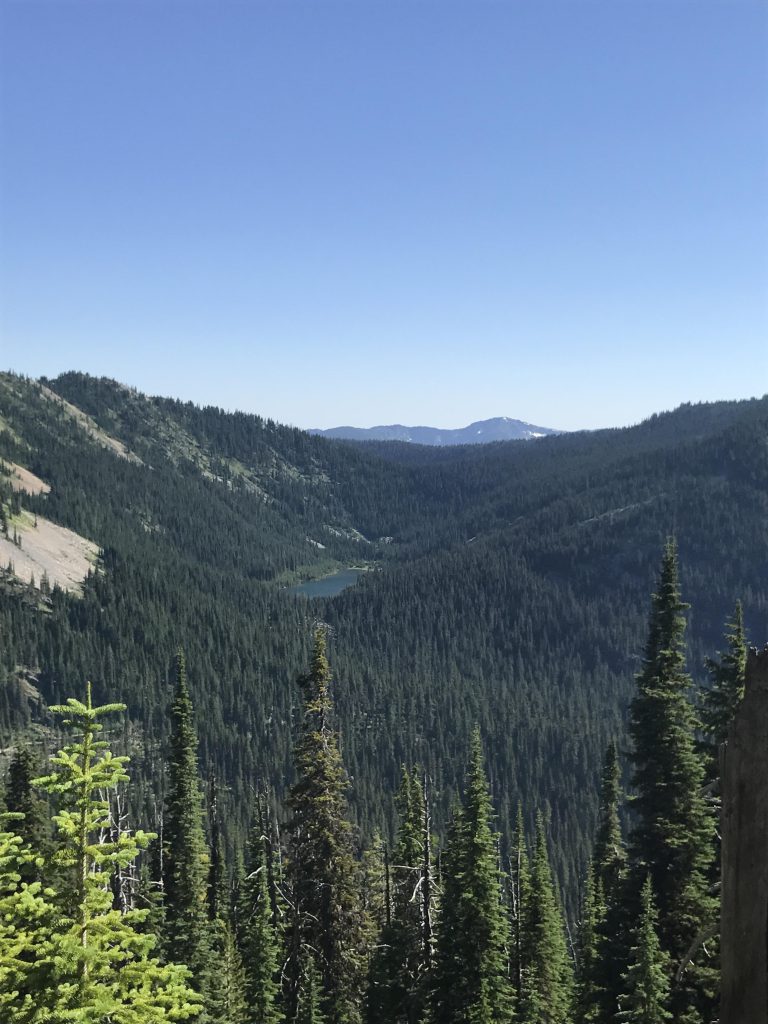
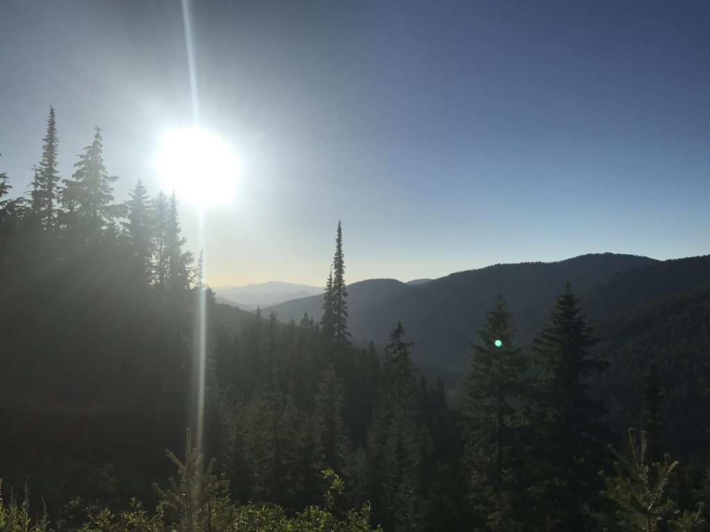
Next it’s uphill using a few switchbacks to the stateline ridge and its amazing views. The trail follows the ridge, alternately serving up sweeping views of Montana (especially at first) and Idaho (especially towards the end). At one point we spotted a small unnamed lake far below on the Montana side, while the Idaho side, across the valley, presented Lower Glidden Lake and the Upper Glidden Lake basin.
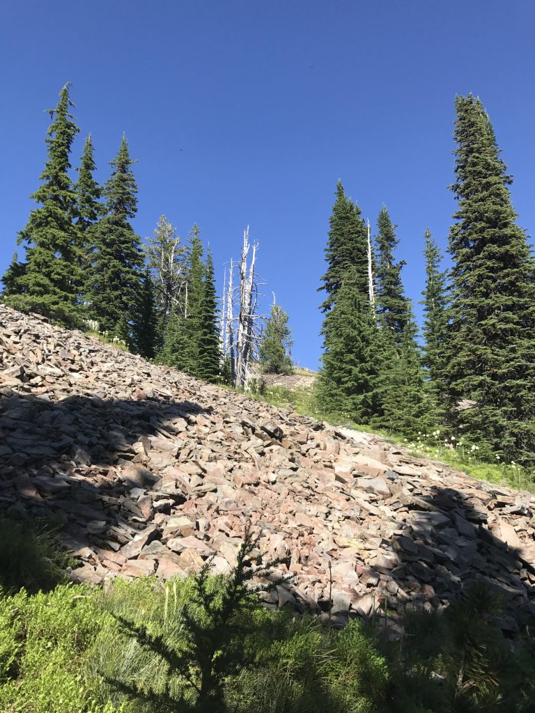
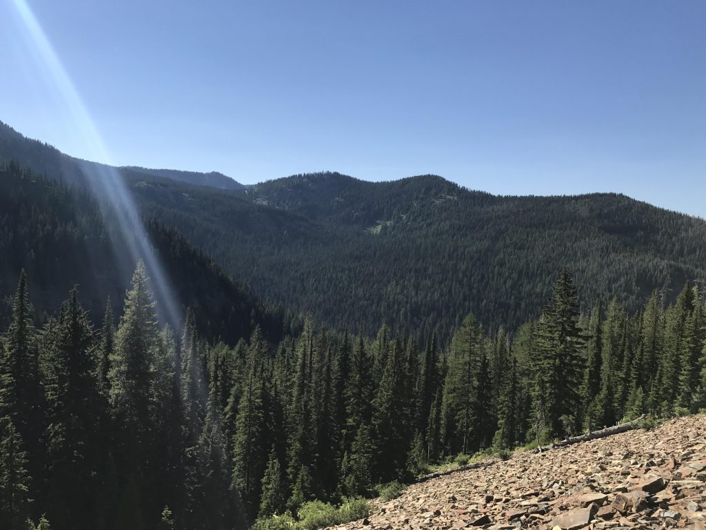
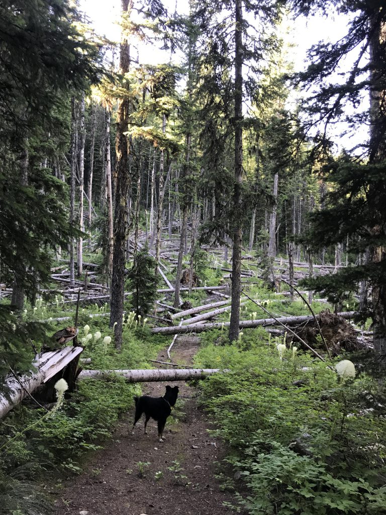
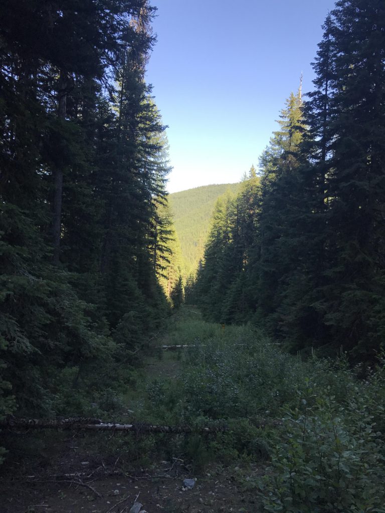
Around the 8-mile mark (our GPS lost connectivity for about a mile, so the measurements are approximate), you get to the intersection with the Glidden Creek trail #701. This is really an old Jeep road, at first very easy to traverse with nice views into Montana and the area just traveled. Soon, however, you’ll run into an ocean of downed trees. We must have scrambled over a hundred or more trees! Luckily, it gets better once you cross Glidden Creek, with only one really bad patch ahead. Then it’s smooth sailing all the way to FH9 around the 12-mile mark.
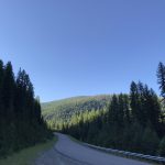
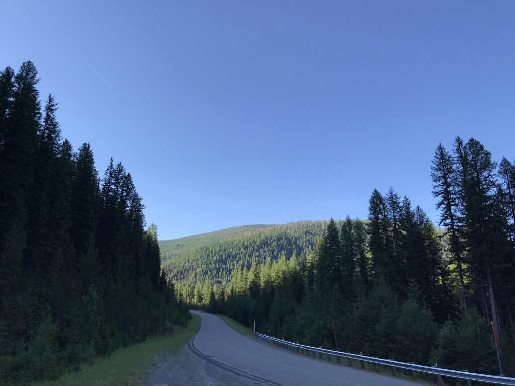
Here you have to decide. Option A is hiking uphill along FH9, which has a nice and wide, cleared shoulder. Option B is to follow the “trail” on the map to the Historic Halfway House where the stage coach stopped during the Gold Rush days. We opted for B and perhaps that wasn’t the best choice. That became obvious when we had to look for the trail immediately after crossing FH9. On the bright side, the area had been logged and thus lacked downed trees. This, however, was offset by a dense growth of fir saplings. Nevertheless, we made pretty good time to Prospect Creek, where the trail disappeared completely. We bushwhacked across the creek and up the other side to the location of the Halfway House.
Long story short, there is no Halfway House, no structure at all, no road, no trail, or anything of the like. But, there is a buried petroleum pipeline that leads uphill in a straight line and has been cleared of trees. We used that until we once again met up with FH9 about a mile since initial crossing. Continue on FH9 for just a short stretch, then head into the woods to the southwest, picking up the old #404 trail (it is signed). Follow this to the new #404 trail, and then along the unused canals back to the car.
Alternate Routes
- Lower Blossom Lake (the nearest lake) is about 6 miles roundtrip
Things to Consider
Not so great
Thanks! I appreciate the feedback. It’s a nice place to hike when it’s hot…
Nice series of photos and very good narrative!