This trail crosses numerous flower-studded subalpine meadows to a popular peak overshadowing Revett Lake and offering great views across or into the Coeur d’Alene, Cabinet, and Bitterroot Mountains. Plus, most of the elevation gain is done in the car. If you miss the summer wildflower display, as we did, console yourself with generous helpings of absolutely delicious huckleberries!
Location
Coeur d’Alene Mountains
Rating
3.3 out of 5
Difficulty
Moderate (some uphill hiking)
Distance
9.2 miles
Duration
3:24 hours moving time (Hiking)
Elevation Gain
2,197 feet
High Point
6,829 feet (Granite Peak)
Low Point
5,568 feet (Tamarack Saddle)
Features
Meadow
Mountain
Outing Type
Daytrip
Trail Type
Out-and-back
Trailbed
Packed dirt, loose rocks, talus, logging road
Trail#
137
Water
None
Camping
None
Conditions
Good. The tread is perhaps a bit thin in some of the meadows.
Administration
Coeur d’Alene National Forest
Status
Unprotected
Maps
USGS
Burke
Fees & Permits
None required
()
Open To
Hikers
Dogs
Horses
Mountain Bikers
()
Directions
Here are the official directions per the forest service: “From Wallace, Idaho travel north 7.2 miles on Forest Road 456 (FR456) to Dobson Pass. At the pass, turn right on Sunset Peak Road. Travel east 4 miles to the Sunset Mine. Take the upper road along the north edge of the mine .5 miles to Tamarack Saddle. At the saddle, go right (east) along a well-defined road. Follow the trail signs. There is a trail sign next to the Soil Conservation Service snow course. The trailhead begins to the left, off an old mining road.”
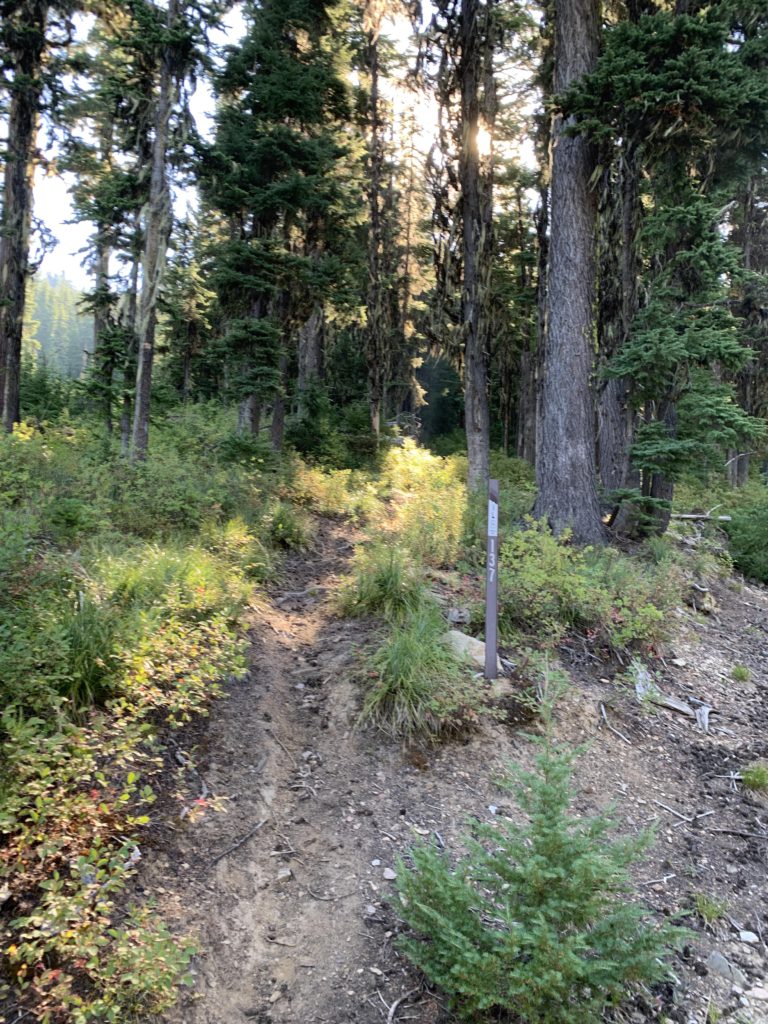
Instead, we took a shortcut through the superfund cleanup site on East Fork Ninemile Creek. This is only accessible during the weekend, when the construction equipment is not operating: From Wallace, take Ninemile Road (FR-456) north for 3 miles, just past Blackcloud. Take the unmarked gravel road to the right that follows East Fork Ninemile. After 2 miles, turn right (the better road, probably signed “Road Closed”) and cross Ninemile Creek. Follow the road for another 4 miles uphill, always taking the better road at the many, many forks. There is one spot, about 4 miles from FR-456, that is a bit iffy; take a left. The last mile is quite bumpy. Once you get to Tamarack Saddle, turn right (there is a white X painted on a tree) and follow that road for a few hundred yards or so. There is no parking at the trailhead, so you may as well park in one of the many abandoned forest roads heading off left and right and walk from there. The trailhead is rather inconspicuous, with only a marker indicating “137”. It moves uphill to the left. Here is a GPX version of these directions: https://www.gaiagps.com/public/AmvchDwis6Z39HR14Lx8q0Rx
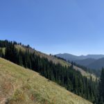
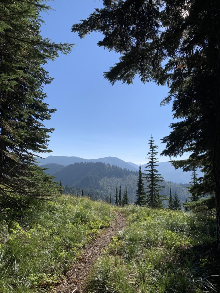
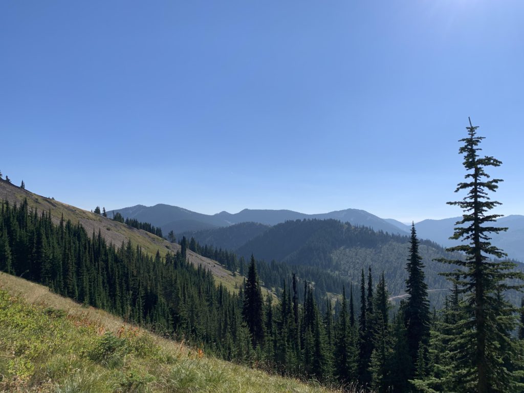
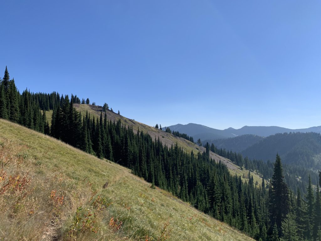
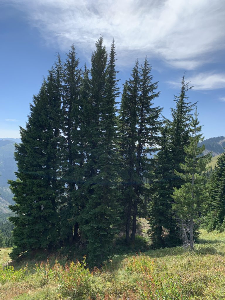
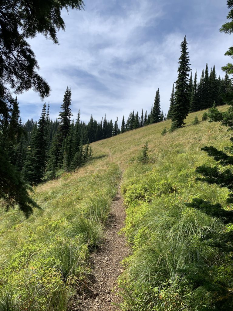
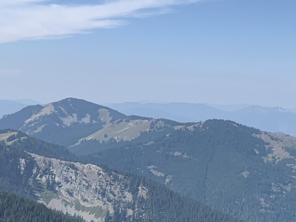
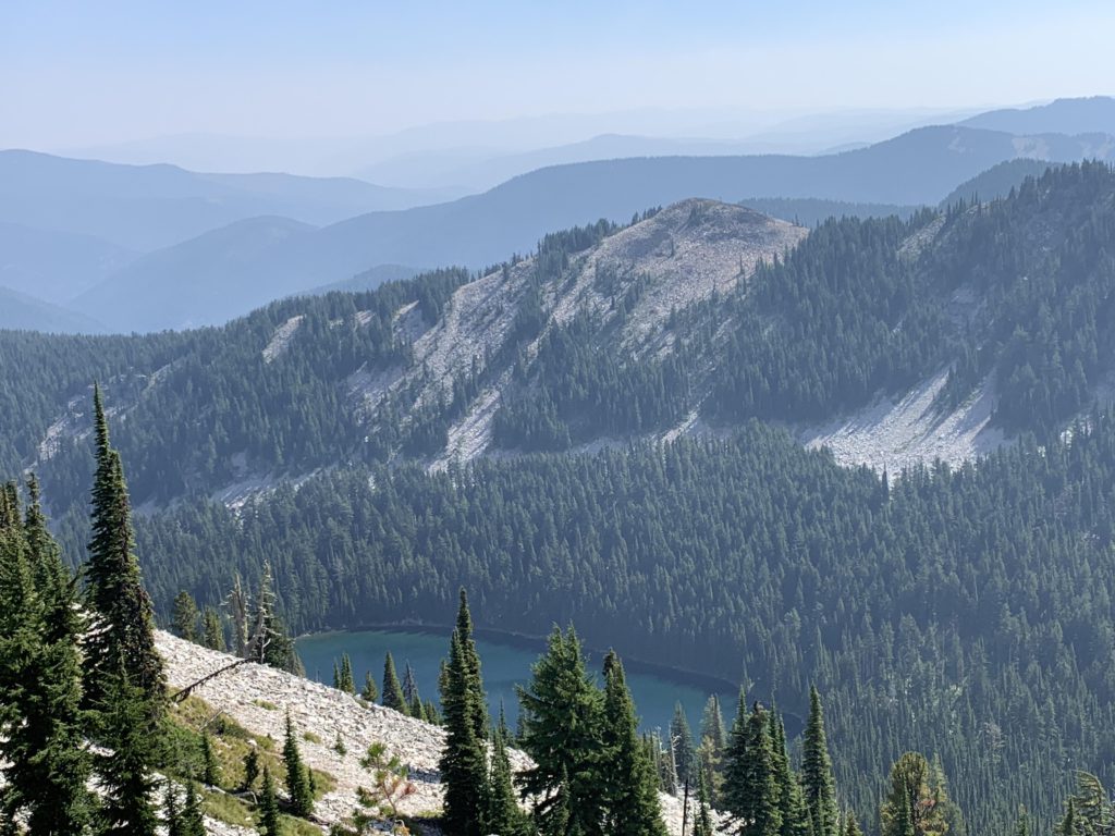
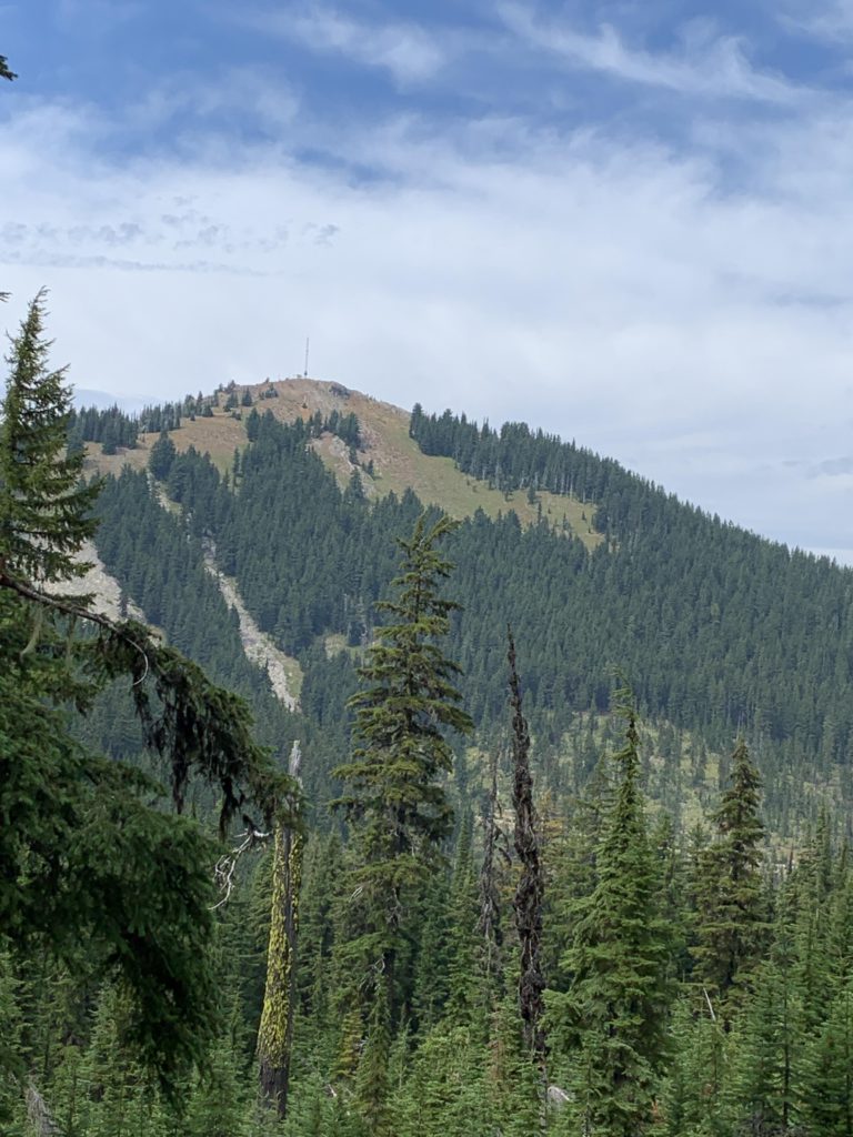
The trail immediately climbs through fairly dense woods, past the remnants of a mining cabin–there is nearly nothing left, the most notable remains are the tailing piles–and crosses a forest road. After a bit over a mile, the trail emerges on a saddle and the forest immediately gives way to broad, steep meadows that probably are wonderfully colorful with wildflowers in July. The view here is fantastic, too, and you get to see the ridge you will traverse on the way to Granite Peak. Crossing the meadows makes for easy hiking amidst constant views and a steady breeze. Don’t forget to look back up to the saddle and Tiger Peak to its left.
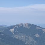
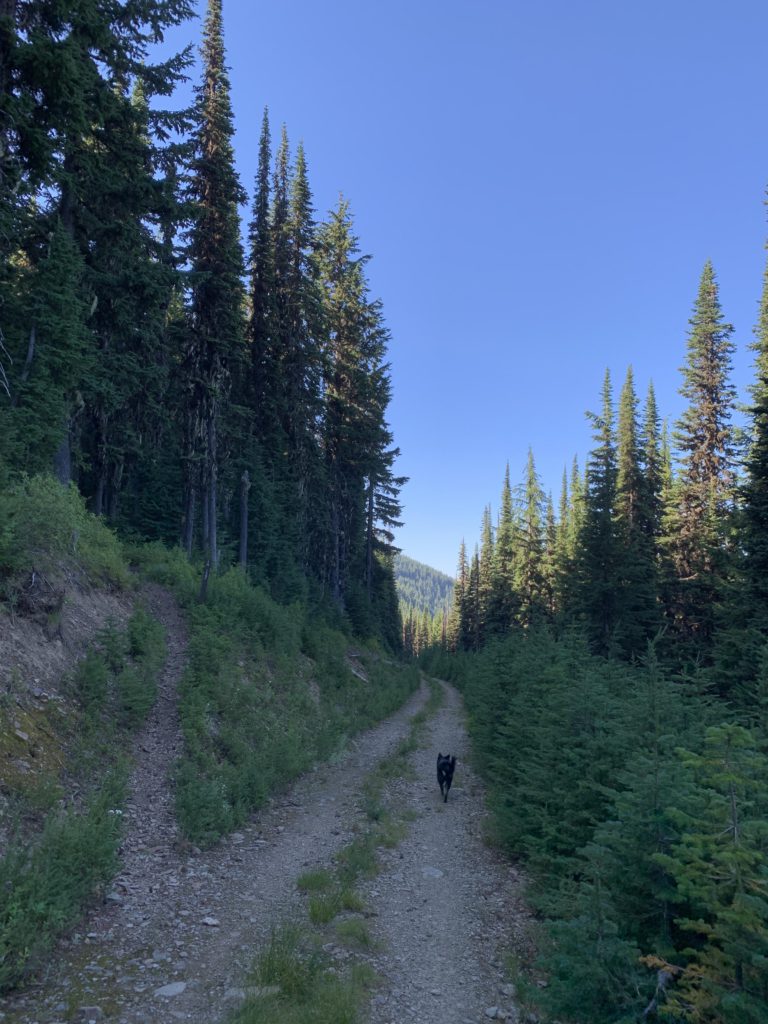
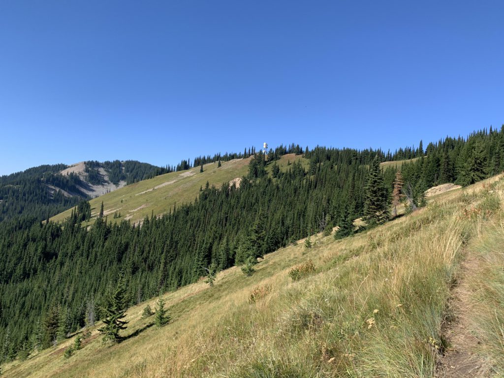
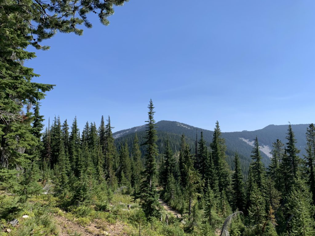
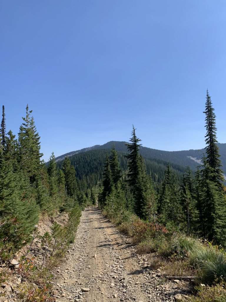
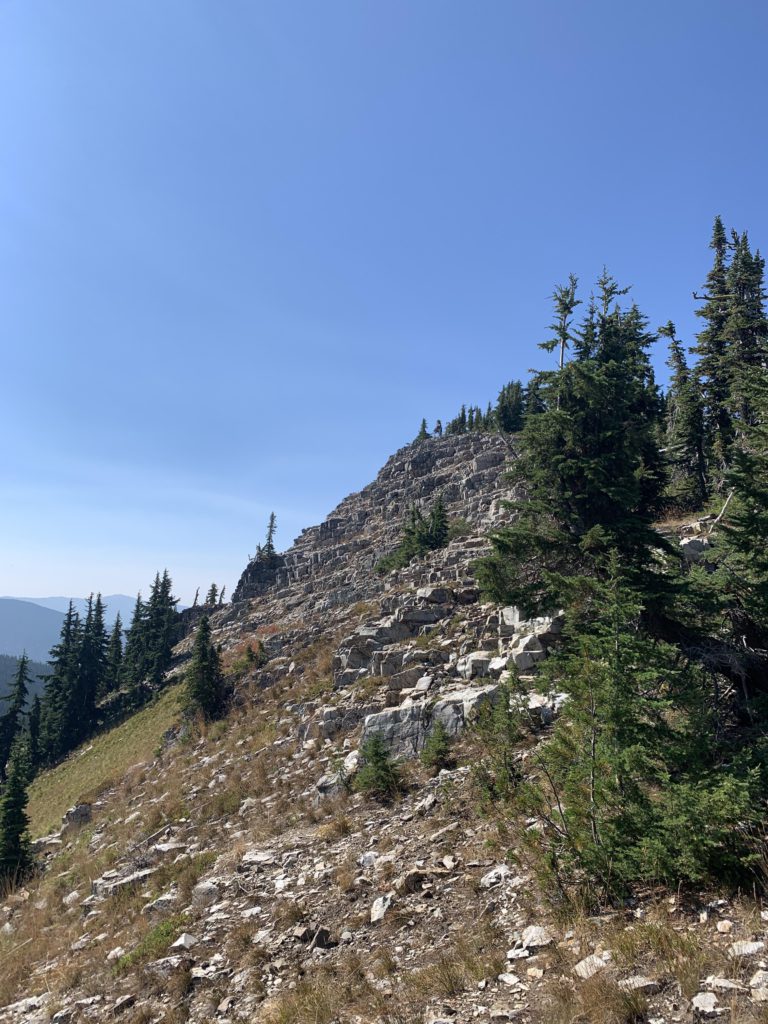
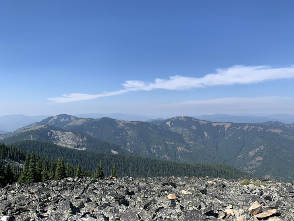
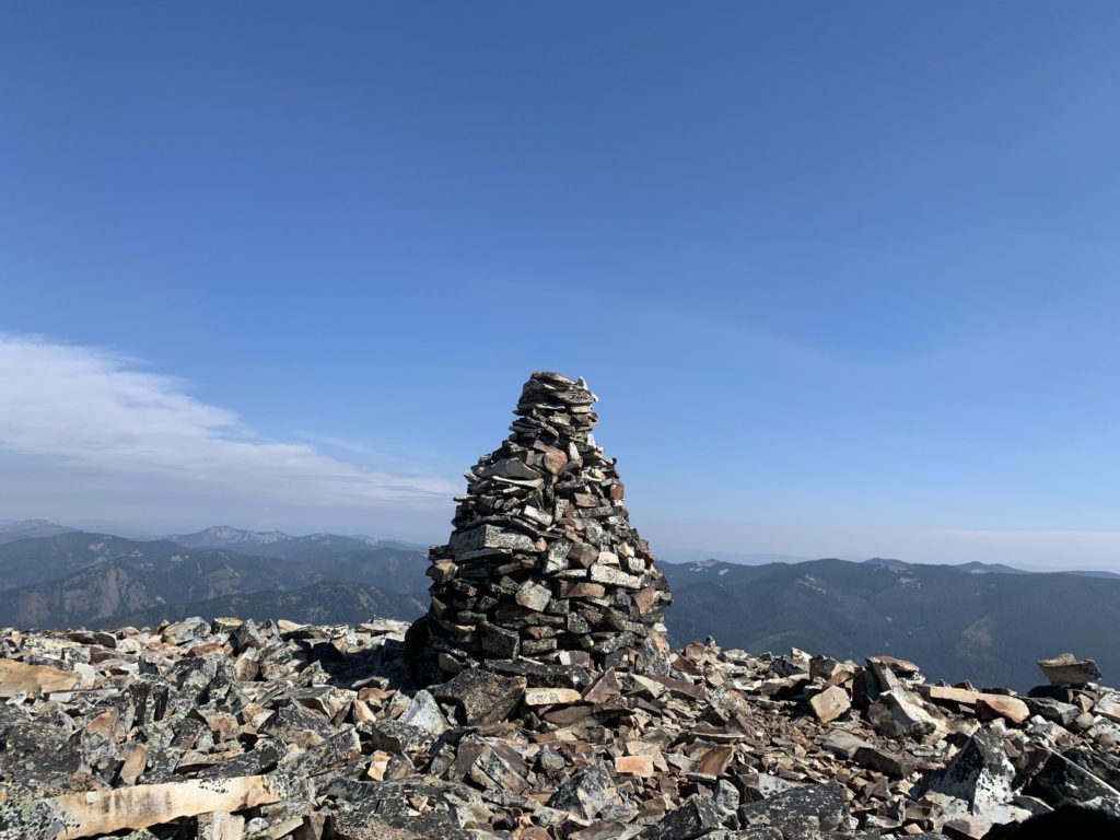
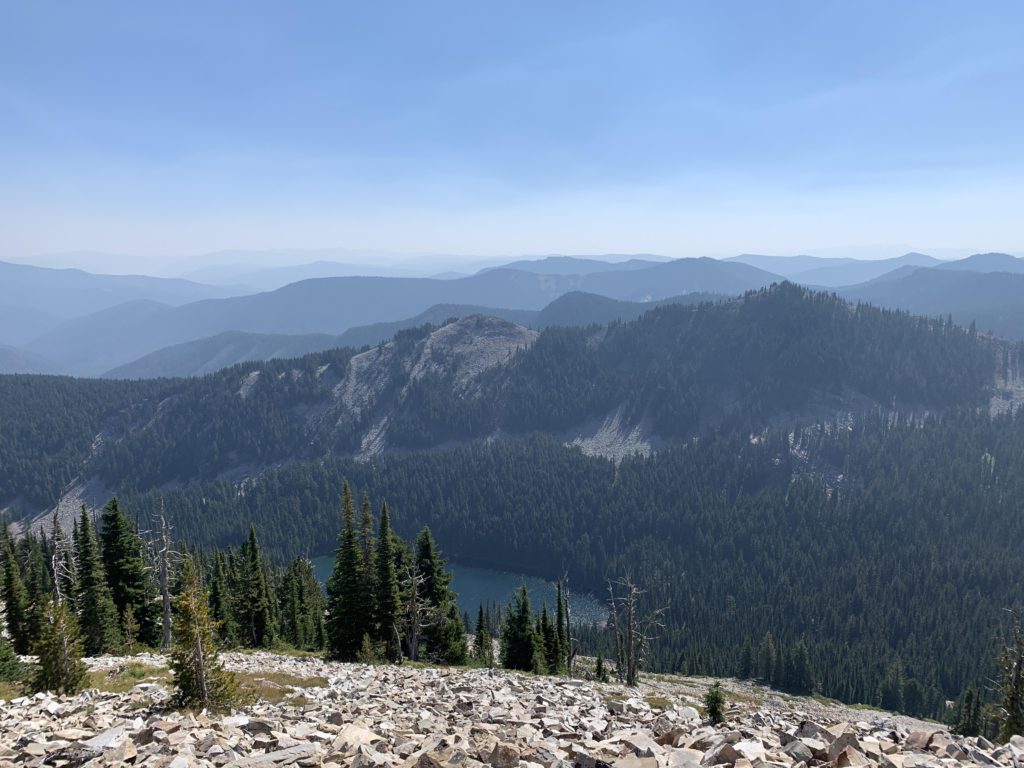
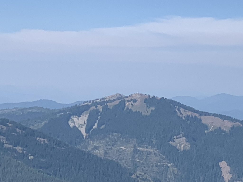
Nearly three miles in, the trail spills out onto an ATV trail (coming up from Burke Canyon), but luckily continues as a singletrack within a few paces. Shortly afterwards, however, the trail once again approaches the ATV trail and this time the trails merge into one. For just shy of a mile the trails serve this joint purpose, then the Granite Peak trail lifts off to the left in form of a singletrack. For the next mile it’s up, up, up, switchbacking here and there, while other segments are quite steep. Near the top the trail curls around Granite Peak. The peak is pile of talus, into which the trail is neatly carved. At the very top nothing obstructs the views. To the east, far below, lies Revett Lake. To the west you can spot the ridge you traversed and in the distance Tiger and Sunset Peak. Wonderful, but quite windy.
Alternate Routes
Extend the Sunset Peak trail to include the Granite Peak route, but the shortage of water on either trail is a serious issue
Hike to Sunset Peak from Tamarack Saddle
From the shoulder of Granite Peak, continue on the ATV trail to the Stateline trail and Pear Lake. Short of dropping down to Revett Lake, that is the only source of water
Things to Consider
Excellent trail conditions make this by far the preferable trail compared to the Barton Creek trailhead, but the trailhead is a bit more challenging to get to
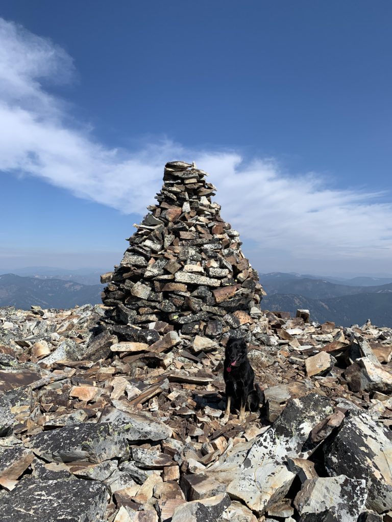
A lot of empty vodka bottles are hidden inside the tower on top of Granite Peak. I suppose that’s a result of the easy ATV access, which ends just a half mile below the peak
Not so great
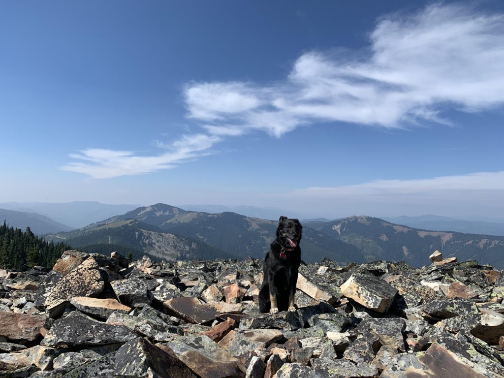
The trailhead is rather inconspicuousAfter crossing a logging road, the trail continues as a singletrack (left)Emerging on a ridge above Tamarack SaddleThe route ahead to Granite Peak in the distance (left)Crossing many subalpine meadowsLooking back across the meadow. Tiger Peak to the leftThe remains (tailings) of a mineEarly on, the trail crosses many beautiful meadowsGranite PeakFor a while the trail joins a logging road with ATV trafficTalus fields on approach to Granite PeakThe peak just south of Granite PeakTiger and Sunset Peak. The ridge to the left was the route taken to Granite PeakThe peak on Granite PeakRevett Lake and view into Montana. The Blossom Lakes are behind that ridgeTiger PeakSunset PeakNaughty on Granite Peak. She’s not very keen on talusNaughty posing on Granite PeakRevett LakeSunset Peak