- Coeur d’Alene Mountains
- Farragut State Park and atop Bernard Peak
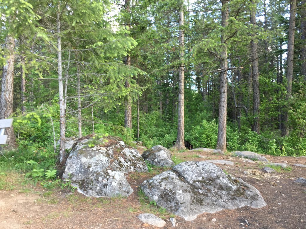
- Some parts of the trail lead through private property where camping is not permitted
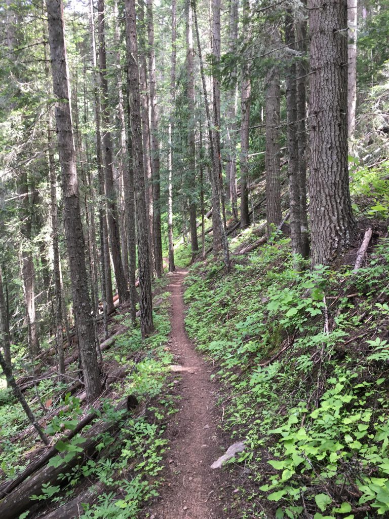
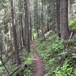
- Trail was in great condition. Watch out for mountain bikers
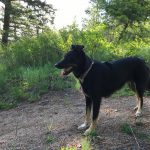
To practice for longer backpacking trips, the Scribe wanted to test his skills on a 20-ish mile peak with a reasonable ascent. Having already checked off Mount Coeur d’Alene, he set his sights on Bernard Peak. I set my sights on a looooong hike and lots of squirrels. We found both on Bernard Peak.
We started out on a sunny Memorial Day weekend, leaving the car at the Farragut State Park visitor center. We took the Lynx trail towards trail junction 42, only we didn’t know that because the Scribe didn’t bother to pick up the Farragut Summer Trail map at the visitor center. Hence we ended up wandering around for a while, trying to figure out what the numbers on the sign posts meant (they are numbered trail junctions). To avoid that predicament, you could either take the South Road and park at junction 42, or head towards junctions 42 on the Lynx trail. From junction 42 move south to junction 45 and then junction 46, where the trail exits the park.
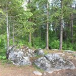
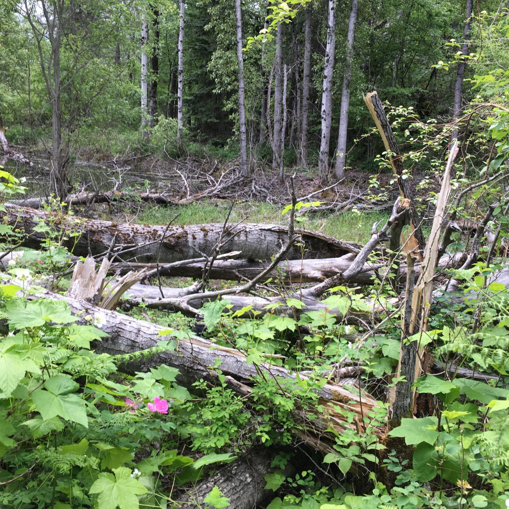
At this point, the Scribe was stubbornly convinced that the trail had to go right, so we circled around for a while until I led him back to the trail junction and we took the left fork. Much better. The trail meandered for a bit and soon rose steadily and leads to a pretty little pond, which I immediately investigated. The water was tasty!
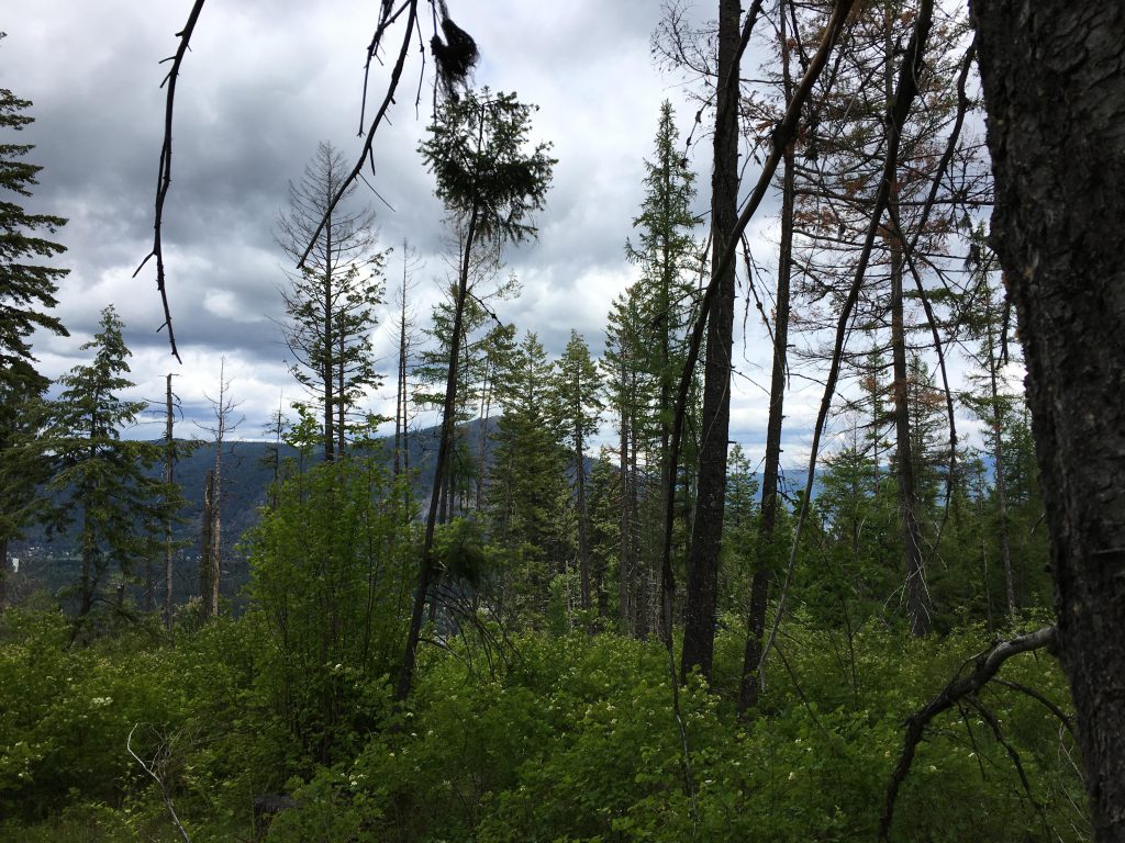
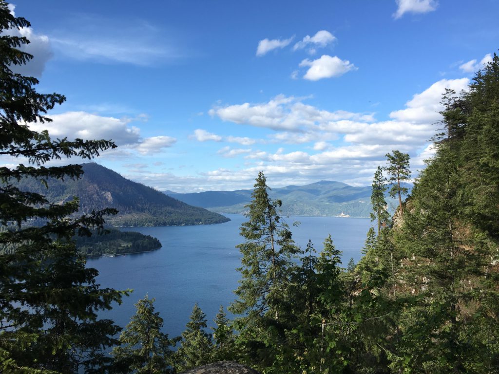
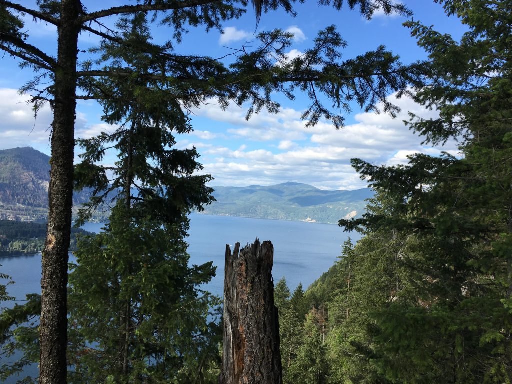
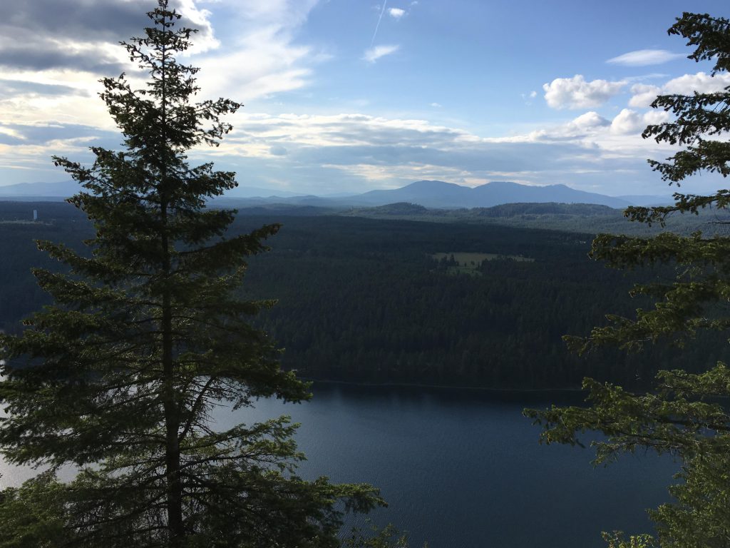
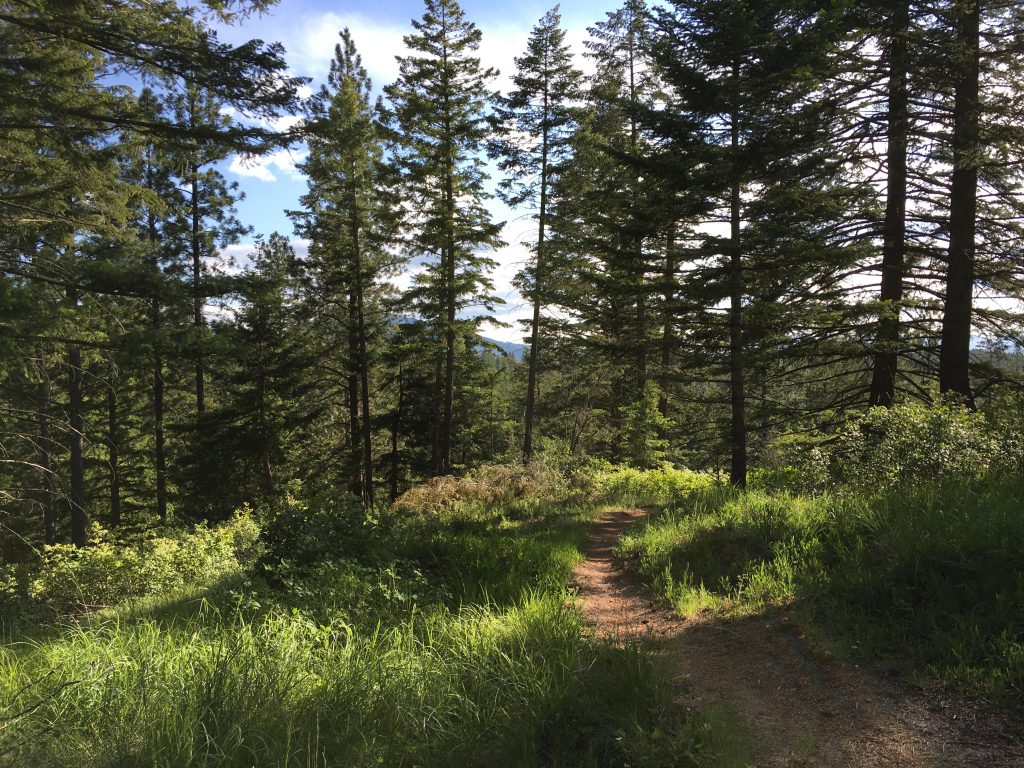
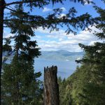
The trail eventually circles back, so we took the branch off called Scout Trail to Bernard Peak, which continues to climb steadily to a ridge and at at its apex offered filtered views of Lake Pend Oreille. It then descended gradually, ultimately flattening out and expanding into a double track. Around the three-mile mark a side spur led to a viewpoint with a magnificent sweep over Lake Pend Oreille. This is a must, because the remainder of the trail provides just filtered views at best, even at the peak!
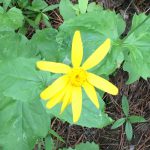
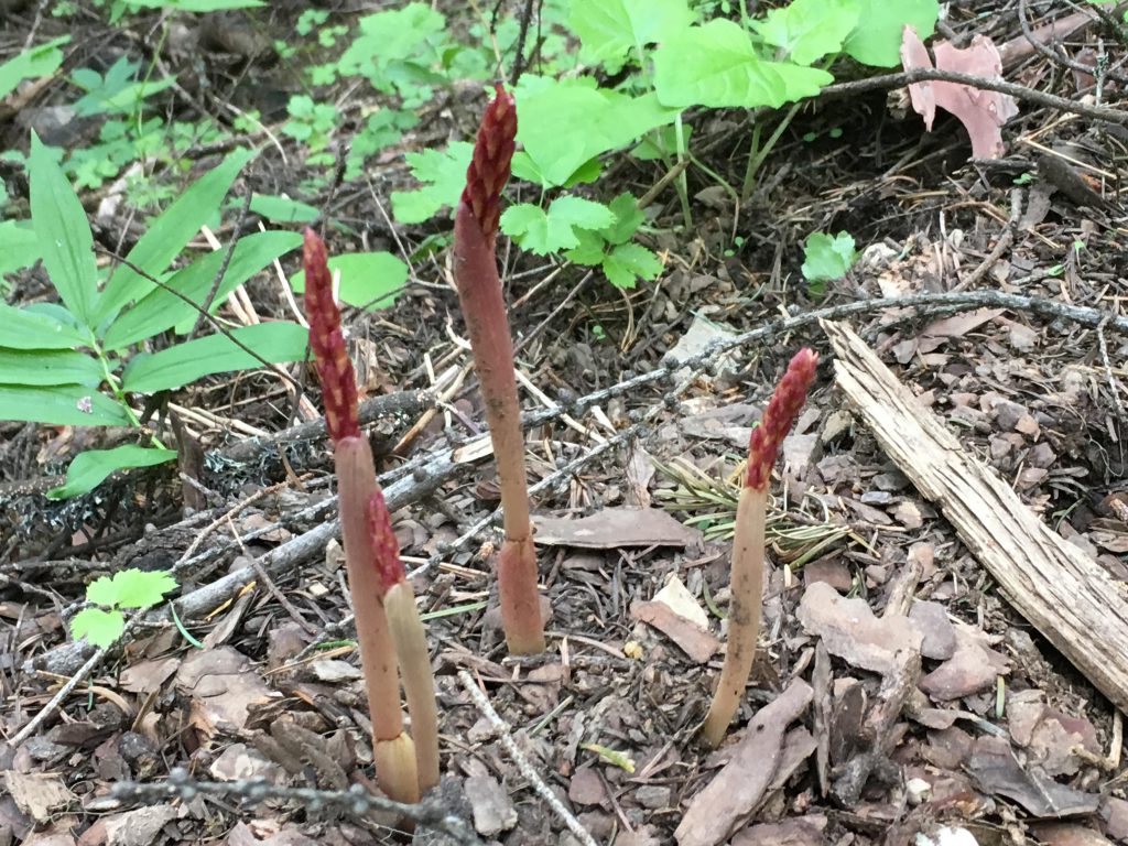
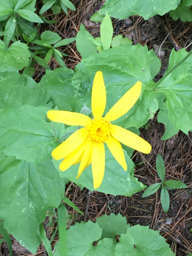
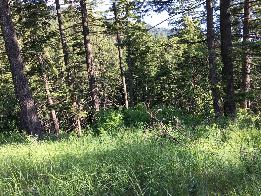
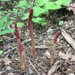
The ascent now got steeper as the trail climbed the flank of the mountain in five giant switchbacks. Conifers provided welcome shade, and the forest floor alternated between curious fungi and pretty yellow wildflowers.
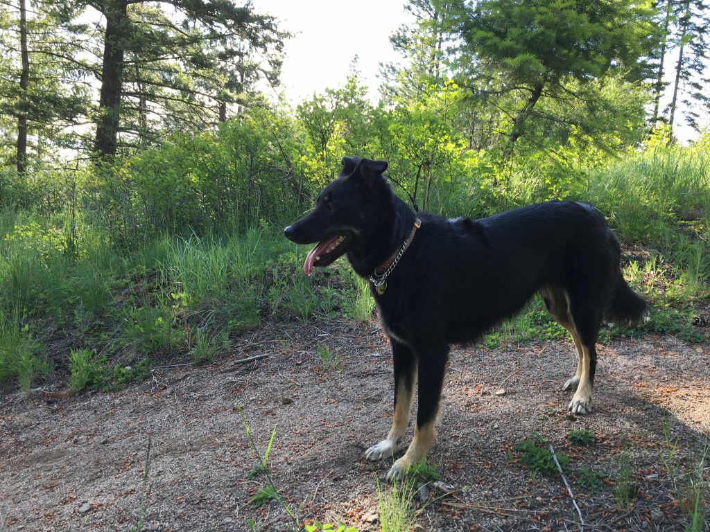
Near the top, the path crosses a forest road and terminated at Bernard Peak. Having hiked almost ten miles to the peak, it was somewhat disheartening to see a fifth-wheel camper parked at the very top where a lookout tower once stood (FR2708 provides easy access from the other side). There were two large dogs lazying in the sun and I nonchalantly sidled up to them and inspected their food bowls. To my dismay they were water bowls. I gave the dogs a butt-sniffing–all seemed okay–and heeded the Scribe’s impatient call.
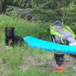
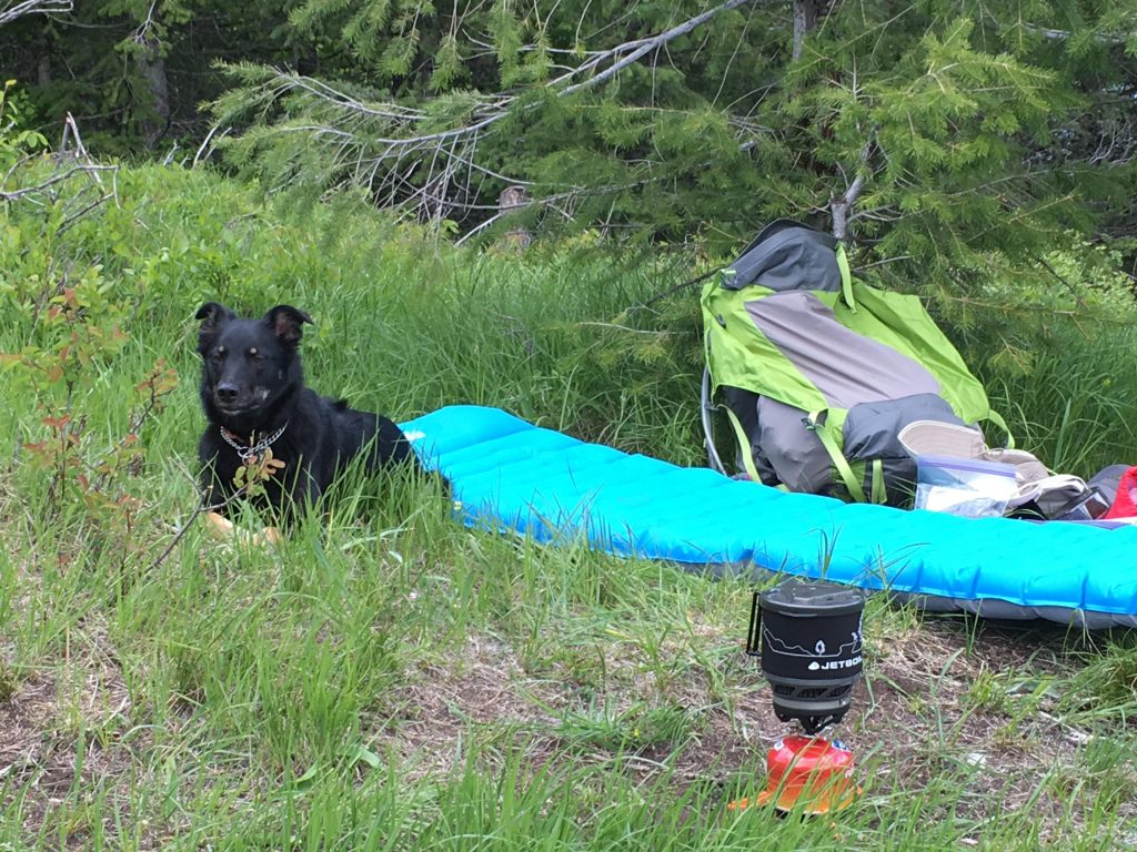
The view was nothing to write home about–mostly scarred mountainsides that had been clear-cut. The Scribe unpacked all the unnecessary gear he brought along and made tea. I got nothing, so I sent the local squirrel population into the pines. Then it was time for a nap, before we headed back the way we came.
Alternate Routes
Things to Consider
Not so great