- Coeur d’Alene Mountains
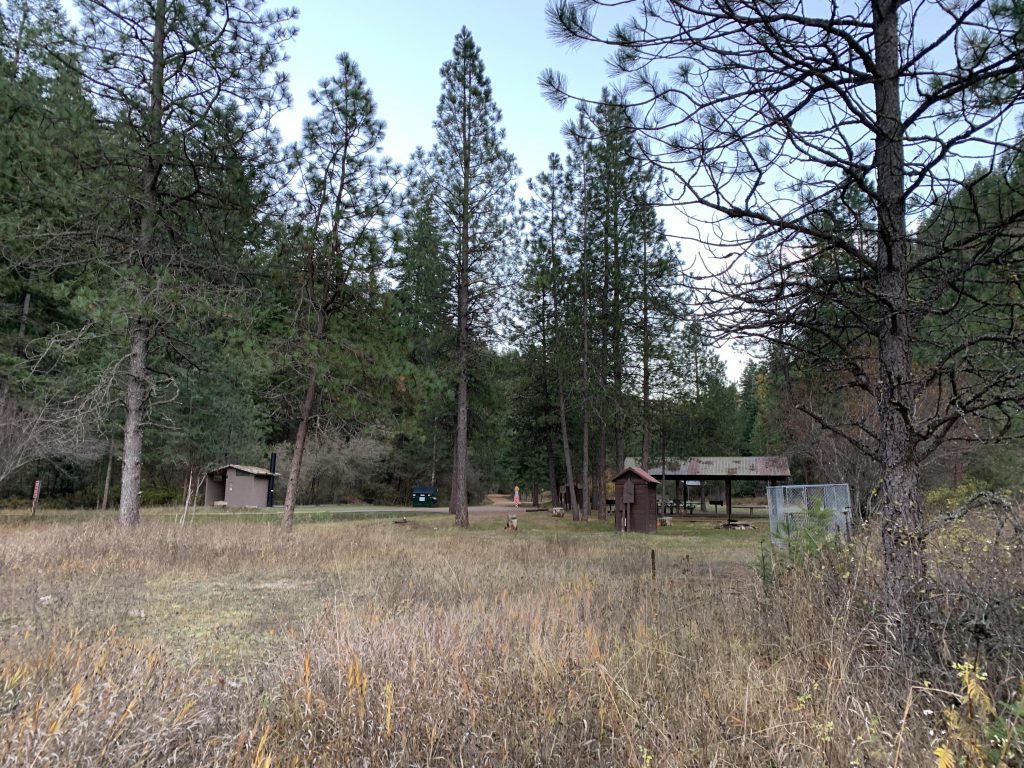
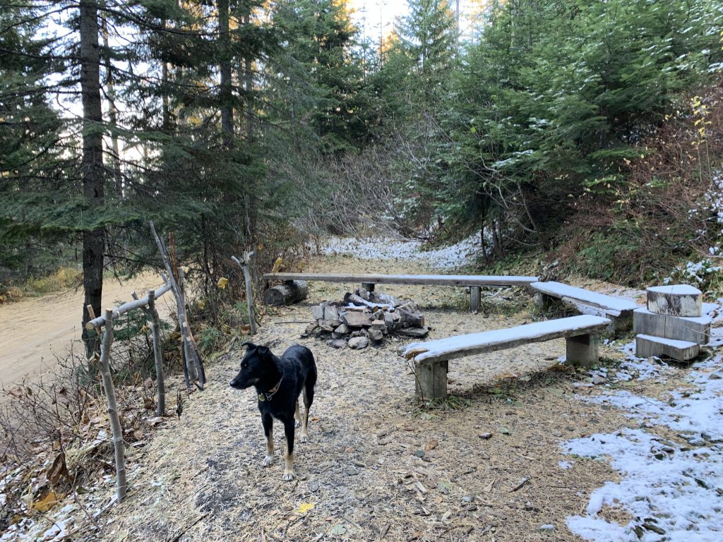
- Beauty Creek Campground (toilets)
- Picnic area at intersection of FT-79 and FR-439 (pit toilet)
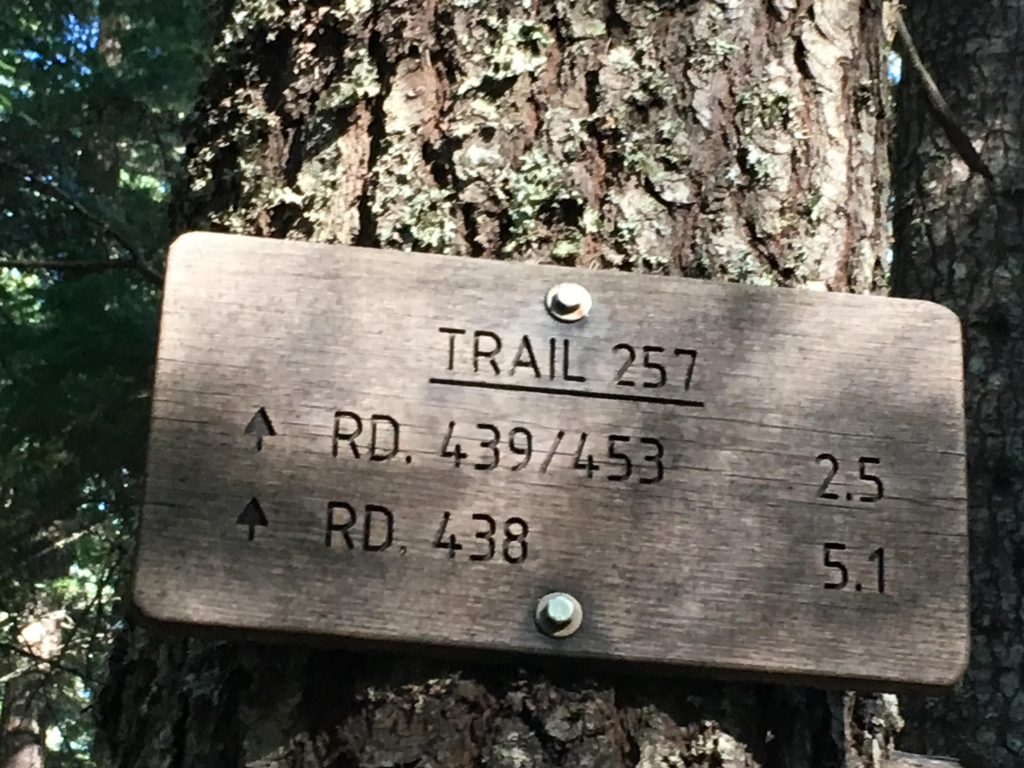
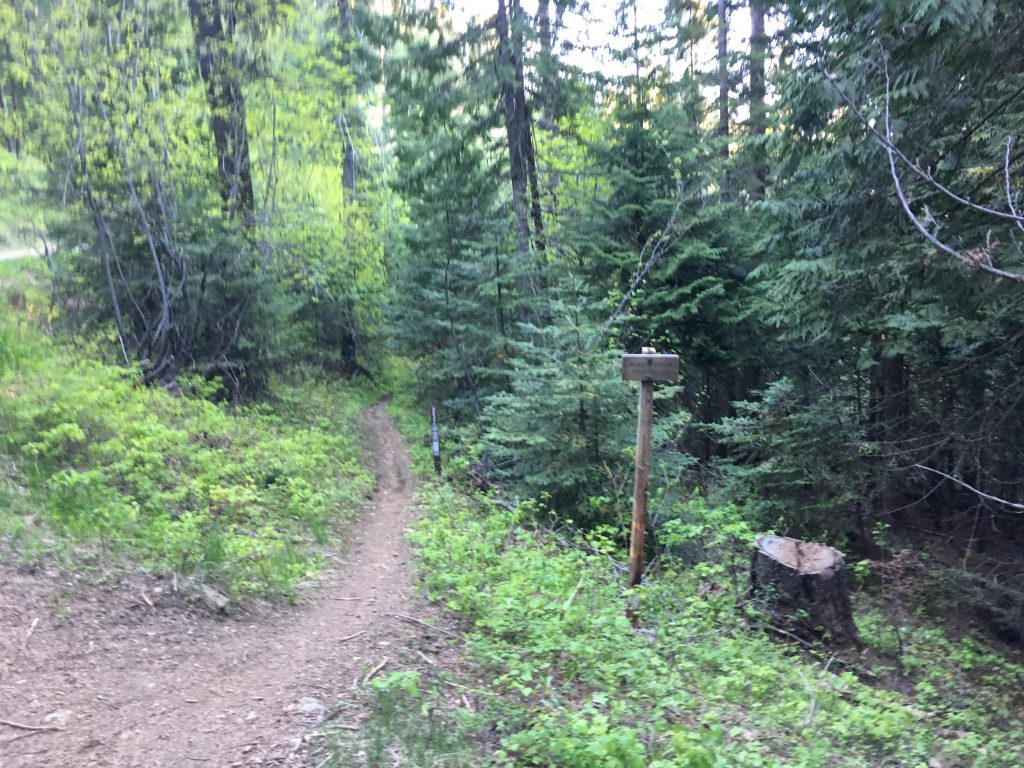
- Junction of 227 and 257
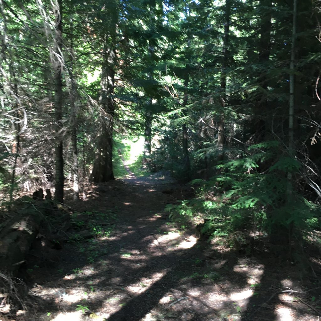
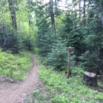
- A few fallen logs on trail #227. Trails 79, 257 and 258 are typically well-maintained
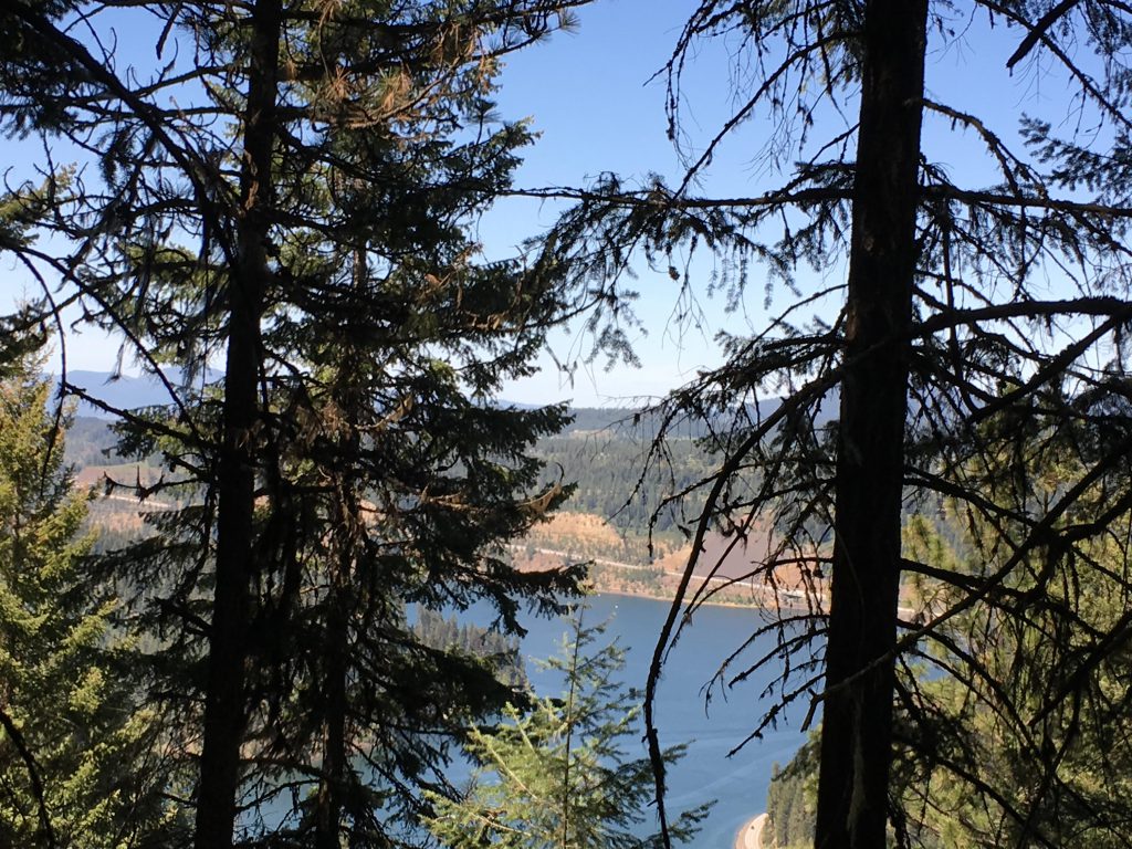
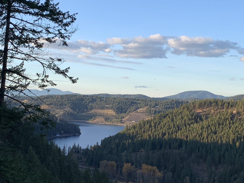
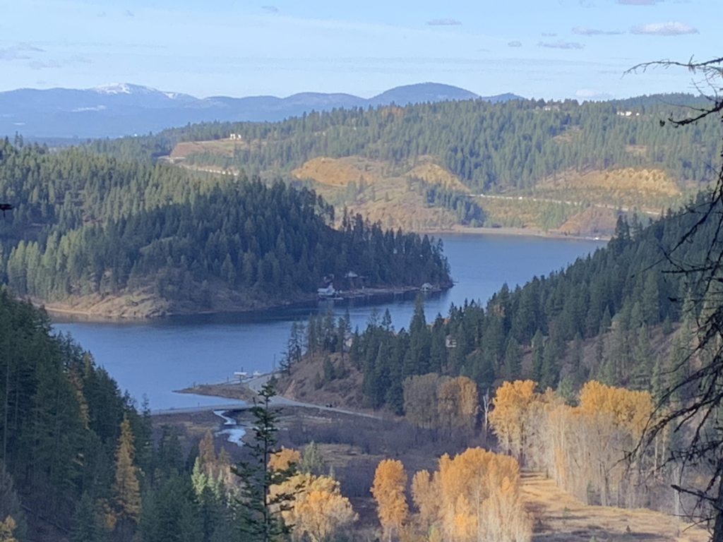
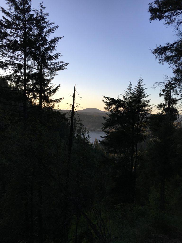
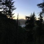
Think of Mount Coeur d’Alene as Mineral Ridge’s larger brother, sans views. It is located just one ridge further south, towering over the Beauty Bay terminus. From the parking lot the trail dissects the flats and crosses Beauty Creek. In spring, this means fording unless you’re lucky enough to find a plank; by late summer the creek is usually dry. Once you reach the forest, the trail turns south and climbs the cliff in four sweeping switchbacks. As you ascend you will see your car far down below at the parking lot getting smaller and smaller with each turn. Before reaching the fourth switchback, the path veers right and curls around the ridge, then turns and lifts you to an overview at the crest of the ridge. This spot offers the best opportunity for pictures of Lake Coeur d’Alene; for the rest of the hike views tend to be filtered and limited to mountain views.
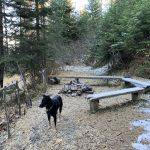
The trail now hugs the ridge closely, and meanders through dense forest at a steady incline, but ultimately veers to the right once again and climbs the western face of Caribou Ridge in a series of smaller switchbacks. The toughest part of the climb is behind you when you reach the fork to 258. The trail then gains altitude more gradually and diligently follows the ridge, only to veer to the right a third time just before intersecting with FR4-39. On the far side of FR-439 a shaded picnic area awaits, complete with firerings, pit toilet and water. In midsummer this is likely the only reliable water source until you hit 257 at the bottom of Mount Coeur d’Alene.
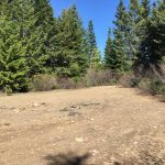
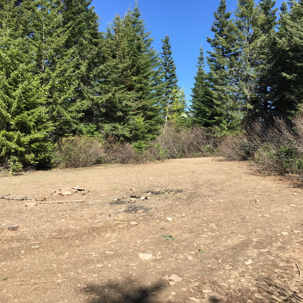
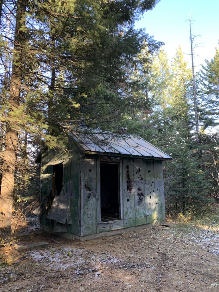
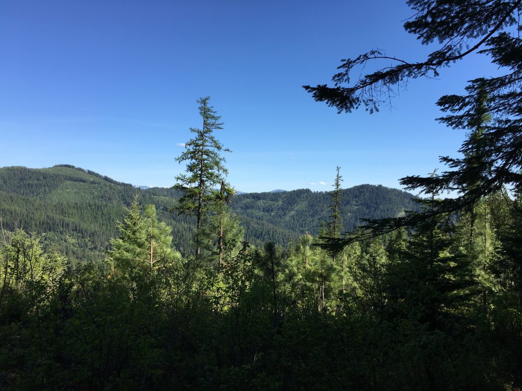
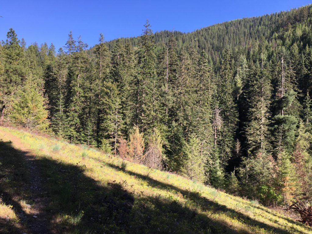
The trail passes the picnic area and continues uphill in a westerly direction. It wraps halfway around Mount Coeur d’Alene and intersects with FT 227. Bypass this intersection for now and continue up to the top of Mount Coeur d’Alene, featuring an empty patch where once stood a lookout tower and a bit further in the woods a still-standing-but-rotting cabin. The patch makes for a decent campsite, albeit dry. There isn’t much of a view, so backtrack to the FT227 junction. Now it’s downhill on trail FT227, which is less frequented and thus less well maintained. Be prepared to climb over a few logs, especially early in the season. On the other hand, the forest opens up once you traverse the western flank of Mount Coeur d’Alene and reach its southern ridge. There are splendid views of the surrounding hills. The trail also crosses a number of logging roads, but stick to the singletrack trail.
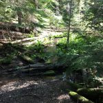
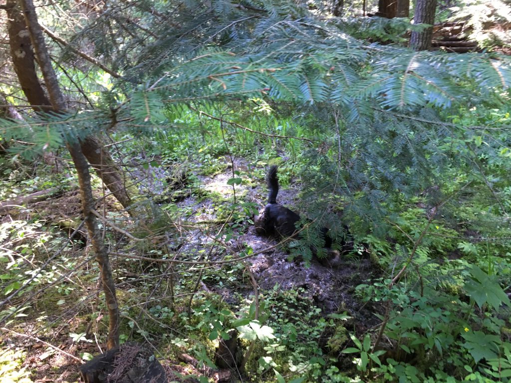
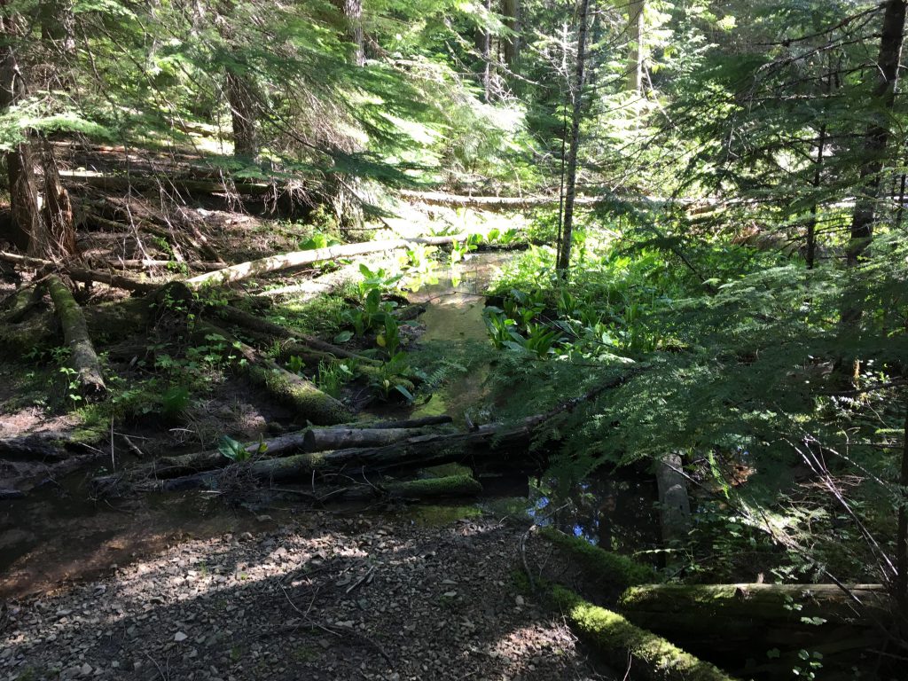
In late spring or early summer you may come across verdant patches, where tributaries to Carrill Creek still carry enough water. A welcome source of water for man and beast and plants! And picturesque to boot! The path steadily drops until it levels off in dense forest at the junction of trails 227 and 257. This area makes for a fine campsite, especially on hot summer days, when it’s shady location is welcome.
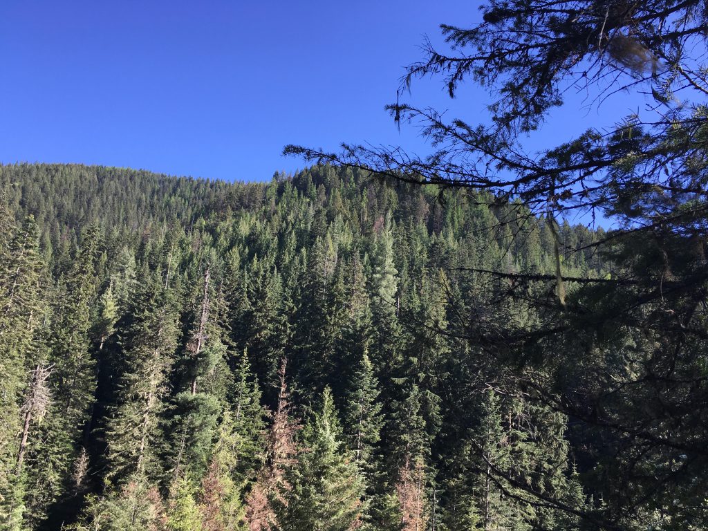
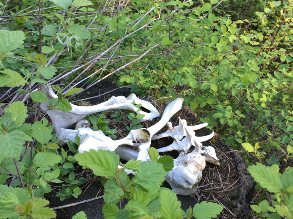
The trail continues level along Carrill Creek, then branches off to follow Pleasant Creek. Ultimately, it crosses Pleasant Creek, which is essentially the last consistent water source until the intersection with FT258 (and in late summer may be the last source of water before reaching Beauty Creek campground). After the crossing, the path tracks the ridge at a steady climb, crossing meadowy patches, then once again re-entering the forest. For the second major ascent of this loop, the trail more or less straddles a ridge and reaches a saddle east of Mount Coeur d’Alene in less than three miles and about 1000 feet of elevation gain. Throughout, the trail provides views of the surrounding mountains, occasional wildlife (particularly turkeys), dead or alive. The trail eventually emerges onto FR439, where you bear left and follow the forest road for a while. Another road branches off to the right, FR453, but keep going straight to another fork. Here take a right (there is a small parking area there) and follow FR439 towards Mount Coeur d’Alene. Rejoin the singletrack after a few hundred feet, well marked, on the right-hand side. Continue on FT257 at a steady decline; you will lose about half the altitude just gained.
Trail 257 eventually intersects with trail 258, which is a decommissioned logging road. Just before that intersection may be your last opportunity to fill up on water. Trail 258 dissects about four or so seasonal brooks, but in late summer the chance of water may be slim. Follow trail 258 north (this is the old logging road; continuing on 257 would lead down to Beauty Creek road, about 3 miles upstream of Beauty Creek campground). Trail 258 snakes its way around the eastern flank of Mount Coeur d’Alene at a slight incline and seems to go on forever; in reality, it’s about three miles. Towards the end of the logging road, the trail swerves left and enters the woods. It switchbacks steeply uphill to regain Caribou ridge. Now it’s steeply downhill the same way you came in, and hopefully you’re back at the campground before sunset!
Alternate Routes
- To shorten the trail, turn around at Mount Coeur d’Alene for about 11 miles total hiking distance
- Alternatively, park a second car at the #257 trailhead. From the top of Mount Coeur d’Alene take the FR-4439 spur road to the main FR-439 road, then turn right and follow the road to the branch off of 257. Follow 257 all the way down to Beauty Creek road and shuttle back to Beauty Creek campground.
Things to Consider
- The first 2 miles climb a very steep cliff. If you’re afraid of heights you may consider starting the trail about 3 miles up Beauty Creek road. Here you take 257, which in a series of switchbacks leads uphill to the junction of 257 and 258. Commence the loop from there.
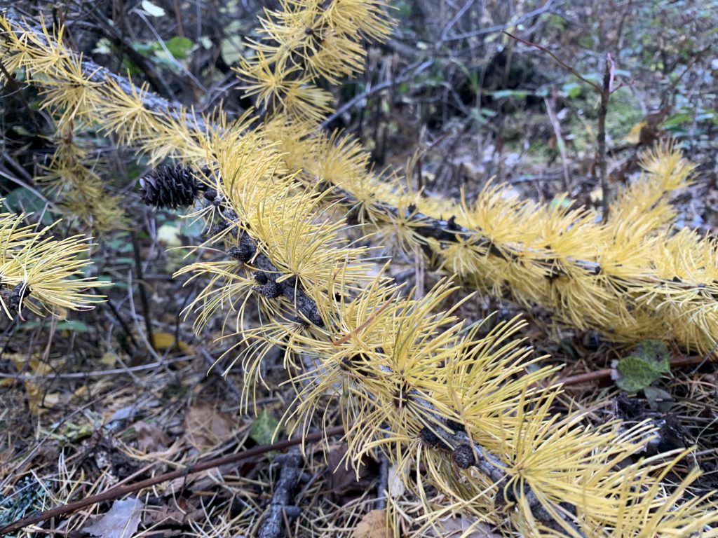
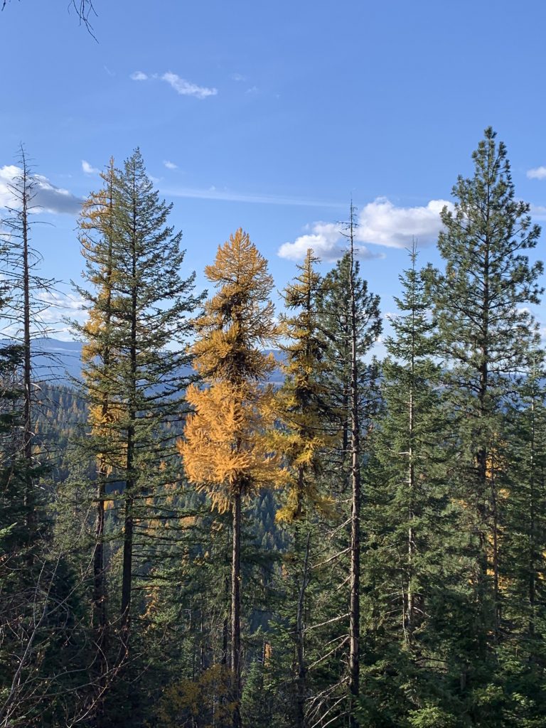
- We’ve hiked Mount Coeur d’Alene a bunch of times and thus the photos depict various seasons
Not so great