- Coeur d’Alene Mountains
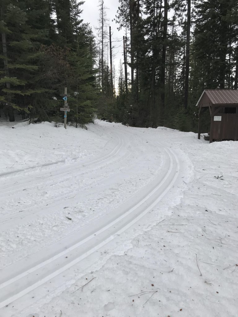
- There is a warming hut near the trailhead (follow the ski trail for about 200 yards) and a warming shelter at the turn-around point. Both locations also have pit toilets.
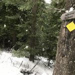
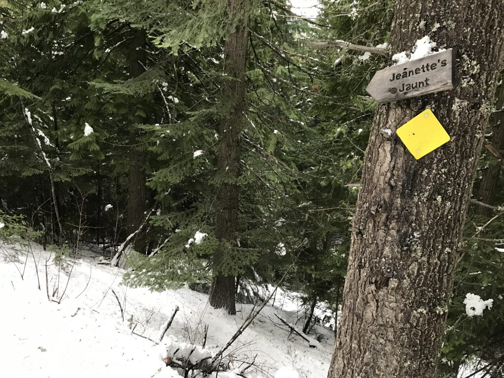
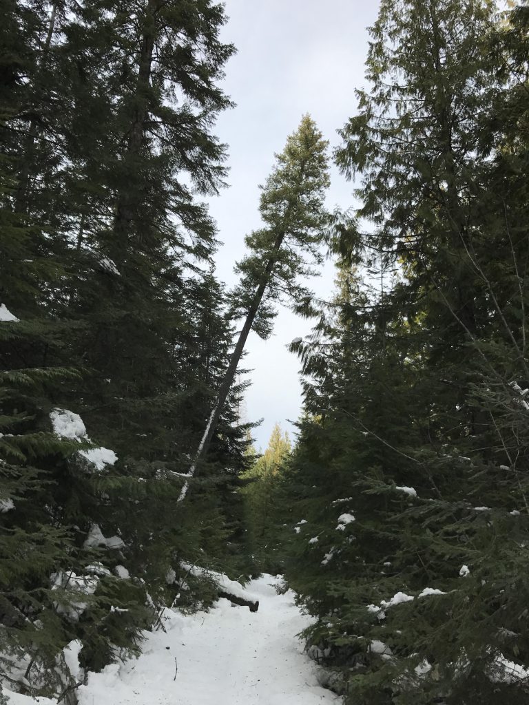
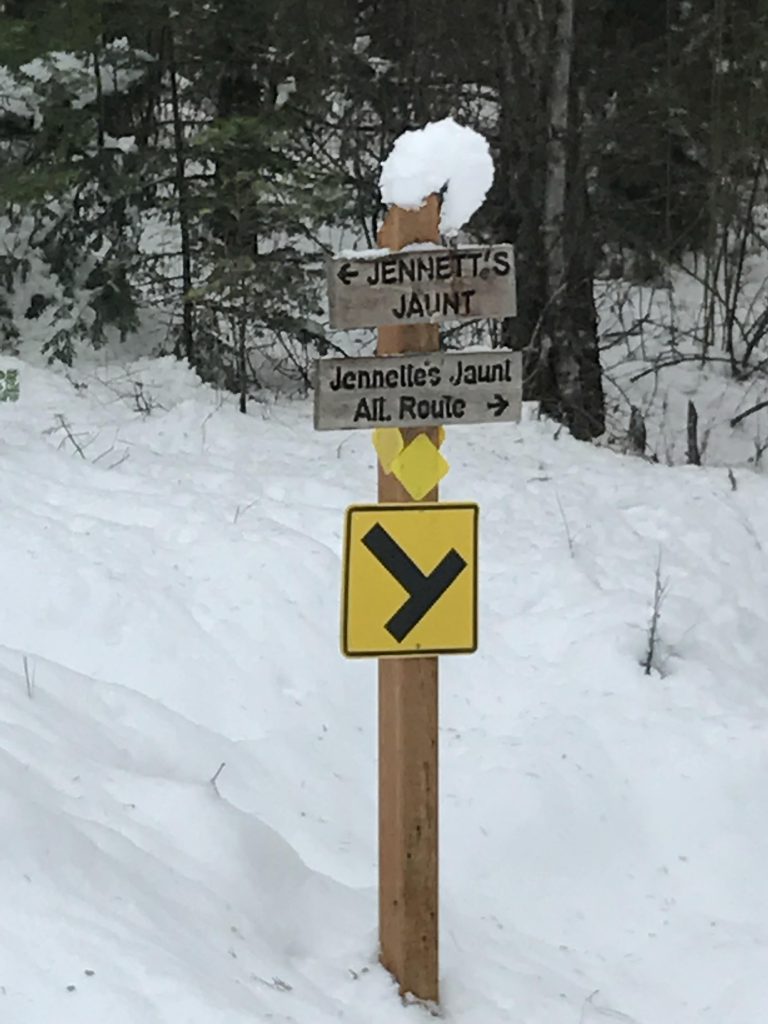
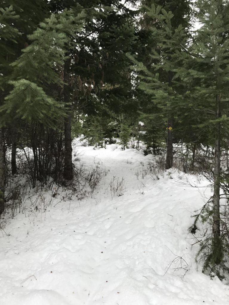
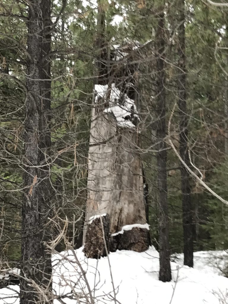
- Pretty good. A few trees needed to be climbed over. Trail signage is excellent.

We had not completed this loop in almost a decade, largely due to dubious memories of crawling on all fours over and under overturned trees and snow-heavy bent-over saplings. Today’s snowshoe proved to be a pleasant surprise, as the trail obviously received extensive TLC, including updated signage and a new loop section near Peaceful View shelter.
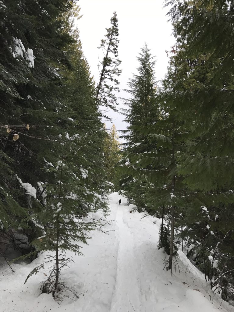
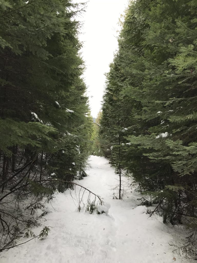
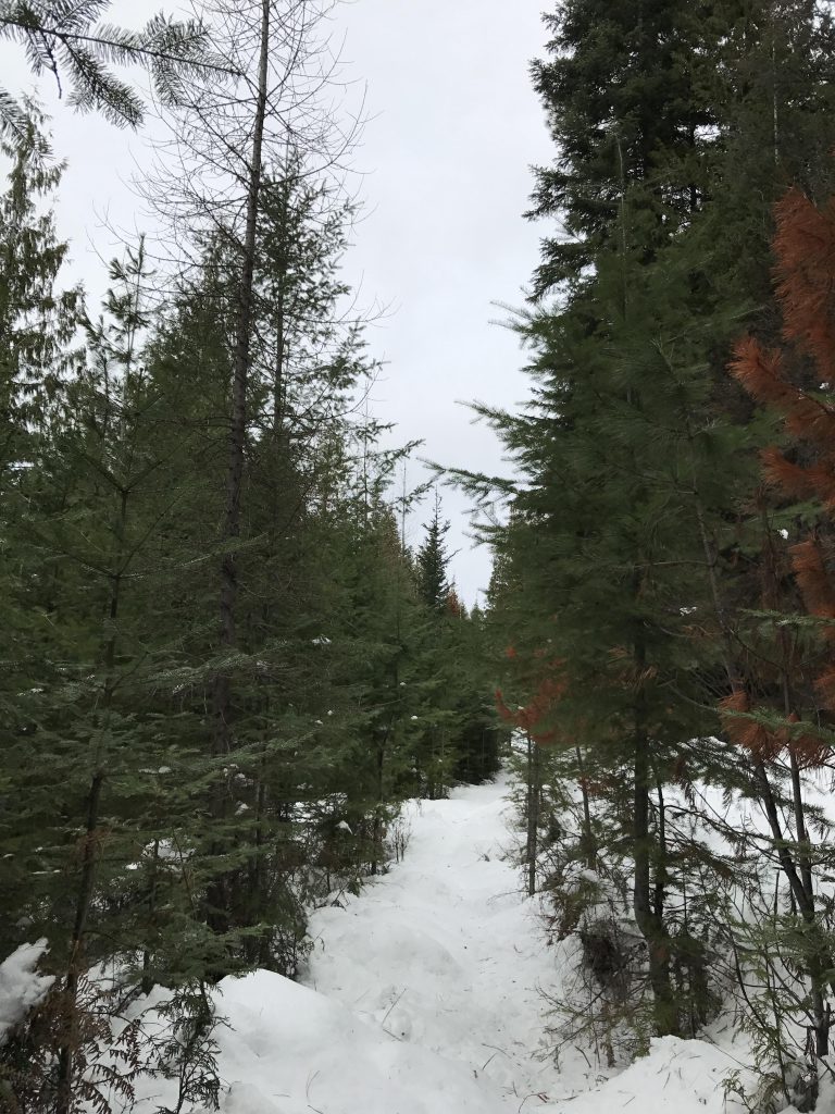
To get to the trail hike along the groomed ski trail at the rear of the Fourth of July Recreation Area parking lot (to the right) for about 50 yards. The snowshoe trail drops steeply downhill on the right side in a couple of switchbacks that emerge onto a logging road. The trail stays on this logging road almost all the way, with the incline very gradually downhill. This makes for easy hiking, particularly for the first mile, which is so heavily used that the packed snow makes wearing snowshoes completely optional.

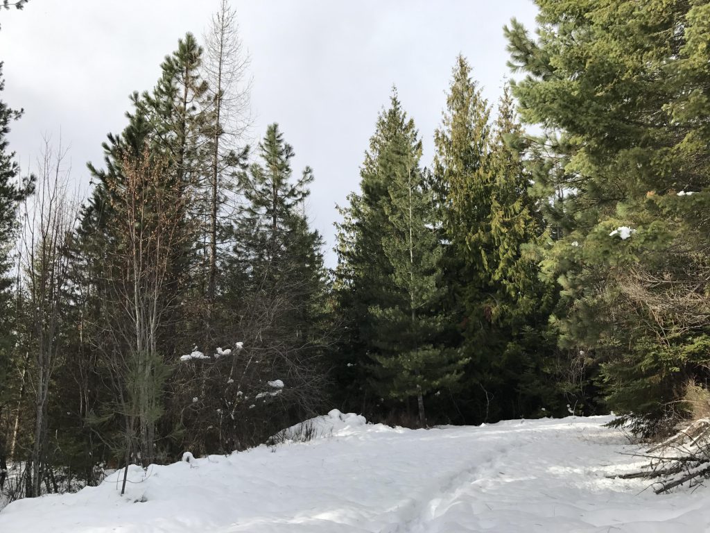
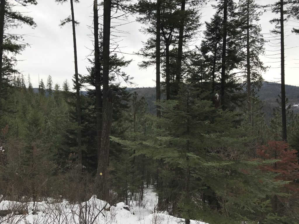
On the downside, this trail is hemmed in by tall trees pretty much all the time, so views are extremely limited, and for three-quarters of the way it parallels the freeway, so bring your earplugs.
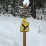
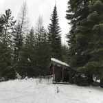
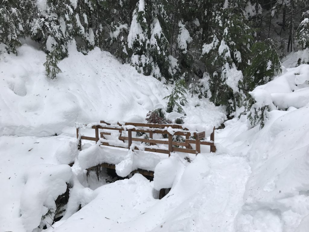
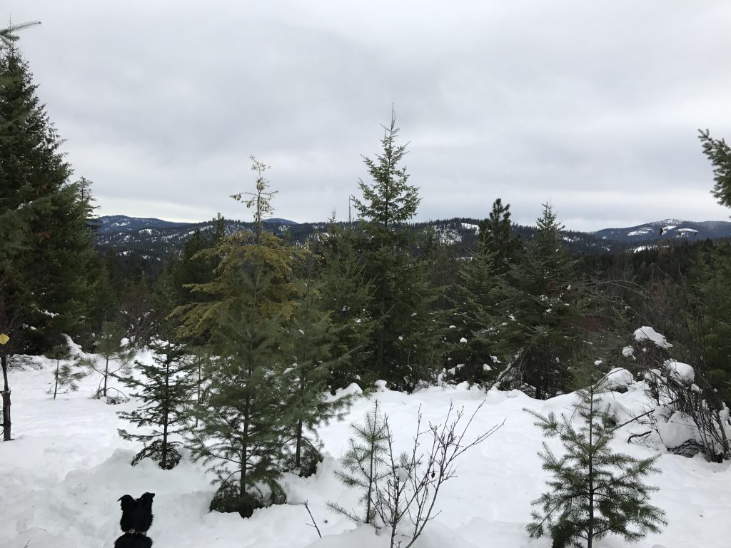
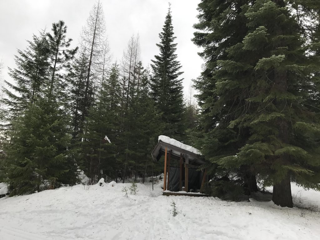
The trail veers away from the freeway around the 3-mile mark and about a half-mile later comes to a Y. The ultimately more gradual ascent is the steeper trail going left and up, and it reaches the Peaceful View shelter after about a half mile (following a traverse of a knoll with the only reasonable views along this hike). The shelter is at roughly the same altitude as the trailhead, meaning the elevation lost on the logging road (about 300 feet) must be made up in this last half mile. The shelter is stocked with firewood and has a fire ring, but is not entirely enclosed. There is also a pit toilet nearby.
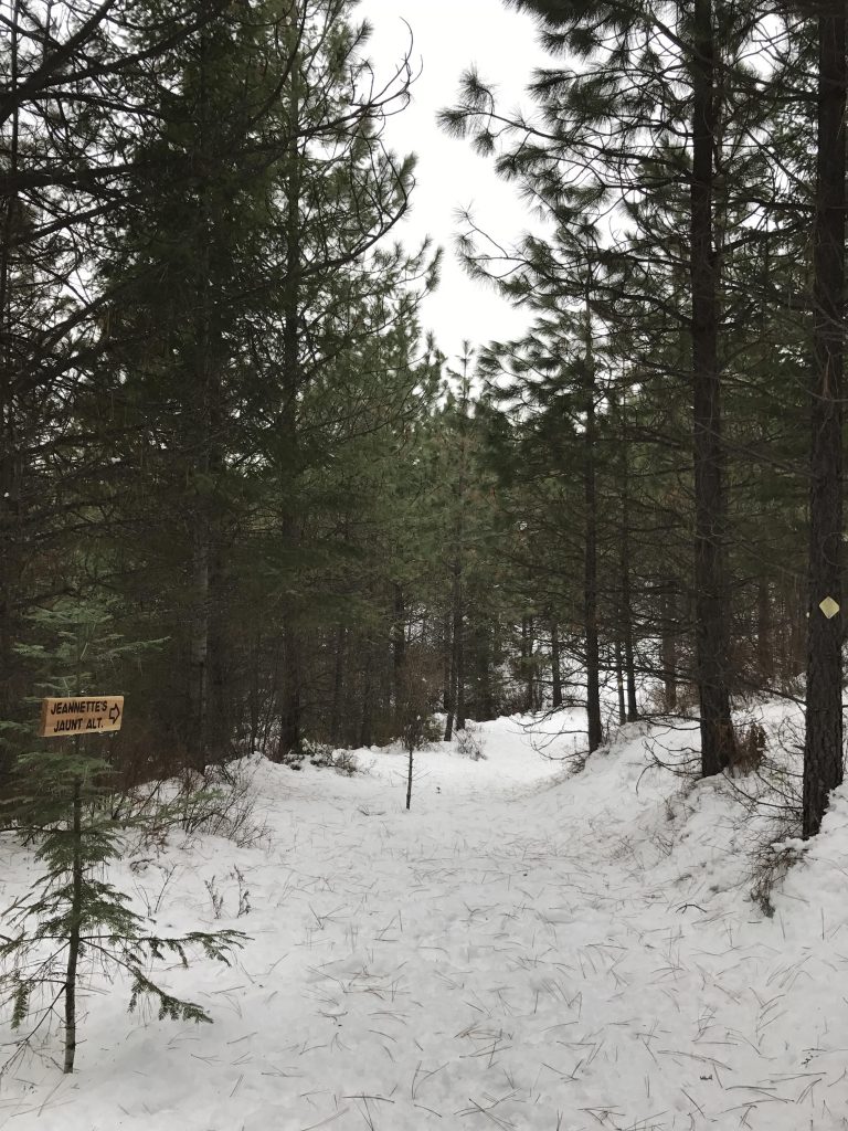
To turn the trail into a loop, return via the Alternate Route, which drops steeply through the forest along a singletrack down to the forest road. The ascent to and descent from the Peaceful View shelter are really the only more difficult parts of this trail. Once you reach the logging road it only takes a few hundred yards to return to the Y and the 3-mile return stem of this lollipop loop.
Alternate Routes
Things to Consider
Not so great
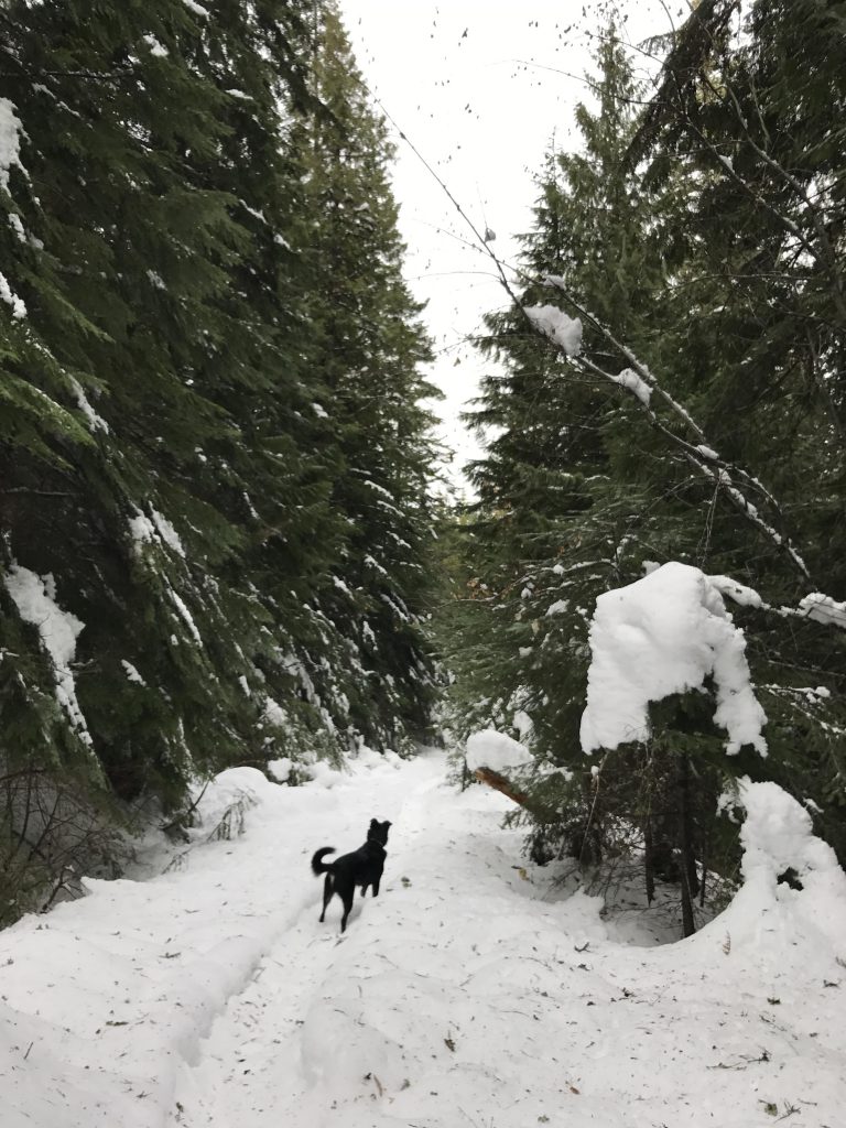
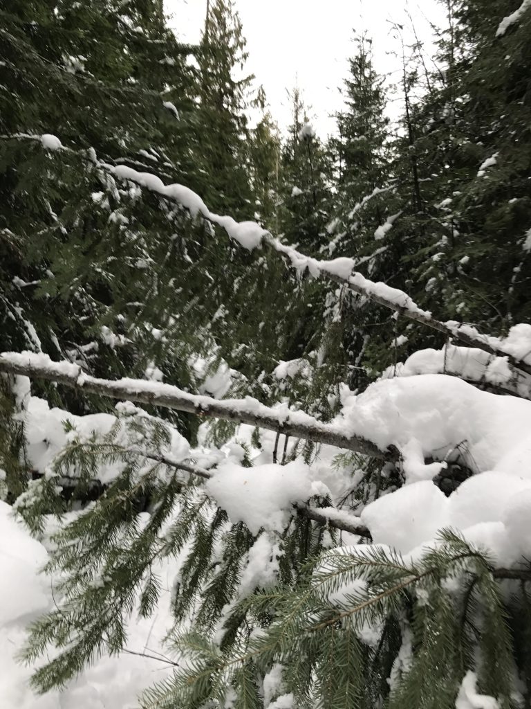
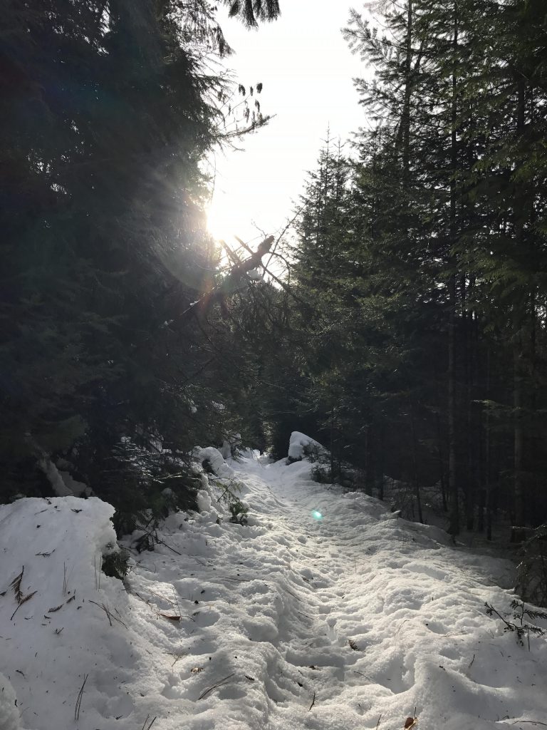
Hiked this again a few days ago. Most of the trail is packed snow to the extent that you don’t even need snowshoes. A few downed trees, especially in the second half of the hike.