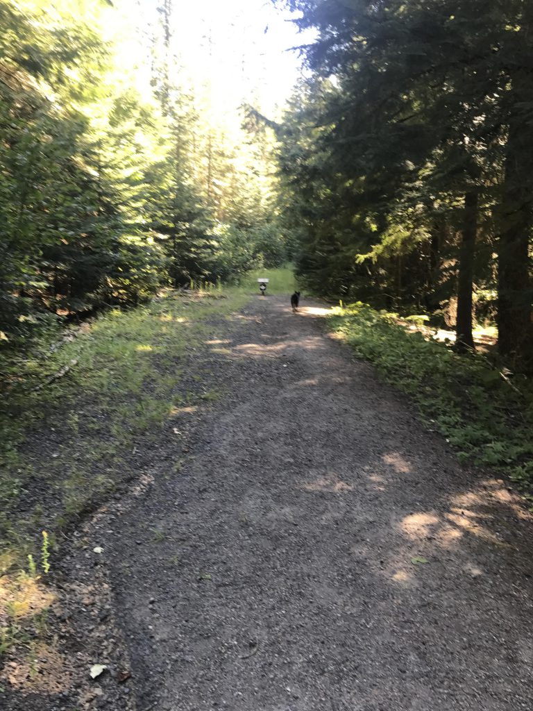
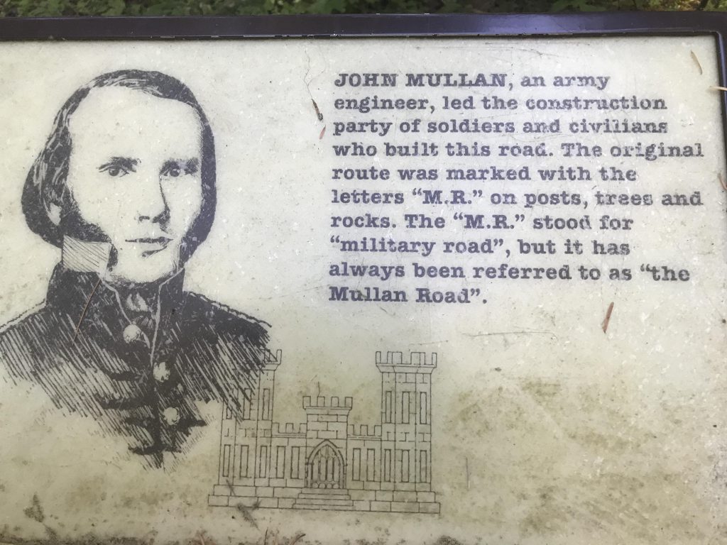
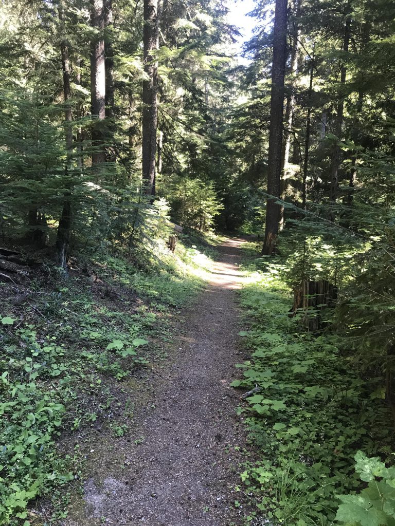
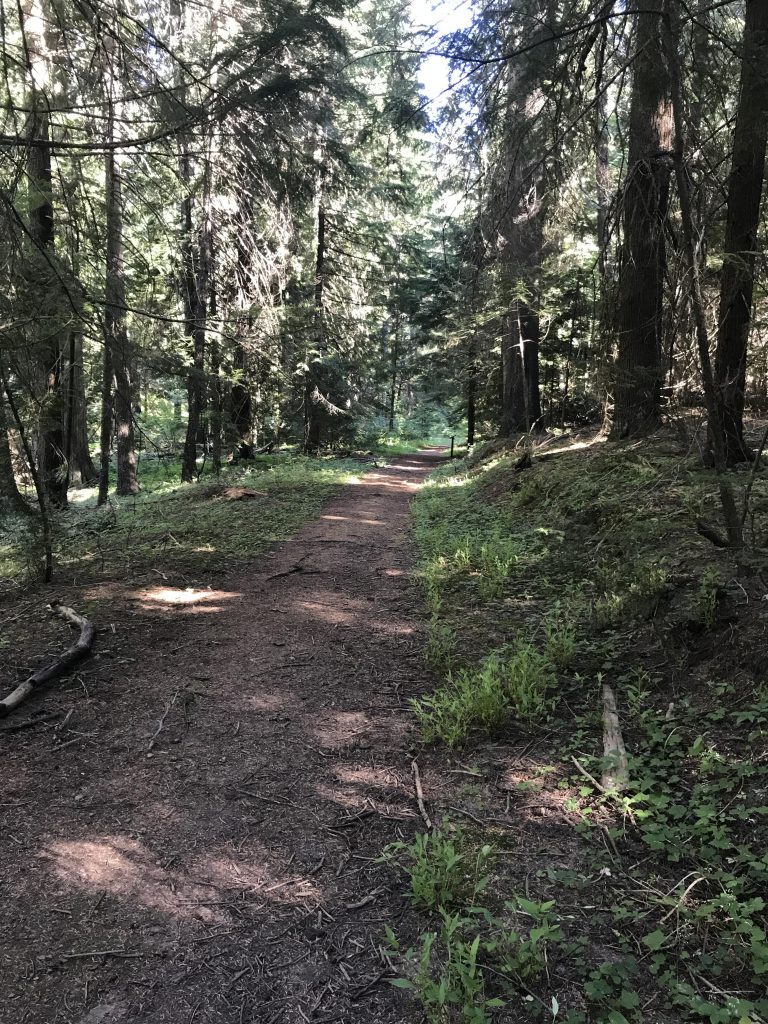
The Mullan Loop is an easy half-mile interpretive trail showcasing parts of the old Mullan wagon road, built in the 1860s to connect Fort Benton with Fort Walla Walla, and newer Highway 10, built in 1916.
Location
- Coeur d’Alene Mountains
Rating
2.1 out of 5
Difficulty
Easy
Distance
0.4 miles
Duration
0:12 hours moving time (Hiking)
Elevation Gain
54 feet
High Point
3,167 feet
Low Point
2,993 feet
Features
Outing Type
Trail Type
Trailbed
Packed dirt, packed gravel
Trail#
Water
Camping
- There are pit toilets near the trailhead
Conditions
- Excellent
Administration
Status
Maps
USGSLane
Fees & Permits
Open To
Directions
Season
Year-around
Resources
Nearby
Date
July 30, 2017
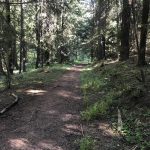
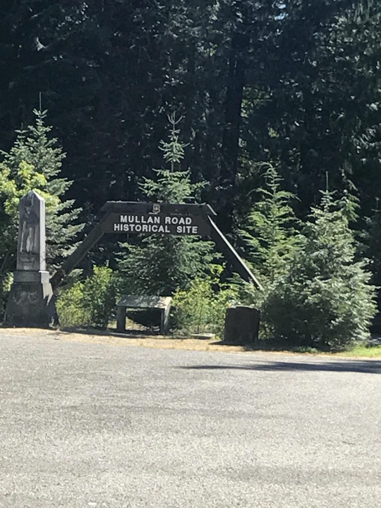
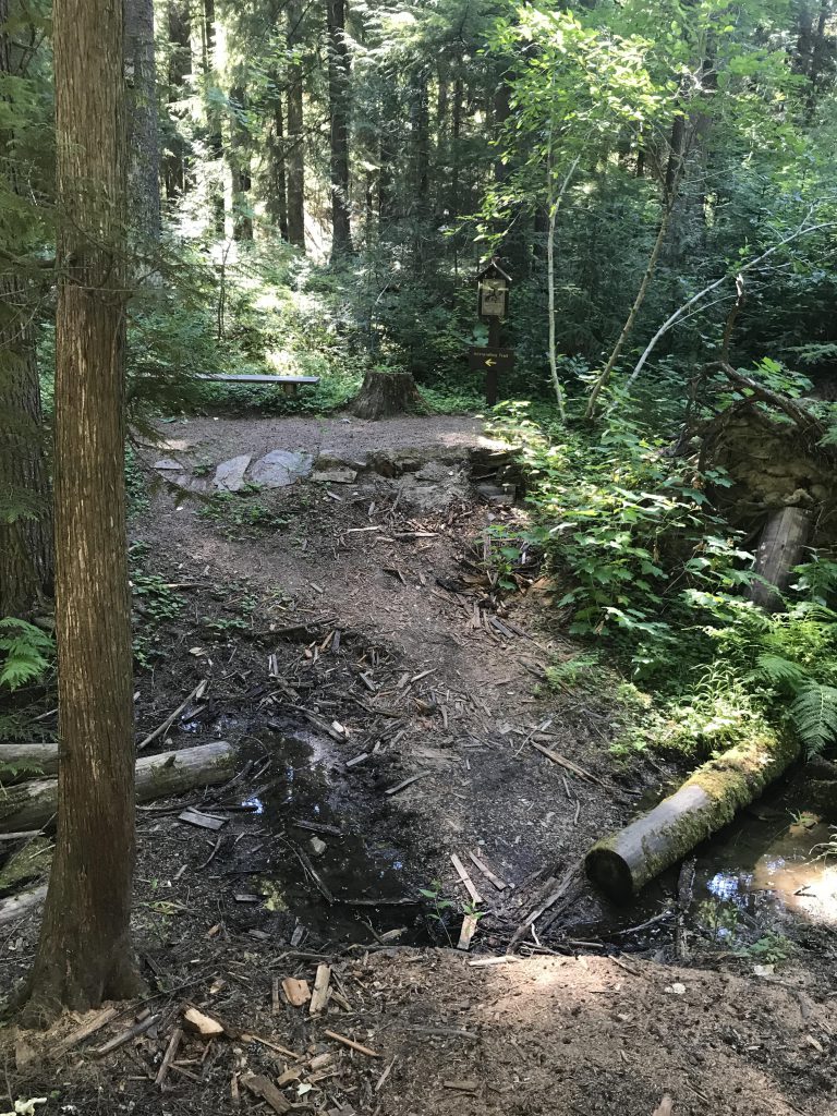
Admittedly, this isn’t much of a hike, or stroll for that matter, but the forest service did a great job showcasing some of the history along an otherwise busy freeway. The loop is literally minutes off the freeway ramp and lets you walk on remnants of the original 1860 Mullan Trail and the first “real” road built in 1916.
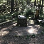
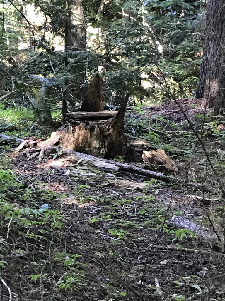
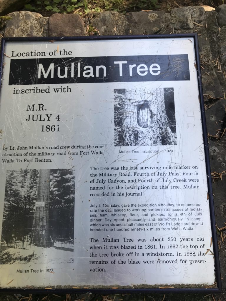
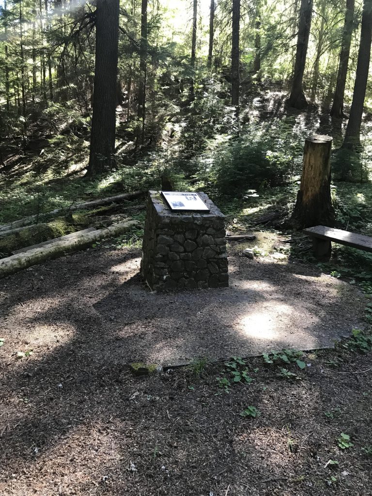
Next time you cross the Fourth of July Pass, take a few minutes and check out the trail. There are four interpretive signs along the path and a small monument where once stood the tree into which Captain Mullan carved JULY 4 1861, naming the pass, the creek, and the canyon.
Alternate Routes
Things to Consider
Not so great
© 2016 – 2026 NaughtyHiker. All rights reserved. No duplication without permission.
I pulled off there once during a storm but didn’t take a walk around. Next time!
It’s well hidden…. And who knew, there was once a tunnel under the pass! Built in 1932 and filled in in 1990