- Coeur d’Alene Mountains
- Not allowed
- Excellent
- Tubbs Hill Loop
- Mount Coeur d’Alene Loop
- Mineral Ridge Loop
- Marie Creek Loop
- Killarney Mountain
- Jeanette’s Jaunt
- Fourth of July Pass Mullan Interpretive Loop
- Fourth of July Groomed XC-Ski Loop
- Fernan Lake Natural Area
- Elk Mountain
- East Canfield Butte Loop
- Eagle Hut Loop
- Canfield Mountain South Flank
- Canfield Mountain East Flank
- Beauty Bay Overlook
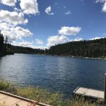
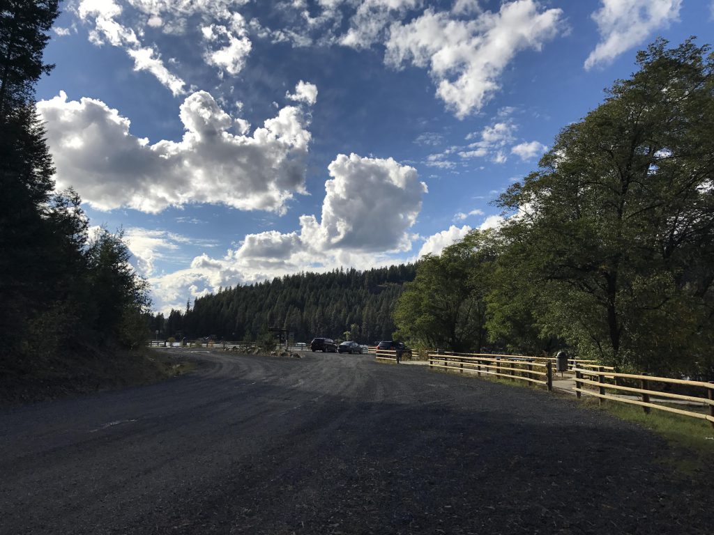
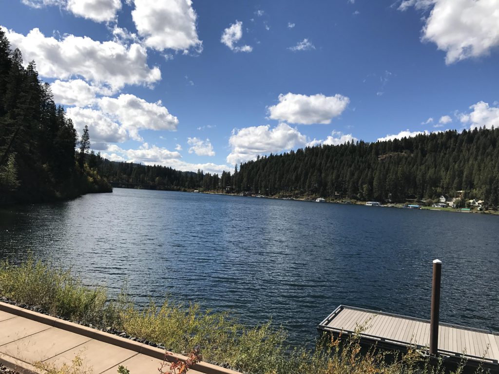
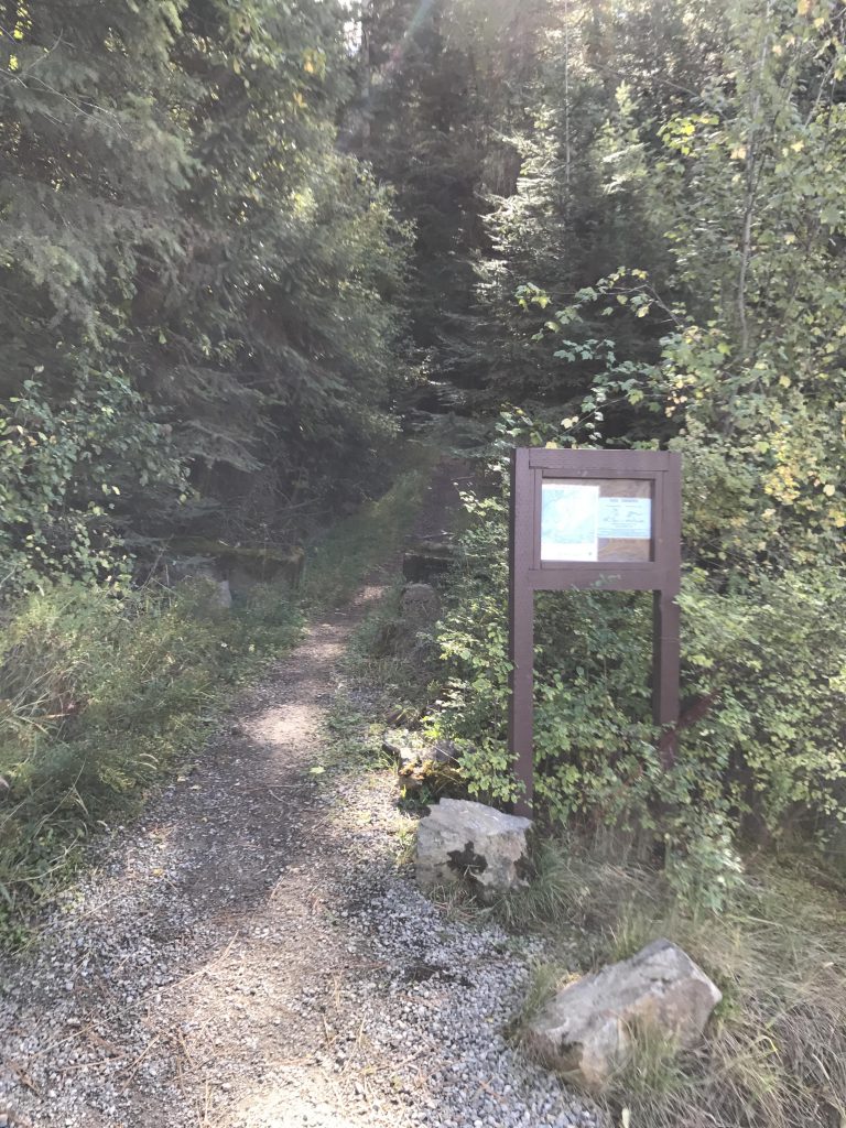
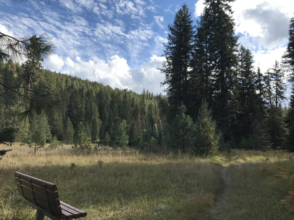
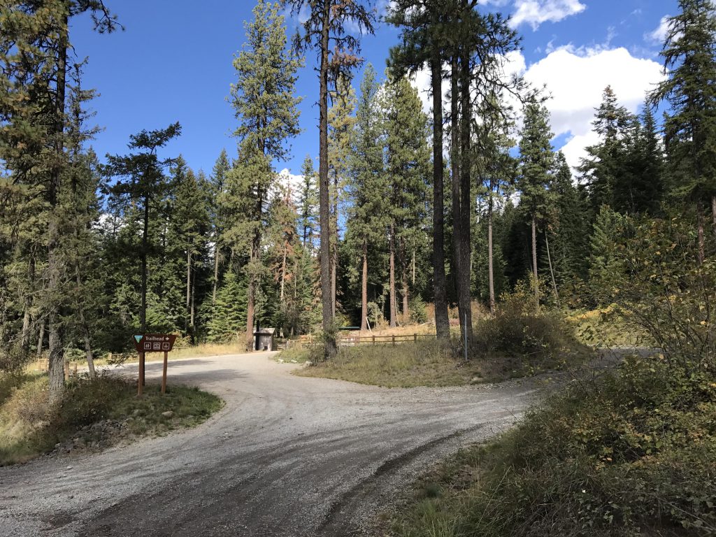
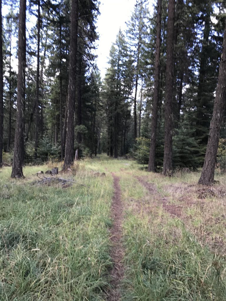
The Blue Creek Bay area is conveniently located at the east end of Lake Coeur d’Alene, only a few miles from the city, and most of those are on I-90. The lower trailhead (non-motorized boat launch) offers picnic areas and several docks. The trail commences on the left-hand side of the road (as you approach) and immediately ascends the hill, covered by a dense and lush forest canopy. The trail is well marked with blue blazes. Bear left (straight) when you get to the first marker that seems puzzling. As you continue, the trail meanders through open meadows, crosses Yellowstone Trail Road and leads to the upper trailhead. The trail continues to the right of the trailhead and gets steeper as you go on, with a few switchbacks making the steepest parts easier.

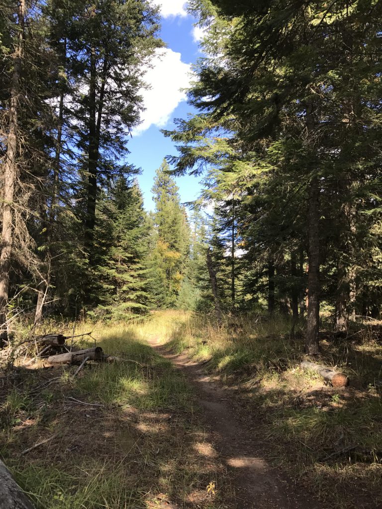
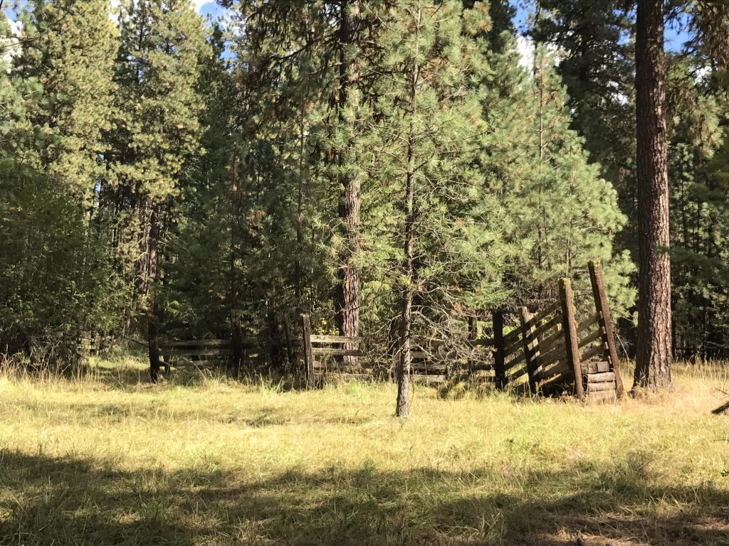
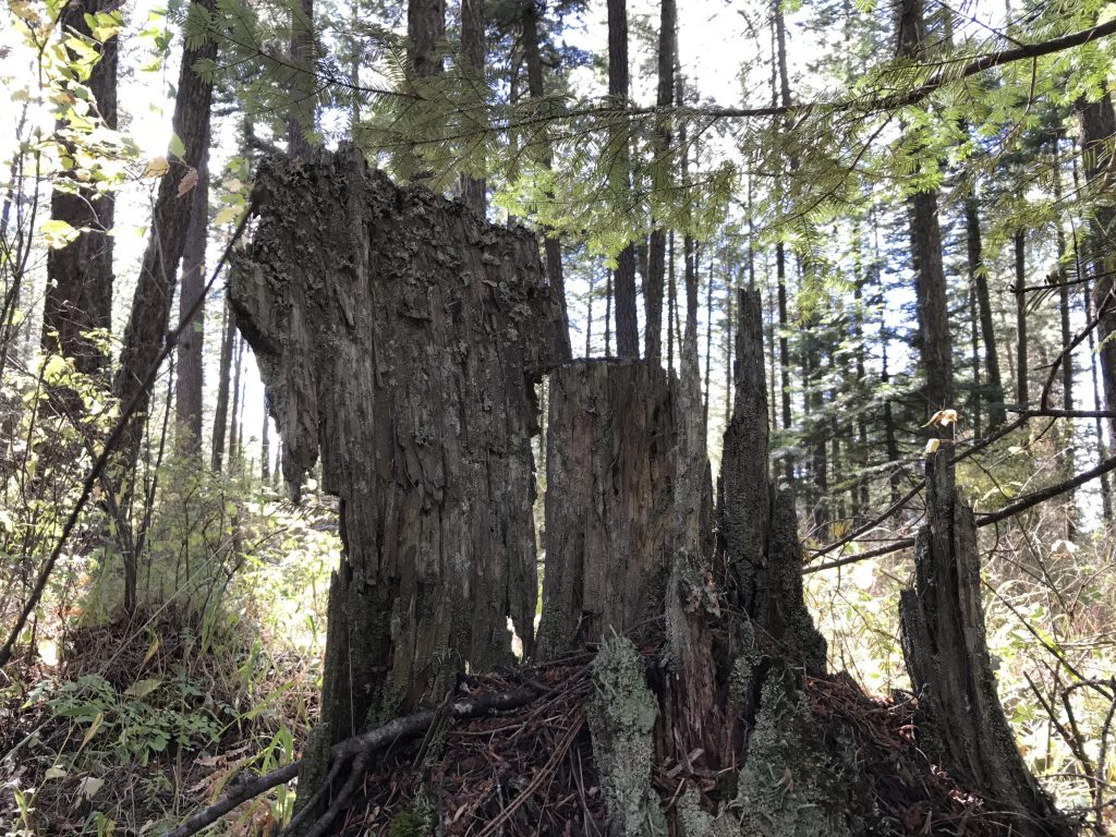
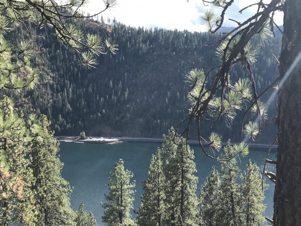
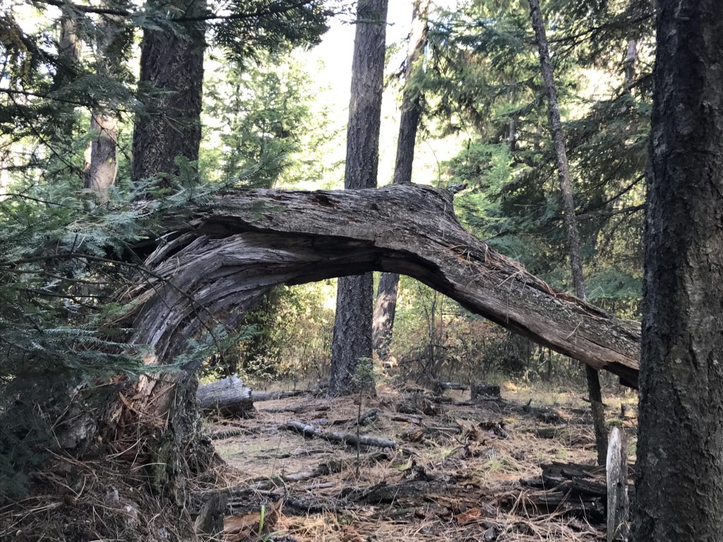
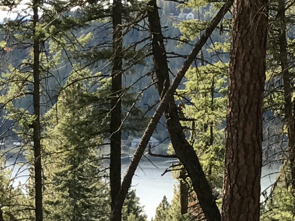
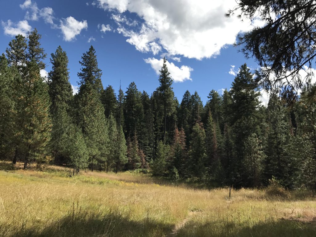
As soon as you emerge on the ridge, the forest recedes and gives way to open meadows. The trail widens to a double-track as it dissects the meadow. To the left are remnants of an old corral, attesting to the area’s former agricultural and logging uses. The trail continues to ascend, veering off to the left, and then moving into the forest once again, taking the shape of a single track. The shade is welcome on a hot day, but doesn’t last long, as the trail soon crosses the next meadow, morphs into yet another old logging road, and climbs the ridge once again. At the ridgeline, the trail turns almost 180 degrees, and continues slightly uphill, promising the hiker incredible views of Lake Coeur d’Alene. Soon the highest point of the hillock is attained and all hopes for a great vantage point are dashed. It is pretty nonetheless, a park-like setting with trees interspersed with glens and meadows. At the end of this plateau, the main path (old logging road) swerves north and downhill; instead, follow the single-track straight into the woods. The path is unmarked, aside from an arrow pointing south with the label “Ruby Ridge”. It is well-trodden, though, and easy to follow. It also offers the best views of Lake Coeur d’Alene, especially Wolf Lodge Bay and Mineral Ridge. The path drops, following the contour of the ridge. Near the bottom it swerves to the right, picking up another old logging road, which leads to another marked as the “red” trail. Continue upwards on this road and take a left on the “orange” trail after a few hundred yards. The orange trail (also an old logging road) offers occasional filtered views of Lake Coeur d’Alene and Blue Creek Bay. It makes its way uphill steadily, where it joins up with the “blue” trail. Follow this downhill and back to the trailhead.
Alternate Routes
Things to Consider
Not so great
I like your web site, it has unique information, Thanks!