- Coeur d’Alene Mountains
- There are campsites along Marie Creek, especially between the one mile and three mile markers
- No decent campsites are at the end of the spur
- There are camping opportunities along the high ridge, but none are really appealing and all lack water
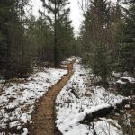
- The trail was in great shape, except for the last spur along Marie Creek. Along that last mile, stick close to the cliff side to avoid the worst of the jumble.
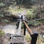
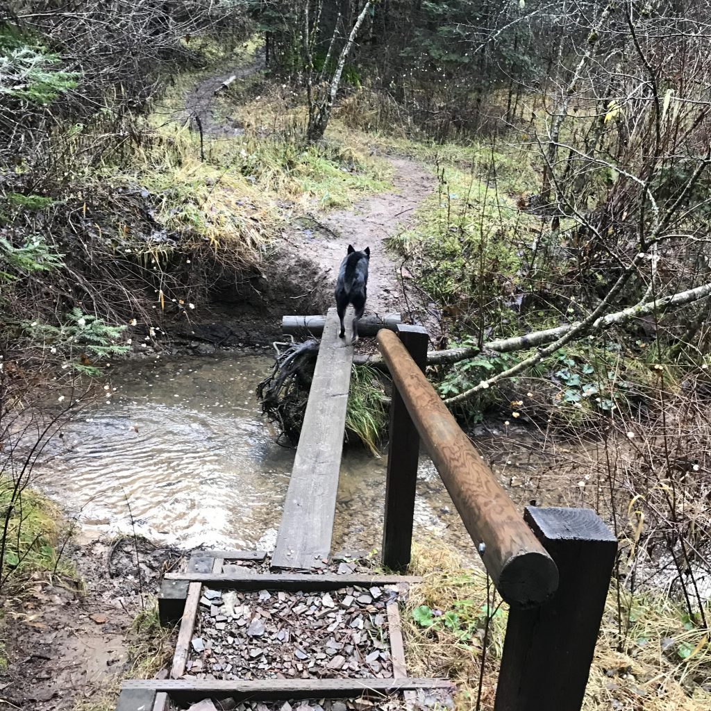
Marie Creek trail #241 almost immediately crosses Searchlight Creek by means of a plank and moves uphill in a series of usually muddy switchbacks (the elevation gain is less than 400 feet). The forested ridge provides only limited views of the Marie Creek valley, but there is pretty bench if you’re in need of a break.
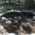
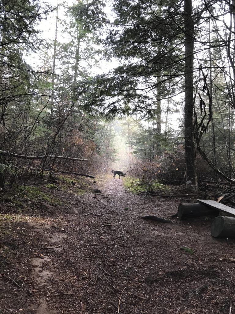
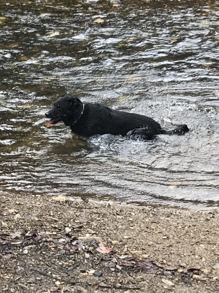
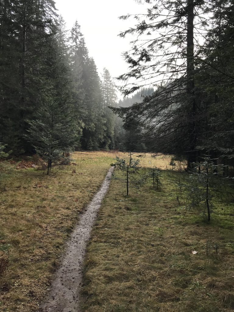
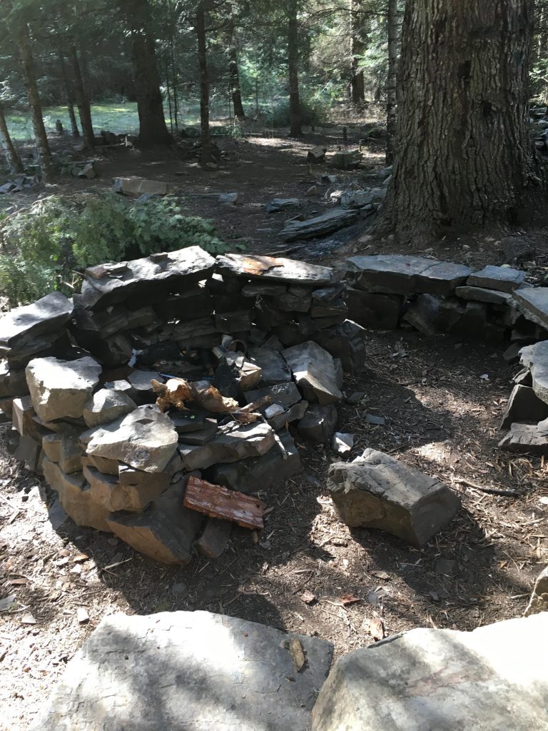
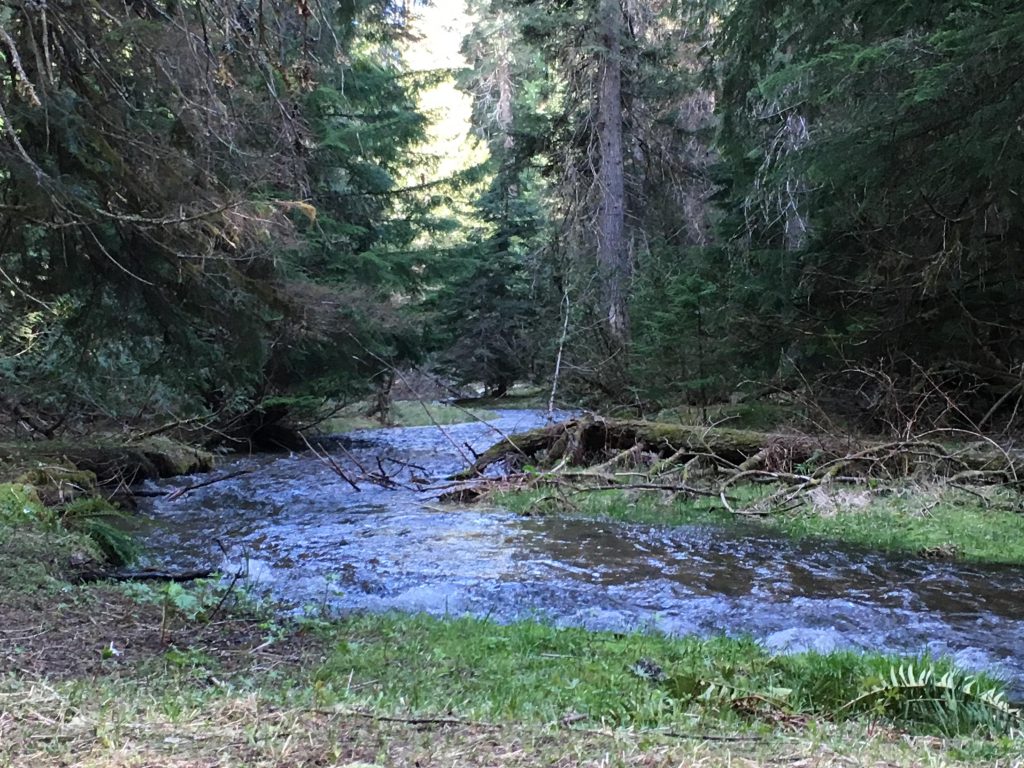
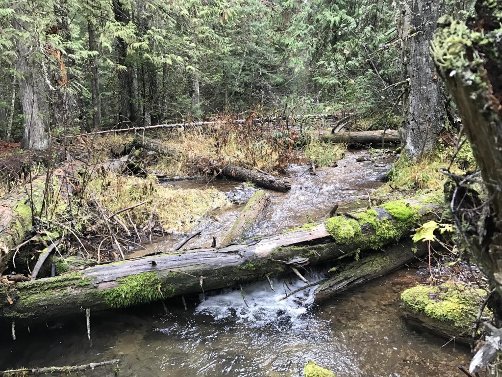
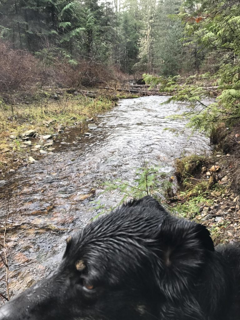
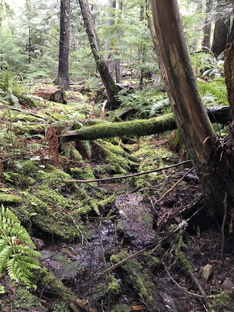
The trail then descends on the far side, contouring to the left at first, then curling around the flank of the mountain and steadily losing altitude. At the bottom it leads to a first encounter with Marie Creek, which may end in a bath if you are so inclined. The trail then parallels the creek, which remains within earshot, but is hidden by dense forest. Soon Burton Creek needs to be crossed, an easy rock hop, then the trail opens up on a wide meadow complete with campsite (including a giant fireplace!). Don’t worry if the campsite is taken, 2 or 3 more follow within a mile and those are much closer to the creek.
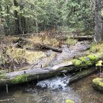
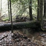
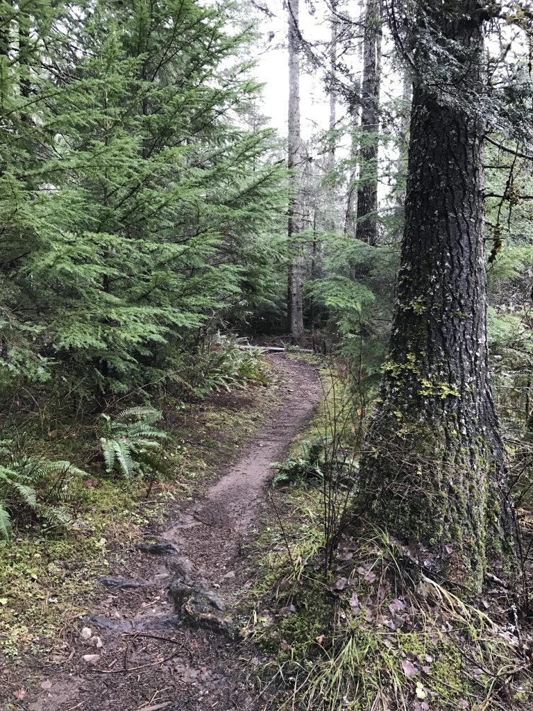
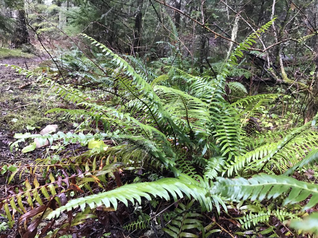
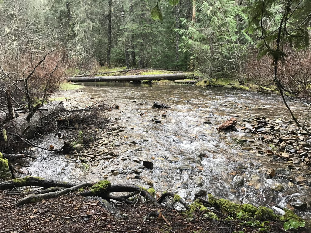
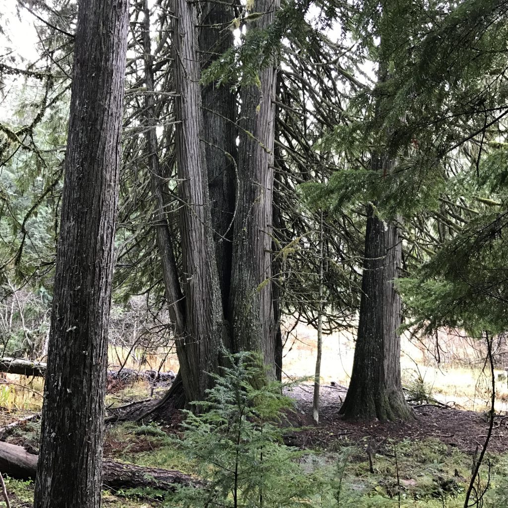
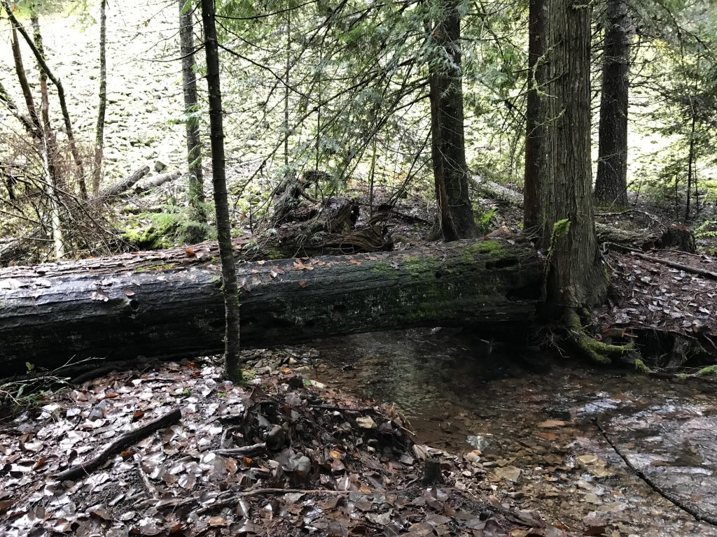
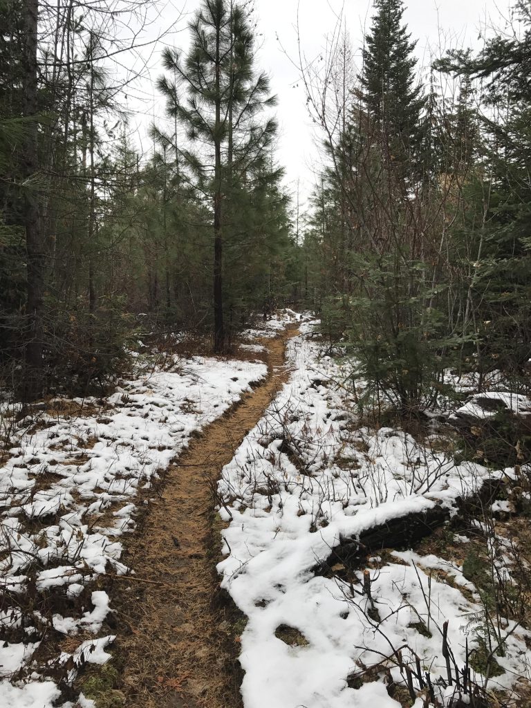
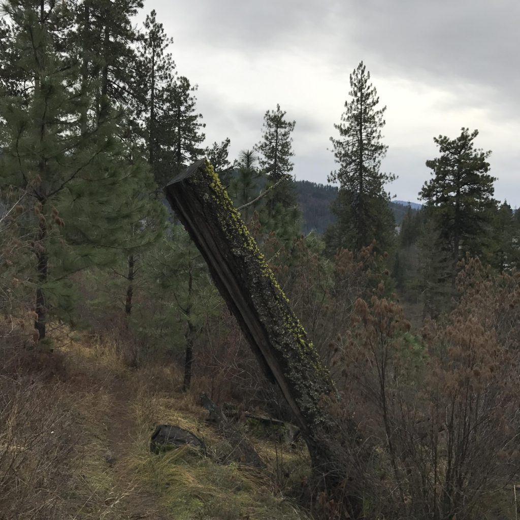
The trail remains relatively flat and follows the creek for another mile, the forest changing more and more towards cedar and fern. The trail approaches the creek frequently and especially at the confluence of Skitwish Creek gets very muddy. The bridge across that tributary was washed aside years ago; nowadays a slick log does the trick.
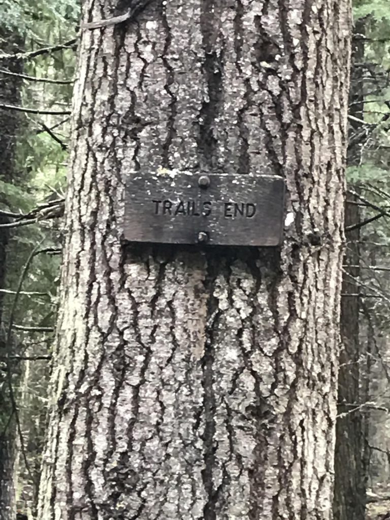
On the far side of the Skitwish, follow Marie Creek for another 1.5 miles to the trail’s end. The last mile especially is crying out desperately for a bit of chainsaw TLC. Stay to the left (cliffside) to avoid the worst of the blowdowns. The trail’s end is somewhat uneventful: it simply stops. The bushwhack to the creek is easy, though, and the creek’s grass-covered bank invites you to rest.
Then it’s time to backtrack to Skitwish Creek. Instead of crossing the creek, follow its bank upstream along a pleasant trail. Soon the creek is crossed by means of two giant logs and the trail weaves up the hillside in a never-ending series of switchbacks (the trail is a bit confusing right after crossing Skitwish Creek; make sure to take a left at the intersection).
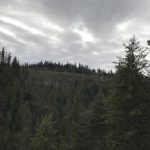
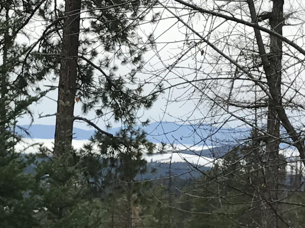
The trail eventually reaches the ridge and emerges onto an old logging road. There is a maze of old logging roads on the ridge and the trail is only partially marked, so beware (also, none of the logging roads are marked on the old USGS topo maps). The first intersection, however, is well marked. Take a right, which is really straight, and follow the curve of the road to another, unmarked intersection. Bear left (bearing left on these roads is typically a good idea) and left again after about another 100 yards. While up there, enjoy the mountain views! The road is wide and relatively flat and heads steadily westwards to a sharp northward bend and here the trail leaves the logging road (it is well signed) and climbs the spine of the ridge.
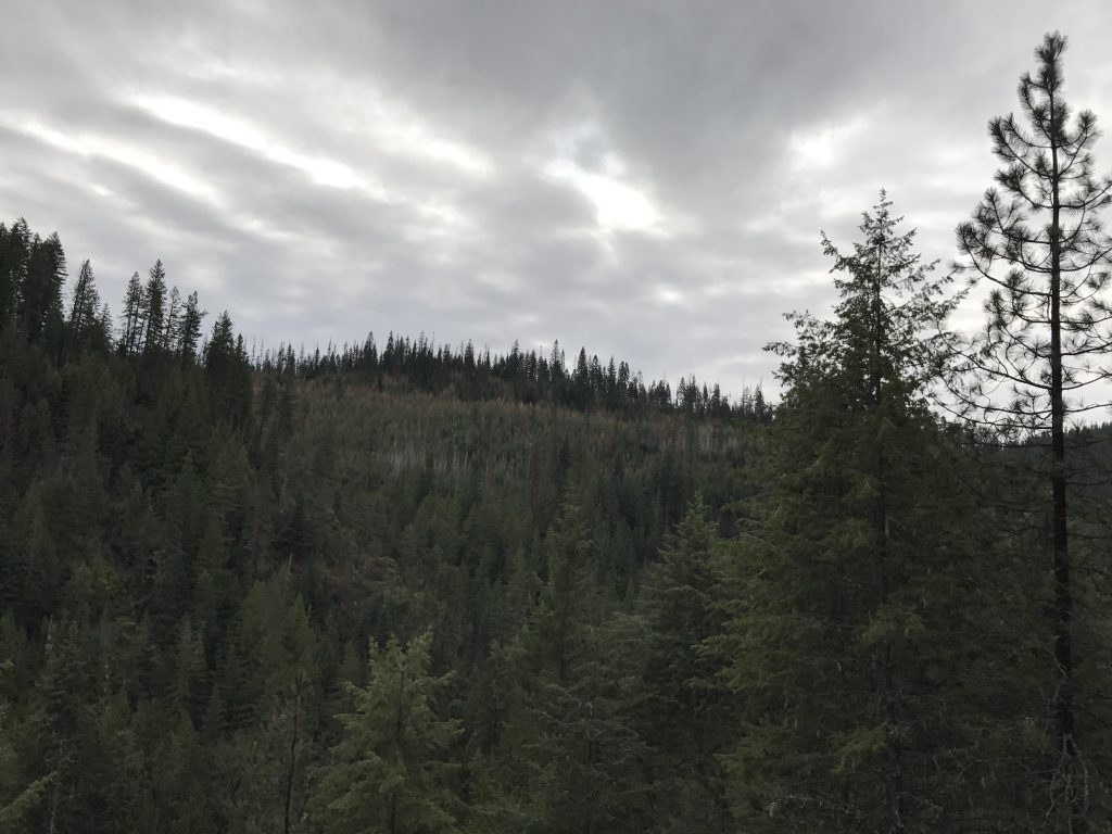
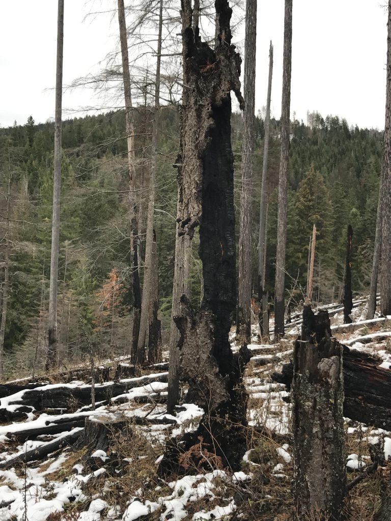
The recently-maintained trail keeps climbing, then descends in a few switchbacks on the other side and once again emerges onto a logging road. Unfortunately this one is not signed at all, except for the trail you came in on. Taking a left will lead down to a saddle, then resume the ascent on the far side and spill out onto FR 202. Unfortunately no signs there either. Head downhill on FR 202 for perhaps 100 yards to another logging road. Follow this road in just a bit and let the signage (which is excellent in this spot!) guide you left and uphill. This leads across the hill, then downhill to an area of a former wildfire. The larch saplings are already well on their way, though, and the bullpines area 15-20 feet tall in places.

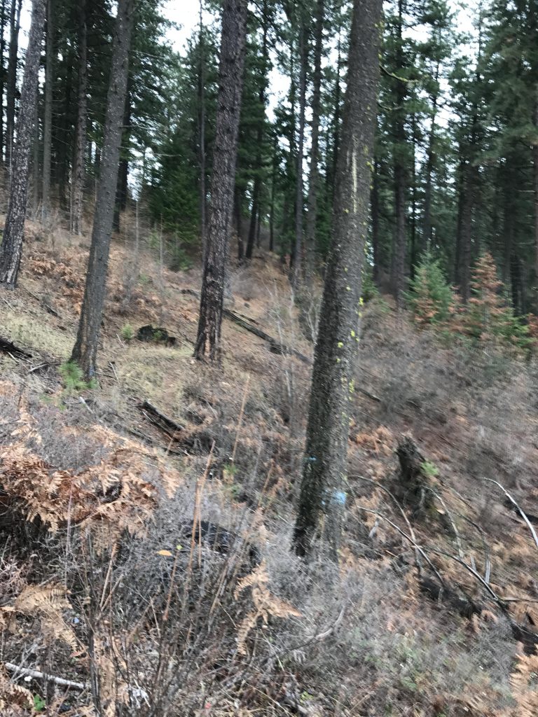
The trail continues downhill along the spine of the ridge for almost three miles, then descends sharply (via the ubiquitous switchbacks) onto a saddle where three logging roads and another singletrack converge. Unfortunately, the only signed trail is the one you were on! We took the singletrack at the opposite end of the saddle. It lead through another burn area and after a quarter mile deteriorated markedly until it was little more than a deer path. Soon after it was mostly bushwhacking. We spent some time looking for a real trail, but to no avail. Another logging road brought us closer to the trailhead, but we were high up on the ridge. The hillside was densely forested which made for a cumbersome downhill scramble. Looking at the satellite map, you’re probably best off taking a left at the saddle and following that logging road to FR 202. You’ll have to hike about half a mile on FR 202 to get back to the trailhead, though, but that’s definitely easier than the bushwhack!
Alternate Routes
- Return when meeting Skitwish Creek. That makes for about 6 miles roundtrip and the total elevation gain will be well below 1000 feet
- Or, continue to the trail spur’s end, then return the way you came. This is about 9 miles and also less than 1000 feet in ascent
Things to Consider
Not so great

can you ride a 4 stroke dirt bike on the trail?
No, it’s for people and stock only. No dirt bikes or mountain bikes (the trail was put in by the Backcountry Horsemen)
Awesome!!! Great swim pics.