- Coeur d’Alene Mountains
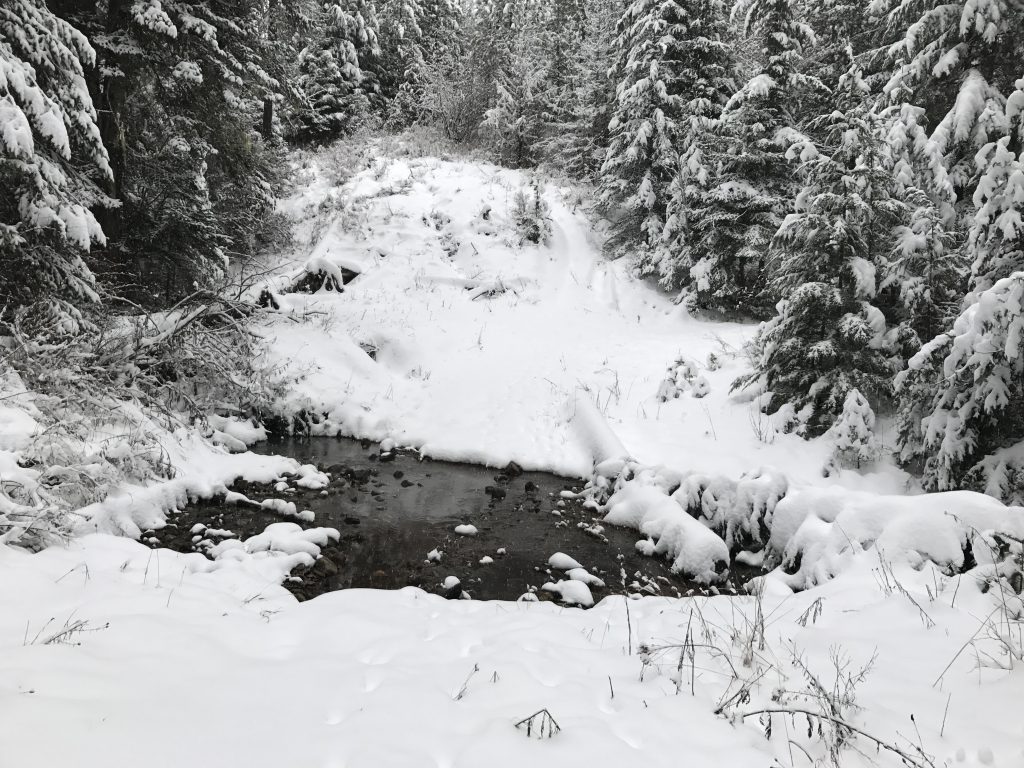
- There are a few campsites a short way into the hike, along the edge of Dry Gulch
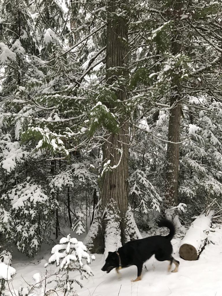
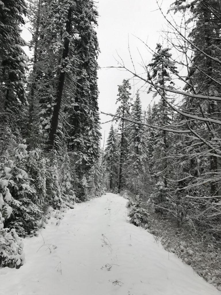
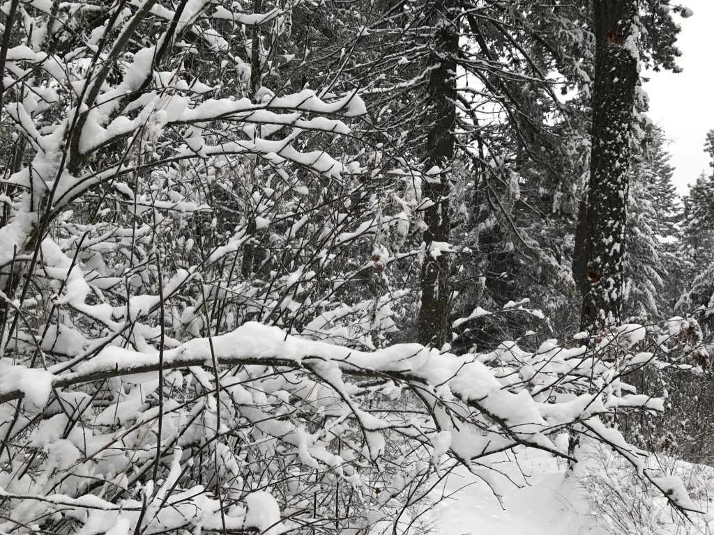
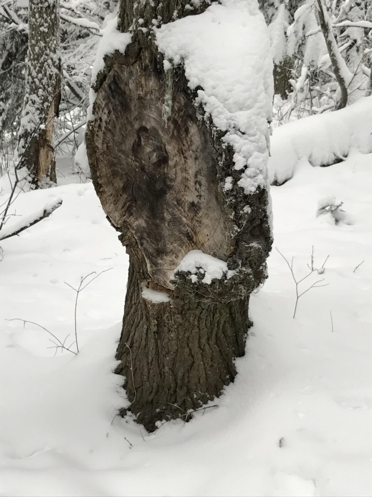
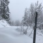
- There were a few trees to climb over, mostly along “D” and “9” trails; otherwise the trails were in good condition. However, they are severely rutted in many paces from heavy motorbike usage.
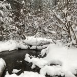
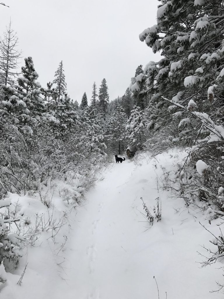
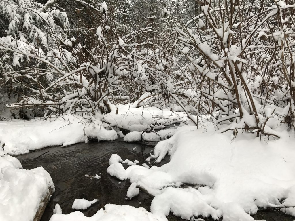
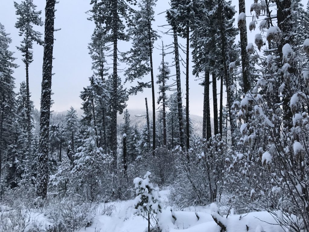
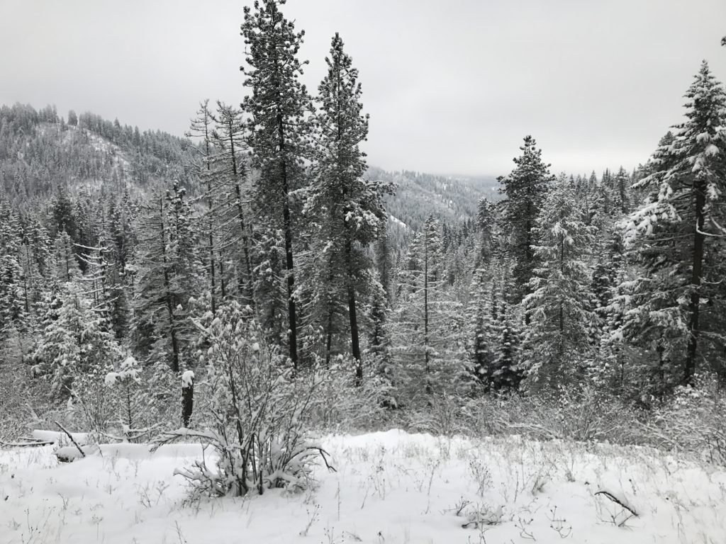
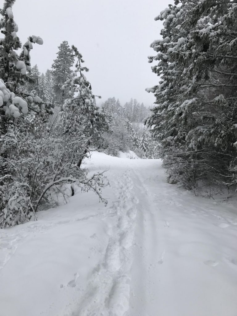
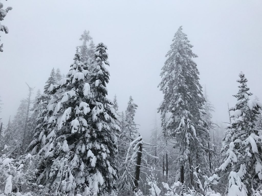
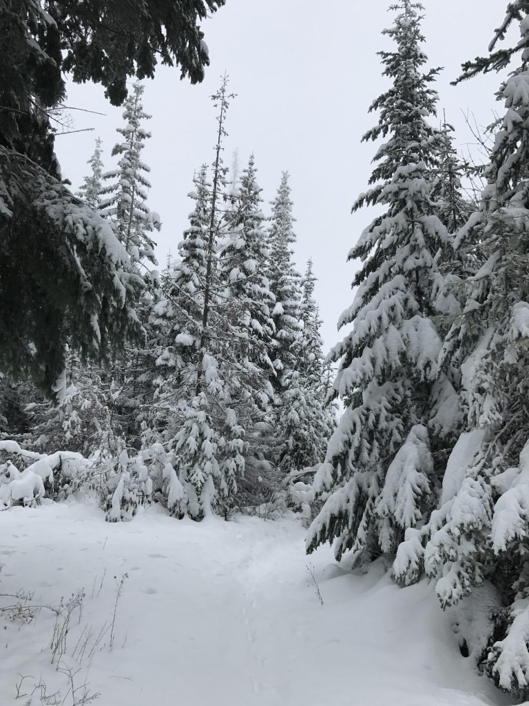
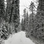
The trail (#10) starts at the rear of the parking lot and parallels Dry Gulch through mixed cedar, fir, and pine forest for about a quarter mile. The trail crosses the creek and climbs the mountainside at an angle. Shortly afterwards, the forest opens up and enables views of the surrounding hillsides. A number of switchbacks help with the ascent, but it really isn’t all that steep. About a mile into the hike the trail emerges onto an old fire road (now called “A”) at the Resolution Station.
Cross the road and turn upwards at a steeper angle; in fact, this is the steepest section of the trail as it simply follows the ridge straight up. The trail crosses another fire road and after a half mile emerges onto a fire road called “B”. Cross the road and head north, in a sweeping curve along the side of the mountain and then back onto the ridge. The trail is now both “B” and “10”.
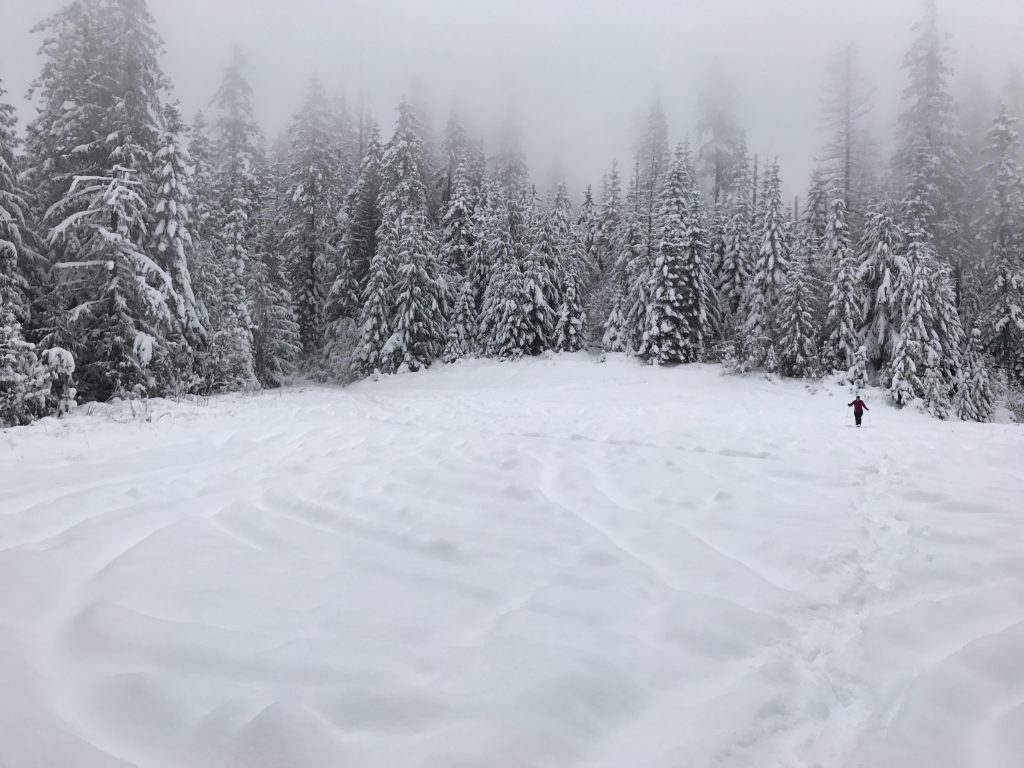
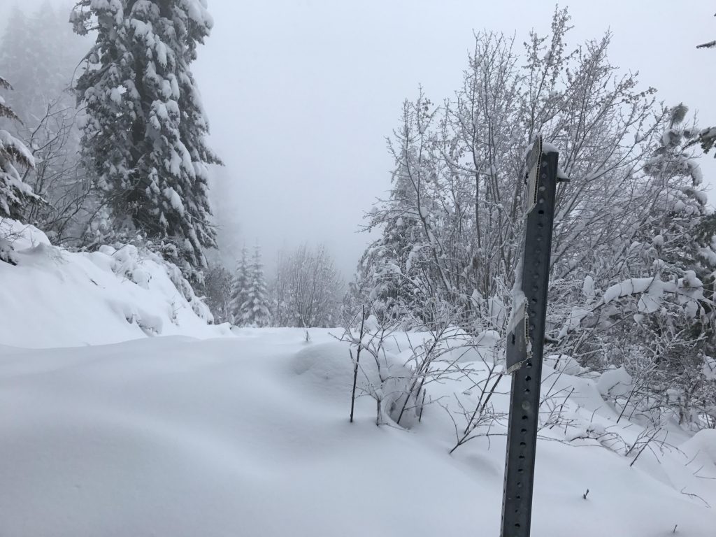
Shortly before the 3-mile mark the trail splits, with “B” bearing left and “10” going north. The #10 trail is a bit overhung by shrubbery, but after about 50 yards a sign identifies the trail. Continue up along the ridge, at a less steep angle now, to the junction with trail “D”. At that point head west, and slightly downhill, a section of trail that has been deeply rutted by motorbike use. The trail opens up onto Stacel Saddle at the 3-mile mark. A number of fire roads converge here. Take the single track that ascends the hill at the opposite end of the saddle (ie, between the 2 fire roads heading west). This trail section is also much carved out and makes traversing in snowshoes challenging. The trail ascends once again and reaches the pinnacle–East Canfield Butte–just before the 4-mile mark.
Continue on “D” to the intersection with trail #9 (Jump Trail). Since the views from East Canfield aren’t the greatest, you might take a short detour along “D” to West Canfield. Otherwise drop down steeply along trail #9, crossing FR 1562 and try not to miss the Y where trails #8 and #9 separate (around the 4.5-mile mark). Head east here to stay on #9 (I missed it and went down #8 to the junction with “B” and followed “B” eastwards to its intersection with #9; beware of that if you follow my GPS tracks).
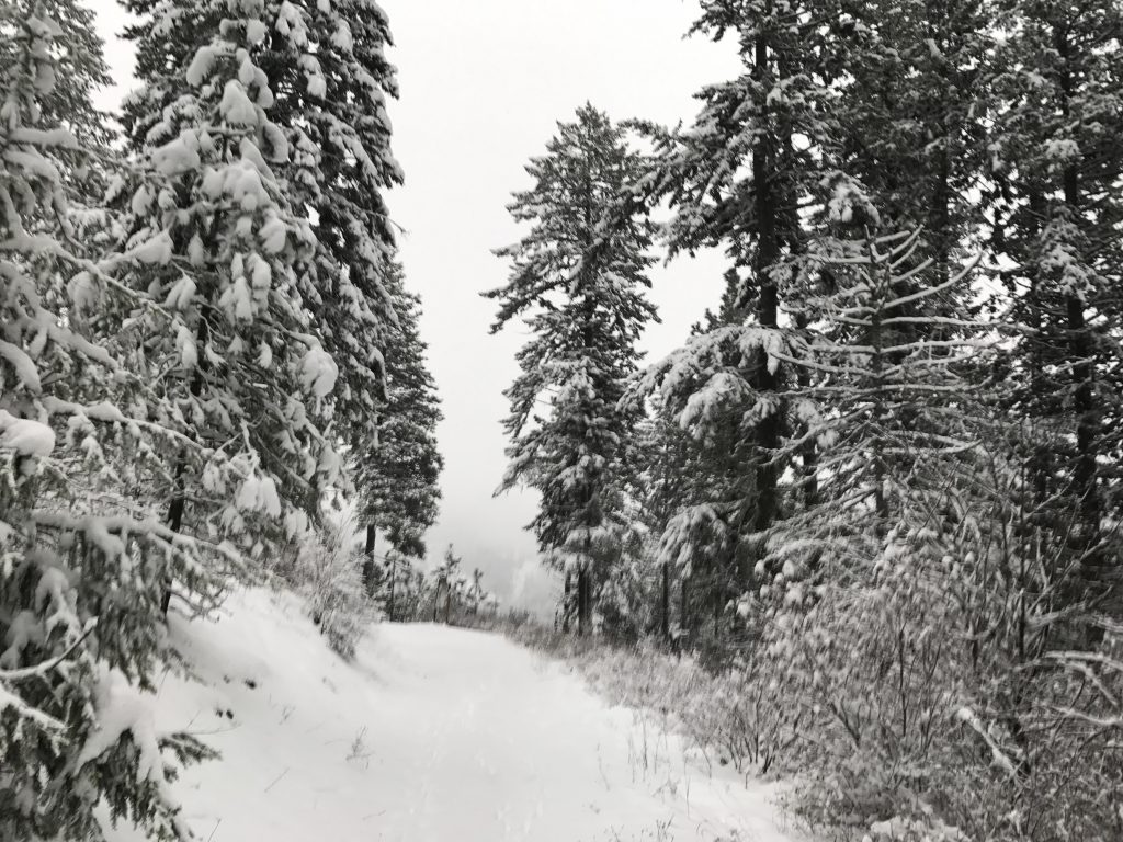
The trail continues to drop sharply to Jump Station (intersection with “A” trail). Continue downhill all the way to Stacel Draw. After crossing the creek, take a sharp left, steeply uphill. Or, do as I did and follow the fire road to the very edge of the National Forest and then loop back in a sweeping arc and head uphill to trail “A”. Follow trail “A”, a wide fire road, back to Resolution Station. From there it’s a mile back to the trailhead.
Alternate Routes
- Continue on trail “D” to West Canfield Butte
- From Jump Station, follow trail “A” to Resolution Station
Things to Consider
Not so great