English Point Loop

English Point is a small enclave of National Forest land on the west side of Hayden Lake. As such, it is surrounded by residential housing and offers over five miles of hiking trails close to the city of Hayden. Though somewhat lacking in either a spectacular destination or interesting sights along the way, the trail is a pleasant walk in the woods close to the city. It is a National Recreation Trail.
Location
  • Coeur d’Alene Mountains
Rating
2.0 out of 5
Difficulty
Easy
Distance
5.1 miles
Duration
1:29 hours moving time (Hiking)
Elevation Gain
227 feet
High Point
2,591 feet
Low Point
2,467 feet
Features
Outing Type
  • Daytrip
  • Trail Type
  • Loop
  • Trailbed
    Packed dirt
    Trail#
    80
    Water
  • There are small brooks and a pond, but given the close proximity of civilization I wouldn’t recommend it…
  • Camping
    • None (pit toilets at trailhead)
    Conditions
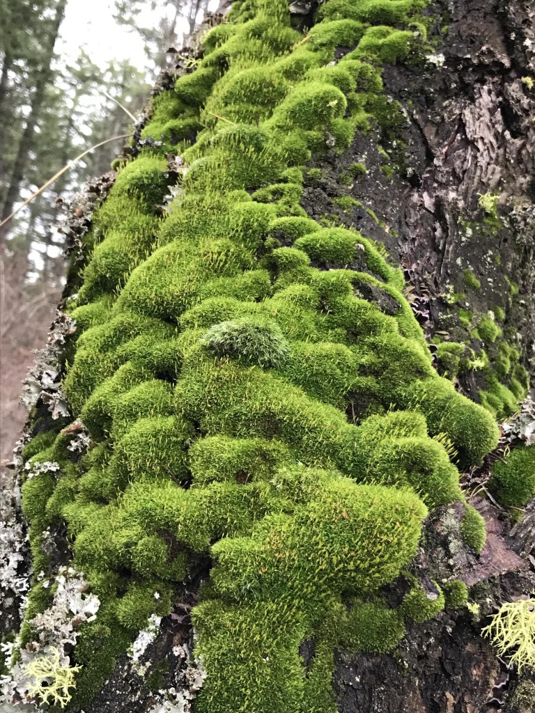
    • The trail is well maintained
    Administration
  • Coeur d’Alene National Forest
  • Status
  • National Recreation Trail
  • Maps
    USGS
  • Hayden Lake
  • Fees & Permits
  • None required
  • (None required)
    Open To
  • Hikers
  • Dogs
  • Horses
  • Mountain Bikers
  • (no bikes on the Red Trail)
    Directions
  • Take I-90 exit #12 and head north towards Sandpoint for 6 miles. Turn right onto W Lancaster Road and continue for 3.5 miles. Turn right onto E English Point Road. The trailhead will be on your immediate left.
  • Season
    Year-around
    Resources
      Date
      November 24, 2016

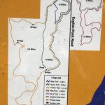
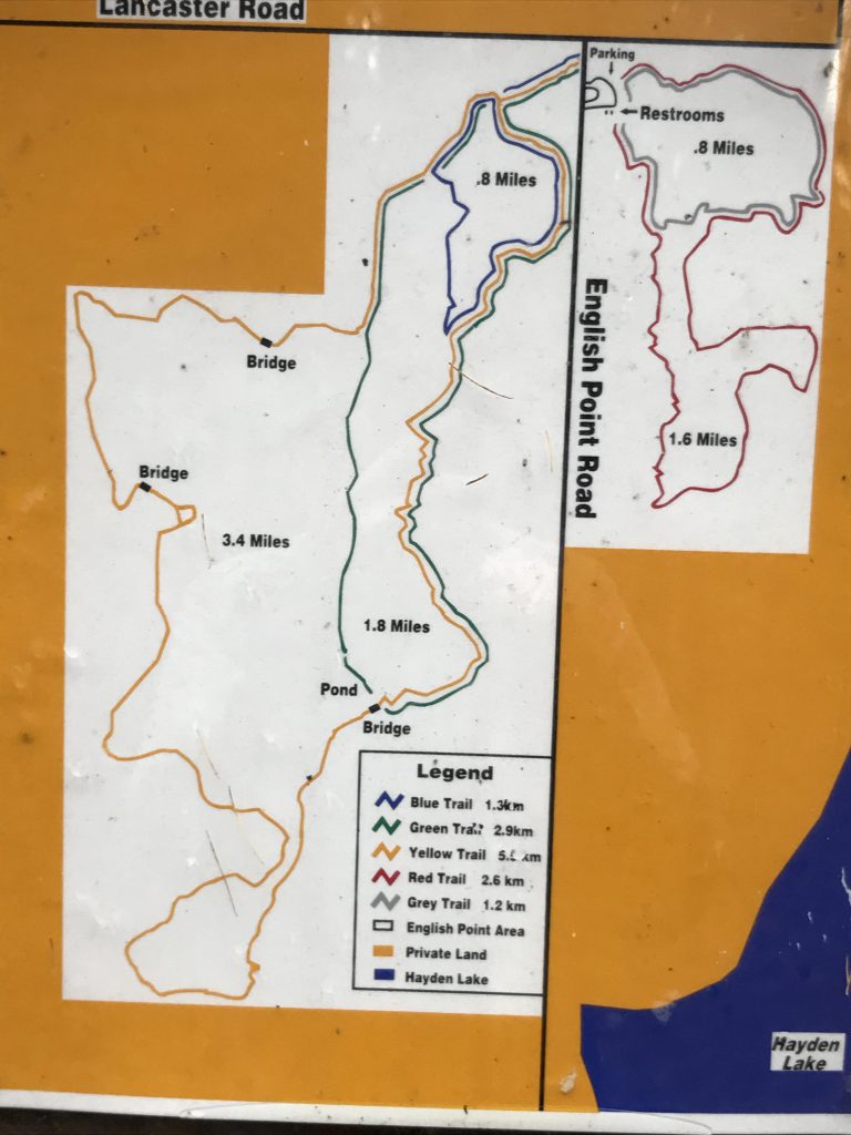
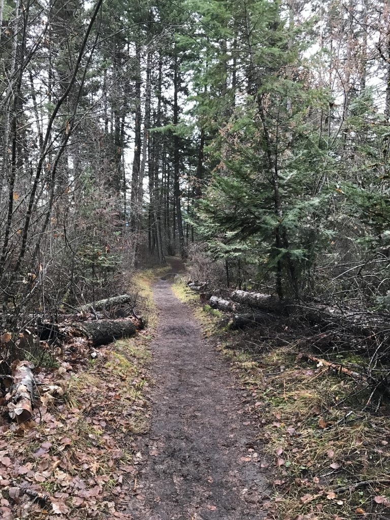
      The English Point trail system consists of two main loops, the Red loop on the east side and the Yellow loop on the west side. There are a number of others, but those are mere shortcuts to the two larger ones. The Grey trail is a shorter version of the Red loop and the Blue and Green trails are subdivisions of the Yellow loop. The trails are well marked with placards and get heavy use.

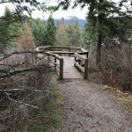
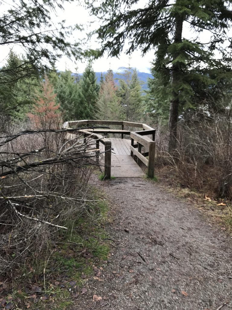
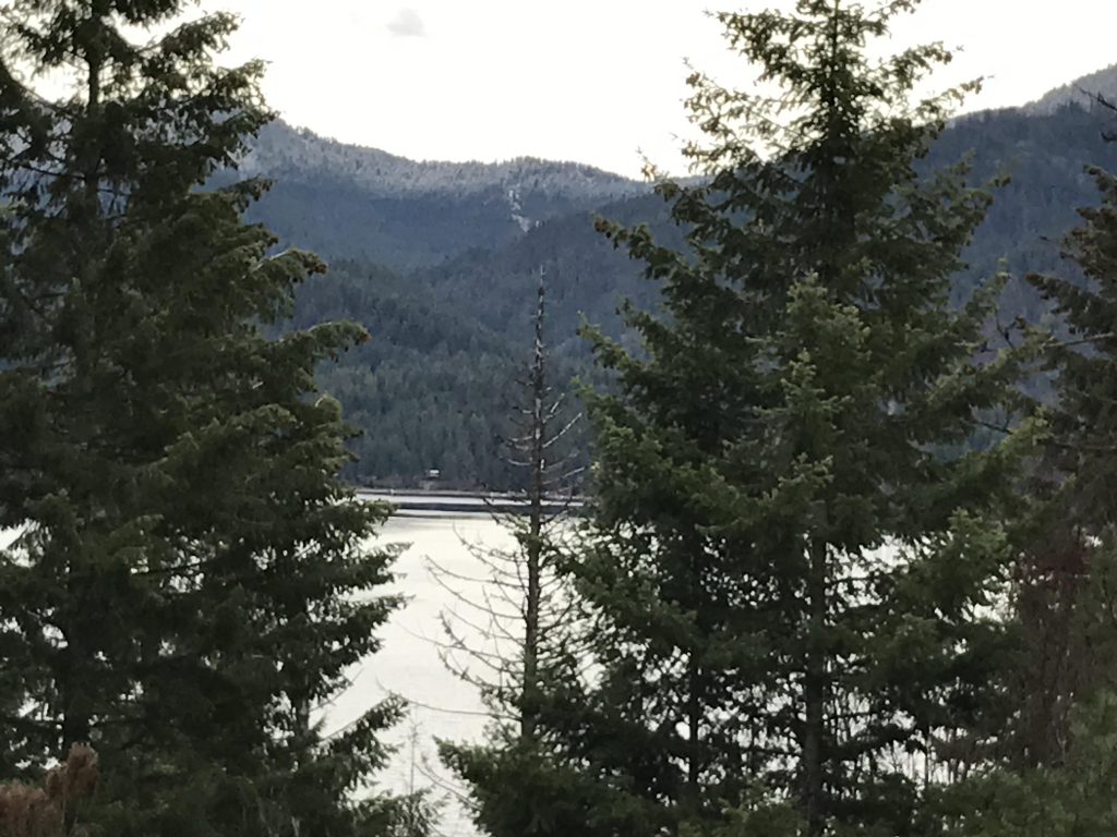
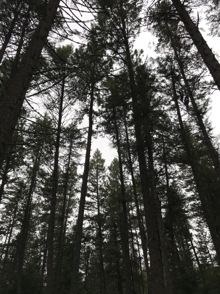
      The Red trail (1.6 miles) is mostly for hikers, with limited access for horses and no access for mountain bikers. It is a fairly wide path with a gravel surface that tends to be less soggy than the Yellow trail. It meanders through the woods with occasional filtered views of Hayden Lake and the Canfield range; such views are best at the southern tips of the loop. There are frequent benches and even a viewing platform.

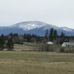
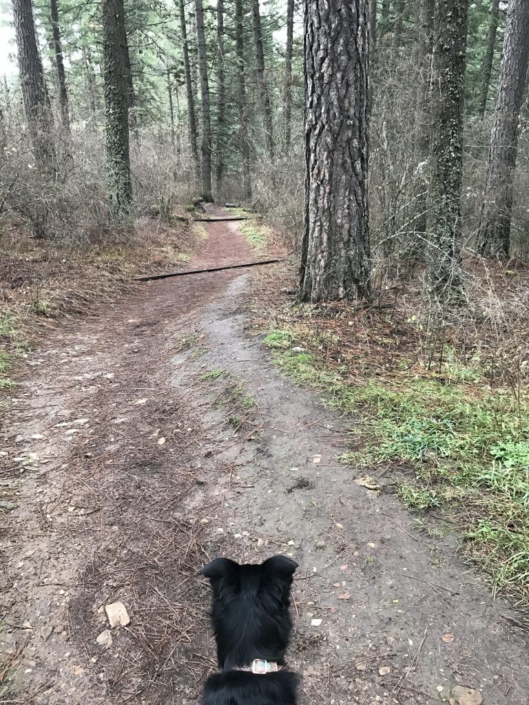
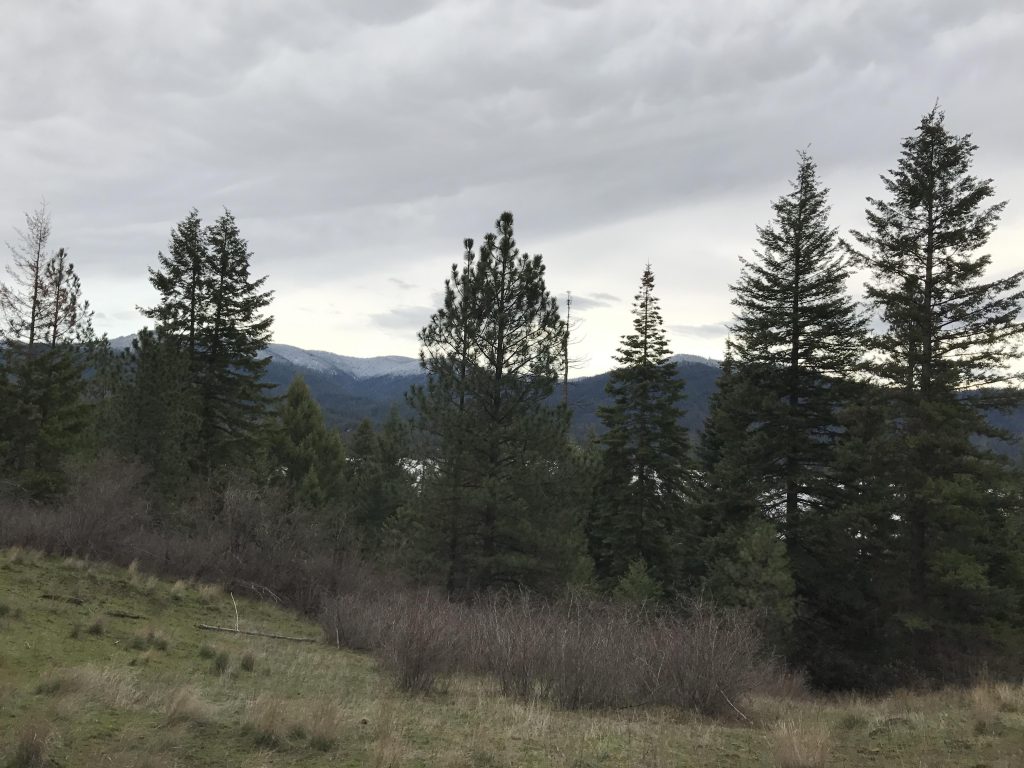
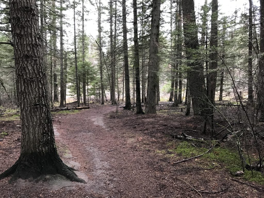
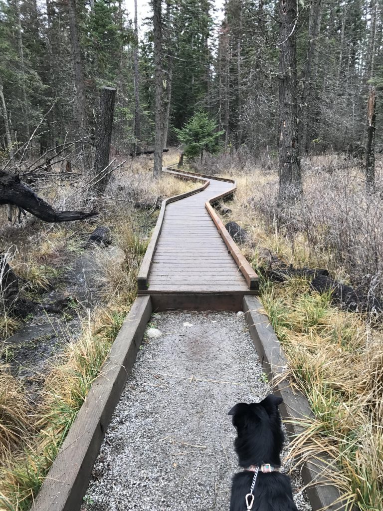
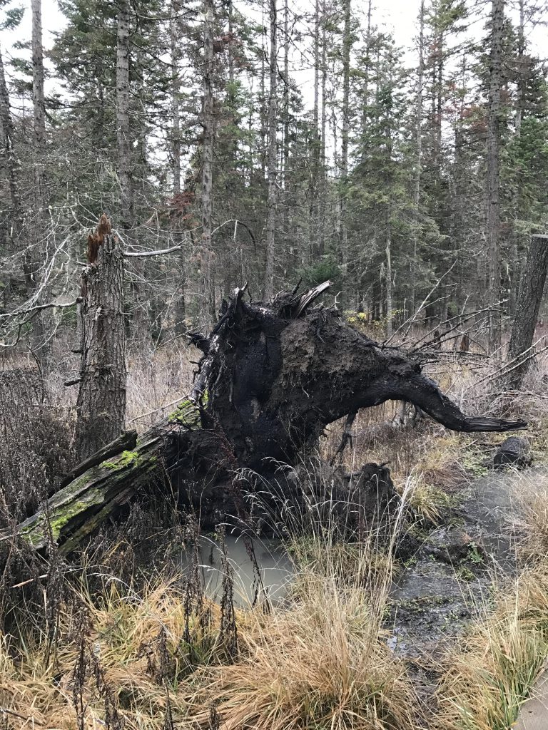
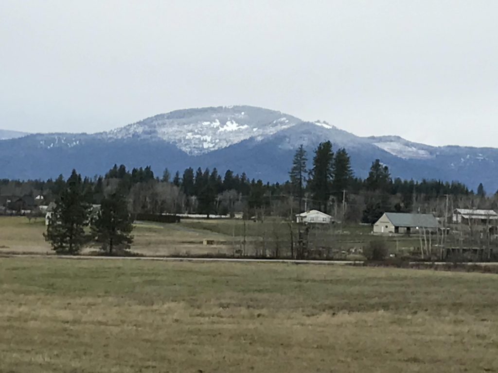
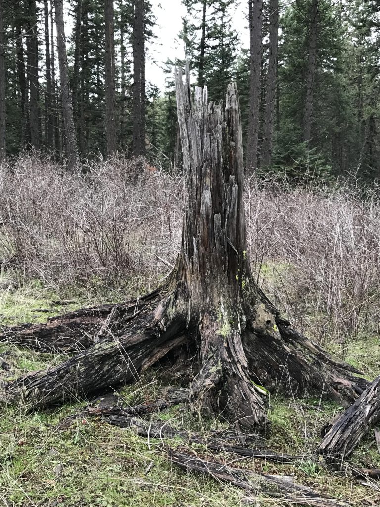
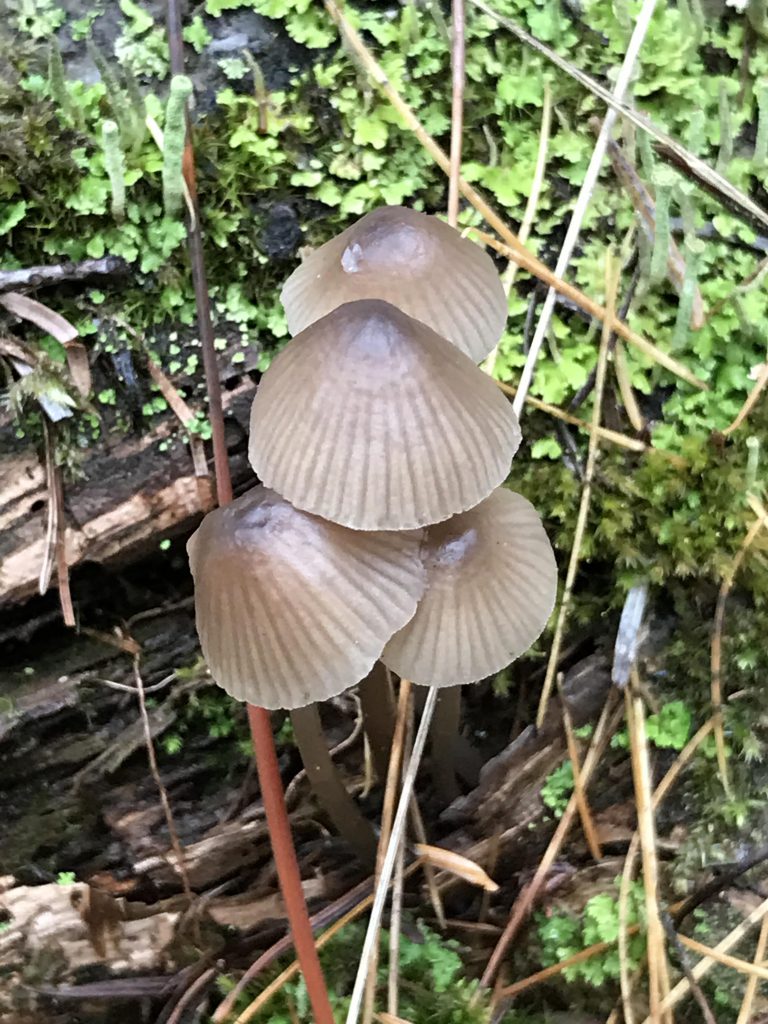
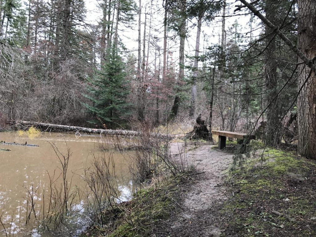
      The Yellow Trail (3.4 miles) is open to all non-motorized traffic. It also is a fairly wide trail, but very muddy in spring and fall (likely not much of an issue during the hotter summer months). Most of the trail is forested, with occasional filtered views of adjacent residences reminding the hiker of how close to town this trail is. The woods are more open than the Red Trail, with frequent clearings. As the trails turns sharply eastwards, it approaches the edge of the Forest Service enclave and enables vast views of the surrounding farm land. There are also a number of bridges along the trail, as well as a small pond complete with boardwalk.

      Alternate Routes

        Things to Consider

          Not so great

            Trailmap sign
            Beginning of Red Trail
            Moss thrives during wet months
            Filtered views of Hayden Lake
            (Hopefully) decommissioned deer-hunting tree stand
            Viewing platform on Red Trail
            Hayden Lake & Canfield
            Red Trail on approach to swamp
            Boardwalk across swamp on Red Trail
            Overturned trees on Red Trail
            Views across farmland
            Mosses growing on pines
            Tree stump in clearing on Yellow Trail
            Fall is a good time for mushrooms
            Pond on Yellow Trail
            Trees along Yellow Trail
            The trail is well-maintained

            3 Comments

            1. aasmit02 says:

              We enjoyed hiking the yellow loop as a family.

            2. julianne0919 says:

              Great dog pics!! 🐶

            Comments are closed.