- Coeur d’Alene Mountains
- There might be a spot or two, if you like camping close to town
- Excellent
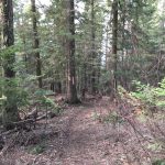
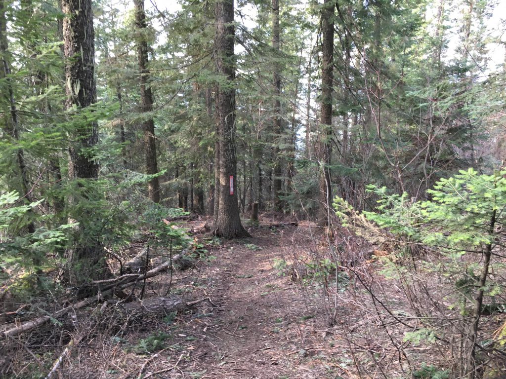
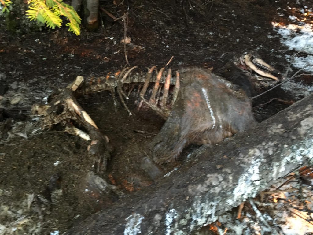
At the end of Wilbur Avenue, the Canfield Mountain trail veers off to the left, past a few residences, towards Tottens Pond. During spring and fall, the trail paralleling the pond may be flooded. A detour leads uphill, a well-trodden single track, but make sure to return to the main path after about 50 yards, because the sidetrail does not go up Canfield Mountain. After entering the woods, the trail crosses Tottens Creek and steadily climbs in an easterly direction. Soon you will reach a fork in both the trail and the creek. You could go either way, the steeper trail being the right-hand one. For variety take that one, following the southern fork of the creek. Shortly the trail angles sharply northwards and away from the brook. This is your last source of water.
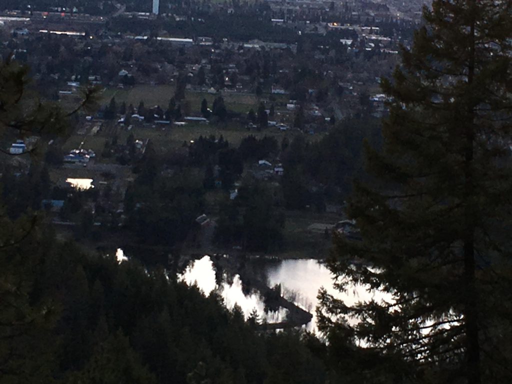
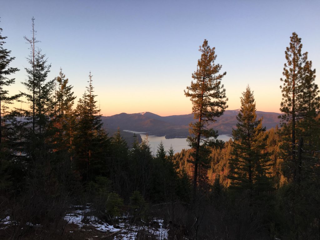
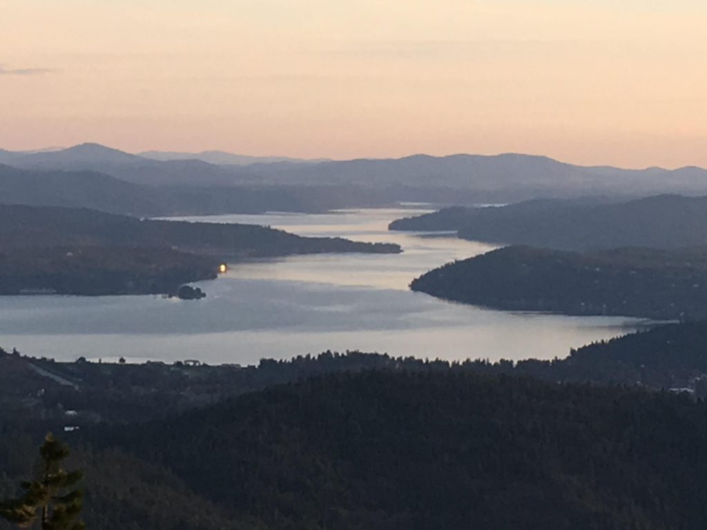
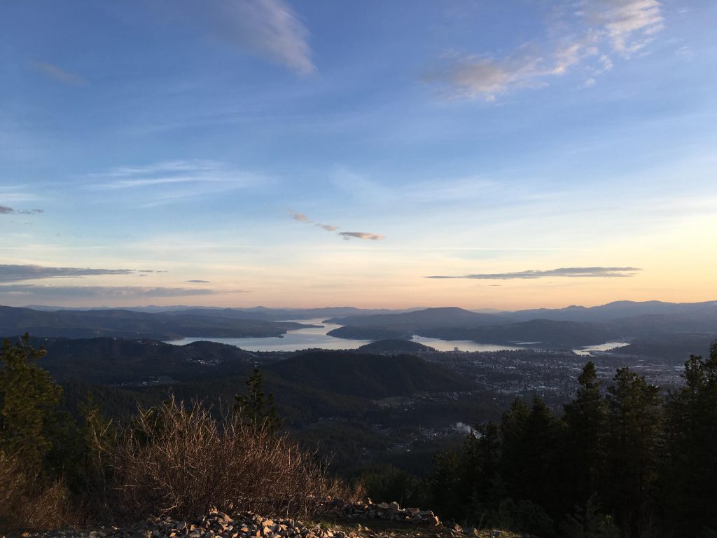
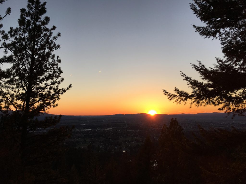
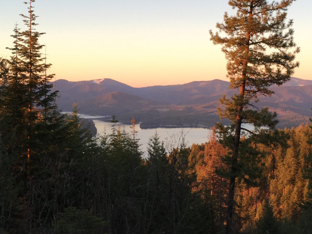
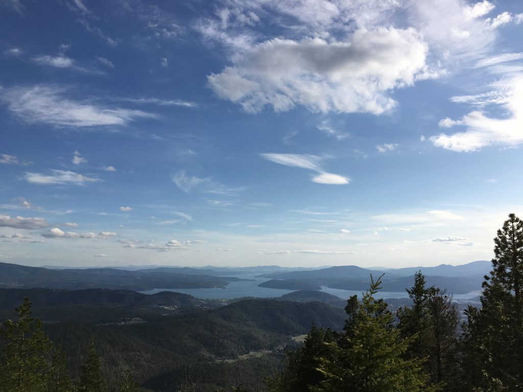
The trail now ascends the flank of the mountain at a steep angle, gaining about 500 feet in a very short time, and emerges onto the main trail. Follow the main trail uphill at a steady, more manageable incline. The trail moves southeast, to a switchback, then returns, all the way climbing and providing a bird’s eye view of Tottens Pond below. The trail hugs the side of the mountain, still nicely shaded, to an open spot with grand views of Hayden Lake. The climb continues at a gradual pace, while the trail curls further and further around the mountain and eventually emerges onto a saddle between East and West Canfield Mountains (at around the 3-mile mark). This is the end of the non-motorized section.

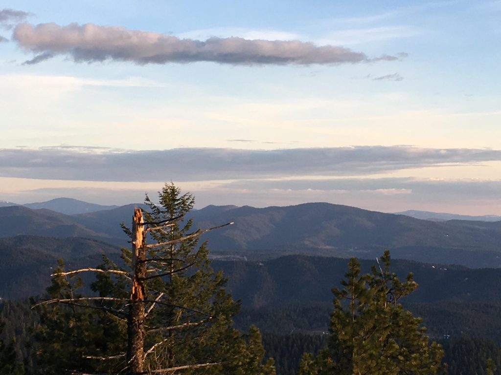
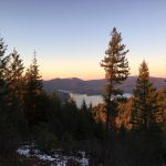
To get to West Canfield, make a sharp right turn and climb what is called the “D” trail for another mile. This trail is heavily frequented by motorcycles, especially during weekends, so beware. Accordingly, it is quite rutted and muddy during rainy periods. The trail reverts in a northwesterly direction, but continues its ascent. About halfway it turns southwest and climbs quickly with the help of a few switchbacks. At the top, the trail morphs into a wider double-track, following a ridgline. At the far end of the ridge it drops to a gravel road, then climbs a very short distance to the antenna towers on West Canfield. Venture out to the rocky outcrops for the best views. The highest elevation was actually the ridge just traversed.

For the way back, use the same route, but bypass the steep flank in the lower third, staying on the wider trail instead. This trail will drop to the main branch of Tottens Creek, which you will step over. About 500 feet beyond that crossing, you will have to take a left towards Tottens Pond (there are several paths leading down, they’re all fine), because the trail along the flats ends up at Crestview Court, an alternate starting point for this hike. Follow the creek down to the pond and along the pond back to the trailhead.
Alternate Routes
Things to Consider
- IMPORTANT UPDATE: The trailhead on Tottens Ponds was closed. Use the alternative on Crestwood Court instead
Not so great