- Coeur d’Alene Mountains
- Not allowed. Neither are fires, fireworks, smoking, and booze. Restrooms are at the Fernan Lake boat launch
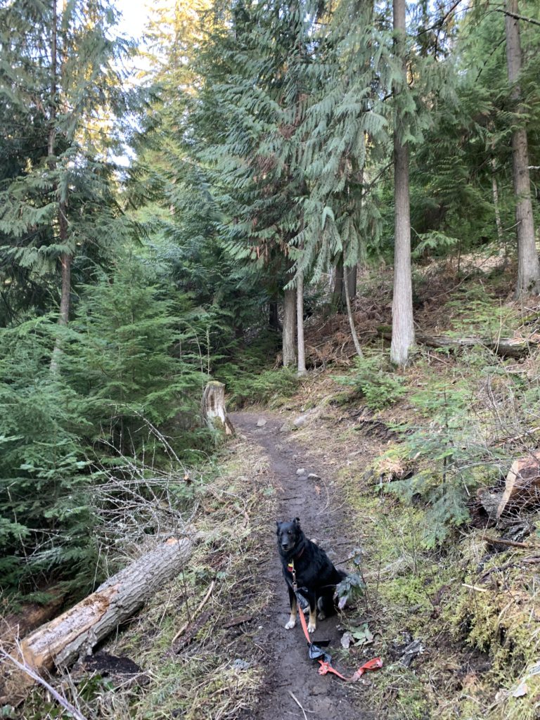
- Very good, but muddy in spring
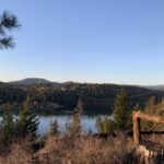
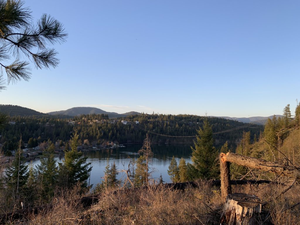
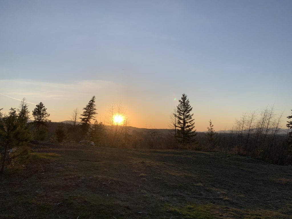
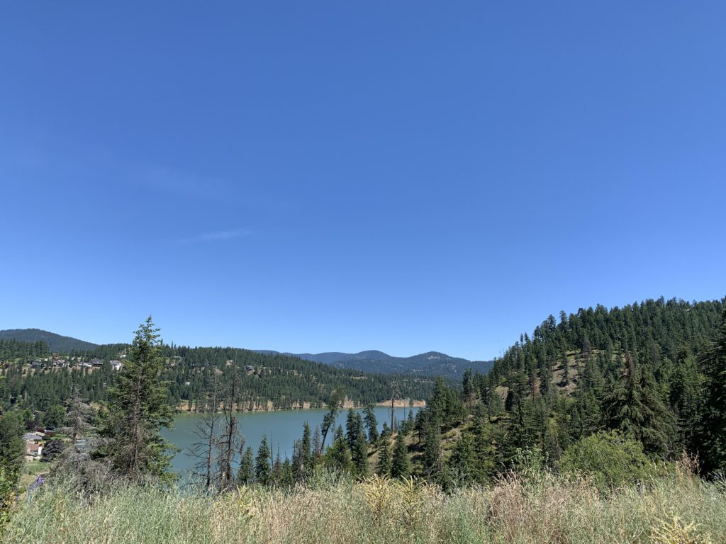
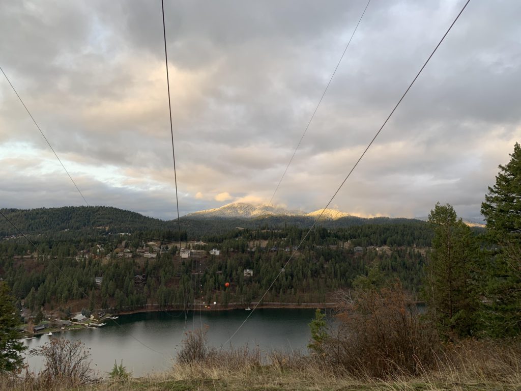
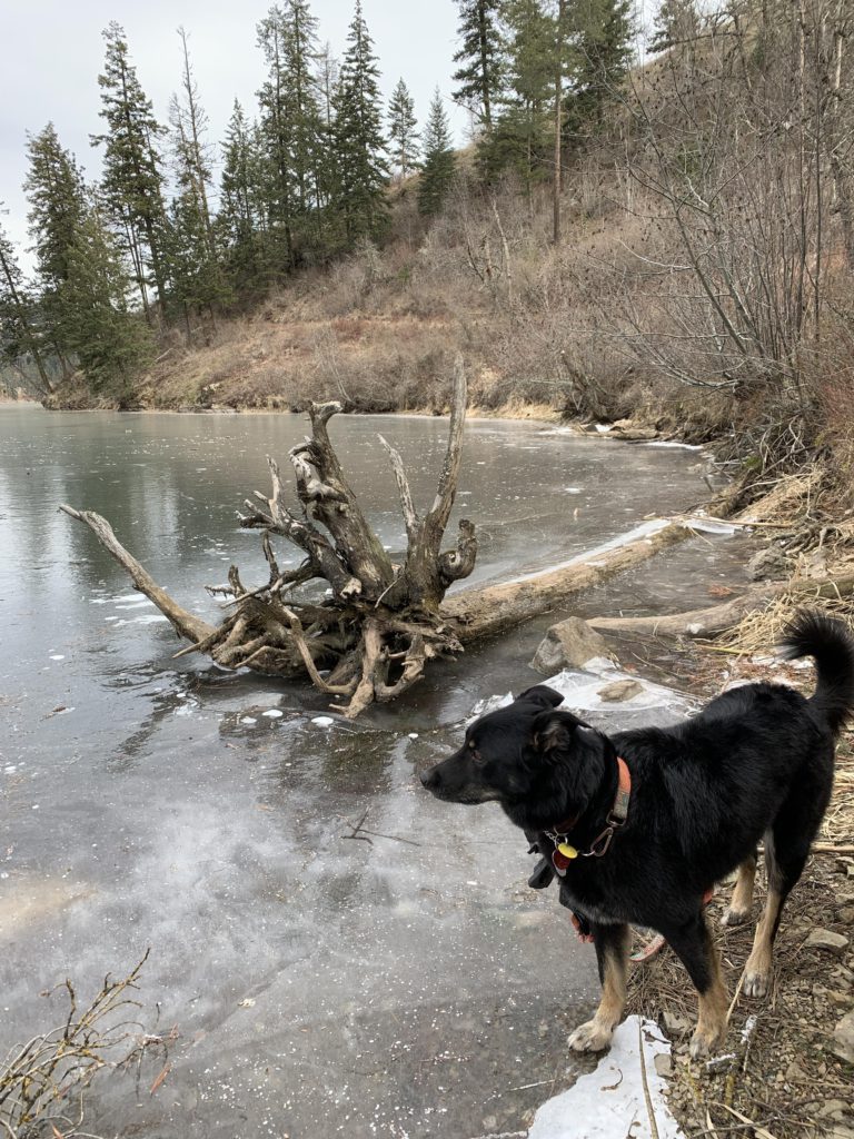
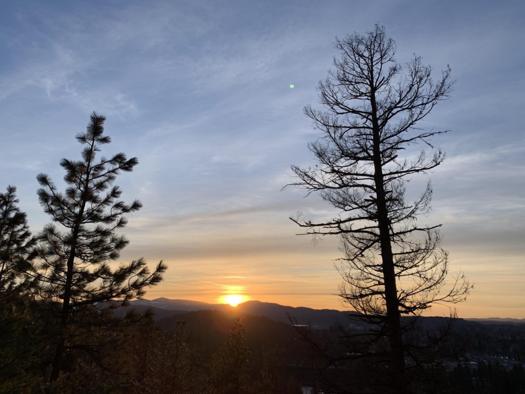
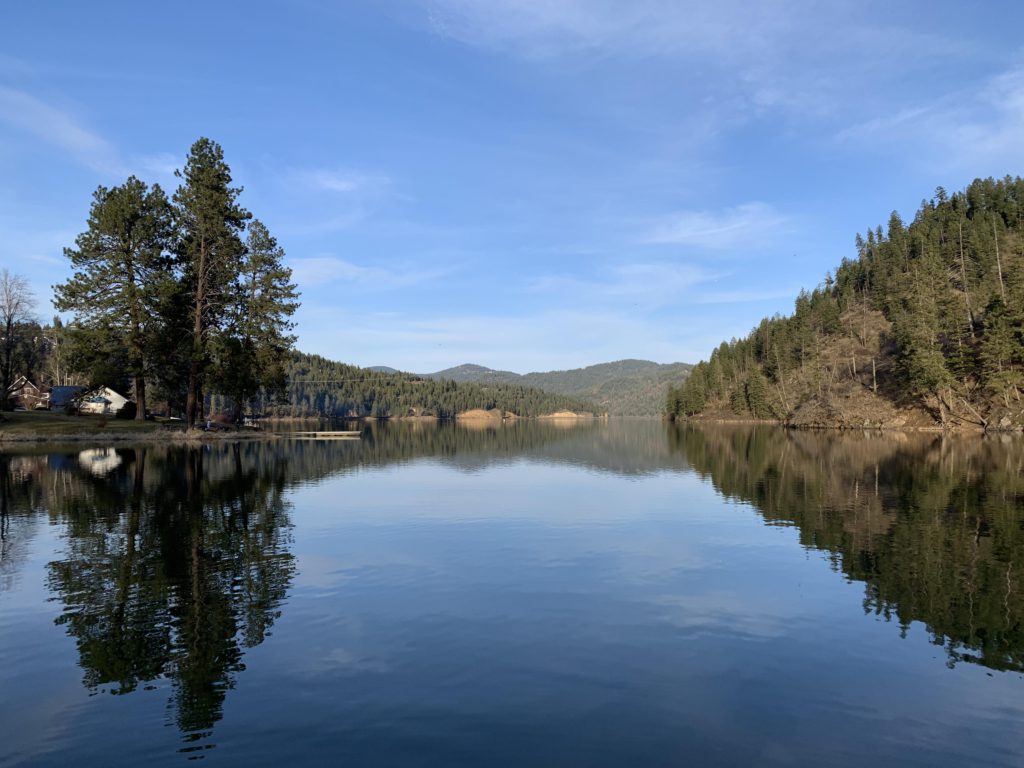
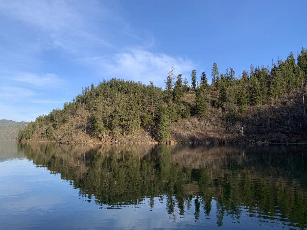
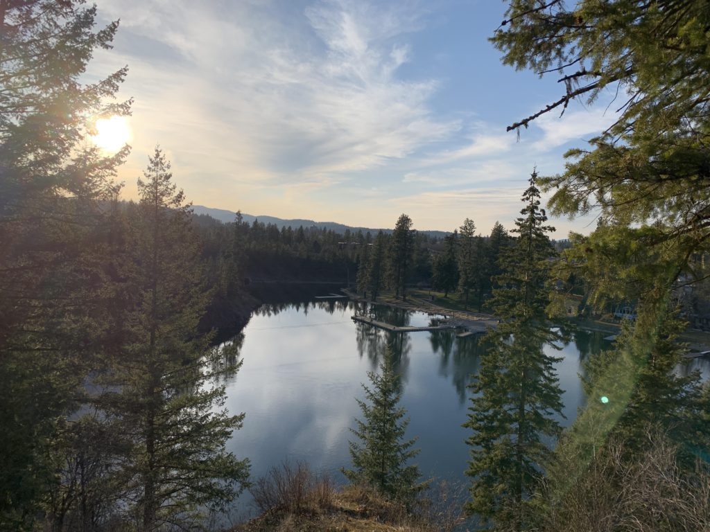
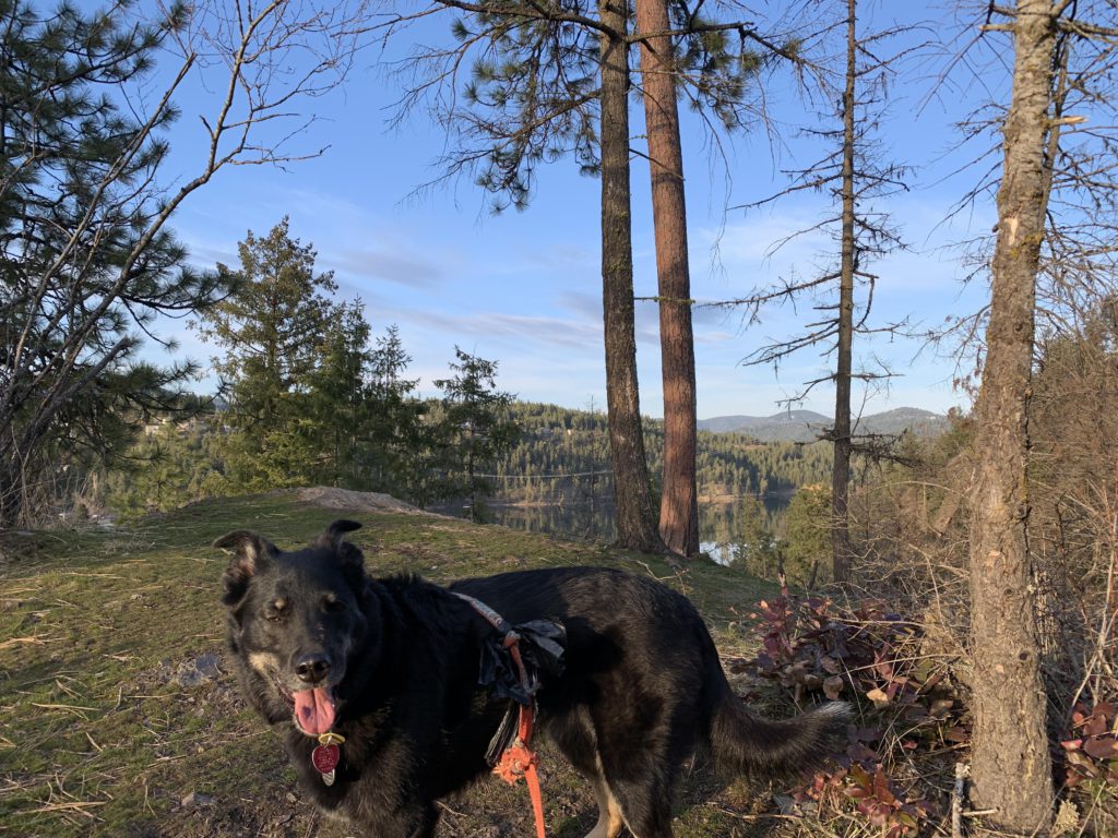
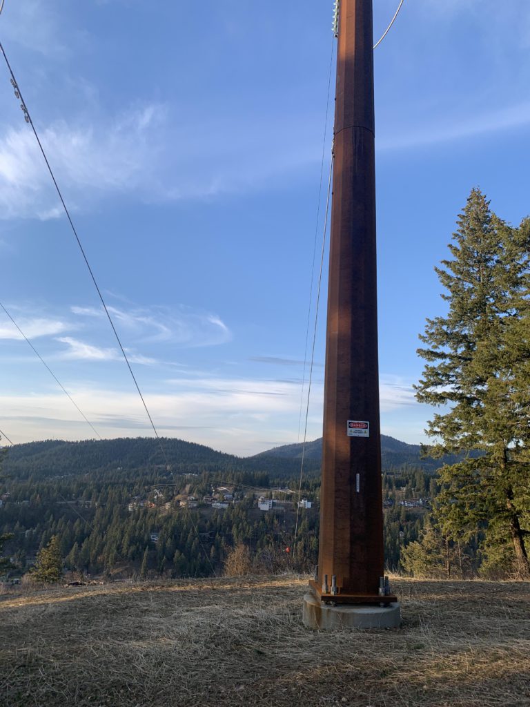
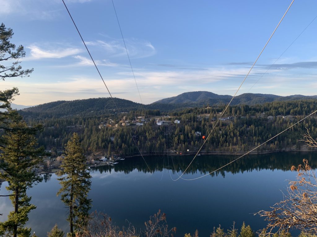
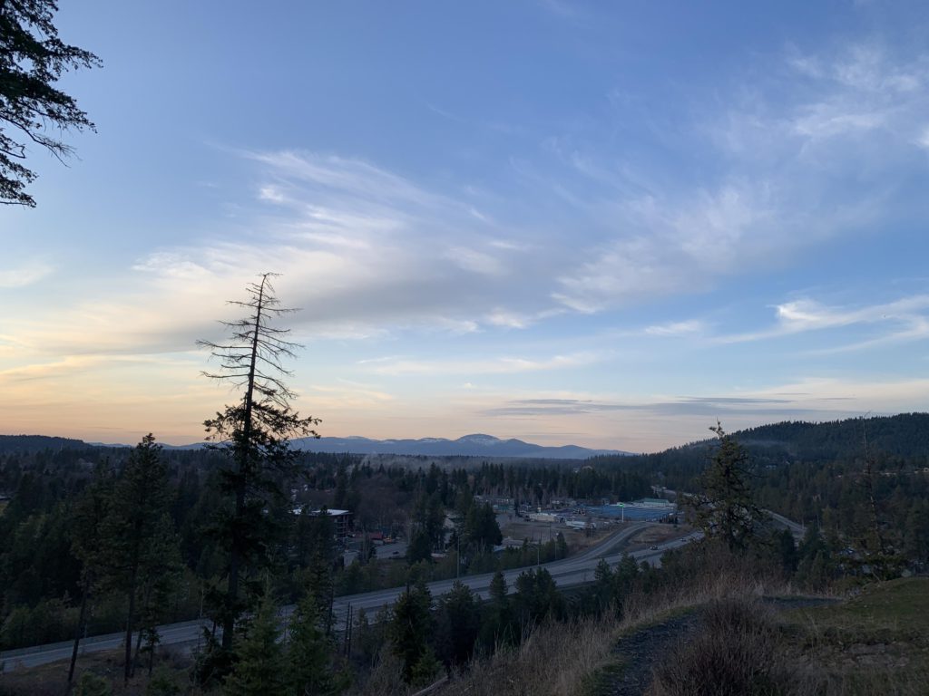
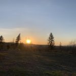
The Fernan Lake Natural Area consists of 3 loops, a spur trail to an overlook of Lake Fernan, and a connector to the Lake Fernan boat launch. The innermost loop is graveled and essentially circles the parking area on Potlatch Hill. The next iteration switchbacks downhill for a bit, then contours along the hillside to a fork near a cedar grove. Turn right and uphill to a second fork, where another right quickly returns to the parking lot. For the outermost loop, turn left at the first fork and the trails switchbacks downhill to the lakeshore opposite the Lake Fernan boat launch. It follows the shoreline for a short while, then lifts off again and switchbacks uphill. Near a giant dead Ponderosa, a spur trail drops precariously down to a secluded bay. Beware, however, this trail is narrow, steep, and brushy and many times does not even feel like a trail. It terminates at the bay–return to the Ponderosa. From there, the trail continues upwards to a grassy overlook. Shortly afterwards you can either turn right and head back to the parking lot through a dense cedar forest, or turn left and climb to the southern edge of the Natural Area. The trail then contours along, eastwards, crosses a seasonal brook, and starts climbing again. Shortly past the brook is a fork, with the left branch petering out after a hundred yards or so. Keep right (straight) and the trail rises through open pine and fir forest with decent views (great sunsets) to the power transmission lines across Lake Fernan. That’s trail’s end–return back the way you came.
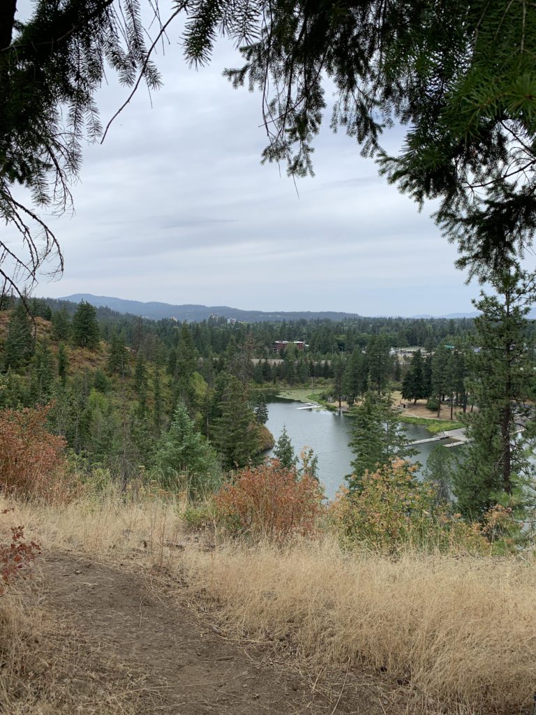
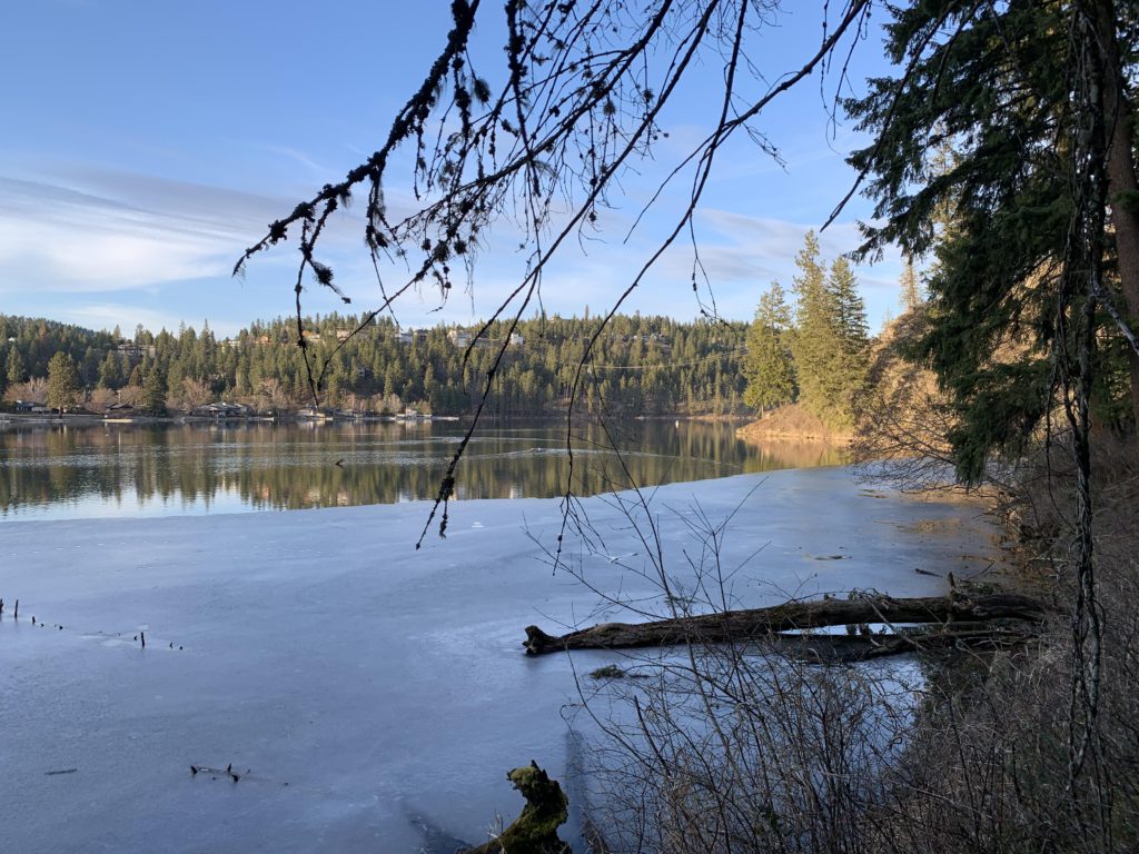
From the parking area, a spur trail drops down towards the outlet of Lake Fernan. To reach it follow the switchbacks down the western side to a spur towards the freeway. At the Fernan Lake outlet, the trail connects to an angler trail skirting the westernmost tip of the Lake. Follow that trail to the Lake Fernan boat launch, which includes docks, restrooms, and picnic tables.
Alternate Routes
Things to Consider
- There is no signage along this trail. Even the huge kiosk at the trailhead is devoid of any useful information. Except for lake and freeway, the parcel is surrounded by private property. Stay on the trails to avoid trespassing. The utility access road at the power lines is a no-go (it leads to private property). There is no access to Potlatch Hill Road or Sky Harbor Drive anywhere other than the trailhead.
- The area is an extreme fire hazard, exacerbated by steep, inaccessible terrain. Fires, fireworks, camping, hunting are not allowed
- The trailhead has been a hotspot for drug dealing, although the police has been clamping down on that
Not so great