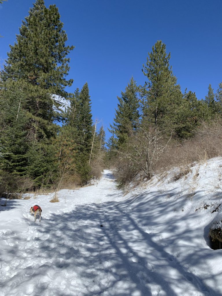
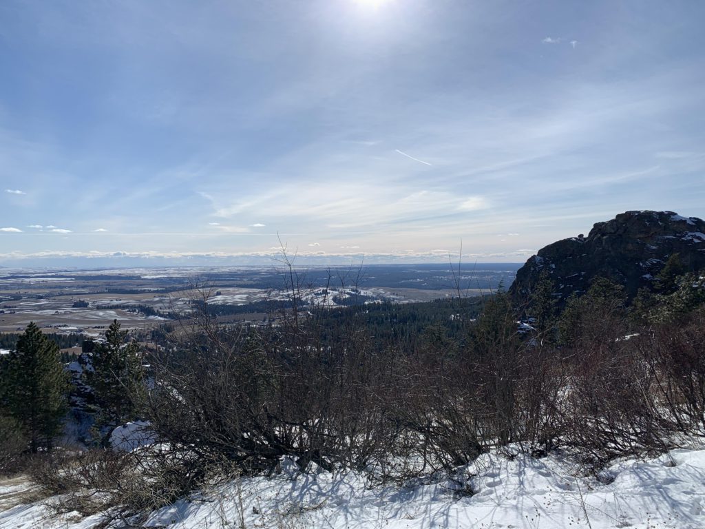
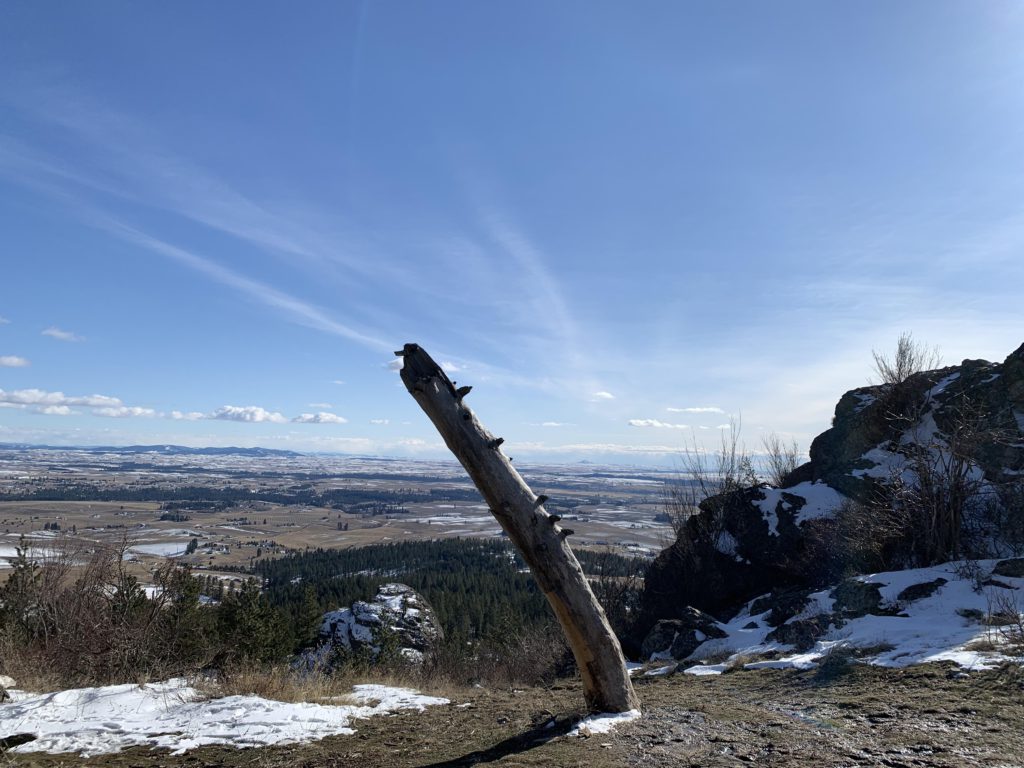
The Dishman Hills are a popular hiking spot, with the Rocks of Sharon area perhaps the most liked. This hike enters the area from the South via the Stevens Creek trailhead
Location
- Selkirk Mountains
Rating
3.2 out of 5
Difficulty
Moderate (some uphill hiking)
Distance
7.6 miles
Duration
3:11 hours moving time (Hiking)
Elevation Gain
1,791 feet
High Point
3,572 feet (Rocks of Sharon)
Low Point
2,407 feet (Iller Creek trailhead)
Features
Outing Type
Trail Type
Trailbed
Packed dirt, decommissioned fire road
Trail#
Water
Camping
- Not allowed. Port-a-potty at the Stevens and Iller Creek trailheads
Conditions
- Great!
Administration
Status
Maps
USGSSpokane SE
Fees & Permits
Open To
Directions
Season
Year-around
Date
February 27, 2021
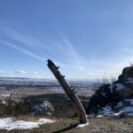
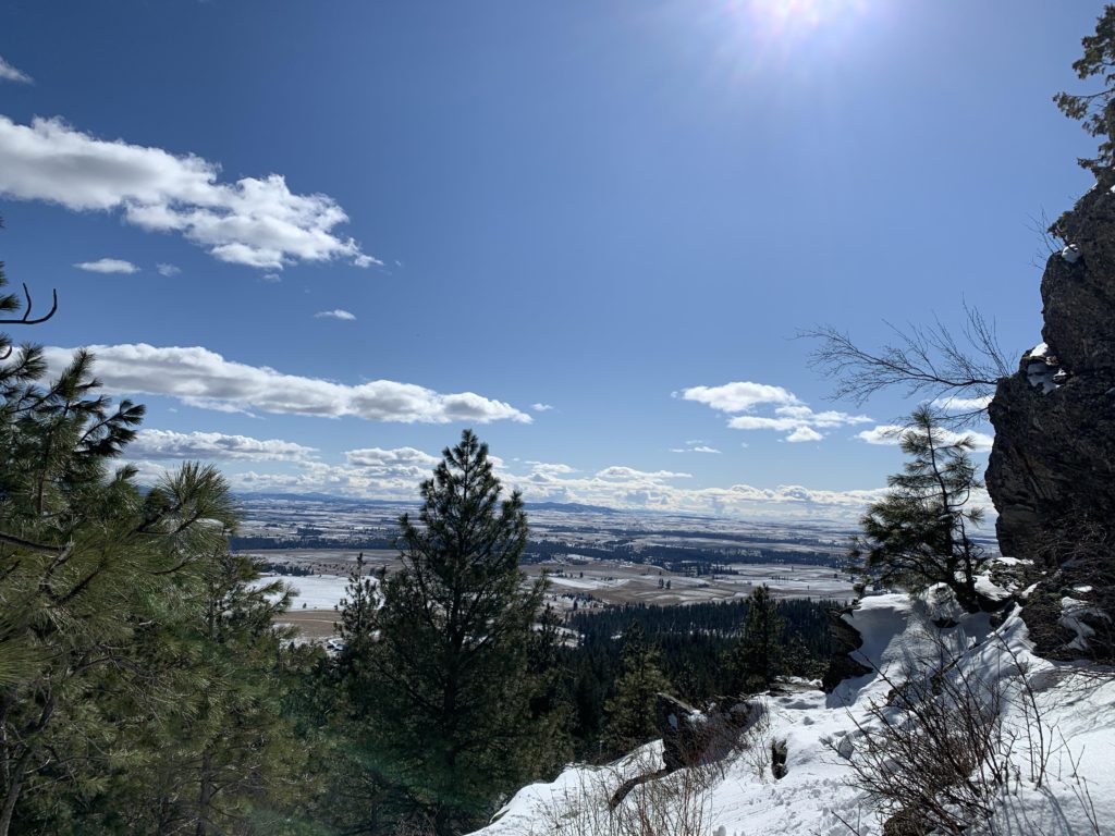
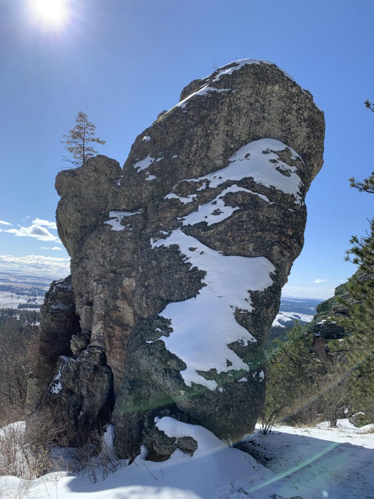
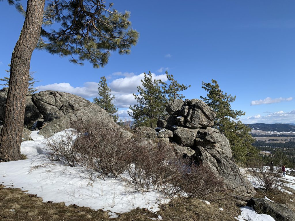
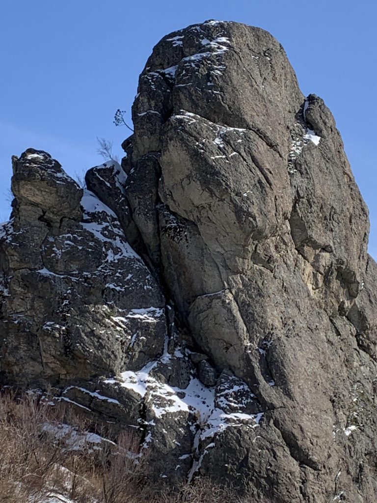
This is an alternative entry point to the Rocks of Sharon and Iller Creek loop covered in an earlier post (Iller Creek). From the parking lot, follow the road north for a short distance to the signed entrance to the Dishman Hills Conservation Area. The trail climbs gradually at first, then the grade steepens and the path narrows to a singletrack switchbacking up to the Rocks of Sharon. Just ahead of the rock formations is a fork, with both branches heading up to the rocks. It is not quite a mile and roughly 500 feet of elevation gain to the rocks. Once there, you are on the Iller Creek trail, with the option to complete that loop (as we did), or turning it into a shorter loop by taking the Upper Valley Cutoff.
Alternate Routes
- A side trail ascends Tower Mountain
Things to Consider
Not so great
© 2016 – 2026 NaughtyHiker. All rights reserved. No duplication without permission.