Iller Creek Loop

Iller Creek is one of the most interesting loop hikes close to Spokane, leading to spectacular outlooks across the Spokane valley and the Selkirks to the north and only a short distance later the sprawling Palouse to the south. The trail continues to the Rocks of Sharon (Big Rock) area, featuring oversized boulders popular with rock climbers. On the return trip there’s the option to turn it into a figure-eight loop and ascend the flank of Tower Mountain.
Location
  • Selkirk Mountains
Rating
3.2 out of 5
Difficulty
Moderate (some uphill hiking)
Distance
7.8 miles
Duration
2:42 hours moving time (Hiking)
Elevation Gain
2,033 feet
High Point
3,586 feet (Big Rock)
Low Point
2,371 feet (Trailhead)
Features
  • Mountain
  • Rock Formation
  • Outing Type
  • Daytrip
  • Trail Type
  • Loop
  • Trailbed
    Packed dirt, decommissioned fire road
    Trail#
    Water
  • Only the stretches along Iller Creek
  • Camping
    • Not allowed. Port-a-potty at the trailhead
    Conditions
    • Excellent
    Administration
  • Dishman Hills Conservancy
  • Spokane County
  • Status
  • County Park
  • Maps
    USGS
  • Spokane SE
  • Fees & Permits
  • None required
  • (None required)
    Open To
  • Hikers
  • Dogs
  • (dogs must be leashed)
    Directions
  • Take I-90 exit #287 (Argonne Road). Head south on Argonne. After 1.3 miles Argonne turns into Dishman-Mica Road. After another mile take a right on Schafer Road. Continue on Schafer for about a mile, then take a right onto E 44th Avenue. Turn left after .2 miles onto S Farr Road. At the end of Farr, turn right onto E Holman Road. The trailhead is on Holman after .7 miles. There is parking for a few vehicles to the right, but this is a busy spot, so you might have to park on the street.
  • Season
    Year-around
    Date
    December 3, 2016

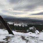
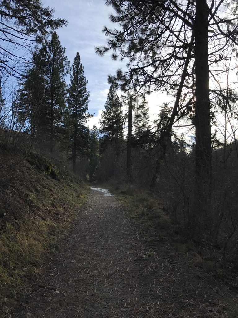
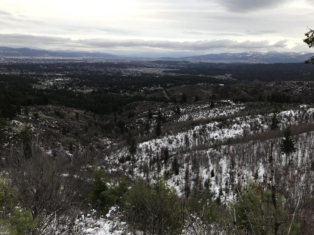
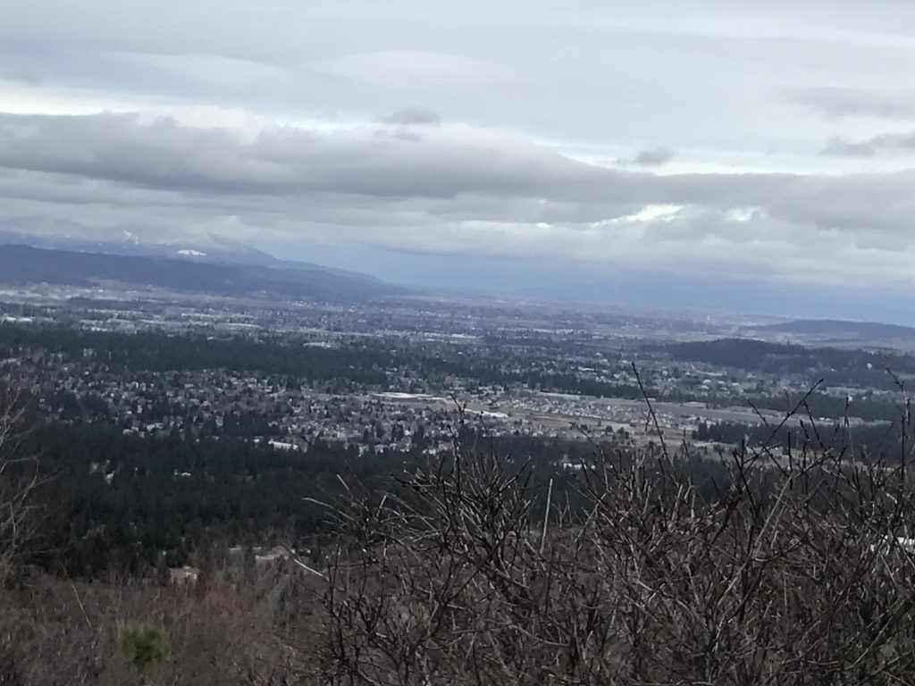
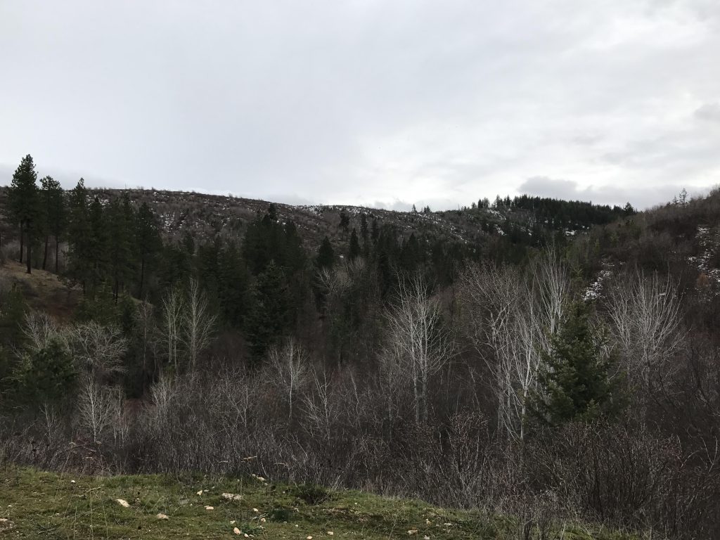
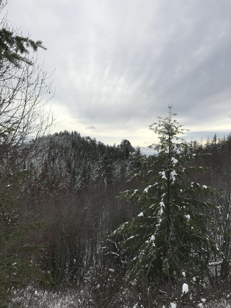
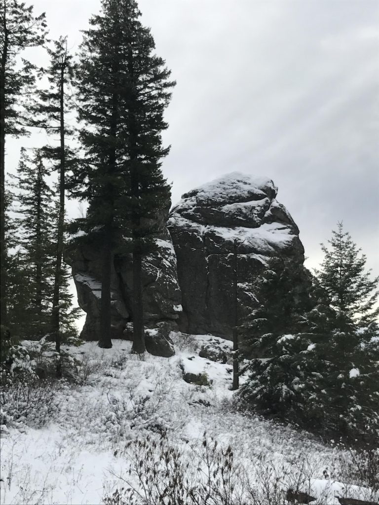
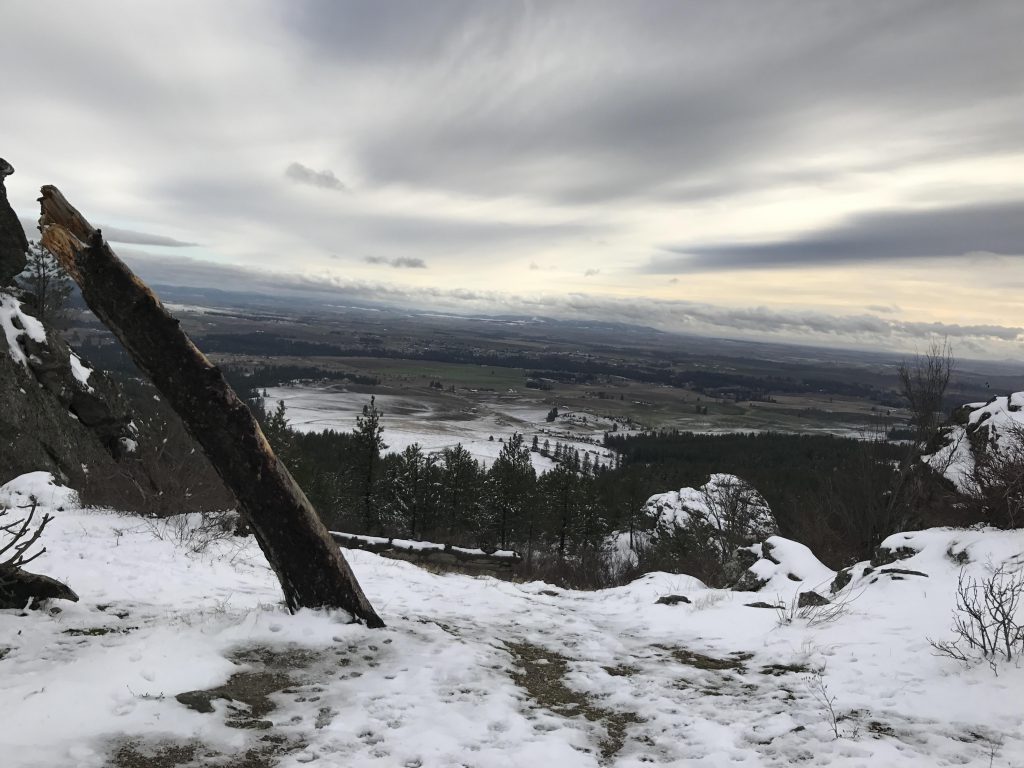
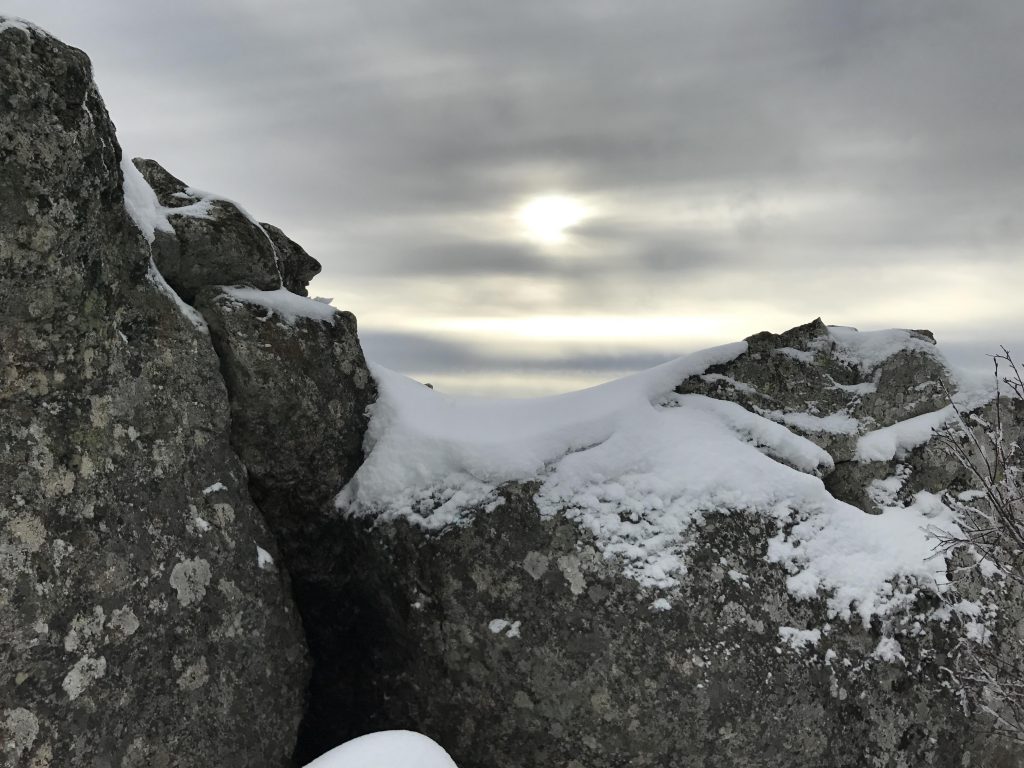
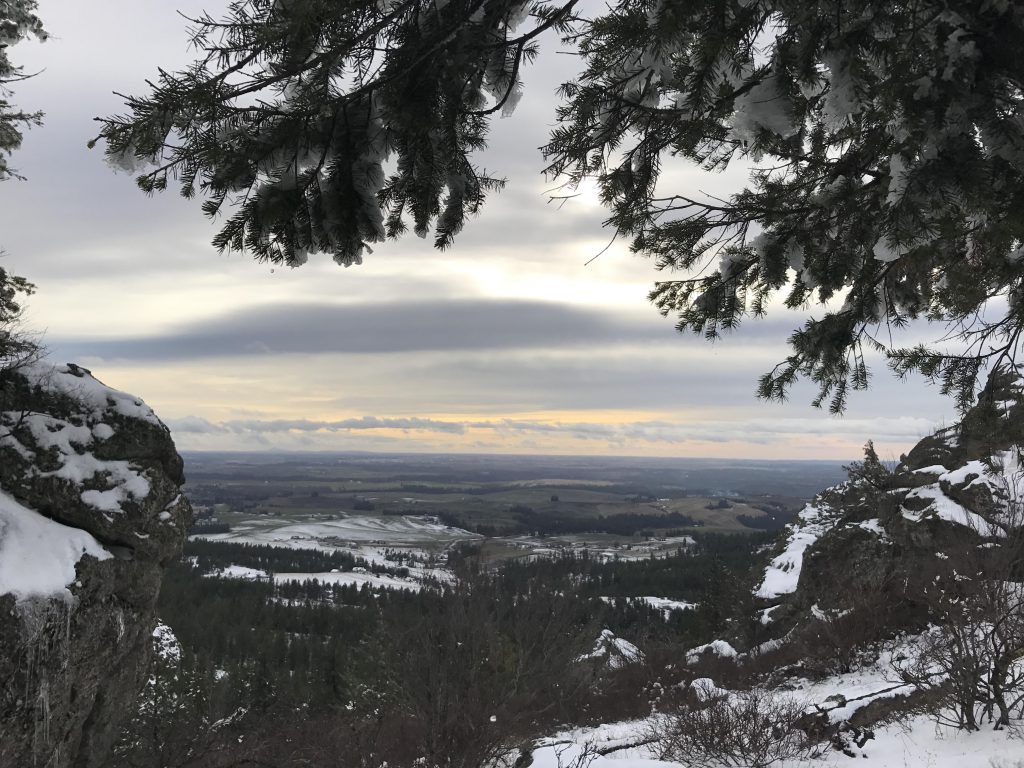
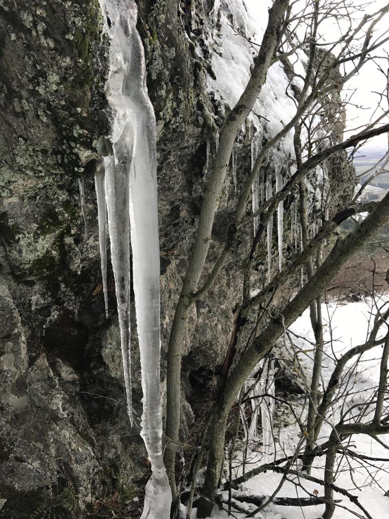
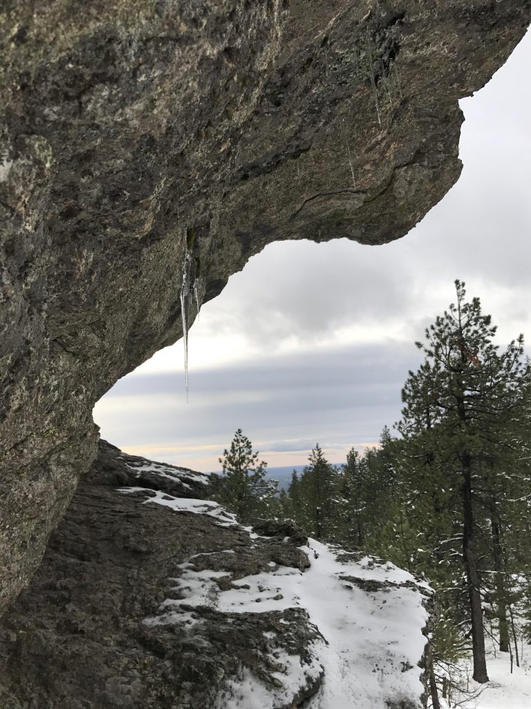
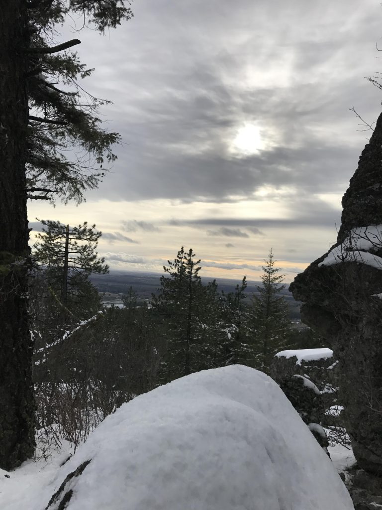
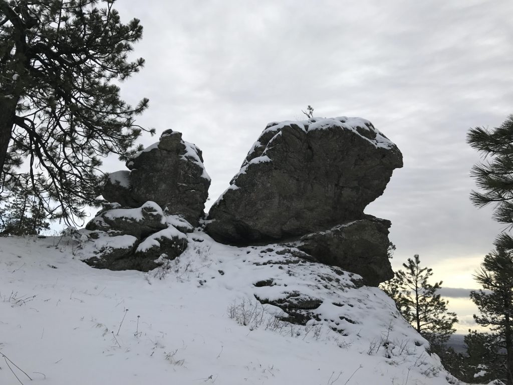
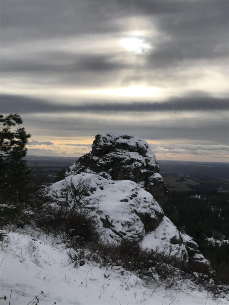
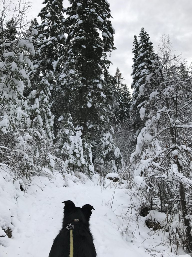
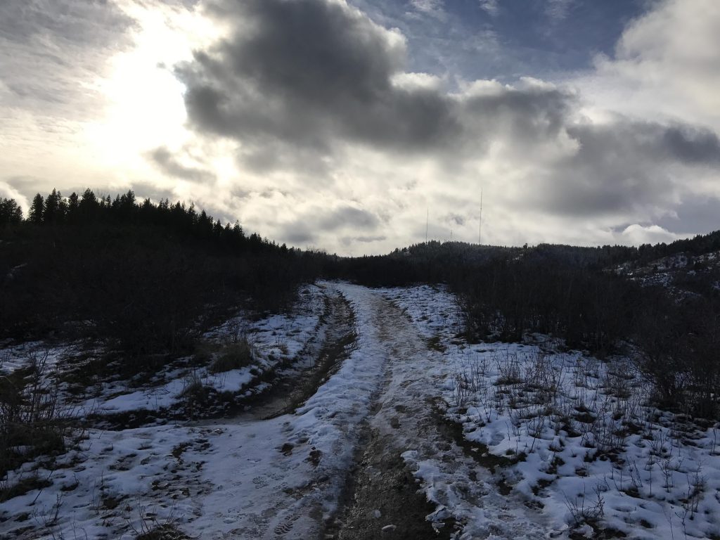
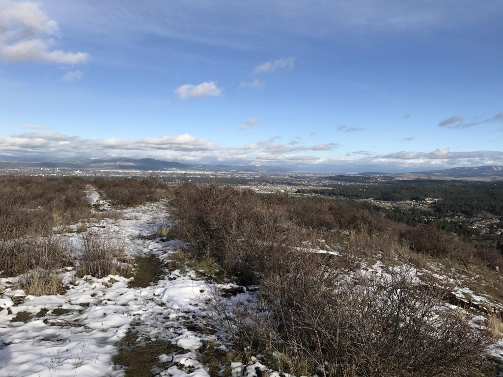
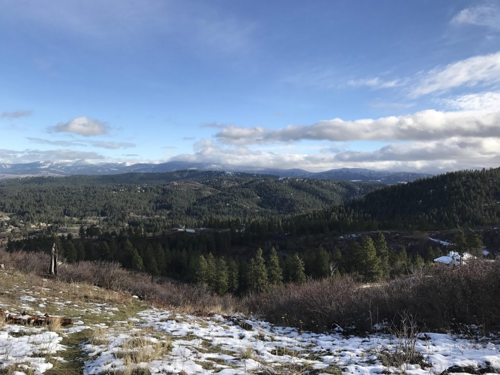
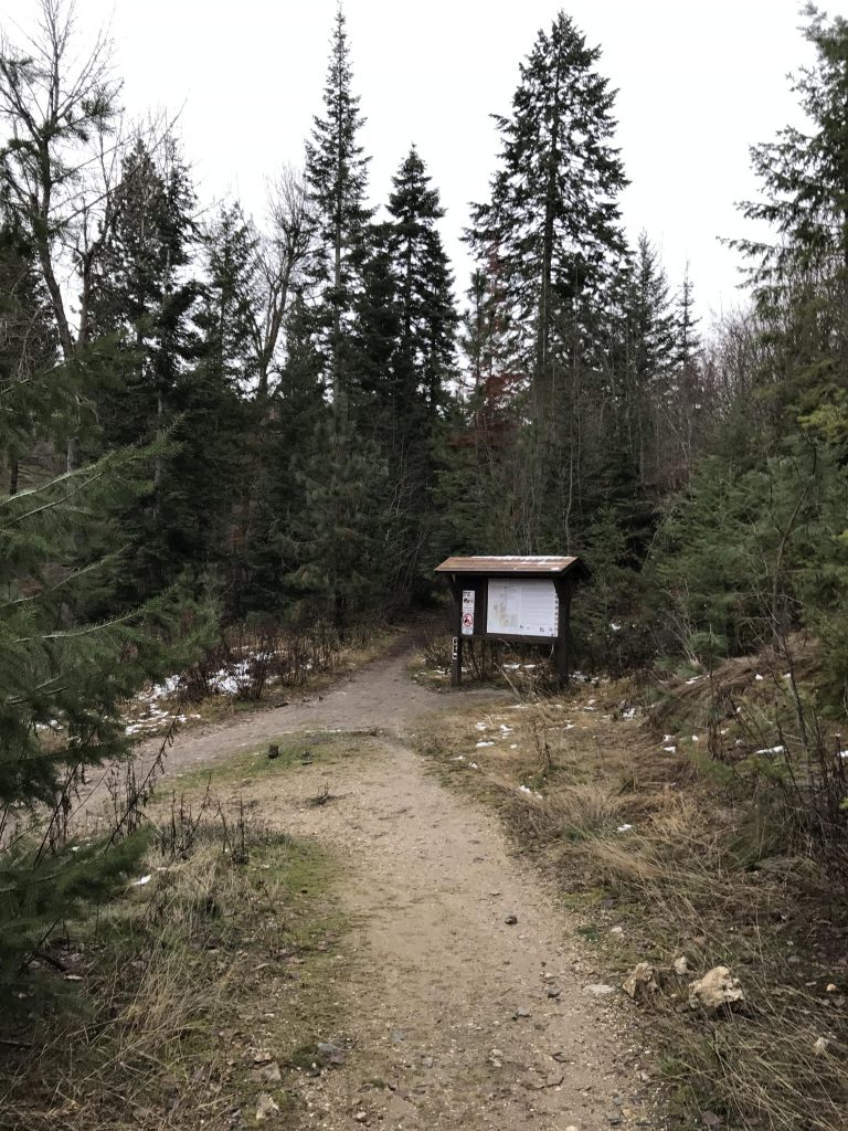
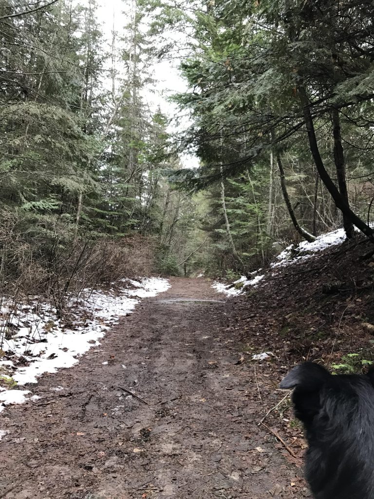
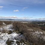
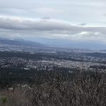
    The Iller Creek trail can be hiked either clockwise or counterclockwise; this guide follows it clockwise. Take the path to the left and cross Iller Creek. The trail follows the creek for a short distance beneath a light cover of trees, but soon veers off and climbs the East Ridge in a series of switchbacks. Emerging out onto the ridge, the forest recedes and offers grand views of the Spokane valley and the Selkirks to the north/northeast. The ascent then gets more gradual, with the path following the ridgeline closely and reentering the forest. Around 2 miles into the hike, there’s the option to branch off to the right and shorten the hike. This is not recommended, as the Rocks of Sharon of the outer loop are spectacular by themselves and offer great views of the Palouse below.

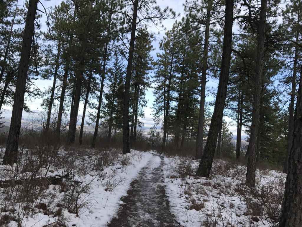
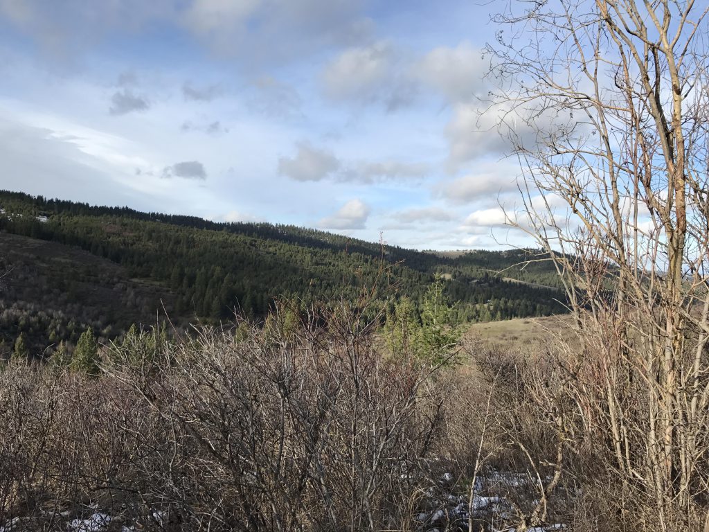
    Following the Rocks, the trail descends from the West Ridge (ie, the Tower Mountain ridge), in many places following an old fire road that makes side-by-side walking easy. The trail continues downhill and joins up with Iller Creek, which it parallels back to the trailhead.

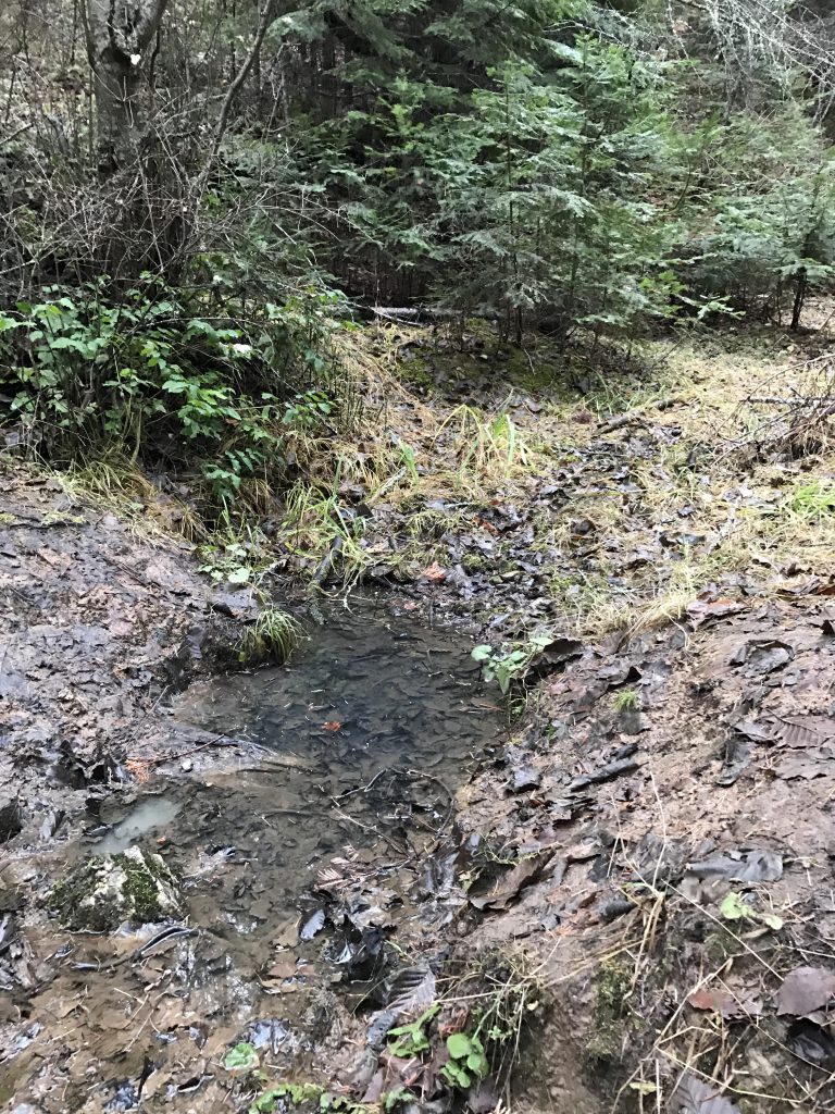
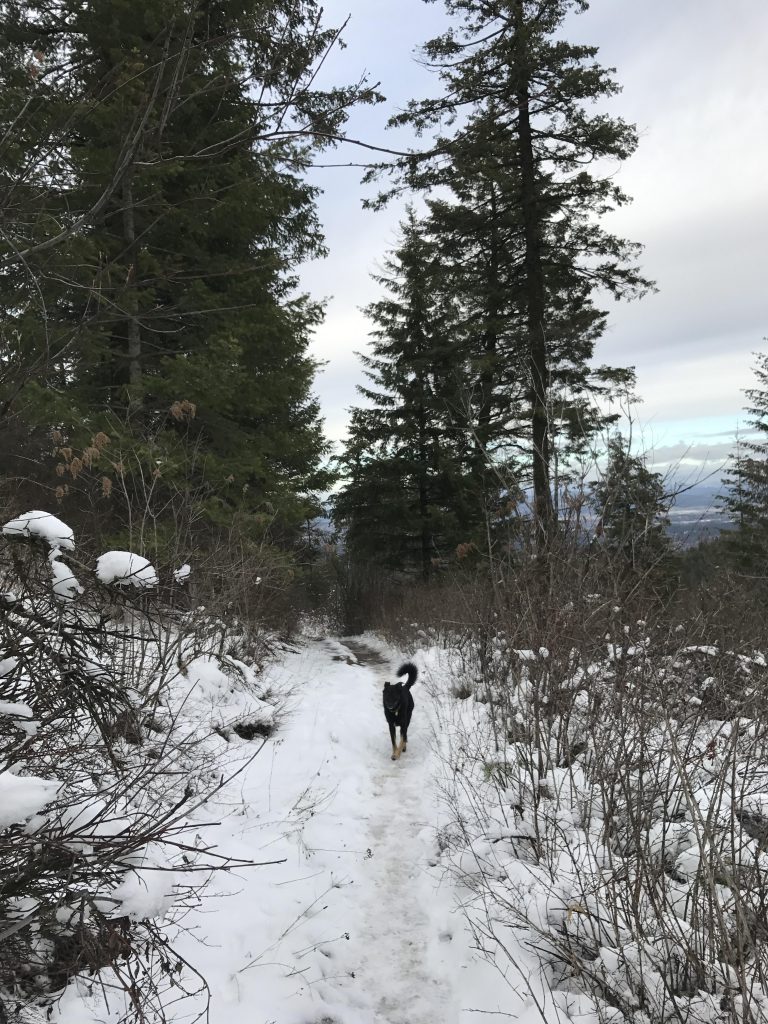
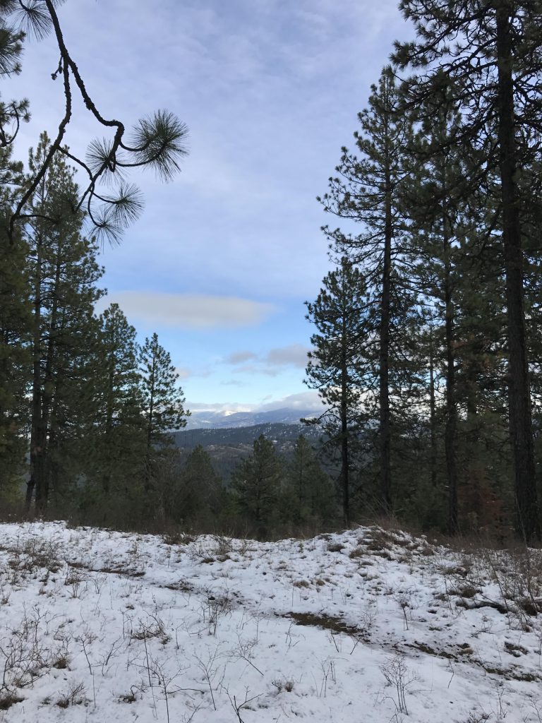
    At the trailhead sign take a left and once again ascend the hillside, this time towards Tower Mountain. The trail follows a ridge about two-thirds up, then slides off to the right but still ascends. (You have the option, instead, to continue the ascent to Tower Mountain, however). Continue at a slight incline along the flank of the mountain until coming to a sign announcing the edge of the conservation area. Turn sharply right for a very steep downhill drop. The descent is mostly straight down, with few switchbacks and emerges onto a fire road and a small brook (probably seasonal). Follow the fire road back to the trailhead.

    Alternate Routes

    • Skip the Tower Mountain loop. This will cut the total elevation gain almost in half
    • Continue all the way to the top of Tower Mountain. This trail is unmaintained, but appears well-established.

    Things to Consider

      Not so great

        Trail near trailhead
        A small brook on the return trip from Tower Mountain
        Yours truly…
        Extensive logging before conversion to conservation area
        View of Spokane Valley from Tower Mountain hillside
        Ascent toward Tower Mountain
        A decommissioned fire road leads the way back
        Most of the trail on the West Ridge is tree-covered
        Large boulders
        Palouse
        Big Rock
        View south from Big Rock
        Icicle-hung boulders
        One of the large rocks of the Rocks of Sharon group
        View south
        Rocks of Sharon
        Rocks of Sharon
        Snow-covered trail ascending towards Big Rock
        Trail heading south
        Filtered views east from East Ridge
        Antenna-studded hills surround Iller Creek
        East Ridge viewpoint
        View east from East Ridge
        View north from East Ridge
        Trailhead
        Little snow near the trailhead