- Selkirk Mountains
- Not allowed
- Excellent
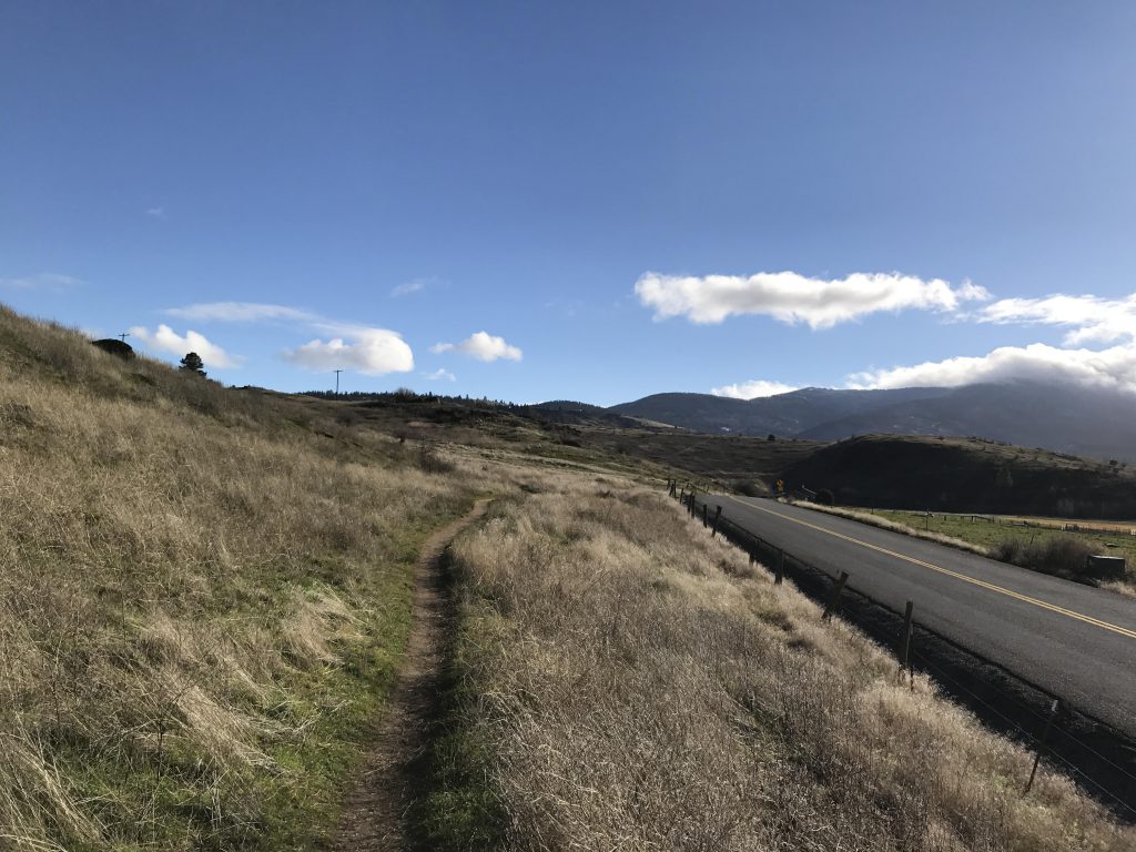
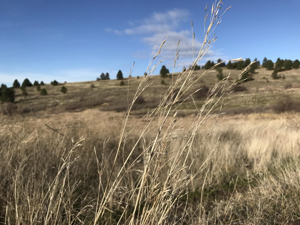
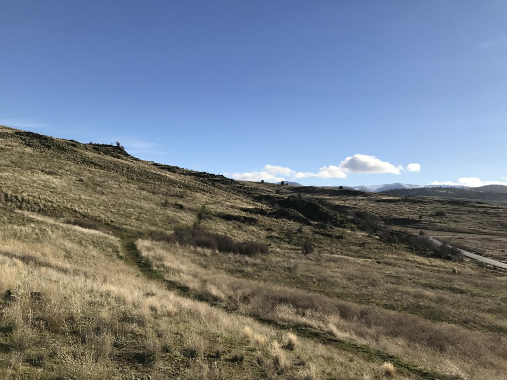
From the parking lot the trail start in a southeasterly direction, paralleling the road closely. Several smaller trails lead along the rock formations higher up and are much nicer to hike on. Just before the half-mile mark, after crossing a flat open area and before climbing towards a ridge, a trail veers off to the left. The trail to the left leads up Turtle Gulch; alternatively you could go another 10-20 yard to the wider trail that follows the flank of the mountain upwards. The Turtle Gulch trail steadily rises as it moves through the open grassland. Towards the end if forks three ways; take the rightmost fork for a steep climb up to the ridge top. This gets you back on the main trail, now called Summit Loop (if you took the main trail bear left at the Y to get on Summit Loop).
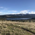
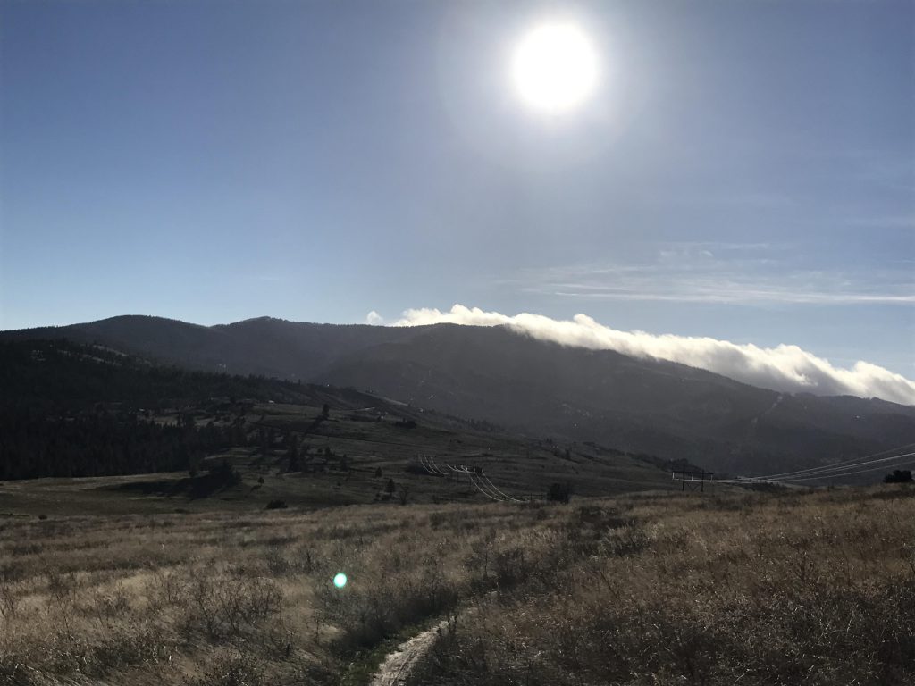
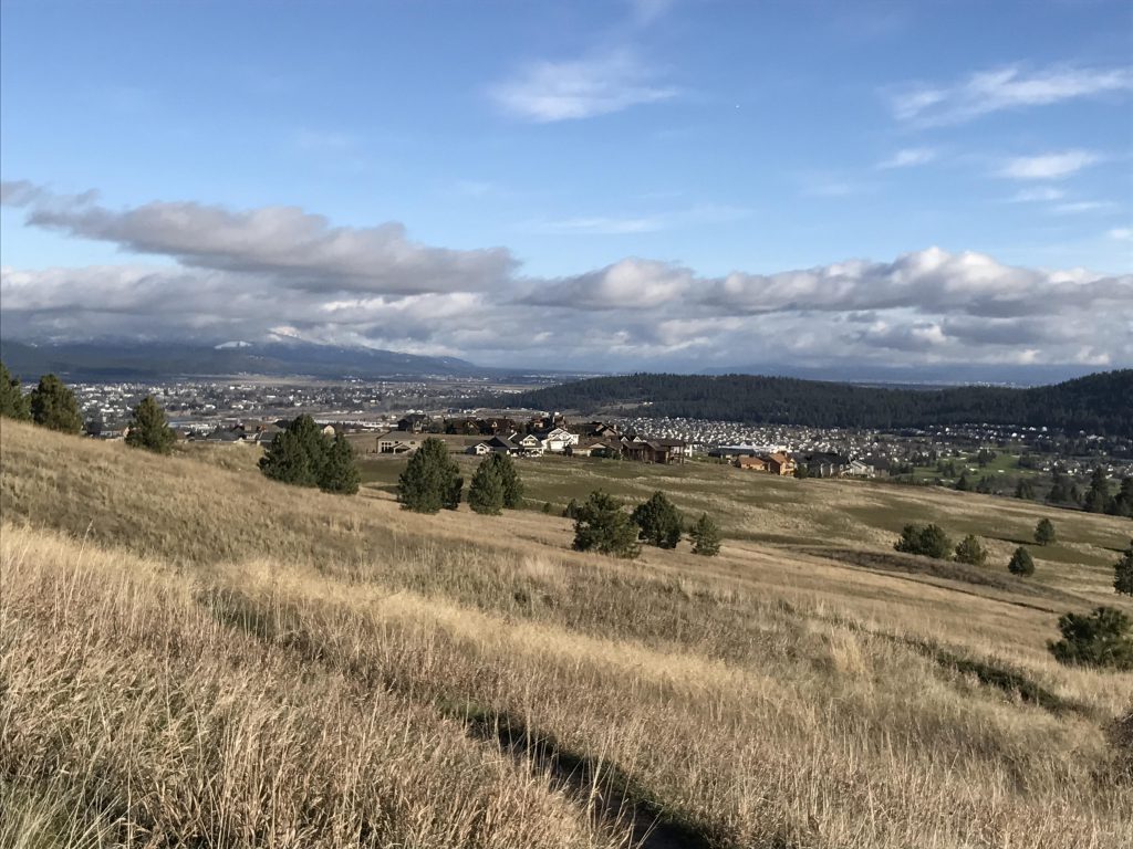
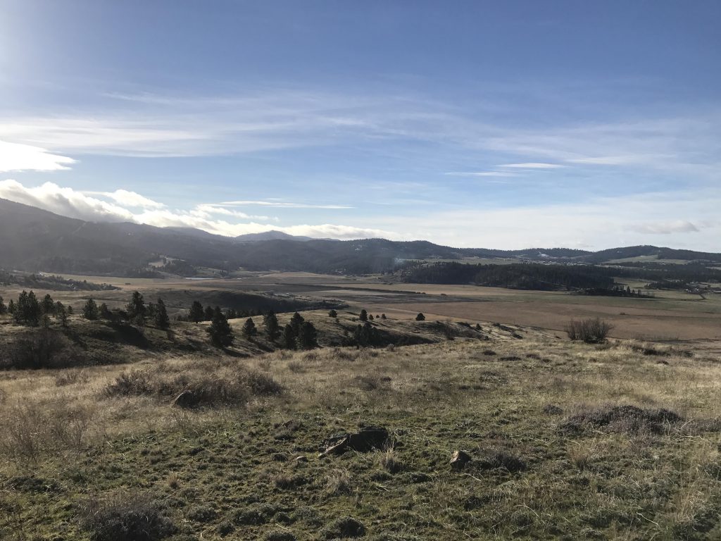
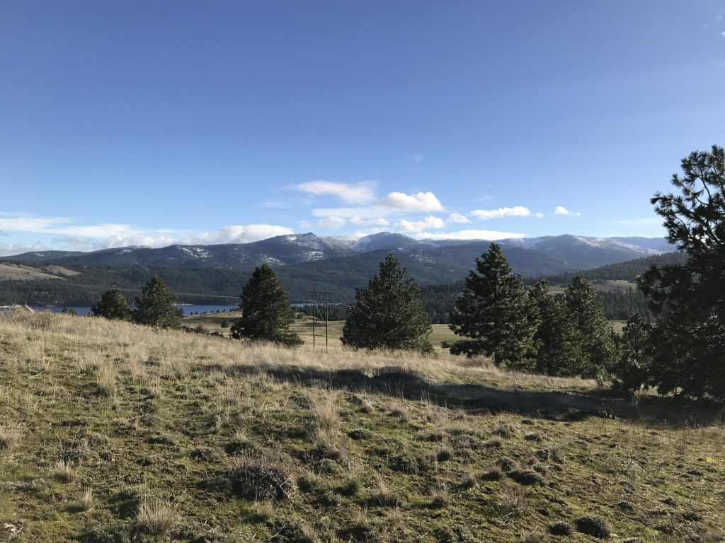
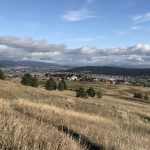
A series of switchbacks elevates the trail towards Carlson Hill, the highest point of this hike. This section offers nice views of the Saltese Flats below and out towards Spokane. At the top of the hill you get a less grand view of a water tower across a decaying barbed wire fence. The trail now moves down the far side, with a good view of Liberty Lake and the Spokane valley out towards Idaho. Unfortunately, this section suffers from switchback overload, leading constantly back and forth despite only a negligent decline.
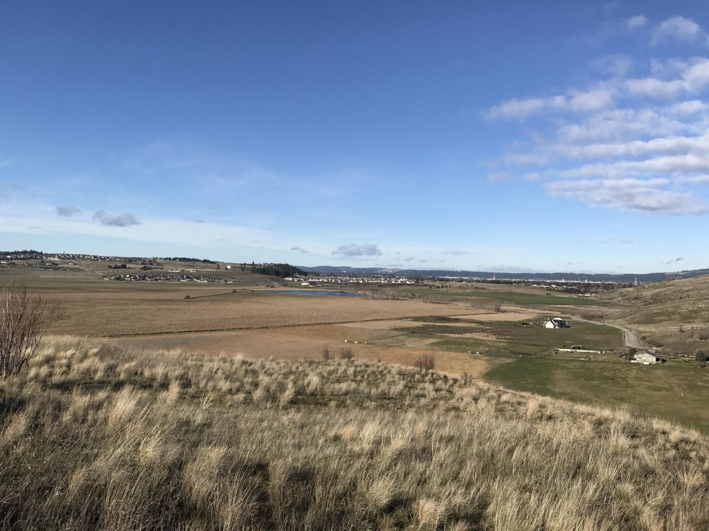
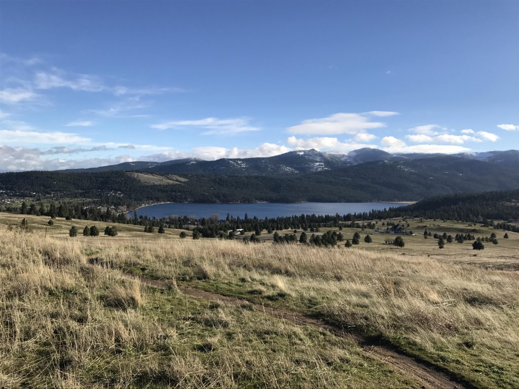
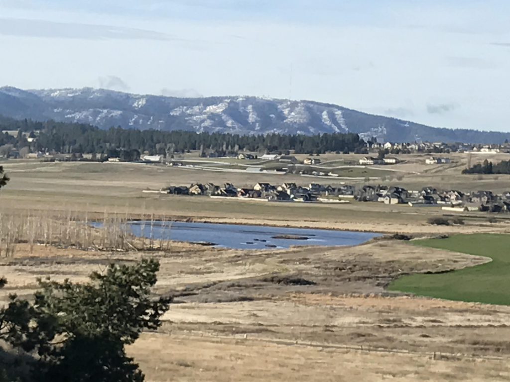
The path then turns west and rejoins the Uplands Loop. Bearing left, this leads to the conservation area’s boundary and hugs it closely. The trail is now a double-track. Over flattish ground the trail leads south, ultimately veering away southwest in the shape of a single-track. The path leads to an overlook near the southernmost tip of the Saltese Uplands with excellent views of the Flats and farmlands below.
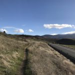
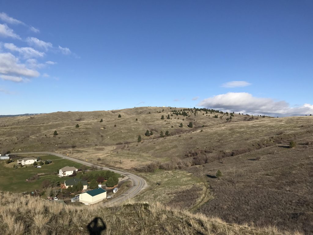
Then it’s downhill, with the trail curling around the mountain and skirting the main road for another 2 miles or so to the trailhead.
Alternate Routes
- After rejoining the Uplands Loop take a right onto the Short Draw trail for a shortened hike
Things to Consider
Not so great