- Coeur d’Alene Mountains
- Not really, most of the trail is too steep
- Excellent
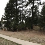
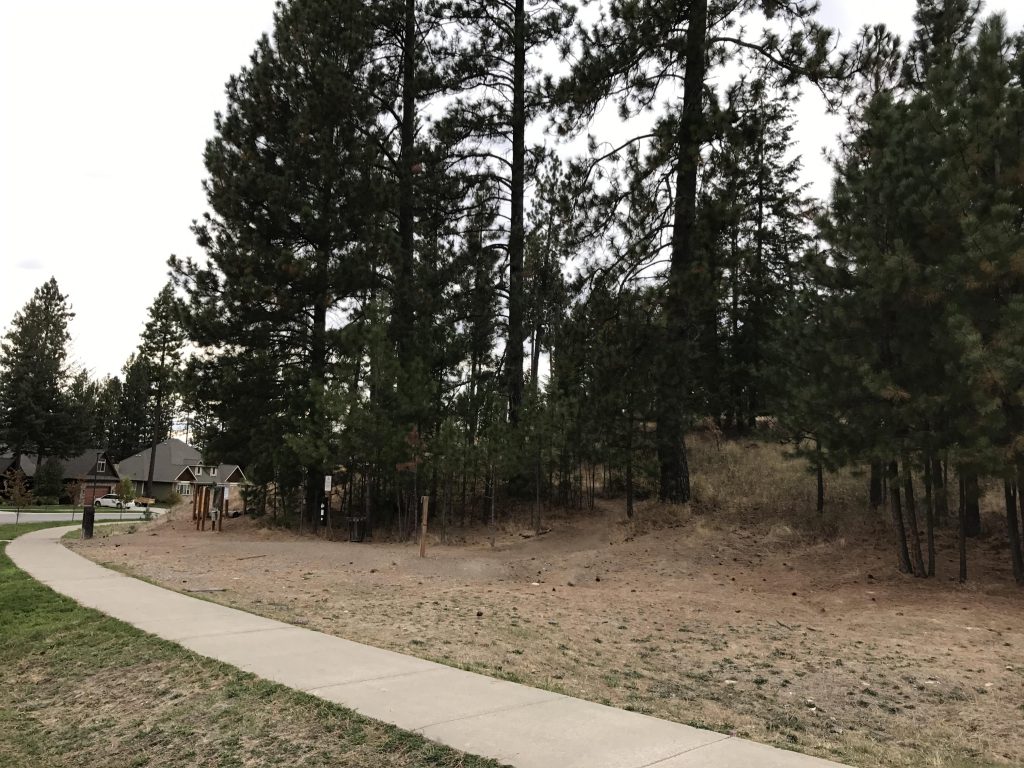
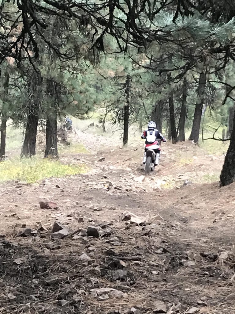
There are three ways to climb Canfield Mountain, via the North side (from Tottens Pond), the East flank (from Nettleton Gulch), or the South flank. The route via the South flank is the shortest and steepest, climbing about 1,000 feet per mile. There’s no need to leave the city, since the trailhead is conveniently located on Mountain Vista Drive. The trail leads through the Canfield Mountain Natural Area, which additionally offers an upper and lower loop. Theoretically, trail selection could be difficult, due to those loops and the logging and motorcycle trails crisscrossing the upper sections of the mountain, but all you need to do is just stay on the ridge for the entire hike.

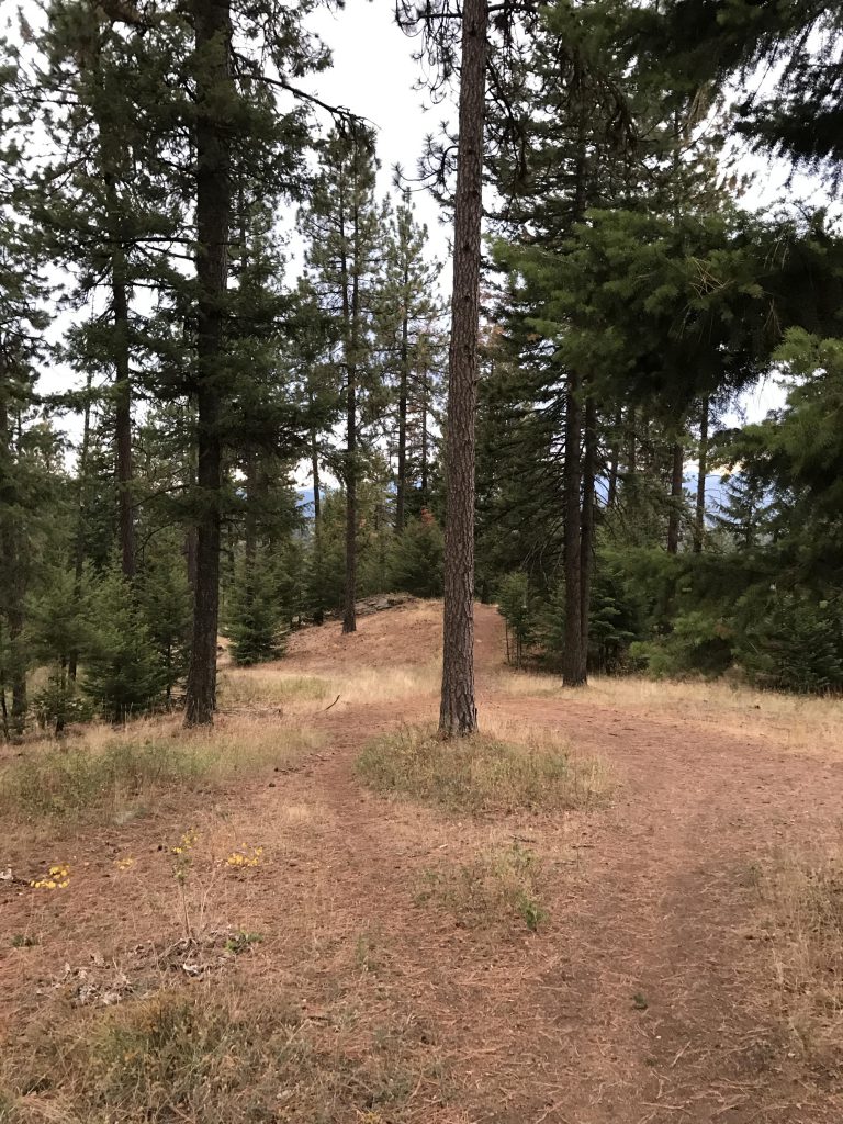
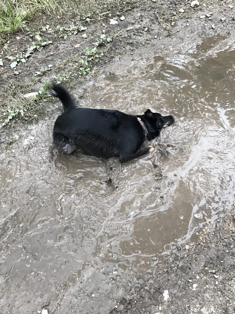
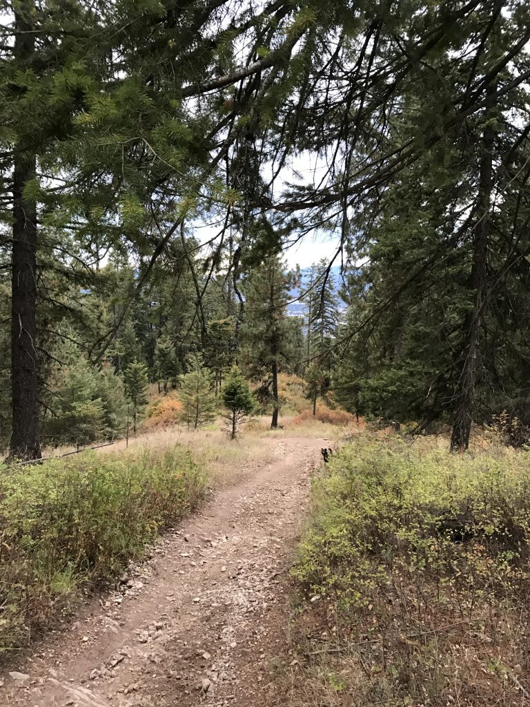
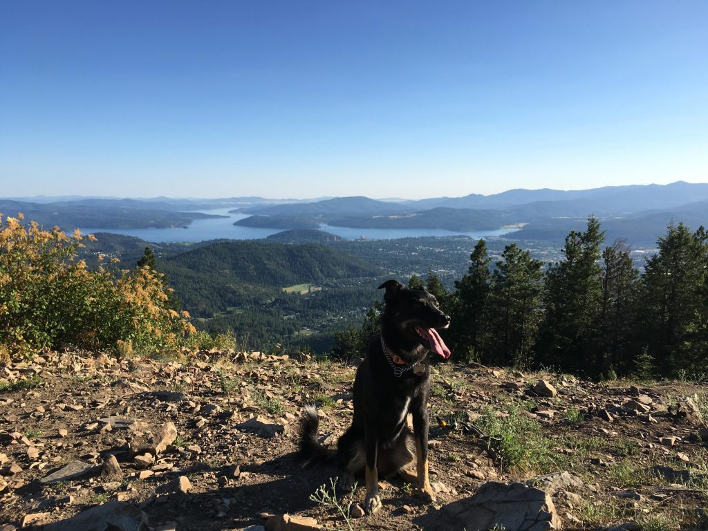
From the trailhead, the trail almost immediately kicks into high gear, grabbing the mountain head on and climbing steeply uphill over rocky terrain. Only a few minutes into the hike, glimpses of the surrounding cities (Coeur d’Alene, Dalton Gardens, Hayden Lake) filter through the trees. The trail continues higher, alternating between hard granite, cushioning beds of pine needles, and open meadows. There’s even an occasional puddle, if a mud bath is to your liking!
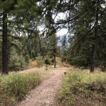
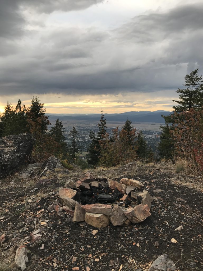
Straddling the ridge, the trail keeps climbing, up and up and up, to a giant overturned tree, indicating that three-quarters of the hike up is done, but the steepest part is still ahead. That steep part can be a bear, especially during the winter, in 2 feet of fresh snow…
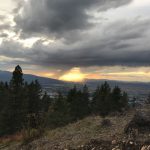
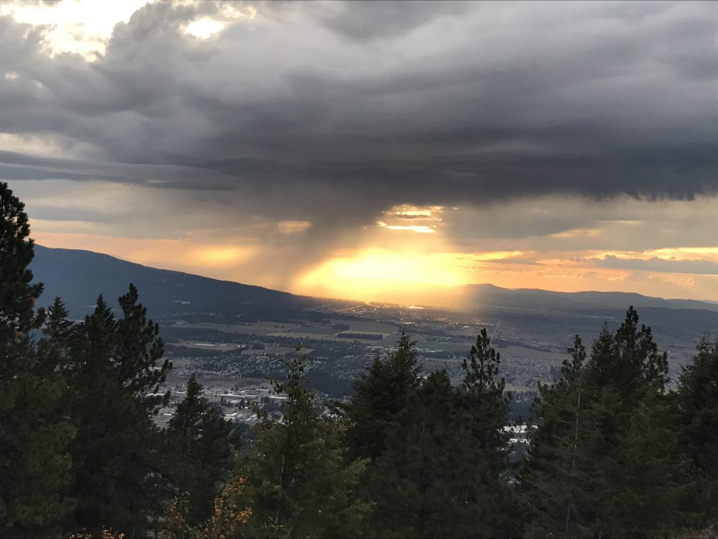
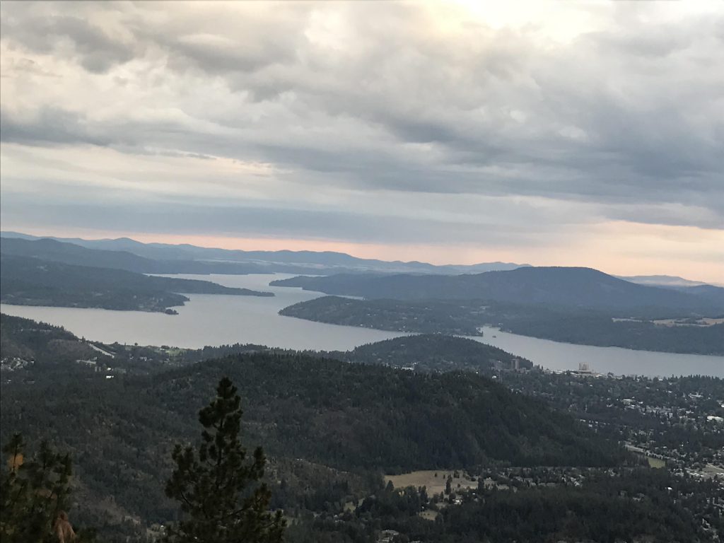
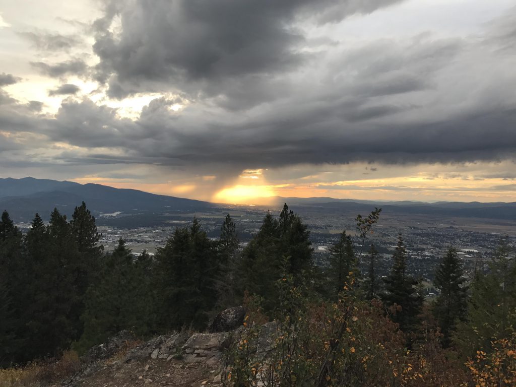
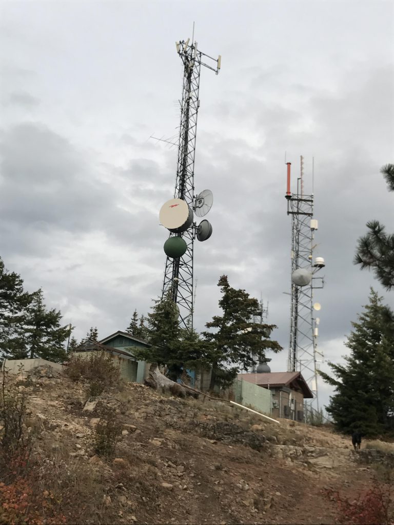
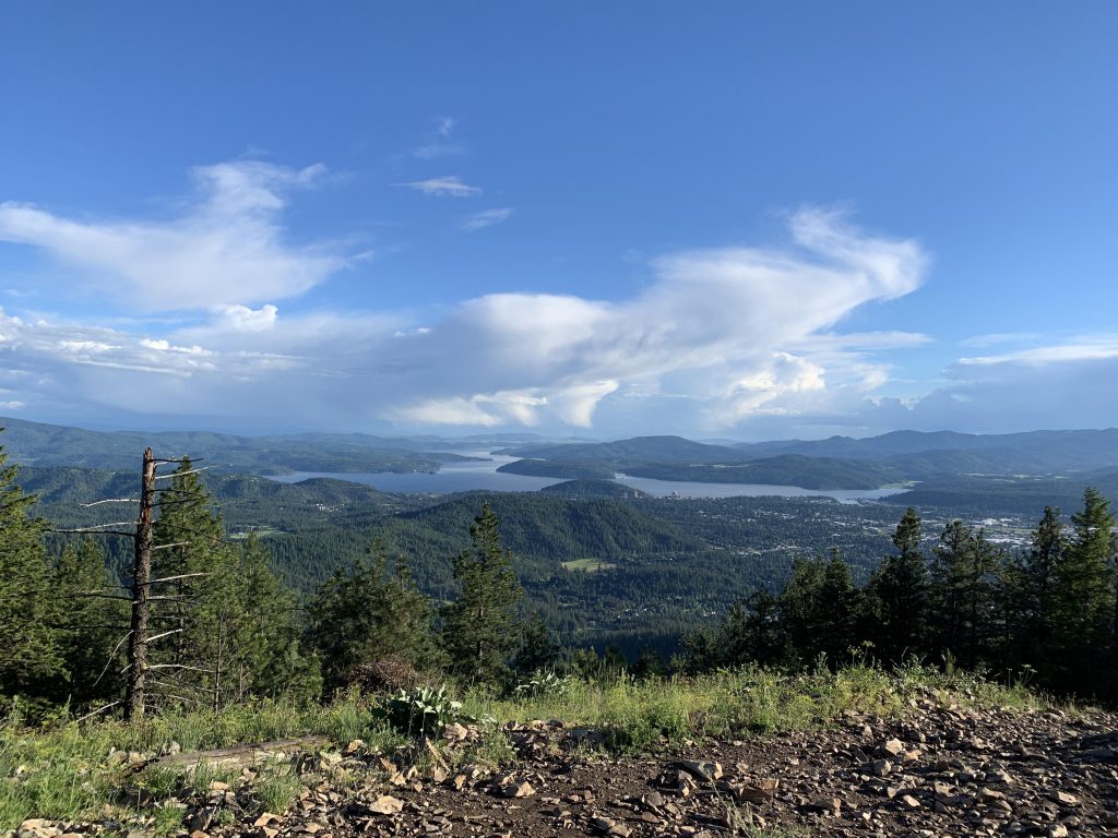
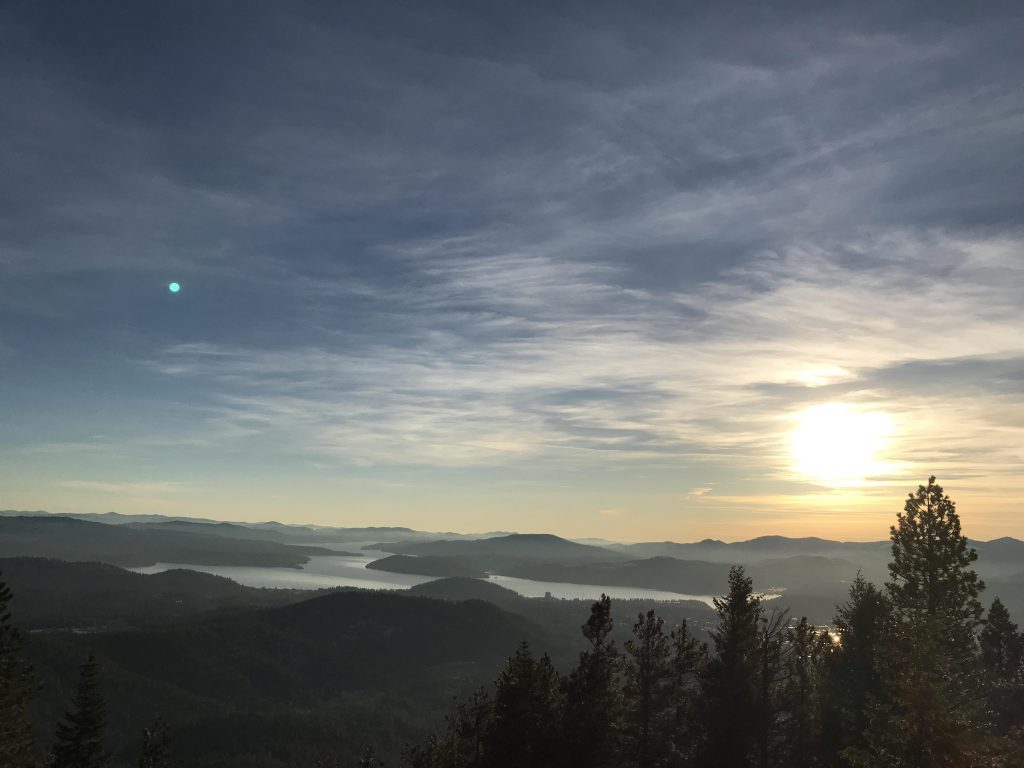
The television and cell towers on the mountaintop soon come into view, announcing the turn-around point. The views here are generous, including Lake Coeur d’Alene to the south, the Rathdrum Prairie and Spokane to the west, the Selkirk Mountains to the northwest, and the Coeur d’Alene Mountains to the east.
Alternate Routes
- Check out the nearby hikes; there are many ways to climb Canfield Butte!
Things to Consider
Not so great