- Selkirk Mountains
- Not allowed. No fires, fireworks, or smoking either.
- Good
- Tubbs Hill Loop
- Tripp’s Knob XC Ski Loop
- Shadow Mountain XC Ski Loop
- Quartz Mountain Lookout Loop
- Mount Spokane XC Ski Loop
- Mount Spokane Loop
- Liberty Lake Loop
- Fernan Lake Natural Area
- English Point Loop
- East Canfield Butte Loop
- Cougar Bay Loop
- Canfield Mountain South Flank
- Canfield Mountain North Side
- Canfield Mountain East Flank
- Antoine Peak Loop
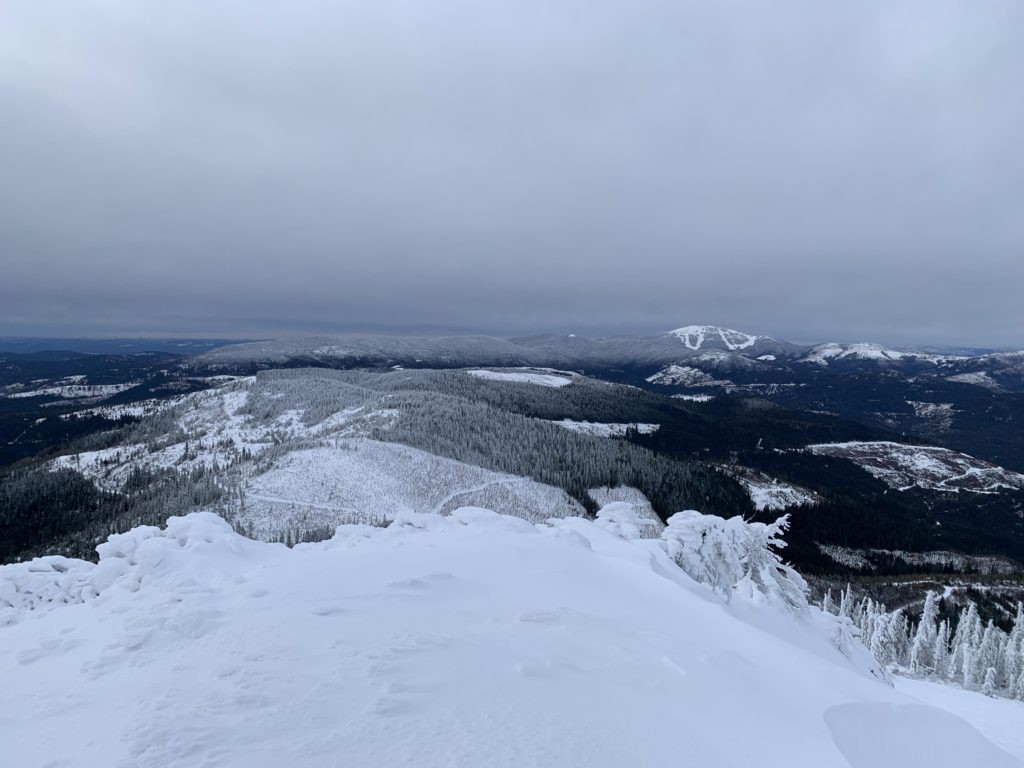
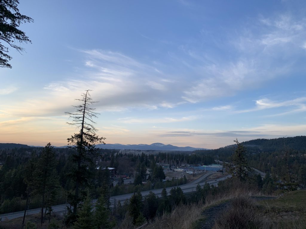
Rathdrum Mountain and Mount Spokane feature prominently in North Idaho’s skyline. If you drive westwards on I-90 in Coeur d’Alene from the Sherman exit, you’ll be staring right at Rathdrum Mountain for most of the drive through town. Moreover, in late spring these two prominent mountains serve as great long-distance barometers of snow levels at varying heights, with Rathdrum at 5k and Spokane just shy of 6k.
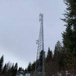
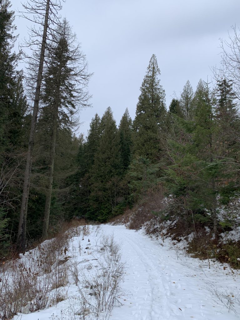
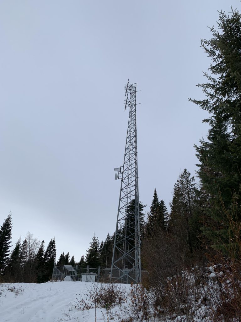
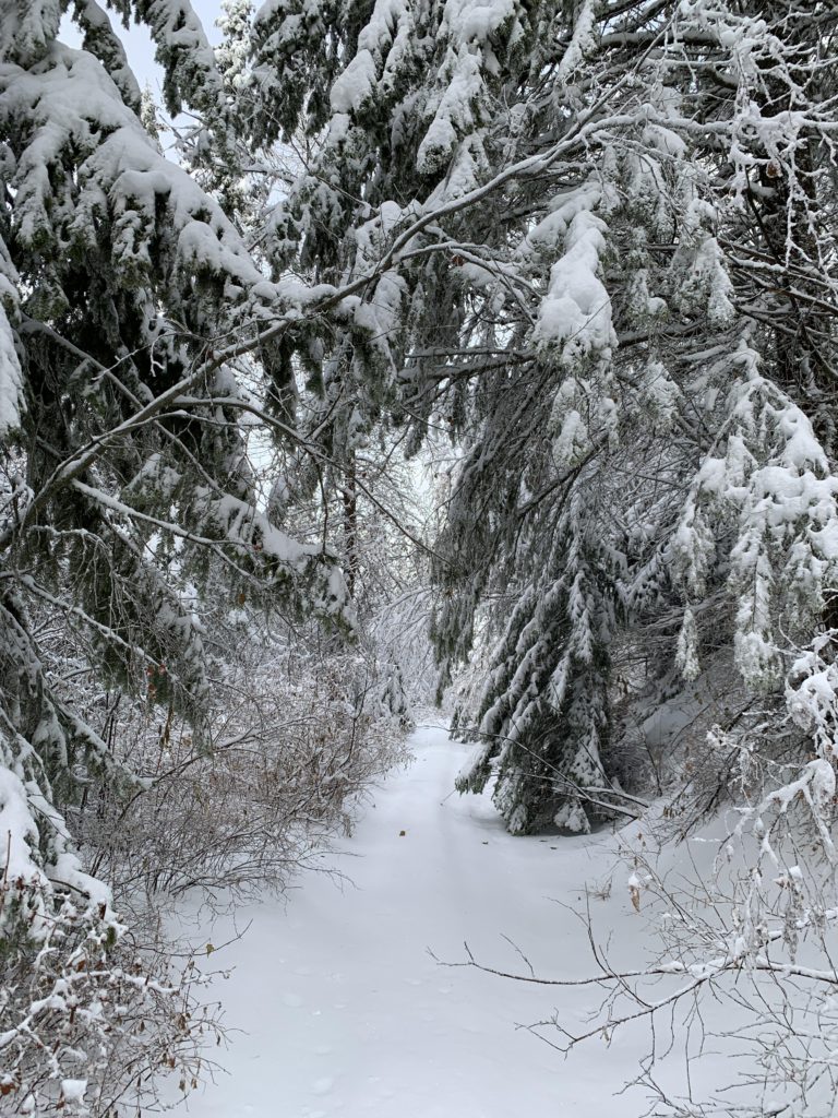
A maze of old forest roads leads up Rathdrum Mountain, so a GPS may be helpful to navigate the multitude of forks. The trail commences at the parking lot entrance, next to the brook, taking the form of a forest road (in fact, it is the blocked-off continuation of the road you drove in on). The trail immediately climbs in a winding fashion. If you take all the proper forks, you’ll end up at the Post Falls Radio Tower in about 3.5 miles, mostly through light forest with an occasional view across Rathdrum Prairie. Leaving the tower behind, the trail heads straight north and continues to climb. It reaches another fork in a mile, with the option to go either way. We swung a left on the way up, with the trail contouring along a bit, switchbacking twice (good views!) and reaching Rathdrum Mountain Road (a forest road) in a bit over half a mile.
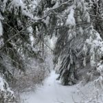
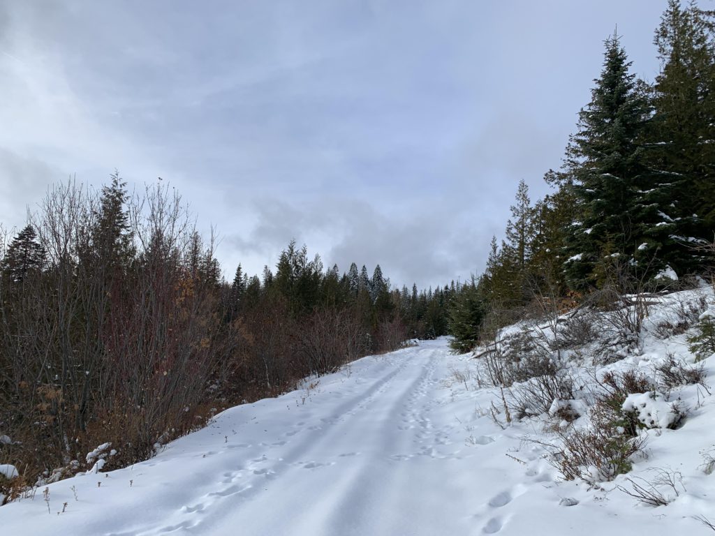
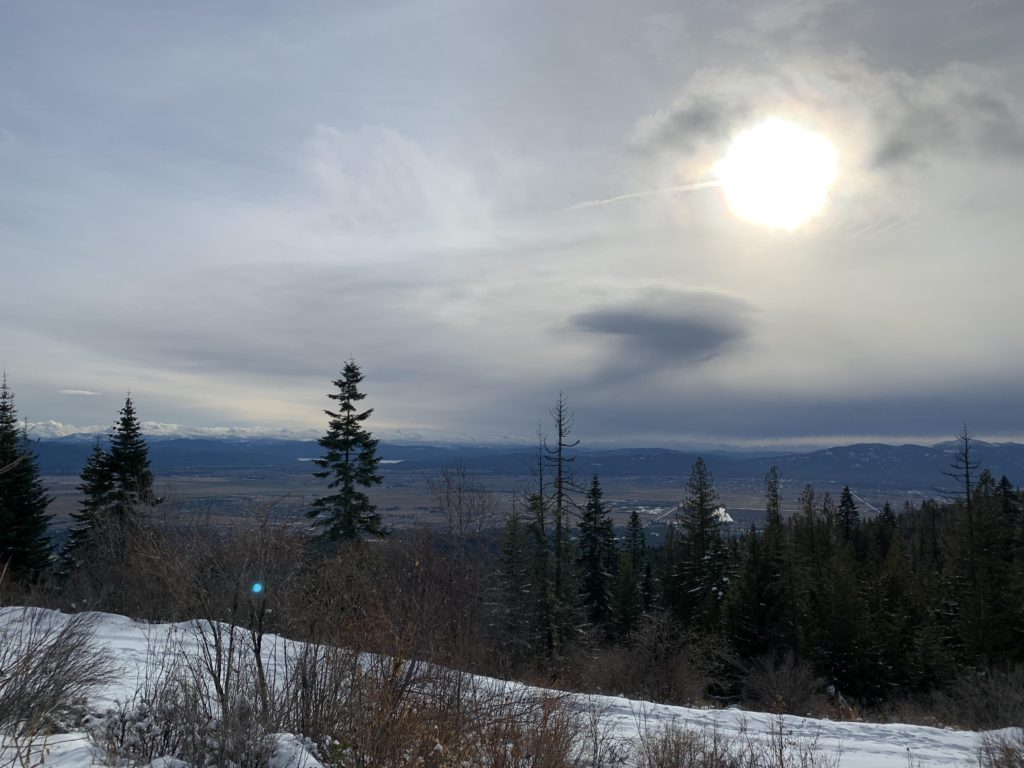
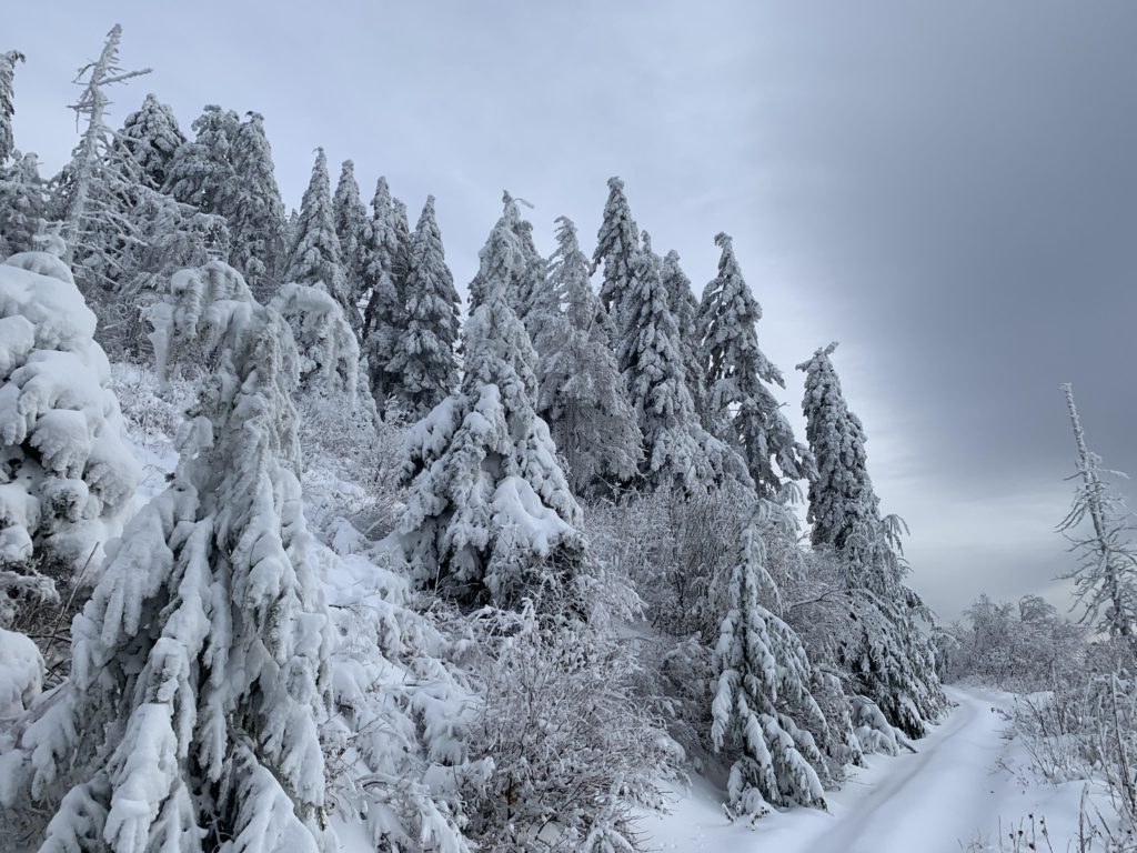
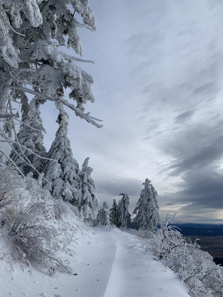
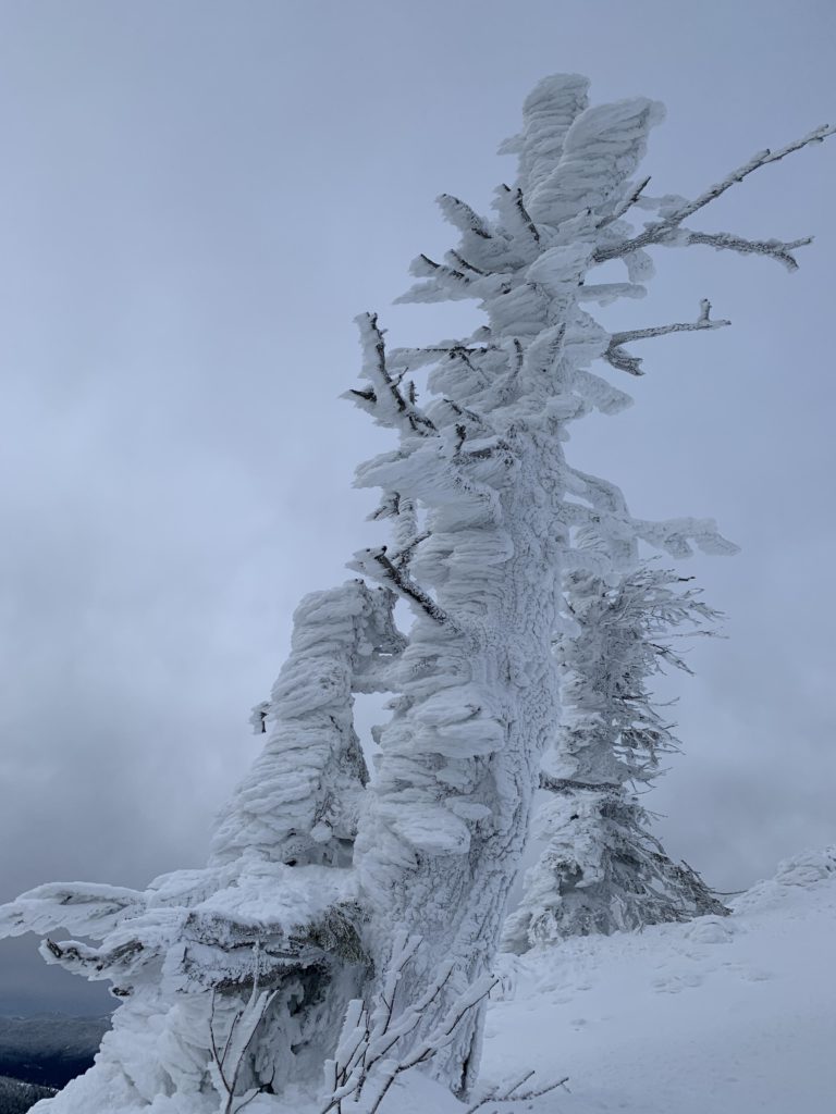
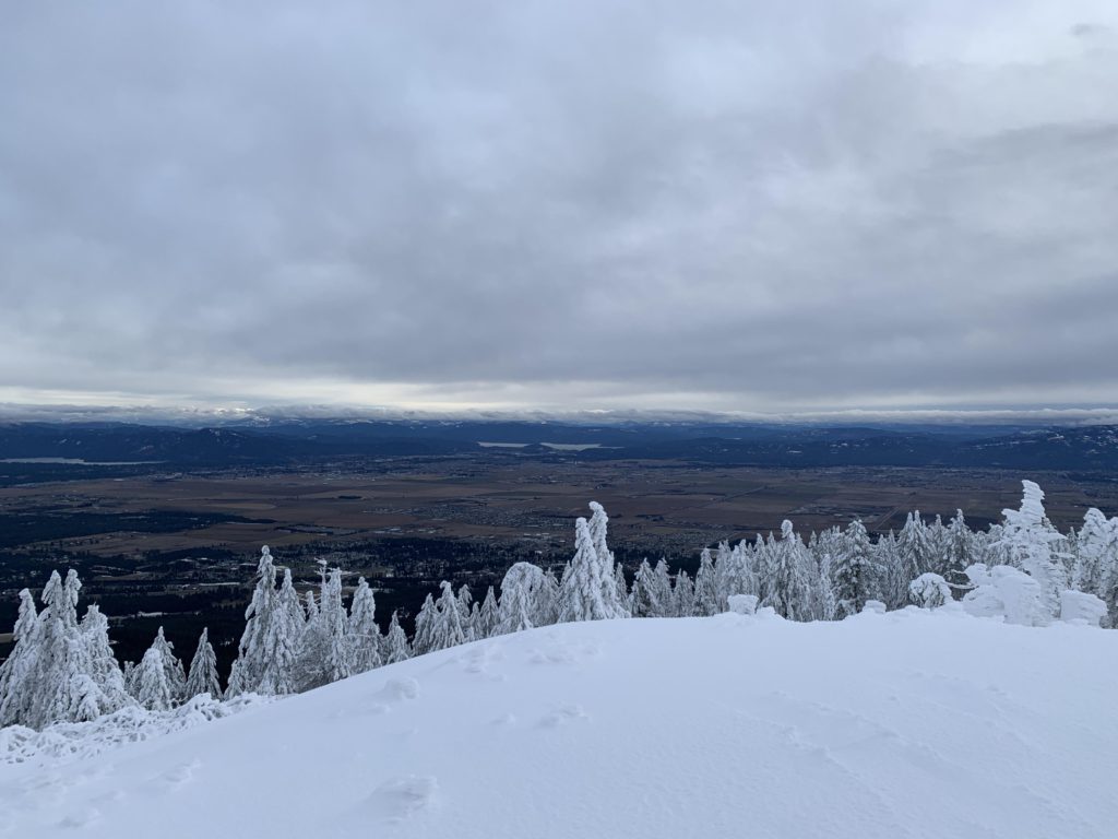
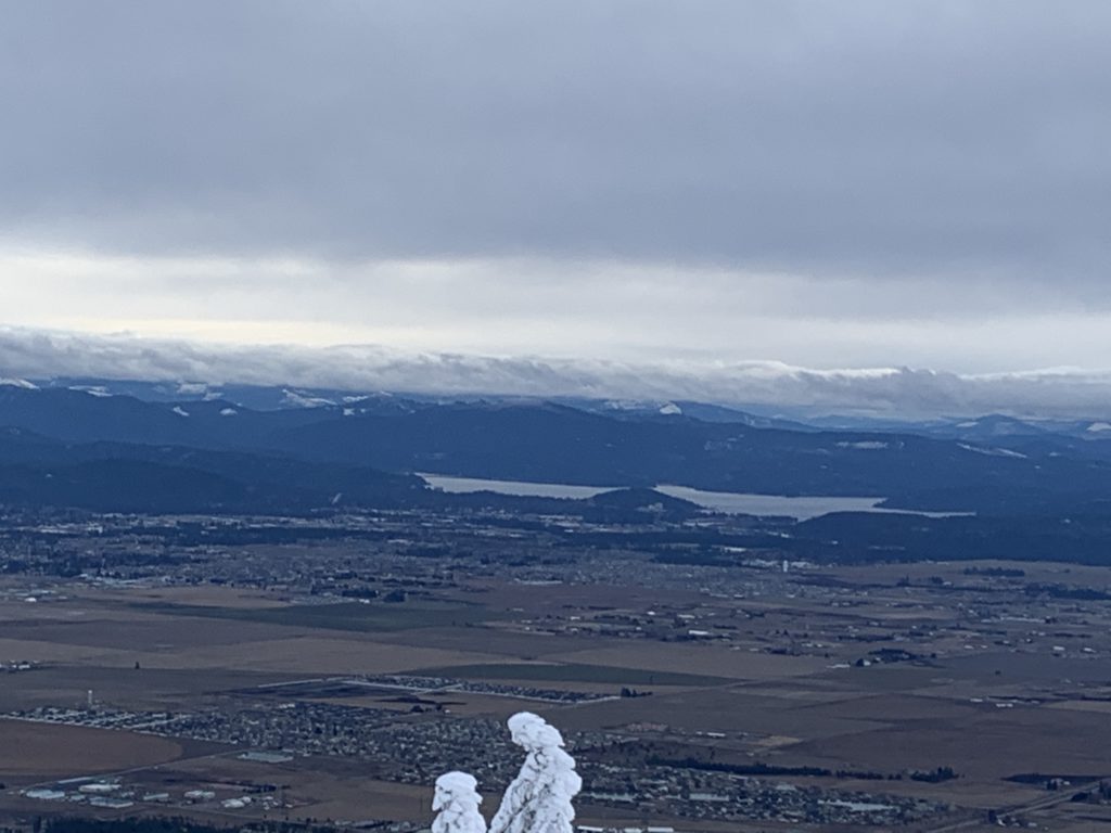
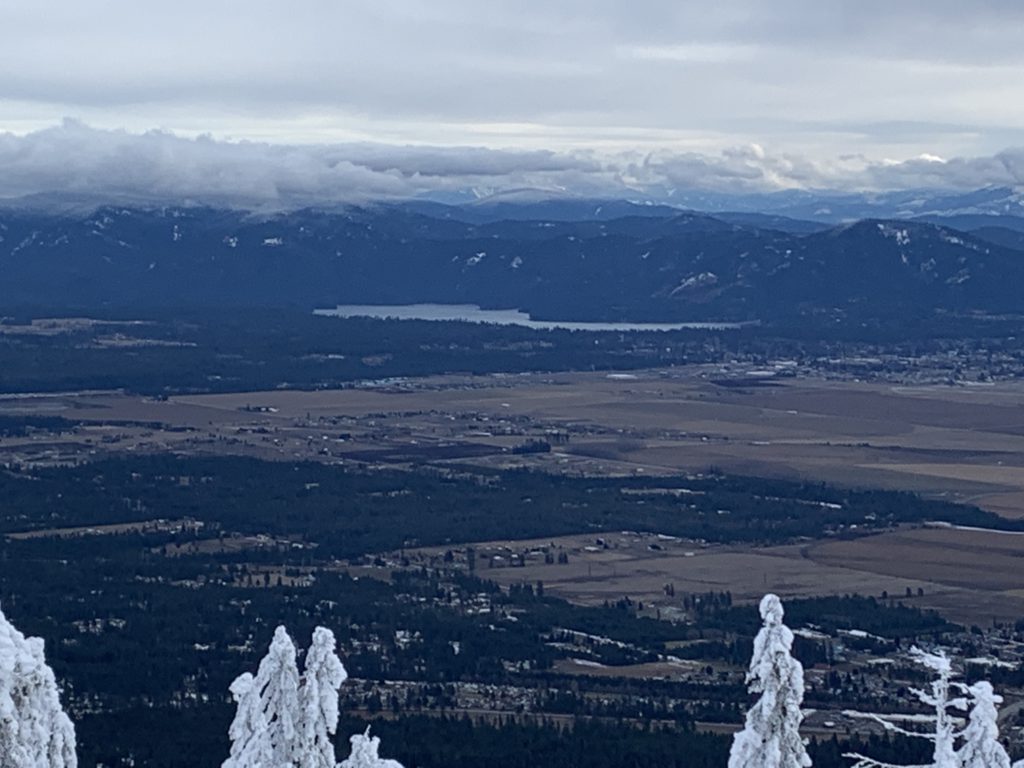
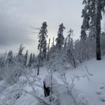
Turn right onto Rathdrum Mountain Road and follow it uphill. It makes an extensive detour along the western face of Rathdrum Mountain, while completely hemmed in with no views whatsoever. In fact, the snow-laden boughs were leaning heavily into the trail. Following a switchback, you get to traverse the western face again, going the other way, but higher up. The views start to improve when you “turn the corner” to Rathdrum’s southeastern flank and the views of Lake Coeur d’Alene get quite majestic. Continuing at a steady climb, you reach another fork at the seven-mile mark. On the downhill route we took this route northeastwards, which means a grand excursion along Rathdrum’s southeastern flank and the smaller peak on Rathdrum’s eastern side, before returning to the junction at the 4.5-mile mark.
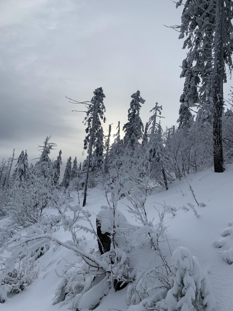
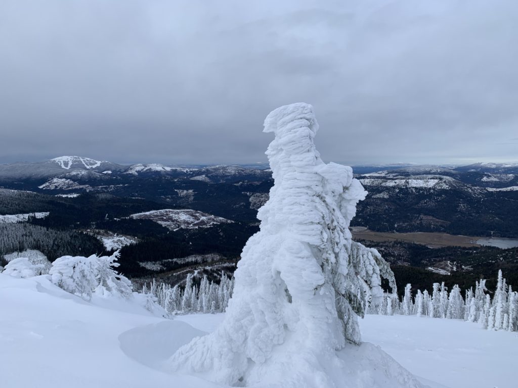
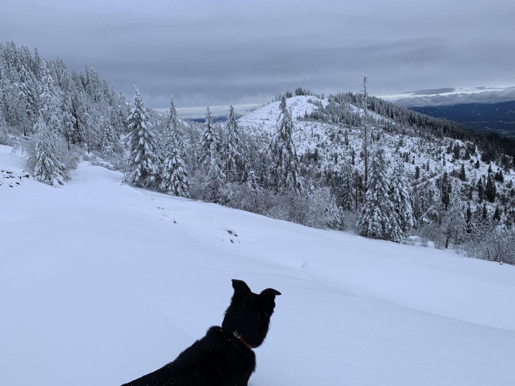
First, however, it is uphill for another half mile an a good twin-track to a spot where the trail drops down and points northeastwards, while the peak is due west. Having done so much climbing through deep snow, this didn’t seem right, so we bushwhacked to the peak, a few hundred yards uphill. It was steep but quite straightforward and probably harder without so much snow on the ground covering the underbrush.
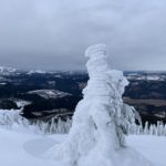
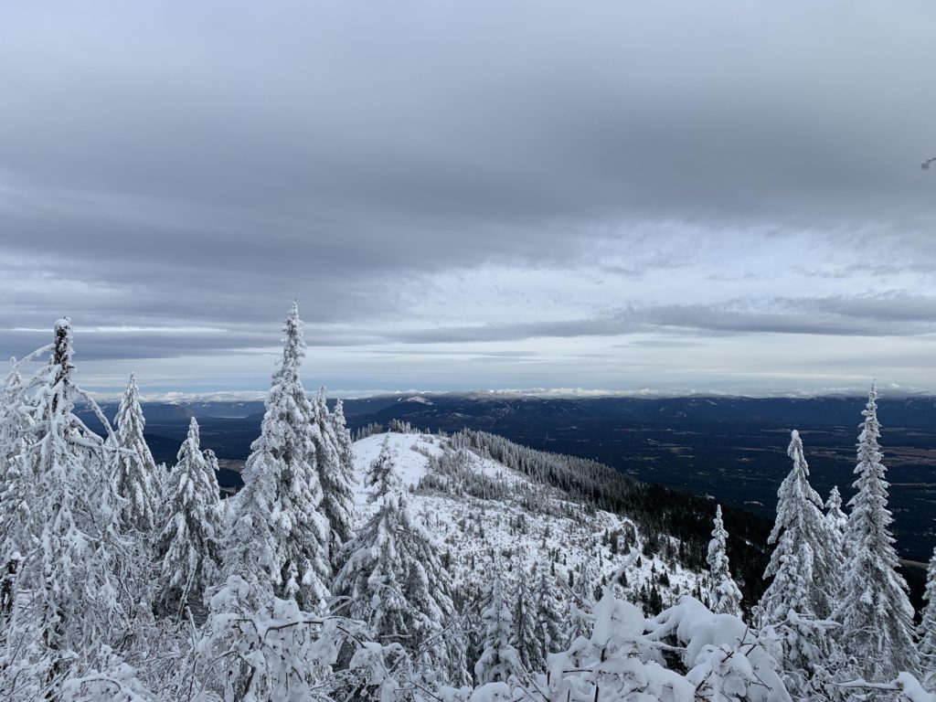
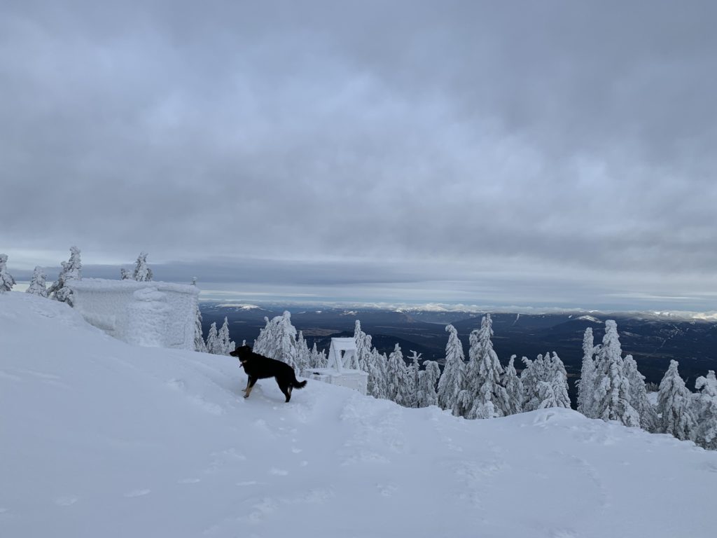
The windswept mountaintop has everything you could hope for in terms of views, which includes a slew of lakes: Twin Lakes (closest), Pend Oreille, Hayden, Coeur d’Alene, and Hauser, among others. Also very prominent are the downhill ski chutes on Mount Spokane.
Alternate Routes
- There are a couple of short loops at the trailhead: Storybrook is a short loop along the brook and another loop (Watershed Loop) starts at the disc golf course area
- Alternative access points are from the Twin Lakes side through Inland Empire Paper property; permits required ($2.50 for walk-in; $15 drive-in)
Things to Consider
Not so great