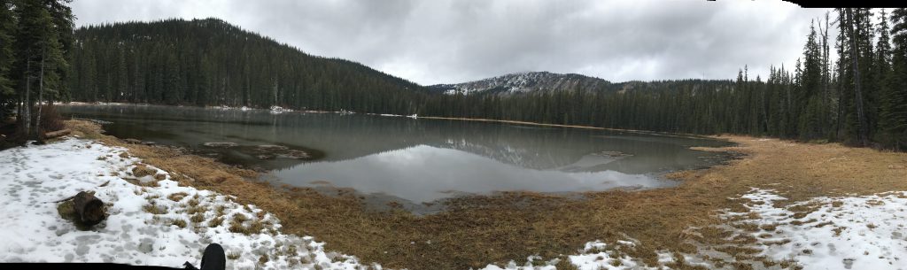
Lake Darling – Pend Oreille Divide Loop

Lake Darling is one of five lakes situated in this northwest corner of the Cabinet Mountains. A pleasant trail leads through an evergreen forest of fir and spruce to the lake, which comes with a pretty campsite and a good chance of seeing a moose. The ascent to the Pend Oreille Divide opens up views of the Selkirks, Cabinets and Purcells, while the return trip through alpine meadows high above Gordon Creek rounds out the loop.
Location
  • Cabinet Mountains
Rating
3.8 out of 5
Difficulty
Moderate (uphill)
Distance
8.0 miles
Duration
3:18 hours moving time (Hiking)
Elevation Gain
1,810 feet
High Point
6,424 feet (Pend Oreille Divide)
Low Point
4,605 feet (Trailhead)
Features
  • Mountain
  • Lake
  • Meadow
  • Outing Type
  • Daytrip
  • Trail Type
  • Loop
  • Trailbed
    Packed dirt
    Trail#
    52, 67, 161
    Water
  • Several brooks and the lake; preciously little on the ridge
  • Camping
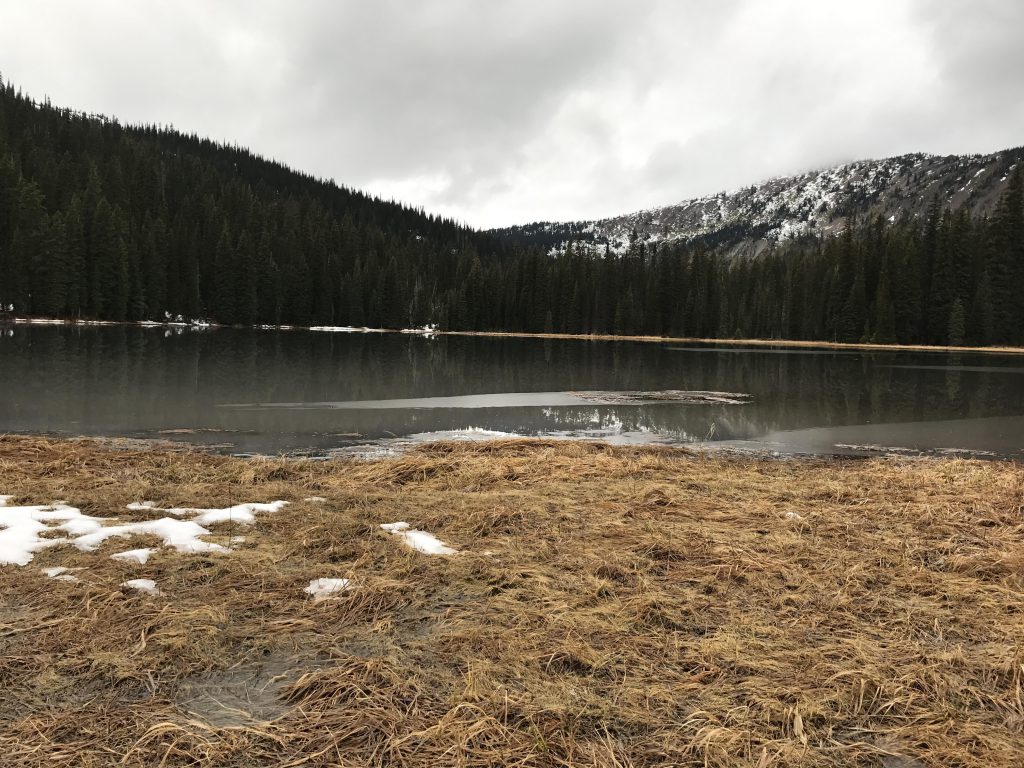
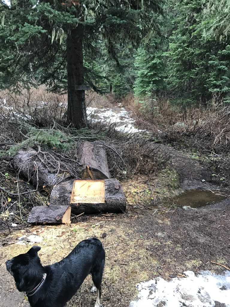
    • Campsites at the lake, including a bear box
    Conditions
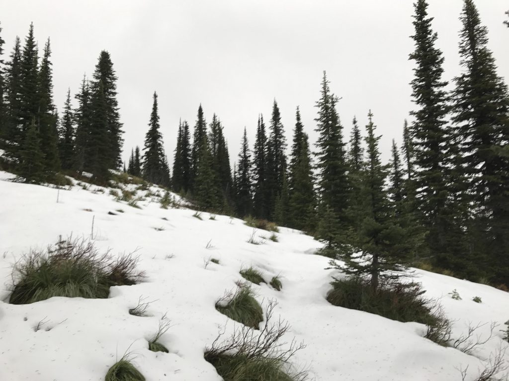
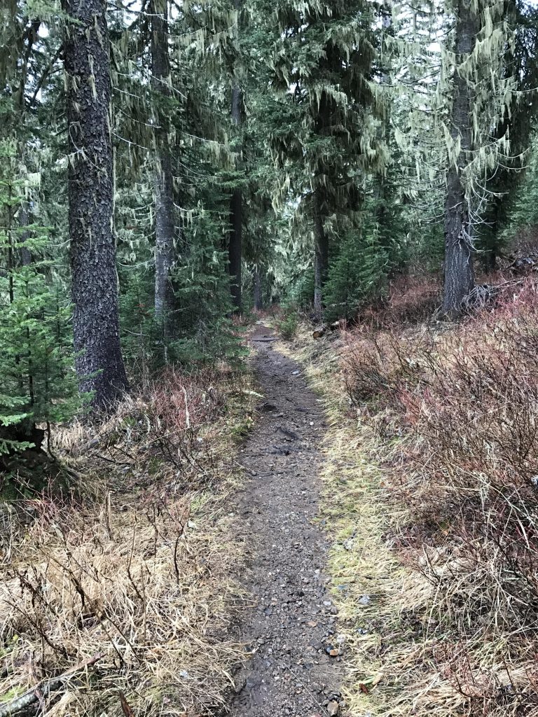
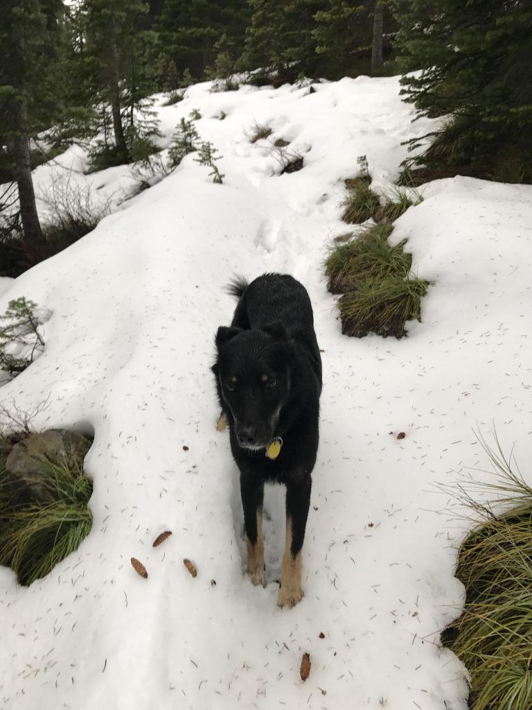
    • The trail was in great shape. We climbed over only 2 trees, both on trail 161.
    Administration
  • Kaniksu National Forest
  • Status
  • Unprotected
  • Maps
    USGS
  • Mount Pend Oreille
  • Fees & Permits
  • None required
  • (None required)
    Open To
  • Hikers
  • Dogs
  • Horses
  • Mountain Bikers
  • ()
    Directions
  • From Sandpoint take highway 200 east 12 miles to Trestle Creek Road 275 (around milepost 42); turn left onto FR 275 (this is a well-maintained gravel road) and go 16 miles to Lightning Creek Road 419; turn left onto FR 419 (a bumpy dirt road) and go approximately 1 mile to the trailhead located just before the bridge (there is more parking 50 yards up the trail).
  • Season
    June – November
    Resources
      Date
      November 12, 2016

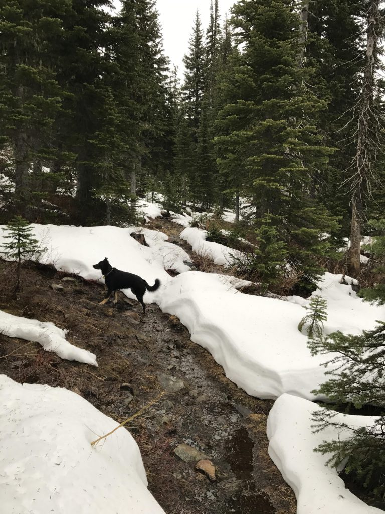
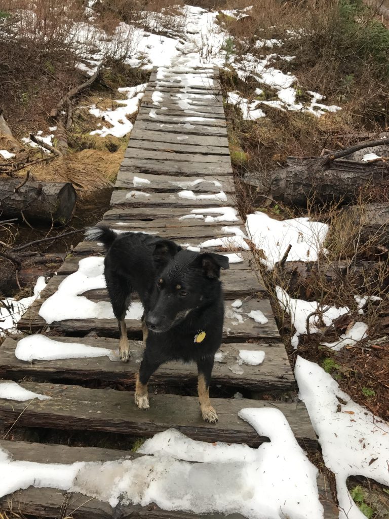
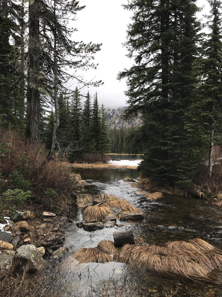
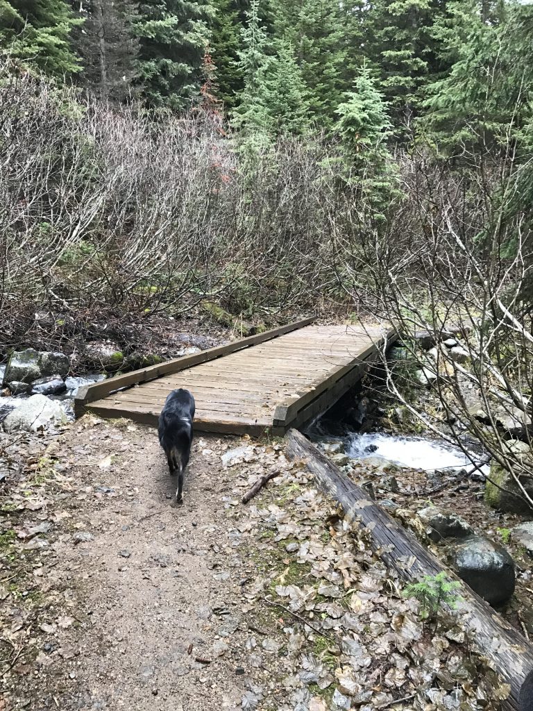
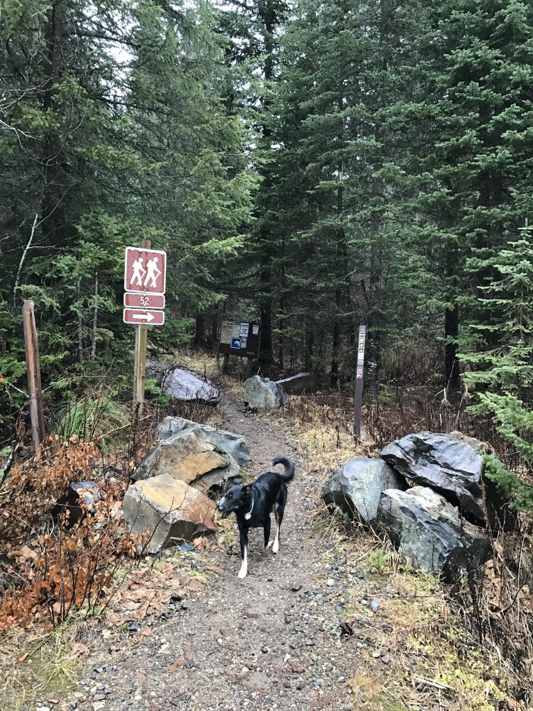
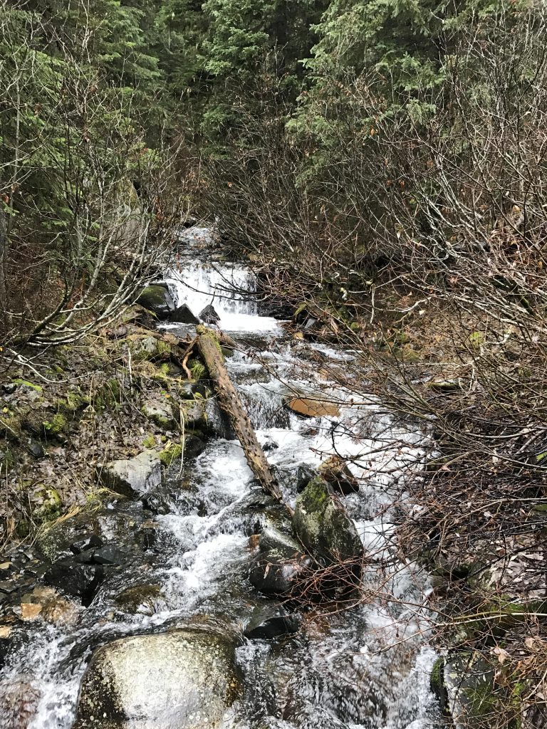
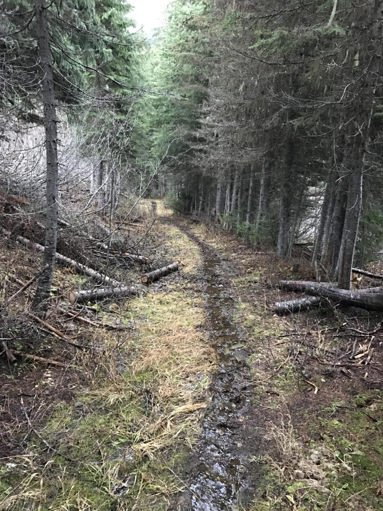
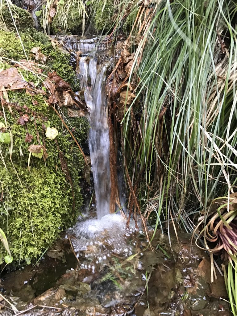
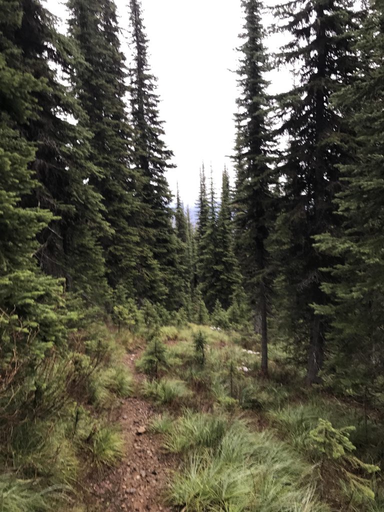
      Trail #52 is a packed dirt trail paralleling Lightning Creek for much of the way to the lake by staying high above the creek. It crosses a number of tributaries on wooden bridges. The ascent is gradual and easy, gaining only about 600 feet in the 2 miles to the lake.

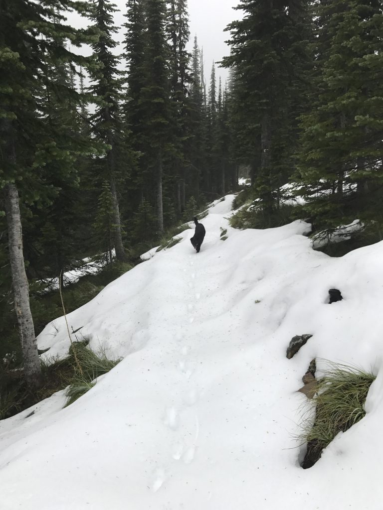
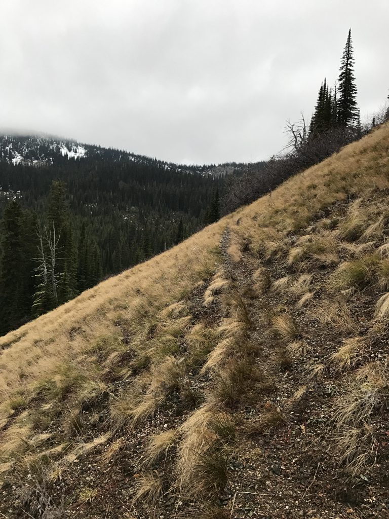
      The trail circumnavigates the eastern and northern shores of the lake, leading further and further towards the headwaters of Lightning Creek. The headwall is reached at around the 3-mile mark and here the ascent begins in earnest. A series of switchbacks dissects the side of the mountain and helps with the 1,000-foot ascent over the following 2 miles.

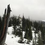
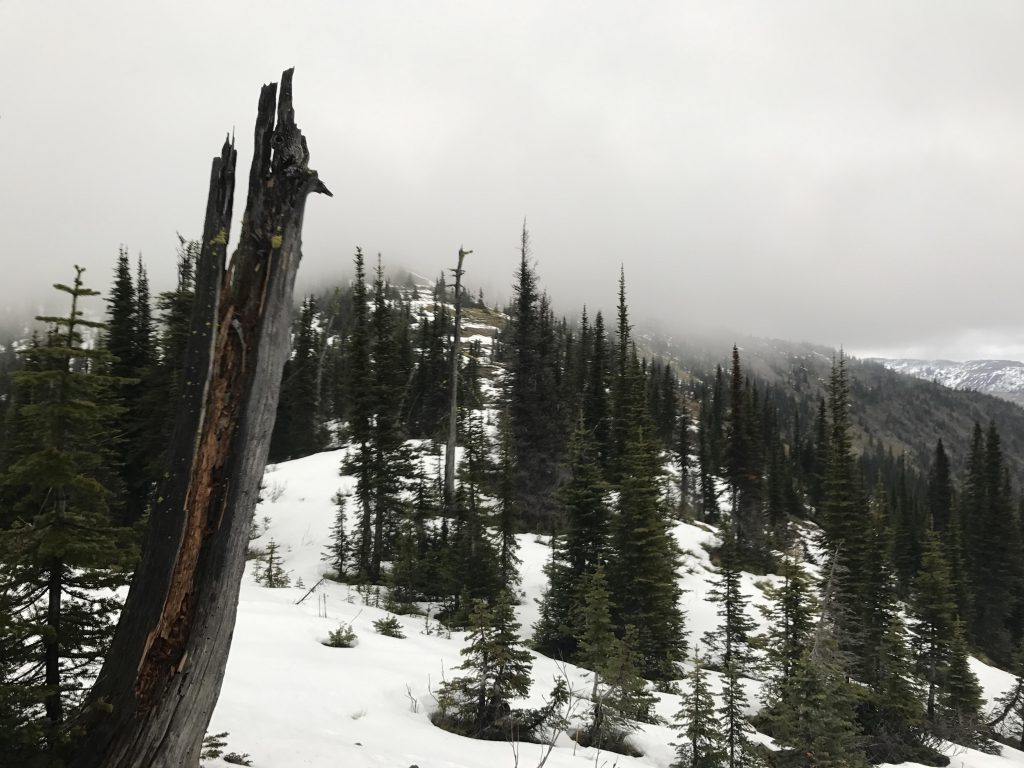
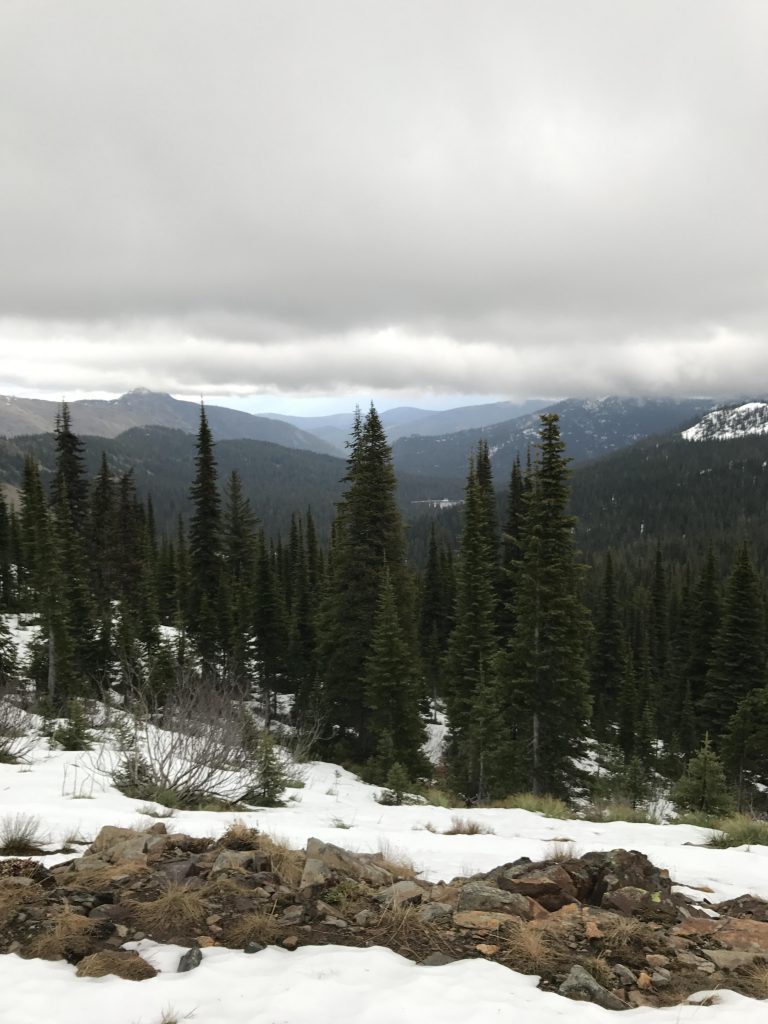
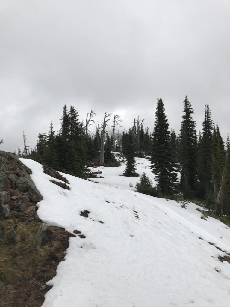
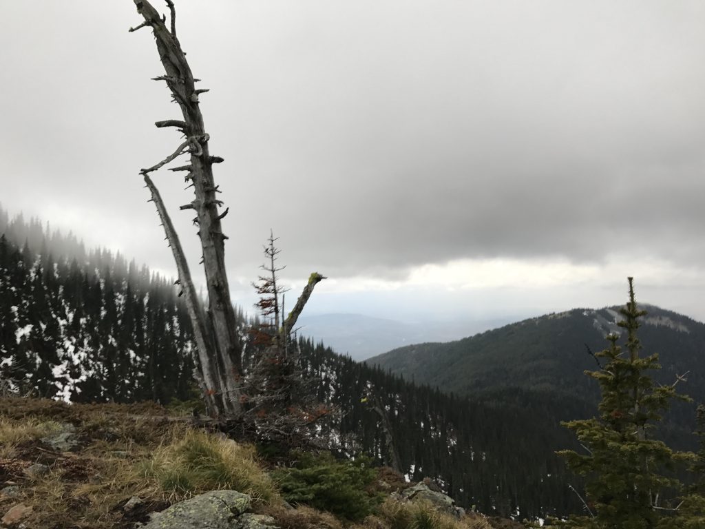
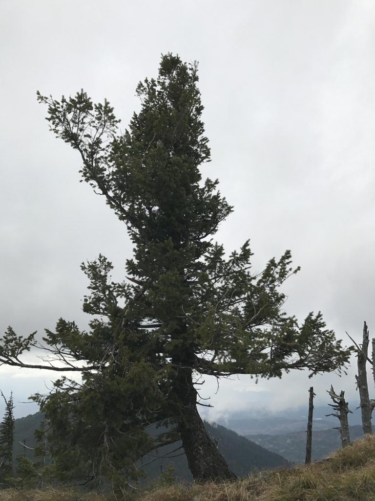
      The Pend Oreille Divide opens up vistas of the Selkirks in the west, Purcells to the north and Cabinets in the east. The latter is somewhat blocked by Mount Pend Oreille, the tallest peak in this area. It’s worth climbing, but when we were there thick fog enveloped the mountain and dashed all hopes for a spectacular view.

      To complete the loop, head west along the divide (trail #67) for about a mile. The trail first moves along the eastern side of the ridge, then climbs and shifts to the western side, thereby avoiding the unnamed peak between Mount Pend Oreille and Lunch Peak. On the approach to trail 161, the path crosses the ridge and in a short switchback moves lower to the Y. Trail #161 loses altitude quickly and makes this counter-clockwise loop much more manageable than a clockwise tour. Towards the end of this segment, the trail closely follows an old logging road and switchbacks down to trail #52. Take a right and head back to the trailhead approximately half mile away.

      Alternate Routes

      • Continue along trail #67 (Pend Oreille Divide trail). This is part of the Idaho State Centennial Trail. Good stopping points are Lunch Peak (featuring a lookout tower) to the south and Pend Oreille Peak to the north.

      Things to Consider

        Not so great

          Trekking through snow along the divide
          Uprooted tree on the divide Trekking through snow along the divide
          Mount Pend Oreille shrouded in fog
          Views north towards the Purcells
          Snow was up to a foot deep on the divide
          Great views from Pend Oreille divide
          Windswept tree on ridge
          Uphill slope towards Pend Oreille Divide
          Hitting snow at around 5600 feet
          Fall is a great time for mushrooms
          Some bridges are in need of a little TLC
          Lake Darling
          Lake Darling panorama
          Lake Darling outlet
          Intersection with trail 154
          Trail towards Lake Darling
          Numerous wooden bridges make traversing muddy areas easy
          Trailhead
          Open meadow near Lake Darling
          Lightning Creek far below
          Lightning Creek tributary
          The bottom section of #161 follows an old logging road
          Steep meadows on trail #161 are a likely location for elk sightings (we didn’t see any, though)
          Seasonal brook
          Dropping below the snowline on trail #161
          Naughty turning her paws into “snowshoes”