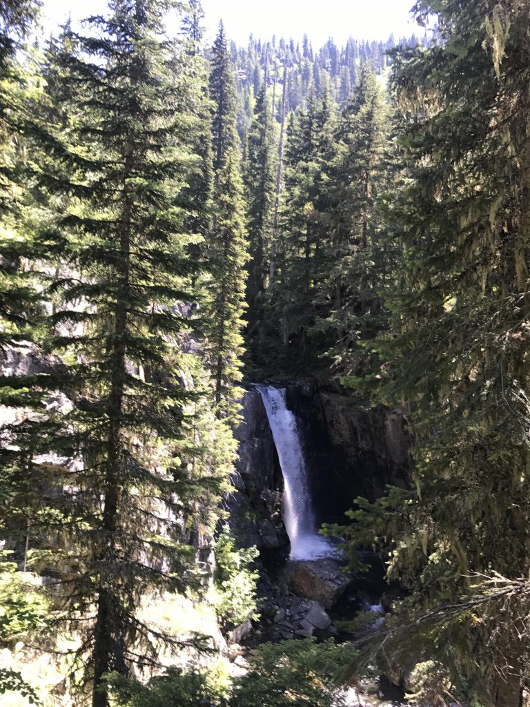
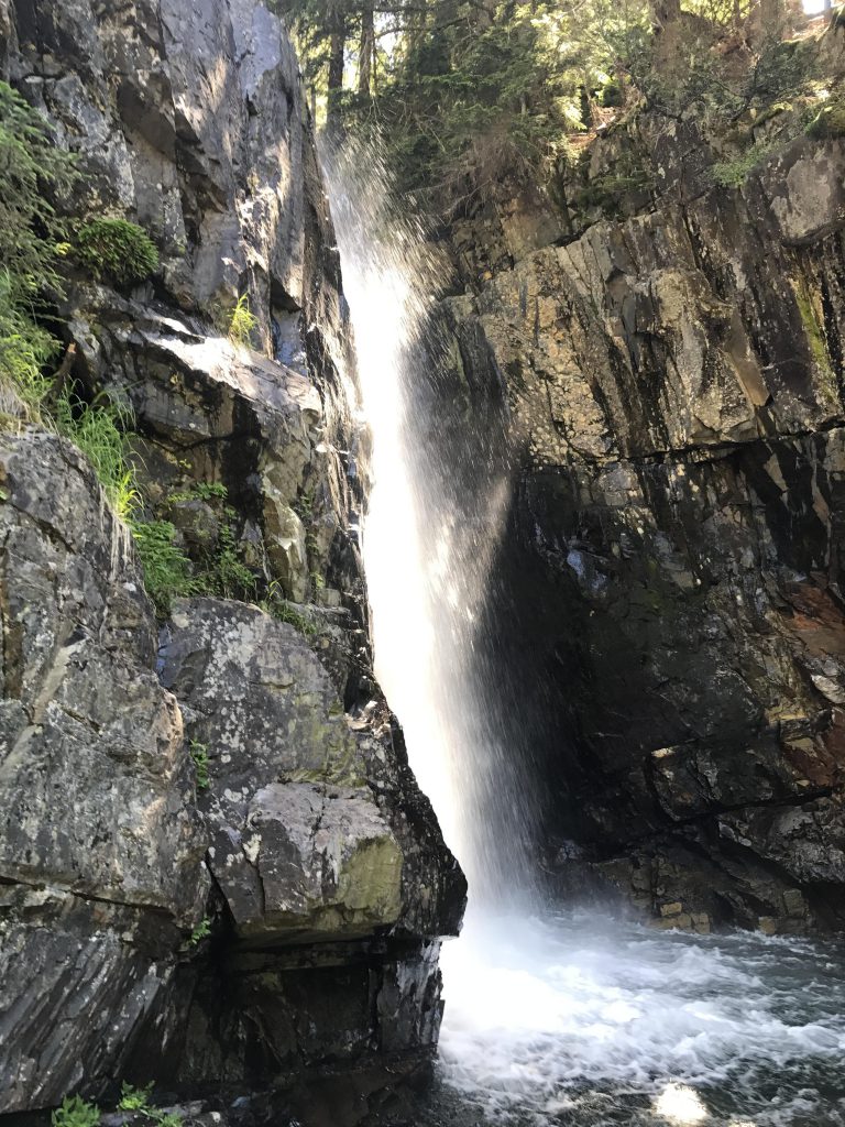
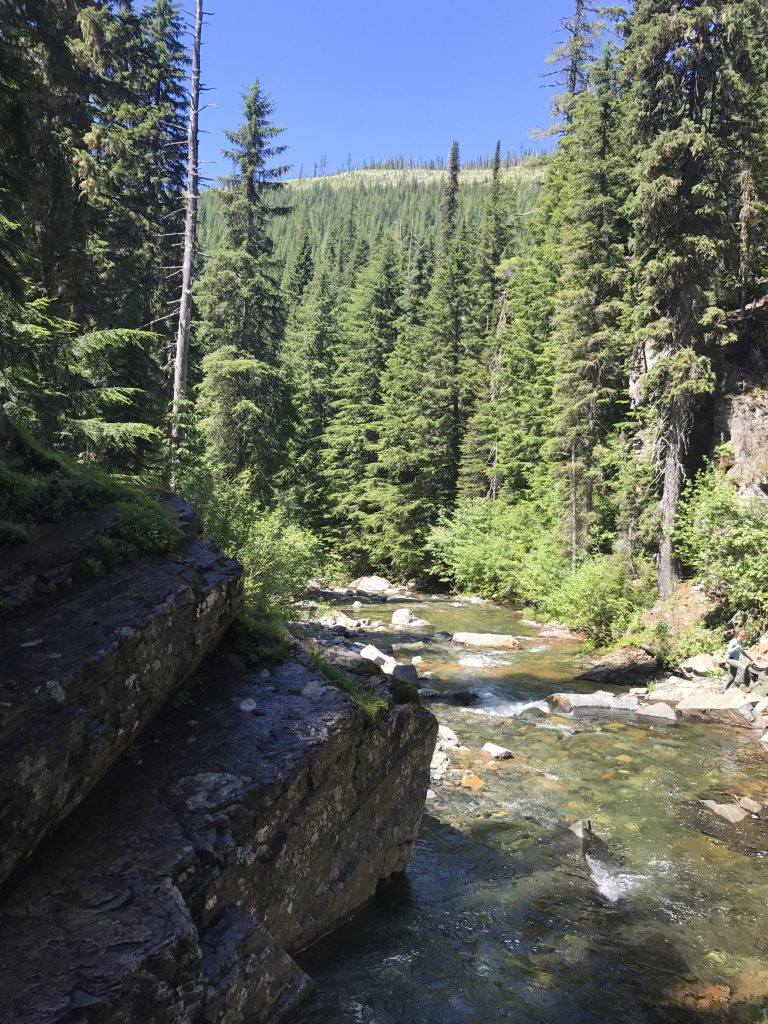
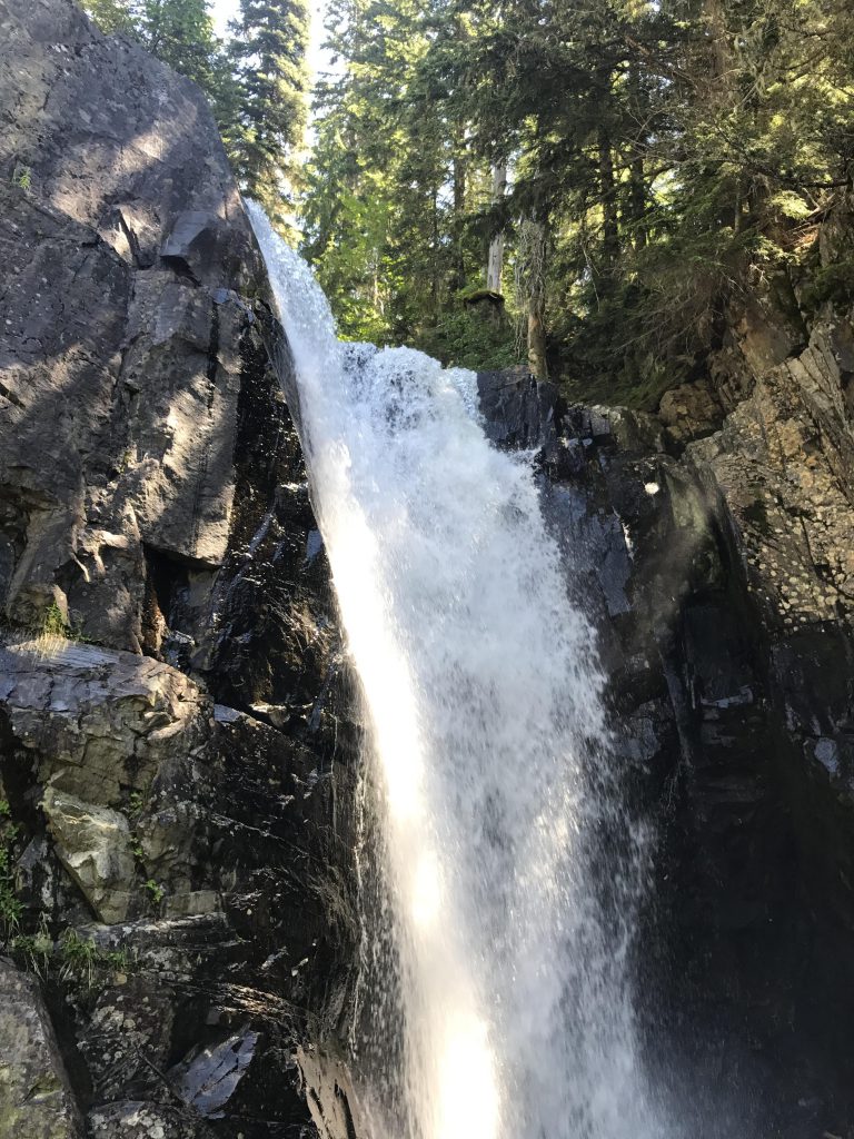
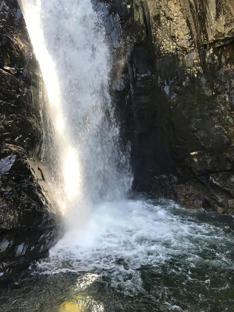
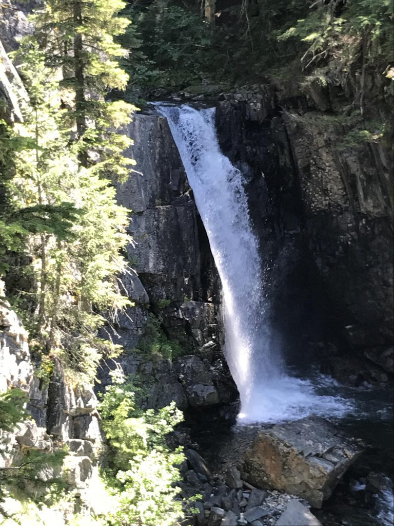
Char Falls is more of a stroll than a hike, but if you happen to be hiking in this remote area of the Idaho Cabinets you may as well pay a visit. You’ll find a nice cool spot on the rock slabs amidst the upper falls, and a short scramble brings the not-so-faint-of-heart to the bottom of the 50-foot main waterfall.
Location
Cabinet Mountains
Rating
2.6 out of 5
Difficulty
Easy (except for the scramble down to the falls)
Distance
1.2 miles
Duration
0:25 hours moving time (Hiking)
Elevation Gain
98 feet
High Point
4,194 feet (Trailhead)
Low Point
4,051 feet (Char Falls)
Features
Waterfall
Outing Type
Daytrip
Trail Type
Out-and-back
Trailbed
Logging road
Trail#
Water
Lightning Creek
Camping
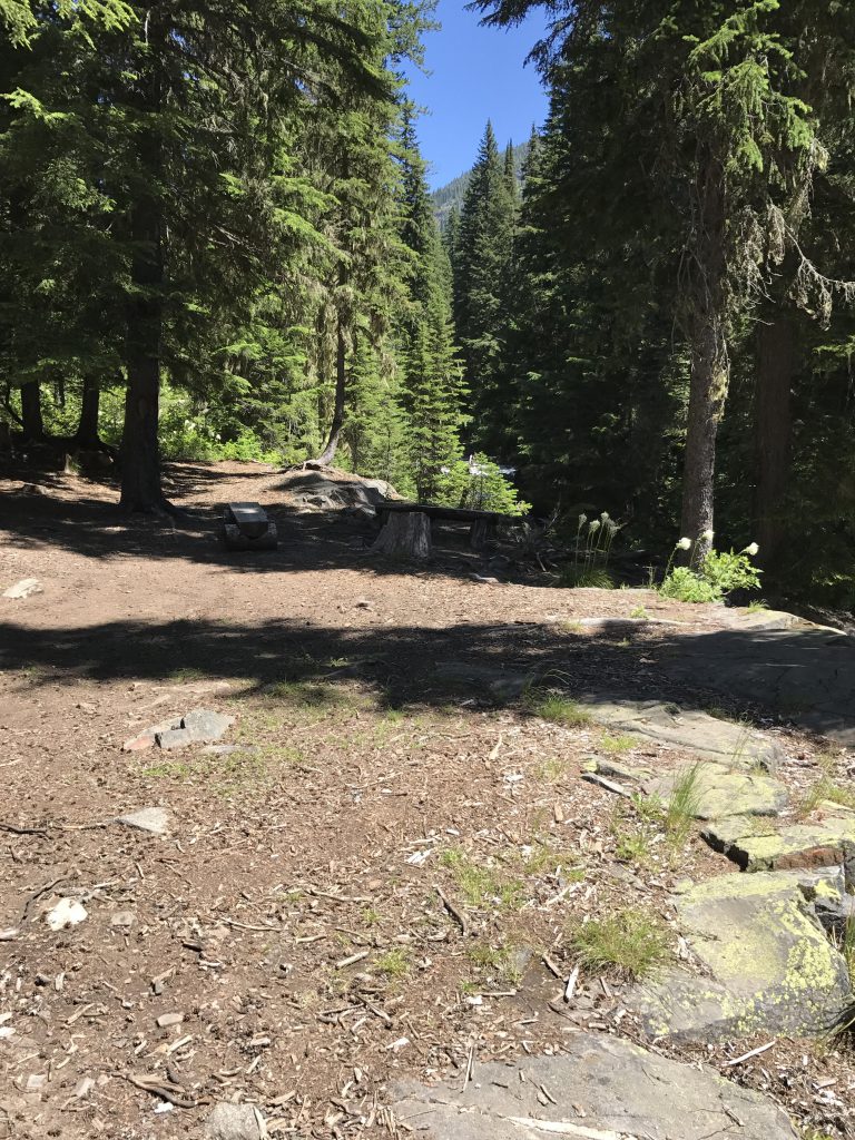
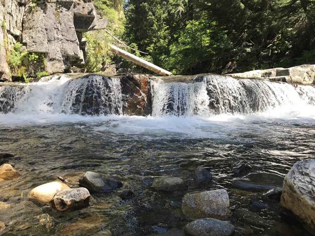
There is a primitive campside at the Char Falls overlook
Conditions
Excellent
Administration
Kaniksu National Forest
Status
Unprotected
Maps
USGS
Trestle Peak
Fees & Permits
None required
()
Open To
Hikers
Dogs
Horses
Mountain Bikers
()
Directions
From Sandpoint take highway 200 east 12 miles to Trestle Creek Road 275 (around milepost 42); turn left onto FR 275 (this is a well-maintained gravel road) and go 16 miles to Lightning Creek Road 419; turn right and follow FR 419 south for .6 miles. There is a large turnout to the left with enough parking for several cars.
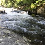
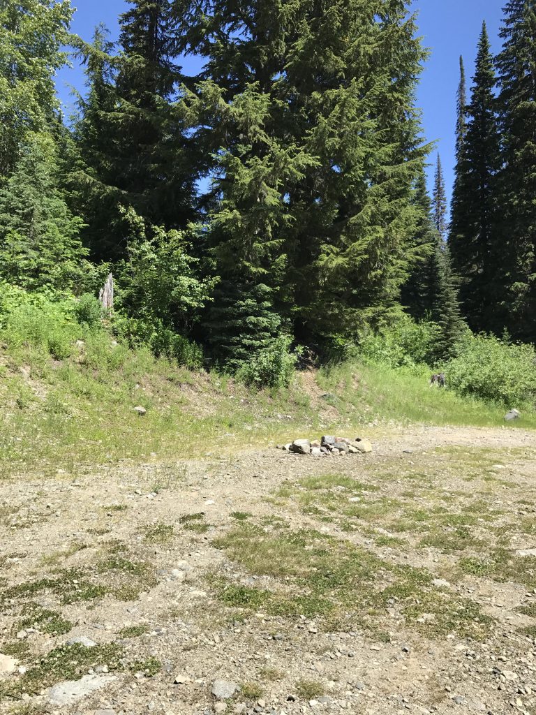
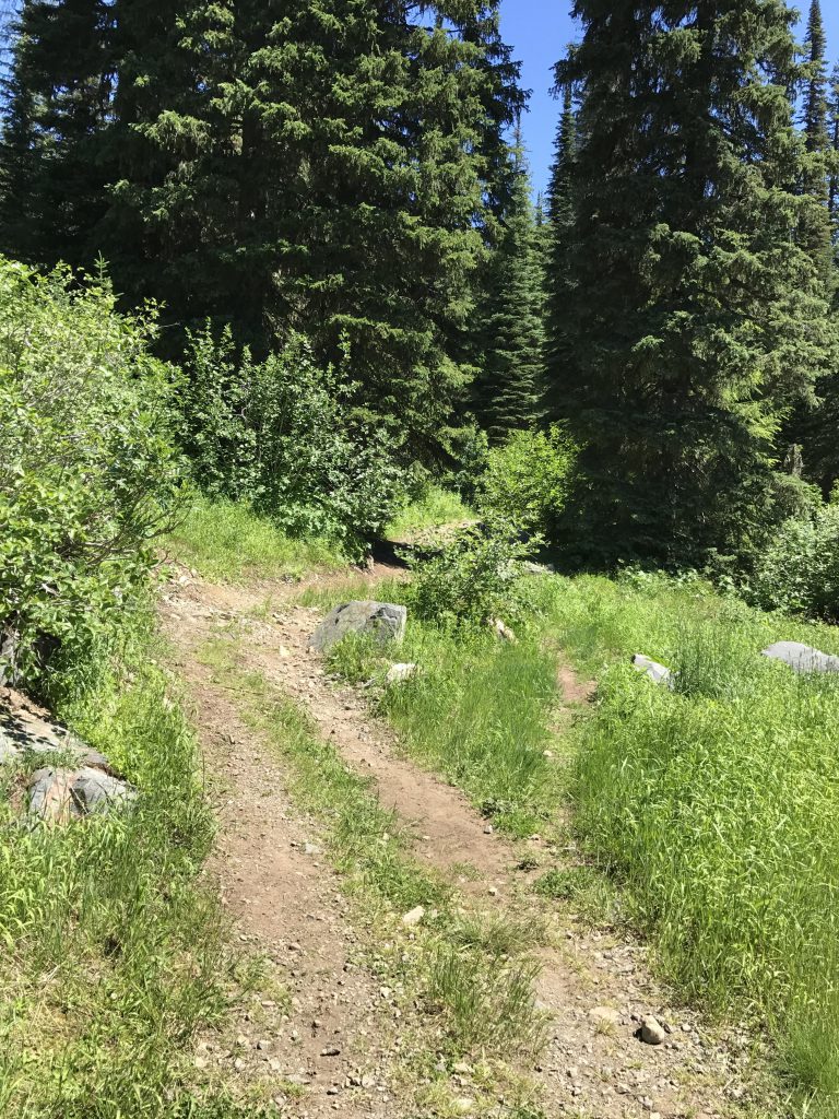
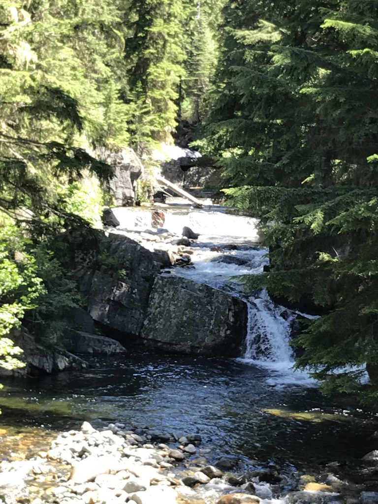
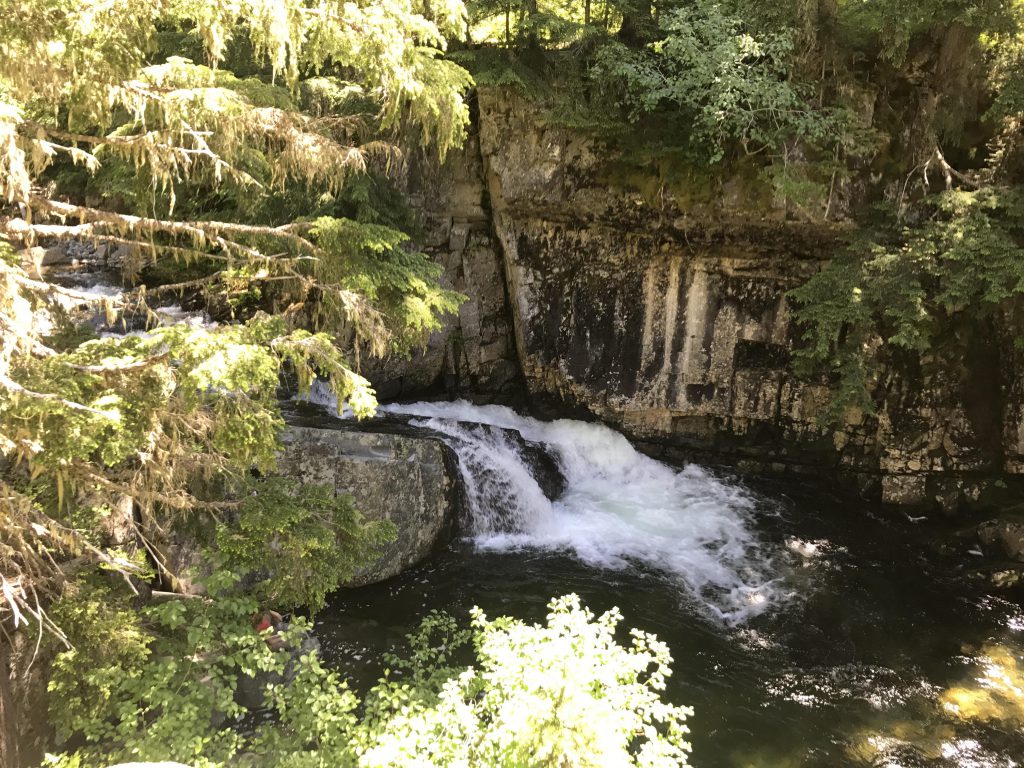
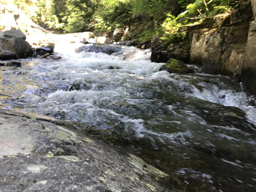
If you have a high-clearance vehicle you could chop a mile off this already short stroll, because the first half mile follows an old logging road through pine forest to a large turnaround area that’s been used by car-campers in the past. At the far end of the turnaround a double-track leads further into the woods and emerges onto the fall overlook in a couple hundred yards. It also provides access to a few smaller upper falls, an excellent location to while away the day, soak your feet, and listen to the rushing water. Or stay a night at the campsite right at the overlook.
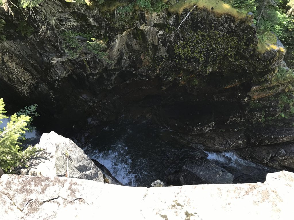
On the south side of the main waterfall a single-track leads precariously along the ridge to a spot where you can actually see the waterfall in its entirety, and then drops very steeply downhill to the base of the waterfall. A bit of rock-hopping gets you to the large rock slabs and pool at the bottom of the fall.
Alternate Routes
Things to Consider
Not so great
Turnaround areaDouble-track to fallsChar Falls overlook and campsiteSmaller rapids above the main waterfallLooking down into waterfallChar FallsChar Falls up closeLooking south from waterfallTaken from below the fallsBottom of fallsRapids above fallsA nice spot to cool your feetUpper Char Falls