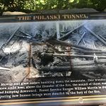
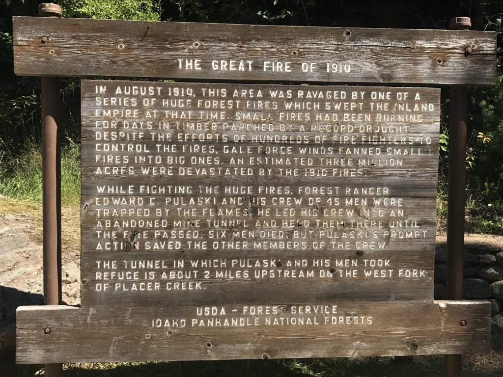
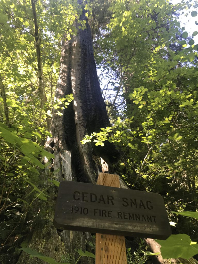
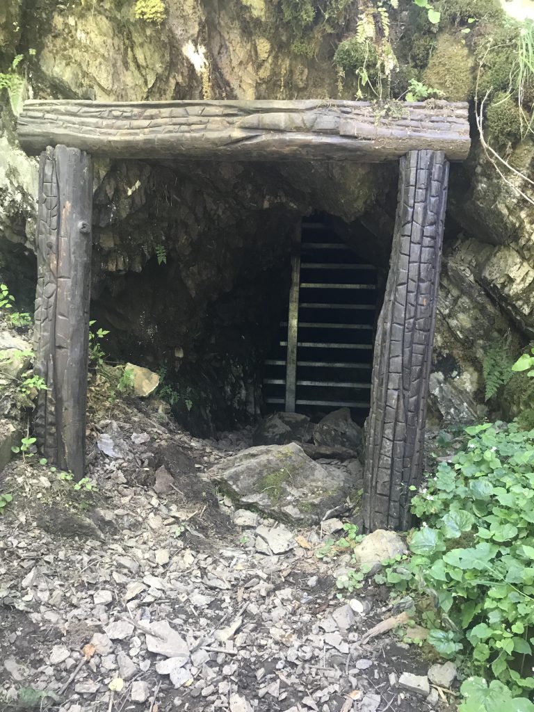
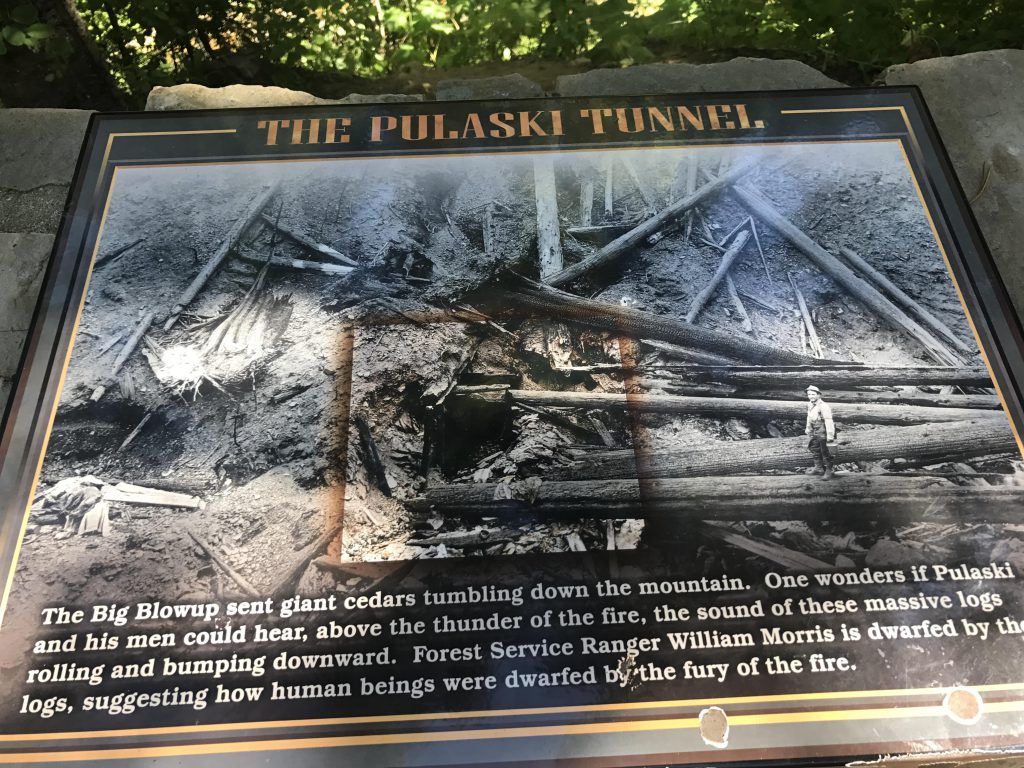
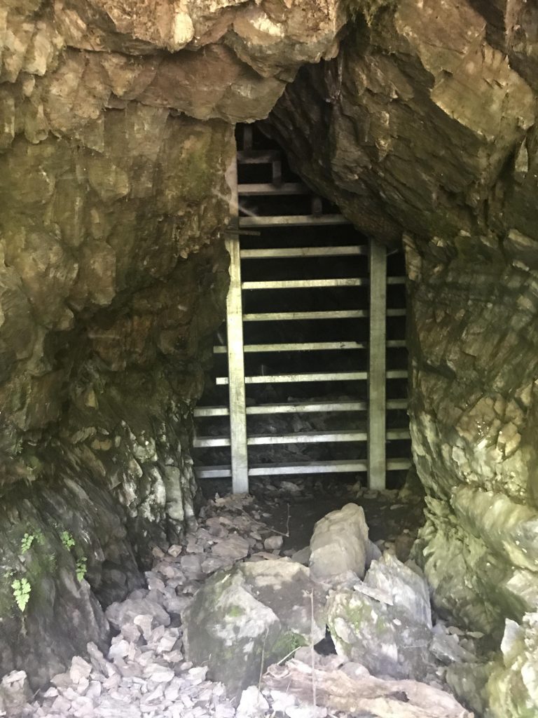
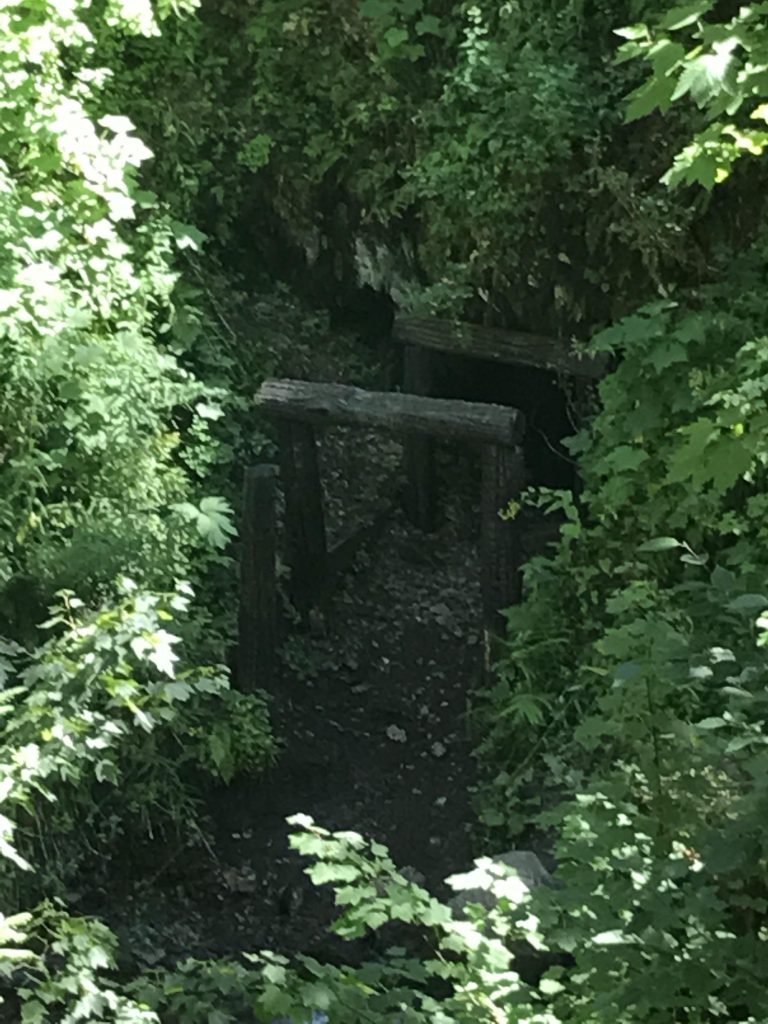
The Pulaski Tunnel trail is a great history lesson, chronicling the events of the 1910 Great Burn that consumed 3 million acres across the northwest in only 2 days. Just a half-inch of rain had fallen in June of that year, followed by none in July and by August 1,400 fires were burning across the western states. On August 20th, hurricane-force winds fanned the flames into an inferno. A crew of 45 men, led by Ed Pulaski, fought the fires near West Fork Placer Creek, some 10 miles southwest of Wallace. Pulaski’s crew retreated towards Wallace, but was trapped by a newly sprung-up fire. As a last resort, Pulaski ordered his men and two horses into the Nicholson adit, a small prospecting mine only 250 feet deep. Miraculously, all but 6 of the men survived.
Location
St. Joe Mountains
Rating
2.4 out of 5
Difficulty
Moderate (uphill hiking)
Distance
3.9 miles
Duration
1:17 hours moving time (Hiking)
Elevation Gain
713 feet
High Point
3,671 feet (Nicholson adit)
Low Point
2,895 feet (Trailhead)
Features
Structure
Outing Type
Daytrip
Trail Type
Out-and-back
Trailbed
Blacktop, packed gravel, packed dirt
Trail#
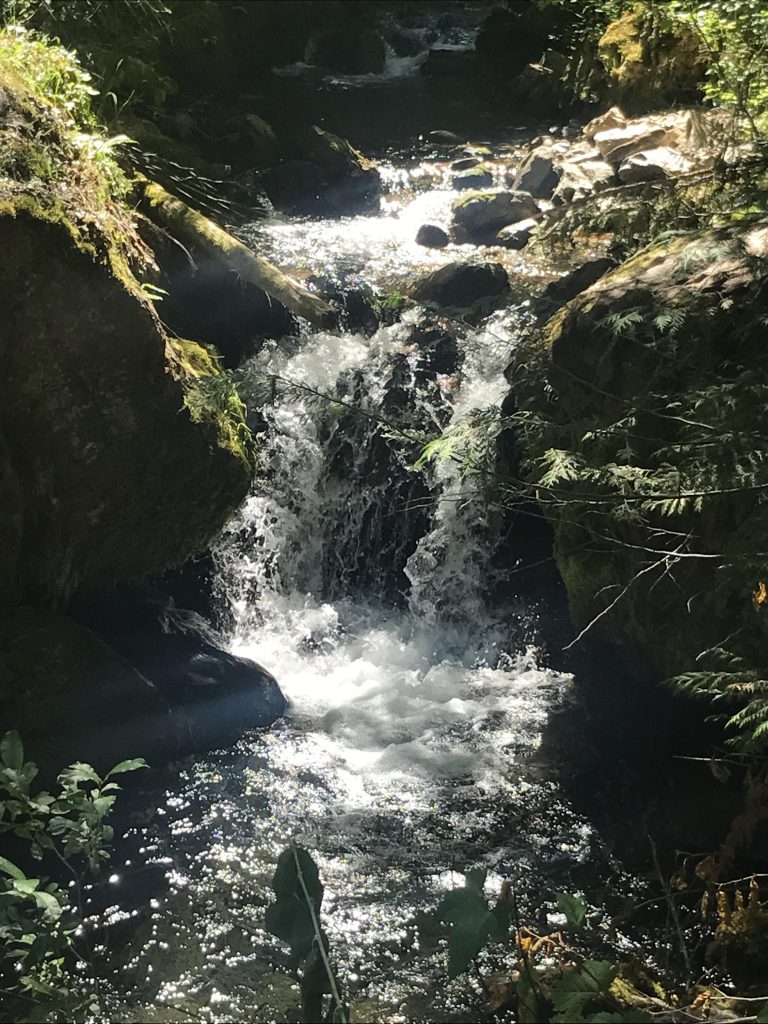
Water
Creek
Camping
There is a vault toilet at the trailhead
Conditions
Excellent
Administration
Coeur d’Alene National Forest
Status
National Register of Historic Places
Maps
USGS
Wallace
Fees & Permits
None required
()
Open To
Hikers
Dogs
Horses
(Fabulous!)
Directions
In Wallace, head west on Cedar Street until it ends at First Street. Turn left onto First, then right onto Bank Street. Follow Bank until it ends at King Street. Turn left and follow King Street for a mile out of town to the trailhead. It is well marked and there is parking for 4 – 5 cars.
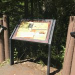
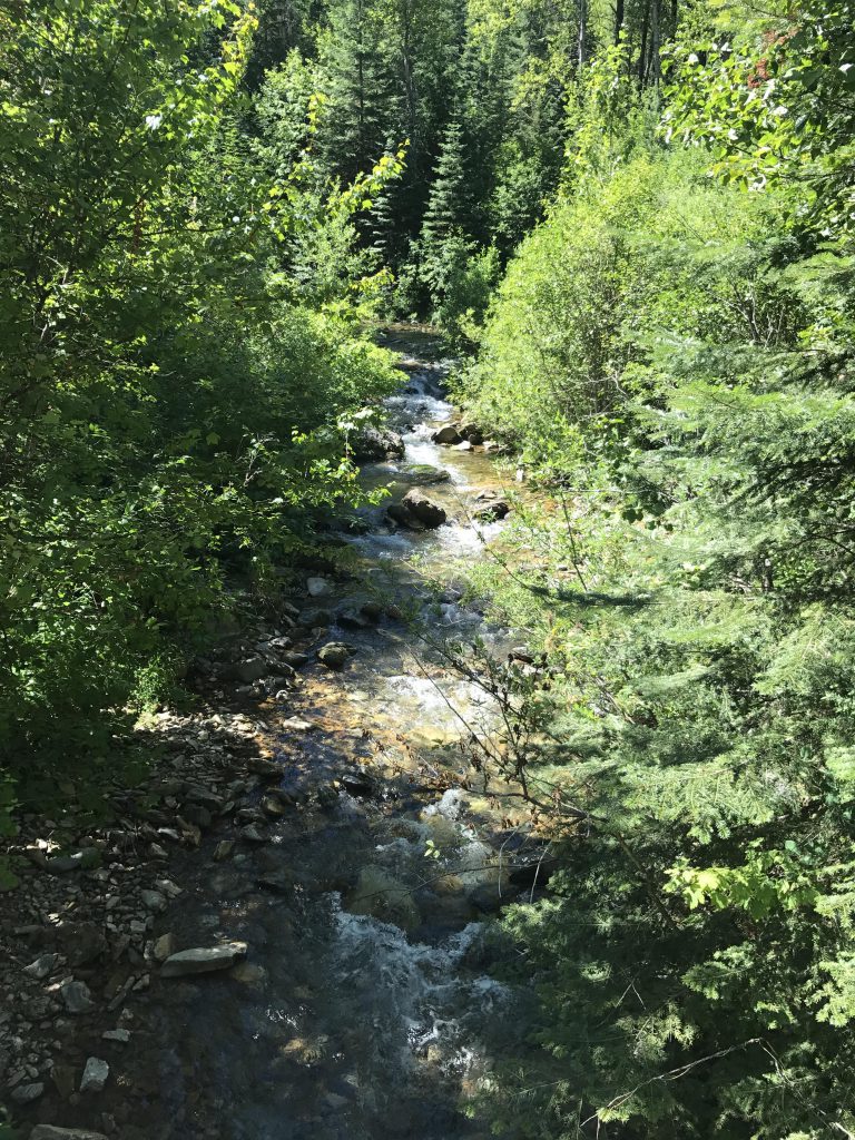
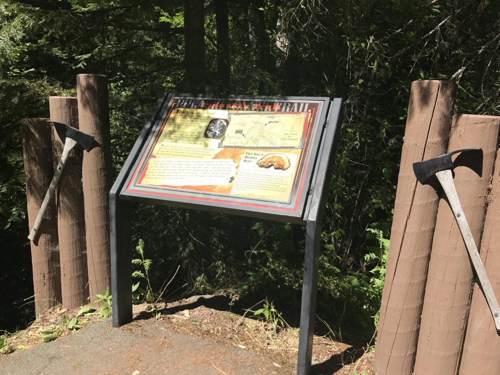
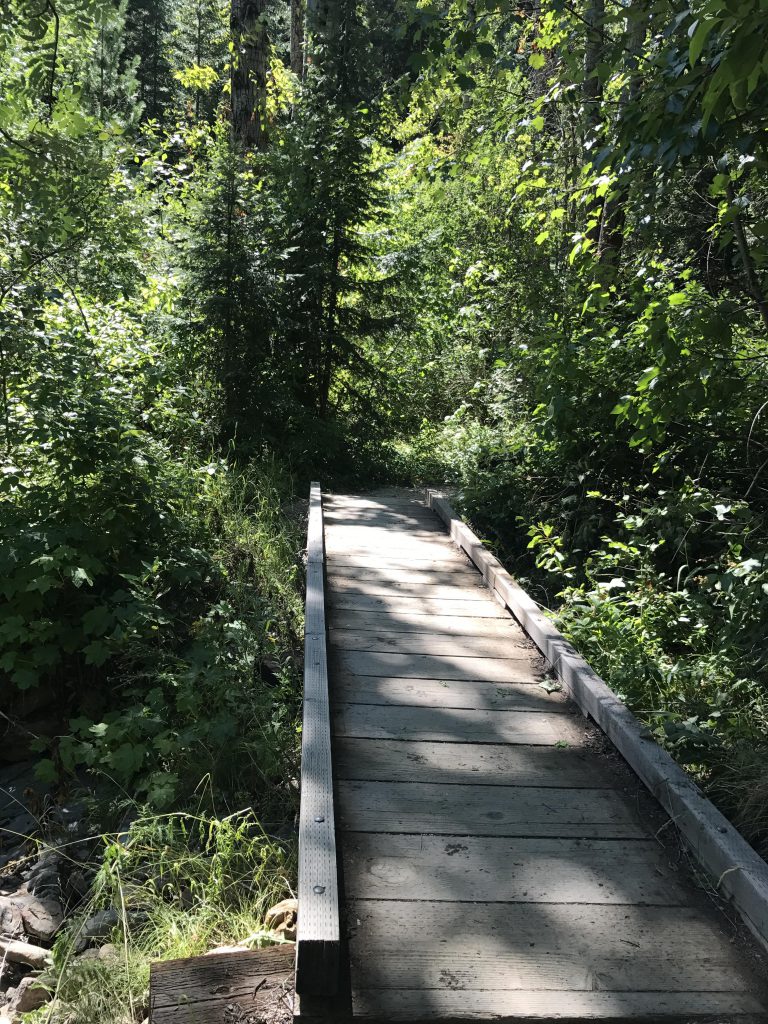
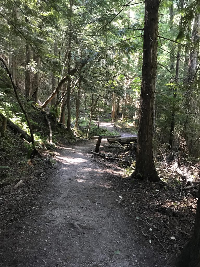
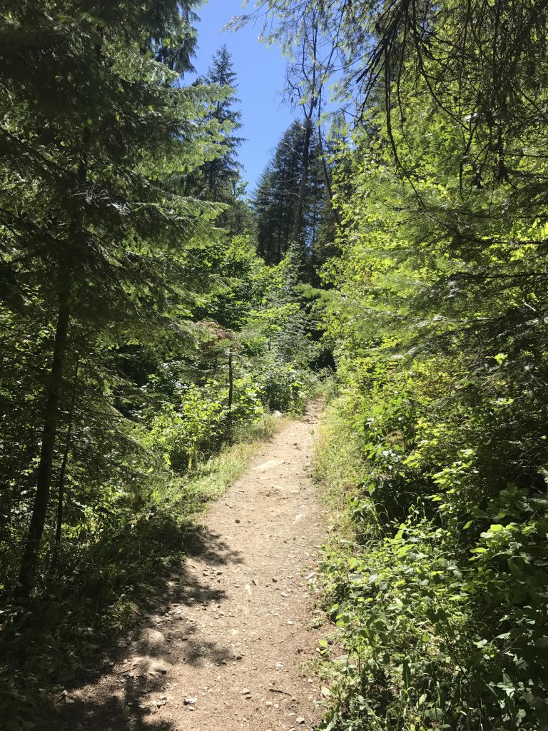
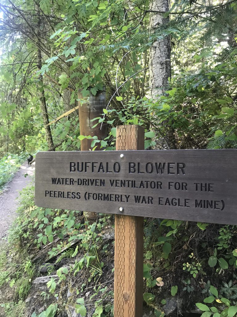
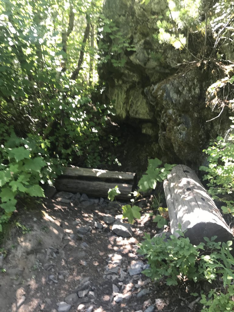
The story of the fire and Pulaski’s heroics is told by means of a dozen or so interpretive signs spread out along the 2-mile (one-way) trail, which climbs steadily uphill paralleling West Fork Placer Creek. Signs aside, there are also a number of mining remnants along the way, such as dams, piping and a ventilator (of the War Eagle mine, a much larger mine that Pulaski wanted to reach but wasn’t able to). Most of the trail is a wide single-track of packed dirt or gravel (the first few hundred yards are blacktopped and ADA-accessible). A few brooks and Placer Creek are easily crossed via wooden bridges.
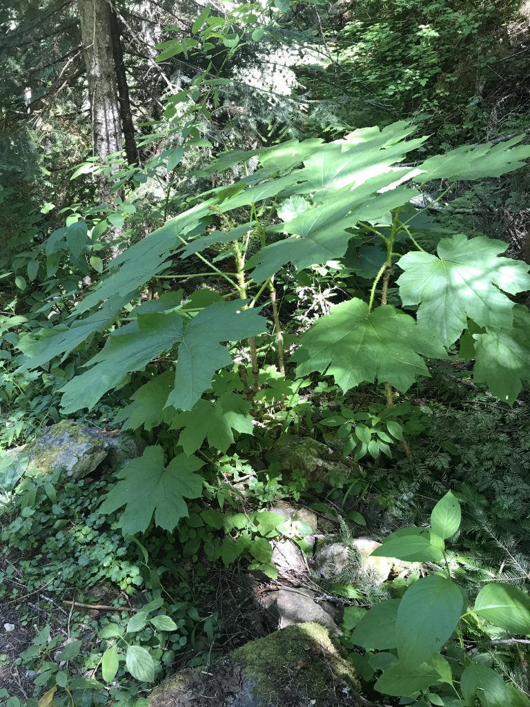
It is difficult to imagine what the area looked like after the fire. Today, the forest–fir and spruce and thick undergrowth–is lush and verdant. At trail’s end, charred-timber replicas, view-able across the creek, stand guard over the open mouth of the mine (the mine itself is barred).
One more thing: Pulaski is the inventor of the mattock-axe combo tool the forest service uses to this day to fight forest fires!
Alternate Routes
Things to Consider
Not so great
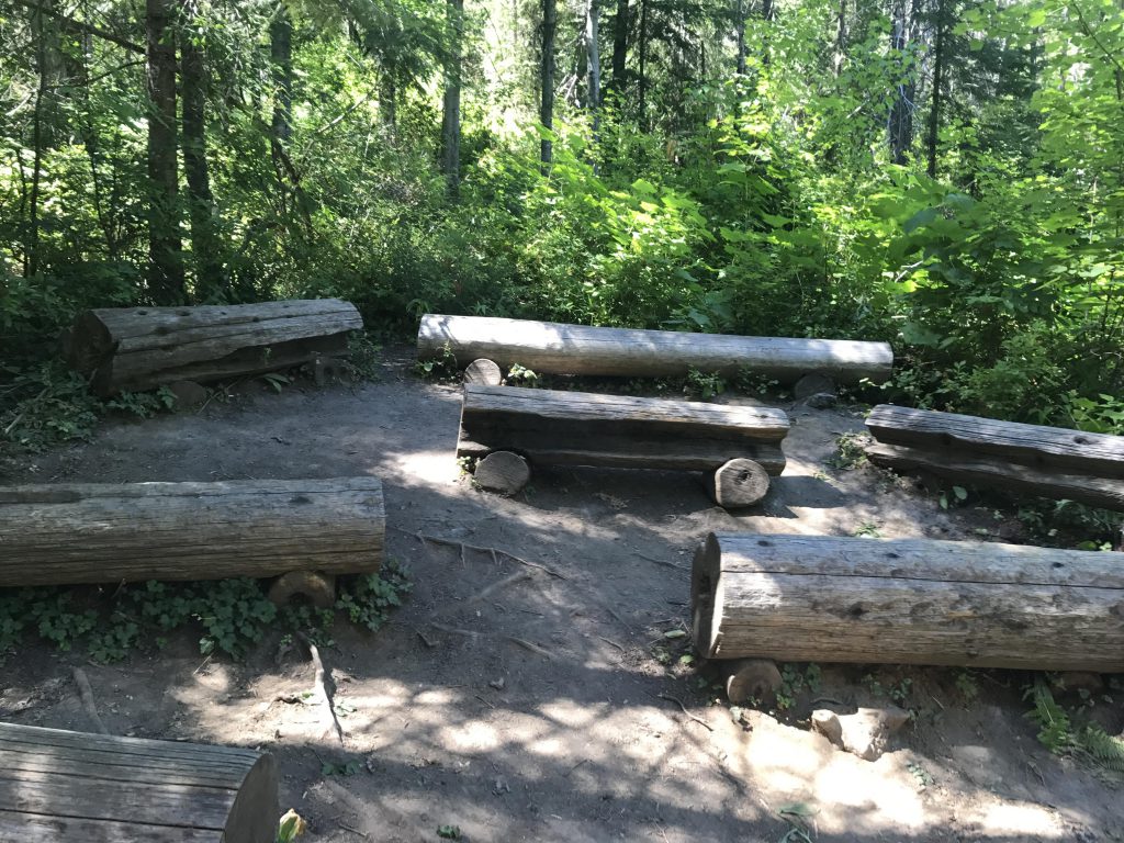
Commemorative Sign at trailheadWest Fork Placer CreekThere are numerous interpretive signs along the trailA number of bridges keep your feet dryMining remnantsThe trail is a nice wide single-track throughoutDevil’s Club. Nasty stuffViews are limitedThe trail closely follows West Fork Placer CreekThe “blower” is the pipe behind the signA still-standing cedar snag, burnt in the 1910 fireYou’ll find frequent strategically-placed benches along the trailEntrants to the aditWhat the mine entrance looked like immediately after the calamityWhat the mine entrance looks like todayThe “burnt” timbers were recreated in 2010Seating near the overlook of the Pulaski tunnel
I love these photos. When I was a kid growing up here in the 40’s and 50’s, my Dad pointed our many of the scenes of that great burn and explained those events to me. I have never forgotten. I also always have a Pulaski in my truck box along with a shovel.
most of the stuff that we see today is from immediate aftermath of the fire, with all the lookout tower rubble and miles and miles of telephone wire in the woods… They did a really good job, though, with that trail. It was quite busy, too.

History, hand tools, and hiking: a wonderful combination any day. Appreciated the article, I’ll have to try to walk it next time I’m in the area.
There’s probably snow in a month or so but it would make for an excellent snowshoe trek
I love these photos. When I was a kid growing up here in the 40’s and 50’s, my Dad pointed our many of the scenes of that great burn and explained those events to me. I have never forgotten. I also always have a Pulaski in my truck box along with a shovel.
most of the stuff that we see today is from immediate aftermath of the fire, with all the lookout tower rubble and miles and miles of telephone wire in the woods… They did a really good job, though, with that trail. It was quite busy, too.