- St. Joe Mountains
- Trailhead offers dispersed car camping and pit toilets
- There are many suitable spots on the ridge, but all are dry
- More car camping sites are along FR-1907 (Dam Ridge)
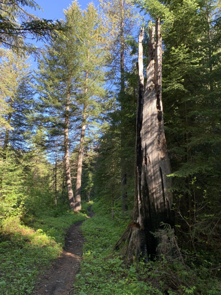
- Mostly good. You’ll find a fair number of fallen logs on #8 and #158. The lower portion of #8 was brushy. The Foolhen trail (#158) is very steep and there was a fair bit of snow near the fork to Mastodon, even in June. According to the Forest Service, the trail was last maintained in 2017.
The first consideration is whether to do this loop clockwise or counterclockwise. We did it counterclockwise because that way the second fording of Slate Creek is just a few hundred yards from trail’s end, meaning no need to take off shoes and socks. There is a second reason, however, which we did not know, and that is that the Foolhen trail is very steep with only few switchbacks.
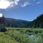
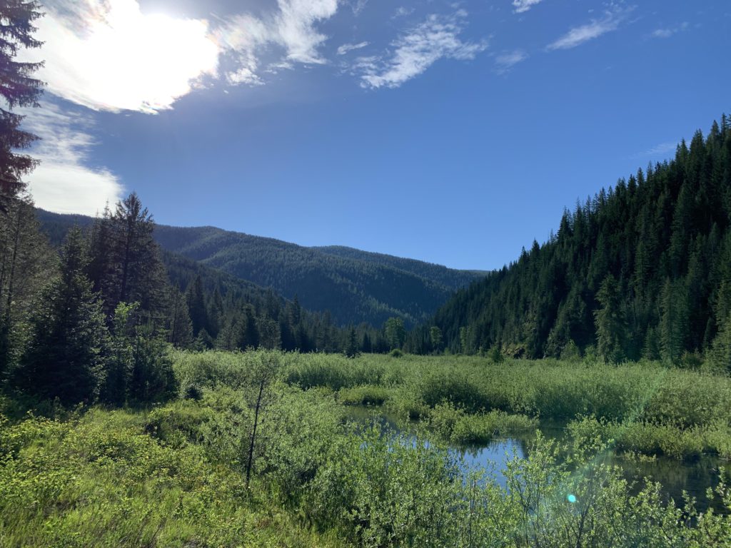
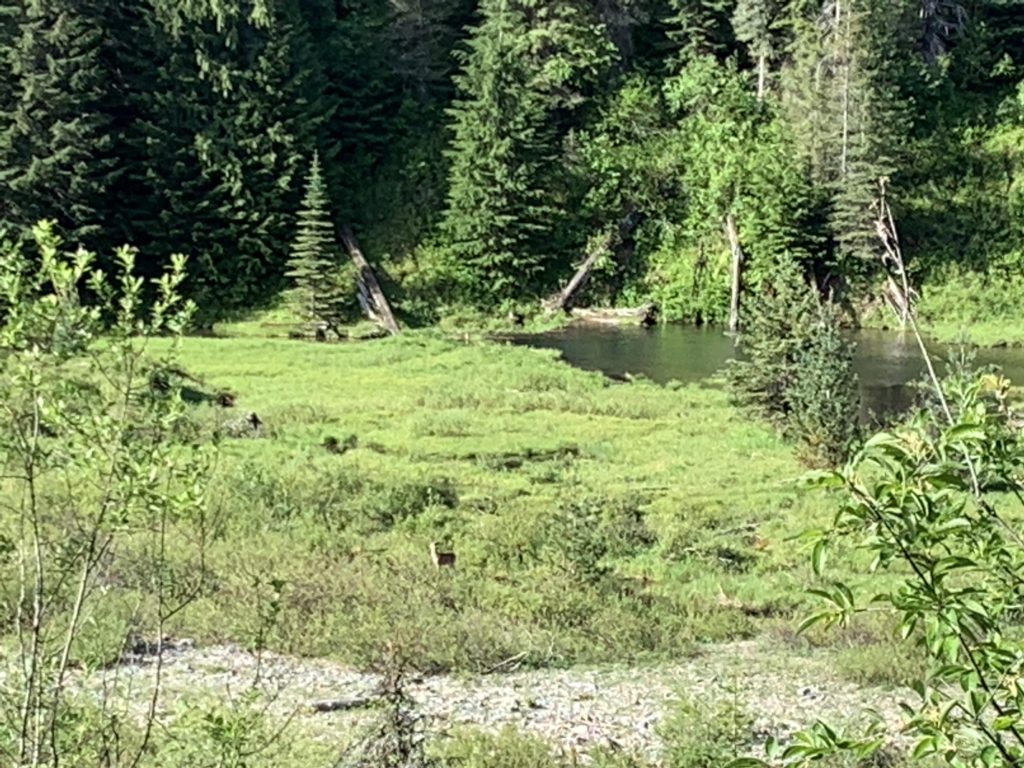
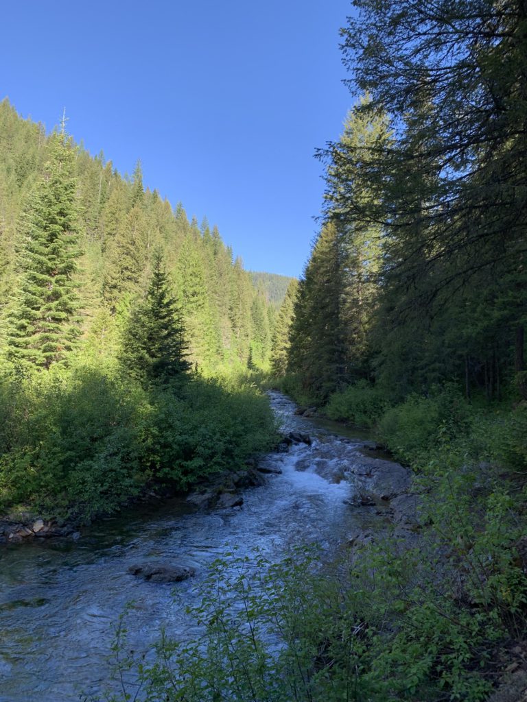
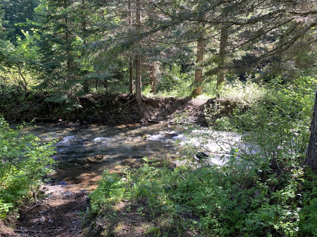
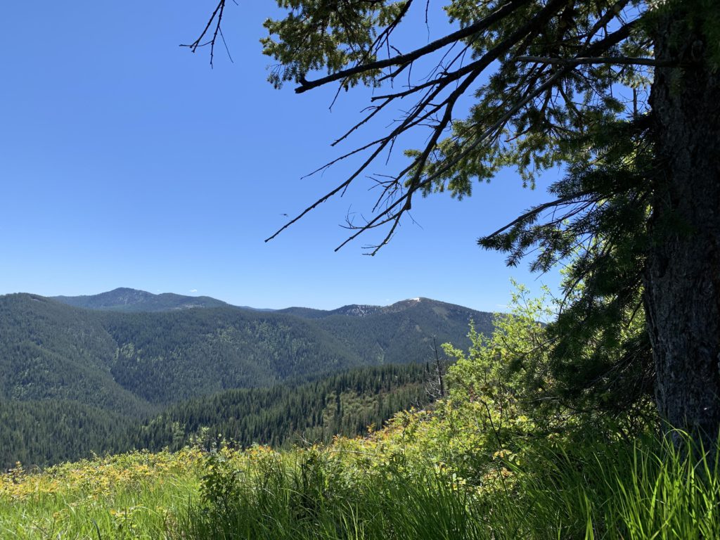
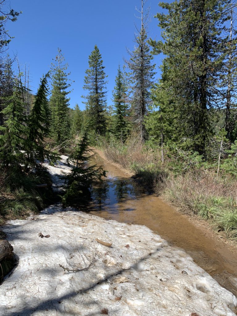
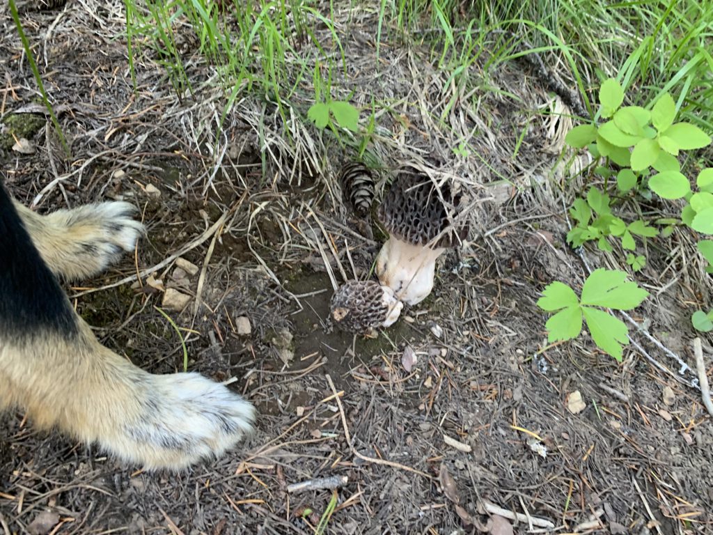
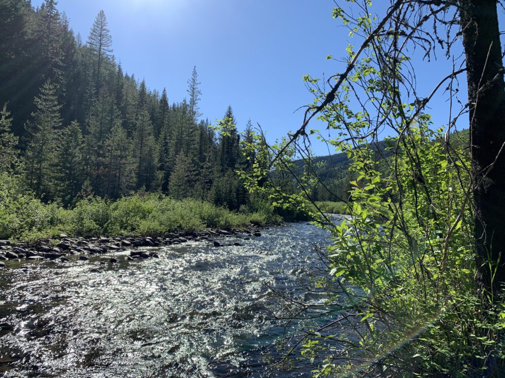
Thus, if you parked at the Foolhen trailhead, as we did, follow FR-225 along Slate Creek through the dispersed camping area to the road’s end. You will see little of the creek and much of the “meadows”, which is a broad expanse of brush much beloved by elk and beaver. At the cul-de-suc, the Bad Tom trail (#164) heads uphill to your right, while our trail (#160), now a singletrack, continues straight. Hiking is pleasant for the next 3 miles, with little elevation gain and nearly constant views across the meadow (we spotted a white-tail deer and a moose). The creek, sliding across smooth slate rock that must have given it its name, is a frequent companion. Just over 2 miles in is a crossing to Flume Creek, if you want to go that way–we continued on for another mile to the Dam Creek fording, which can be easy to miss as the signpost collapsed. With the snow-melt over, crossing was a cinch, but did require the removal of shoes and socks. Continue for perhaps a hundred yards on what is now trail #10 to the crossing of Dam Creek. If you want to hike up that creek (the continuation of trail #10), then go ahead and cross the creek; otherwise, do as we did and take the narrow trail uphill just ahead of the crossing. It looks more like a game trail, but just a short way up is a marker declaring that Dam Ridge is 4 miles away on trail #8. Beware that Dam Creek is the last reliable water source until you meet up with Slate Creek at the end of the hike.
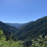
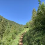
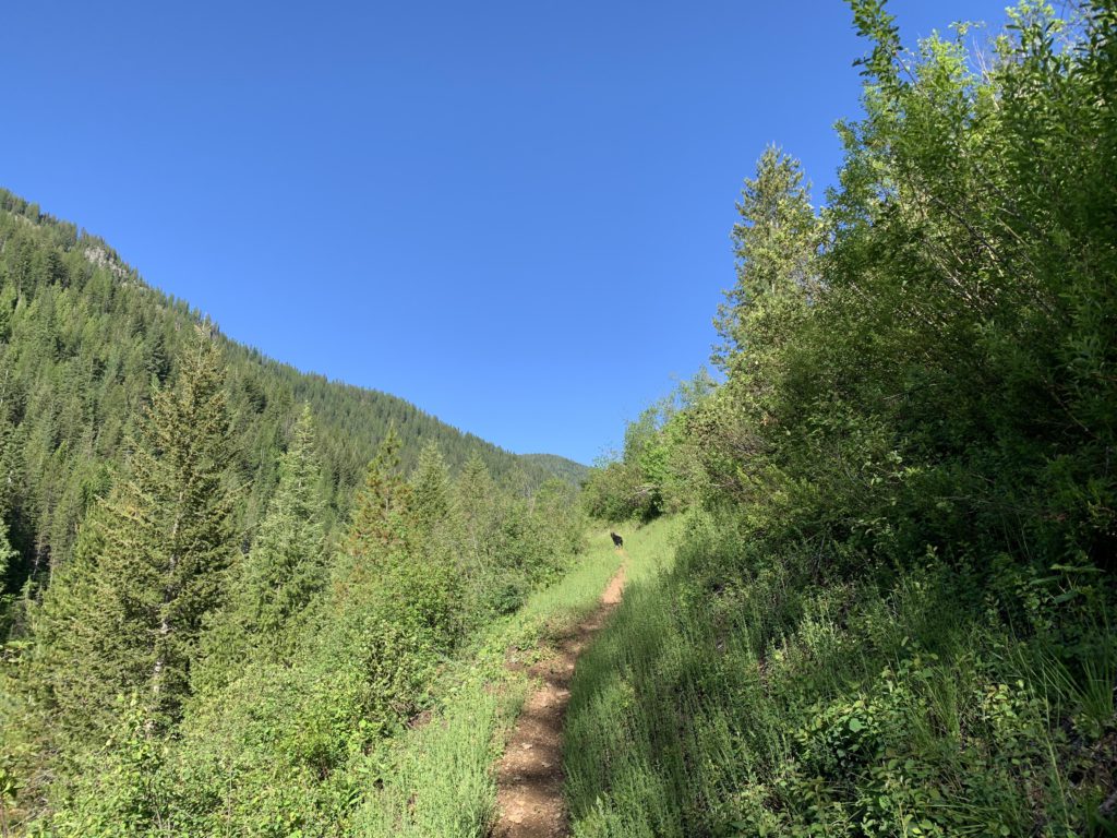
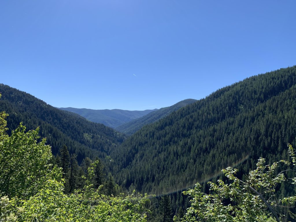
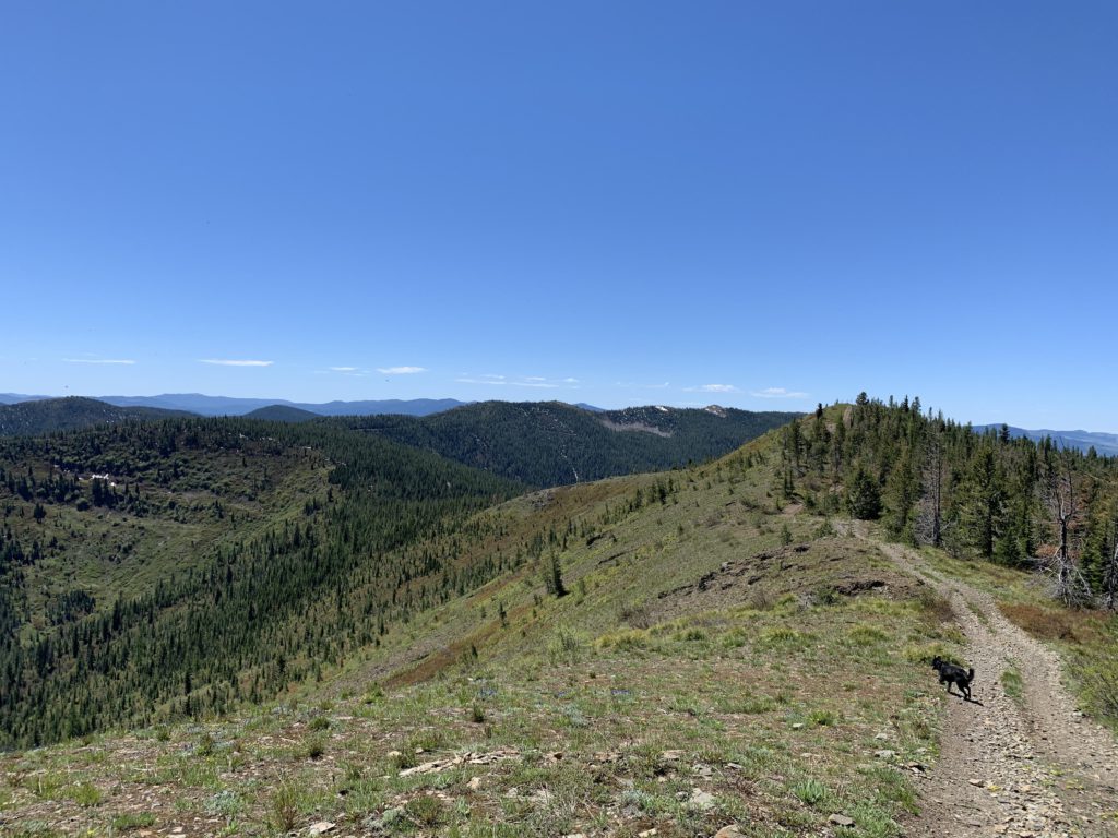
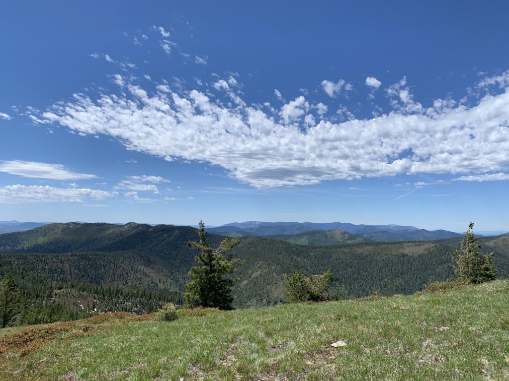
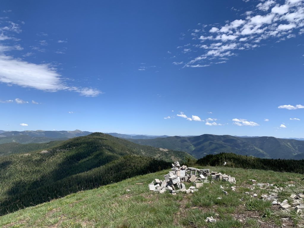
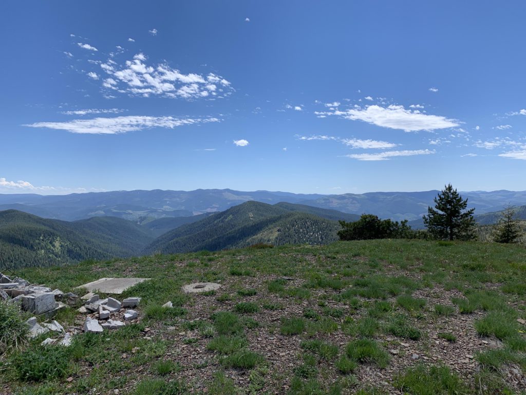
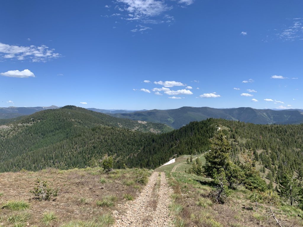
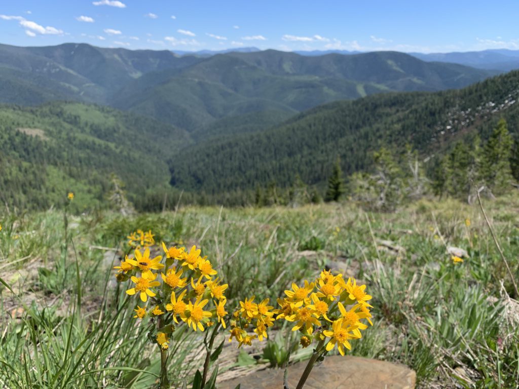
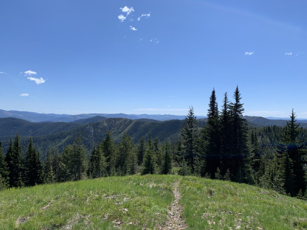
The lower part of trail #8 is quite brushy and you’re unlikely to encounter motorized traffic. It switchbacks uphill along the side of dam ridge for about a mile, gaining 1000 feet. The climb is not yet over, but the trail then diligently follows the spine of the ridge, adding another 700 feet in half a mile. The ridge then flattens out and views into the Slate Creek drainage start to open up. Soon you’ll come upon the remains of an old lookout tower, which is not located on the highest point of Dam Ridge. Views become even better as the trees retreat, particularly to the southeastern side where you can spot Foolhen and Mastadon. At the 8-mile mark you’ll reach the highest point on Dam Ridge and fabulous 360-degree views into the St. Joe Mountains and beyond.
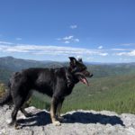
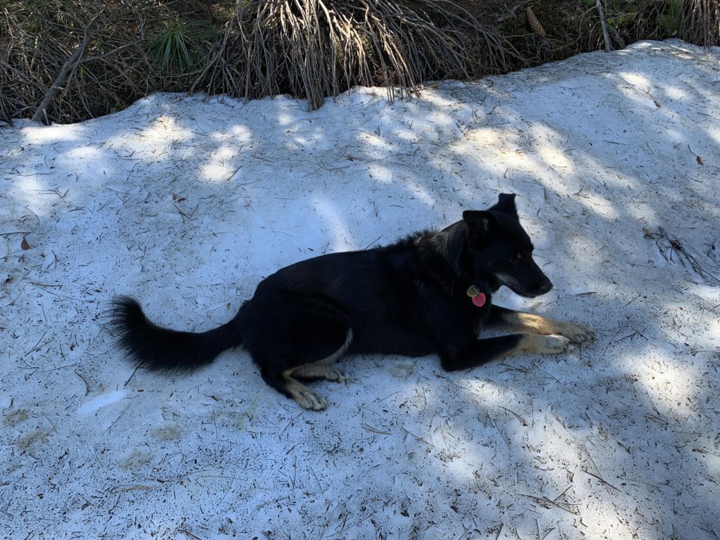
On the southwestern side of that unnamed peak, we chose a cross-country shortcut, with the official tail–a twintrack at this point–running out to a saddle between Cemetery and Dam Ridges. The shortcut landed us on FR-1907 near the origins of East Fork Big Creek (8.5-mile-mark), where we hoped to fill our water bottles. Alas, the creek was bone dry, with the only other options a few patches of snow, which Naughty enjoyed immensely. A 1.5-mile road walk then ensues to connect to trail #165. The road offers phenomenal views into the Big Creek drainage, which was severely burnt in the 1910 fire and still hasn’t recovered, its hillsides covered in brush much liked by elk.
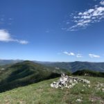
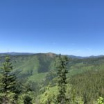
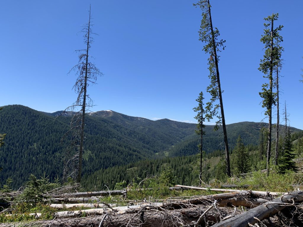
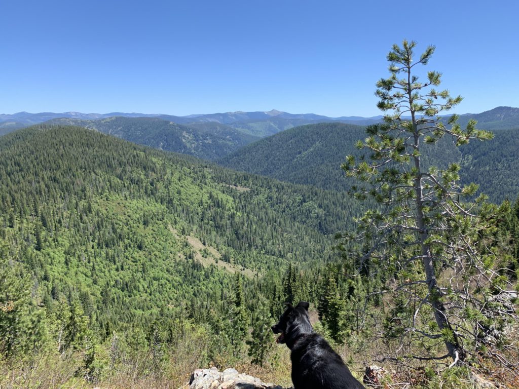
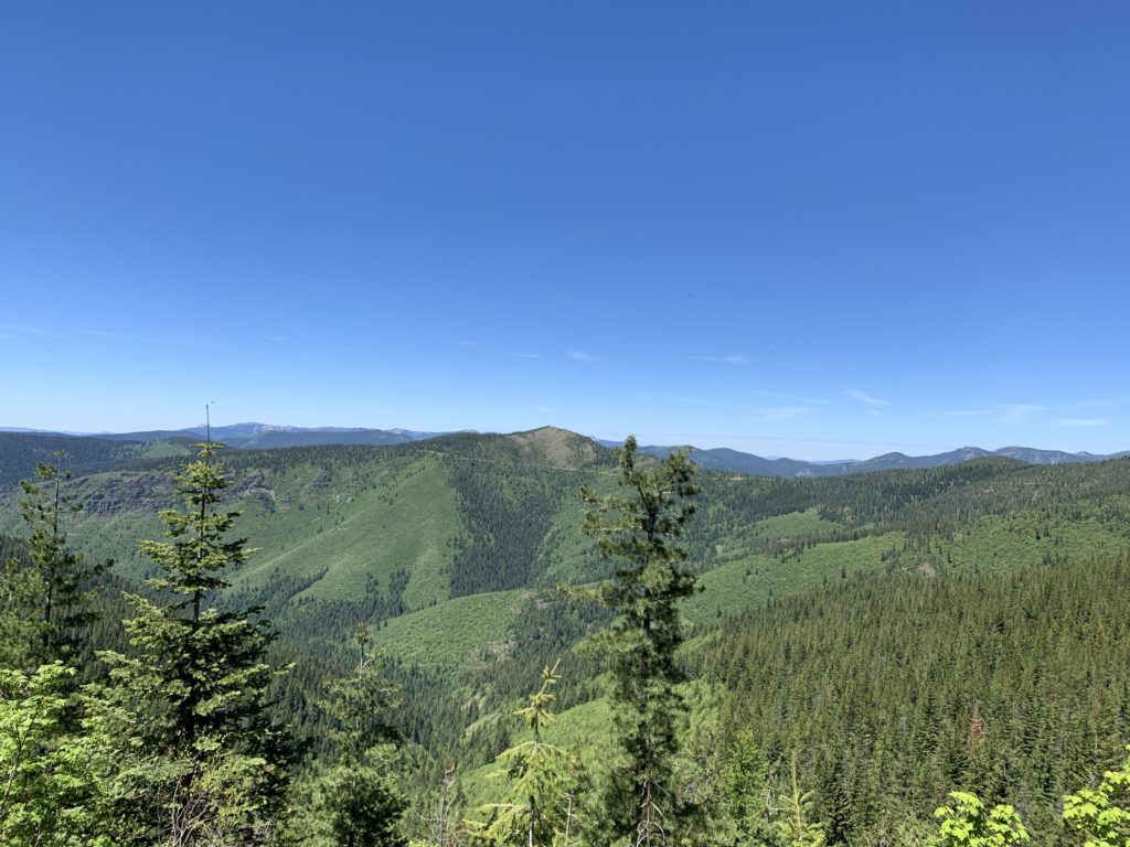
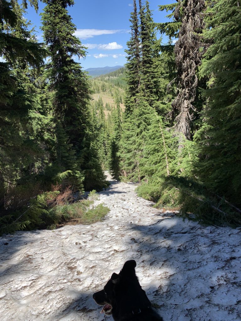
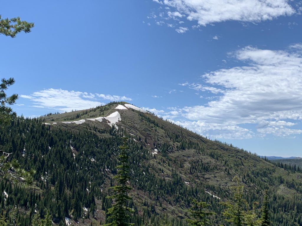
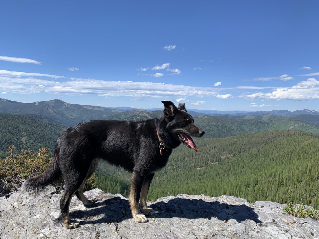
At the 10-mile mark is the fork with #165 (also sometimes referred to as #226), which is a fairly wide twintrack that meanders for 3 relatively level miles eastwards around an unnamed peak to Mastodon Mountain. Not far in the trail is joined by the one coming up from Dam Creek, #10, (bear right) and another trail branches off to the south to Prince Peak much later; bear left. The last bit to Mastodon Mountain, after the trail joins up with the path coming up from Flume Creek (#304), is steep and rocky. Mastodon, otherwise bald, is littered with the ugly remains of an old lookout tower and otherwise faultless views. It is particularly nice to see the areas already traversed–Slate Creek and Dam Ridge. On the north side, the mountain featured significant snow patches, even in June, making the peak prominently visible from a distance (the peak is at 5,900 feet of elevation).
The return to the trailhead leads across Foolhen Mountain, which is the higher of the two. This requires sliding down the northeastern flank of Mastodon, which was buried in 2-3 feet of snow. Thereafter the trail follows the spine of a ridge between Mastodon and Foolhen and rises back up to 5,700 feet, all the while showing off the forested flanks of the Flume Creek drainage. Just ahead of Foolhen is a sheer dropoff to the north with grand views and a picturesque pond far below, likely dry later in the year. Foolhen, at the 16-mile mark, is just below 6,000 feet and offers some views, but does not come close to Mastodon’s.
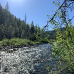
The descent from Foolhen is steep and brushy in places. It is closed to motorized use. The trail heads due north at first, then takes a sharp turn to the east, all the while riding the spine of a ridge of Foolhen’s up to the 18-mile mark. Here, the trail once again turns northwards and drops through cedar forest to Slate Creek. The fording is fairly easy after the snow melt is over. The trailhead is only a few hundred yards away, but it is a swampy stretch that might get your feet wetter than Slate Creek did.
Alternate Routes
- For a shorter loop, connect via trail 304 (Flume Creek) or 10 (Dam Creek) to Mastodon. This will also greatly improve the water availability as the time on the ridge is cut short
- Spur trails lead to Slate Peak (165), Prince Peak (226/159), and Bad Tom Mountain (164)
- At the head of Dam Ridge, you can connect to the Big Creek trail system (#56) or the Divide Trail (#16)
- Trail #160 continues up Elbow Creek and eventually climbs to the Divide Trail
Things to Consider
- The trails are shared with dirtbikes
- There is preciously little water up on the ridges
- Creek crossings may be difficult during snow melt (they were easy in June)
- The trail numbering is somewhat confusing. The motor vehicle use map refers to what is signed as trail #8 (Dam Ridge) as #573 and #226 (Dam Divide) is also referred to as #159 respectively 165
Not so great
The Mastodon Mountain loop makes for a great early summer hike, when higher elevations are still snow-covered. The highlights are the beautiful walk through Slate Meadows and along Slate Creek as well as the grandiose views from Mastodon Mountain. The lowlight is the utter lack of water on the ridges: make sure you carry plenty!