Deep Creek Canyon Loop

The Deep Creek Canyon loop trail winds around the northern section of Riverside State Park without actually crossing Deep Creek. Open Ponderosa forests, fields of wildflowers, sweeping views from the edge of basalt cliffs, and the cooling waters of Deep Creek are just some of the highlights of this loop. The return leads through a moonscape of basalt talus and sky-piercing spires and along the smooth flow of the Spokane River.
Location
  • Channeled Scablands
Rating
3.1 out of 5
Difficulty
Moderate (some uphill hiking)
Distance
5.8 miles
Duration
2:07 hours moving time (Hiking)
Elevation Gain
881 feet
High Point
2,207 feet (pine bluffs)
Low Point
1,608 feet (Spokane River)
Features
  • Riverwalk
  • Outing Type
  • Daytrip
  • Trail Type
  • Loop
  • Trailbed
    Packed dirt, loose rocks, old logging roads
    Trail#
    25
    Water
  • Deep Creek and Spokane River, but recommend against taking water from those sources due to agricultural and industrial run-off
  • Camping
    • There is a campground in the Nine-Mile-Falls area
    Conditions
    • Excellent
    Administration
  • Washington Parks and Recreation
  • Status
  • State Park
  • Maps
    USGS
  • Spokane NW
  • Fees & Permits
  • Fee required
  • (Discover Pass)
    Open To
  • Hikers
  • Dogs
  • Horses
  • Mountain Bikers
  • (Dogs must be leashed)
    Directions
  • Take I-90 exit #280A (Maple Street) and turn right onto Walnut. Follow Walnut for about 2 miles, then turn left onto W Northwest Boulevard. After .7 miles turn right onto N Cochran Street, then take N Driscoll Boulevard after .1 mile. Continue on Driscoll until you get to the complicated intersection with WA-291; you want to end up going north on WA-291 for about 6 miles. Turn left onto Charles Road, crossing a bridge just below Nine Mile Falls. Shortly after the bridge take a left onto W Carlson Road. This is a narrow paved road. Follow it for half a mile; the trailhead is on the right where the pavement ends.
  • Season
    Year-around
    Resources
      Date
      June 3, 2017

      Back in March we tried to hike Trail 25 in Riverside State Park in its entirety, but were stopped by a torrent of water in Deep Creek. This loop hike completes the area north of Deep Creek and includes a short side trip to the Spokane River.

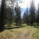
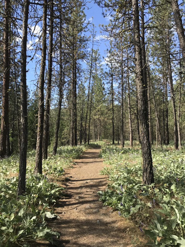
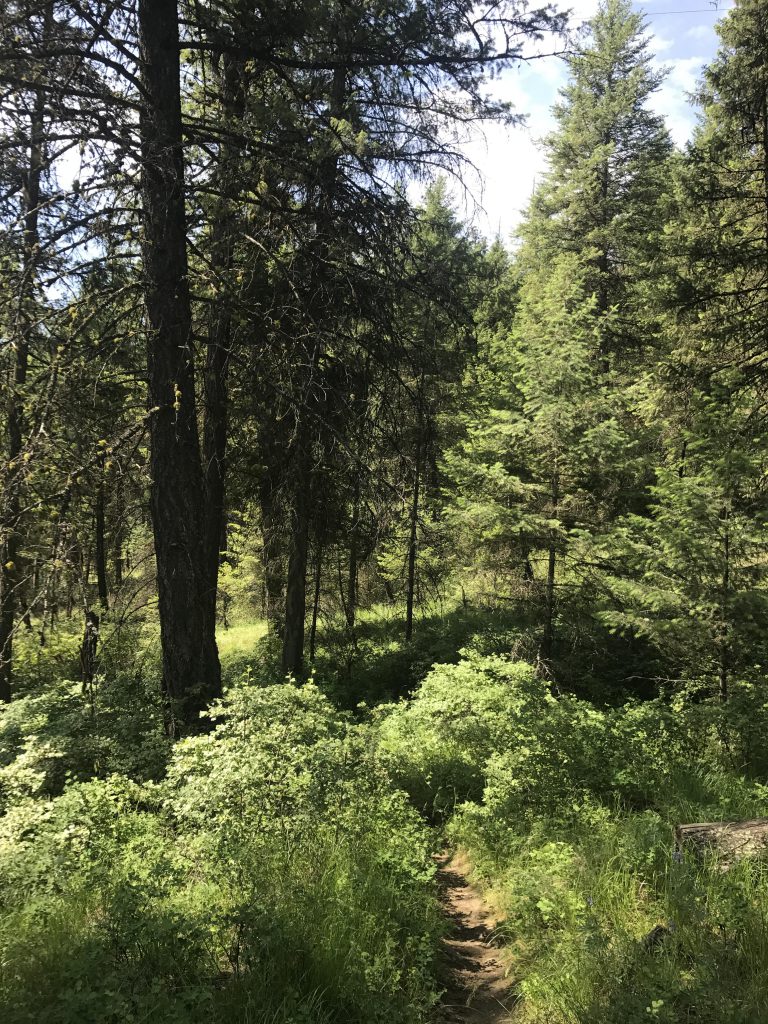
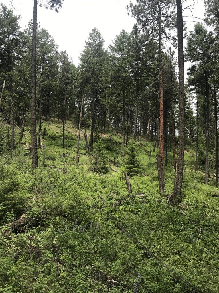
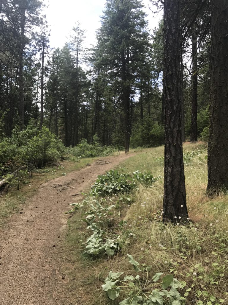
      At the trailhead you could actually take the single-track heading northwest into the woods, making sure to take the first left to get back to Carlson Road, crossing it, and heading north to rejoin with Trail 25. We chose instead to cross Carlson Road right away and took the wide trail #402 for a quarter mile uphill. The intersection with Trail 25 is unfortunately not marked; Trail #25 is a much narrower single-track (take a right). The path then heads back towards Carlson Road but veers sharply westwards just before reaching it. It continues to parallel Carlson Road up to around the 1-mile mark, then heads south through light Ponderosa forest, filled, it seemed, with mosquitoes. They weren’t horrible as long as one moved at a nice clip, but any pause meant swarms nosediving on us like squadrons of Spitfires. Luckily we brought Deet and Buffs.

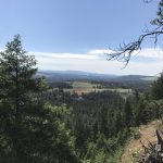
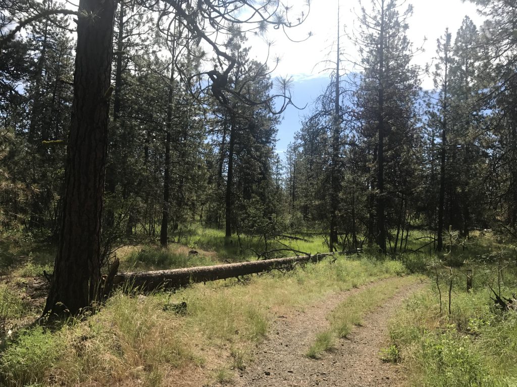
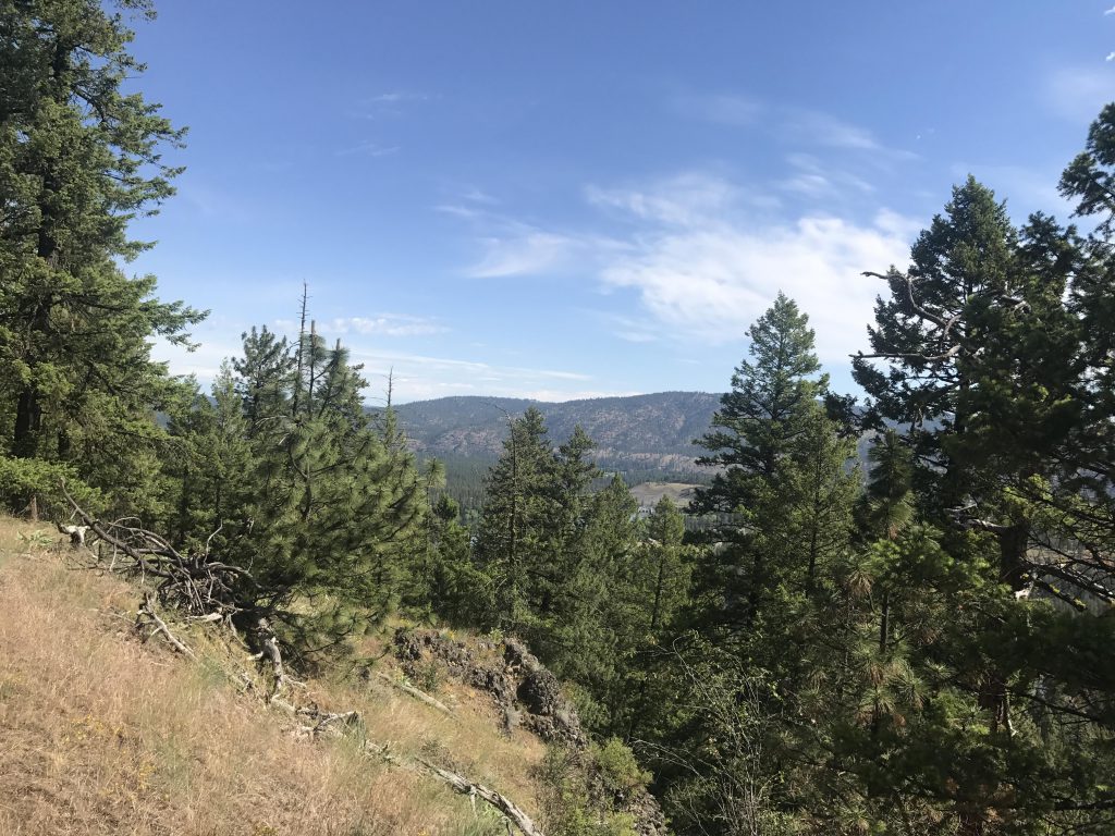
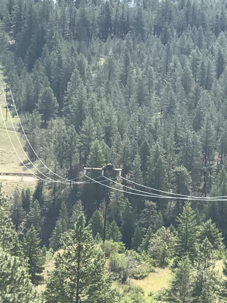
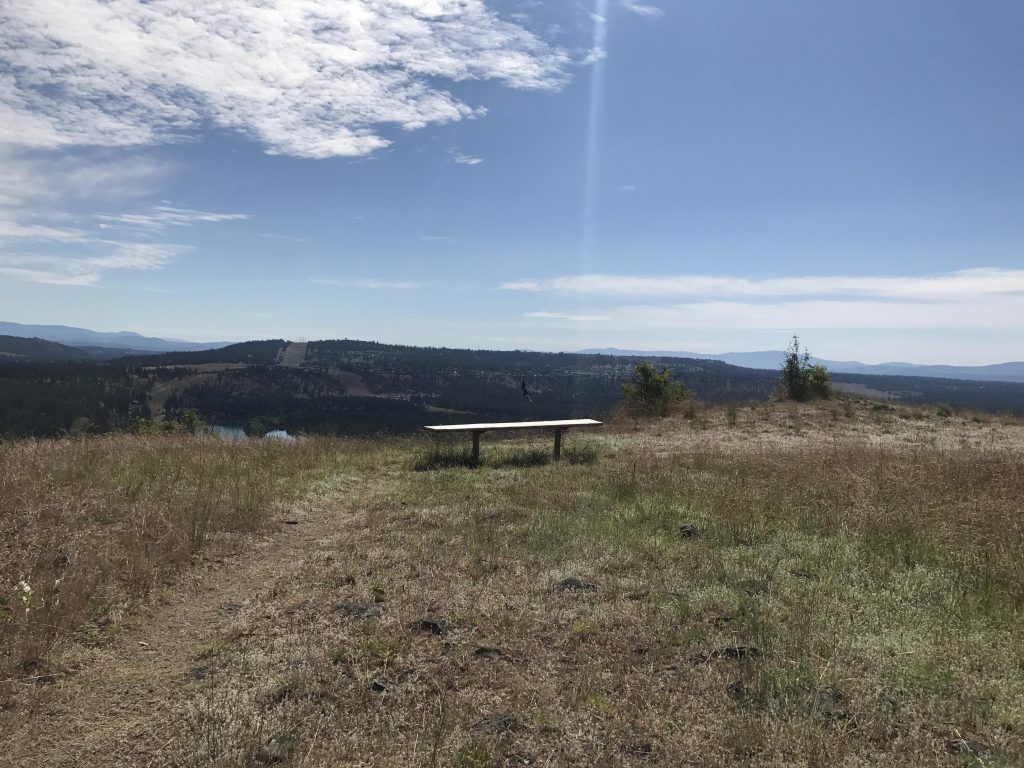
      Around the 2-mile mark the path turned left (this is marked, but watch out because Trail 25 is blocked by a fallen log) and leads you to the edge of the bluff with some amazing views. Venture out to the left a bit towards the powerlines for nice views, a bench and an osprey nest on a powerline pole below.

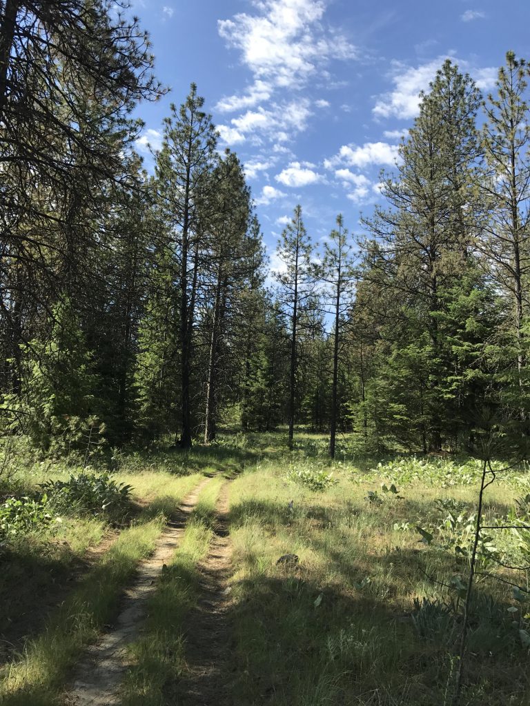
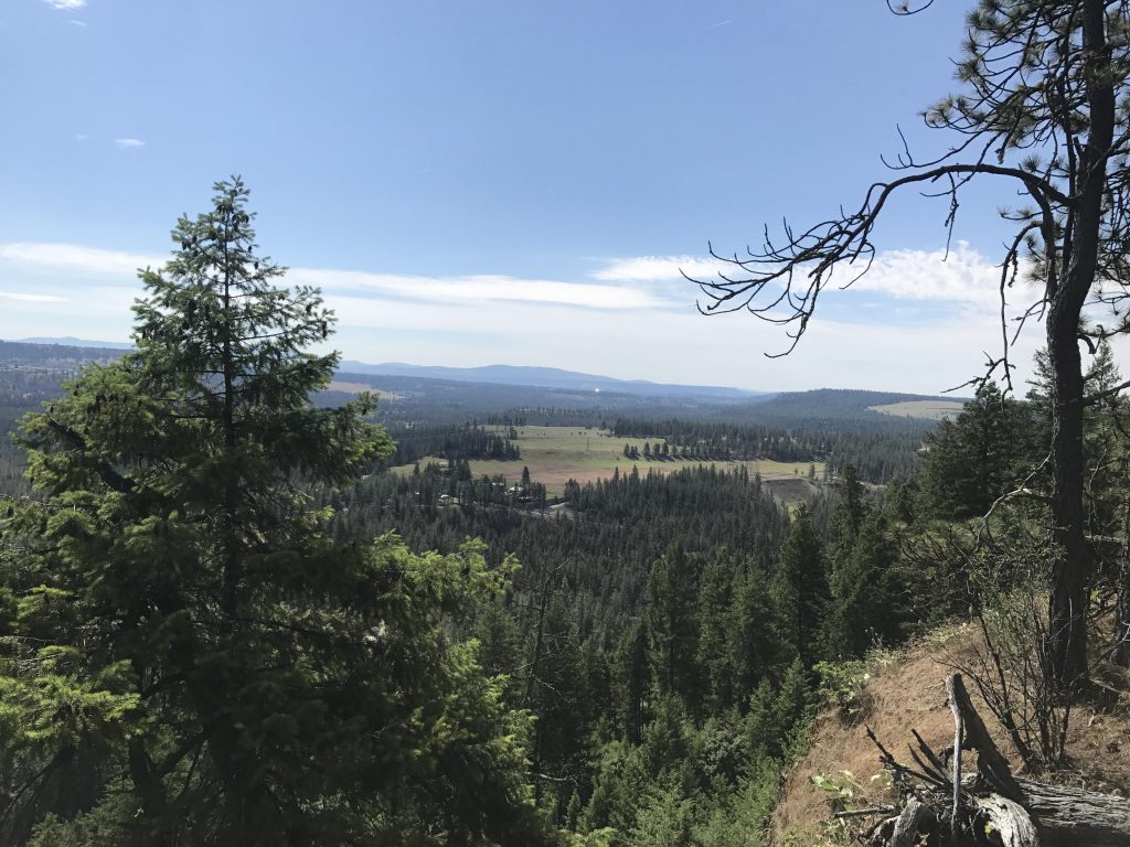
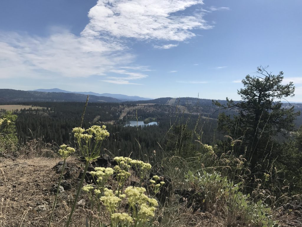
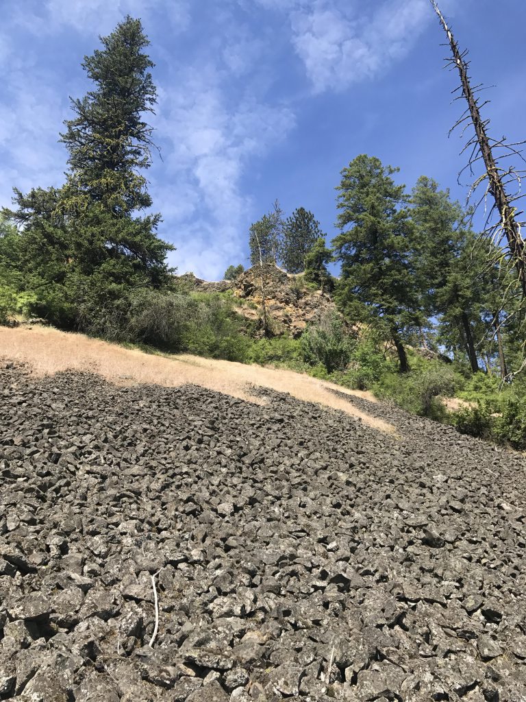
      The trail continues south along the bluff’s edge for a half mile and the views just get better. Then the trail descends, crossing basalt talus slopes, and heads into open forest. It switchbacks and reroutes northwards to another switchback. If you want to connect to the Riverside State Park Loop, take a right and follow #25 to West Pine Bluff Road, cross it and head eastwards to West Seven Mile Road. Cross that and continue to North Inland Road, which is the place where the Riverside State Park Loop trail guide left off.

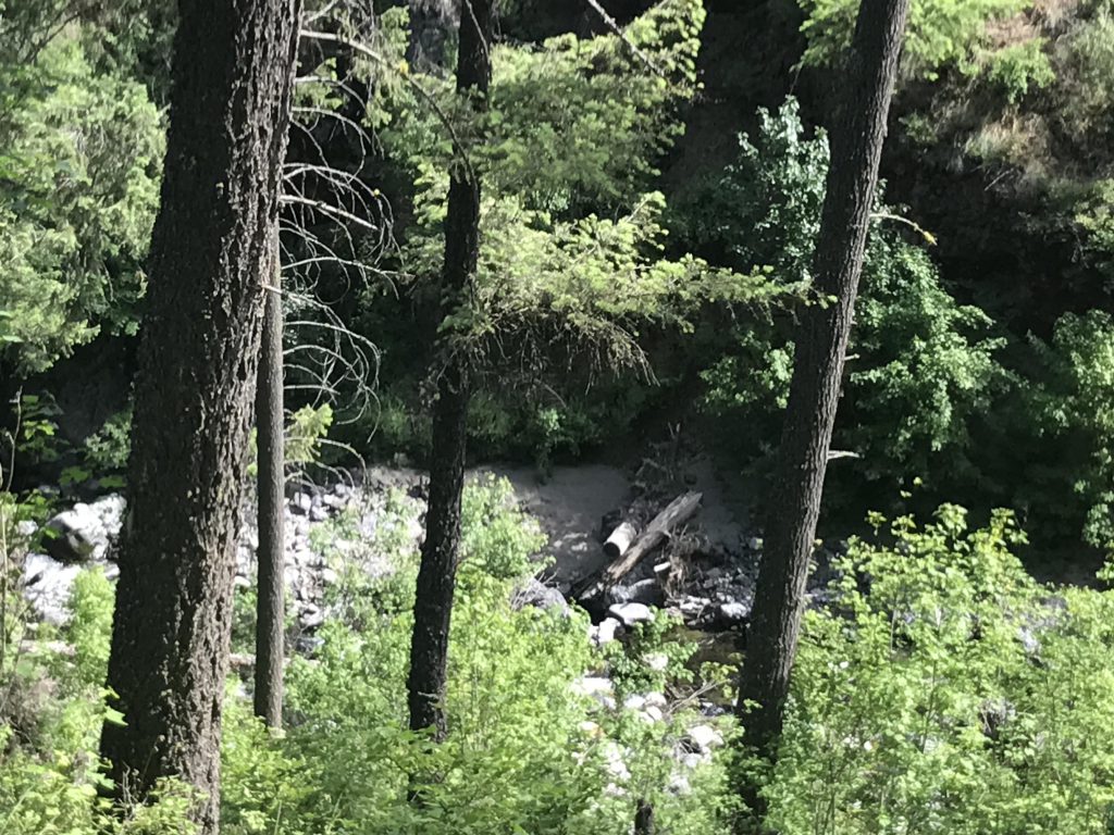
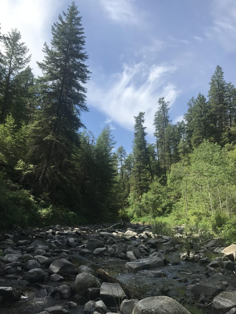
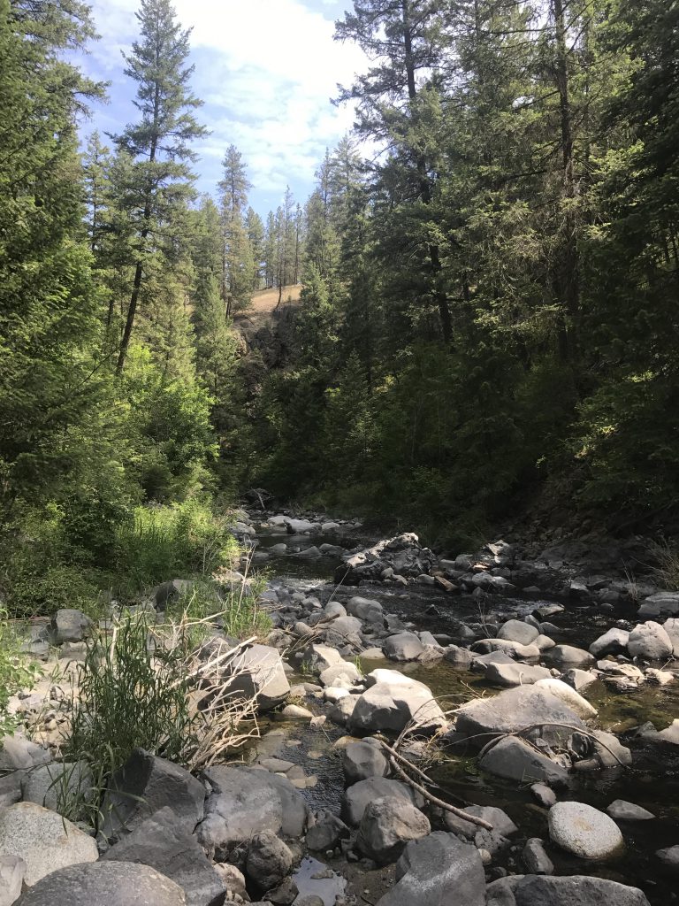
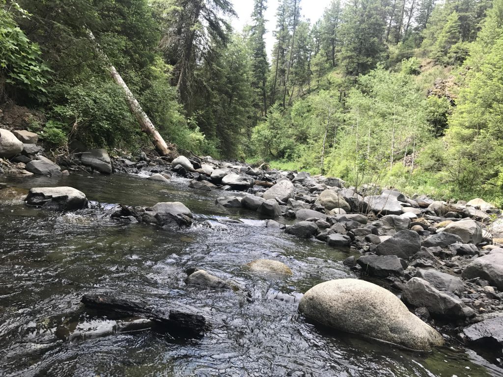
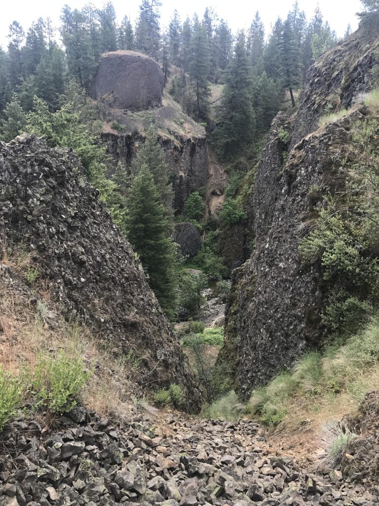
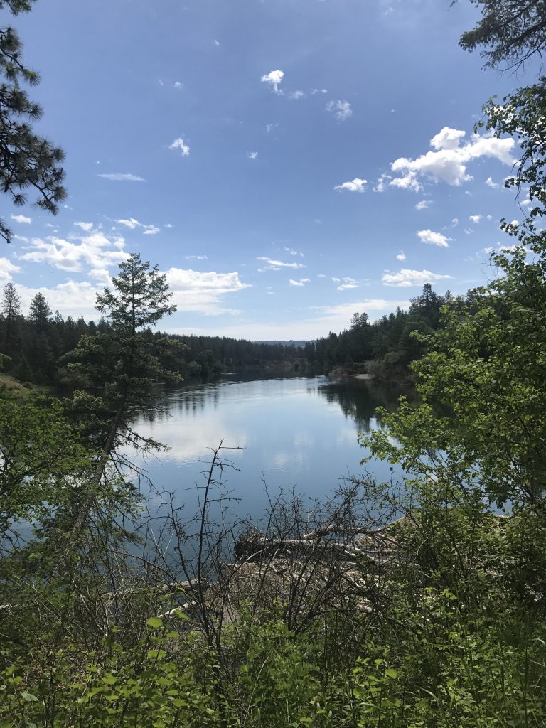
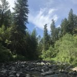
      Instead, we took the #410 connector trail, which leads lower through light Ponderosa forest and dead-ends after a few more switchbacks at the eastern section of Trail #25 (along #410, when in doubt, take a right). Take a right onto Trail #25, and follow it sharply lower through basalt rock formations to Deep Creek Canyon and continue until you reach the creek bottom. The picture here was entirely different from what we encountered in March. Gone is the torrid rage of the creek, replaced by a meandering brook that’s easily traversed by rock-hopping!

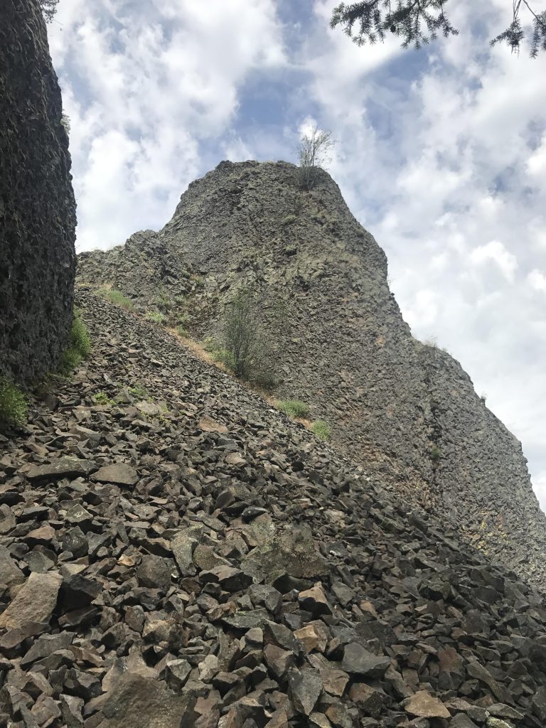
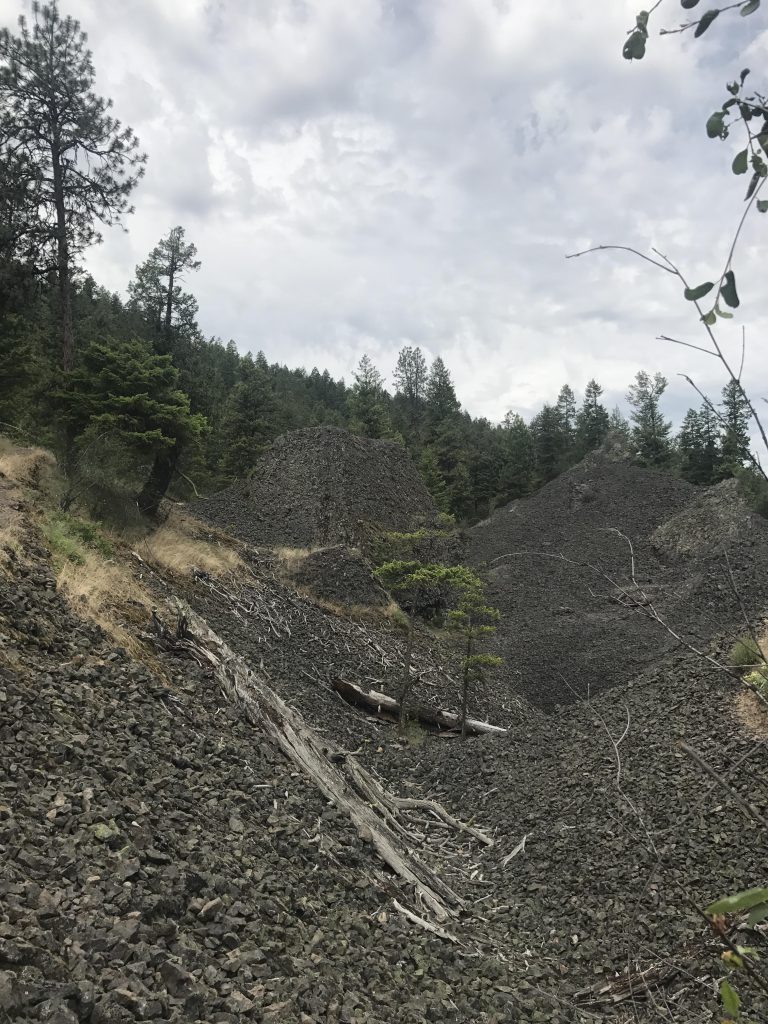
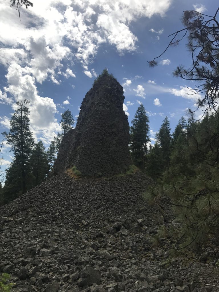
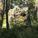
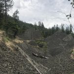
      Turn around and head back up Trail #25 to the fork with trail #411 at the 3.5-mile mark. This is an interesting section of trail, where you hike among tall spires and columns of basalt rock, through sweeping talus fields, and gape through narrow chasms into Deep Creek canyon. It reminded us of a moonscape!

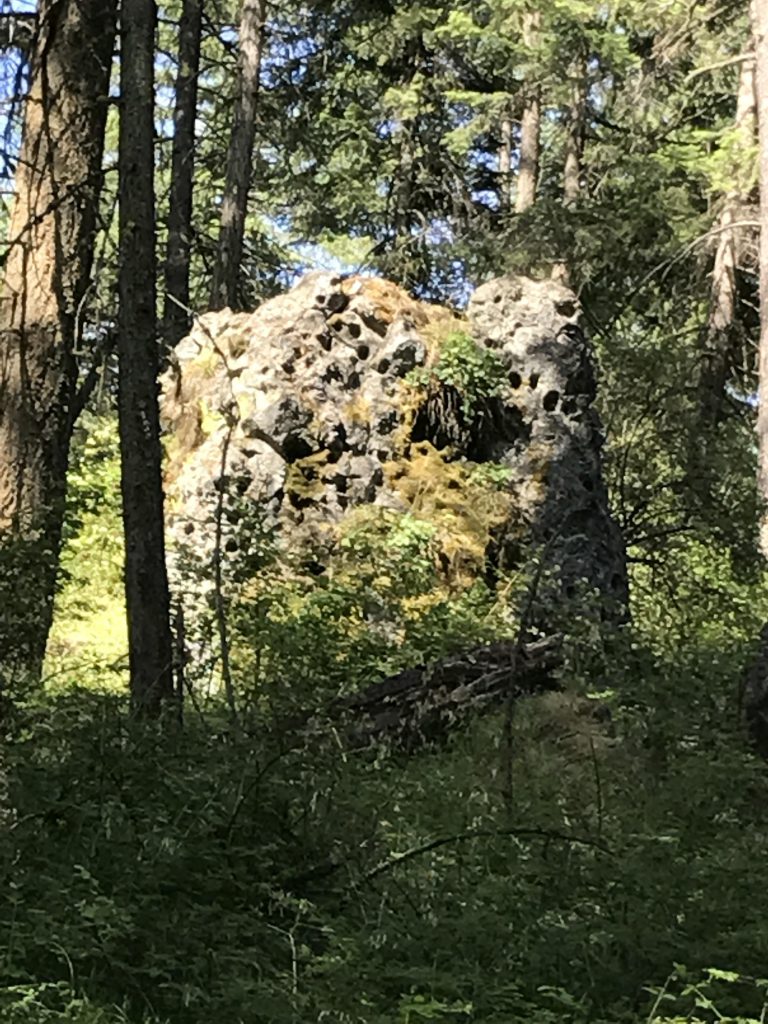
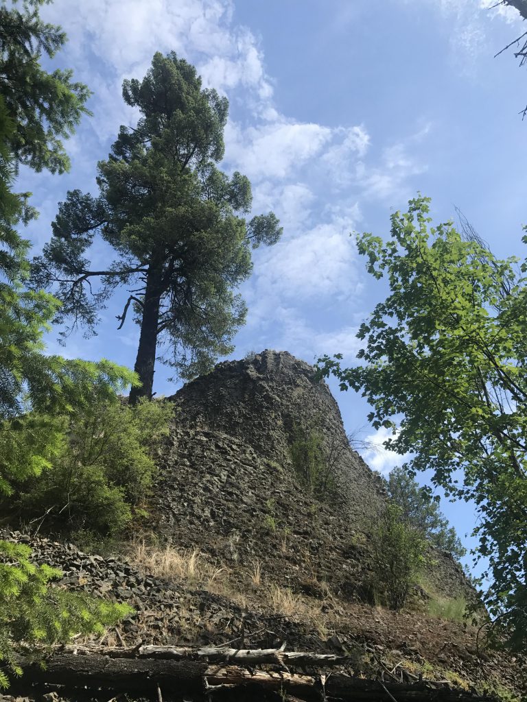
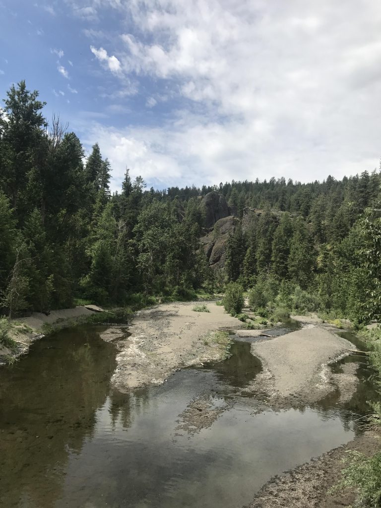
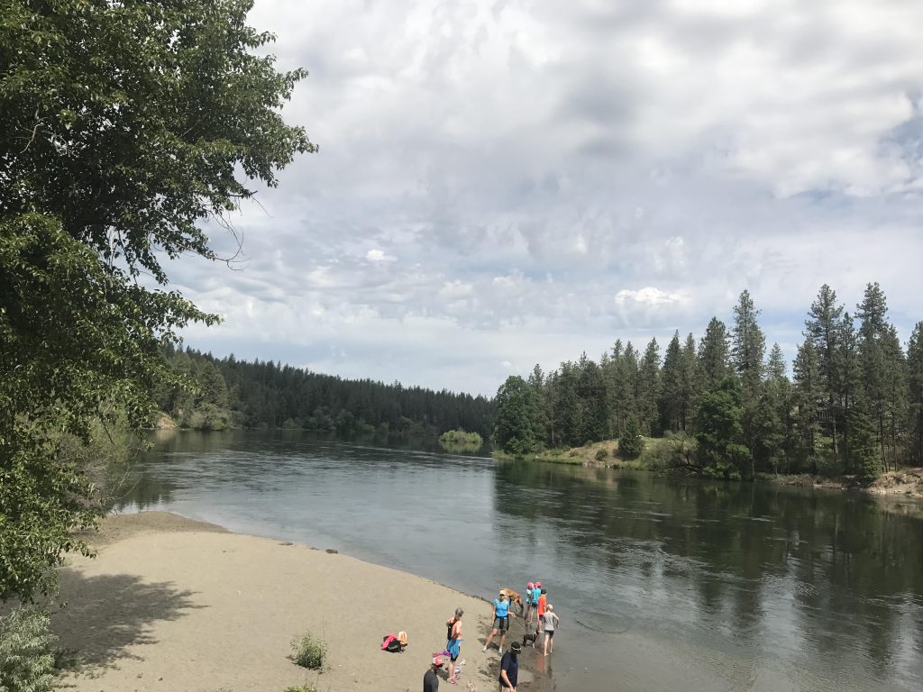
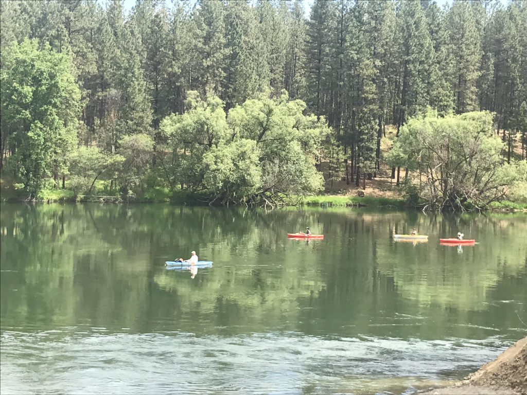
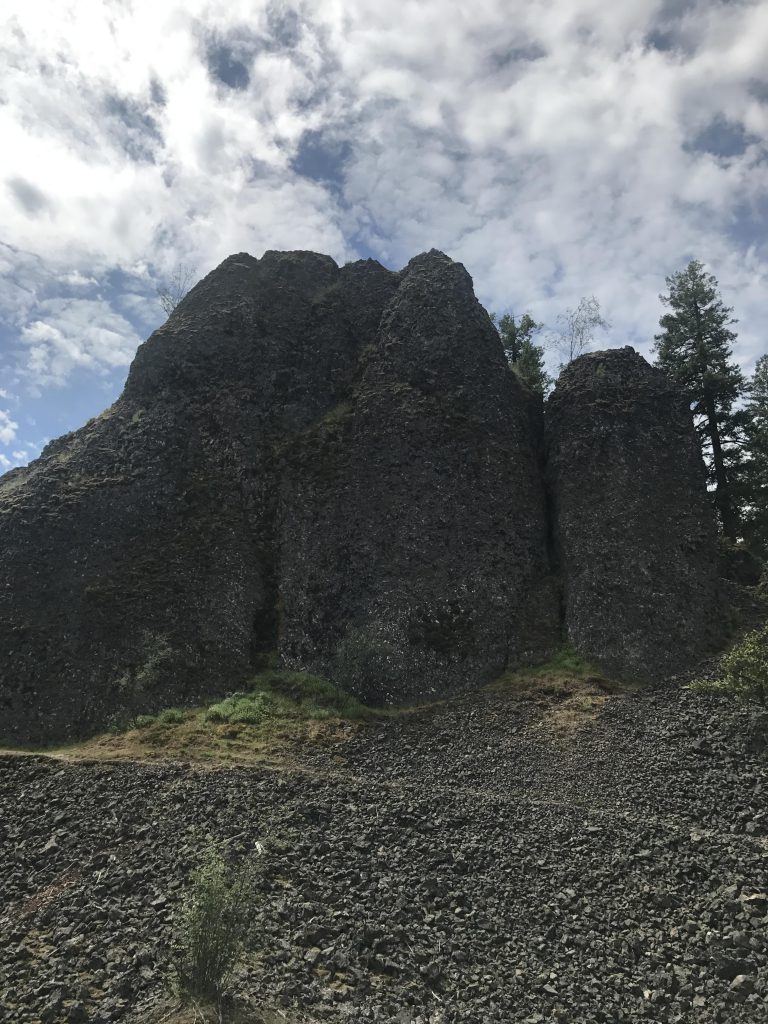
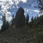
      Trail #411 ends at the paved Centennial Trail where Deep Creek merges into the Spokane River. Follow the river downstream for maybe a quarter-mile, then take trail #400, which leads uphill into the pine forest. Just before the 5-mile mark you will reach an exceedingly impressive lone basalt spire. Shortly afterwards trail #400 reunites with trail #25, which you will take northbound back to the trailhead.

      Alternate Routes

      • Connect to the Riverside State Park Loop trail #25 (see separate trail guide)

      Things to Consider

        Not so great

          Trail #402 is a wide single-track framed by arrowleaf balsam root
          The western section of trail #25 is a double-track leading through light pine forest. Watch out for mosquitoes
          There are lots of basalt boulders strewn along the way
          Watch out at this intersection near the 2-mile mark. Trail #25 crosses the log and veers away to the left
          The first nice views as you approach the edge of the basalt cliffs near the powerlines
          Ospreys nesting atop the powerline pole
          Arnica in full bloom. The arrowleaf balsamroot blooms are already over
          Naughty stunned by the view…
          …the view that stunned Naughty
          There are occasional benches along the edge of the bluffs
          View from southern end of bluffs
          Crossing a talus field while descending from the bluffs
          Thimbleberry blossom?
          Connector trail #410 leads through nicely shaded woods
          Basalt rock formations
          Deep Creek Canyon far below
          Deep Creek
          That really large boulder in the middle of the creek corresponds to the picture with a tree caught on the tip of rock in the Riverside State Park trail guide. It was essentially submerged, making crossing all but impossible
          Crossing Deep Creek is a rock hop, unless you go out of your way to get your paws wet
          Deep Creek
          A “moonscape” of spires,…
          … talus slopes, …
          …and chasms
          Deep Creek confluence with Spokane River
          Spokane River near the Deep Creek confluence
          Kayakers floating down the Spokane towards Nine Mile Falls
          Spokane River from the Centennial Trail
          Trail #400 uphill through open forest
          A mignificient spire on trail #400
          Trail #25 back to the trailhead is mostly single-track