- Coeur d’Alene Mountains
- There are established campsites at Independence Meadows, Green Meadows, Faset Peak (dry), and Snowbird Meadows
- Excellent, but make sure to bring your sandals.
A year ago we made an attempt on Faset Peak, starting from Weber Saddle and bushwhacking down to Upper Independence Creek Trail #3. Ultimately, this cost us too much time and we had to turn around before reaching the peak. Here is our second attempt, this time starting at the eastern trailhead, the confluence of Independence and Tepee Creeks.
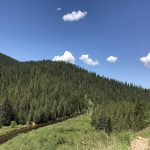
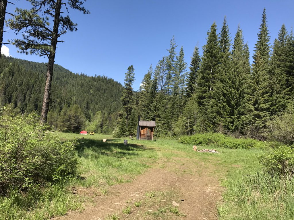
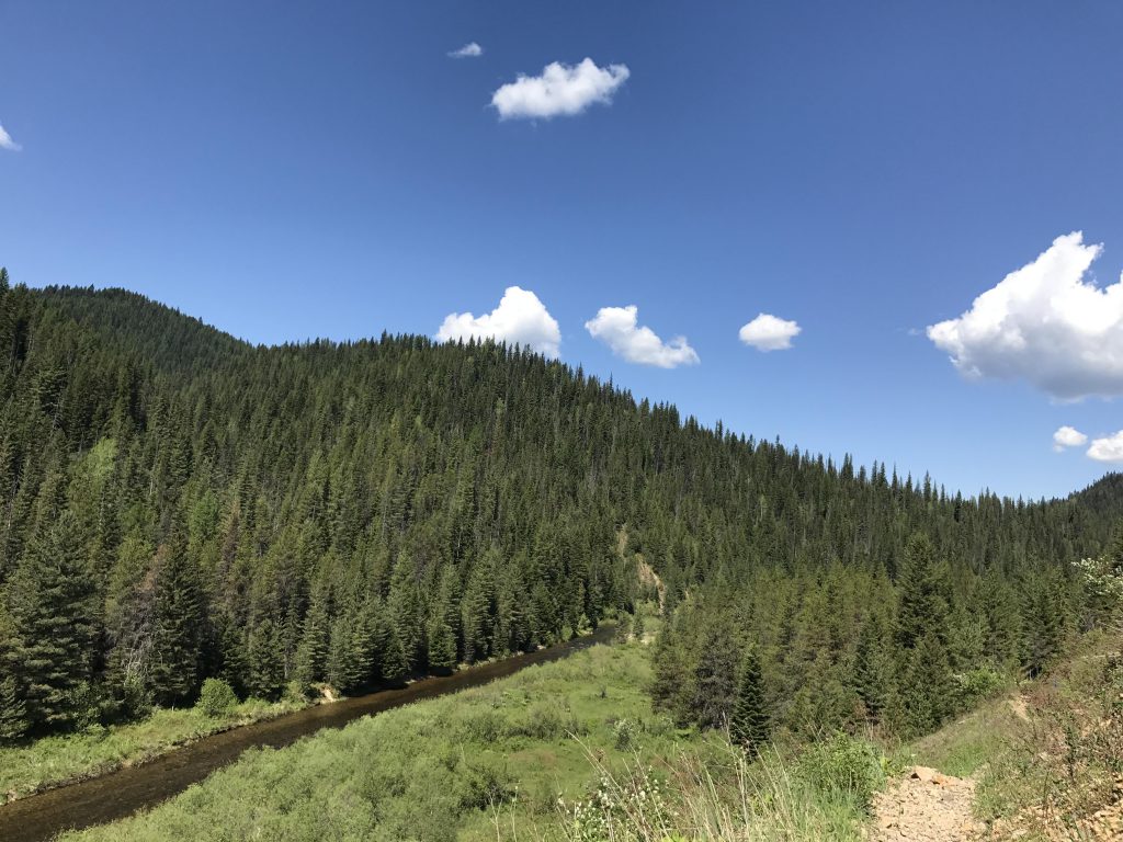
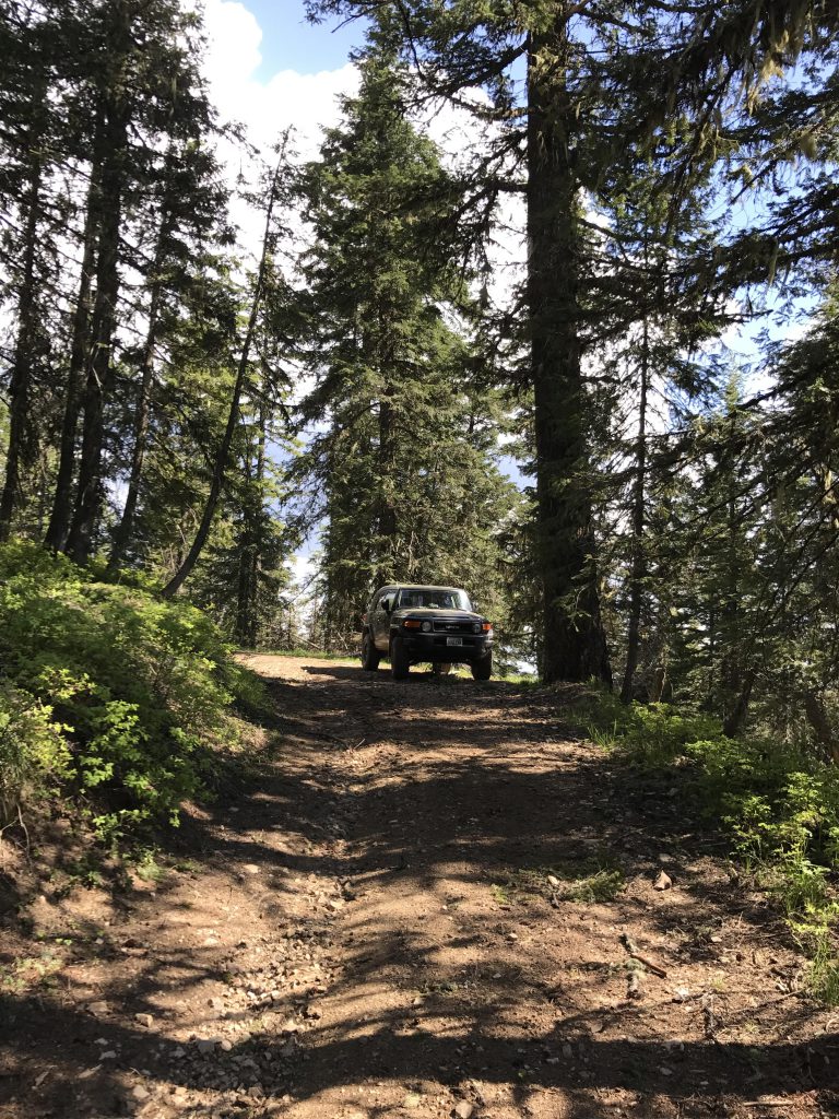
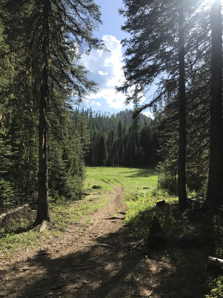
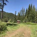
To get to the trailhead of trail #22 (Independence Creek National Recreation Trail) hike up FR 3099 for a few hundred yards (it is a scree-covered dirt road), then descend on road 925, a deeply rutted dirt road. In about three-quarters of a mile you will reach Independence Meadows Camp, a primitive backcountry campground featuring a vault toilet, plenty of parking, and a few firerings. It is popular with dirtbikers and ATVers, so brace for noise. Trail #22 actually veers off to the right just before reaching the camp and climbs a bit to cross a stubby knoll that pokes out into the Independence Meadows flood plain. On the other side of the knoll you’ll be treated to nice views of the creek as it squeezes through the pine-covered hills.
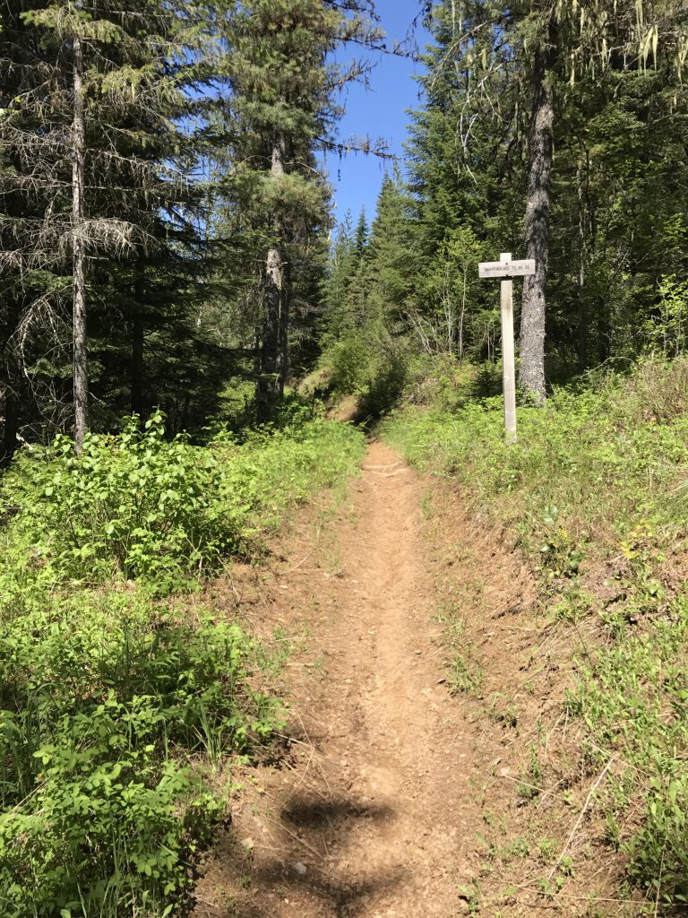
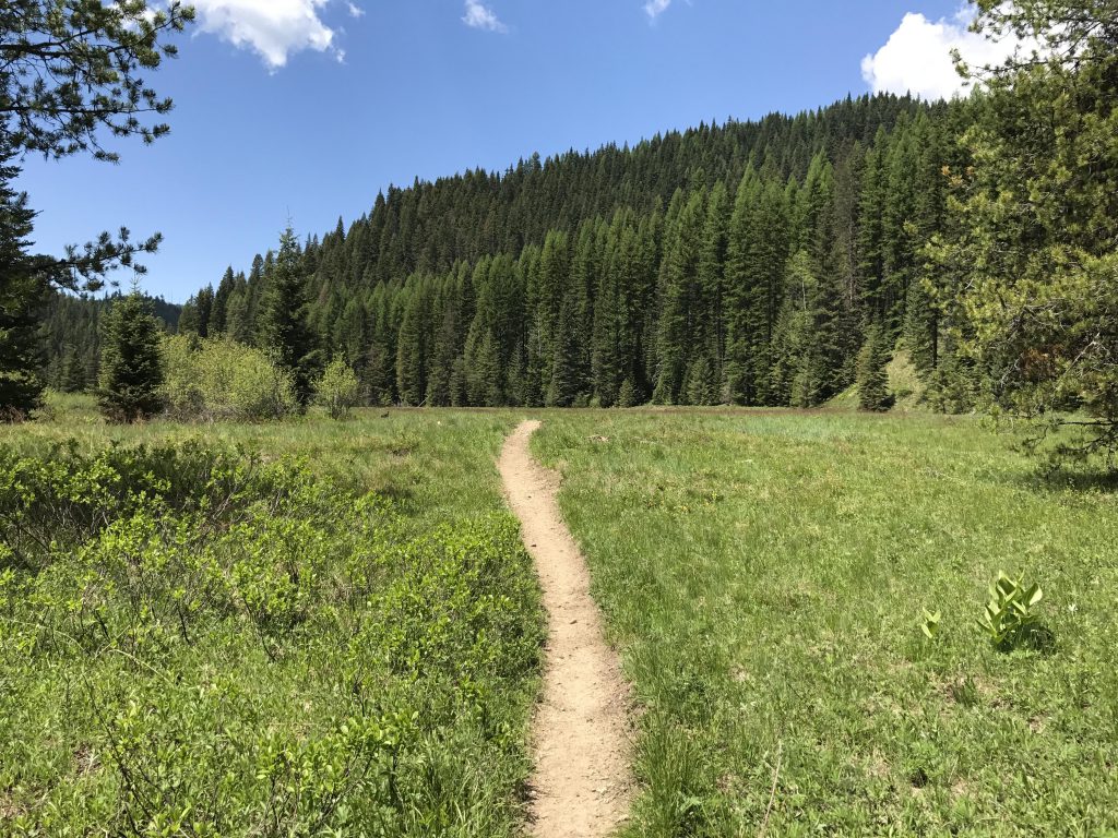
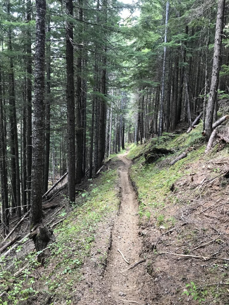
The trail is a singletrack that stays elevated above the flood plain until you get past Minor Creek. There are a couple of forks in this area, the first one just past Minor Creek connecting back to FR 3099 (trail #404) and just a little bit later, past Emerson Creek, a second one leading up to Devil Peak (trail #56). Bear left in both instances.
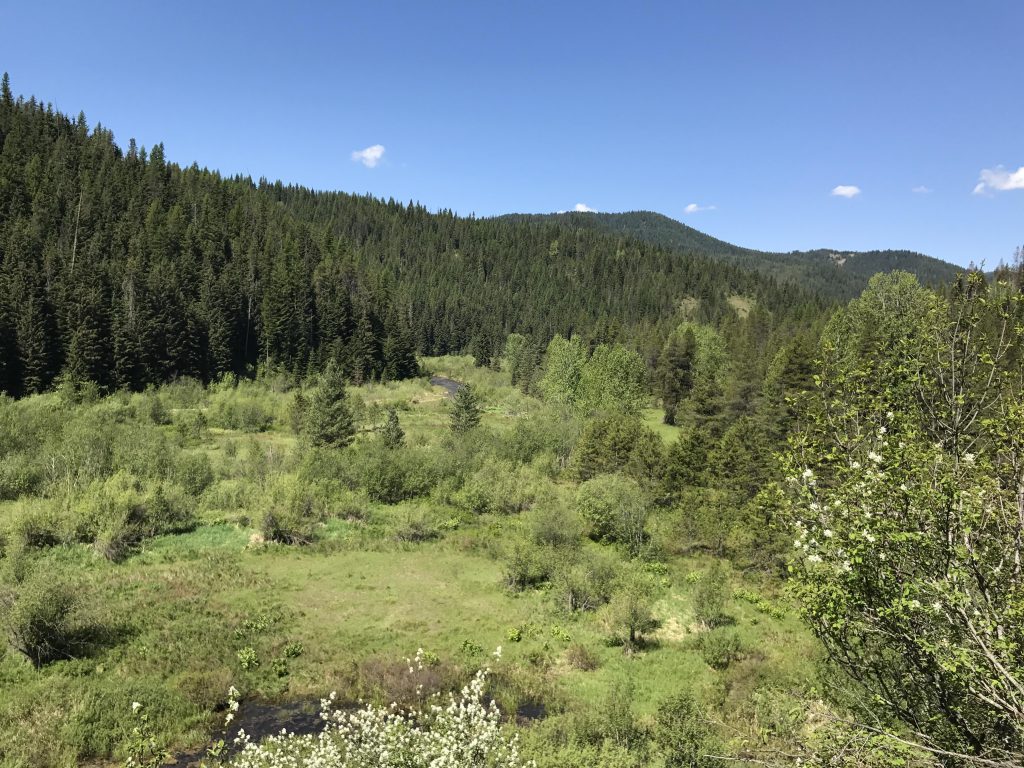
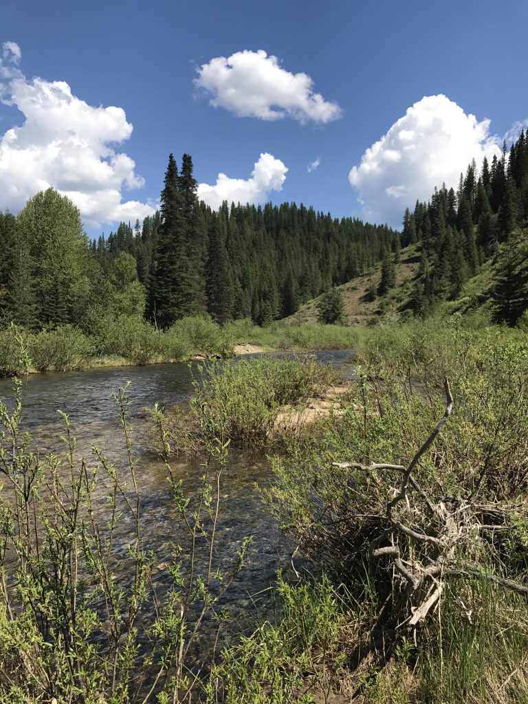
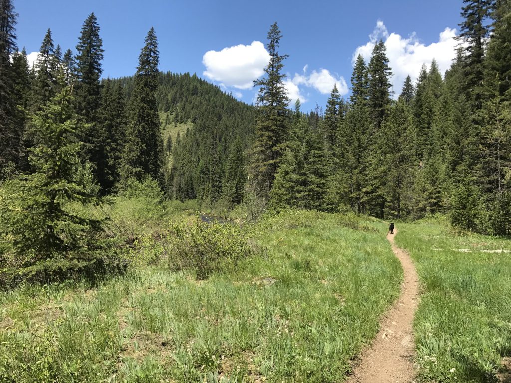
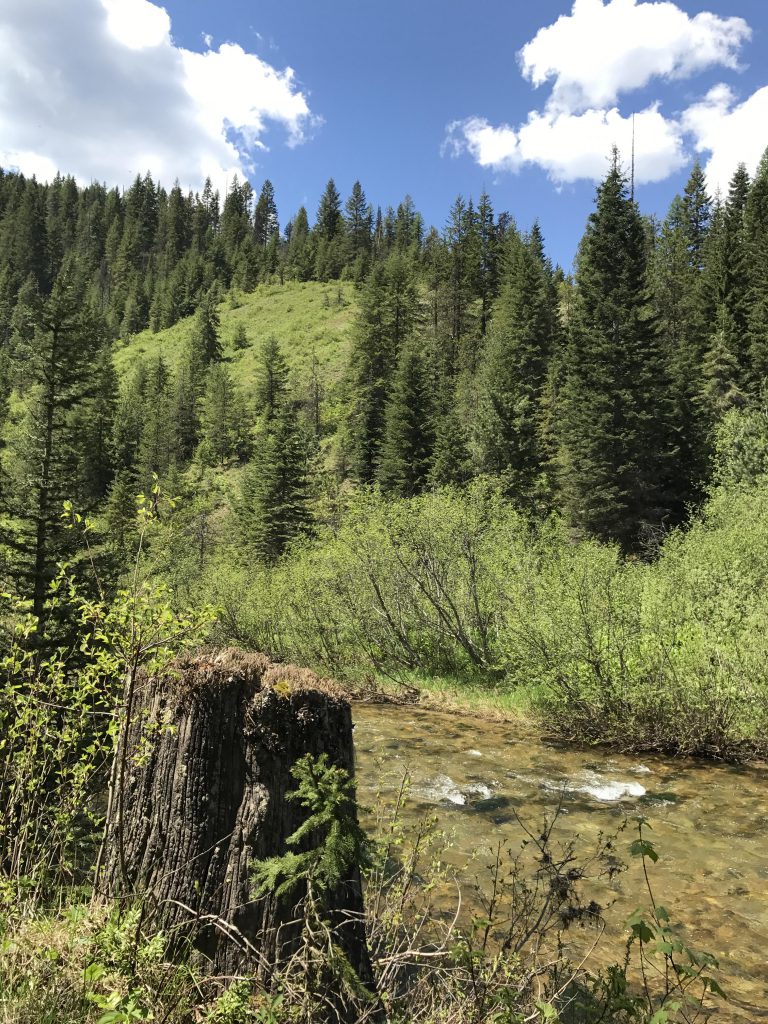
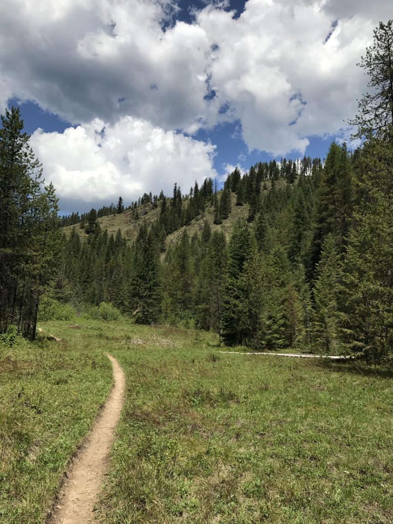
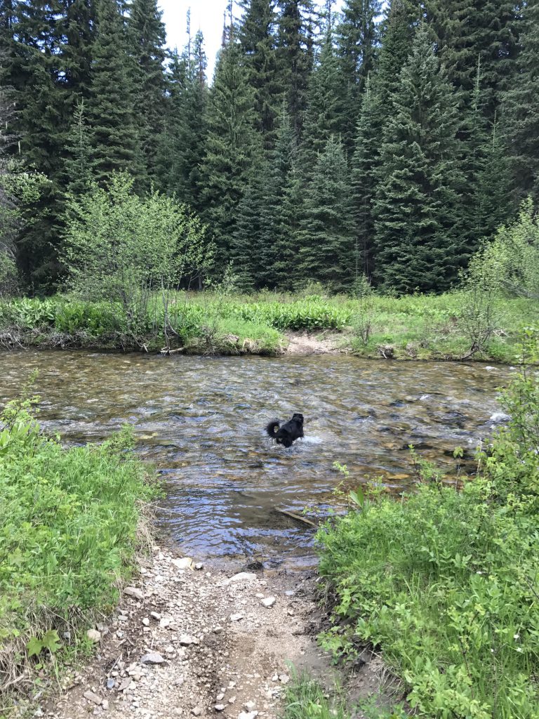
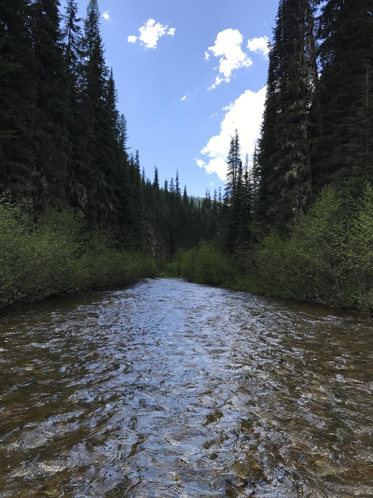
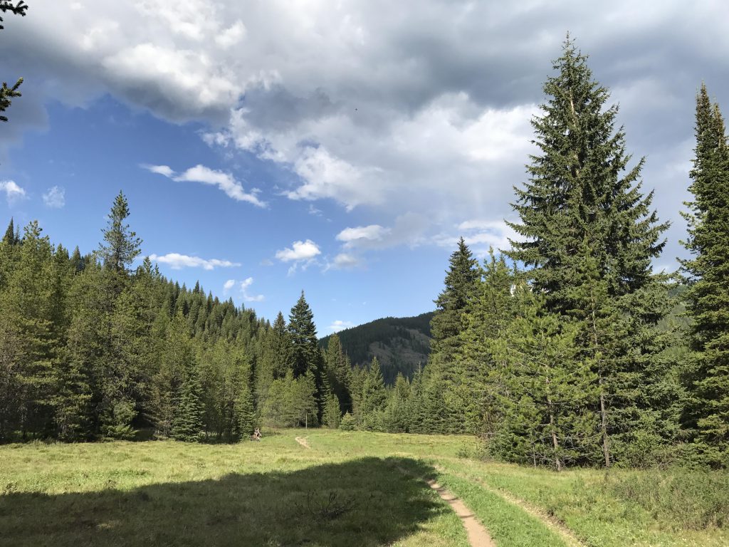
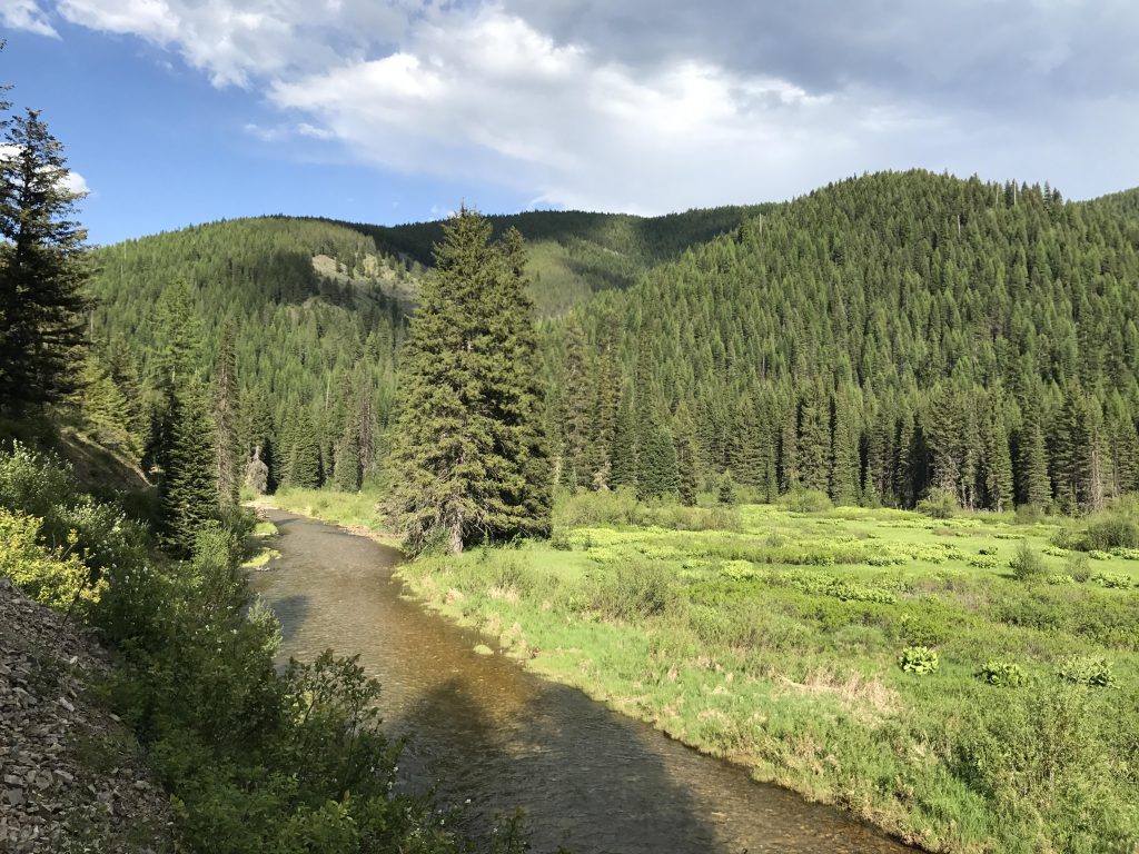
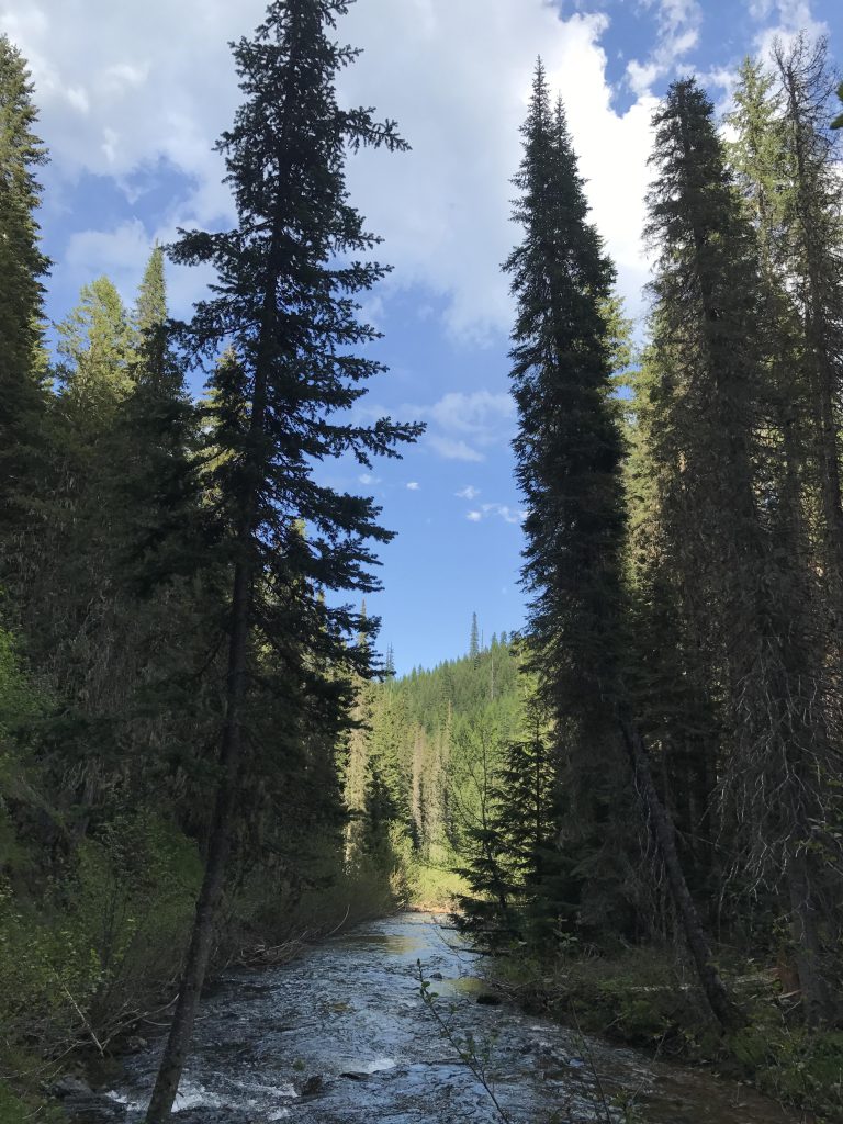
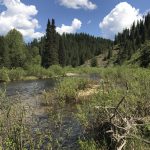
The trail then descends close to the creek level, but stays on its north side, while moving in and out of open forest and across verdant meadows. At the four-mile mark you get to cross the river for the first time. It is about knee-deep at the end of May, when most of the snow melt is already done. Not even a half mile later the trail shifts back to the north side and crosses Green Creek, a sizable tributary.
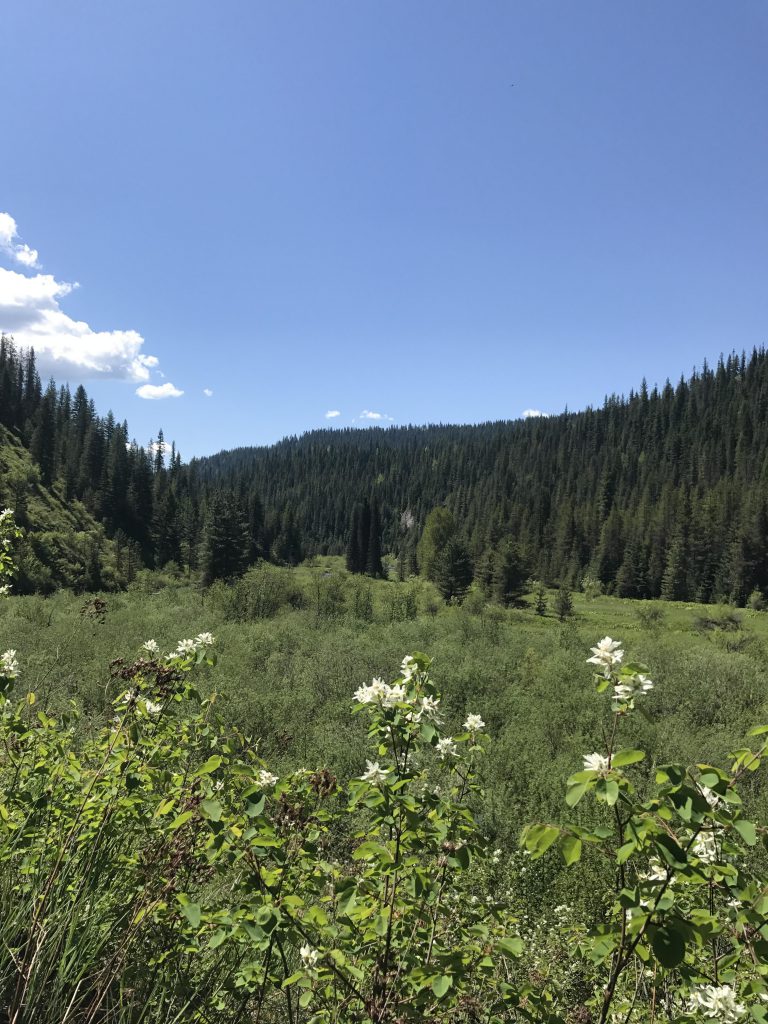
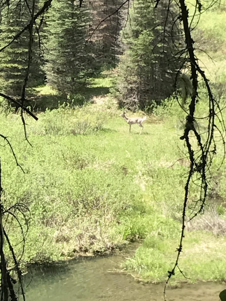
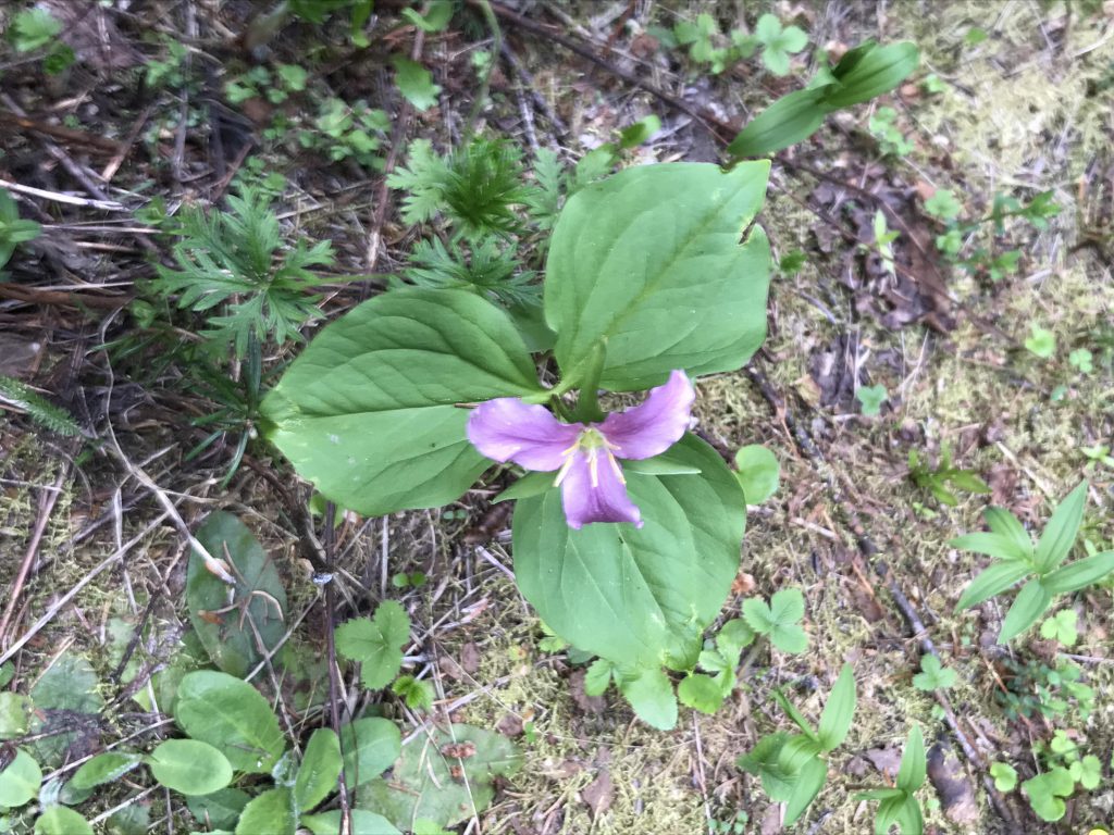
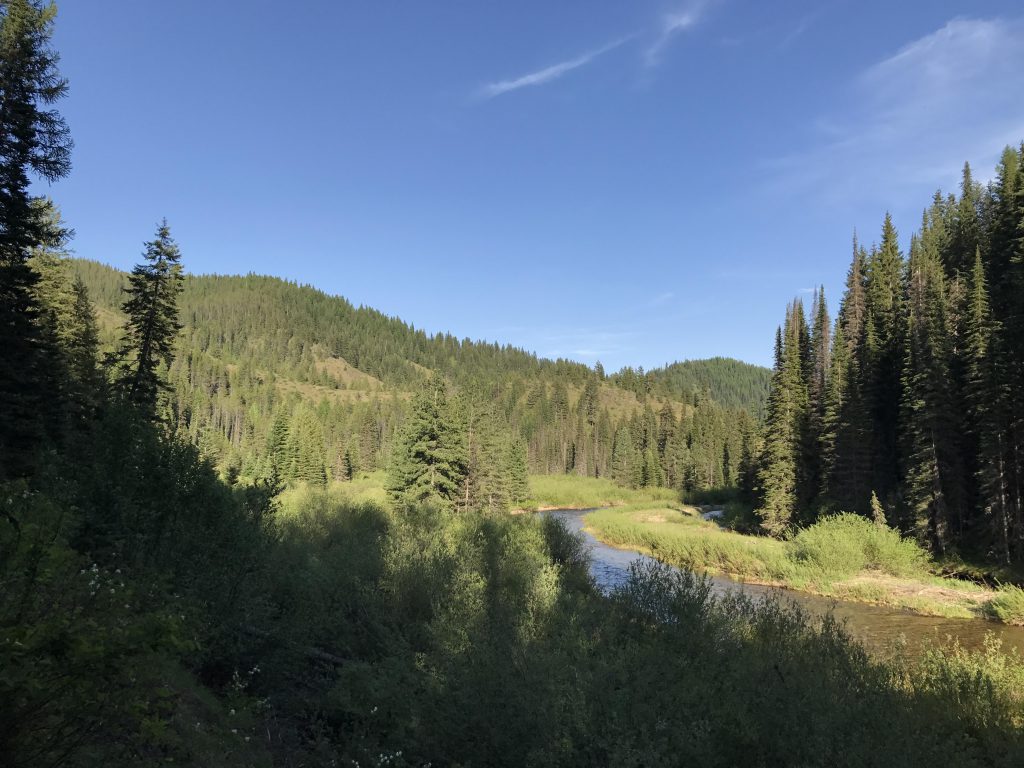
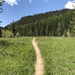
A wide flood plain featuring an excellent campsite then opens up before you. In a quarter mile the creek approaches the trail, reshaped by the whims of nature and the craftiness of beavers. Look for the beaver dam near the trail and likely deer in the underbrush. Beyond that point, an even broader meadow follows, inhabited by an army of ground squirrels standing guard over lifesaving tunnels.
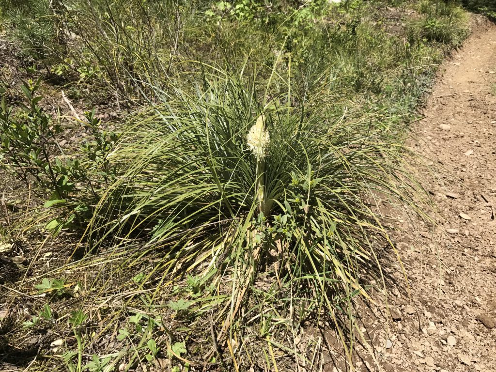
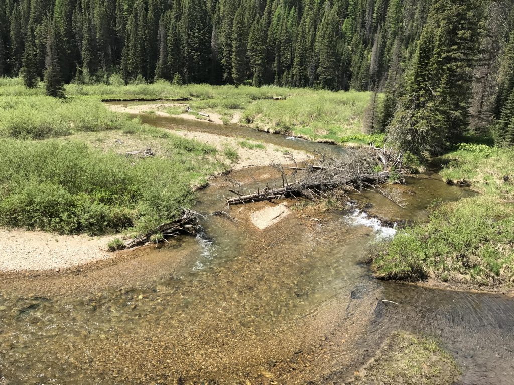
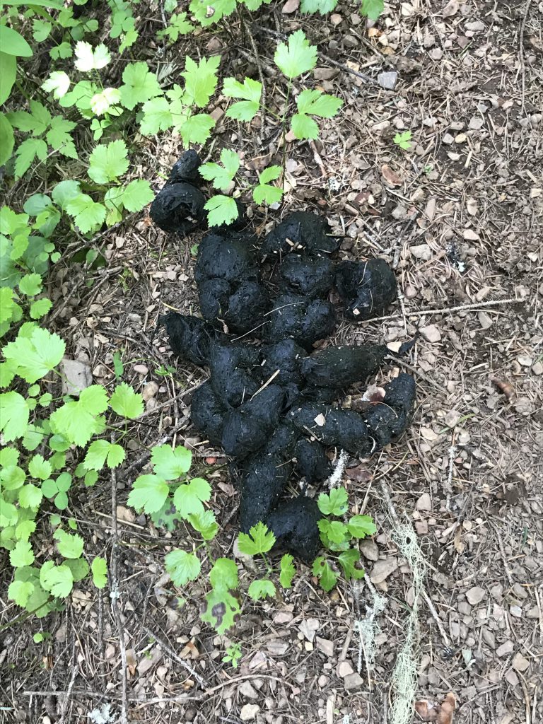
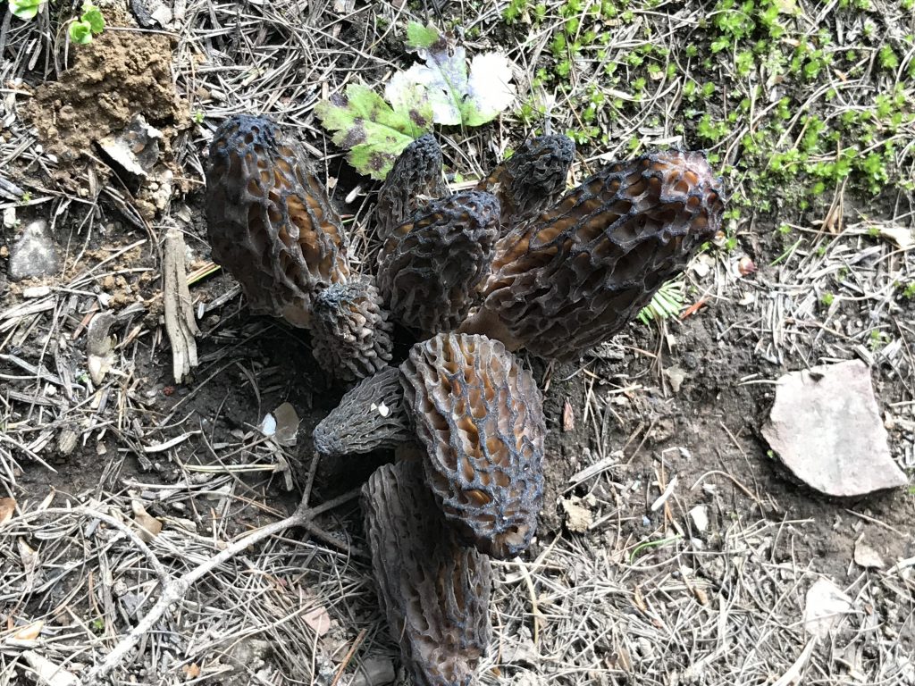
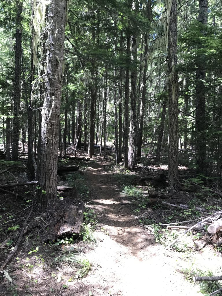
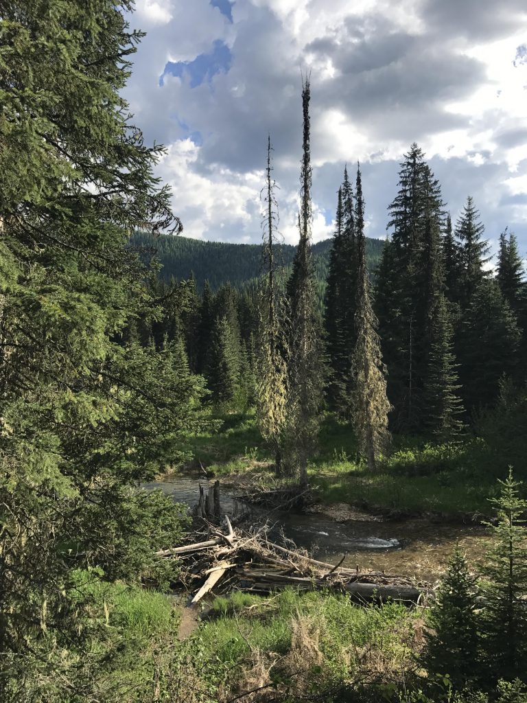
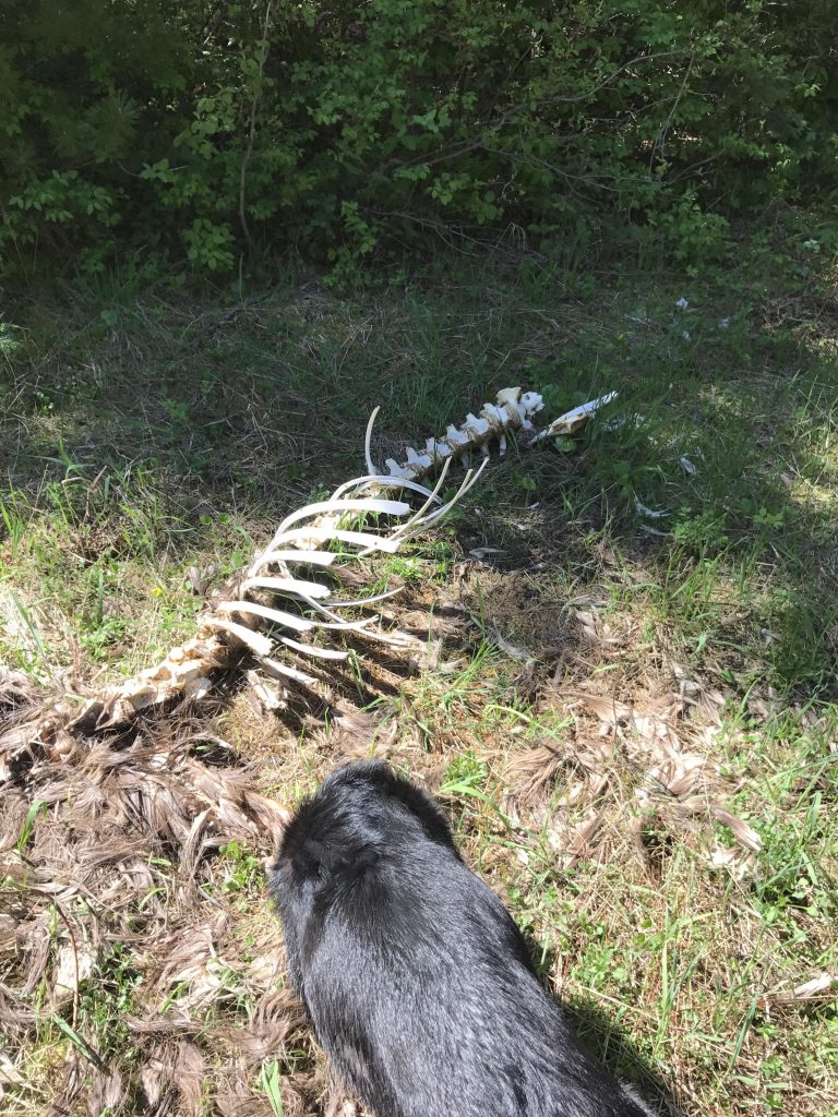
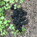
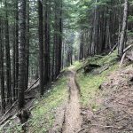
Just past the six-mile mark you get to several fordings, four in total, spread out over perhaps a half-mile (one is traversable via a fallen log) and soon after that you reach the Ermine Ridge trail fork. This trail leads uphill for four miles through a dark and sinister and dense forest, with the ground barren and pine-needle covered, enabling only mushrooms to thrive. To top it off we came across bear scat near the start of the trail. But as you get to the higher reaches the trees thin out and mosses pop up at first, then sporadic grasses and shrubs and soon a fairly thick cover of beargrass, huckleberries, strawberries, and thimbleberries.
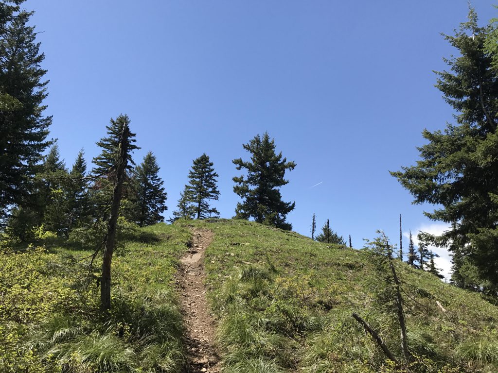
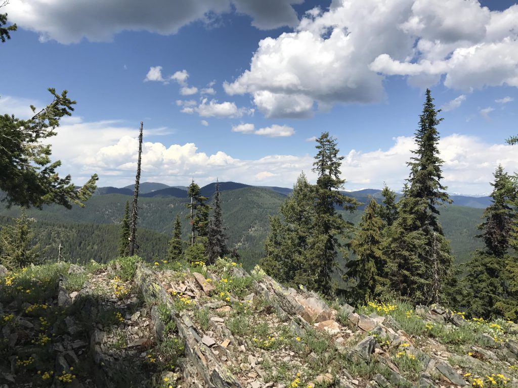
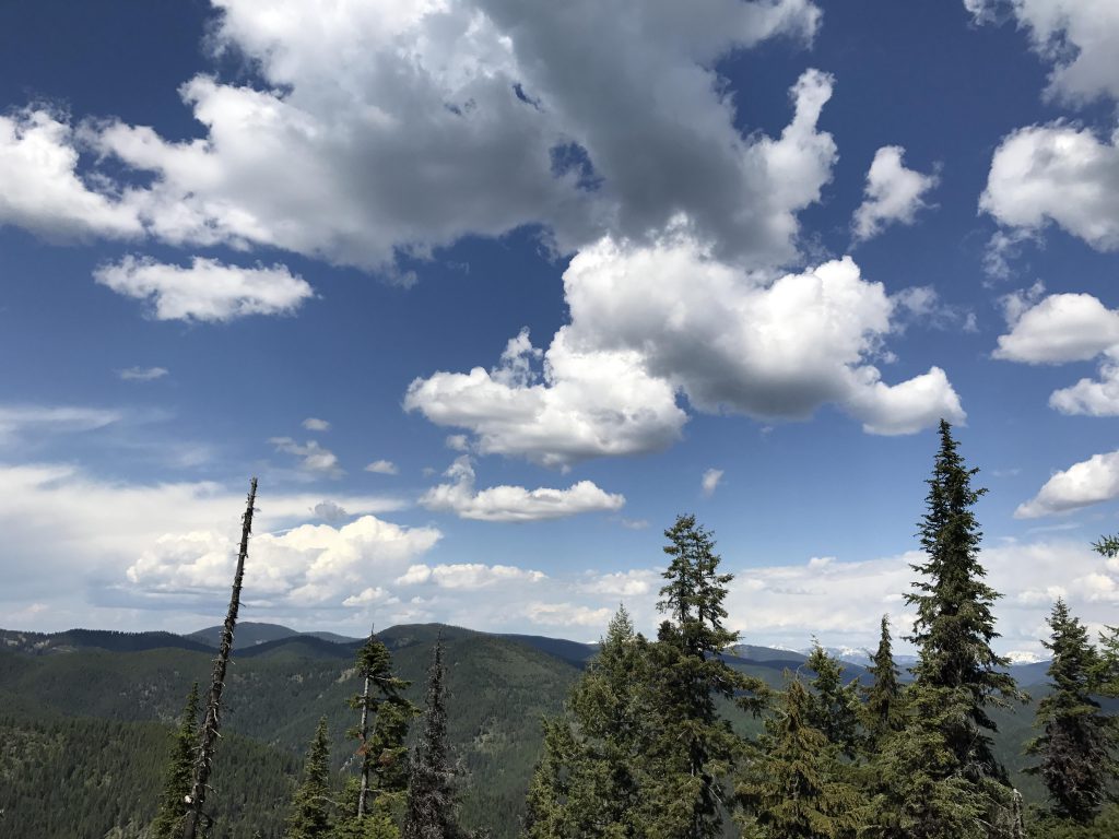
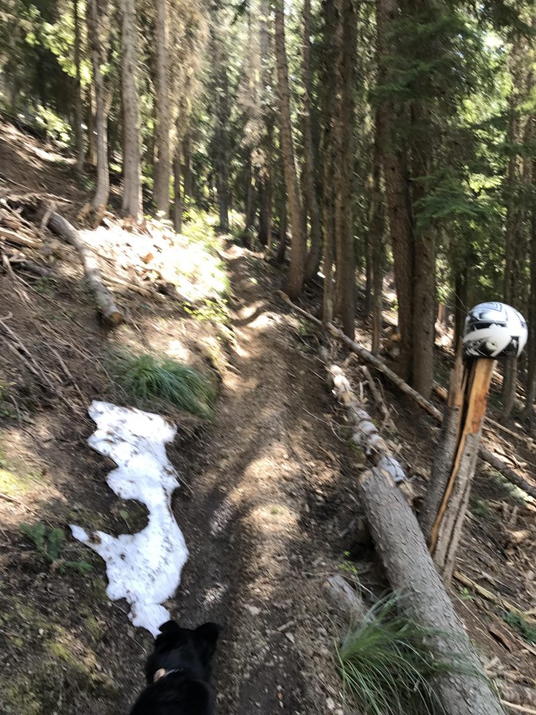
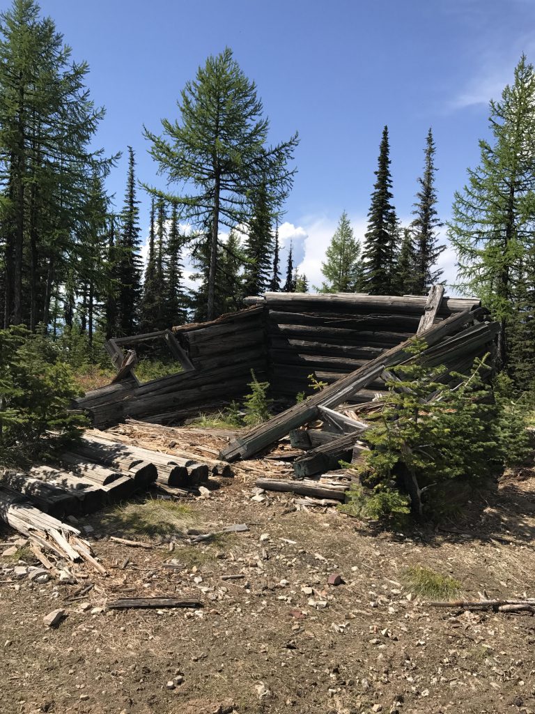
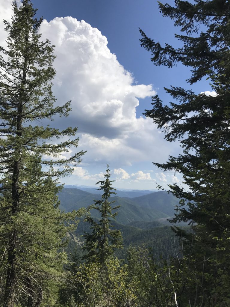
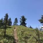
Within a mile of Faset Peak we happened upon this grassy bald crag with astonishing views to the north, where we took a break and pictures. The last mile to Faset Peak was mostly an easy traverse, dropping down a bit at first, then leveling off, and only the last bit was a steep ascent. Above 4800 feet we came upon the last reminders of winter, a few scattered patches of snow, and a motorbike helmet. Ermine Ridge trail #414 ends at the top of the ridge, but is short of the peak itself. To get to the peak take FR 2378 east for a short quarter-mile hike to the top. There used to be a fire lookout there, but only the concrete footings remain. There are also the remains of a log cabin and a newer radio antenna mast. Alas, the views aren’t great, as the peak is mostly hemmed in by mature trees. The best opportunity for pictures is just below the peak on the east side.
Then it’s back on FR 2378 and a bit beyond the fork with trail #414, where trail #416 (Declaration Creek trail) drops off to the left. This is a pleasant downhill along the side of the mountain and later straddling a side-ridge above Declaration Creek. At the 15-mile mark the trail merges once again with #22 near Snowbird Meadows. Swing a left onto #22 and head back to the intersection with the Ermine Ridge trail, a stretch just over 3 miles. But a pretty stretch it is, through light forest, green meadows, mostly alongside the creek, and with a number of tributaries to cross. Then it’s back to the car in about 7 miles.
Alternate Routes
- Park a second car at Webber Saddle and continue on #22 (see Upper Independence Creek trail guide)
- Add a side trip to Devil Peak (trail #56)
Things to Consider
Not so great