- Coeur d’Alene Mountains
- There are primitive campgrounds at Jordan Camp and Beaver Work Center (Marten Creek). We camped at the west end of Devil Creek and at Jordan Camp.
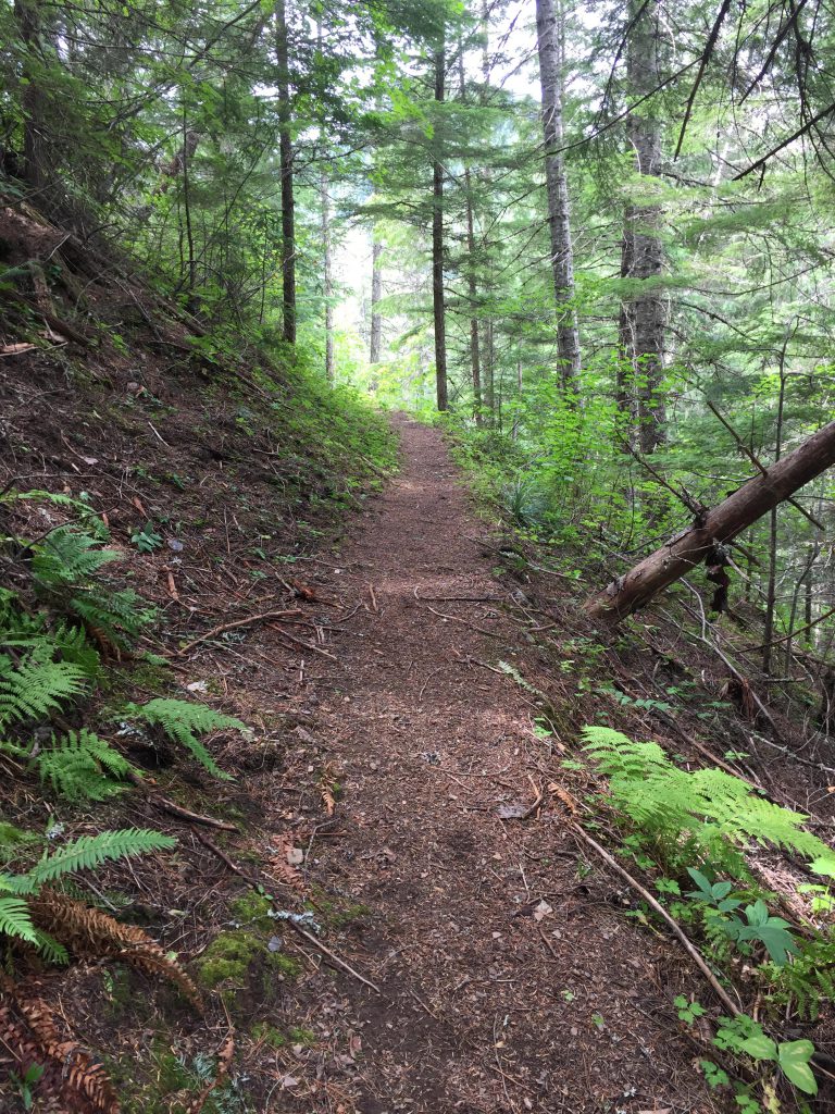
- Excellent along the Coeur d’Alene River. There were some blowdowns on trail 309, though, and the stretch along Devil Creek was essentially a bushwhack.
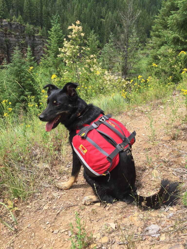
It took a bit over a year of constant nagging, cajoling, begging, insisting, and threatening to finally get the Scribe to write up a trip report for this magnificent backpacking trip into the wilds of the Coeur d’Alene Mountains! I even went on a hunger strike, which I was able to sustain for almost 10 minutes.
Anyway, this is one of the prettiest hikes in the Coeur d’Alene Mountains, and almost entirely non-motorized. We did want to turn it into a loop, which required the use of a few trails that allow motorbikes and a short section of forest service road. If you do the hike counterclockwise you’ll get those sections out of the way first.
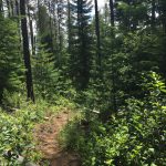
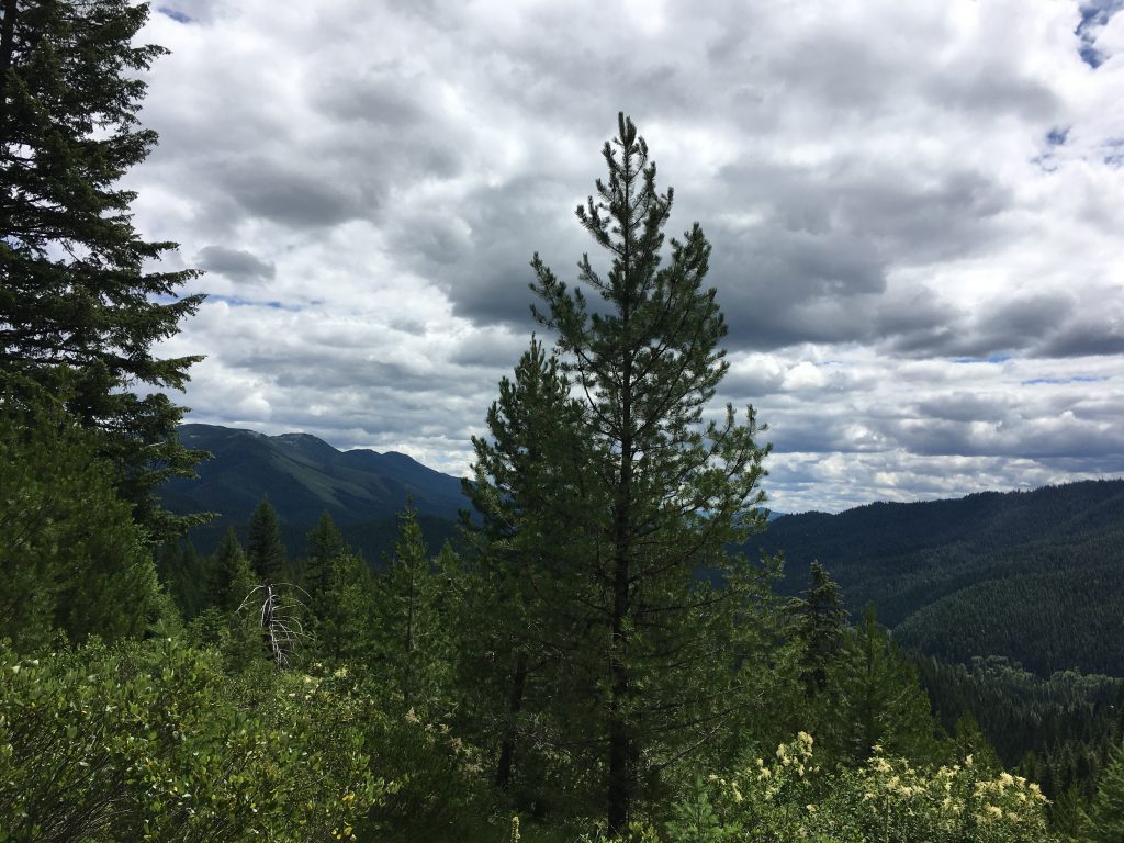
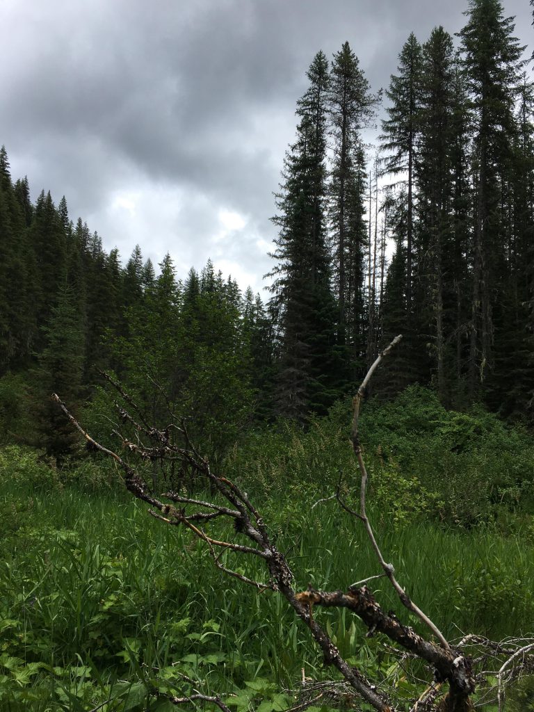
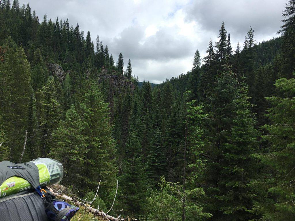
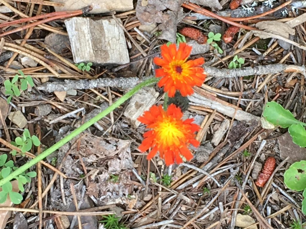
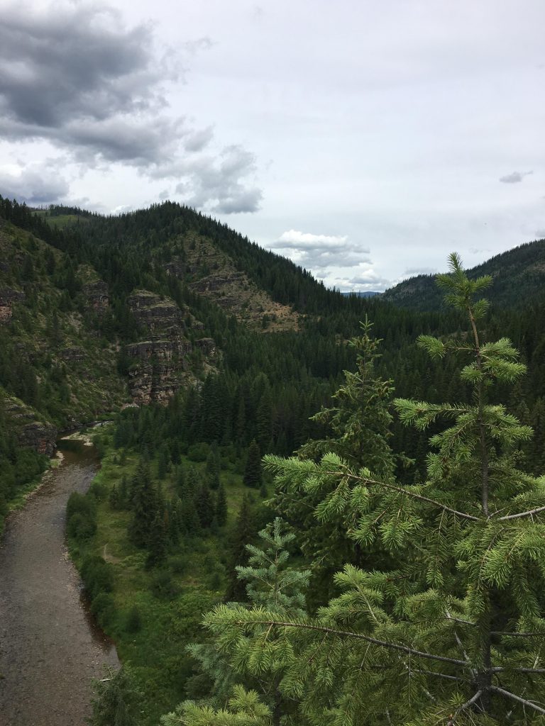
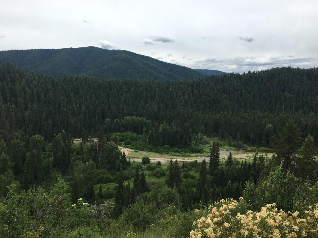
Start by parking at the trailhead to the Coeur d’Alene River National Recreation Trail #20 and hike about a mile alongside FR #208 to the trailhead to trail #309, which heads uphill at a steady incline and shortly reaches a ridge. The old route of trail #20 branched off from this point, lead downhill and across the river, but this was completely rerouted to the east side of the river. Therefore, turn left (west) and follow the ridge uphill, a nice hike among tufts of beargrass and swathes of huckleberries. The ridge is forested, but in the higher reaches it does upon up a bit for some nice views of more trees.
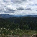
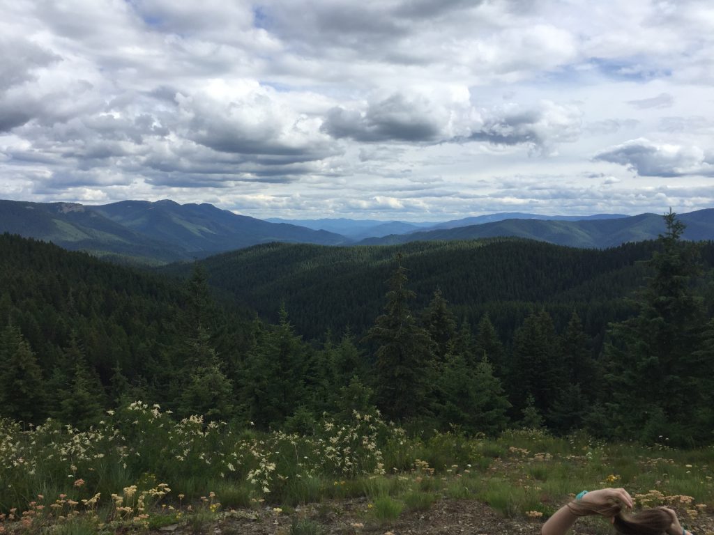
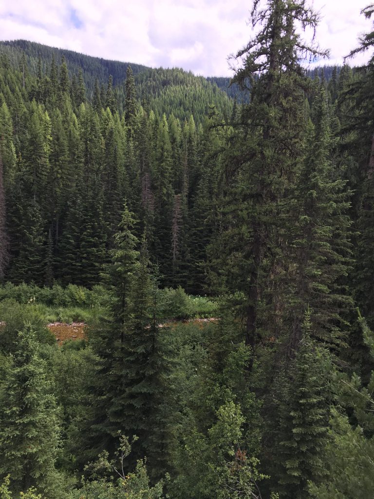
As you approach Amethyst Peak, the path turns northwards and downhill the other side to a crossing of Cataract Creek. That crossing is a bit overgrown and it is all too easy to continue down the creek, but trail #309 heads steeply uphill almost right away, climbing a ridge towards a helipad (around the 5-mile mark) with sweeping views and ornery elk in the woods. Within less than a mile you end up on FR #3099.
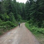
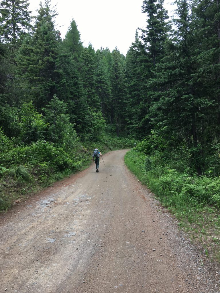
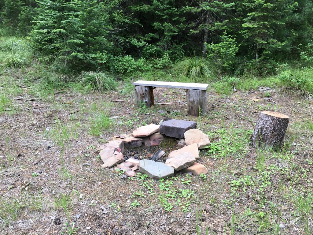
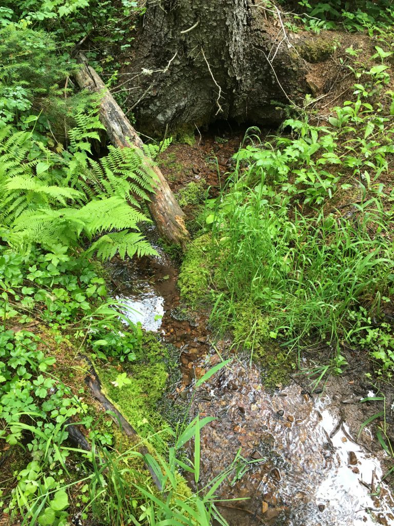
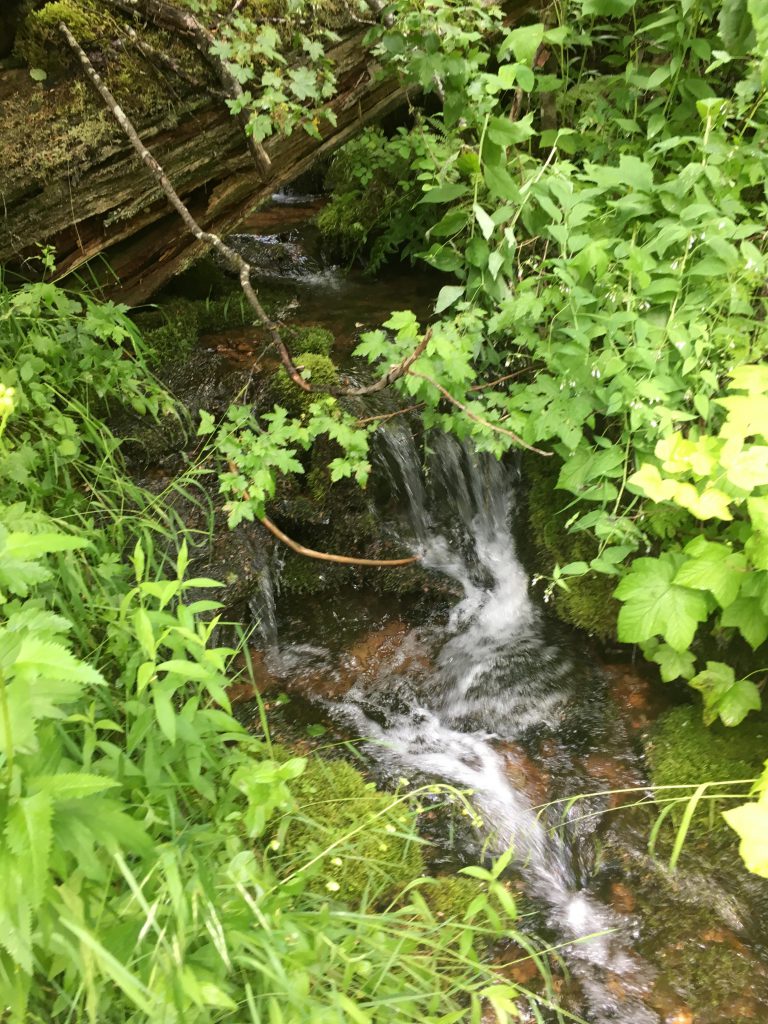
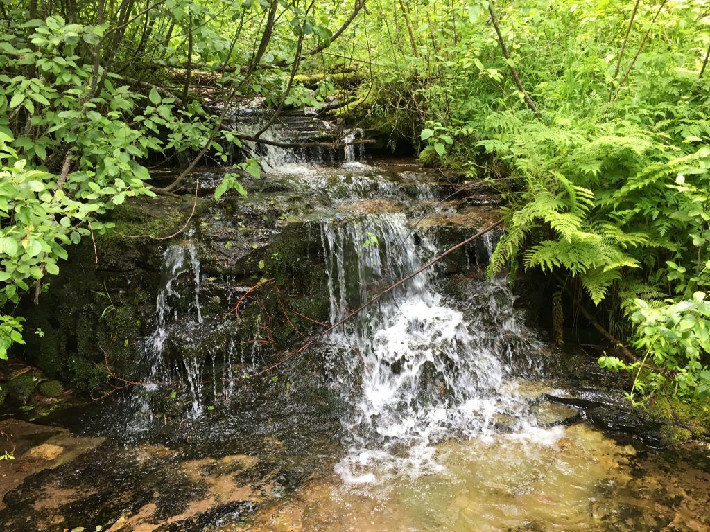
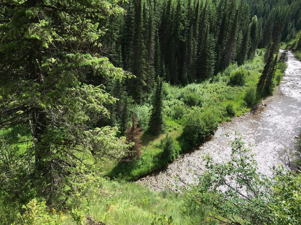
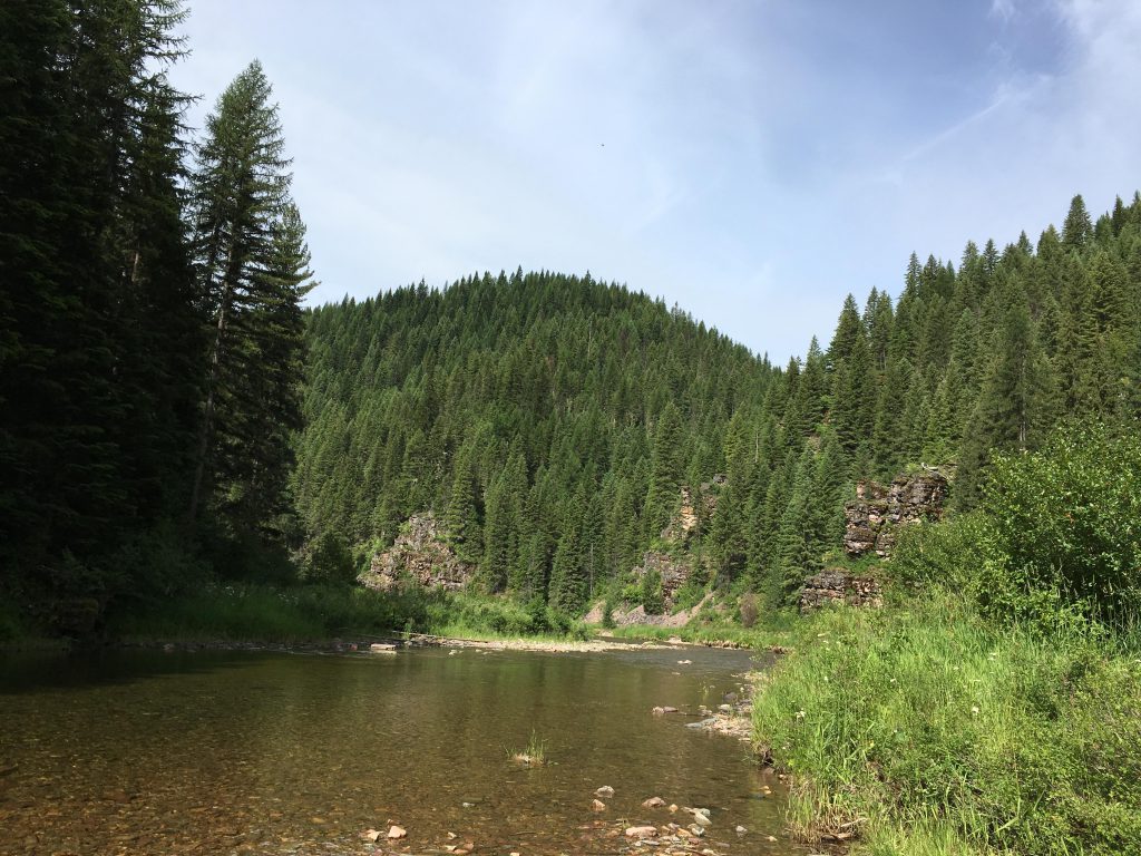
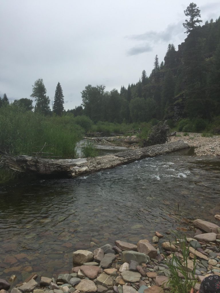
FR #3099 isn’t as bad as it sounds for we didn’t meet any cars or people at all along this stretch, and it makes for easy hiking. Make sure you stay on #3099 all the way to Devil Creek. There are two forks, at the first you take a left, and at the second you take a right. Devil Creek is reached at the 10-mile mark and is good spot to set up camp. At least, it was good enough for us. There is an overgrown and buggy site south of the river, and a rather pretty one, including a small bench and nice tent pads a bit up the Devil Creek trail. We chose that one. There is also beaver activity around Devil Creek, but we didn’t see wet hombres.
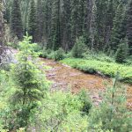
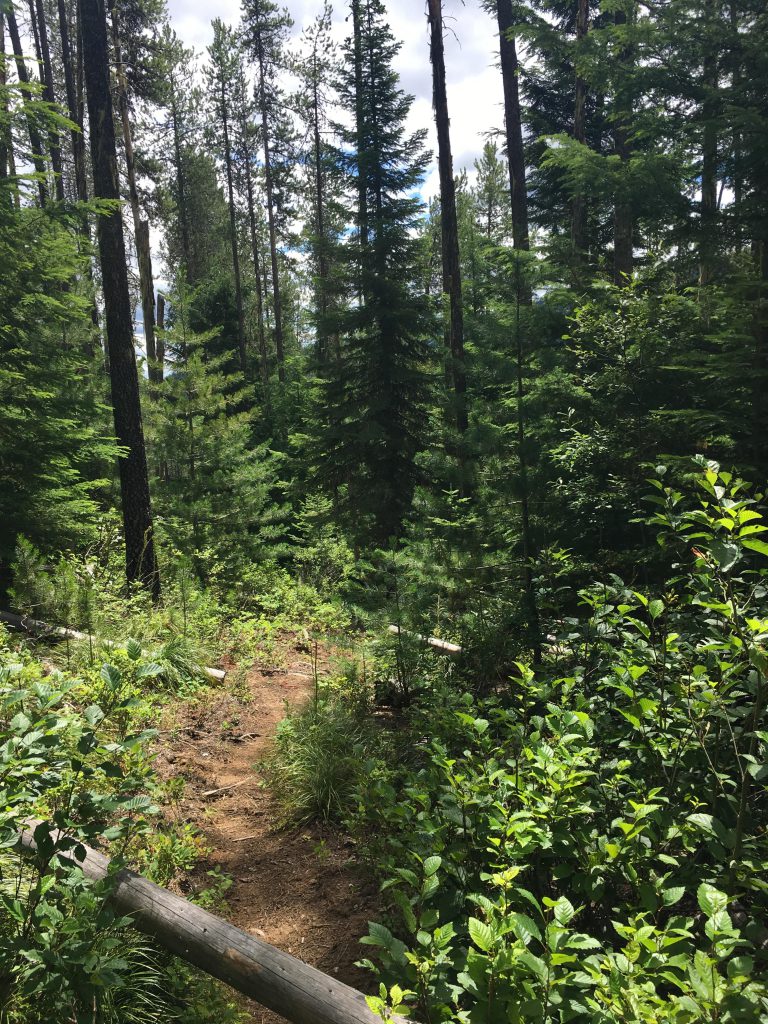
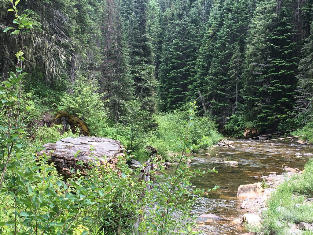
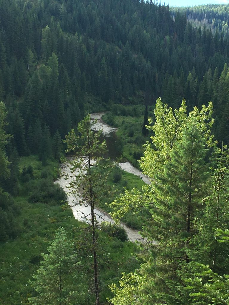
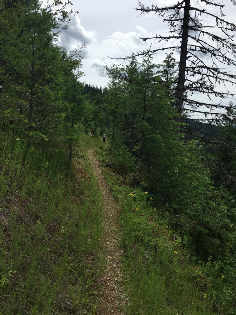
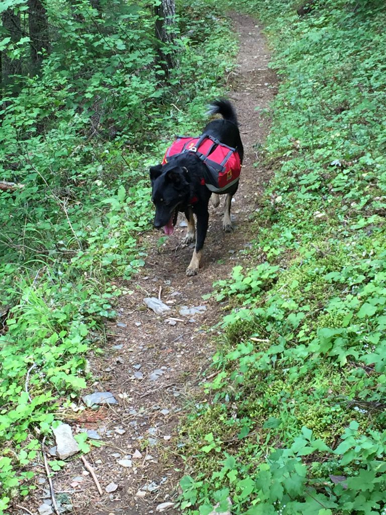
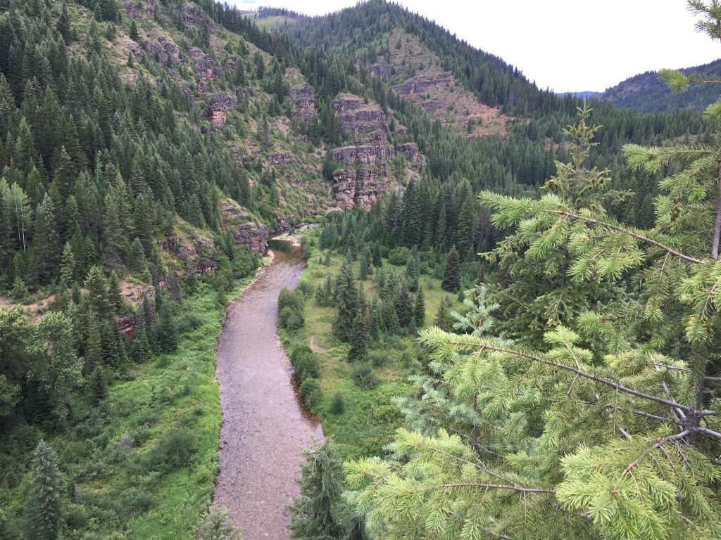
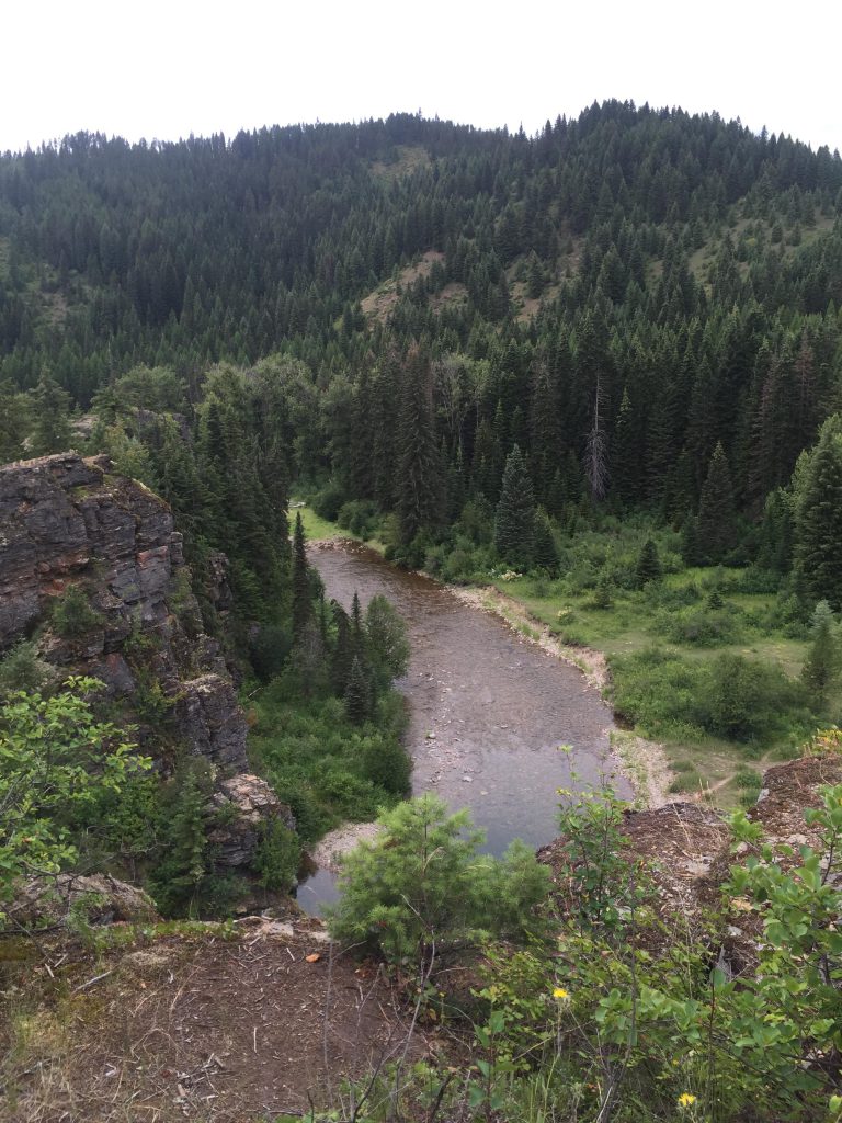
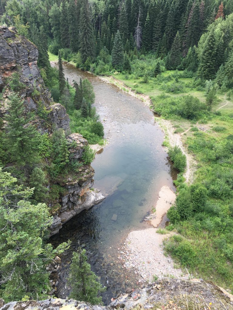
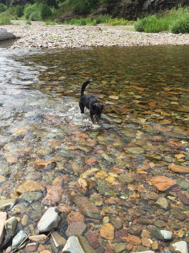
Unfortunately, it started to rain overnight and continued to drizzle well into the morning. Adding insult to injury, Devil Creek trail #56 hasn’t seen any trail maintenance in a long, long time. It was mostly a bushwhack through wet and dripping shrubbery to the convergence with the Coeur d’Alene North Fork. Fording the Coeur d’Alene proved easier than anticipated, and our spirits lifted. The National Recreation Trail on the other side was in good conditions and we were able to pick up the speed.
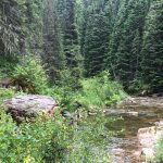
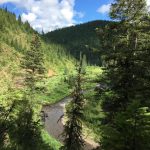
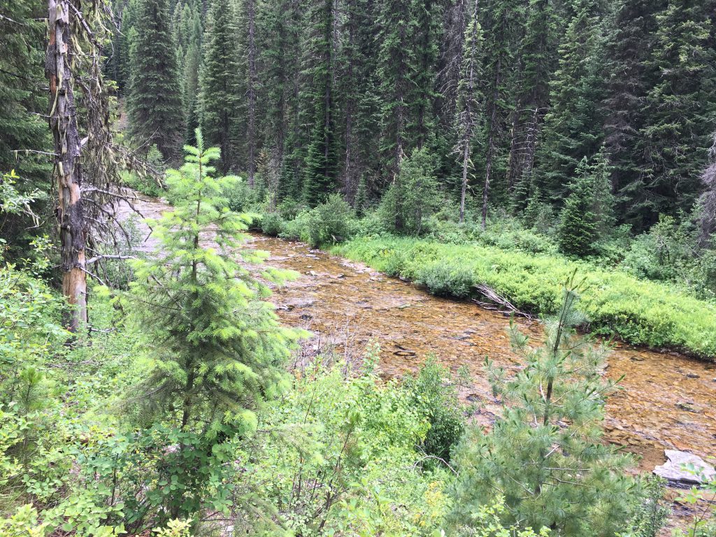
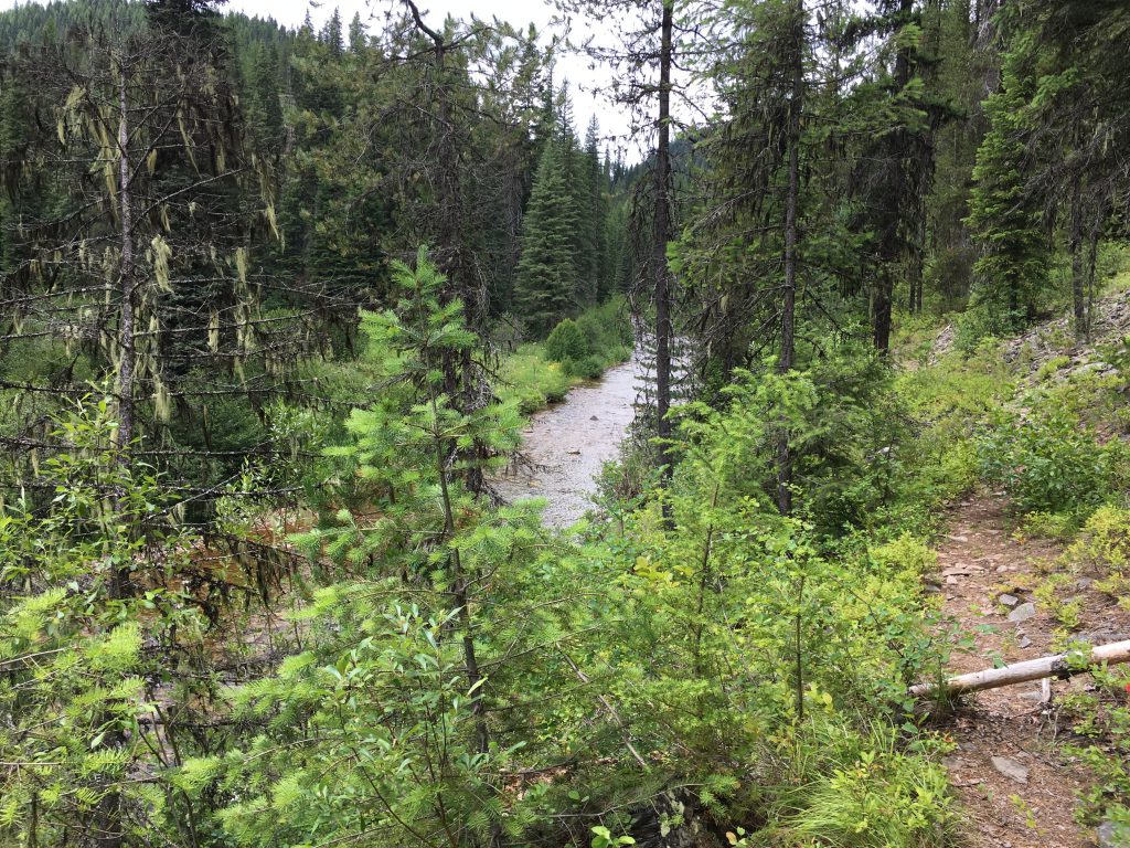
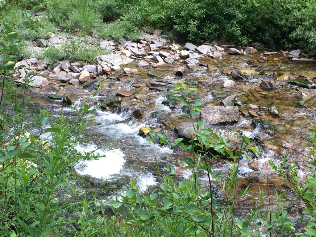
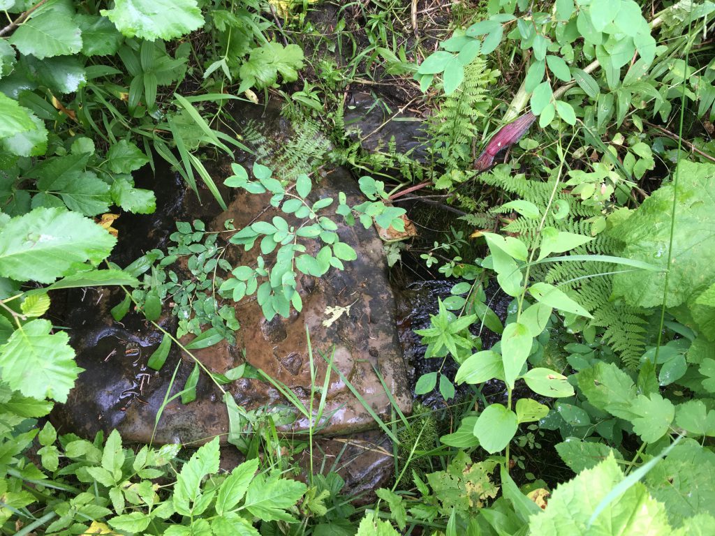
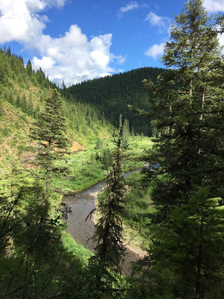
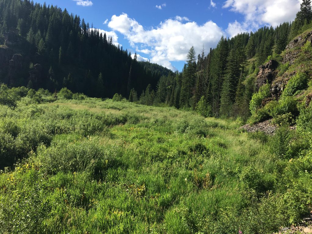
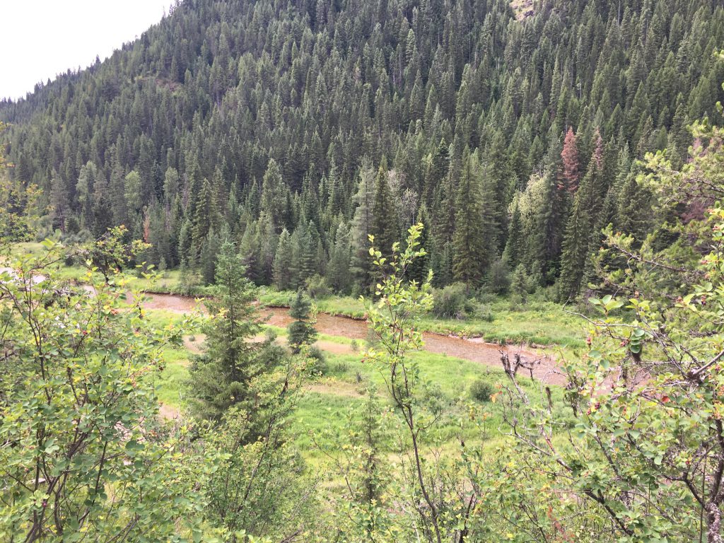
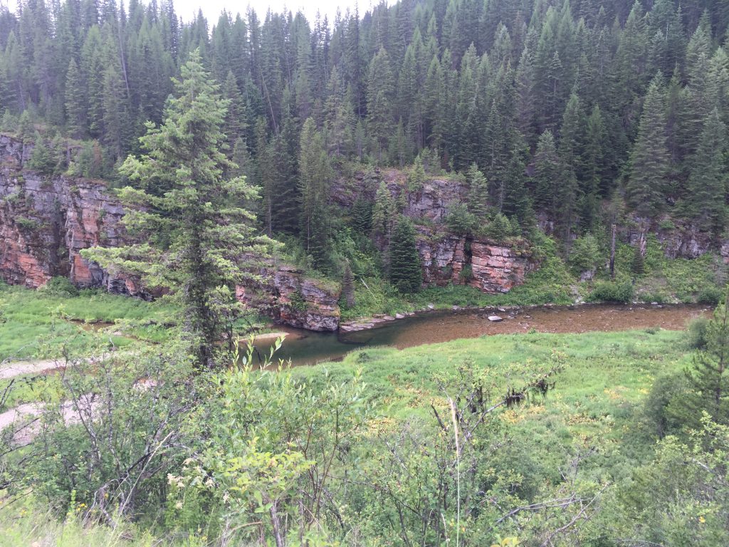
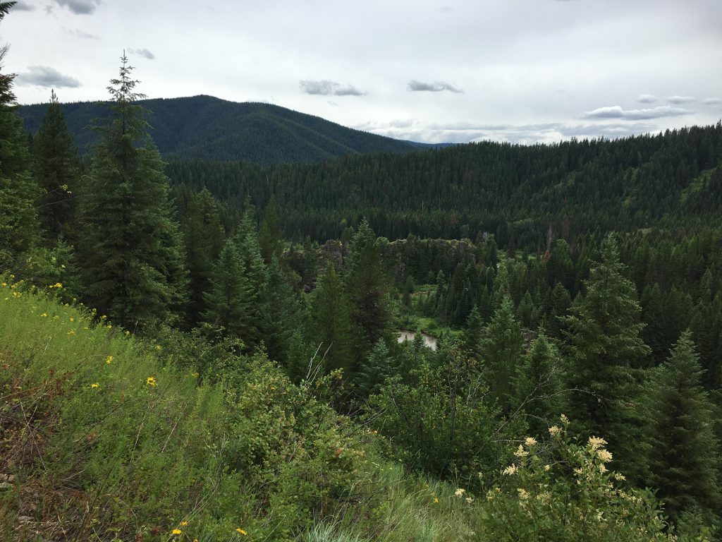
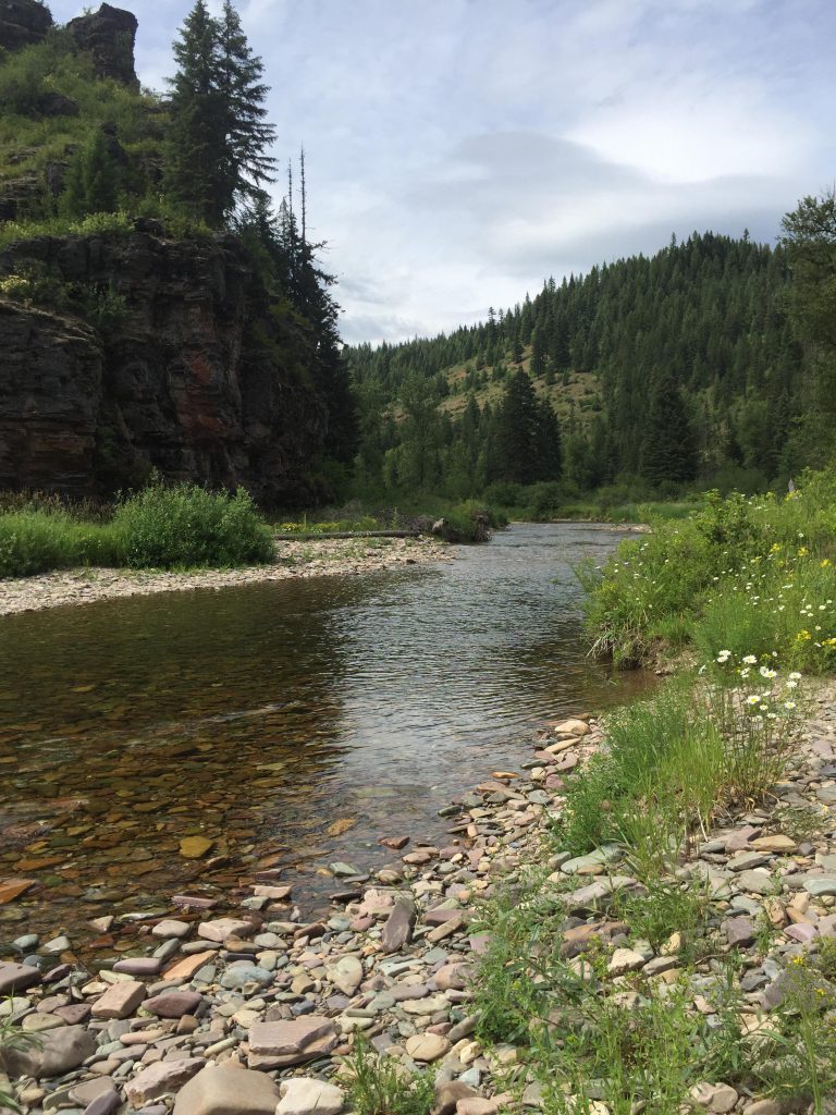
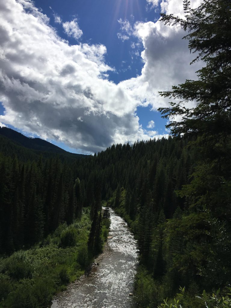
The trail parallels the river, sometimes moving up the flanks of the hills for a bit, then approaching the water again. Vegetation usually is very thick near the river and the trail sometimes boggy. All said, these next 5 miles are some of the prettiest. Then you get to an elbow where Deer Creek creates a swampy delta that is difficult to navigate. You’re going to have to follow the Coeur d’Alene River one way or another, and it will involve a bit of bushwhacking and likely some wet feet.
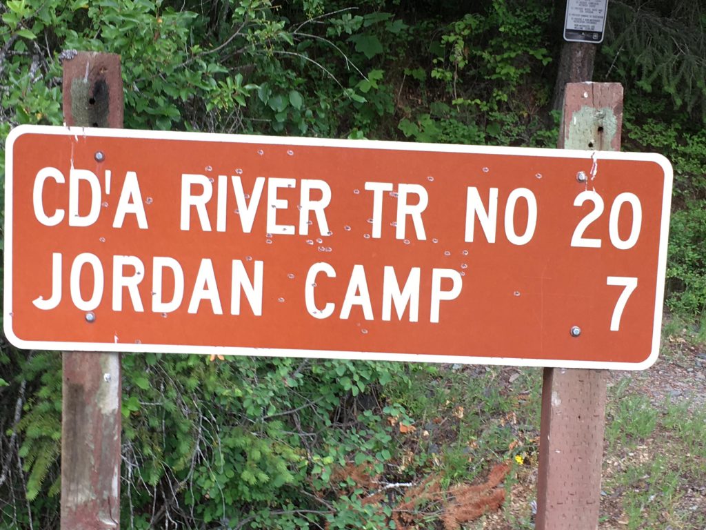
The river continues eastwards for a bit longer, with the trail climbing the hillside to the Alden Creek fork. Stay on #20, which now changes direction due south. You’ll spot sprawling campsites on the other side of the river, but there is no need to ford it. Soon you’ll hit on Jordan Creek Road #412 and a convenient bridge makes crossing the river at the 18-mile marker a piece of pie. There are lots of campsites at Jordan Camp, but you may have to share with car campers. We found a nice site at the south end and our only neighbors were far away at the north end (we couldn’t even see them, but heard the popping of guns…).
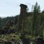
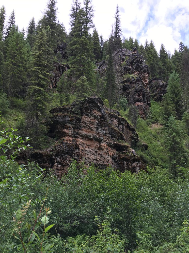
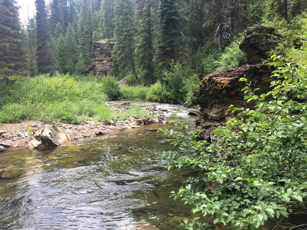
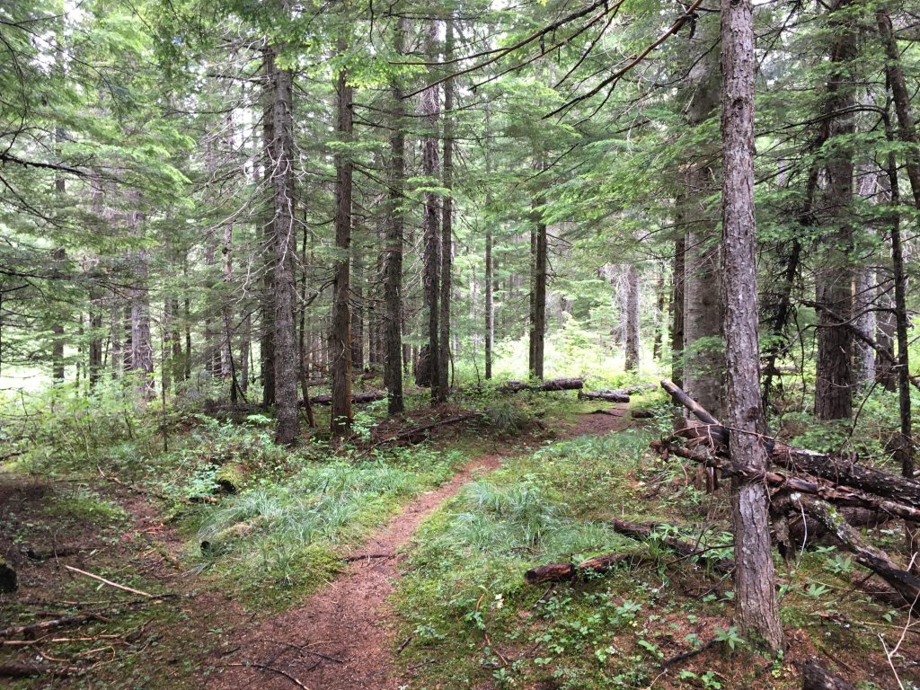
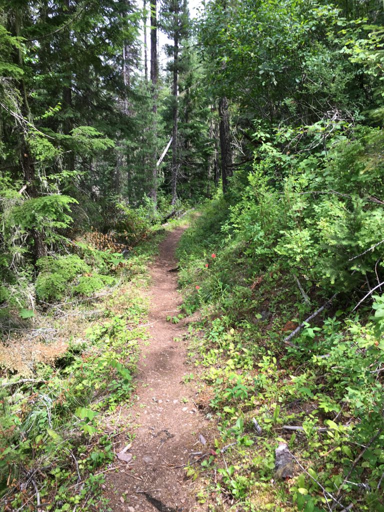
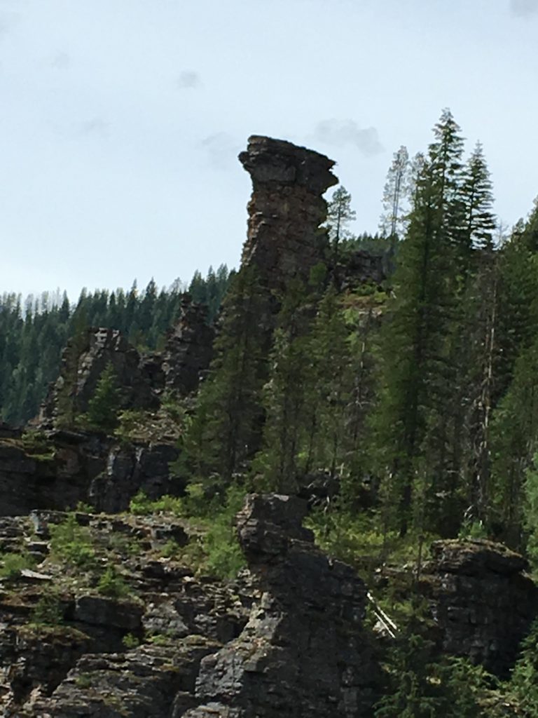
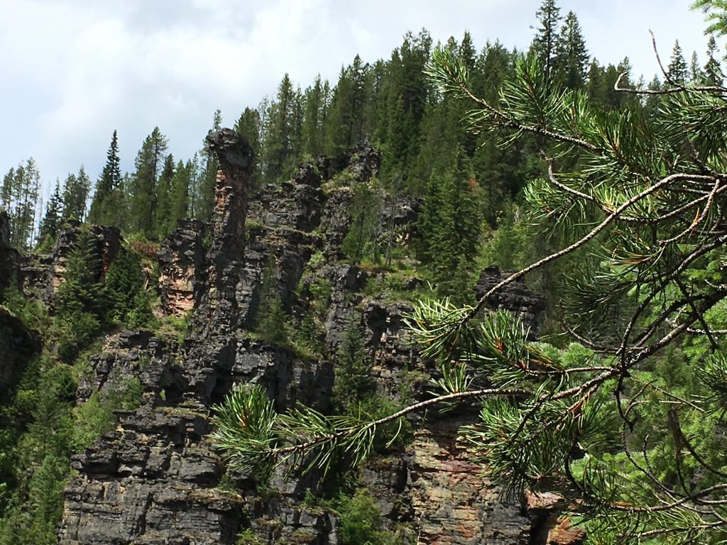
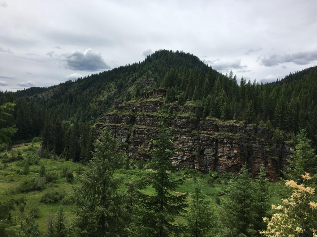
From Jordan Camp it is just 7 miles back to the trailhead, past magnificent rock formations (Castle Rock), and those miles had seen some very recent trail maintenance. Mostly the trail stays in the forest above the river, with frequent viewpoints, but there are a few locations where you can go down to the river for a cooling swim.
Alternate Routes
- Do an out-and-back as far as you want on the Coeur d’Alene River trail (#20). It’ll go all the way to Big Meadows (Marten Creek). The trail is very well maintained, at least to the Alden Creek Trail.
- Connect to the Alden Creek or Blacktail Creek trails in the elbow of the Coeur d’Alene River
Things to Consider
Not so great
This is great information! Thank you Naughty!