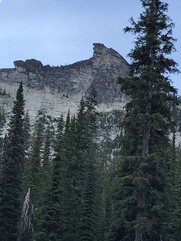
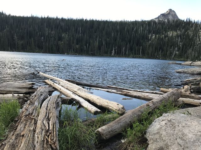
Harrison Lake is the quintessential alpine lake, cuddled in a perfect cirque, ringed on three sides by steep mountains, and overshadowed by hook-nosed Harrison Peak. The longer Myrtle Creek route ascends Harrison’s lower flanks, then traverses a basin beneath Harrison Peak and meets up with the shorter Pack River trail just before converging onto the lake.
| Location | Selkirk Mountains |
| Rating | 3.5 out of 5 |
| Difficulty | Moderate (uphill hiking) |
| Distance | 8.3 miles |
| Duration | 2:57 hours moving time (hiking) |
| Elevation Gain | 1,567 feet |
| High Point | 6,230 feet (Harrison Lake) |
| Low Point | 4,840 feet (Trailhead) |
| Trail Type | Out-and-back |
| Trailbed | Packed dirt, granite slabs, loose rocks |
| Trail# | 6 |
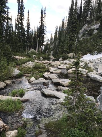
| Water | There are a few brooks along the ascent, perhaps seasonal, but some were quite substantial, and Harrison Lake. |
| Status | Proposed Wilderness |
| Administration | Kaniksu National Forest |
| Conditions | Excellent. Crawled under just one downed tree. |
| Permits | None required |
| Camping | At trailhead and at Harrison Lake. There is a bearbox near the outlet. |
| Maps | USGS The Wigwams, Roman Nose |
| Trailhead | From U.S. Highway 95 in Bonners Ferry, drive west on Riverside Road (aka Country Road 18A) past the Kootenai National Wildlife Refuge to the Refuge’s headquarters. Take West Side Road (blacktopped) north for 1.5 miles, then turn left onto FR #633 (Myrtle Creek). Follow this road for about 14 miles (it is a gravel road in good condition). Turn right onto FR #2409 and follow that another 1.5 miles to the trailhead. A high-clearance vehicle is recommended but not absolutely necessary for the portion on #2409. There is ample parking at the trailhead.
Google Directions (48.704242, -116.622063) |
| Season | July to October |
| Squirrel Density | They’ve got marmots! |
| Features | Lake |
| Distance From |
|
| Resources | |
| Nearby Hikes | |
| Date | July 16, 2017 |
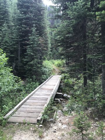
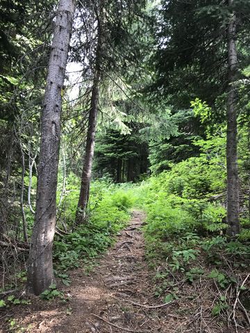
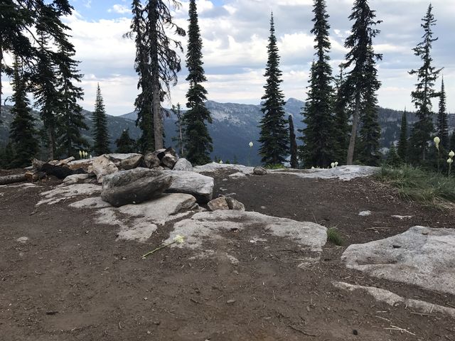
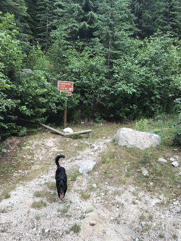 At the trailhead you are greeted by a sign announcing a 4.5-mile hike to the lake. The good news, it’s probably a bit less. We did the roundtrip in just over 8 miles and that included circumnavigating the lake, which is at least half a mile. Anyway, for the first mile or so trail #6 follows an old, overgrown logging road to Myrtle Creek, where you’ll find a neat bridge and a handy boardwalk keeps your feet dry as you traverse the swampy area beyond the creek. Shortly afterwards, the path veers off to the left, a true single-track now, and ascends the hillside at a steady incline. At first heavily forested, the trees start to recede a bit and once you get to the first switchbacks the views of the Myrtle Creek valley are quite good.
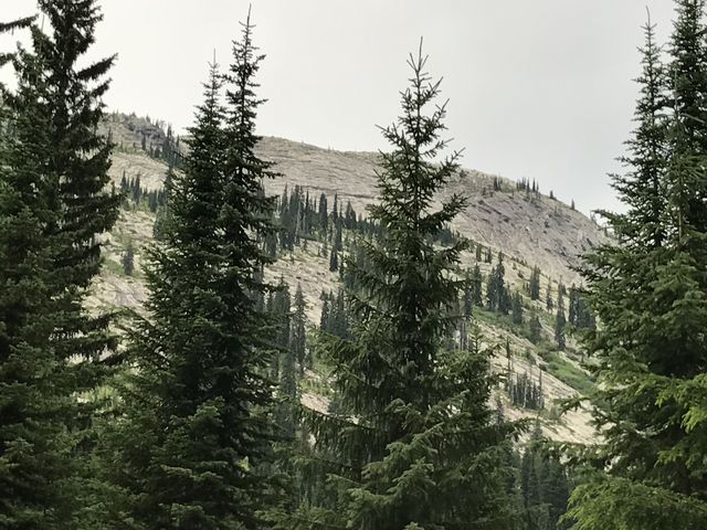
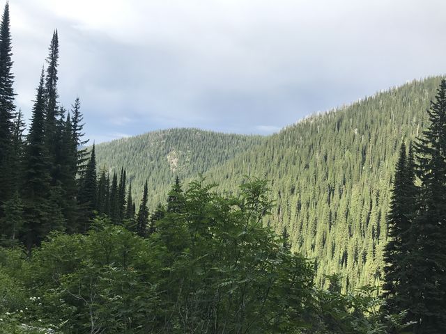
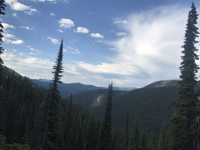
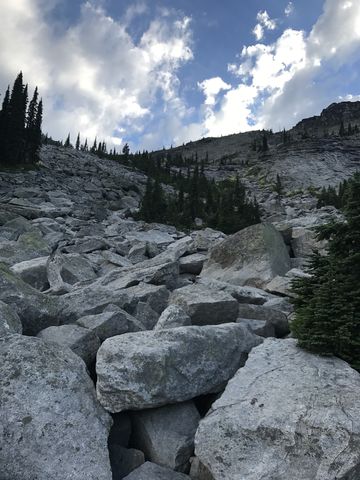
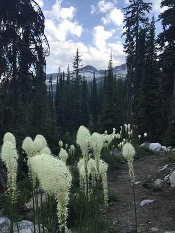 There are a fair number of switchbacks, but the trail is really quite easy to walk on, the steeper walls lined with boulders like landscaping blocks. After three miles you’ll emerge onto a basin beneath Harrison Peak and the trail heads westwards, mostly flattish or even a bit downhill, for another mile. Tree-cover is light here, and you get a few unfiltered views of the Seven Sisters and Twin Peaks to the left and Harrison Peak to the right.
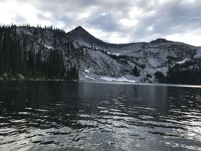
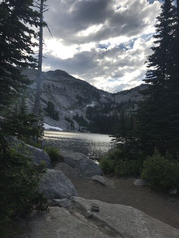 A few hundred yards below Harrison Lake you’ll meet up with trail #217 coming from the Pack River Road (it is signed). Head uphill and cross the many granite slabs that are holding Harrison Lake in place (many are marked with cairns). The view of the lake, as you rise up over the lip of the cirque, is truly magnificent!
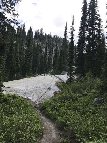
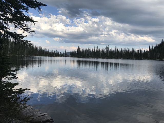
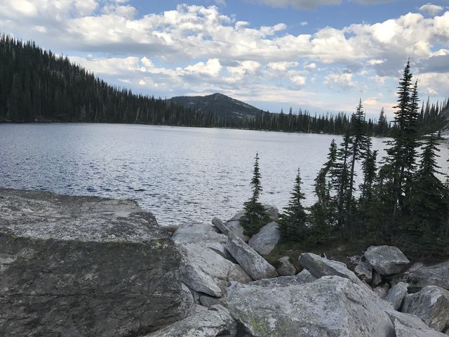
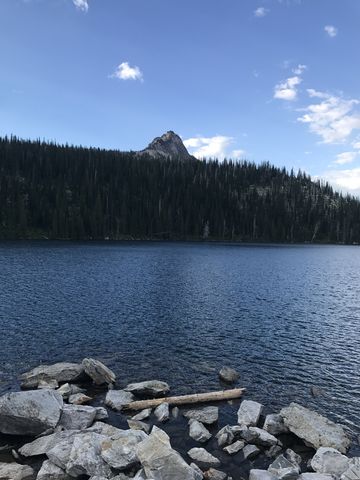 There is a trail all around the lake. It is in better shape along the southern and eastern shores, where most of the campsites are. The northern side is pretty much a bushwhack. The western end is hemmed in by a large boulder field, covered by a still large (in July) snowfield. It’s worth rock-hopping, though, because you’ll get a marvelous view of Harrison Peak rising up behind a forested ridge. And if you’re less interested in the view you can chase the hoary marmots whistling a challenge from across the snow and rocks.
No carcass (the grizzlies are thorough), and only Naughty was up for a swim (it was cold).
Enjoy this hike? Let us know in the comments below!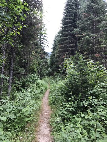


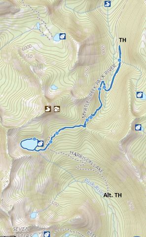
Alternate Routes
- A shorter but steeper route to Harrison Lake ascends from Pack River Road #231. Trail #217 is only 5 miles roundtrip.
Things to Consider
- This route has less traffic than the Pack River trail, but get ready to meet a swarm of campers at the lake!
© 2016 – 2018 NaughtyHiker. All rights reserved. No duplication without permission.