The Four Mile Cove hike is a short boardwalk loop through a dense mangrove forest on Florida’s gulf coast with two short excursions out onto the Caloosahatchee River.
| Location | Elsewhere |
| Rating | 2.4 out of 5 |
| Difficulty | Easy |
| Distance | 1.9 miles |
| Duration | 0:51 hours moving time (hiking) |
| Elevation Gain | 15 feet |
| High Point | 22 feet (trailhead) |
| Low Point | 0 feet (sea level) |
| Trail Type | Loop |
| Trailbed | Boardwalk, gravel |
| Water | Drinking fountain at visitor center |
| Status | Conservation Area |
| Administration | tba |
| Conditions | Excellent |
| Permits | None required |
| Camping | None. Toilets near trailhead |
| Maps | USGS Fort Myers |
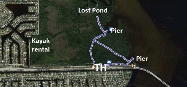
| Trailhead | From Del Prado Blvd in Cape Coral take SE 21st Lane east for a quarter mile, then turn right onto SE 17th Place. Continue for another quarter mile, then turn left onto SE 23rd Terrace. Continue into the park, just over a mile. At the park entrance is a sign pointing left for kayak rentals; that’s not where the trail is. Instead continue straight towards what is signed as the Iwo Jima memorial. The trail starts on the left, a bits ahead of the memorial. There is ample parking.
Google Directions (26.608344, -81.918808) |
| Season | Year-around |
| Squirrel Density | Dogs are not allowed |
| Features | Lake, Riverwalk, Grove |
| Distance From |
|
| Resources | |
| Date | October 12, 2017 |
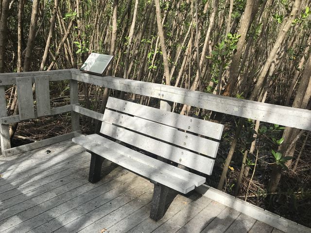
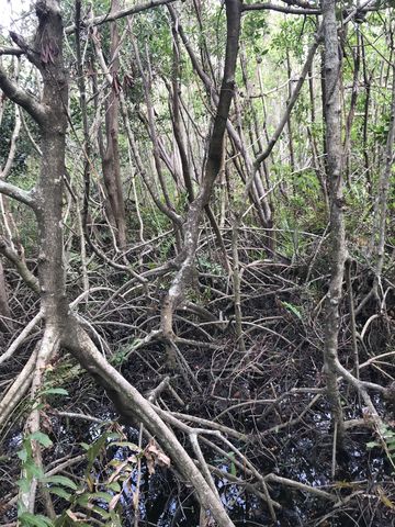
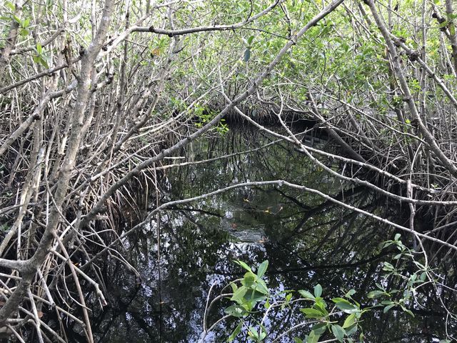
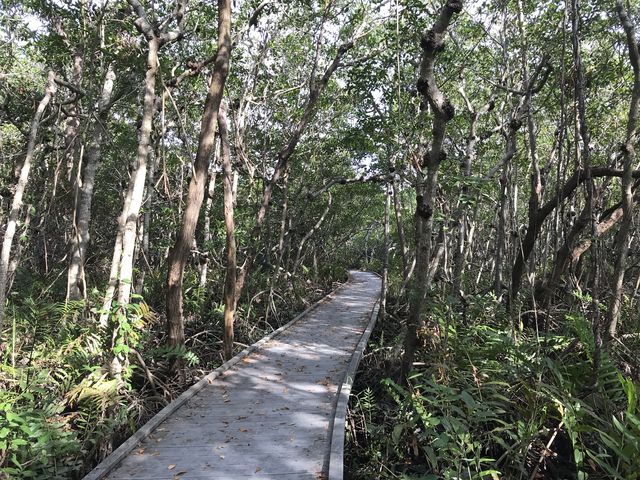
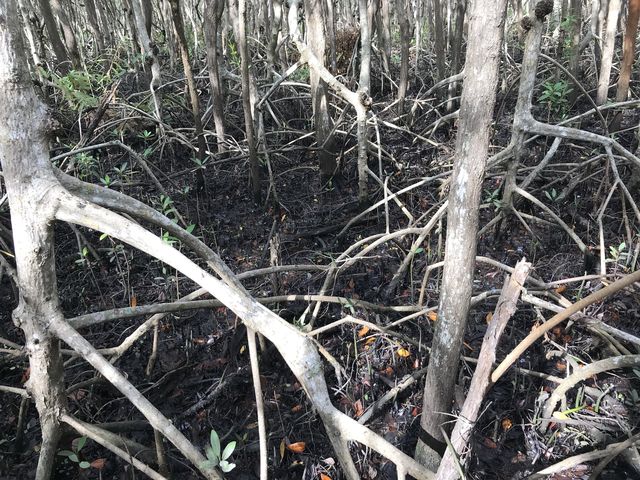
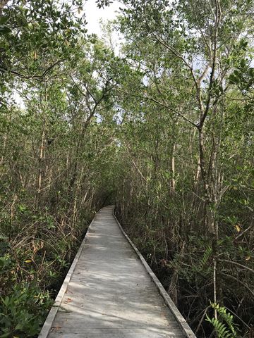
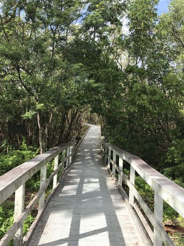 The trail starts on your left, ahead of the visitor center, a boardwalk meandering through a mangrove forest. The forest is rather dense, limiting views to the trees, but the sounds of the birds and the rustle of the wind in the trees are just as fascinating as what you see. Of the over 50 types of mangroves, three are predominant in this forest: white, especially in the first section of the hike, black, and red, the latter near the waterfront. The trees play a crucial role in feeding and providing shelter for wildlife, including fish and shellfish, herons, egrets, and otters.
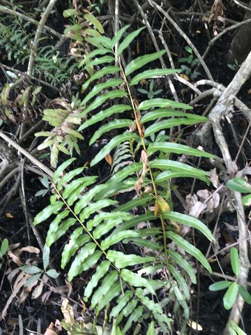
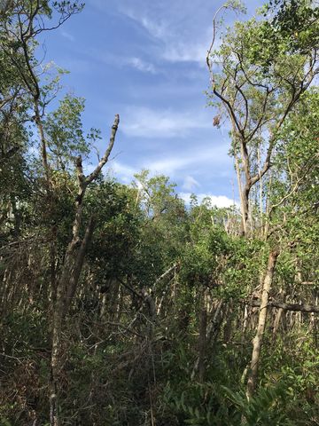
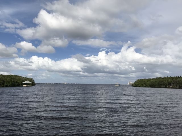
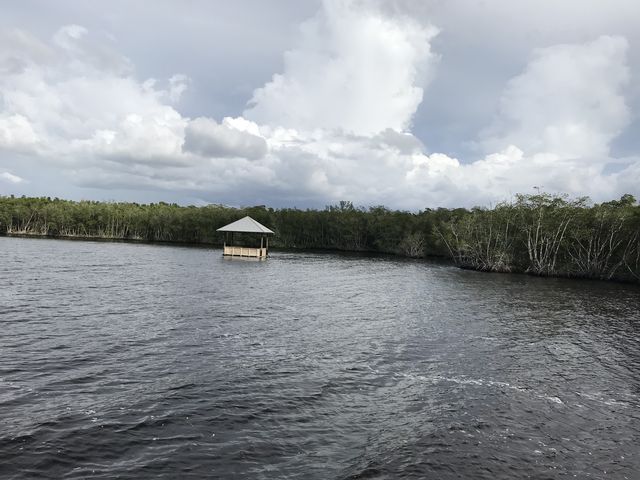
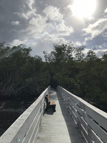
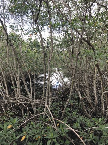
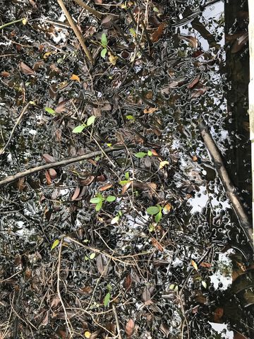
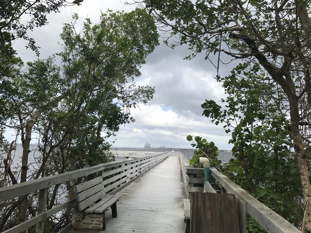
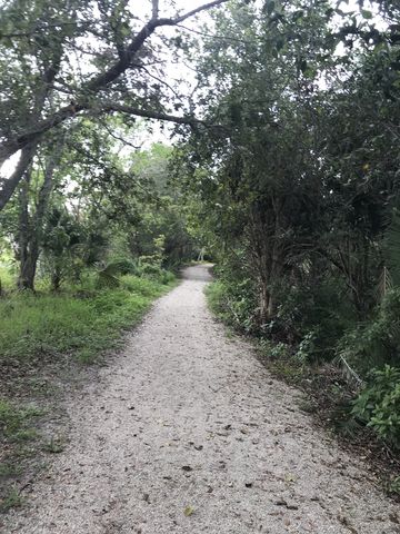
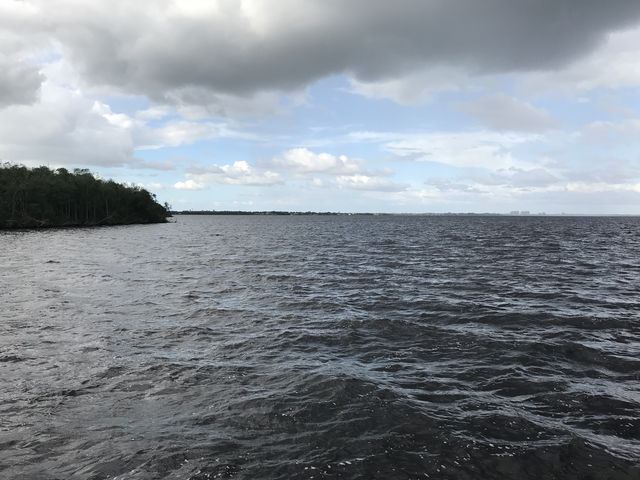 A quarter mile into the hike, a trail branches off to the left, crosses a tidal creek, and moves out onto the Caloosahatchee River for grand views across the water toward Fort Myers as well as the thick wall of red mangroves ringing the near shore. The trail then continues north to a dead end at Lost Pond, accessible only by kayak. Retrace your steps, then head southeast through the mangroves, leather ferns and rushes to a cluster of dead trees, hit by lightning, and a sprinkling of coffee trees. As the boardwalk ends, it one more time ventures out onto a pier overlooking the Caloosahatchee near the Midway bridge. Then the trail shifts westwards towards the trailhead, a gravel and shell path now, bordered by a variety of different trees, including live oak, turpentine tree, palm, and ficus. It spills out onto the access road just east of the memorial.
Enjoy this hike? Let us know in the comments below!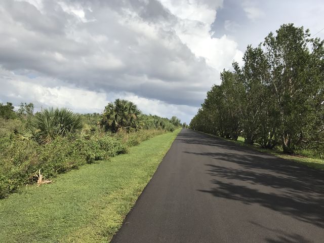


© 2016 – 2017 NaughtyHiker. All rights reserved. No duplication without permission.
Interesting. A little different from the Pacific Northwest.
Sure is. 90 degrees and 90% humidity—won’t find that in the Inland Northwest in the middle of October …