- Coeur d’Alene Mountains
- At Coal Creek trailhead and on Graham Ridge
- Trail was recently maintained
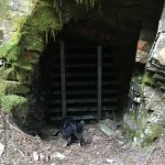
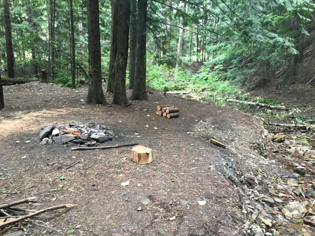
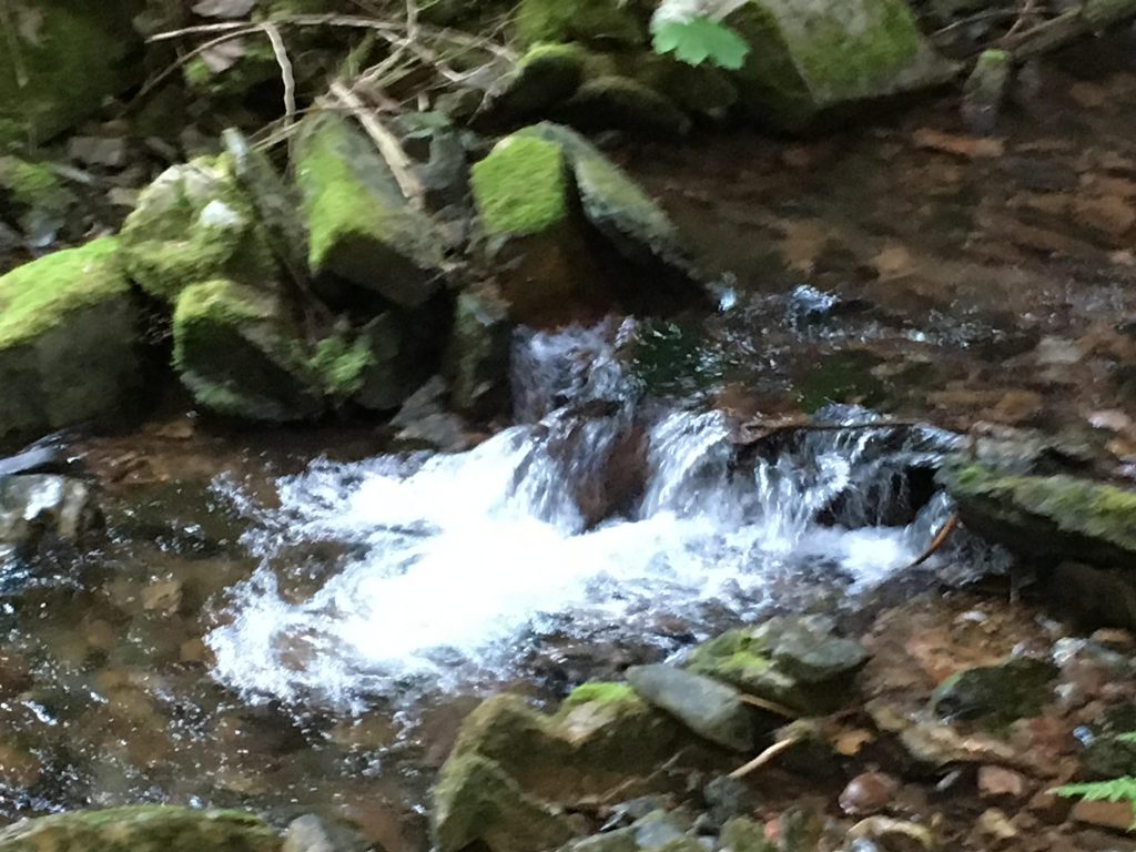
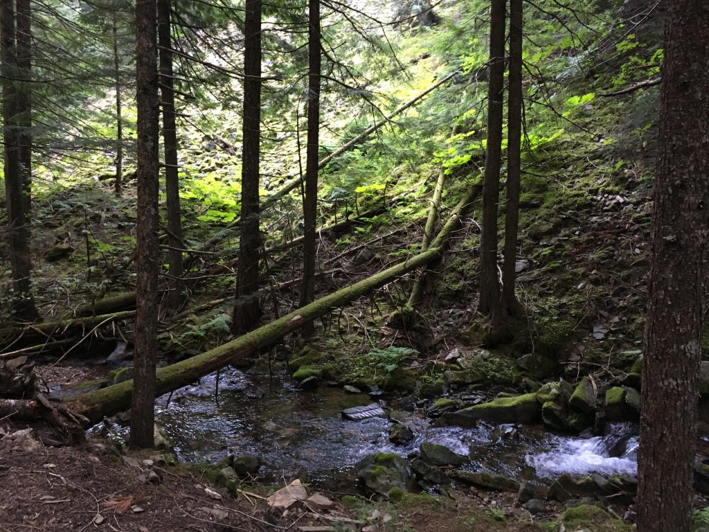
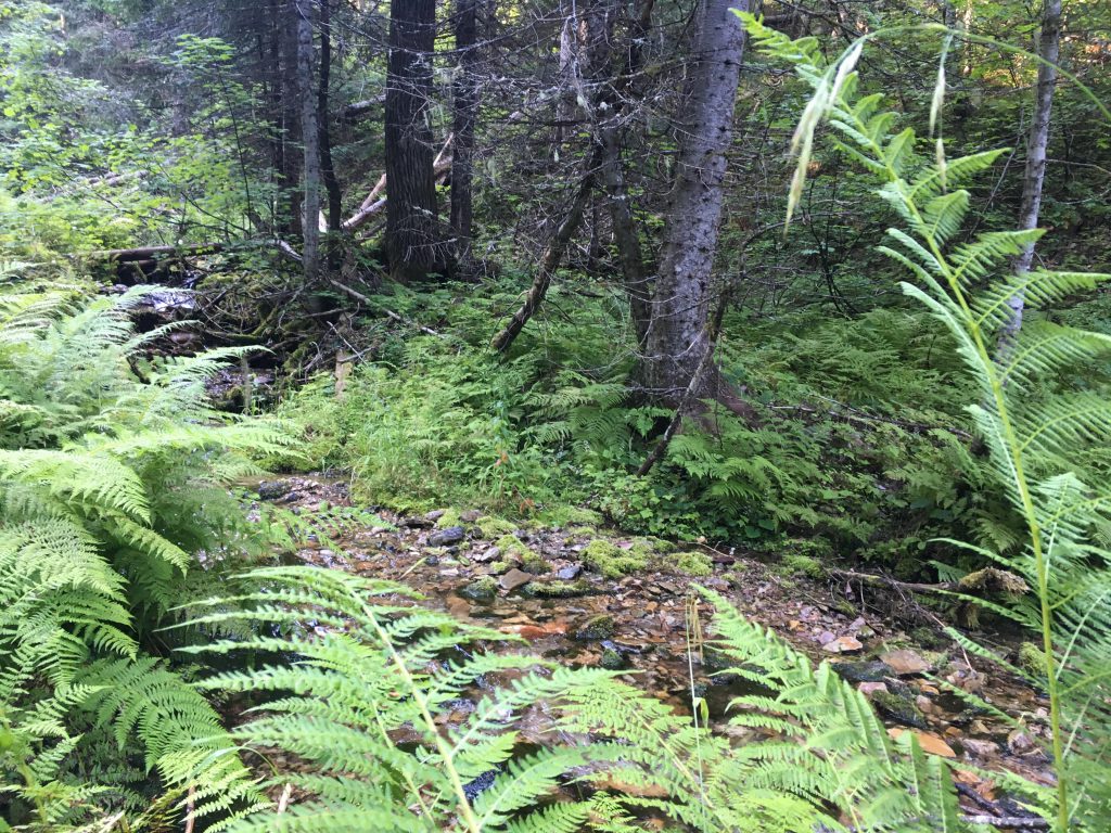
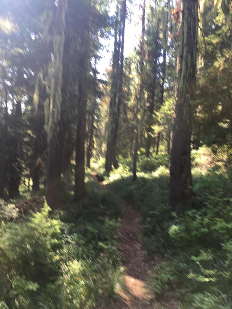
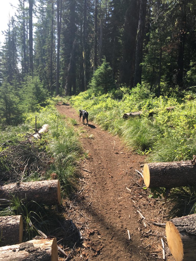
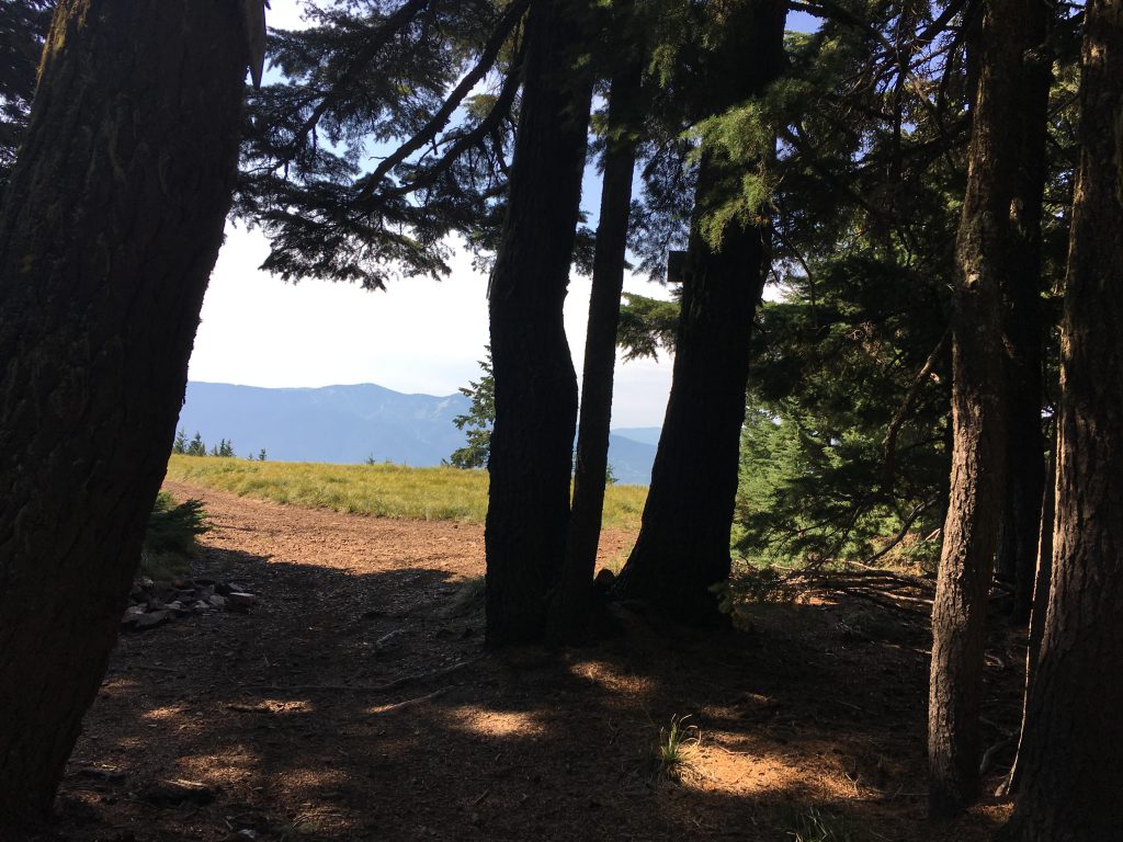
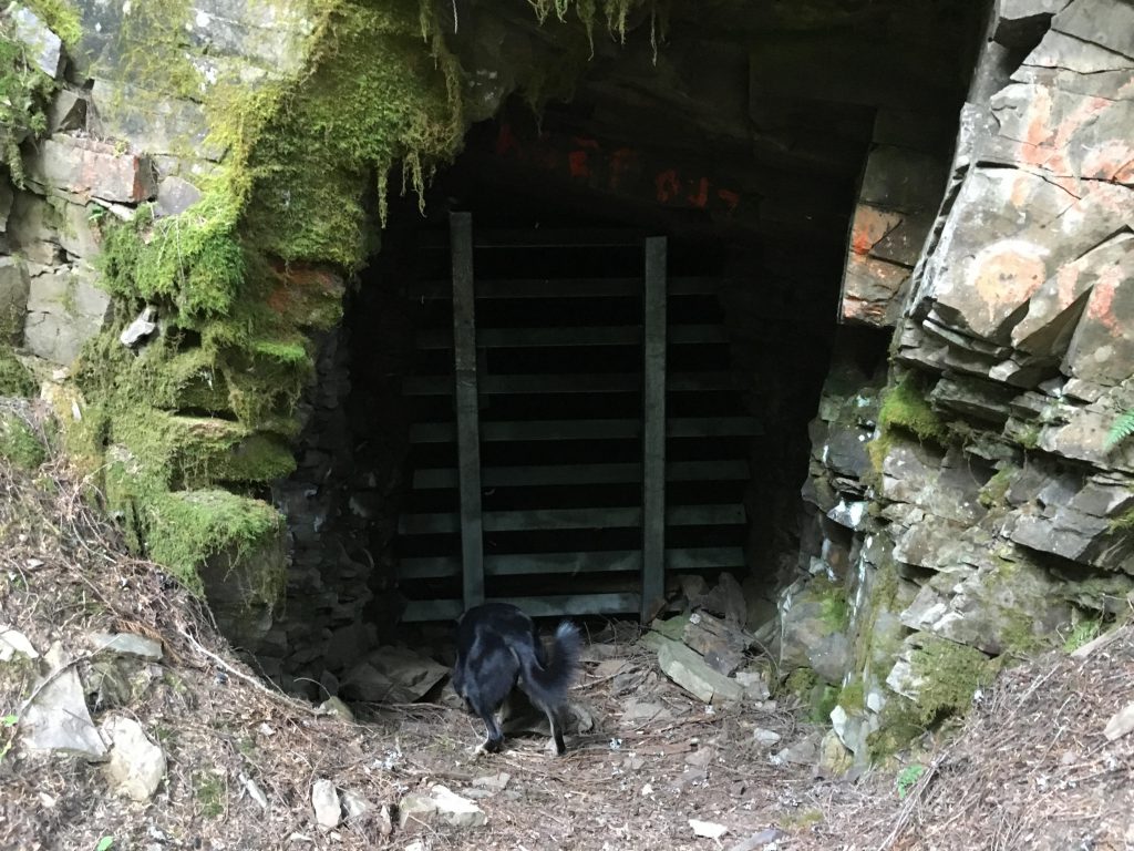
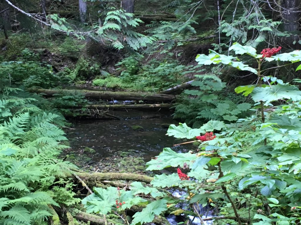
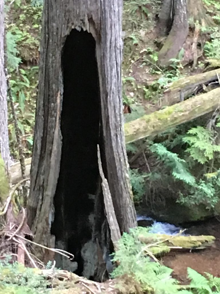
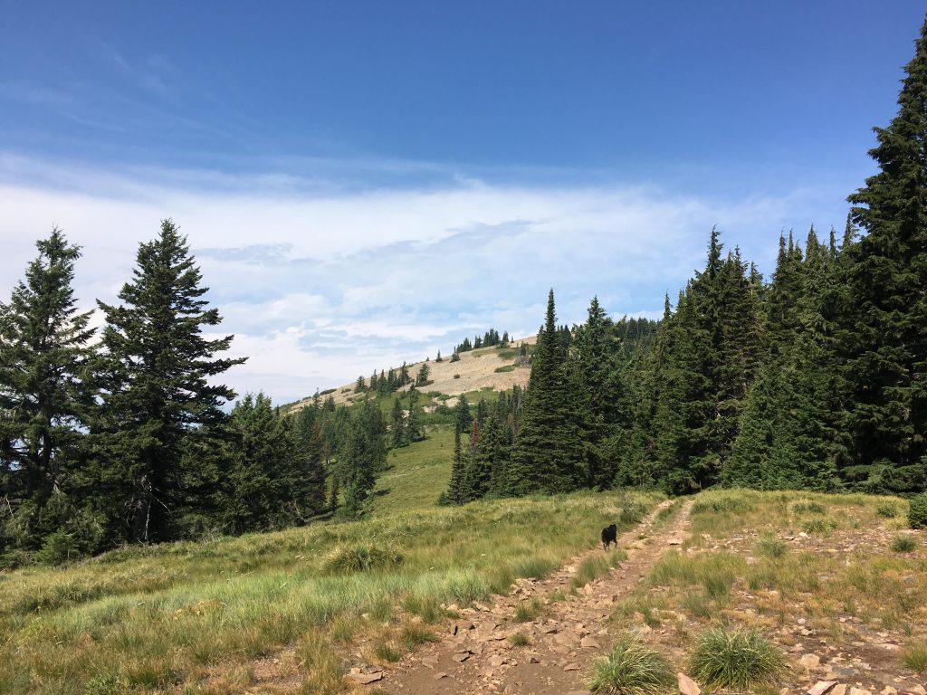
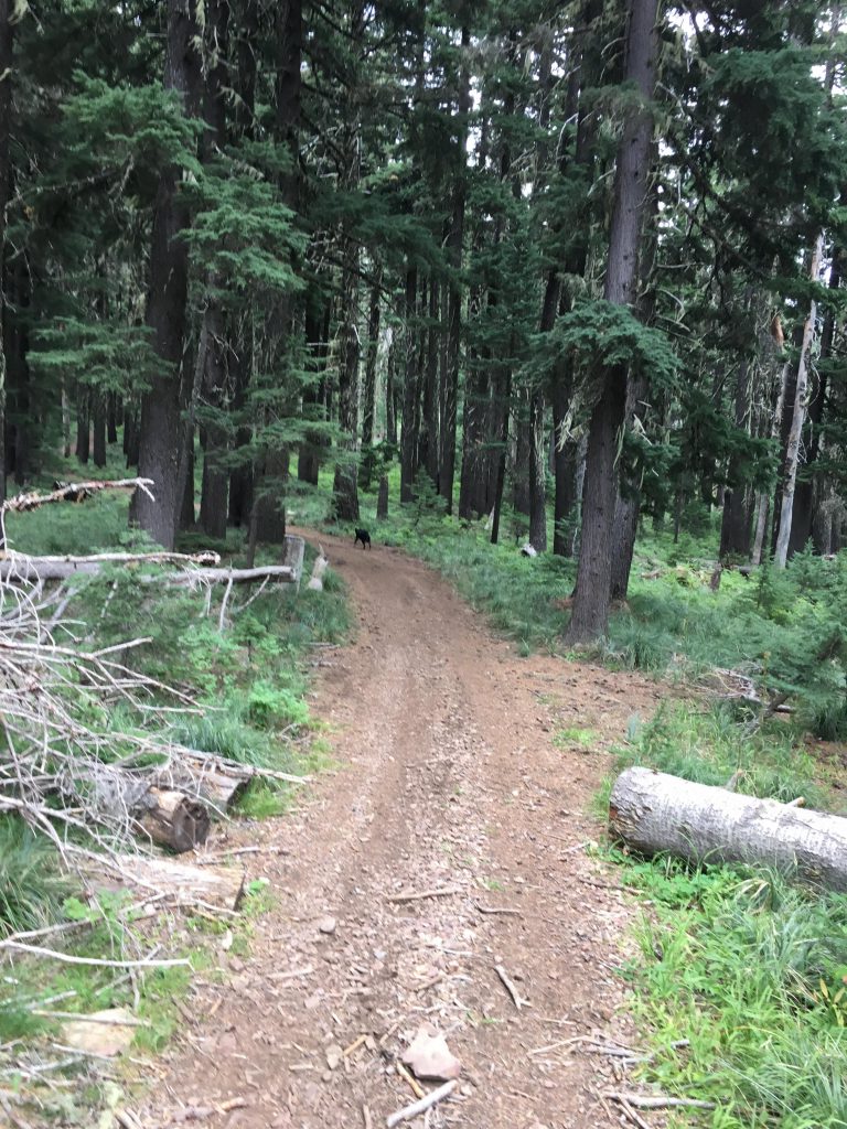
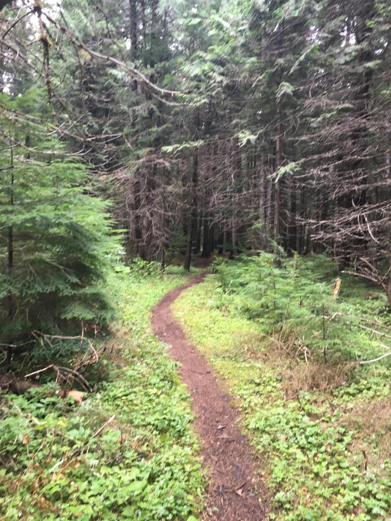
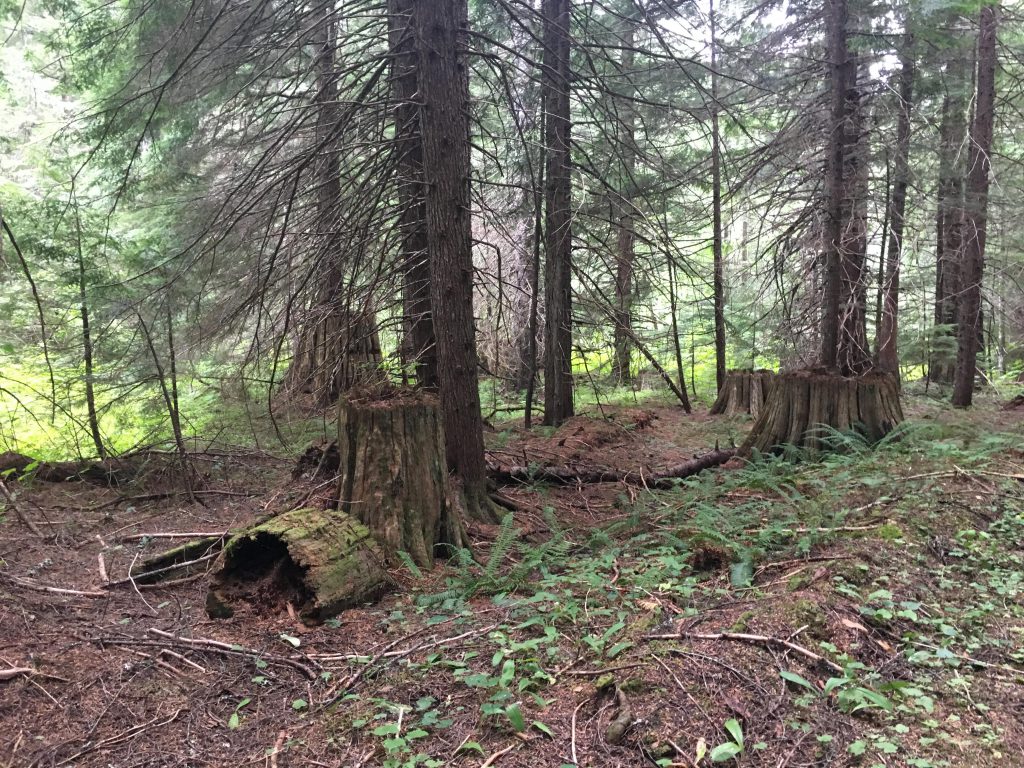
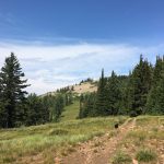
For the first third of the hike, trail #41 parallels Coal Creek, smothered in ferns and mosses. The hike is pleasant along the cascading and bubbling brook, with the dense tree canopy shielding the hiker even on hot summer days. A short way in, a barred mine is visible to the right. The path climbs steadily, crossing the creek to the left side, and then veering away from the brook. The climb continues, but shortly after the two-mile mark the trail once again approaches the creek. This is the time to fill up water bottles–unless hiking in spring, there won’t be another water source until you reach Graham Creek shortly after the eleven-mile mark! The trail climbs the side of the hill at a steep angle, gaining 1000 feet easily within a mile. Up on the ridge, there is a path leading to the left; don’t take it. After the steep ascent the trail is rather flat, crossing the ridge to the turnoff to the Graham Connector trail. If you don’t want to do the entire loop, or are short on water, take a left and the Connector will guide you down to Graham Creek. Otherwise, take a right and up the ridge again, the lush forest of Coal Creek replaced with larch, pine and fir allowing for filtered views of the surrounding mountains. The trail ascends steadily, though not quite as steeply as coming out of Coal Creek, and emerges out onto a vast meadow.
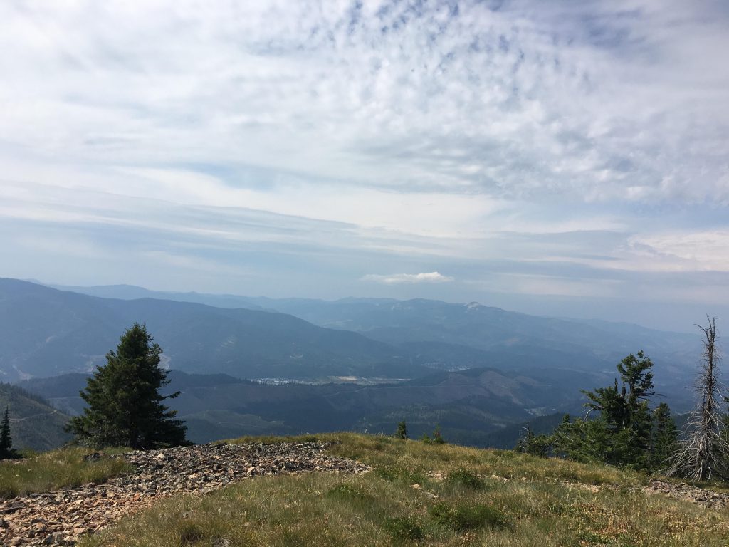
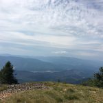
There are plenty of campsites here, both out on the meadow and in the shaded woods. The trail to the mountaintop heads right and switchbacks across a talus slope to the top of Graham Mountain. Graham Mountain, at 5,727 feet, presents outstanding and unobstructed views of the surrounding mountain ranges and the Coeur d’Alene River valley.
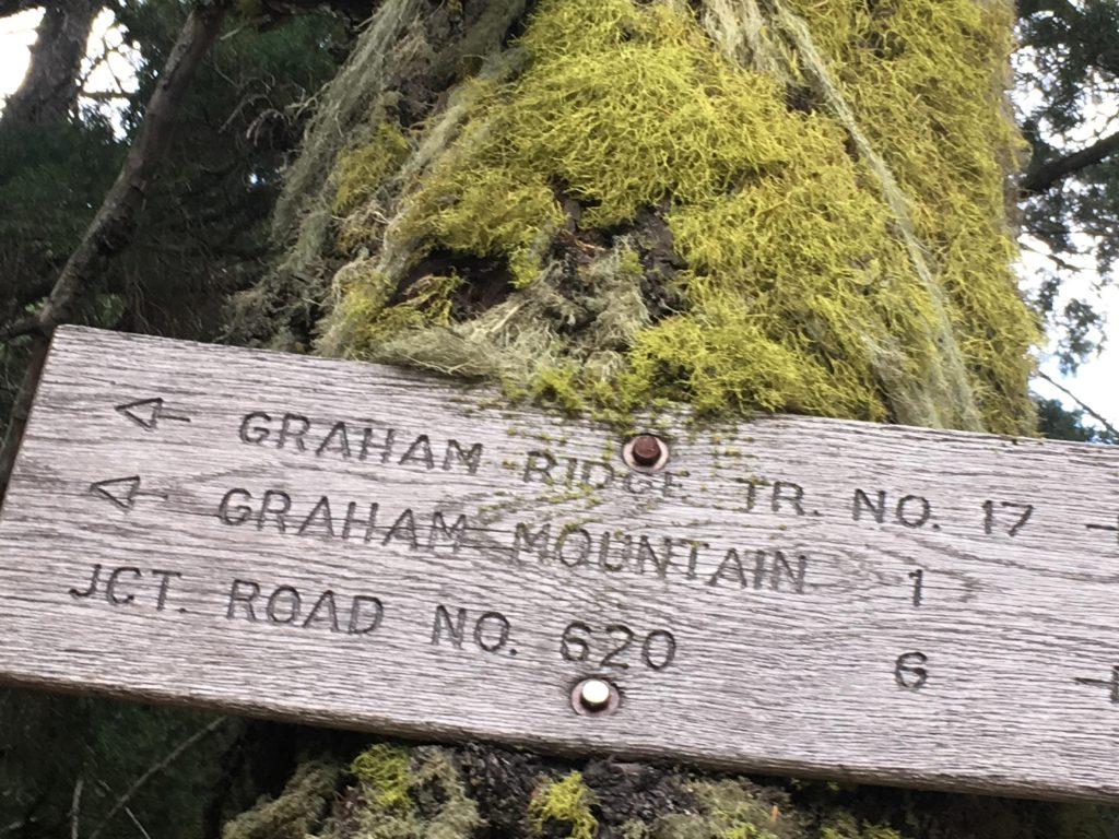
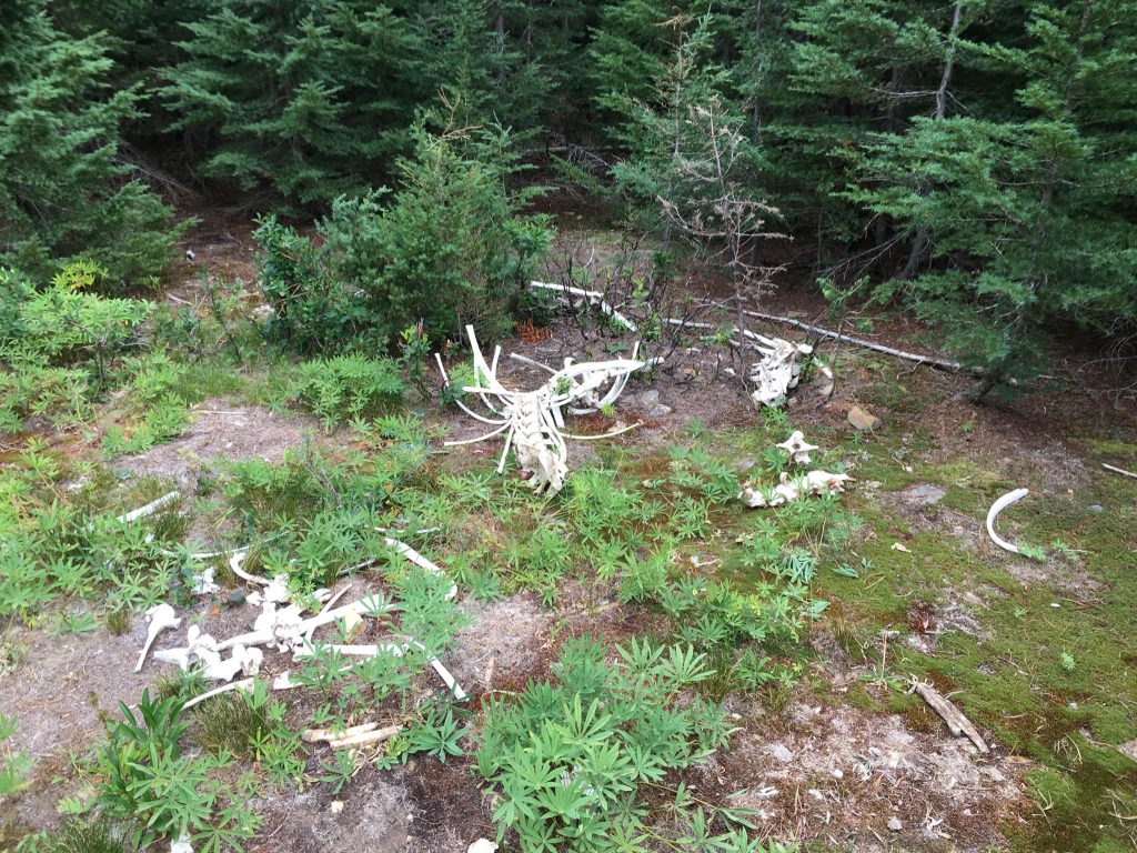
There are opportunities to camp here as well, among the ruins of a lookout tower, though it can be windy. Retrace your steps to the meadow and continue on, past the Coal Creek trail, onto trail #17, Graham Ridge. This is a very pleasant ridge hike, at first a twin-track and later a single-track. The meadow is absolutely breathtaking, even though the wildflowers and the beargrass are past their prime in August. The ridge extends for about another six or seven miles and leads to a fork to Graham Creek trail #33. Swing a left for a gradual descent to Graham Creek, similarly lush as Coal Creek, although featuring far fewer red cedars. Judging by the stomps, there were plenty a long time ago. Take a right when you meet up with the Graham Connector trail, and over a thick carpet of mosses the path leads more or less flattish to FH-9.
Unfortunately, the return to Coal Creek, about two miles, is along the road, a very busy one, with a choice of fighting for a piece of roadway or hiking atop a buried petroleum pipeline….
Alternate Routes
Things to Consider
Not so great