Bobtail Ridge

Used mostly by hunters, trail #598 hugs East Fork Lost Creek closely for 3 miles and then commences a steep climb up to Bobtail Ridge. Don’t expect grand views, but a generous sprinkling of mushrooms and spring flowers along the way and the insistent curious buzz of a gorgeous red-throated hummingbird make up for a lot!
Location
  • Coeur d’Alene Mountains
Rating
2.8 out of 5
Difficulty
Moderate (fording and crossing; uphill hiking)
Distance
9.2 miles
Duration
4:15 hours moving time (Hiking)
Elevation Gain
2,327 feet
High Point
4,785 feet (Bobtail Ridge)
Low Point
2,480 feet (Lost Creek)
Features
  • Grove
  • Meadow
  • Mountain
  • Rock Formation
  • Outing Type
  • Daytrip
  • Trail Type
  • Out-and-back
  • Trailbed
    Packed dirt, loose rocks
    Trail#
    598
    Water
  • East Fork Lost Creek and tributaries
  • Camping
    • Dispersed car camping at the trailhead
    Conditions
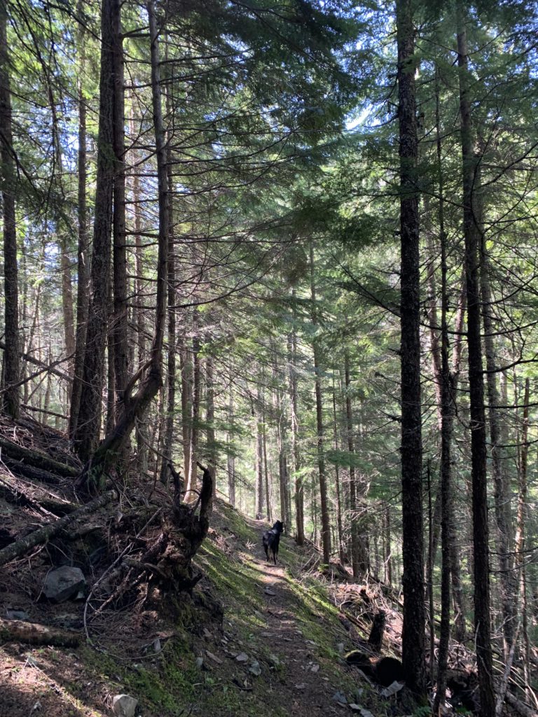
    • Pretty good, especially given the “primitive” designation
    • Tread is narrow on steep hillsides
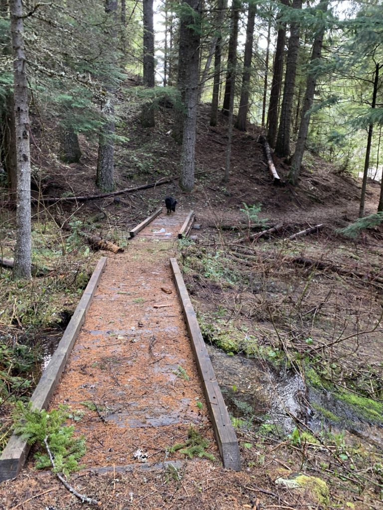
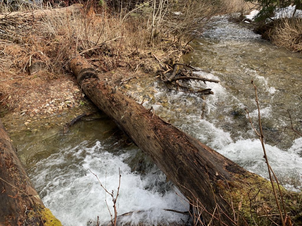
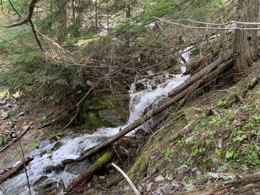
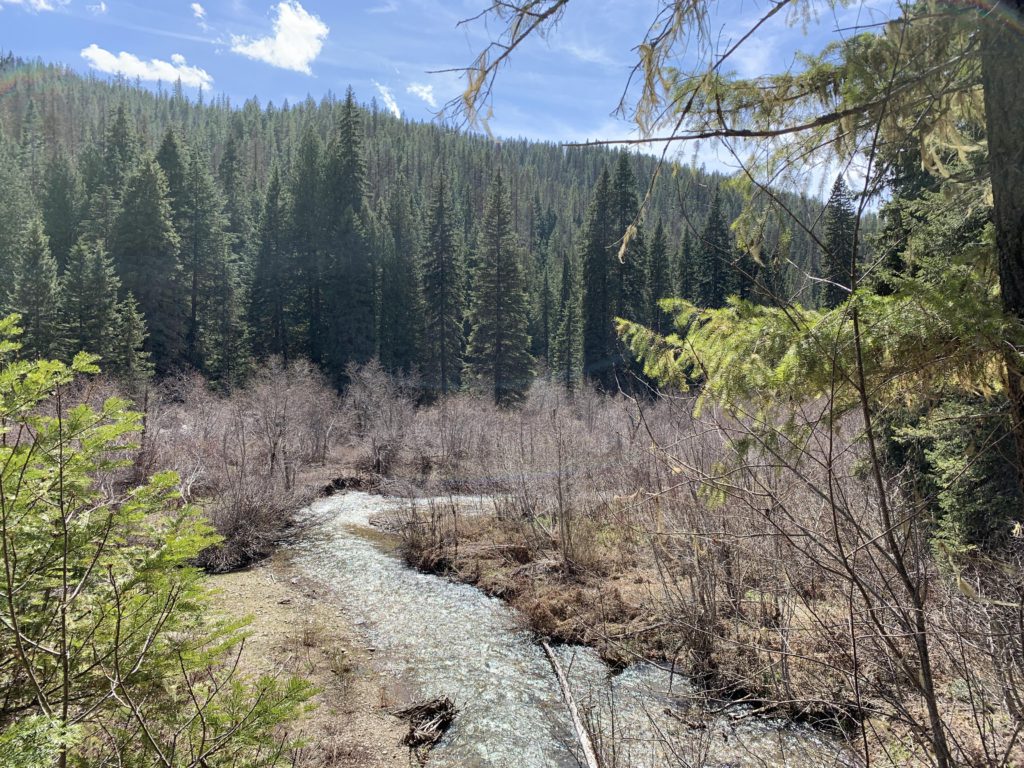
    • The bridge across Lost Creek washed out
    Administration
  • Coeur d’Alene National Forest
  • Status
  • Unprotected
  • Maps
    USGS
  • Prichard
  • Murray
  • Fees & Permits
  • None required
  • ()
    Open To
  • Hikers
  • Dogs
  • (not recommended for horses)
    Directions
  • From I-90 take the Kingston exit (#43) and head north on FH9 past Prichard, at which point the road turns into FR 208. Take a right onto FR 442 shortly after a picnic area and a few scattered cabins, Lost Creek Resort. If you reach Shoshone Base Camp you’ve gone too far. Keep going on gravel road 442 for about a mile to a popular dispersed campground. The trailhead is marked, on the right, with parking for a couple of cars.
  • Season
    Year-around
    Resources
      Date
      April 26, 2020

      Our intent on this day was actually to hike Devil Peak, but still 20 miles from the trailhead the snow on FH-9 became quite deep and the road was littered with downed trees, reducing it to one lane. Searching for Plan B, we backed up to the Lost Creek trailhead, having hiked the Lost Creek Ridge trail to Stateline years ago. Elevation-wise, that was out of the question on this day, as we brought neither traction devices nor snowshoes.

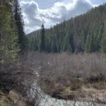
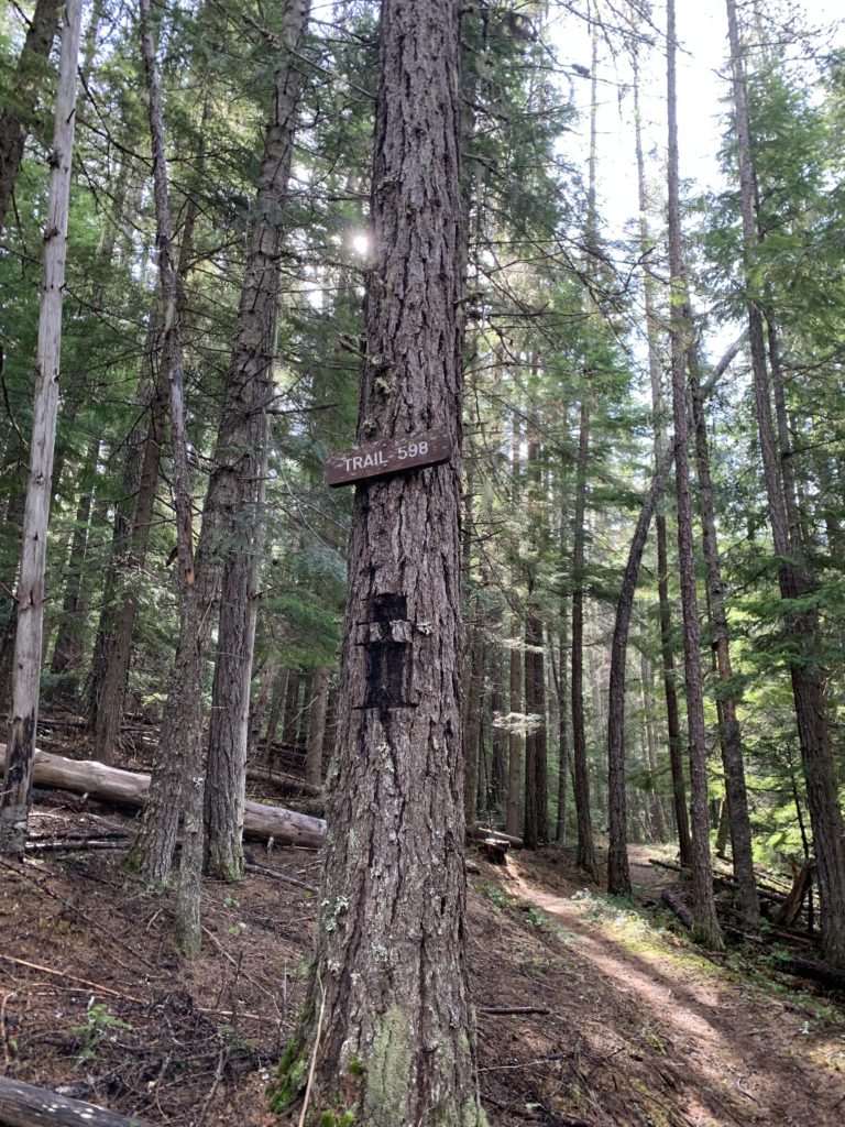
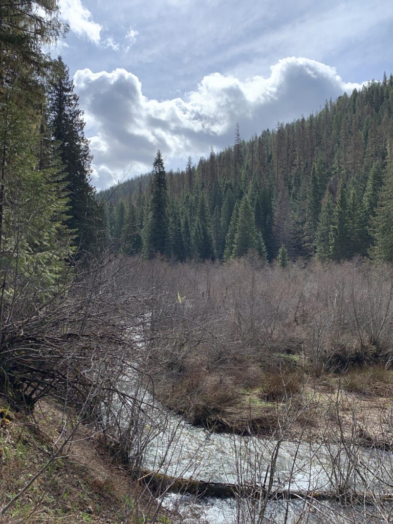
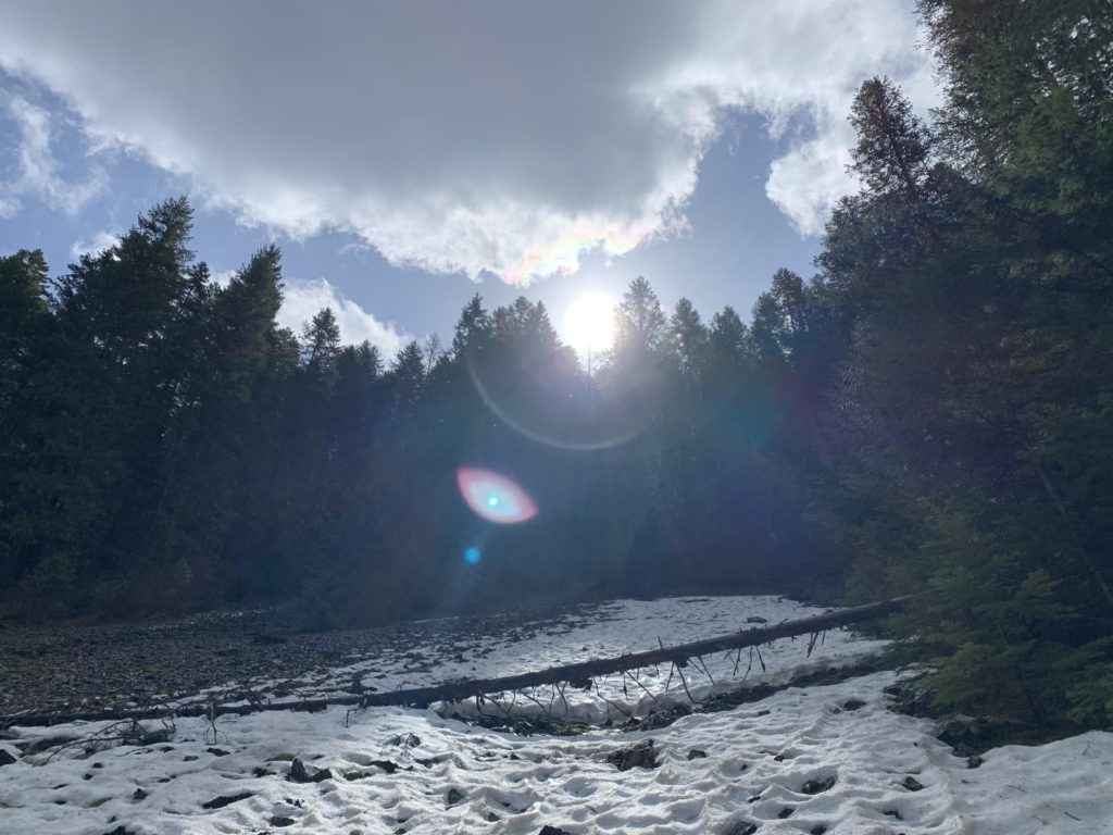
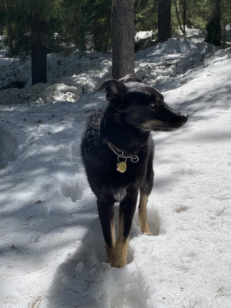
      The first obstacle on this route was crossing Lost Creek. Fondly we remembered the handy log that crossed it, only to discover it gone. Thus, the trek started out barefoot, with a chilling creek crossing. On the far side, the trail lifts off the creek bottom and quickly forks, the left, #502, rising continually, while the right, #598, moves along the flank of Lost Creek Ridge.

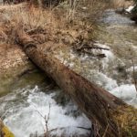
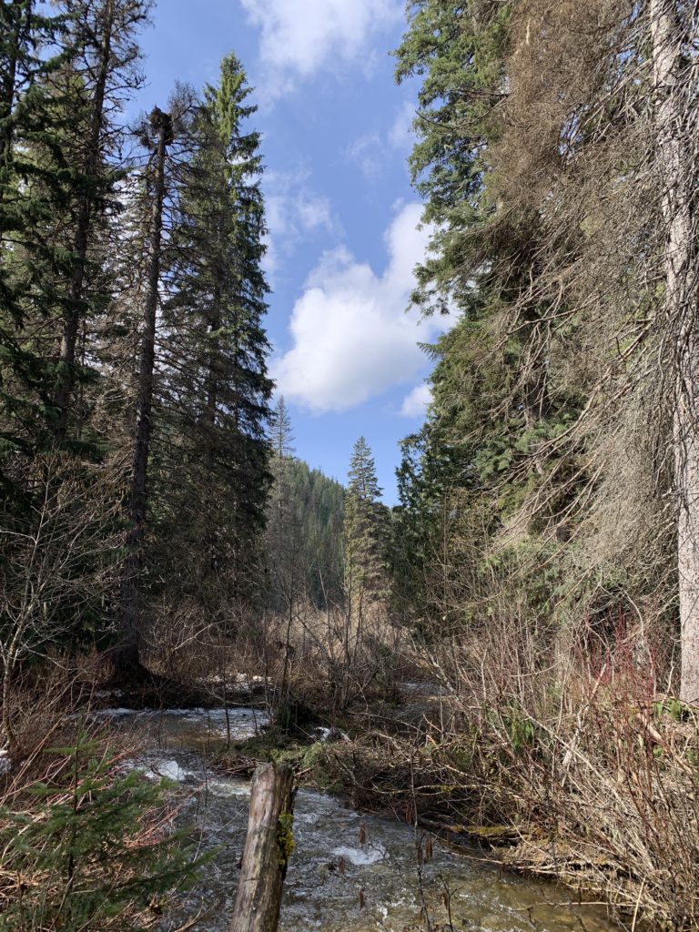
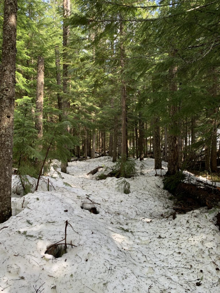
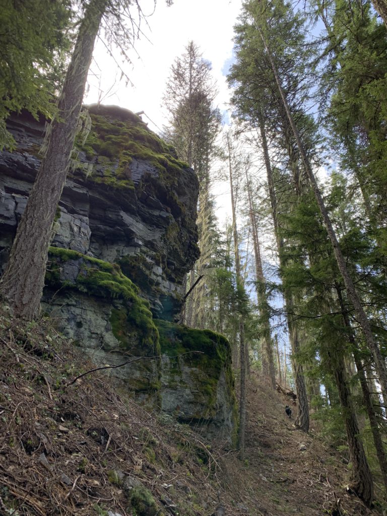
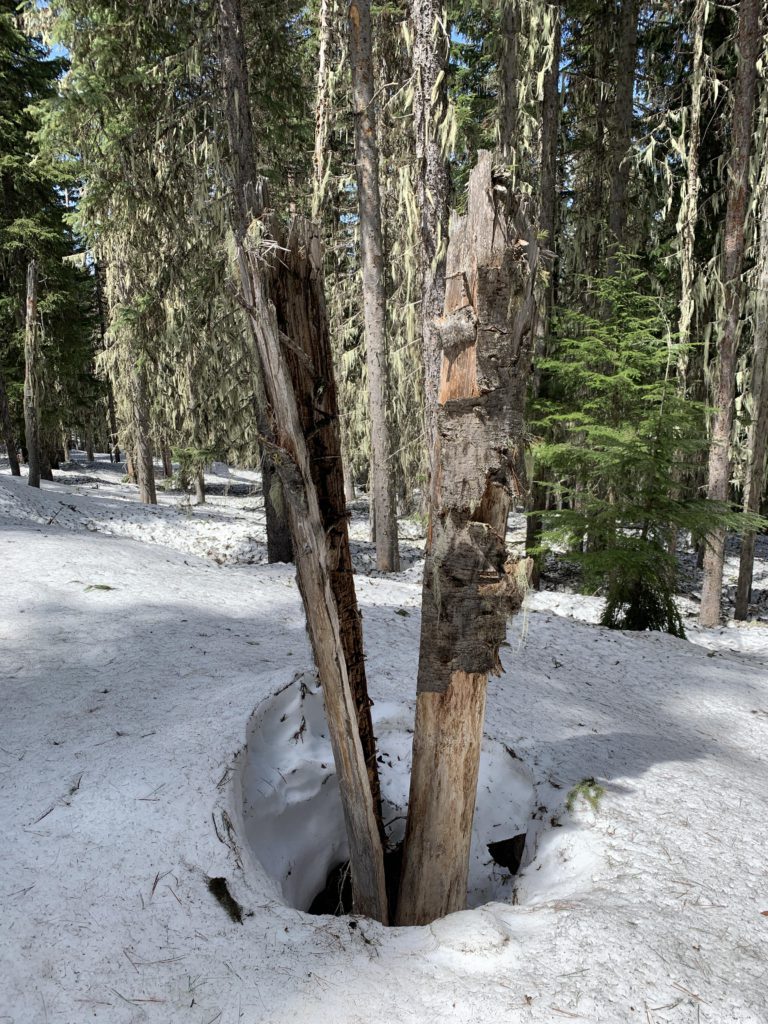
      That trail, labeled primitive, was in surprisingly good conditions, albeit with a narrow tread on some of the steeper hillsides. It was recently sawed out and trimmed. Near the 2-mile mark, the trail crosses the creek, which is accomplished by means of 2 slick downed logs. A large fallen tree makes that location quite inaccessible, so persevere; it is the right spot.

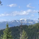
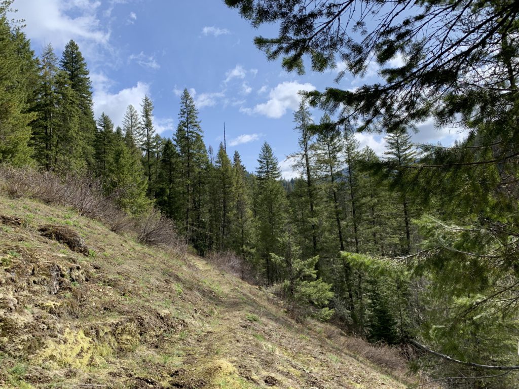
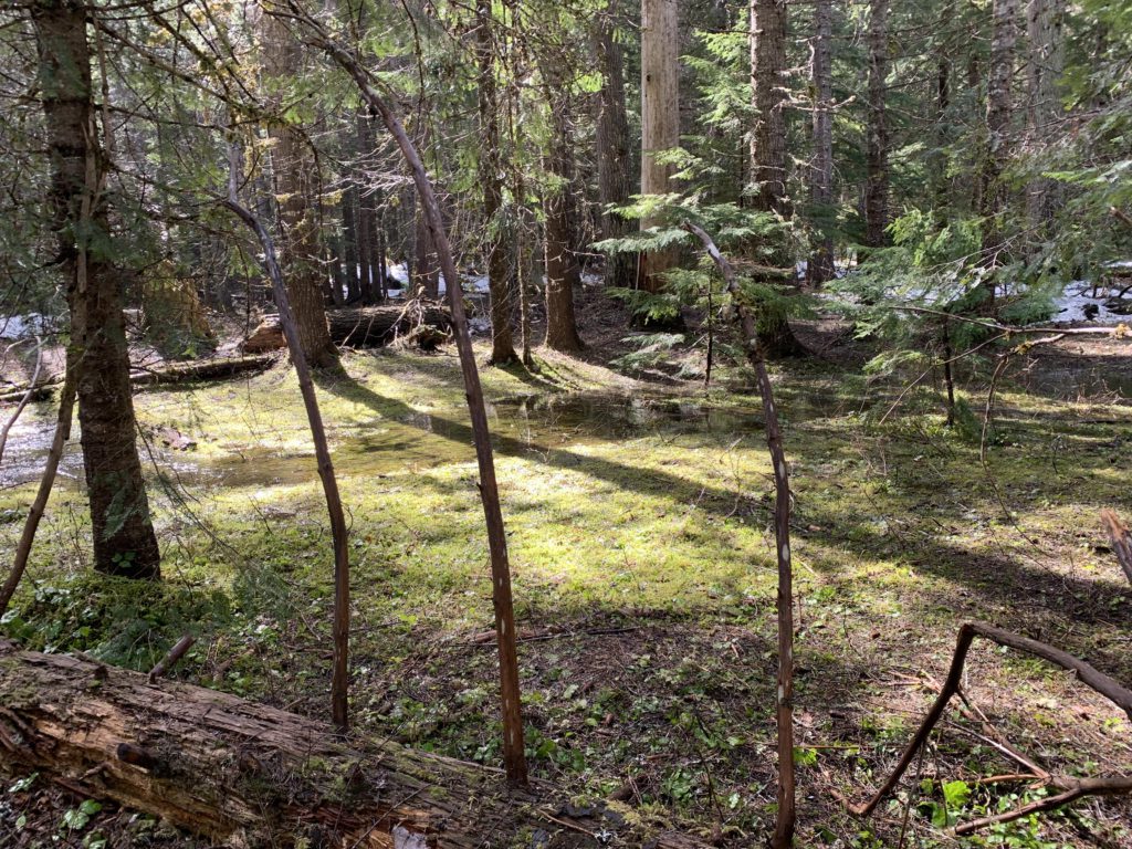
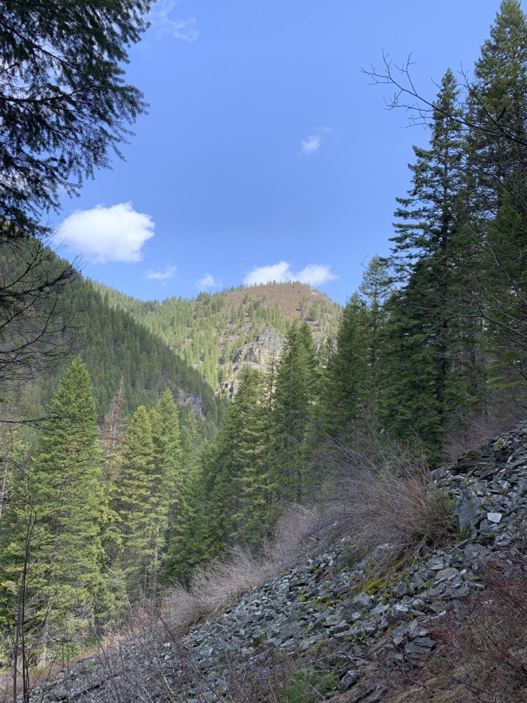
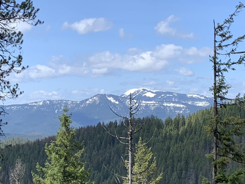
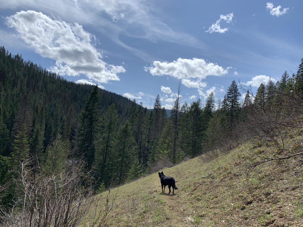
      On the far side, the trail winds through pleasant (though soaked, at this time of the year) forest, staying a bit above the creek bottom, for another mile. Then it moves sharply away from the creek and climbs the ridge head on, in sweeping switchbacks. As the elevation approaches 4000 feet, the forest opens up near impressive rock formations and provides limited views of the Coeur d’Alene Mountains.

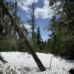
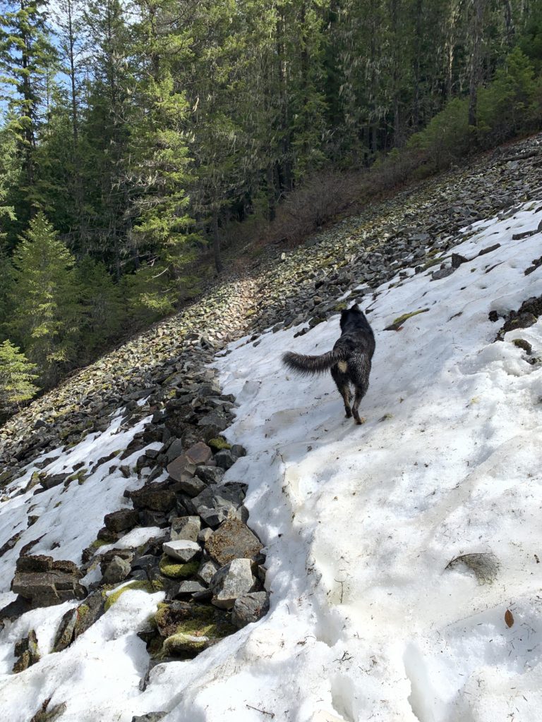
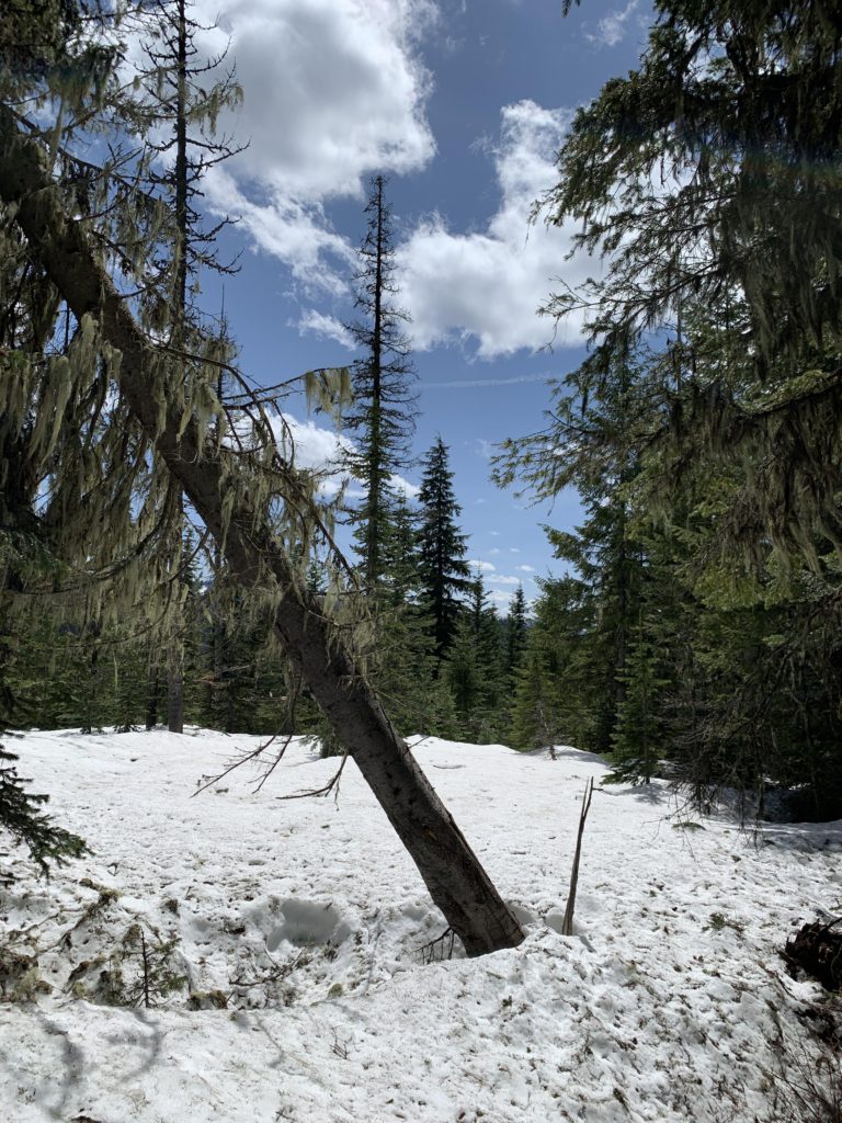
      Continuing on, the snow quickly got deeper and at some point we lost the trail as it approached an unnamed creek. The snow was several feet deep, so we decided to climb the ridge head-on. The top was rather anticlimactic, as it is entirely hemmed in by trees. We poked around for a bit longer, but finding nothing other than trees and snow, returned.

      Alternate Routes

      • The Lost Creek trails start at the same trailhead
      • From Bobtail Ridge you can connect to Bobtail Ridge Road, where you could park a shuttle car

      Things to Consider

        Not so great

          The start of trail 598
          One of many steep mountain meadows
          East Fork Lost Creek
          There is even a stretch of boardwalk on this “primitive” trail
          East Fork Lost Creek needs to be crossed once on these logs
          East Fork Lost Creek
          Moss-covered creek banks
          A snow-covered talus slope on the way up
          Some clouds, but the weather remained good
          You can kind of guess where the trail was, but higher up, where the snow was several feet deep, it became impossible
          Looking towards stateline ridge
          An unnamed brook, which the trail approaches several times during the ascent
          Climbing higher beneath rock formations
          View into the Coeur d’Alene Mountains. The best views are from a large rock on the way up
          Naughty hunting for the trail buried beneath snow
          Black bear print
          Bobtail Ridge. Not much of a view
          Naughty enjoying the snow
          A decaying tree stump near Bobtail Ridge
          The trail had received recent care
          Mushrooms popped up everywhere
          The first harbinger of spring
          East Fork Lost Creek
          Naughty looking back towards the trailhead