- Coeur d’Alene Mountains
- There are several campgrounds
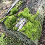
- Excellent
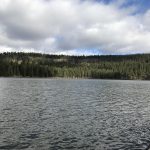
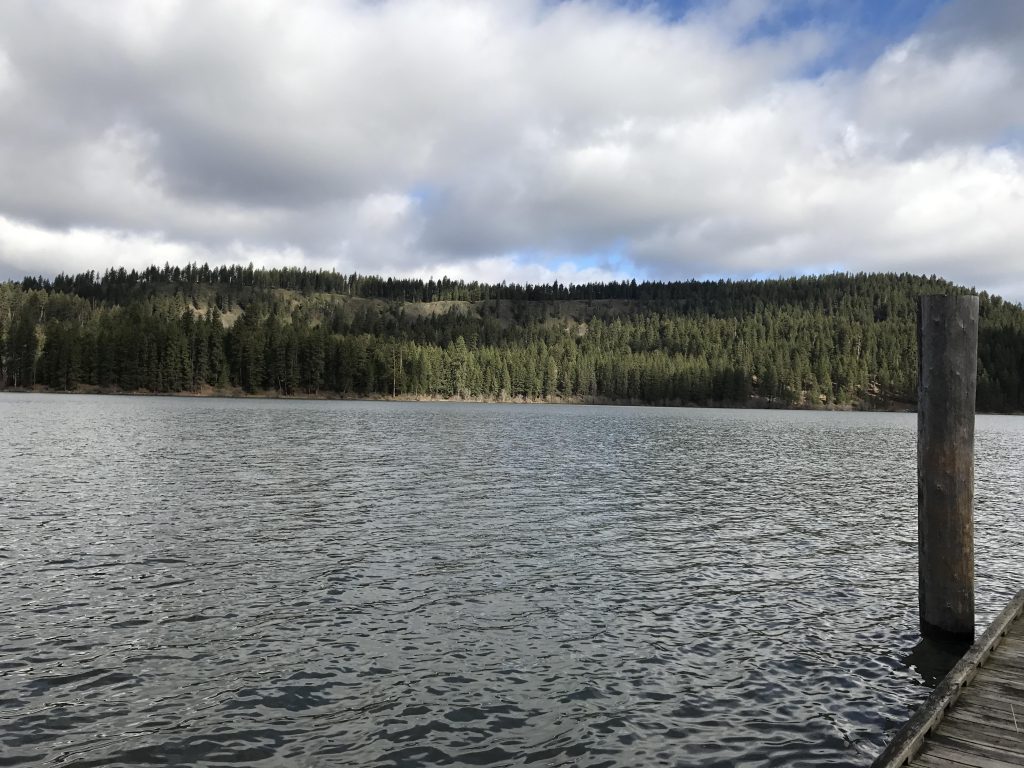
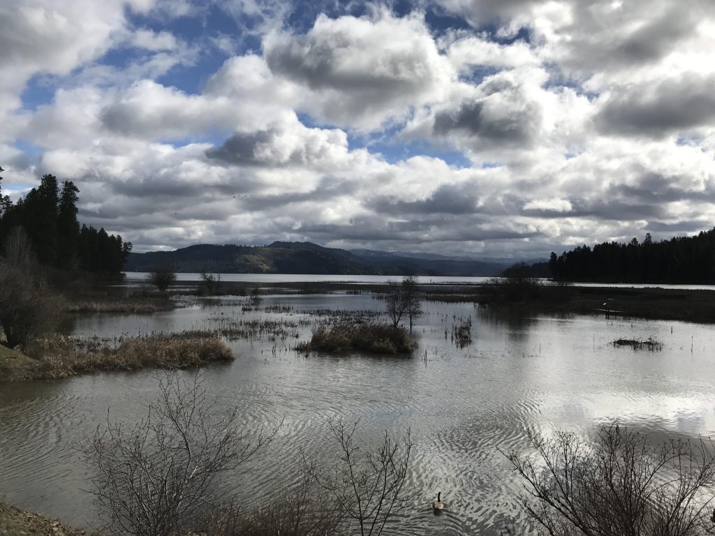
From the visitor center head to the Hawley’s Landing campground and follow the leftmost tent-only spur down to the lake. The path leads across an open area and down to the docks. The docks offer a pretty view of the lake and the Indian Cliffs ridge. The Lakeshore Trail starts out westwards, hugging the lake closely; in fact, it appeared that the high water level flooded the trail in the not-too-distant past. Soon you will be back at the visitor center. Stay on the trail, which bypasses the visitor center and winds through a cedar and fir forest featuring gurgling brooks and frequent views of the lake and its waterfowl.
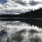
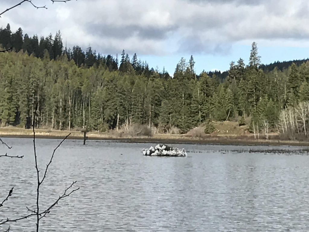
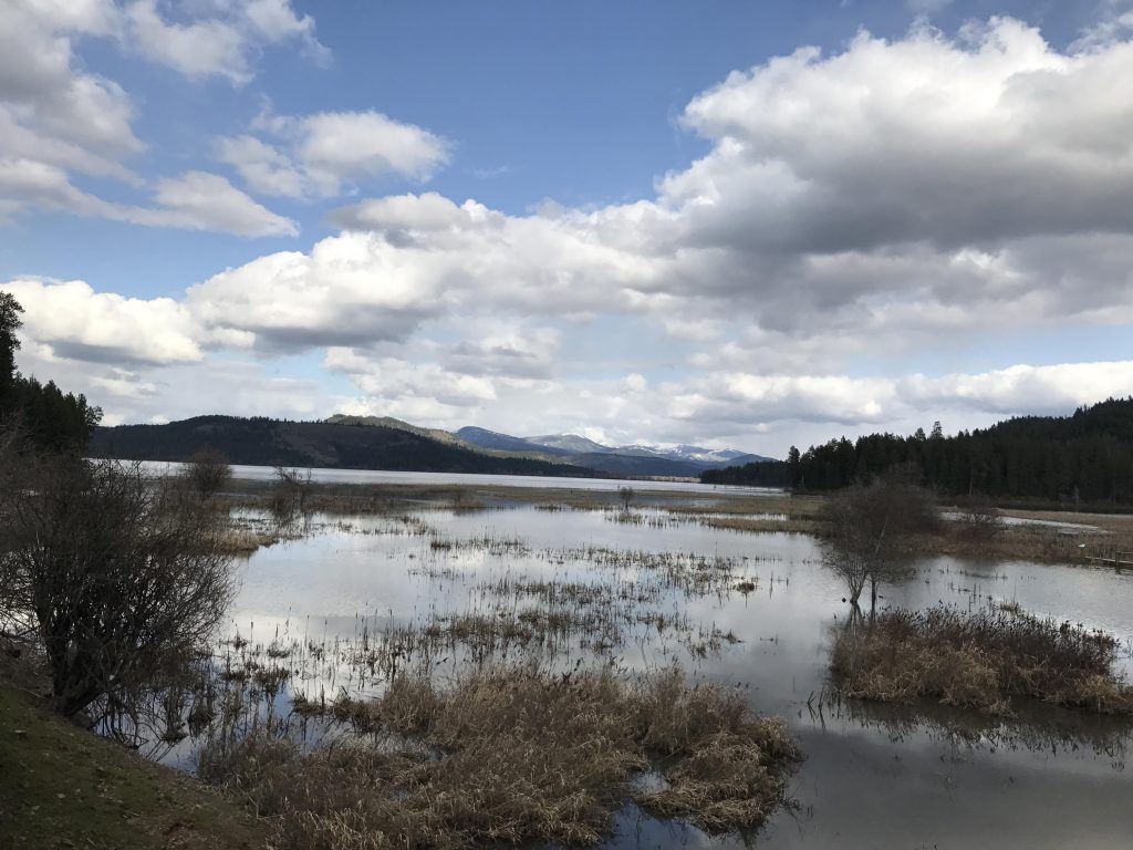
At the 1.5-mile mark you’ll arrive at the Plummer Creek Day Use Area. Make sure to visit the duck blind on the eastern edge and venture out onto the boardwalk leading into the Plummer Creek marsh. Unfortunately it was completely flooded when we visited.
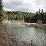
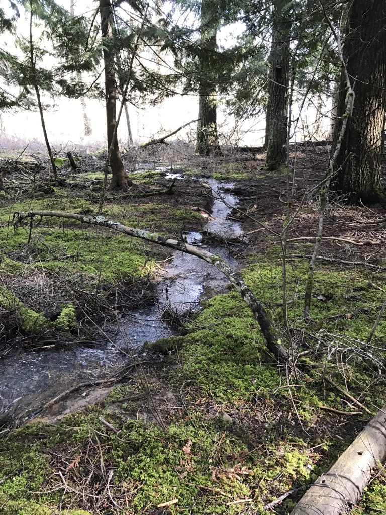
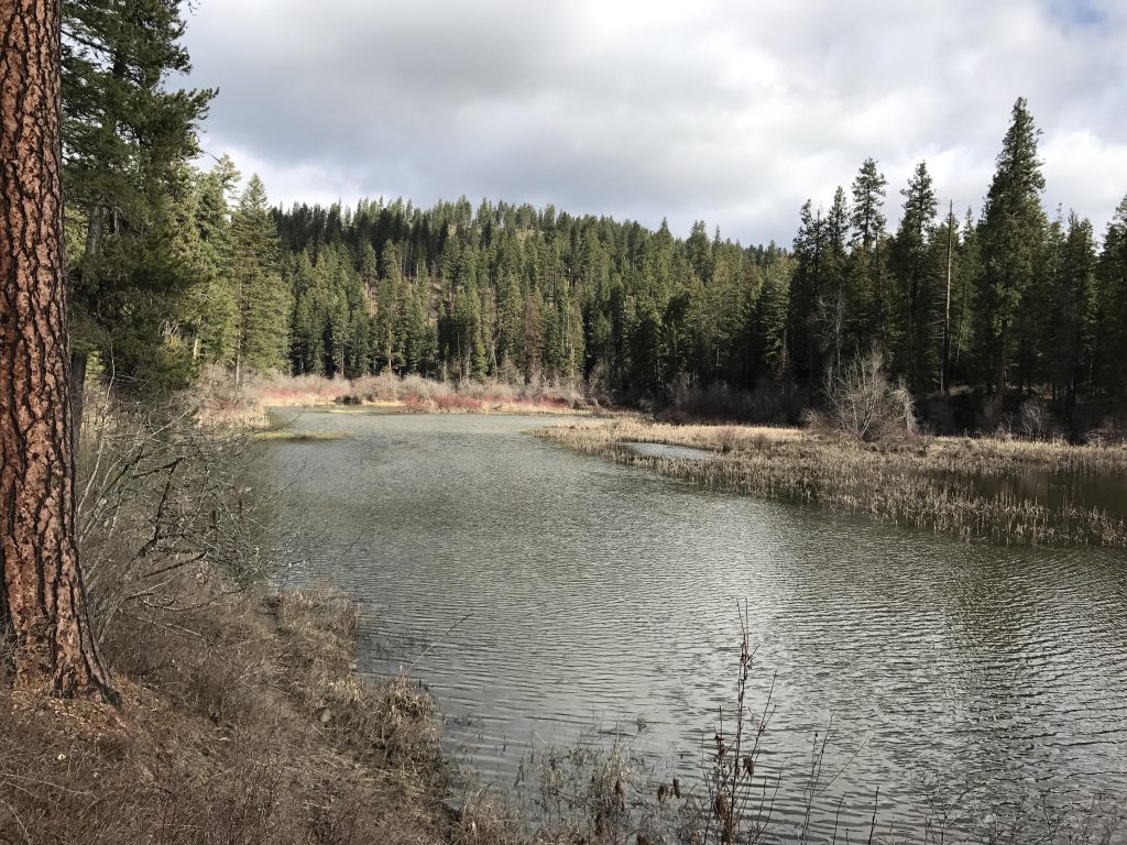
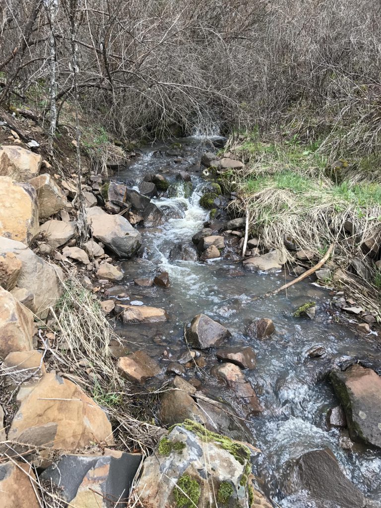
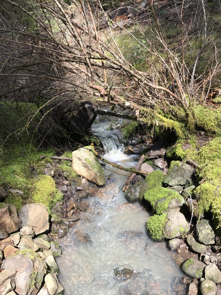
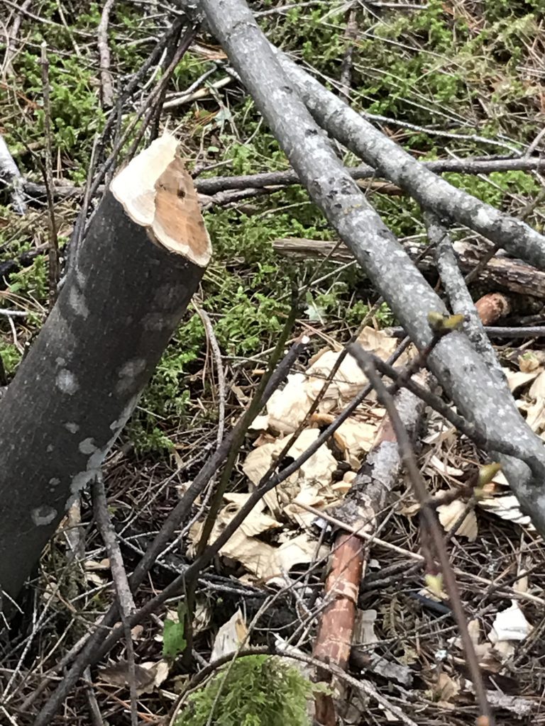
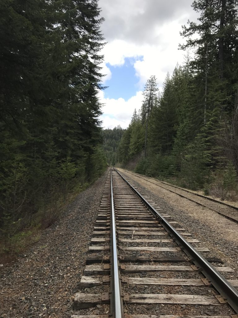
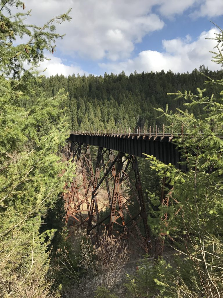
The trail then crosses the main road and meanders along Plummer Creek. You’ll likely come across the work of beavers in this section and many times a beaver lodge can be spotted, but this time we weren’t lucky. Shortly after entering the Plummer Creek trail there is a fork; left leads up through a wastewater treatment area for the return on the Lakeshore trail; going right continues along Plummer Creek, another fork (left again leads to the Lakeshore Loop), where you’ll bear right and cross a bridge across Plummer Creek. The trail then follows the creek in the opposite (eastern) direction, but soon veers off, heads uphill through the woods and crosses the Trail of the Coeur d’Alenes (this is a rail-to-trail from Plummer to Mullan; it makes for nice biking).
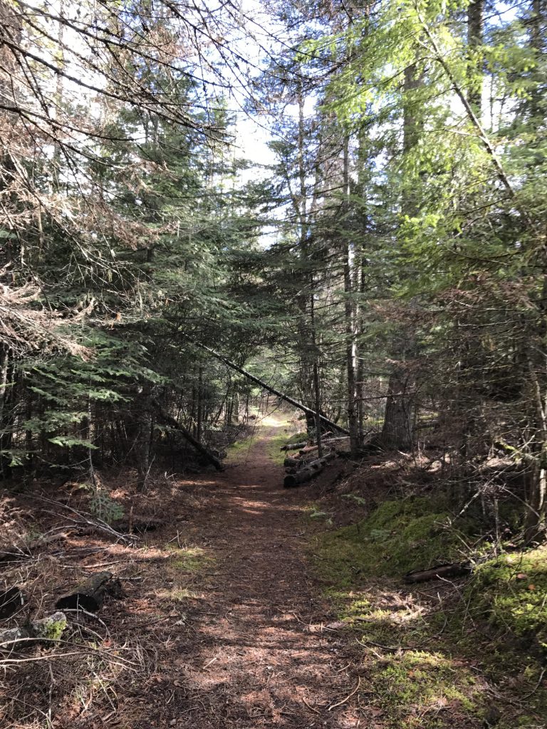
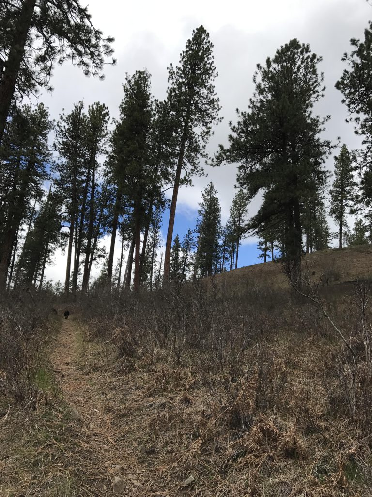
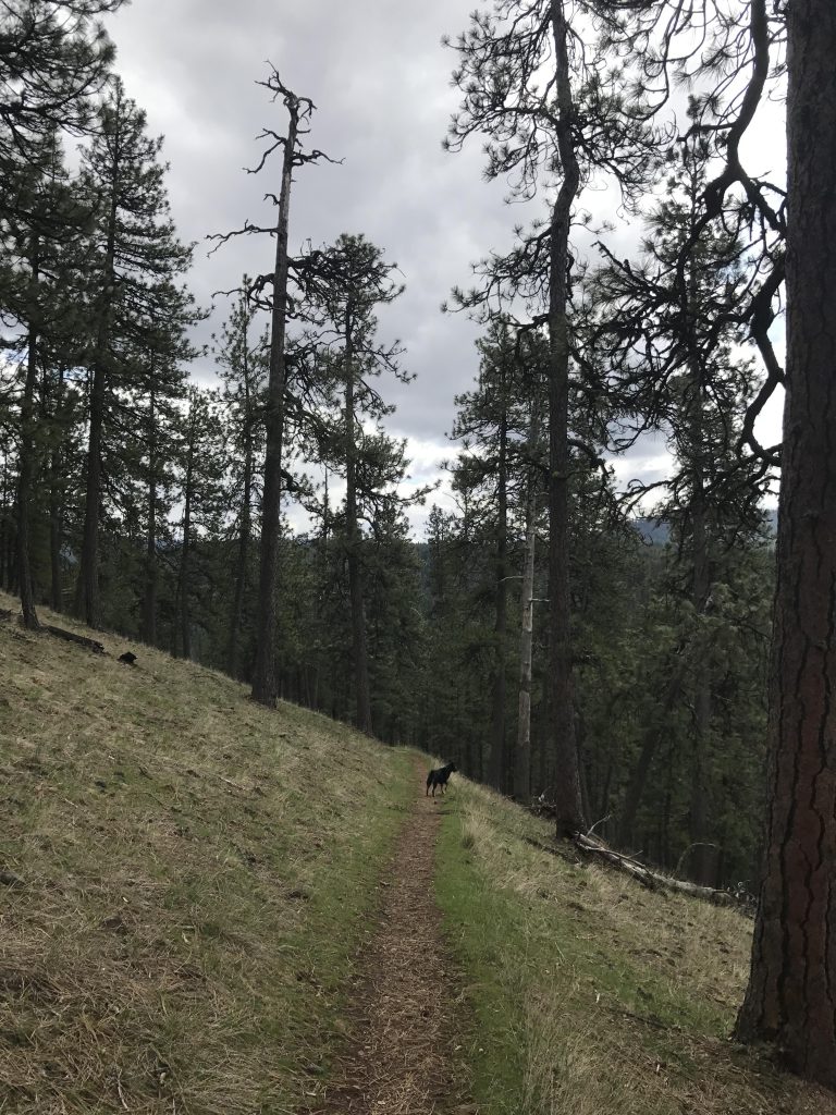
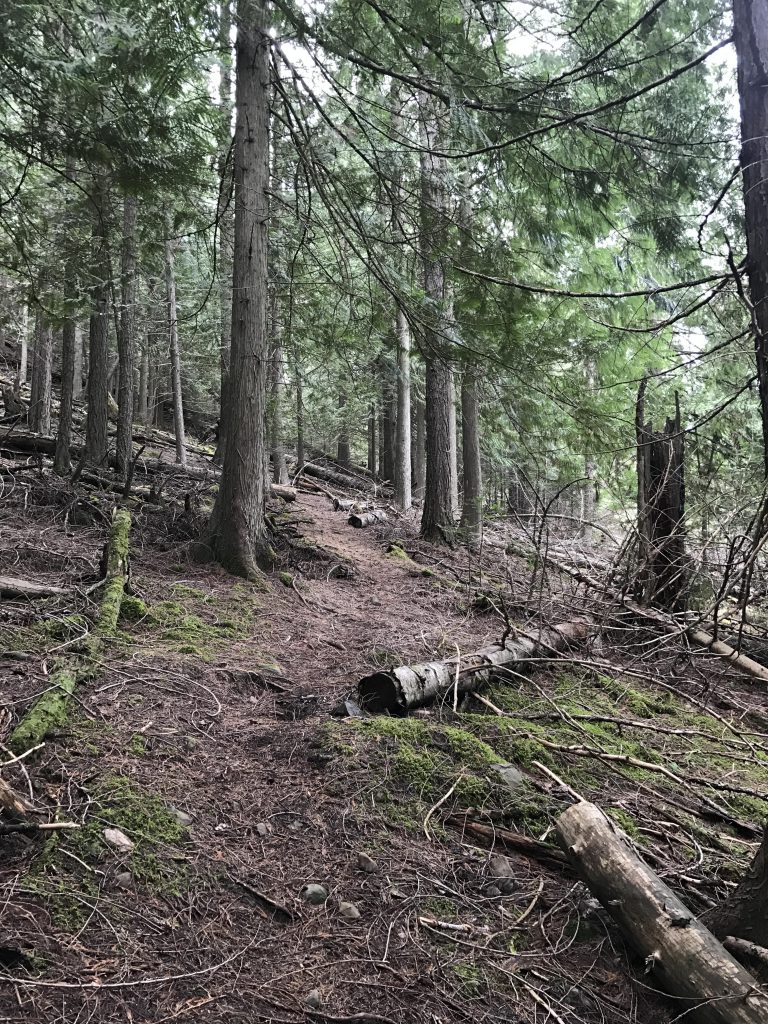
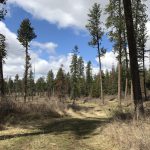
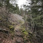
On the other side you’ll find a parking lot and the start of the Indian Cliffs trail. After a quarter-mile through fir and pine forest you’ll come to an intersection. The leftmost and rightmost trails are the opposite ends of the Indian Cliffs loop; the one in the middle is the CCC Nature Trail. Take the rightmost one for a counterclockwise loop of the Indian Cliffs trail. The singletrack heads northeast and is well shaded for the most part with a steady and easy ascent. A bits after the 3-mile mark you get to a switchback and then the ascent begins in earnest.
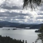
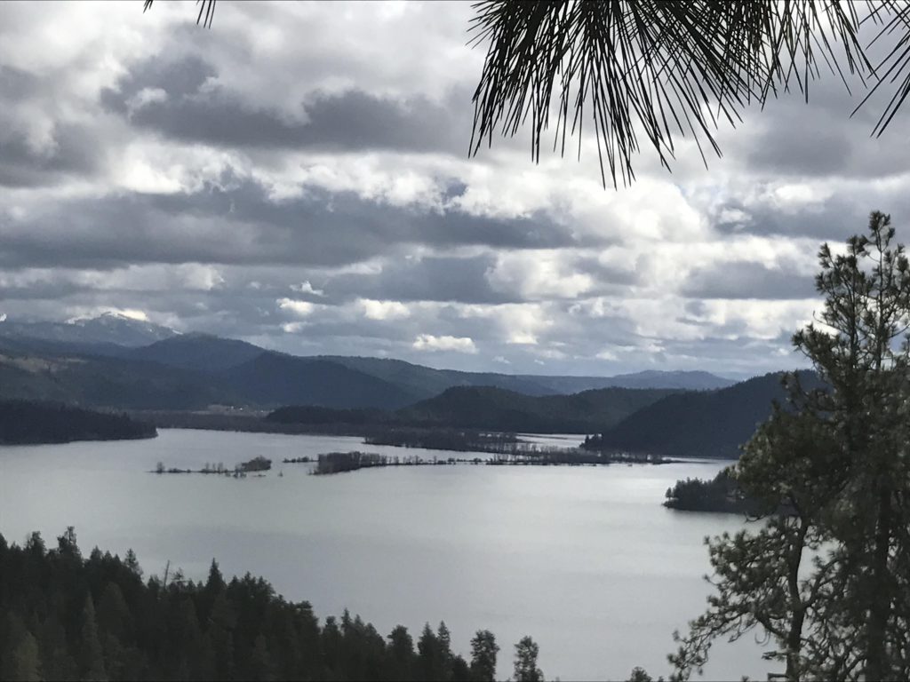
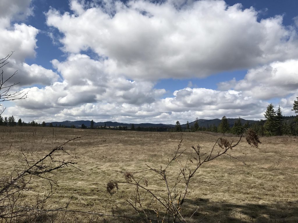
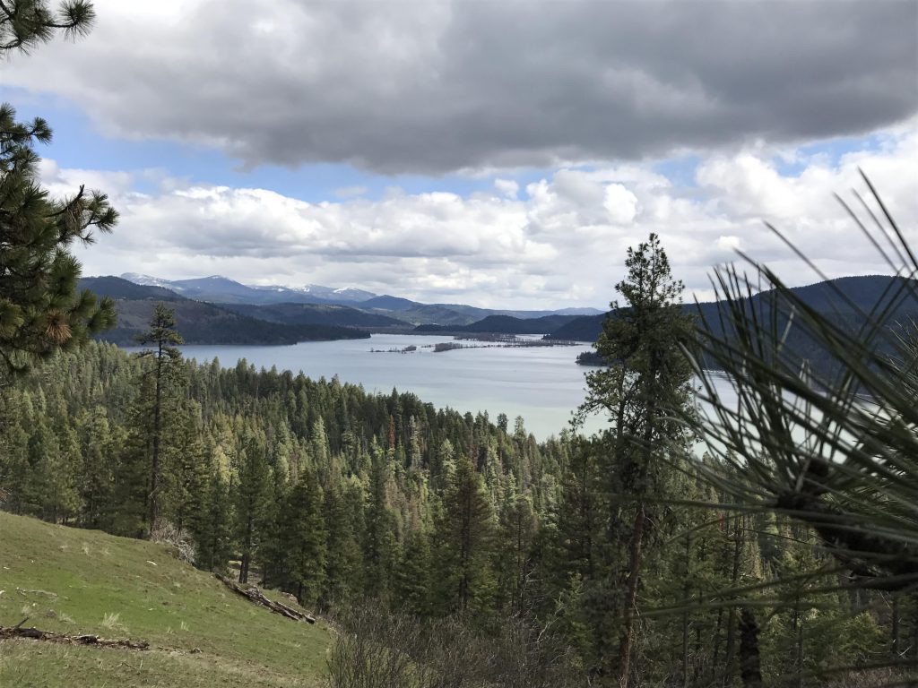
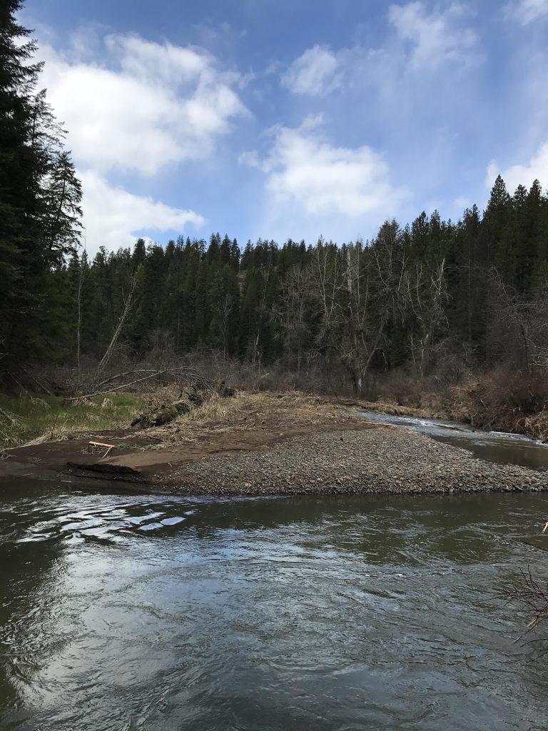
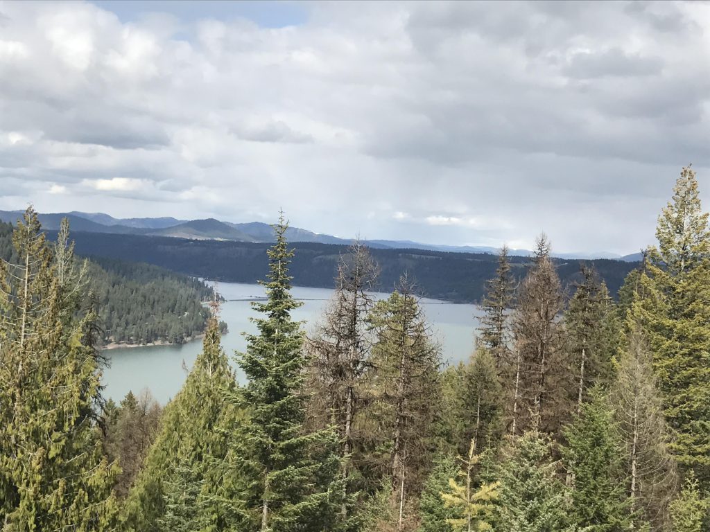
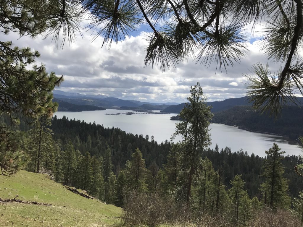
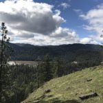
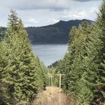
Once you’re on the ridge the trees recede and as you continue south the views get better and better. The best spot is likely at the 4-mile mark (there is a bench), an excellent outlook across the lake and the river-within-the-lake, a phenomenon created by the damming of the Spokane River in Post Falls, which raised the water level in Lake Coeur d’Alene and merged it with Lake Chatcolet, Hidden Lake, and Benewah Lake.
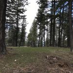
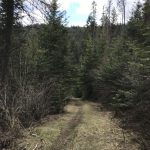
This is also the point where you’ll switch to the Whitetail Loop, which is at the back of the small meadow equipped with horse tie-up bars. This trail follows an old logging road for perhaps a mile through a very light forest that had burned at some point. At the 5-mile mark you come to an intersection. The Whitetail Loop continues to the left (logging road), to the right part of the old Mullan Road leads to Chatcolet campground (a singletrack) and the two trails in the middle are the opposing ends of the Shoeffler Butte Loop.
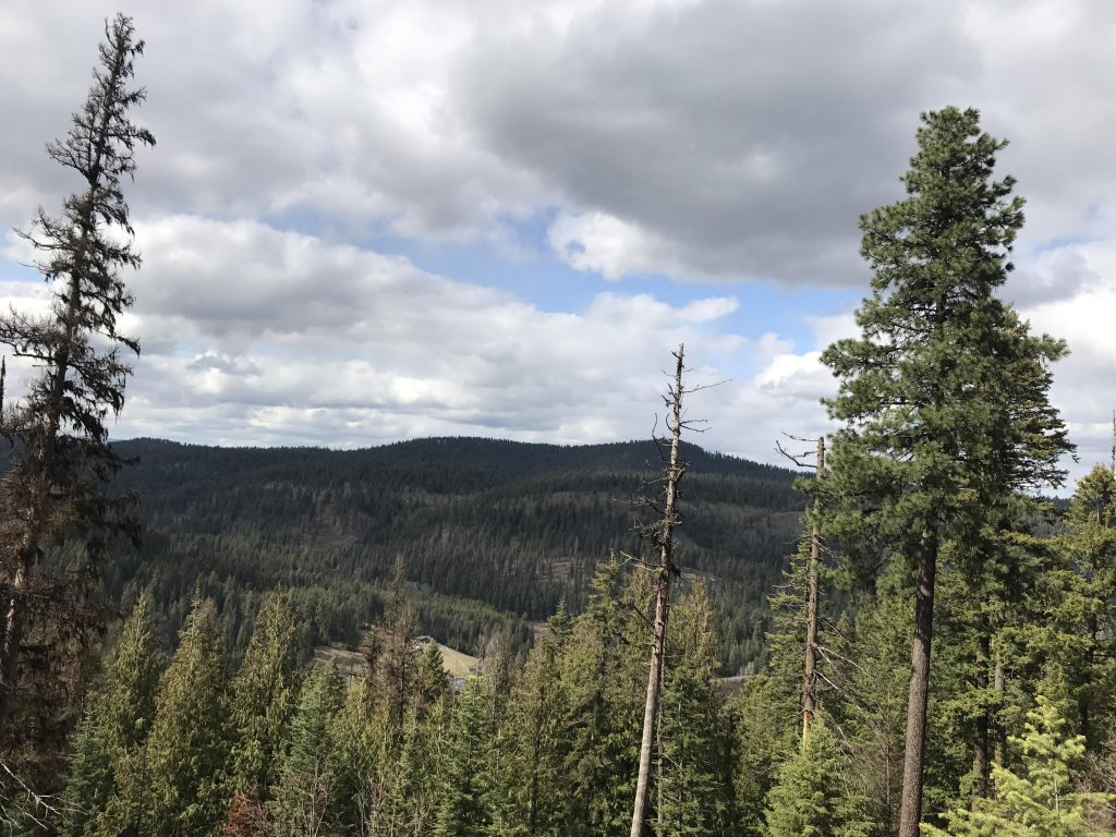
We hiked Shoeffler Butte counterclockwise, which means you are ascending the steep section. The flank is quite densely forested, so views are limited. You’ll be at the top in about half a mile. The peak is also hemmed in by trees, but there are some views of the surrounding farmlands.
The trail continues southwest along a ridge, eventually dropping to the northern side of it and curling around. If you want a shortcut you could probably head south through the woods to meet up with the Whitetail Trail in no time. We headed back the long way, following an old logging road to the intersection we’d been to earlier (5-mile marker).
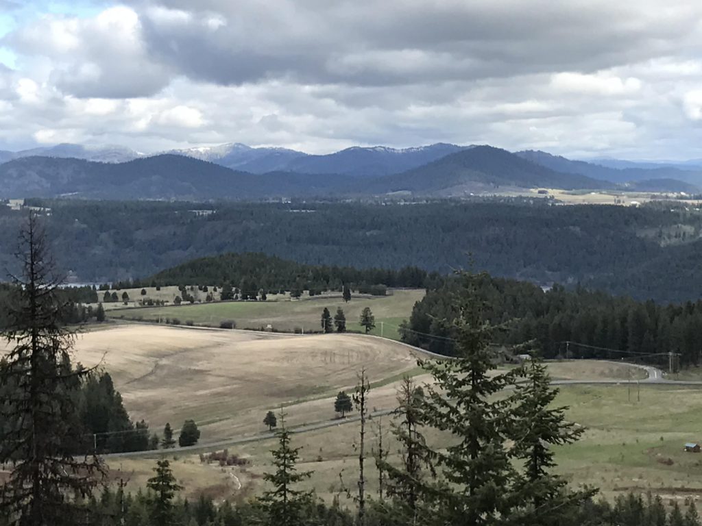
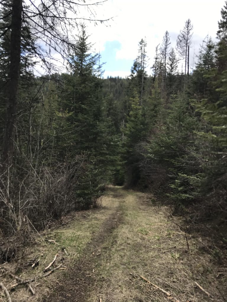
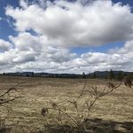
Then it’s off westwards, following a logging road through the burn area to the west-most boundary of the park. Here you’ll have nice views of sprawling farmlands, then the trail turns south, hugs the park border and at the 9-mile mark moves eastwards (you can safely take that old logging road heading east, but the official track drops over the edge for a bit to a fork with the right side going down to Plummer Creek. Bear left and the trail will curl around and head uphill to meet up with aforementioned logging road.)
The trail now follows this logging road for about 1.5 miles to another intersection. Going right drops downhill and eventually meets up with the parking lot at the beginning of the Indian Cliffs Loop. Instead, bear left and take the sharply-ascending singletrack carved into the the hillside. Quickly you’ll reach the flat area at the top, and then it is a relatively easy traverse through thin forest ,with occasional views, back to the Indian Cliffs viewpoint.
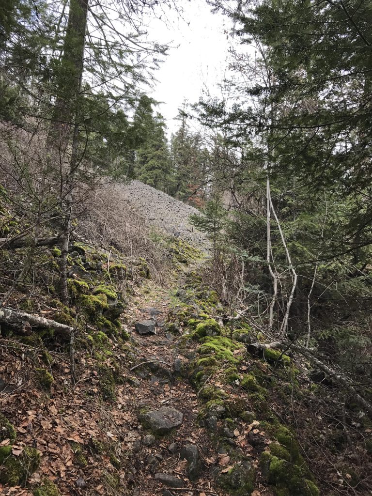
Complete the Indian Cliff loop by bearing right and downhill, a trail that eventually switchbacks and heads due east. Make sure not to miss the three-quarter-mile CCC trail, which branches off at the 13-mile mark, heads uphill into the woods, crosses a scree field, then flows downhill and meanders through the forest, across seasonal creeks and soon meets up with the Indian Cliffs trail.
Return the way you came to the parking lot, then cross the Trail of the Coeur d’Alenes and Plummer Creek. On the far side of Plummer Creek bear right at the fork and uphill to the Plummer Creek Fire Trail. On the other side of the Fire Trail, a relatively new single-track (it’s not marked on the map) moves into the woods; the return portion of the Lakeshore Trail. It circumvents the waste water treatment facility and emerges onto a wide logging road.
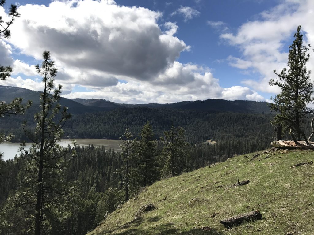
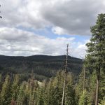
Continue along this road until you’re almost at the visitor center. Here, two single tracks veer off, one to the left and the other to the right. Take the one to the right. It climbs through dense pine and fir forest to an old railroad track, crosses it and continues fairly steeply uphill. The top is at around the 16-mile mark and offers views across of Shoeffler Butte, across Plummer Creek, and filtered views of the lake.
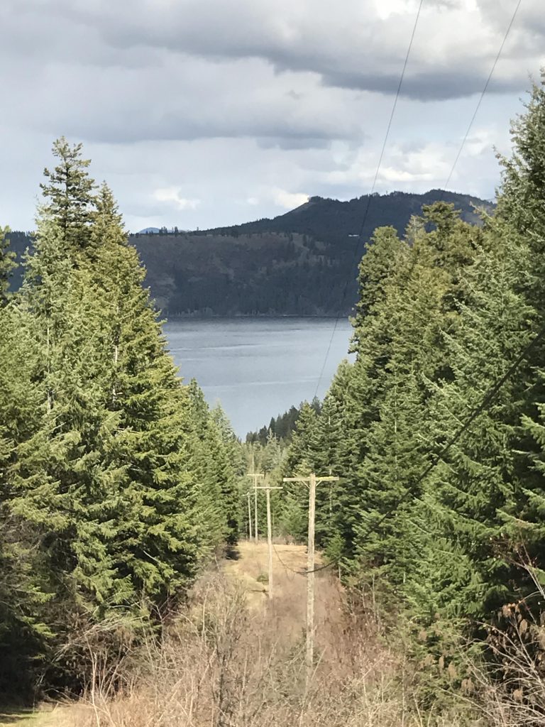
Soon after you’ll hit on the Appaloosa trail. Take a left and follow it to another waste-water treatment plant. The equestrian trailhead is on its opposite end. The Appaloosa trail follows the power lines straight down for quite a while, but eventually drops away to the right and downhill to a logging road. Follow this northwards and back to the railroad tracks. Cross the tracks and move along the north side of the tracks past piles of railroad ties. Then the trail declines and you’ll end up near the point where you’d originally veered off. This time take the single track on the other side and head back to the trailhead at the visitor center.
Alternate Routes
- There are additional trails at the Chatcolet campground (the Mullan Road Trail and a single-track that leads downhill behind the houseboats on Hidden Lake)
- Refer to the trailmap to break this trail up into smaller loops. Besides the visitor center there is a trailhead at Plummer Creek, the Trail of the Coeur d’Alenes, on the equestrian hill, and Chatcolet Campground
Things to Consider
Not so great