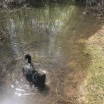
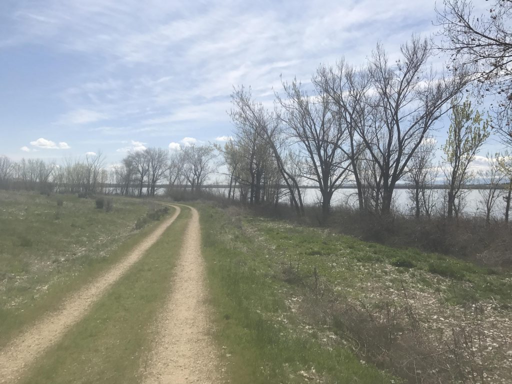
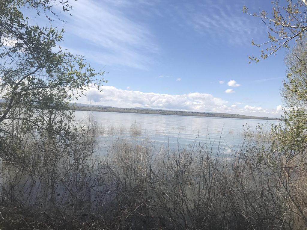
The Kingfisher Trail hugs the southeastern shore of Lake Lowell in Idaho’s Deer Flat National Wildlife Refuge for about three miles, then adds another mile alongside the New York Canal. The refuge, created more than 100 years ago, includes over 10,000 acres and provides crucial habitat for wildlife, especially birds. We saw lots of mallards and geese and a little bunny.
Location
Elsewhere
Rating
1.9 out of 5
Difficulty
Easy
Distance
7.7 miles
Duration
1:59 hours moving time (Hiking)
Elevation Gain
8 feet
High Point
2,563 feet
Low Point
2,520 feet
Features
Lake
Outing Type
Daytrip
Trail Type
Out-and-back
Trailbed
Gravel track
Trail#
Water
None
Camping
Not allowed
Conditions
Excellent, but the trail surface is pretty hard. Recommend wearing running shoes or trail runners with some cushioning
Administration
U.S. Fish and Wildlife Service
Status
Wildlife Refuge
Maps
USGS
Lake Lowell
Nampa
Fees & Permits
None required
()
Open To
Hikers
Dogs
Mountain Bikers
Horses
(dogs must be leashed)
Directions
Take I-84 exit #33 (ID-55/Midland Boulevard). Continue on Midland for a mile or so, then turn left onto N Middleton Road. After 4 miles turn right onto Greenhurst Road and follow it until it turns into a gravel road. The trailhead is right there. Alternatively, continue on the gravel road to Gotts Point and start the hike from there (adds 1.5 miles roundtrip)
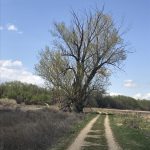
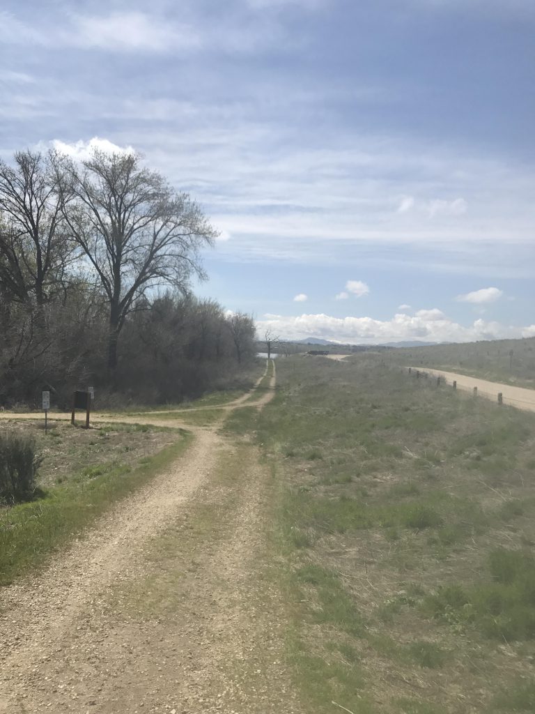
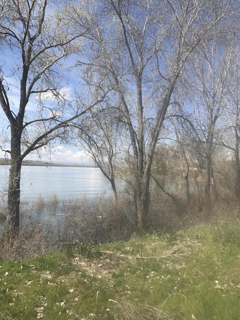
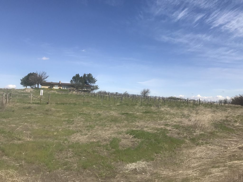
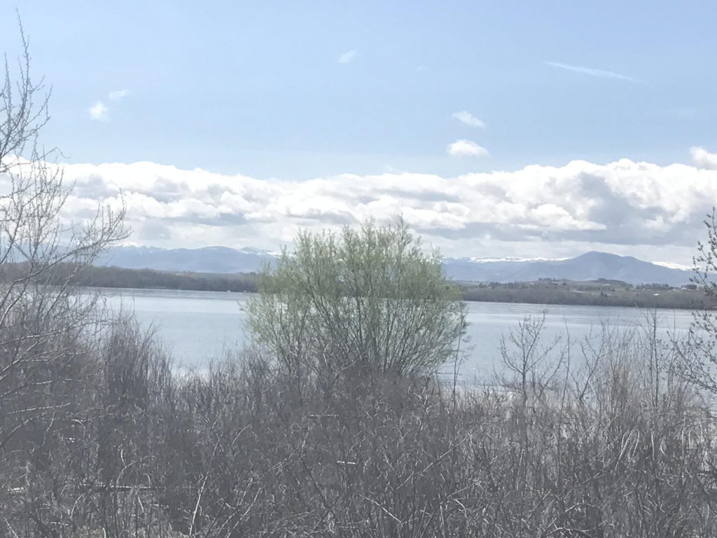
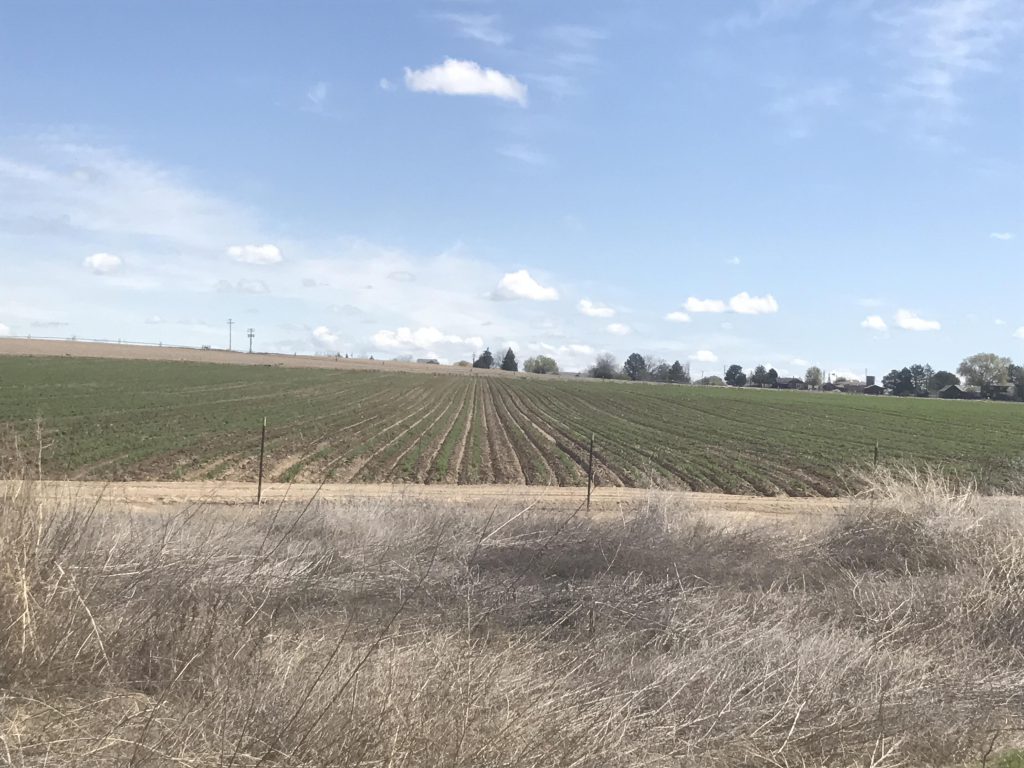
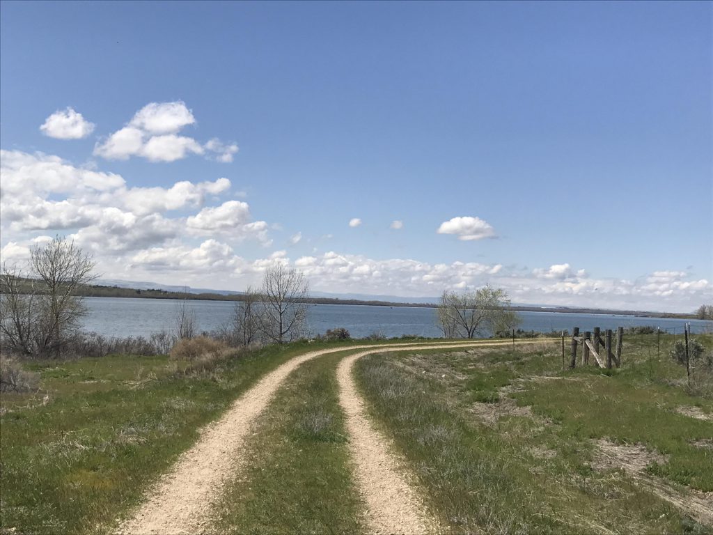
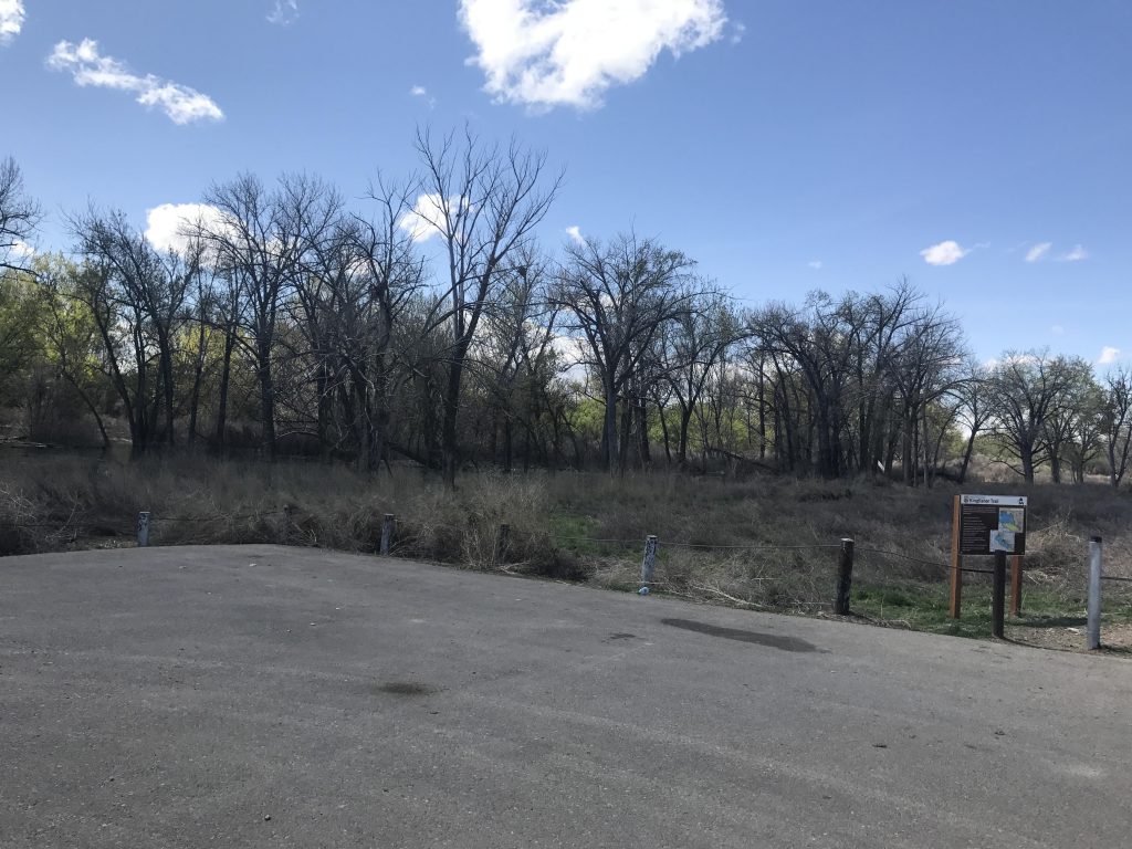
You can start this hike either at the Greenhurst or Tio Lane trailheads. At the Greenhurst trailhead you will take the wide double-track that heads left (right leads to Gotts Point). For the next 3 miles, the lake will be on your right, mostly screened by trees, while the left side runs the full gamut from rubble piles to residential housing to vineyards to a quarry to irrigated farmlands to open grasslands sprinkled with sagebrush.
Then the path parallels the New York Canal, but a wetland surrounds it, so you won’t be able to actually see it. To do that you’ll have to continue on from Tio Lane for another mile.
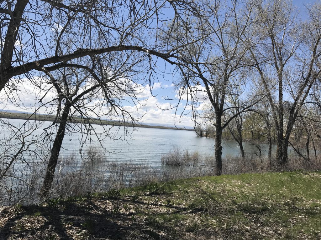
There isn’t much to see along this hike besides the lake, and the trail is flat as flat can be. It’s an easy walk, though, and if you enjoy bird-watching it’s definitely a go-to place.
Alternate Routes
You can extend the hike at either end. Gotts Point adds another .75 miles one way and at the other end (Tio Lane) a 1-mile extension brings you to the New York Canal.
Things to Consider
Not so great
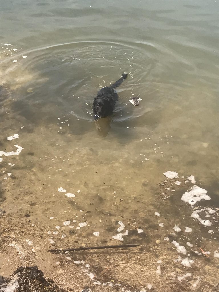
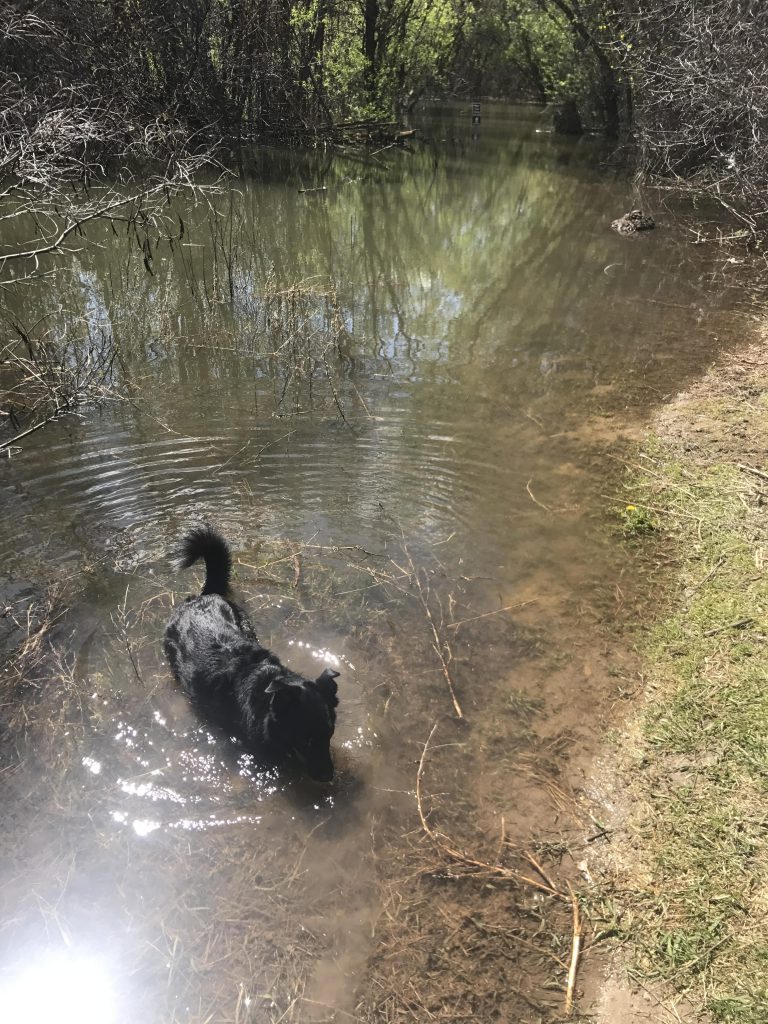
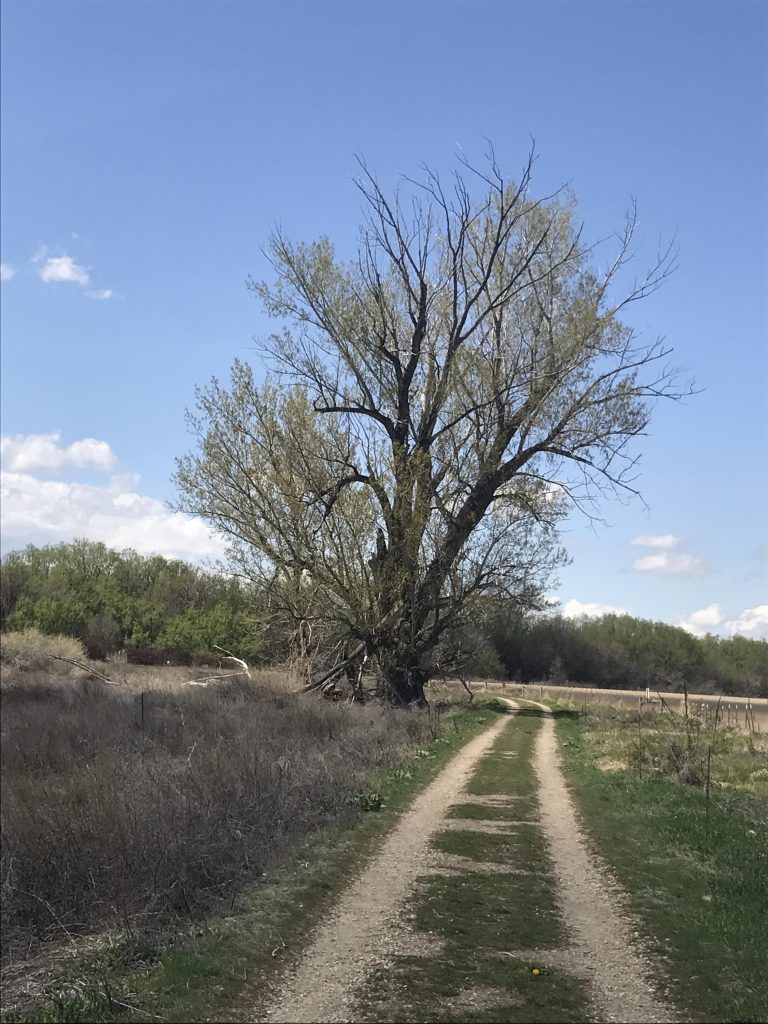
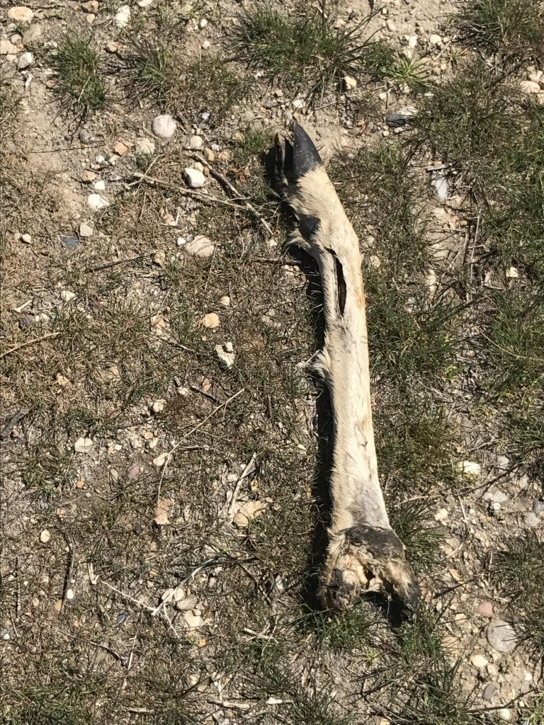
Trailhead with view towards Gotts PointsLake Lowell is on one side for most of the hikeA double track for the entire hikeNaughty is cooling downVineyardView of Lake LowellMore views of Lake LowellIrrigated farm fields on the far sideLake LowellWhen the water level isn’t so high this provides access to the New York CanalTurn-around point at Tio LaneGiant cottonwoodLooking west onto Lake LowellNaughty found the obligatory deer carcass