- Channeled Scablands
- Appears to be allowed. Farmer’s Landing has a good spot, as well as on either end of Hog Lake
- Excellent except for frequently flooded trails in spring
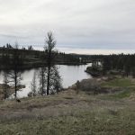
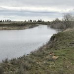
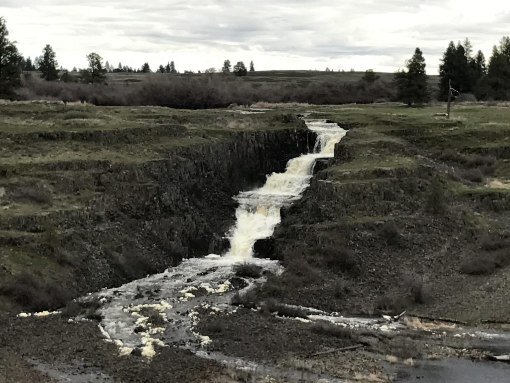
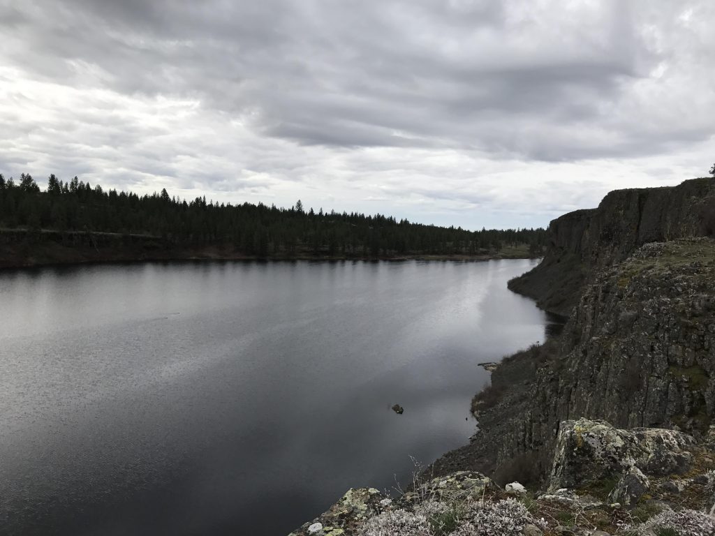
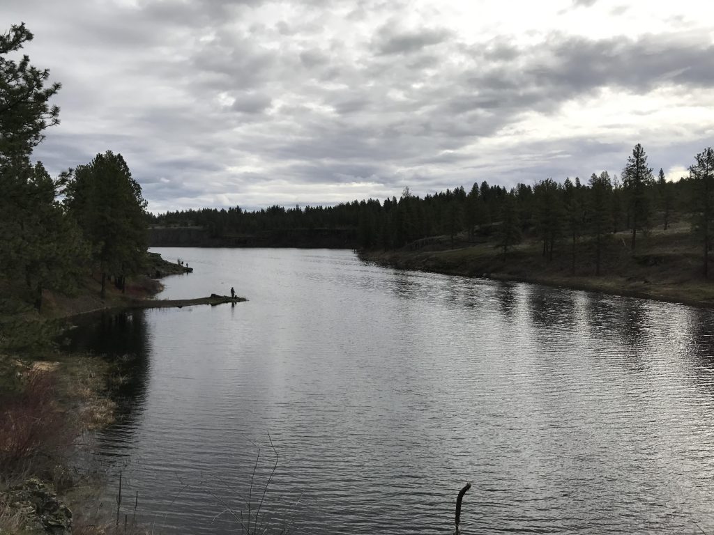
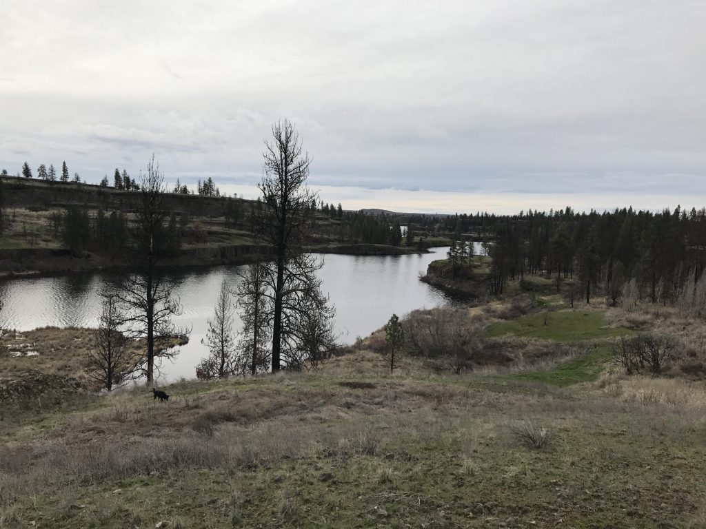
From the trailhead head northeast on an old farm-road double track. The path leads past a small pond, then curls around and heads east/southeast towards Hog Lake. You’ll be able to hear the roar of the waterfall from afar, at least during the spring runoff. The trail then continues along the top of the bluff (the waterfall is on private land on the opposite side of the lake). The main double-track is a fair bit away from the cliff, but a nice single-track hugs the cliff edge closely and provides ample views of the lake. As you approach the lake’s outlet, the single-track drops down to the level of the lake and you emerge at the boat launch and dam.
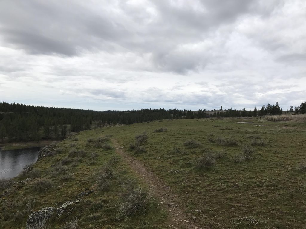
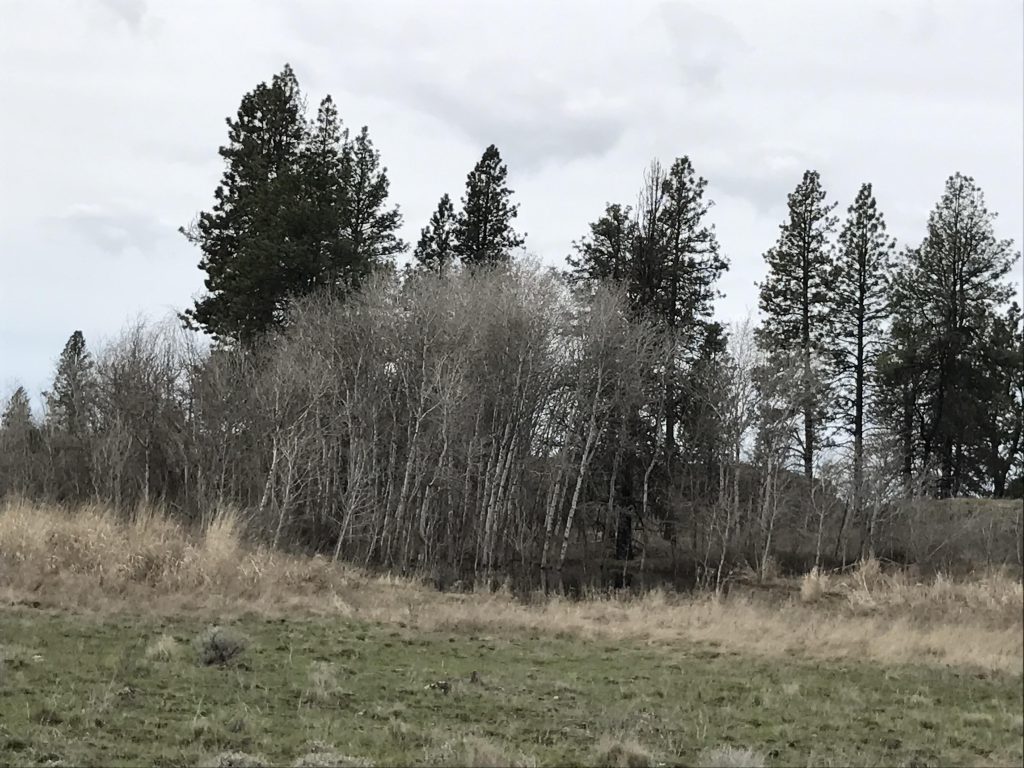
Take the deeply-rutted access road west and uphill until you see the trail markers popping up on your left. Follow that path, which is still a wide old farm road that parallels Hog Canyon Creek. Hog Canyon Creek is down below, really more of a marshland, and mostly screened from view by tall fir trees. After a good mile, the trail moves uphill and westwards around a piece of private property. It rises above the tree level to a wide open meadow (Smick Meadow) and, once past the gate, emerges onto Fishtrap Road (the main access road to the Fishtrap Resort; it is blacktopped). Take a right onto that road and follow it for perhaps a couple hundred yards, if that, to a parking lot on the left.
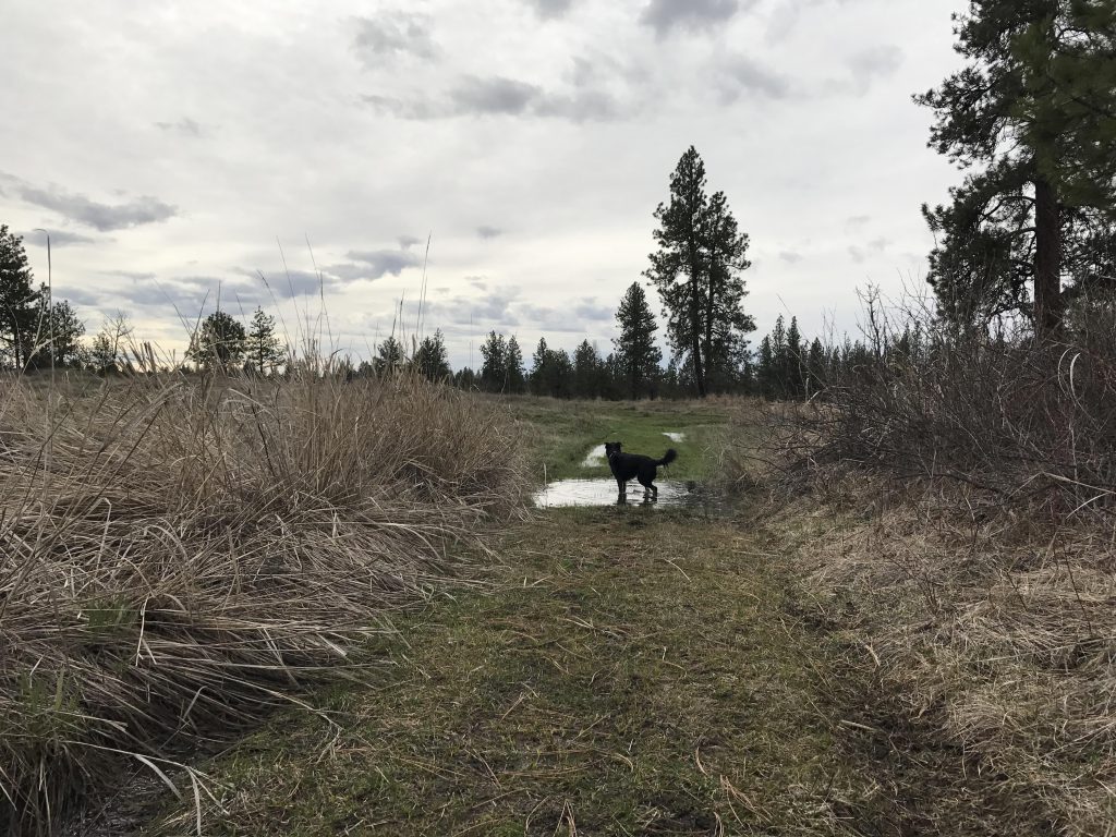
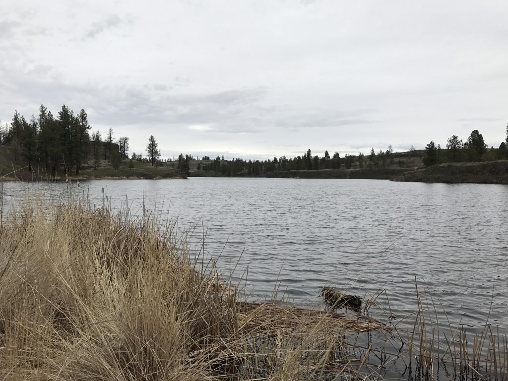
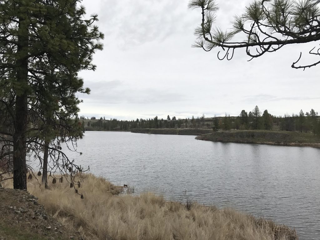
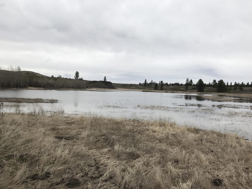
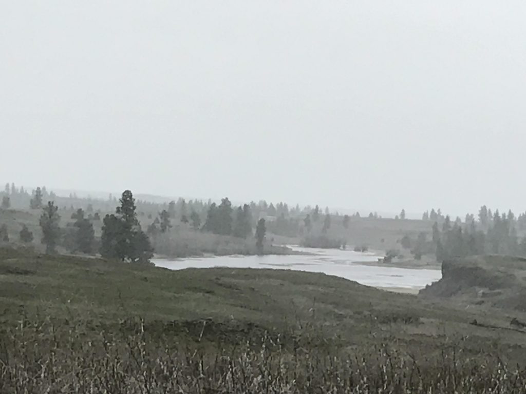
Here, reenter the meadow through a gate and follow the marked Fishtrap Lake trail. It is still a wide farm road. There is a private residence on the left and as you pass it the trail forks; take the left branch, which meanders along Fishtrap Lake for the next 2 miles or so. It is easy walking, though many parts of this trail were badly flooded. Keep an eye to the sky, for hawks are common here. Unfortunately, the lake is completely hidden from view and you’ll have covered more than half its length before the first opportunity for a sneak peak presents itself (in fact, you’ll have to leave the path and approach the cliff to see the lake).
As you approach the end of the lake, the trail curves to the left and drops elevation gradually through a section that was badly burned in a forest fire in 2014. The trail winds around a bit more, then you’ll come to an intersection. Take a left, and the trail weaves its way between giant basalt rock outcroppings down to the lake at Farmer’s Landing.
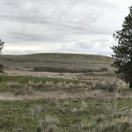
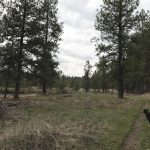
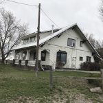
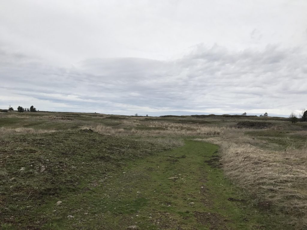
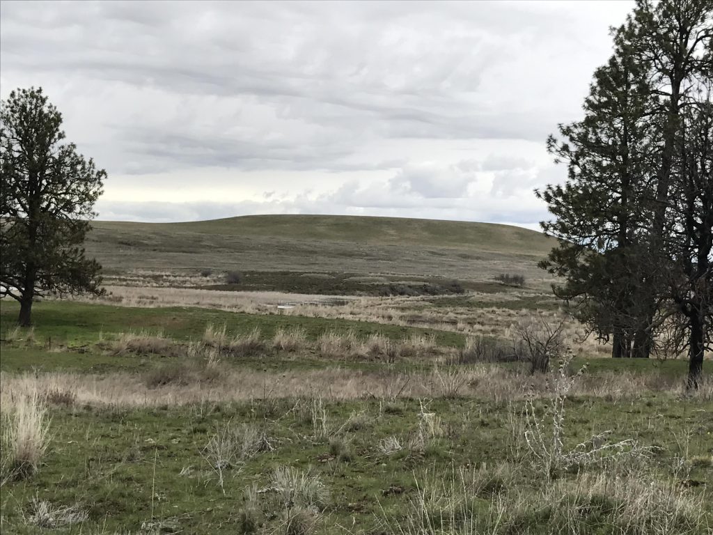
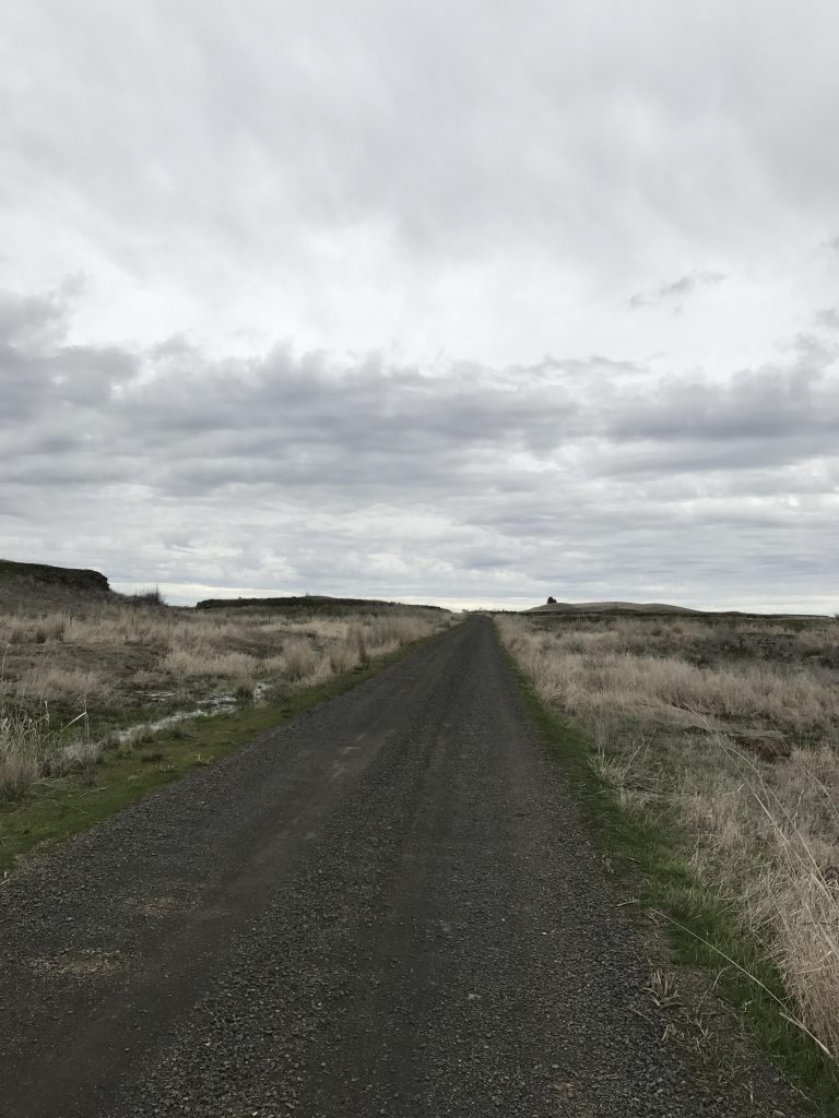
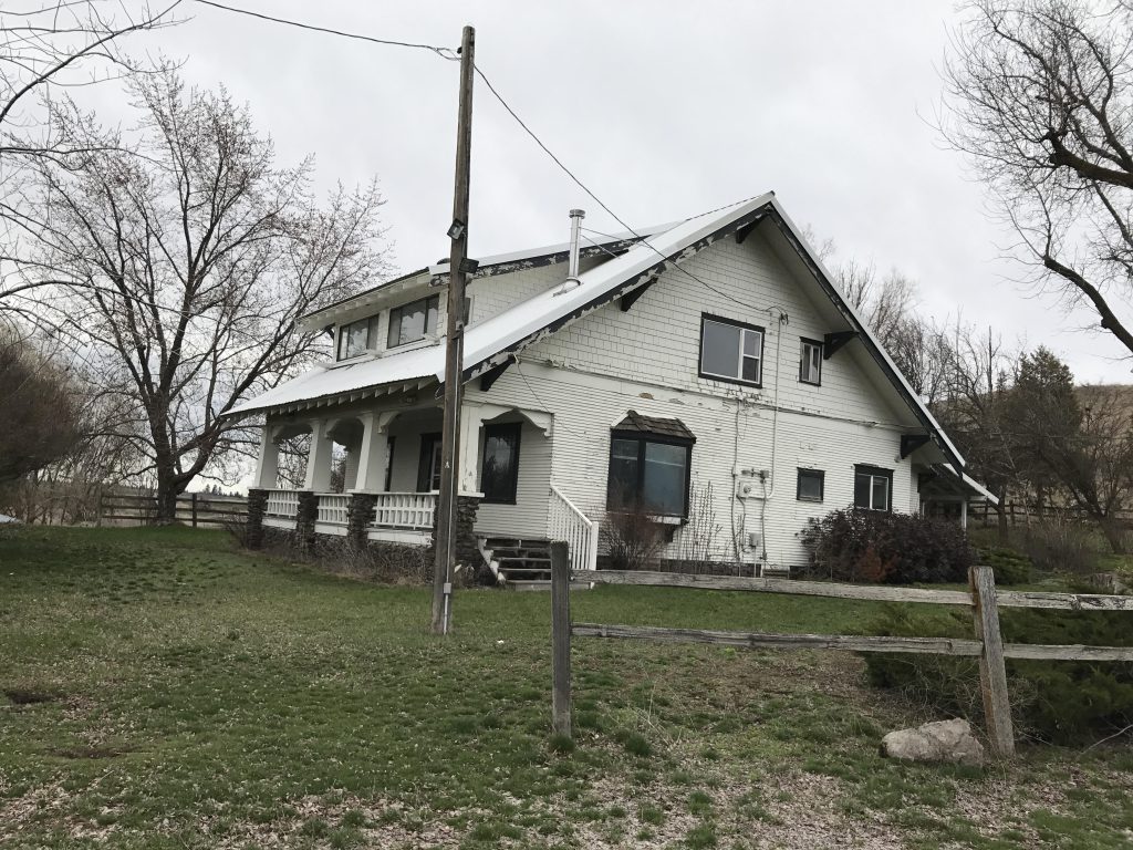
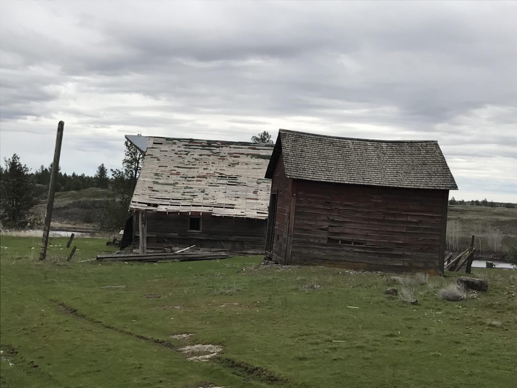
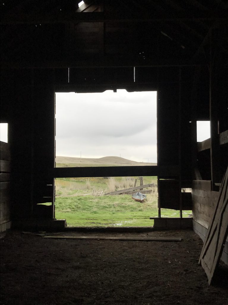
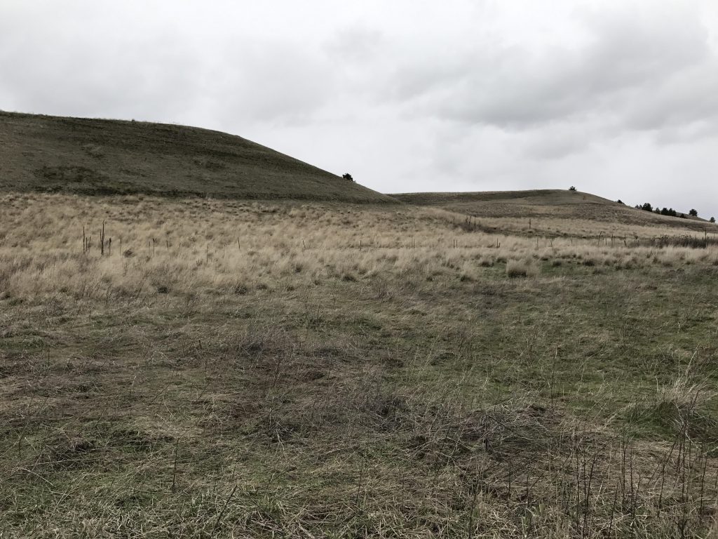
Retrace your steps and at the intersection head straight. The trail moves slightly uphill and exchanges the thin, burnt pine forest for open grasslands. The flattish knoll in the distance is Watermelon Hill. Continue on the frequently flooded trail for about 1.5 miles to another trailhead. At this trailhead switch to the gravel road that leads in a straight boring line to the old ranch house. Move past the ranch house on the old farm road, and after you’ve passed the horrible plywood barn take a right through the gate.
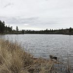
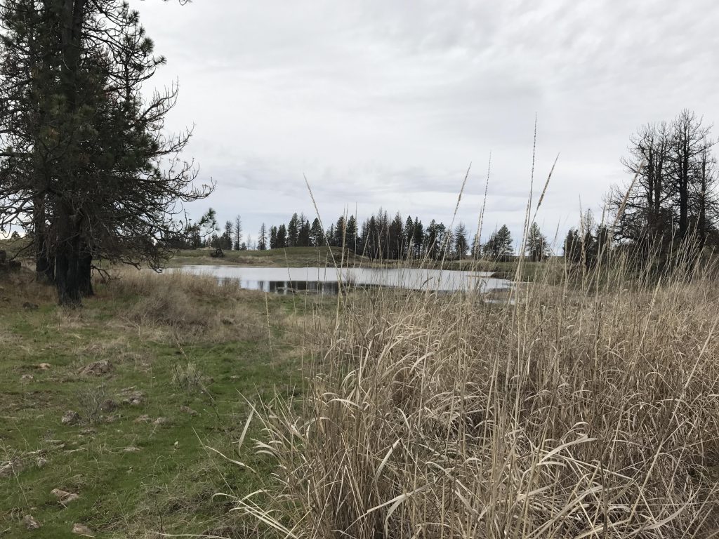
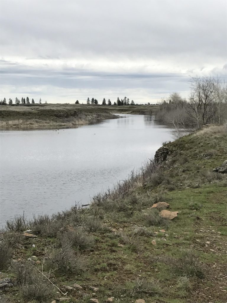
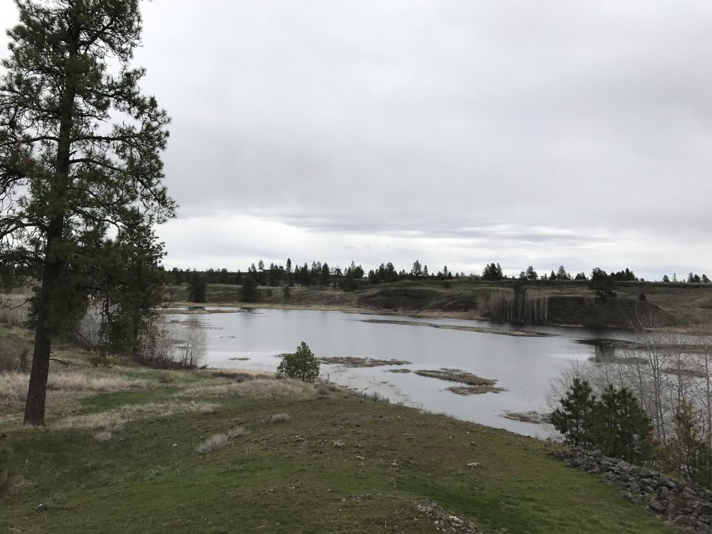
The trail curls around the small butte behind the ranch house, heading east/southeast. Eventually it meets up with a longish pond, where you leave the wide farm road behind and choose the single-track paralleling the pond. This is a rather nice trail, which obviously received some recent TLC and, unlike the trail along Fishtrap Lake, provides constant views of the pond and its waterfowl and aquatic plants. Very pretty!
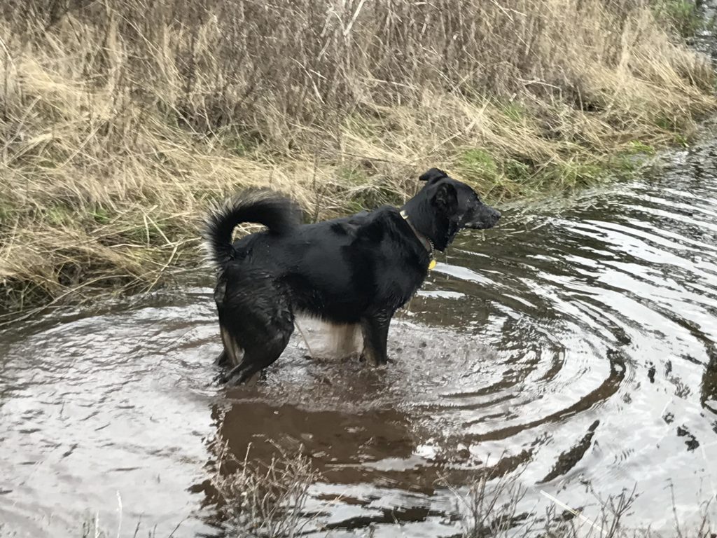
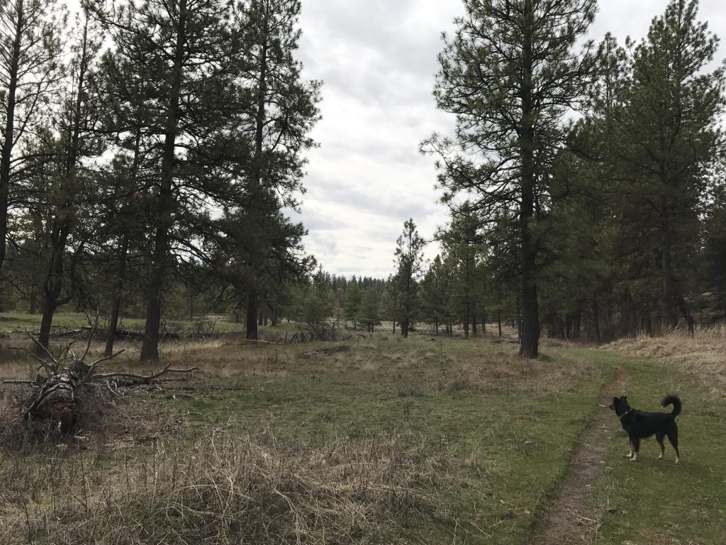
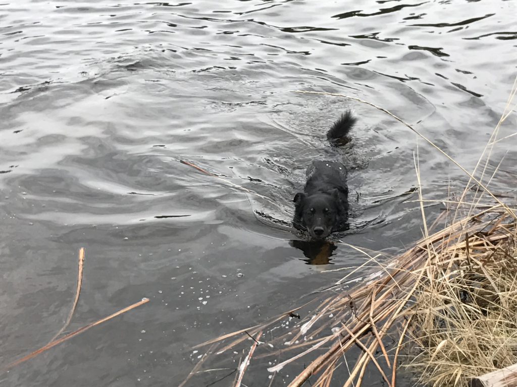
The stretch back to Fishtrap Road is dotted with smaller ponds, each of which the trail builders felt was worth visiting, and thus the trail moves back-and-forth quite a bit (it is indeed worth it!). Plus, to Naughty’s delight the pond edges are a favorite habitat of gophers. In total, it’s around 2 miles from the ranch house to the road.
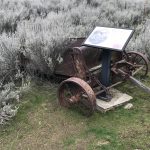
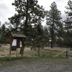
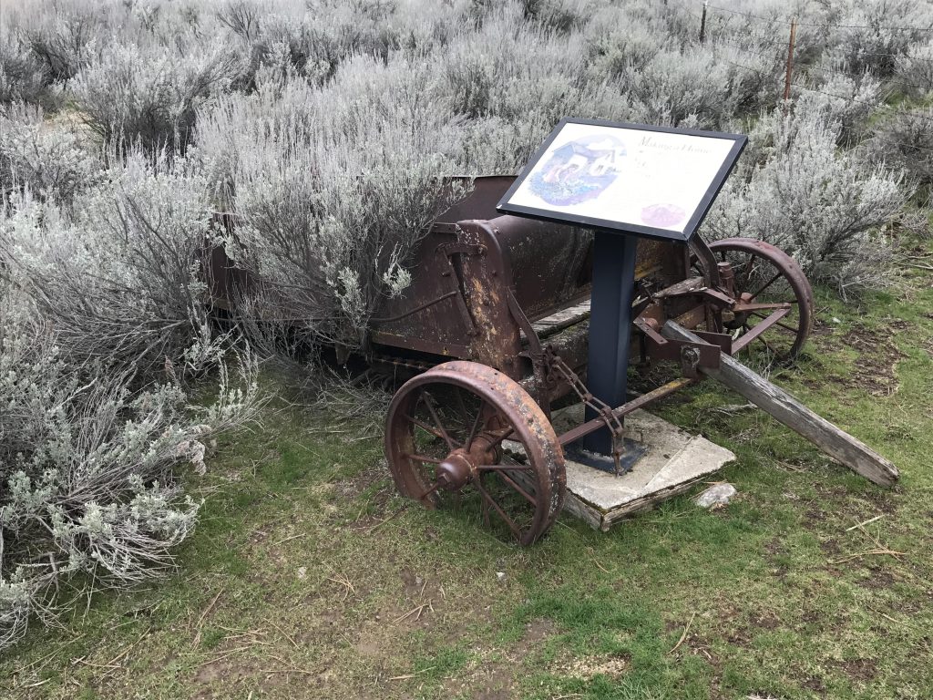
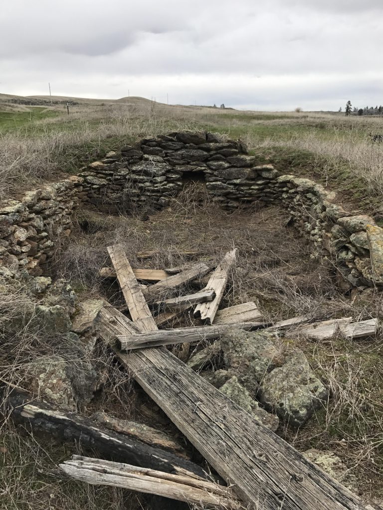
Back on Fishtrap Road, follow it east for a short distance until you hit the branch-off to Folsom Farm. This is another gravel road, but not even a mile long. Take your time at Folsom Farm, as it tells the story of the early settlers in a series of interpretive signs. As it turns out, this area was not all that isolated in the early 1900s; the railroad (Fishtrap Depot) provided easy access to Spokane and the Fishtrap Resort easy entertainment. The early farmers drained the coulee to provide rich farmlands, planted wheat on the bluffs, and raised livestock in the wooded areas. It was no easy life, however. The soil in the Channeled Scablands is thin and poor and rocky and the farmers finally gave up in the 1950s. After the BLM took over the site, the drainage channels were blocked and the wetlands restored.
From Folsom Farm the trail, once again an old farm road, heads north along the power line to the access road. Once on the access road (gravel), head south for half a mile to the trail head.
Alternate Routes
- To shorten this hike, or break it up into multiple smaller ones, drive to the various trailheads. Refer to trailmap
- There is another 2.7-mile loop on the other side of Fishtrap Lake
Things to Consider
Not so great
Great post!! Looks interesting with the interpretive signs, and always so much fun to see Naughty do her thing. 😄