- Switzerland
- None, but there are frequent restaurants, hotels, and grill stations
- Excellent

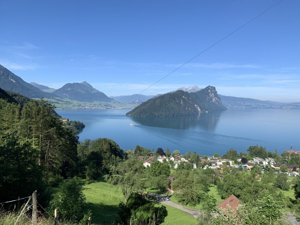
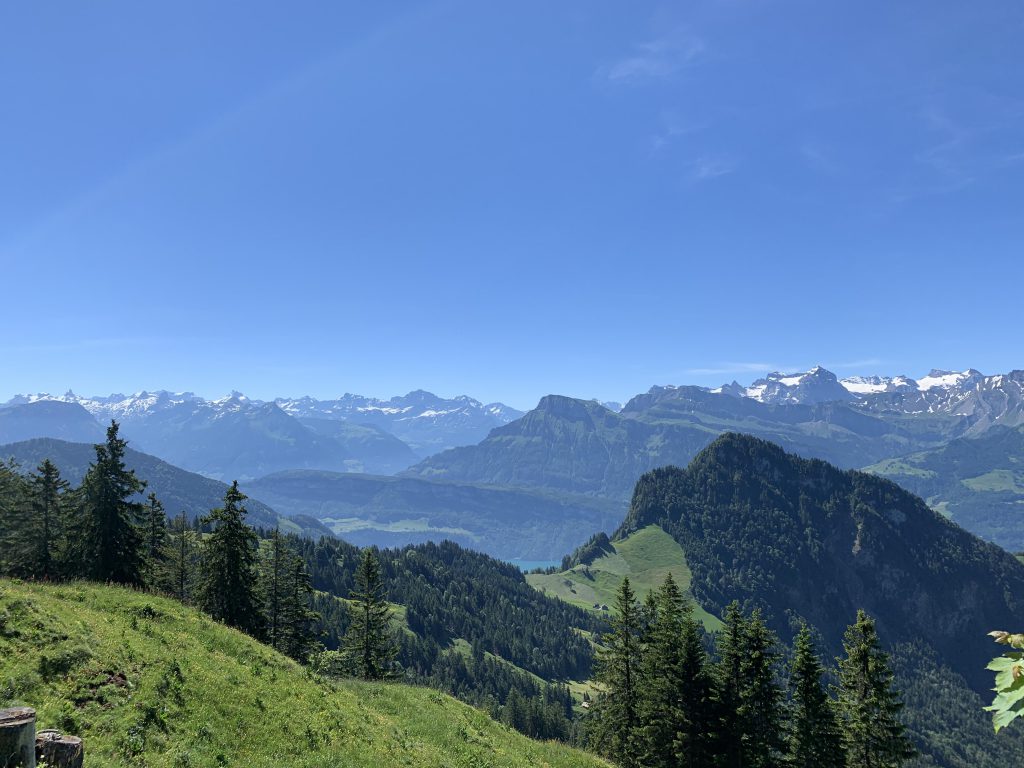
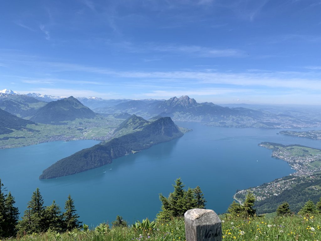
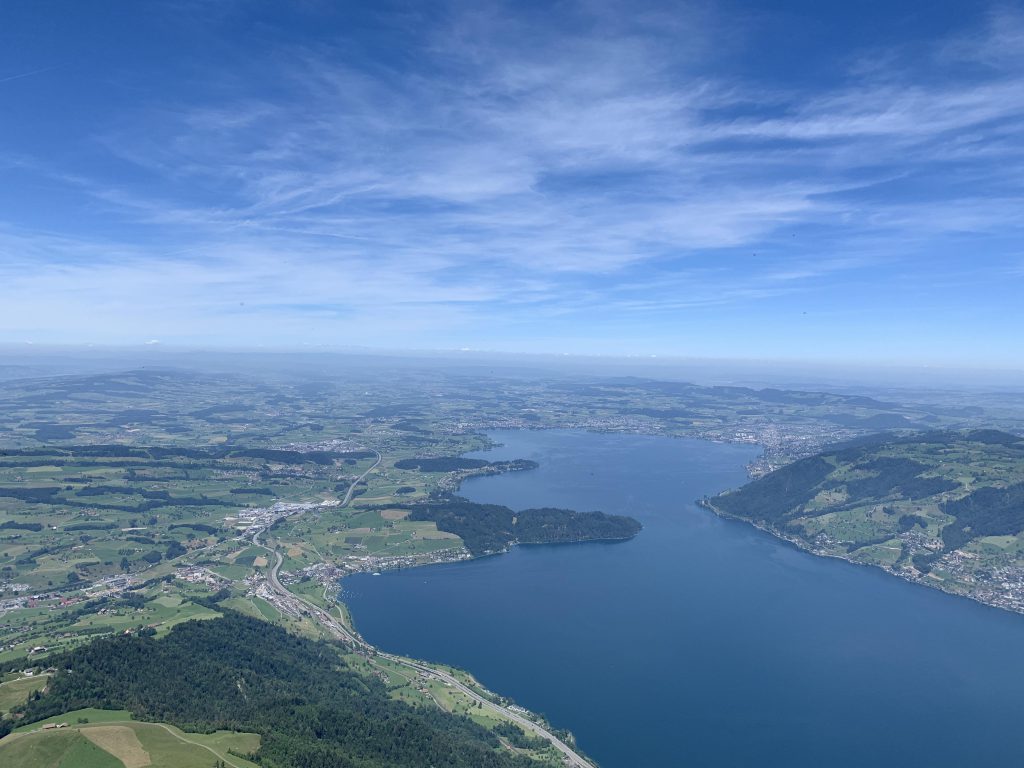
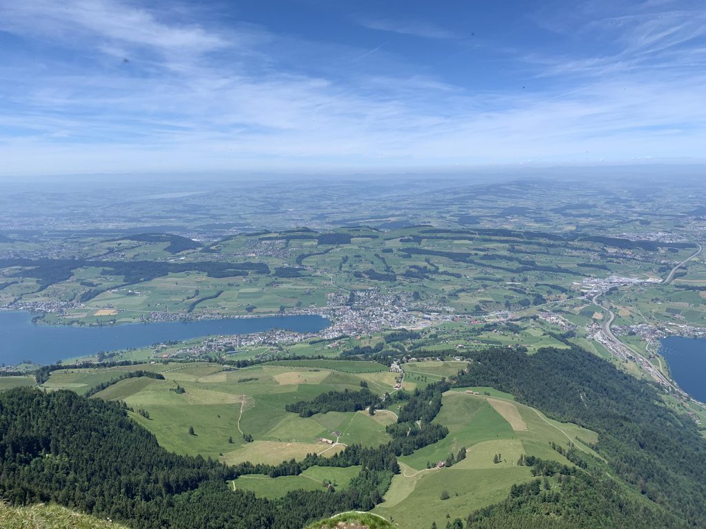
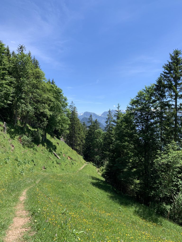
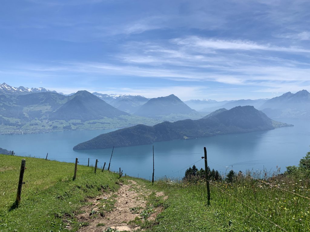
The hike starts out pleasantly as it heads upwards, hugging a mixed forest. Most of the ascent is in fact taken care of in the first three miles, gaining some 3,500 feet. It makes for pleasant hiking though, especially on hot days, as the trail leads through shady woods but still offers frequent sweeping views across the Vierwaldstaettersee and the Buergenstock in particular.
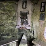
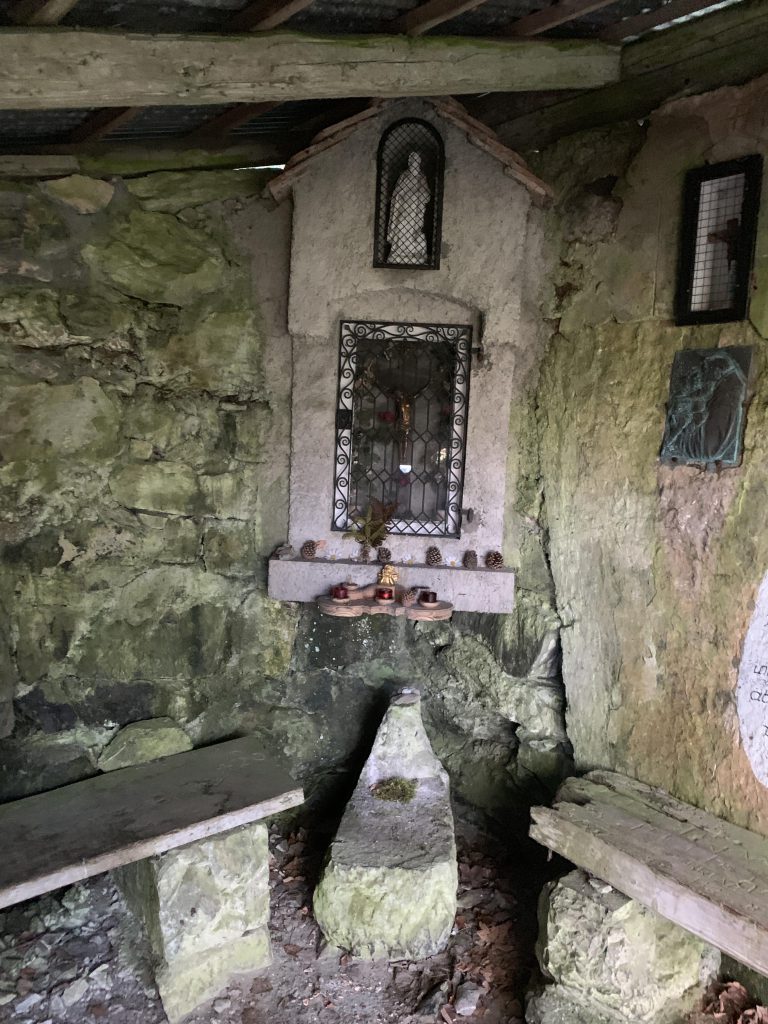
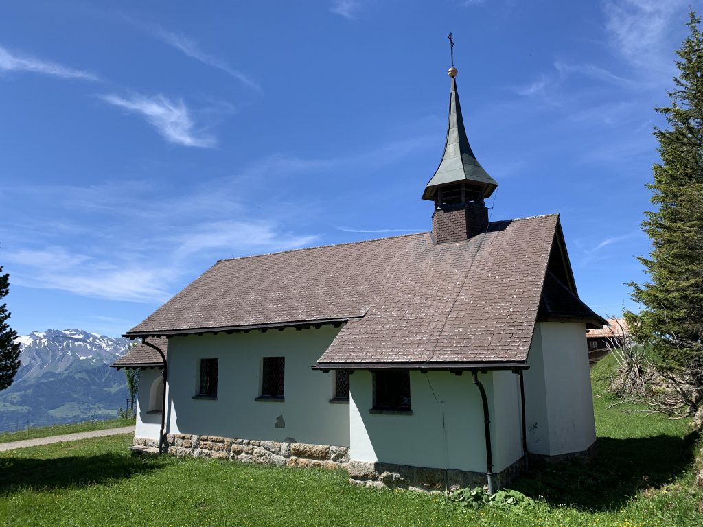
A bit over a mile up, you’ll come across the St. Antoni chapel in the midst of the woods, just ahead of the crossing of the Altdorfbach. That stretch offers a bit of a reprieve, being less steep, but soon after you cross the brook the trail steepens once again. Skirting open meadows, the trail climbs and climbs to an intersection near Rotbalmegg, where we left the trail and took the one heading east towards Rigi Scheidegg.

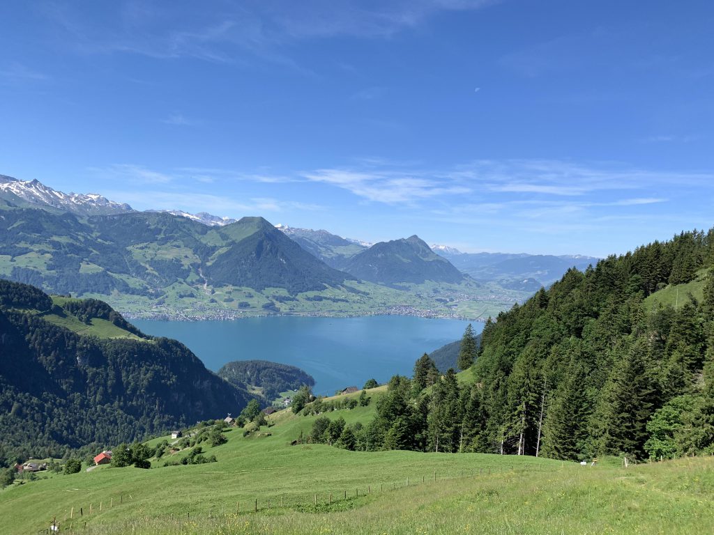
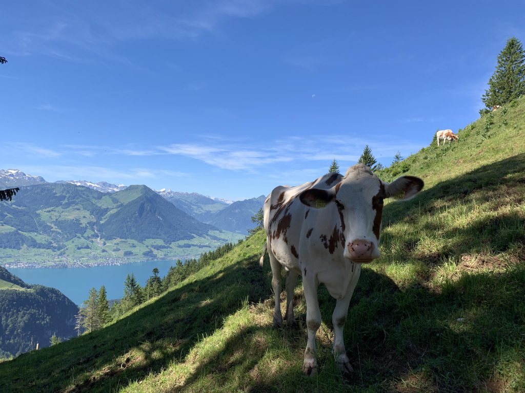
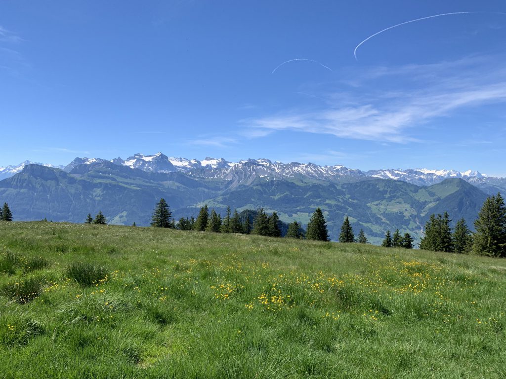
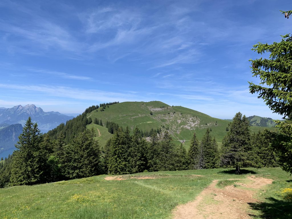
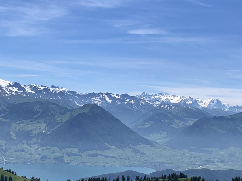
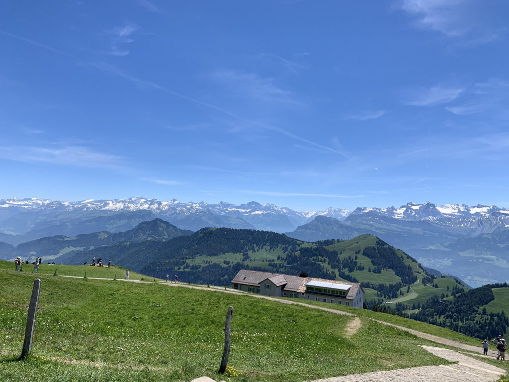
Climbing the southern side of the Dossen, the trail crosses subalpine meadows dotted with cows, then crosses the access road to Rigi Scheidegg. On the far side the trail continues through meadows, sticking close to the ridge as it approaches Rigi Scheidegg with its fantastic all-around views. There’s also a small picturesque church and the ubiquitous restaurant and hotel.
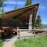
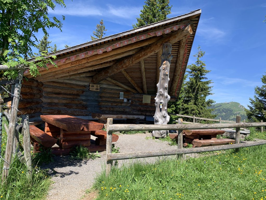
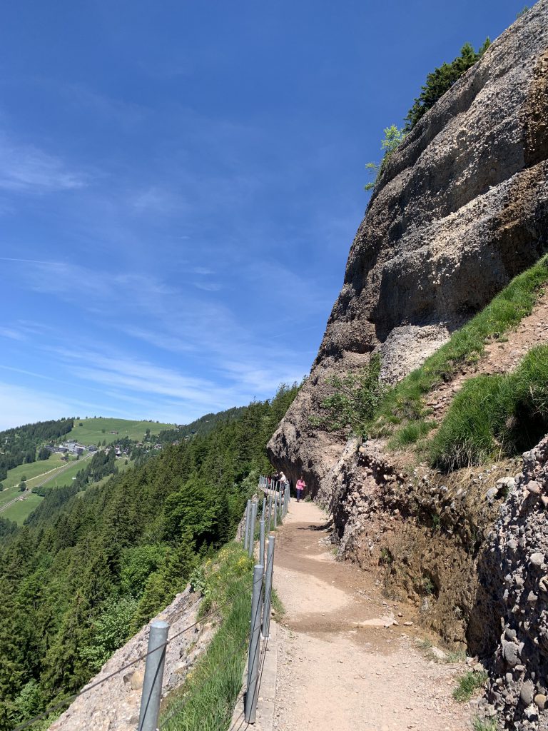
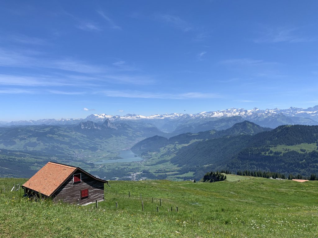
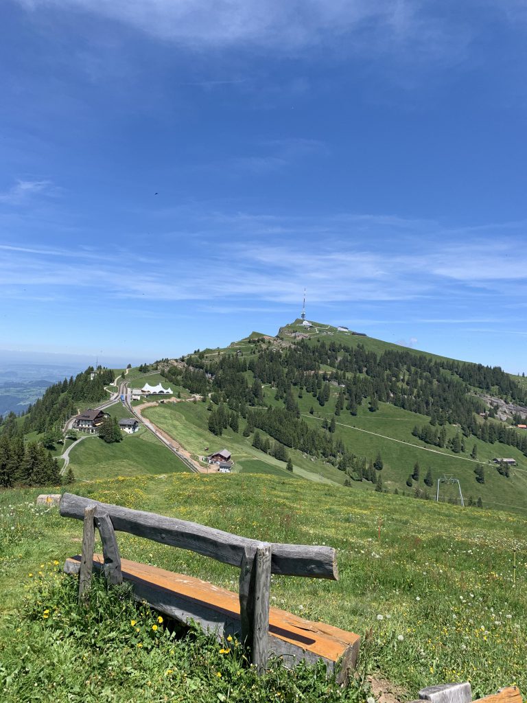
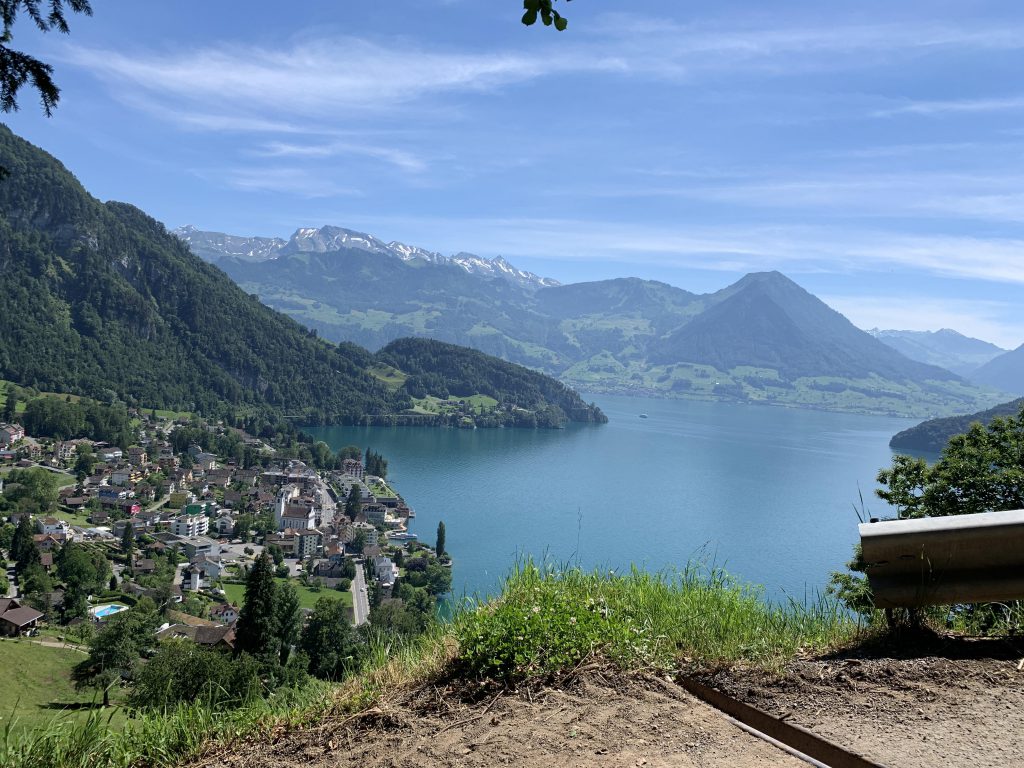
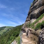
Then it is heading back towards the Dossen, but this time we’ll climb that knob head-on. Views are great atop, particularly of the Vierwaldstaettersee and Rigi Kulm. Then it is down the other side to Unterstetten, where you’ll find a picnic shelter, another restaurant and where you’ll rejoin the trail coming up from Vitznau. For a short distance the trail parallels the access road (there is no traffic), but soon branches off towards a steep cliff. The Felsenweg is essentially carved into this cliff and offers tremendous views as well as some very delicate alpine flowers, including fire lilies (lilium bulbiferum, rather pretty).
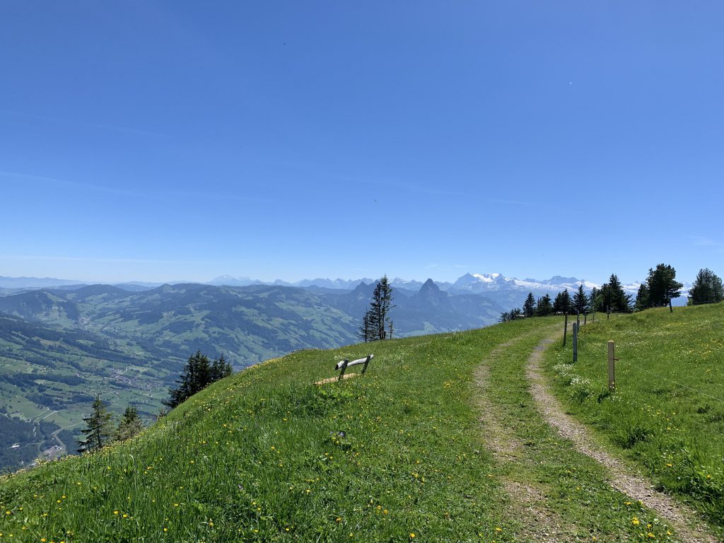
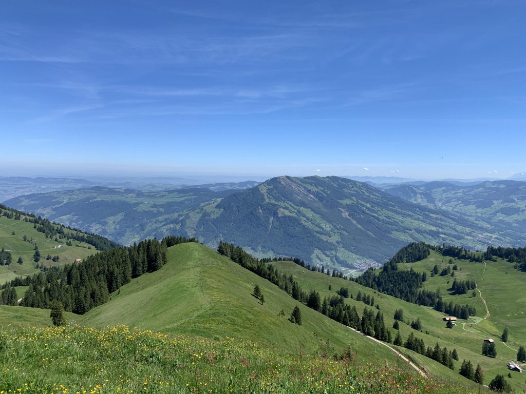
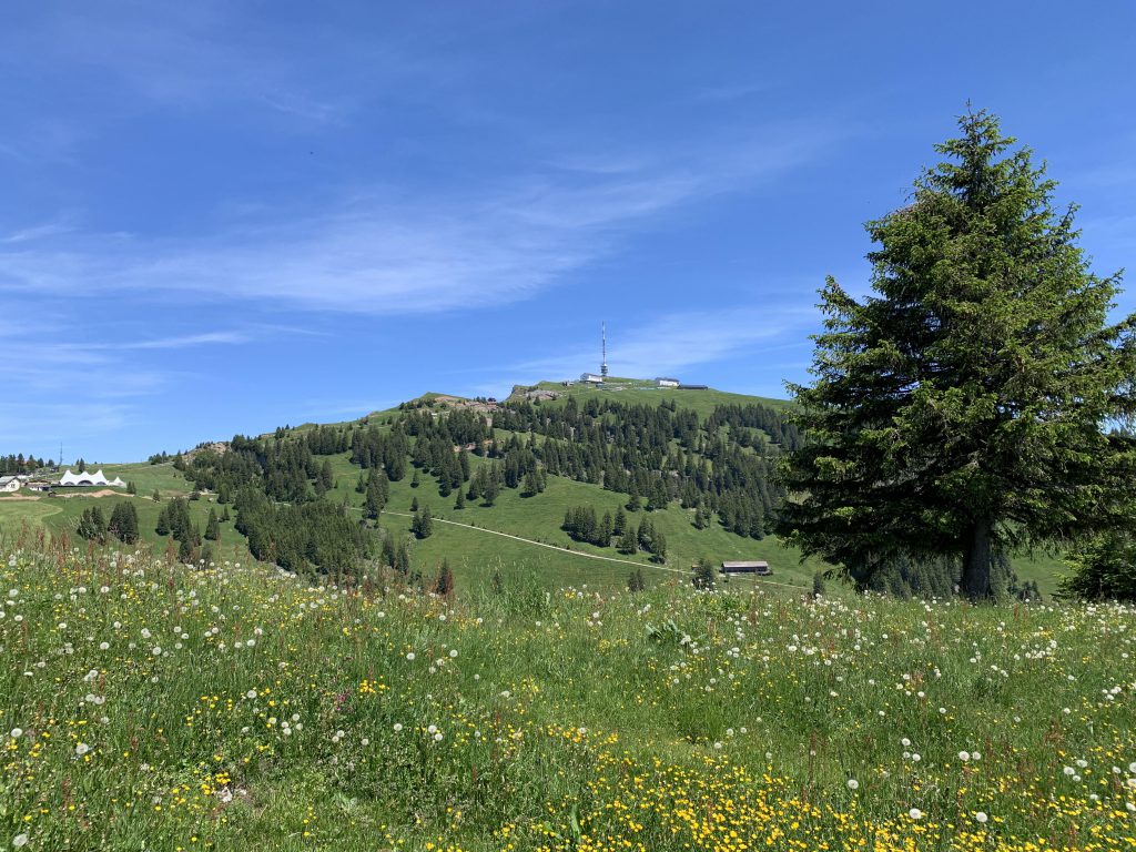
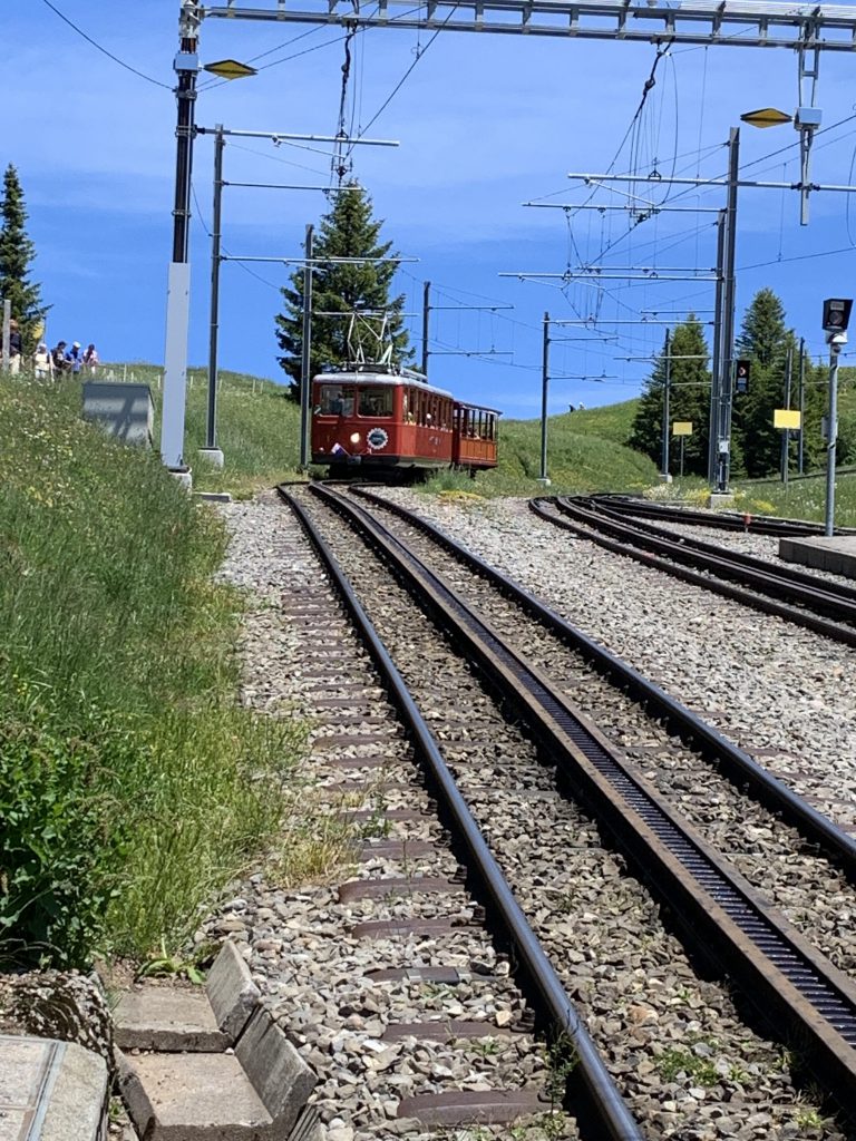
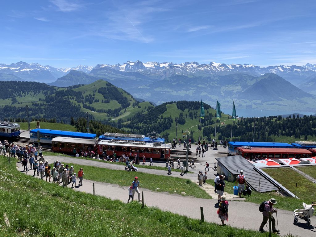
The Felsenweg ends at Rigi First, where the path widens as it ascends Rigi Rotstock. There you’ll find another picnic opportunity, open meadows, and great views of Rigi Kulm. Soon the trail meets up with the Staffelhoeheweg and with it the railway that comes up from Vitznau and at the Rigi Staffel station you’ll also meet the railway coming up from Arth (one is blue, the other red).

Past Staffel, you’ll cross the railway line and then the trail once again steepens as it moves past a myriad of restaurants and hotels. Soon you’re at the top, where hoards of tourists stream out of railway cars and spill into the Berggasthoefe for a taste of Aelplermagronen, Roesti, Schabziger, meringue, and the menu du jour. We missed out on all that and headed straight to the very top, where you can climb to the first floor of a radio tower with absolutely breathtaking views.
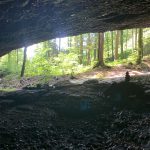
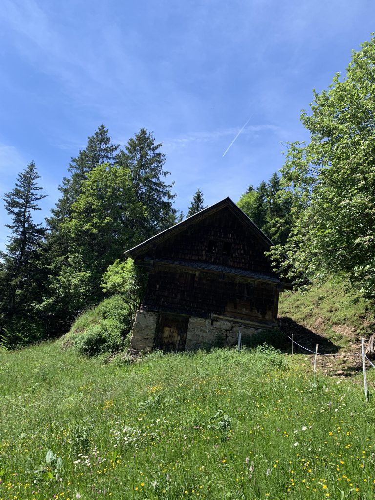
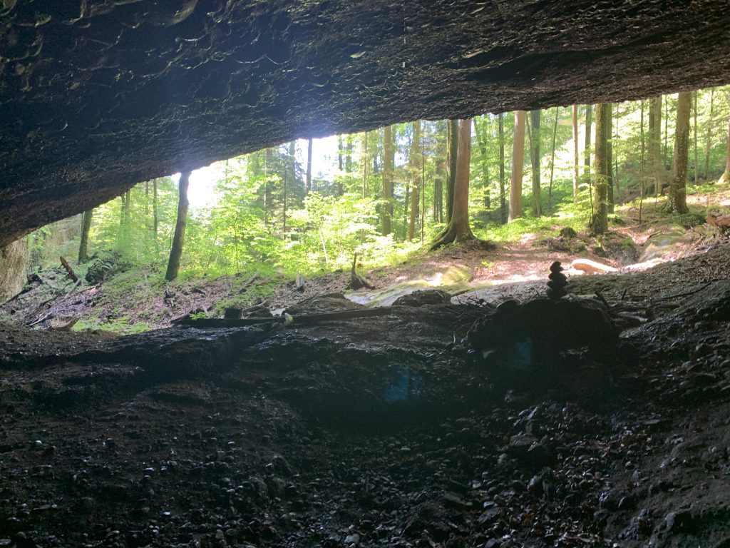
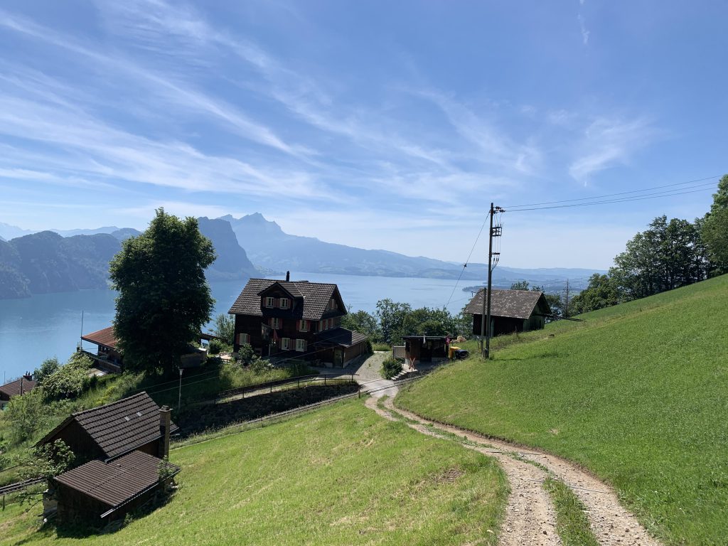
On the way down we chose the Romiti trail in Rigi-First, which drops steeply downhill through meadows dotted with farm houses where the hay crop was being worked on. Make sure not to miss the short spur trail to the cave in Gruebisbalm, that the Wildbach has carved into the Nagelfluh over the milleniums. Then it’s back to Vitznau, the origin of the Rigibahn, and across the small village back to your car. Or bus or ship. A lovely hike altogether.
Alternate Routes
- There is a large network of hiking trails. You could start in either Weggis or Arth.
- If you want to avoid the steepest uphill and downhill sections, take the cable-car from Kräbel to Rigi Scheidegg, hike to Rigi Kulm, then take the railway back down to Kräbel or Arth
Things to Consider
- There are many transportation options if you don’t want to hike. Railways head up to Rigi Kulm from Arth and Vitznau, a gondola heads up from Weggis, and a cable-car traverses from Kräbel (Oberarth) to Rigi Scheidegg.
Not so great