Schafer Peak via Green Monarch

The Monarchs consist of a forested ridge rising a steep 3,000 feet out of Lake Pend Oreille’s eastern arm. Starting from Johnson Saddle, trail #69 hops along the ridge, climbing first an unnamed viewless peak above 5,000 feet, then Green Monarch Mountain with spectacular views across the lake, the Cabinets, and into the Selkirks. The last hop is Schafer Peak, which once served as a fire-lookout, and provides views southwards towards massive Packsaddle Mountain.
Location
  • Coeur d’Alene Mountains
Rating
3.6 out of 5
Difficulty
More Difficult (steep sections)
Distance
9.4 miles
Duration
4:46 hours moving time (Hiking)
Elevation Gain
2,408 feet
High Point
5,217 feet (Schafer Peak)
Low Point
4,539 feet (Trailhead)
Features
  • Mountain
  • Outing Type
  • Daytrip
  • Trail Type
  • Out-and-back
  • Trailbed
    Packed dirt, loose rocks
    Trail#
    68, 69
    Water
  • None
  • Camping
    • There are campsites just below Green Monarch and at Schafer Peak. Both are dry.
    Conditions
    • Good, except for the last quarter mile towards Schafer Peak, which is littered with downed trees and fairly overgrown.
    Administration
  • Kaniksu National Forest
  • Status
  • Unprotected
  • Maps
    USGS
  • Packsaddle Mountain
  • Fees & Permits
  • None required
  • (None required)
    Open To
  • Hikers
  • Dogs
  • Horses
  • Mountain Bikers
  • ()
    Directions
  • From Sandpoint head east on ID-200 to Clark Fork. Turn right onto Stephen Street and follow it across the railroad tracks, then turn left on what is now called S River Road (ie, the paved road). Follow that road across the Clark Fork River, about .7 miles, then turn right onto Johnson Creek Road (gravel). Follow Johnson Creek Road (FR #278) for about 2.5 miles to a Y, bearing left and uphill. Keep going for another 7 miles (a single-lane gravel road) to the intersection with FR #1066. There is parking for a few cars right at the trailhead, but for more parking, especially if you’re pulling a trailer, drive into the hiking trail a couple hundred yards (it is a double-track) for a larger parking area and turnaround.
  • Season
    June – October
    Resources
      Date
      June 17, 2017

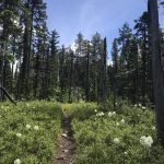
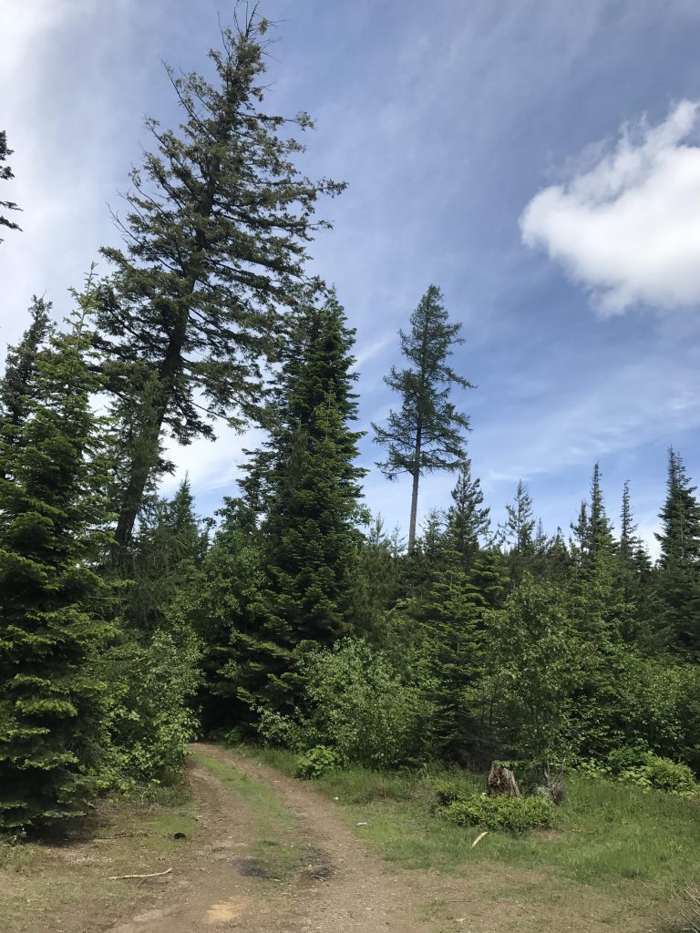
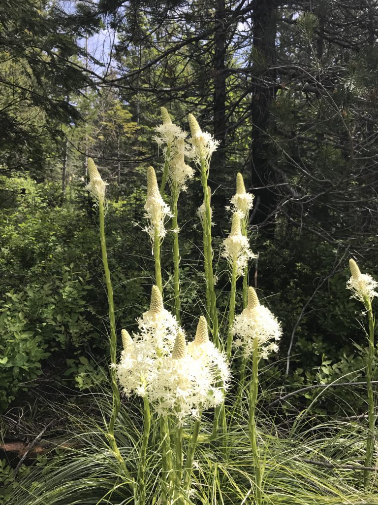
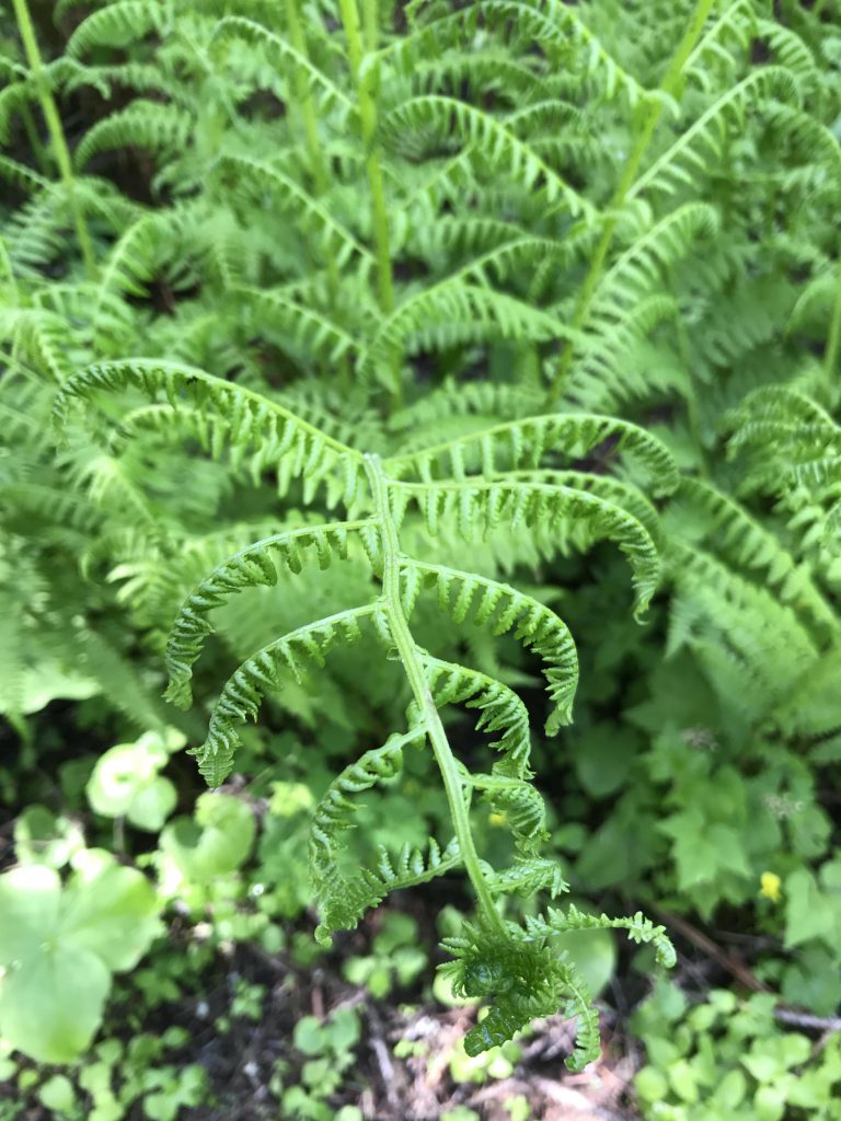
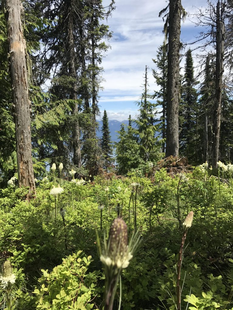
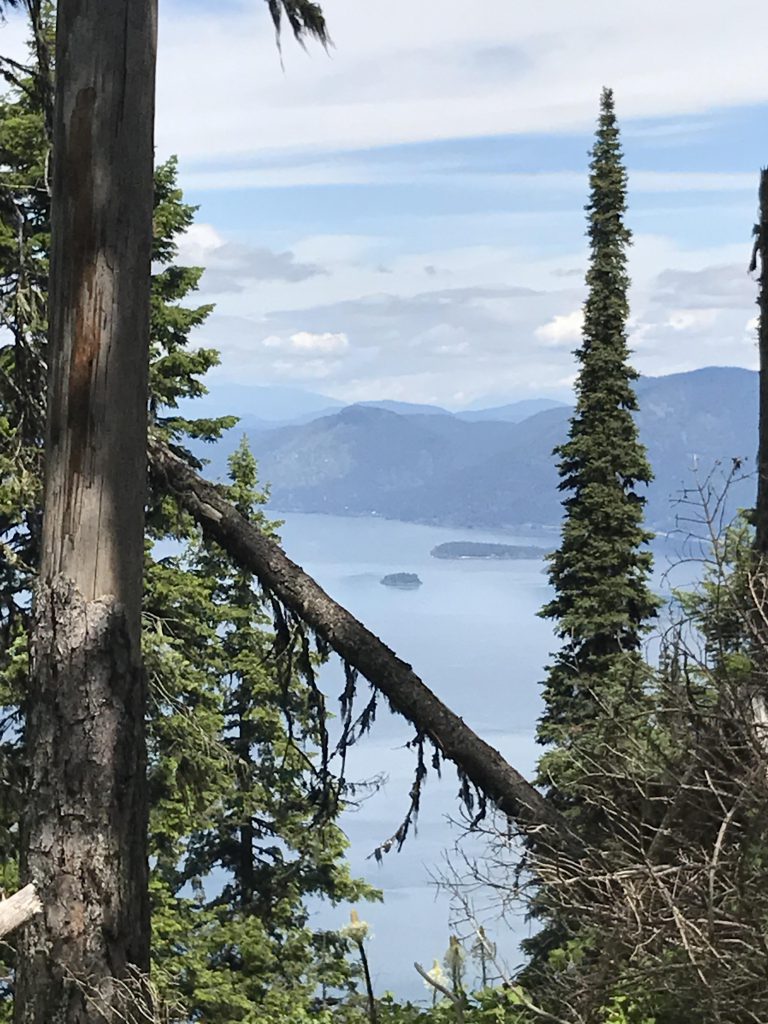
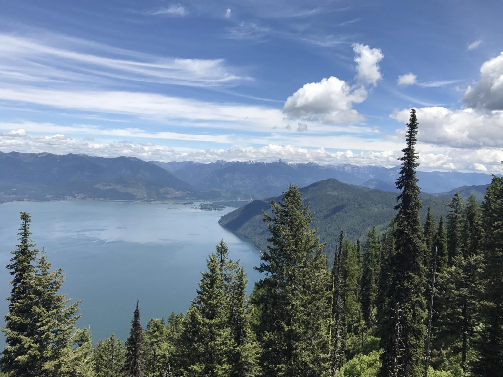
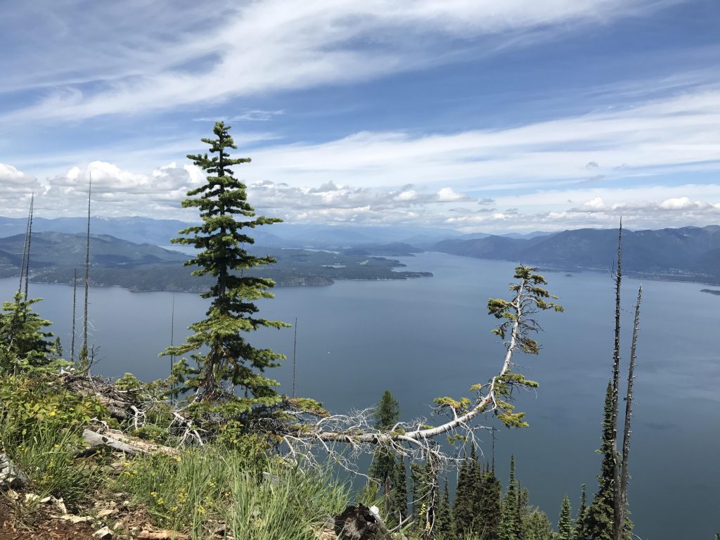
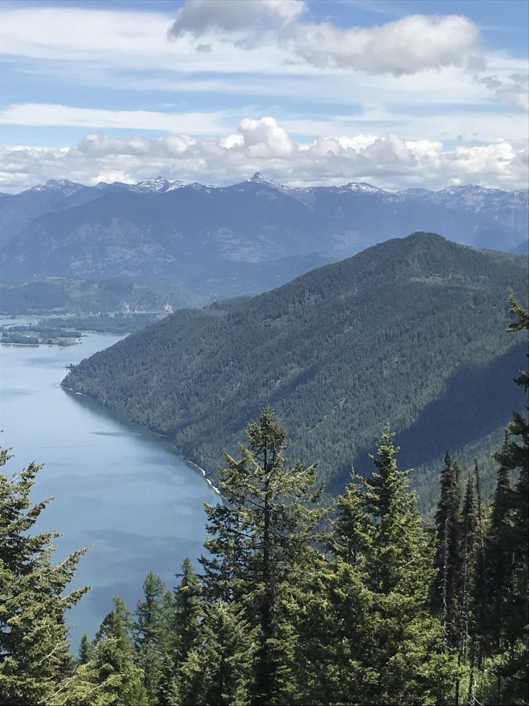
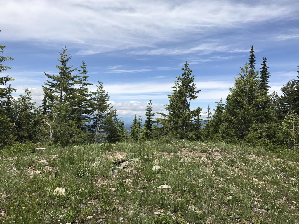
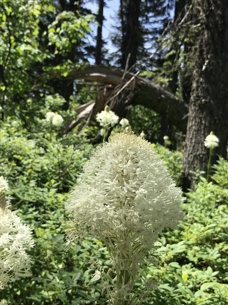
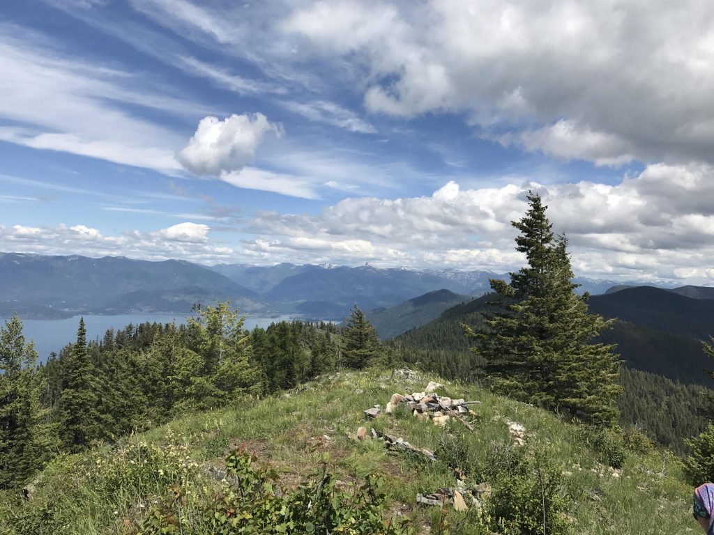
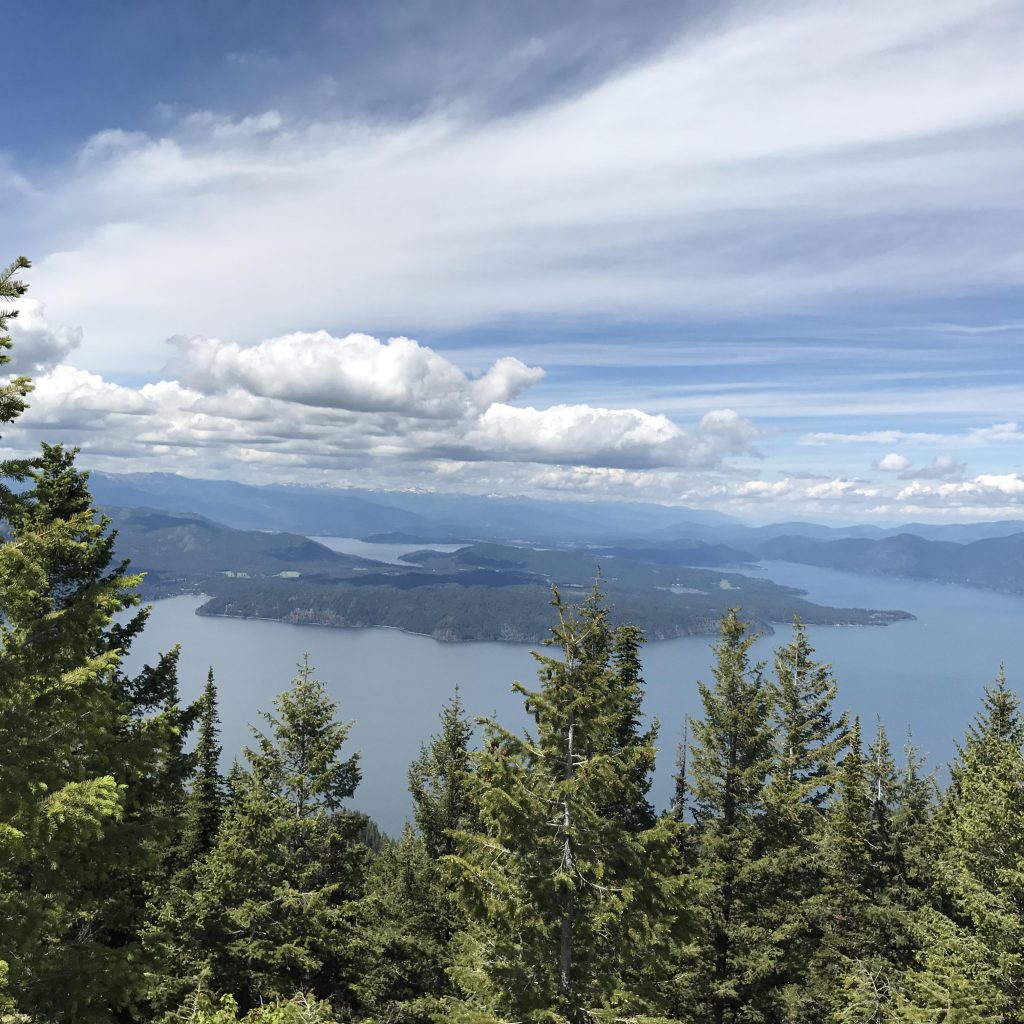
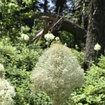
      From Johnson Saddle trail #69 follows an old logging road for about a quarter mile, then moves upwards and left into the woods as a single-track. The first peak is “bagged” at the one-mile mark, but this one is pretty much completely hemmed in by fir and larch, so you won’t see much other than beargrass (lots of that!), wildflowers, and ferns. The trail then drops down the other side and bottoms out a bit after the 2-mile mark. Then it’s uphill for about another mile to the top of Green Monarch Mountain. The best views, however, can be had just before that peak, in a spot where the trees suddenly retreat and you get a spectacular view across the northern parts of the lake from Mineral Point on the west side to the Pack River Flats in the north, the town of Hope and the Idaho Cabinets across the lake, and the Clark Fork River delta, framed by Scotchman Peak to the east. A real treat!

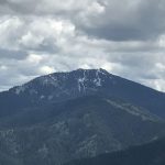
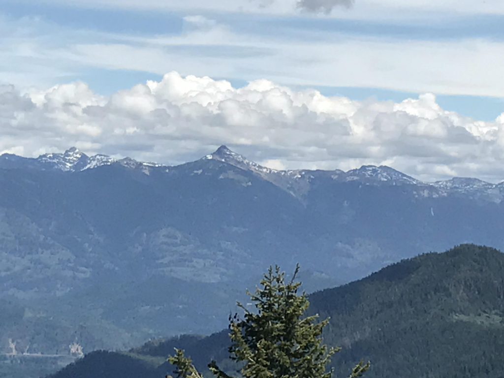
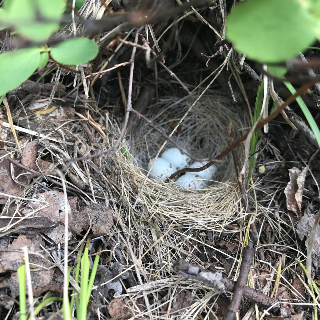
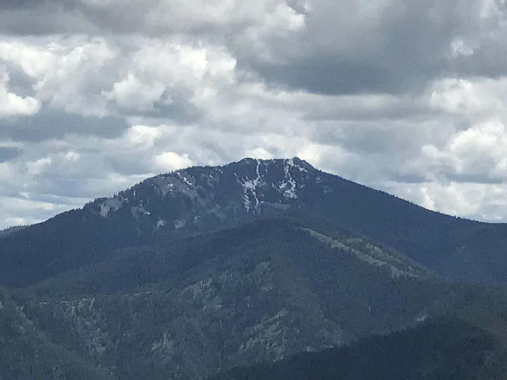
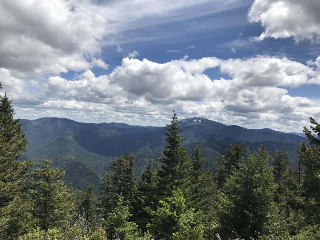
      After that, the actual Green Monarch peak is a rather uneventful hump, as new growth limits the views in all direction. We did find some pretty bird eggs, though. Then it’s down the other side, with that section of trail rather steep in places. Beware. As you head downhill the views open up to the south and you can see massive Packsaddle Mountain in the distance, its peak still covered with snow in June. To the west you stare at Schafer Peak and the looming 600-foot ascent. 

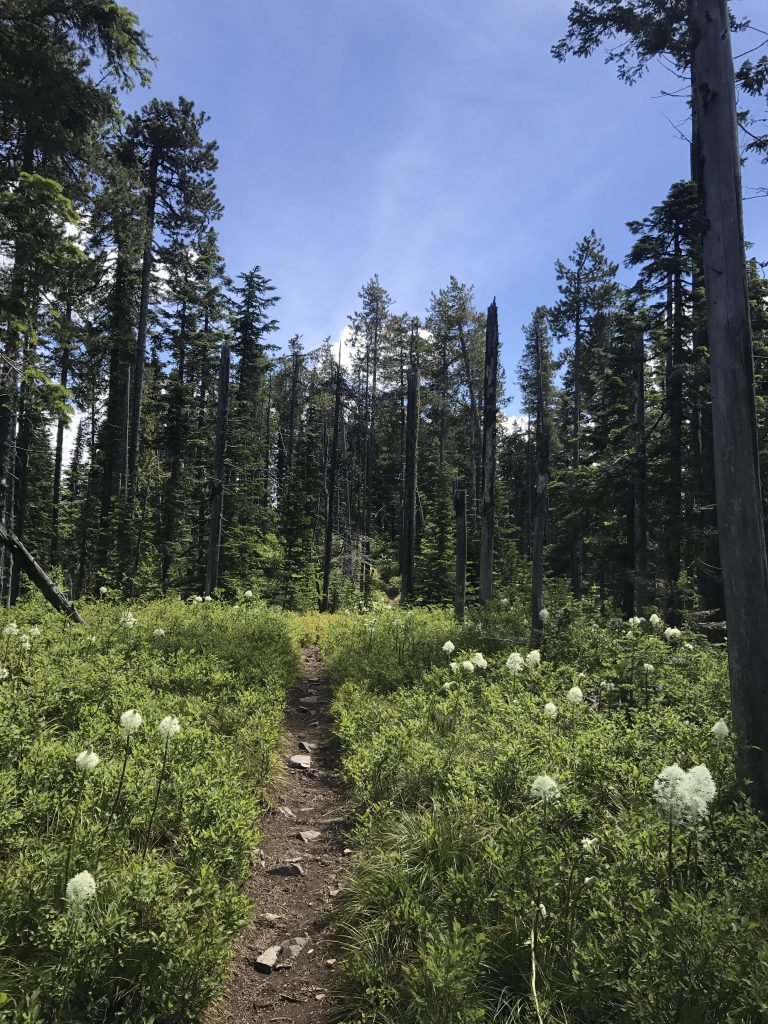
      Just before the 4-mile mark the trail bottoms out and meets up with FT #105, which heads down to FR #1063. Go straight, even though the path is half-blocked by a rotting log. Then it’s uphill on a nice single-track, but the tree canopy gets very light here and the brush encroaches on the trail. There are many downed trees, which someone only recently cleared! How lucky!

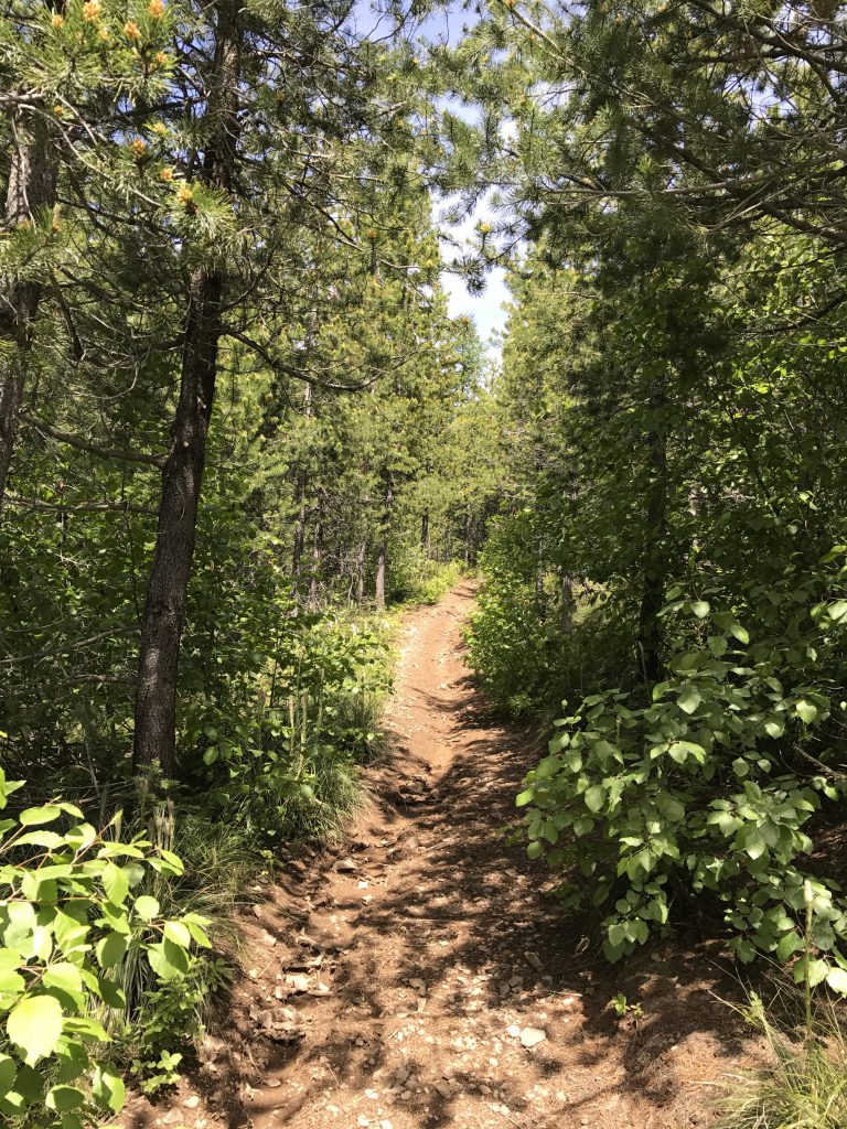
      Continue on upwards on the single-track, which eventually will spit you out onto an old logging road, making for easier hiking. The trail does move away into the woods once again after a bit, all the while climbing. There are a fair number of downed trees on the last quarter mile, and these all need to be climbed over. When you get to a talus slope you’re just minutes below the peak.

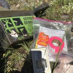
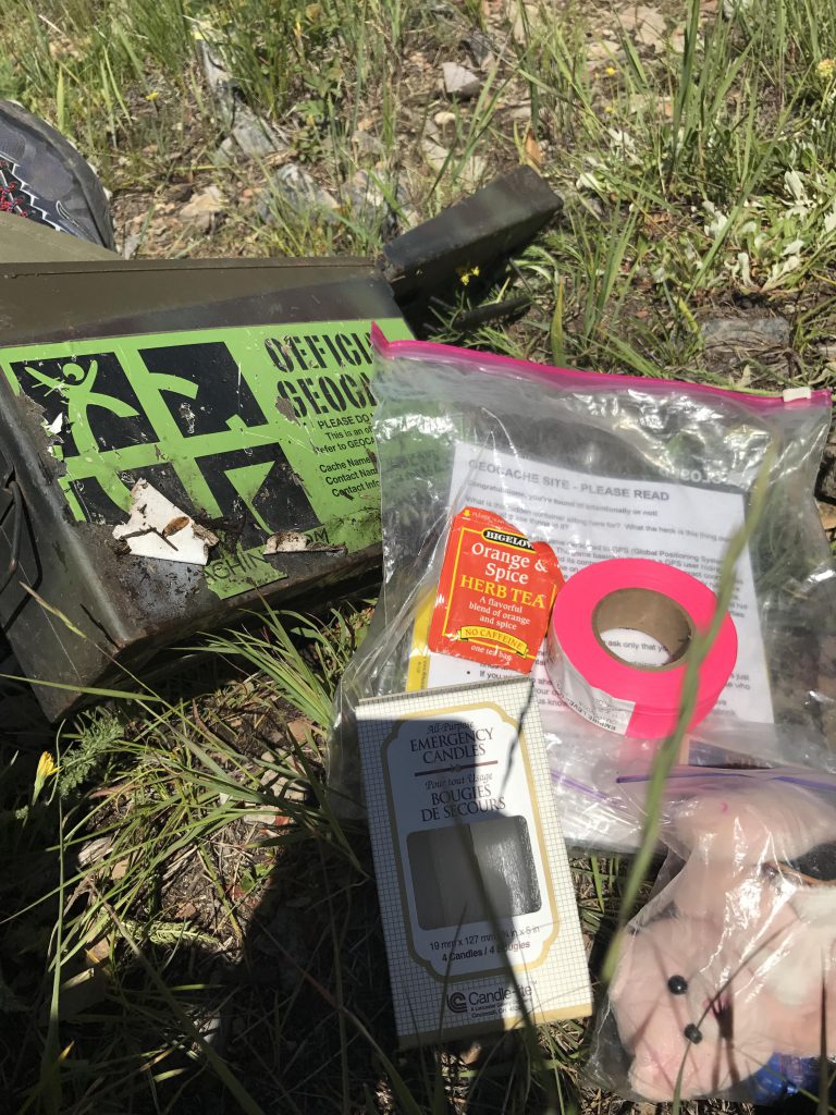
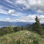
      The only thing left of the old lookout tower are a few boards, the concrete footings, a large firering and 360-degree views that couldn’t get any better. The log outhouse that used to be there is collapsed, so you are on your own in that regard. You may find TP in the geocache hidden on the peak, though. If you are into geocaching make sure to sign the log. The cache is in excellent shape and full of goodies! TFTH!

      Alternate Routes

      • For a shorter hike to Schafer Peak, follow FR #278 to Tepee Creek, then switch to #1063 and follow that for a bit over a quarter mile to FT #105 leading up to the ridge

      Things to Consider

        Not so great

          Trailhead
          Beargrass
          Most of the trail is single-track
          Viola
          Fern
          Most of the view along the trail is filtered by trees
          First views of Lake Pend Oreille through the trees
          Fields of beargrass along the ridges
          View towards Clark Fork. Monarch Ridge in the foreground, Cabinets in the background
          Prominent Scotchman Peak
          View northwest towards Sandpoint
          Monarch Ridge dropping off steeply into Lake Pend Oreille
          Naughty on Green Monarch
          Green Monarch Mountain. The views are better slightly to the east
          Bird eggs
          Wildflowers are everywhere
          Beargrass meadow
          Packsaddle Mountain
          Schafer Peak
          Geocache on Schafer Peak. It’s full of stuff! Come get it! TNLN
          View towards Mineral Point from Schafer Peak
          We did not find the obligatory carcass and thus the obligatory mud bath….
          What Schafer looked like in the 1960s, with the tower still standing