- Cabinet Mountains
- At the junction of 135/137
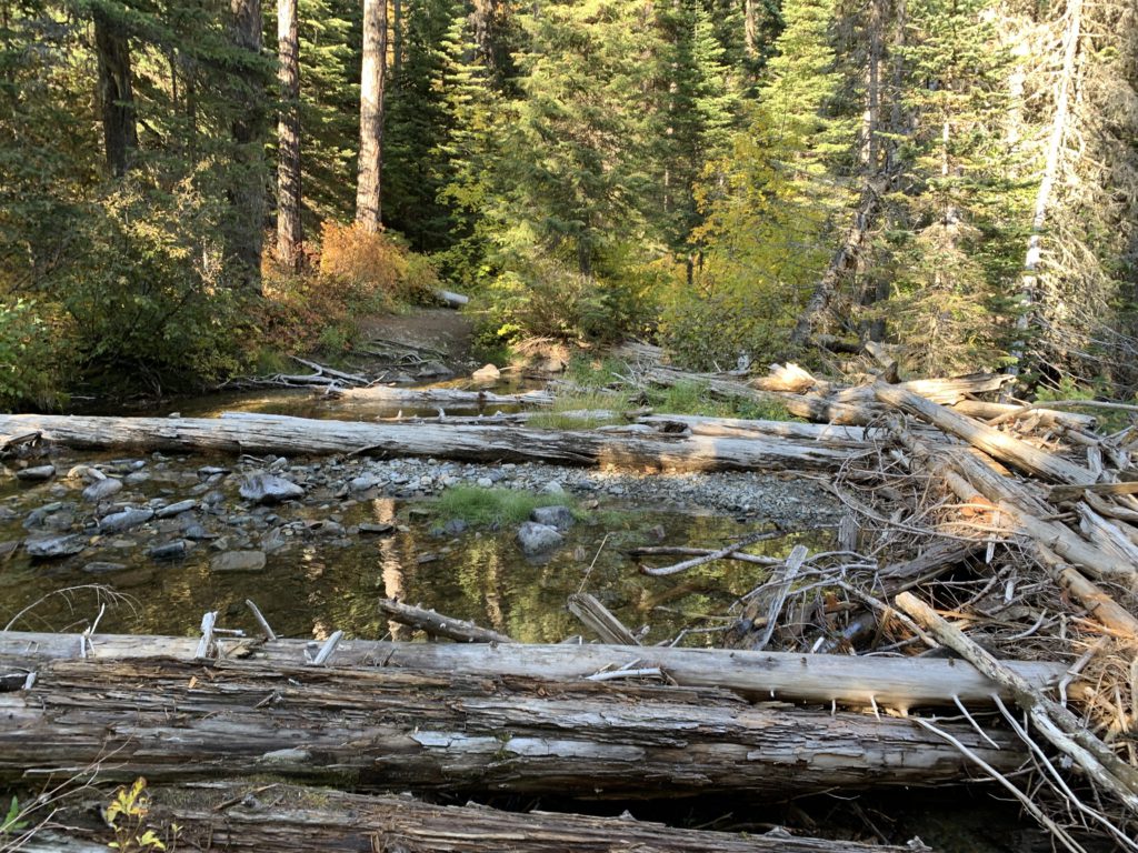
- At the upper Flower Creek crossing beneath Sugarloaf Mountain
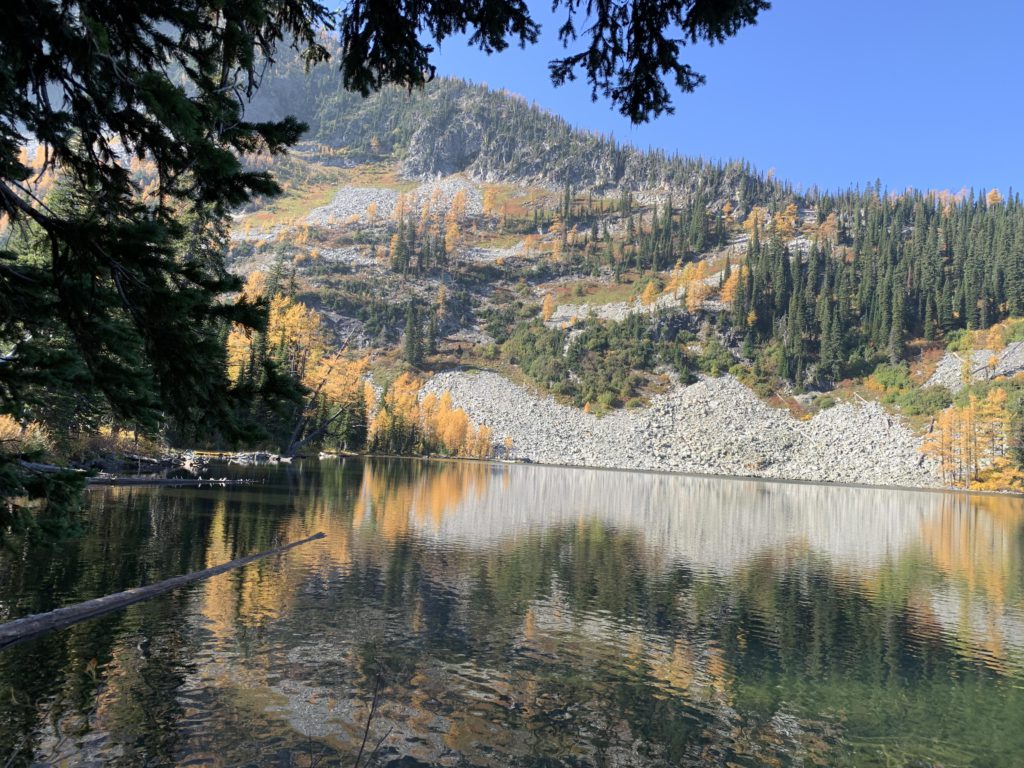
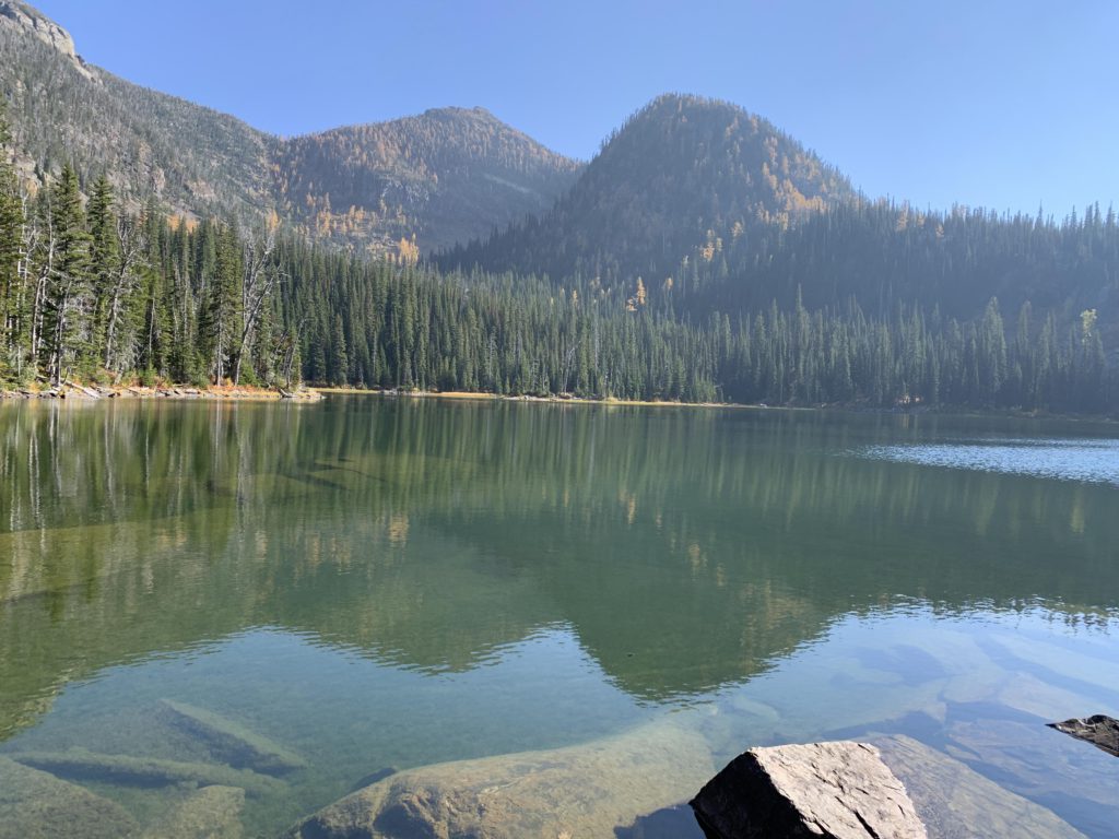
- Lower Sky Lake
- Upper Sky Lake
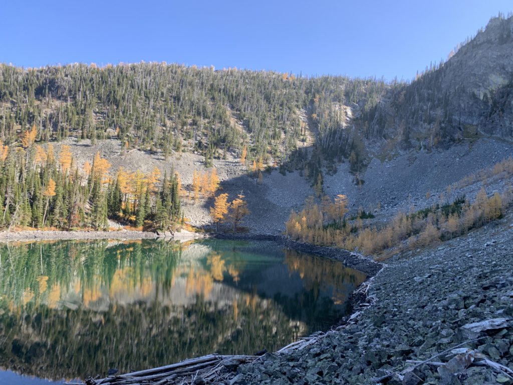
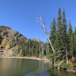
- Upper Hanging Valley Lake
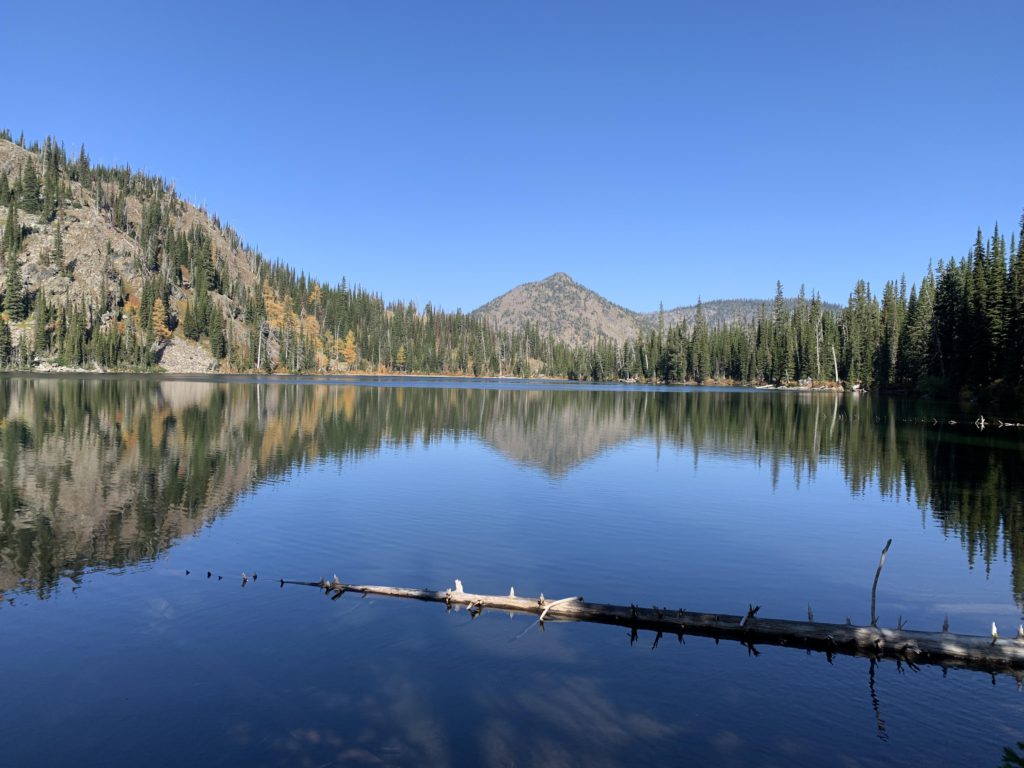
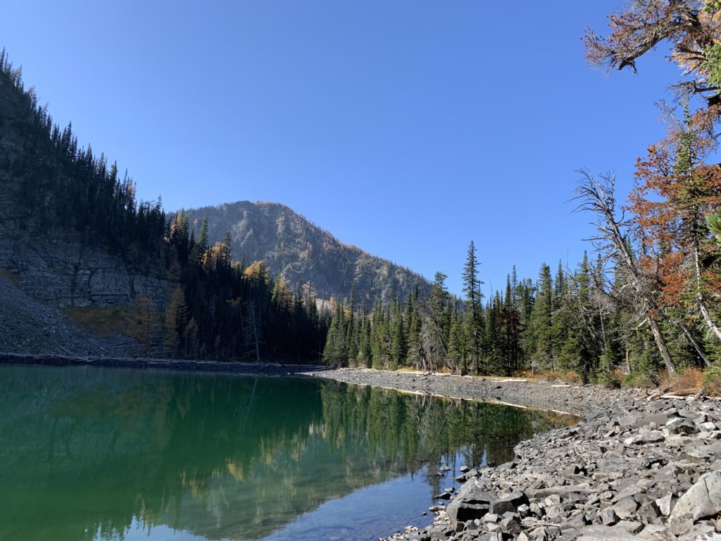
- Lower Hanging Valley Lake
- The Flower Creek trail (137) to lower Sky Lake was in good condition
- There is no official trail to upper Sky Lake, but a decent path extends at least to the far end of lower Sky Lake
- Upper Sky Lake to Upper Hanging Valley is completely off-trail, following mere game trails
- The Hanging Valley Creek trail (135) was in fair condition between the 2 lakes; from the lower lake to the 135/137 it was in poor condition with narrow tread, steep grades, frequent blowdown, and treacherous footing (scree)
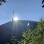
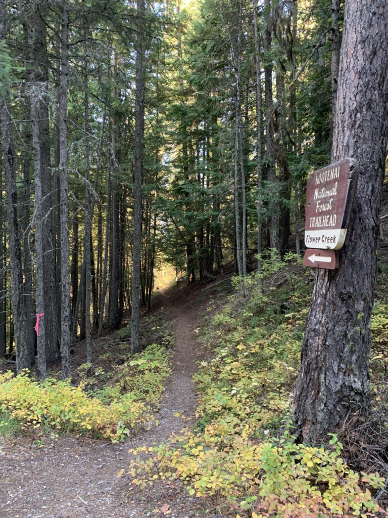
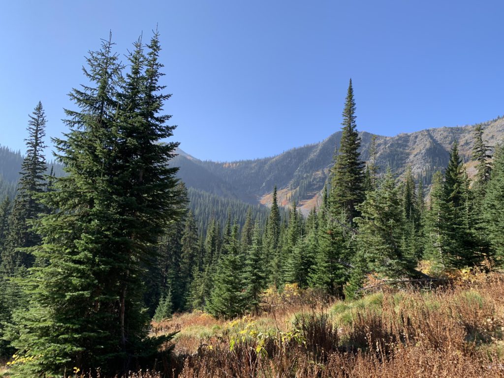
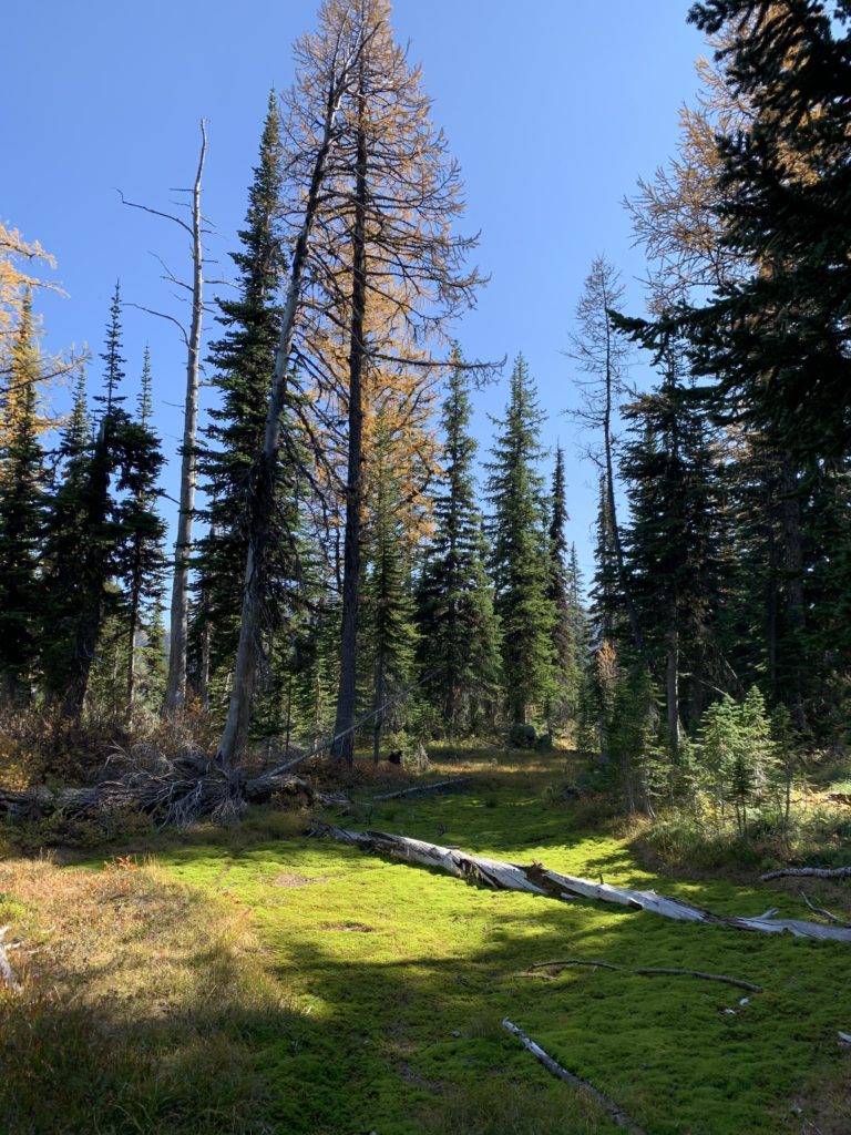
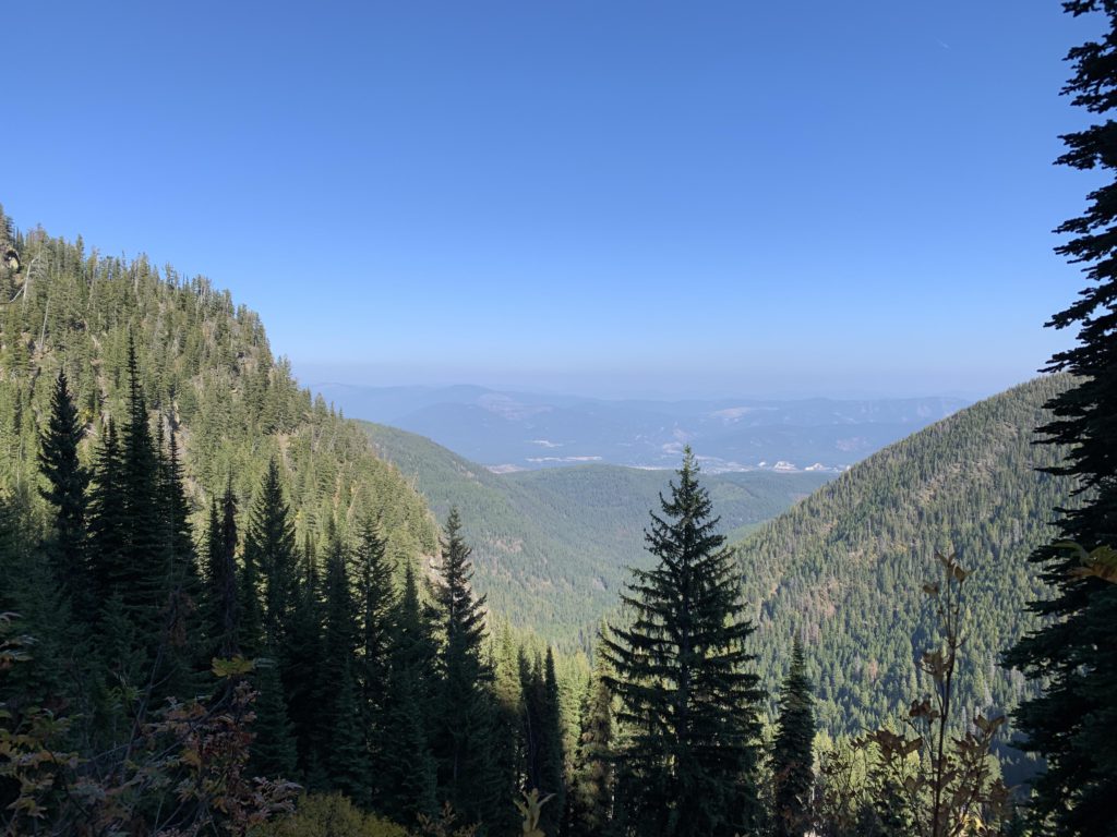
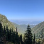
From the trailhead above Flower Creek, trail #137 gradually drops down through an open pine forest to the creek over the course of a mile and a quarter. On approach to the creek, the forest increasingly changes to cedar and hemlock and it stays that way for most of the length along the creek. At the 2-mile mark, the trail enters the wilderness, now steadily climbing. Just ahead of the junction with trail #135 (Hanging Valley), the elevation gain increases, aided by a few switchbacks. Some views open up, primarily of the opposite hillside, an eastern ridge of Treasure Mountain. At the junction, featuring a nice campsite, you have to decide on clockwise or counterclockwise. The Hanging Valley trail is steep and treacherous in places, thus we opted to do that downhill; hence our decision for a counterclockwise direction.
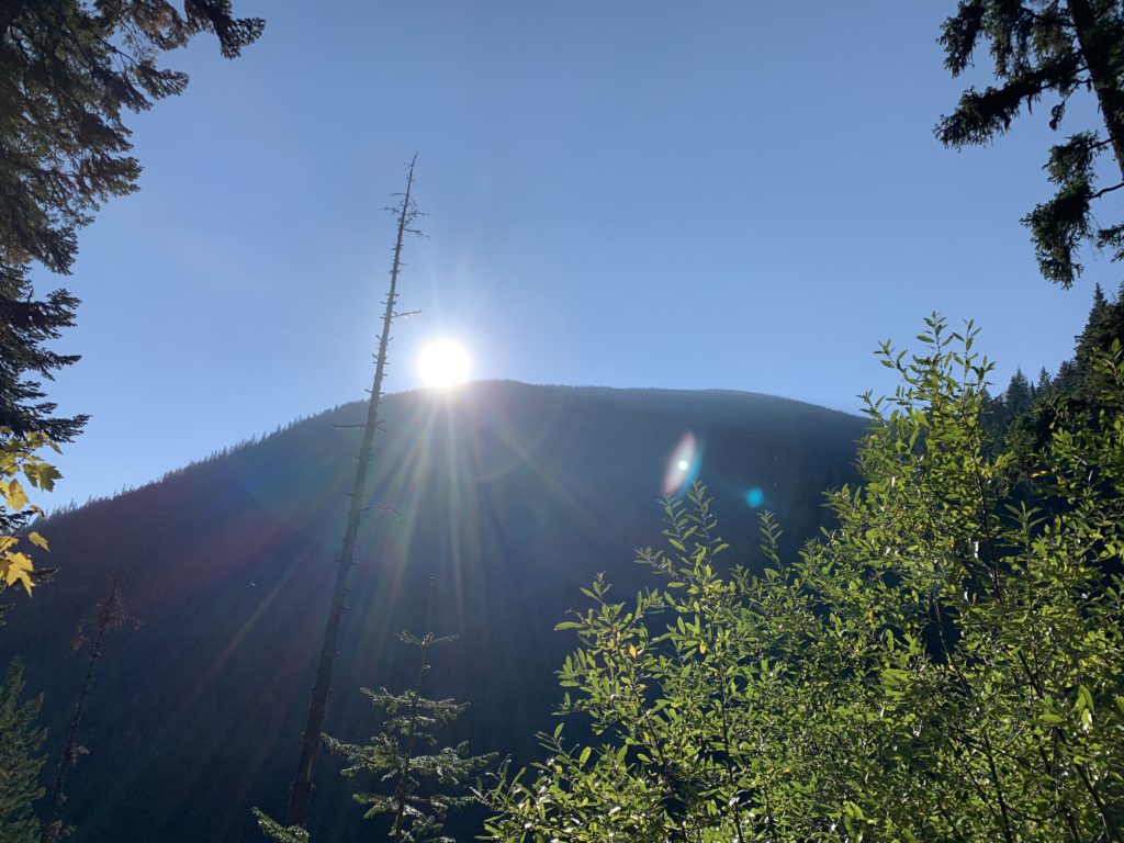
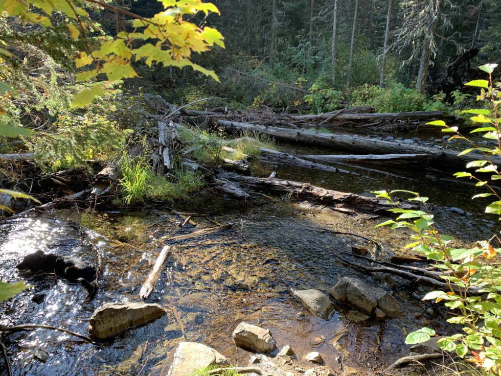
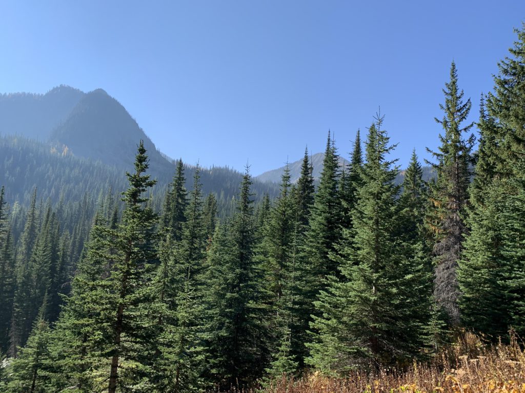
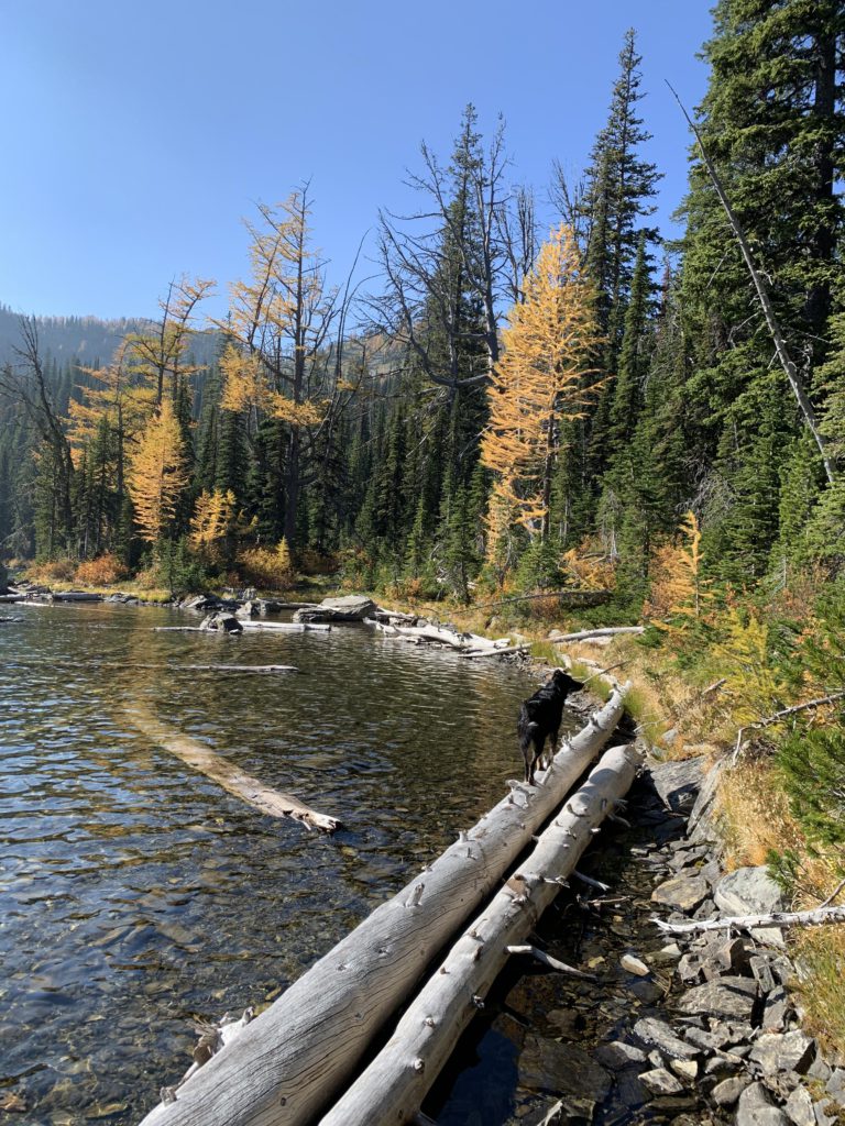
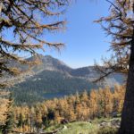
Continuing on #137, the trail steadily climbs as it parallels the creek, shaded by woods, and quite a bit cooler than the earlier part, with the late-season sun unable to reach the valley floor. Soon, however, the forest yields to patches of alpine meadows and at the 4.5-mile mark is the intersection with trail #360. Bear left through more meadows and grand views of Sugarloaf Mountain and the hillside home to the Sky Lakes. The trail drops to a first fording (rock-hop in October) of Flower Creek and a pretty campsite in the woods. Then, the trail emerges from the woods onto the shrub-covered flanks of Sugarloaf, variegated in orange fall colors. This section can be a bit muddy, and is probably even worse earlier in the year. At the 5-mile mark Flower Creek is crossed again (there are 3 or 4 branches to Flower Creek in its headwaters), and then the trail lifts off the valley floor, climbing 1,000 vertical feet to Lower Sky Lake. To get to the lake, though, Flower Creek once again needs to be crossed, and this crossing is quite wide, but still more or less a rock hop in October. The trail then skirts the lake’s east side for a bit before approaching the shore.
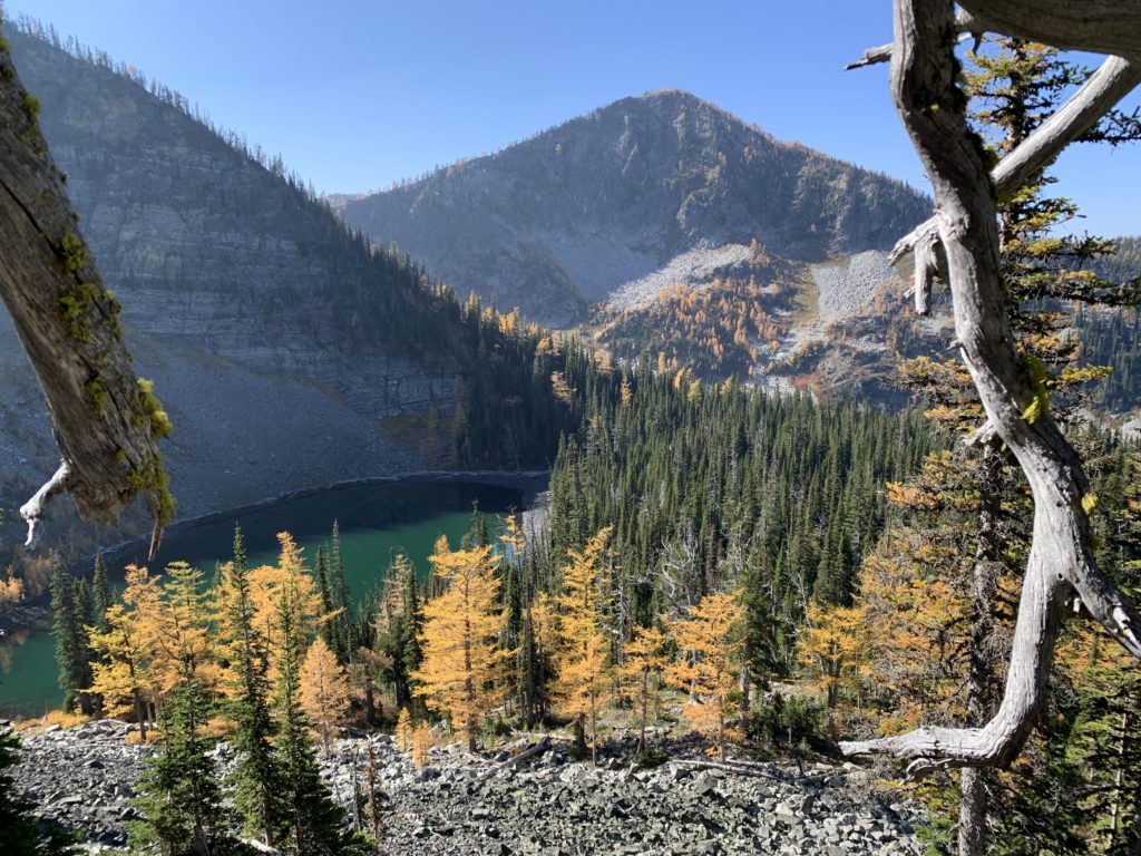
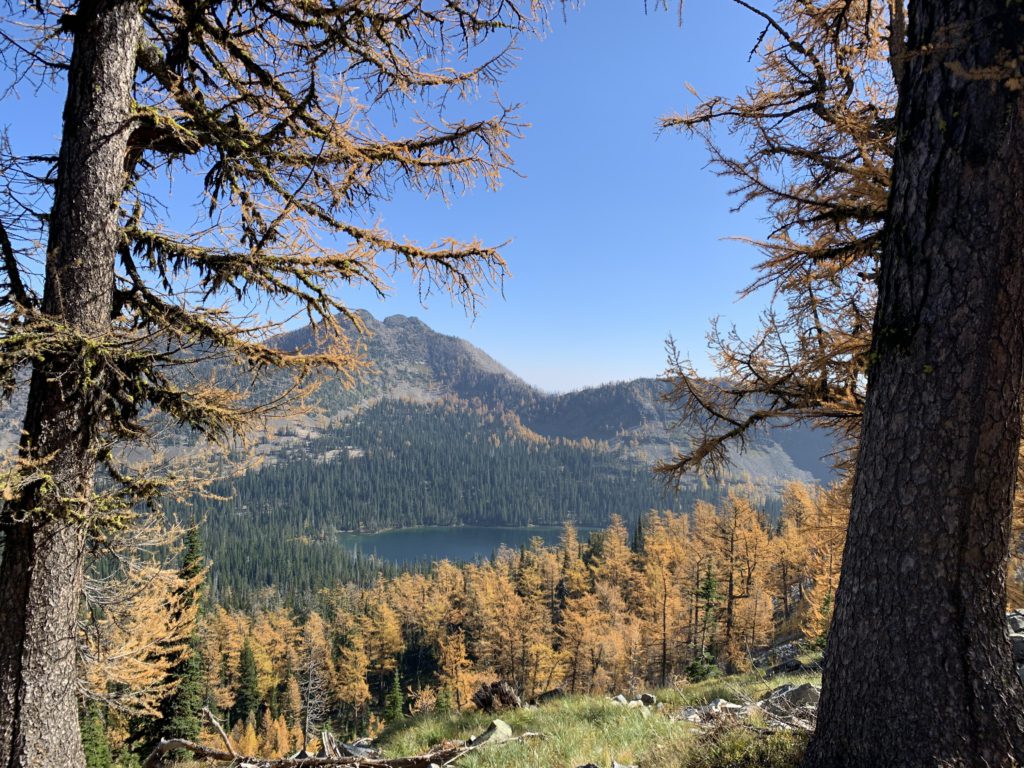
There are campsites in the woods as well as right on the shore. The lower lake is picturesque, but mostly bordered by shrubbery. A fair angler’s trail traverses the lake’s eastern, swampy side. At the southern end, you’ll have to look for a faint tread following the lake’s inlet. We picked a game trail slightly ahead of the inlet, as it skirted a talus slope, then climbed higher and somewhat overshot our target as we ended up slightly above Upper Sky Lake.
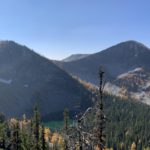
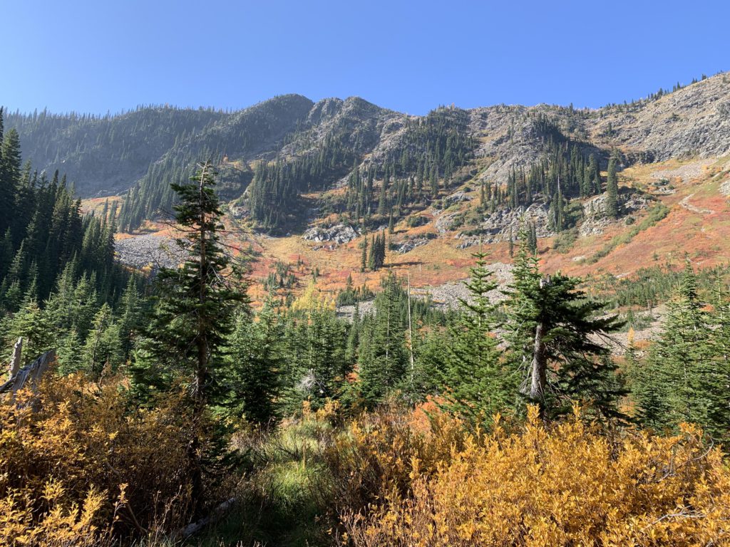
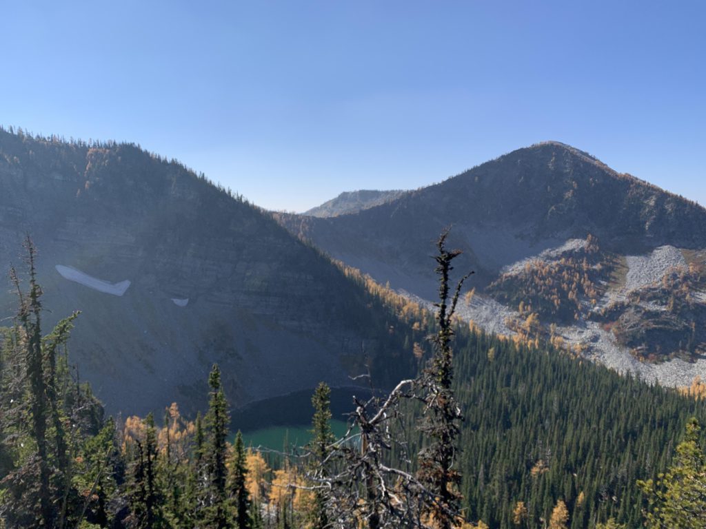
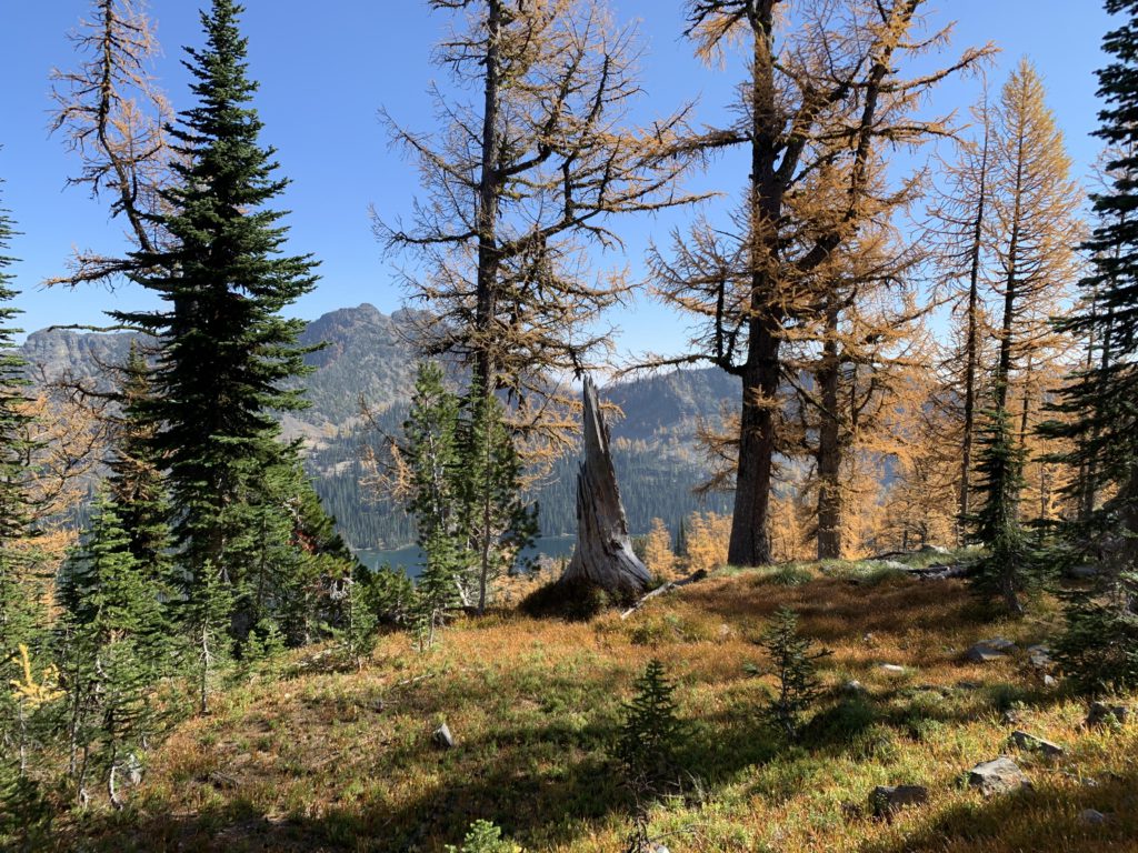
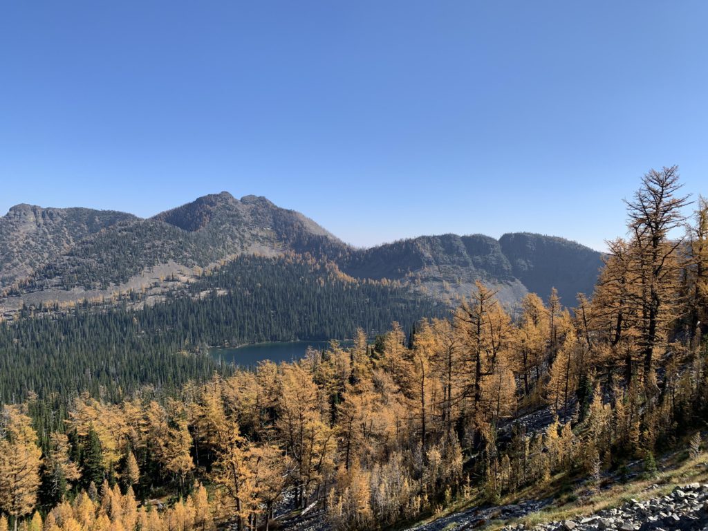
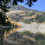
Upper Sky Lake, about a mile from Lower Sky Lake, is very different compared to its namesake. The lower lake’s shrubbery is replaced with talus around the entire perimeter, and the forest consists almost exclusively of larches, whose orange contrasted prettily against the black rock. A faint trail leads to the eastern end of the lake and a nice campsite. Beyond the campsite, all vestiges of trail end, with the next waypoint a dip in the ridge between Sky Lake and the Hanging Valley lakes. It is about half a mile and 500 vertical feet to the northeast. Initially, the ascent crosses an easy forested knoll, but the rest of the way is mostly talus and it just gets steeper and steeper.
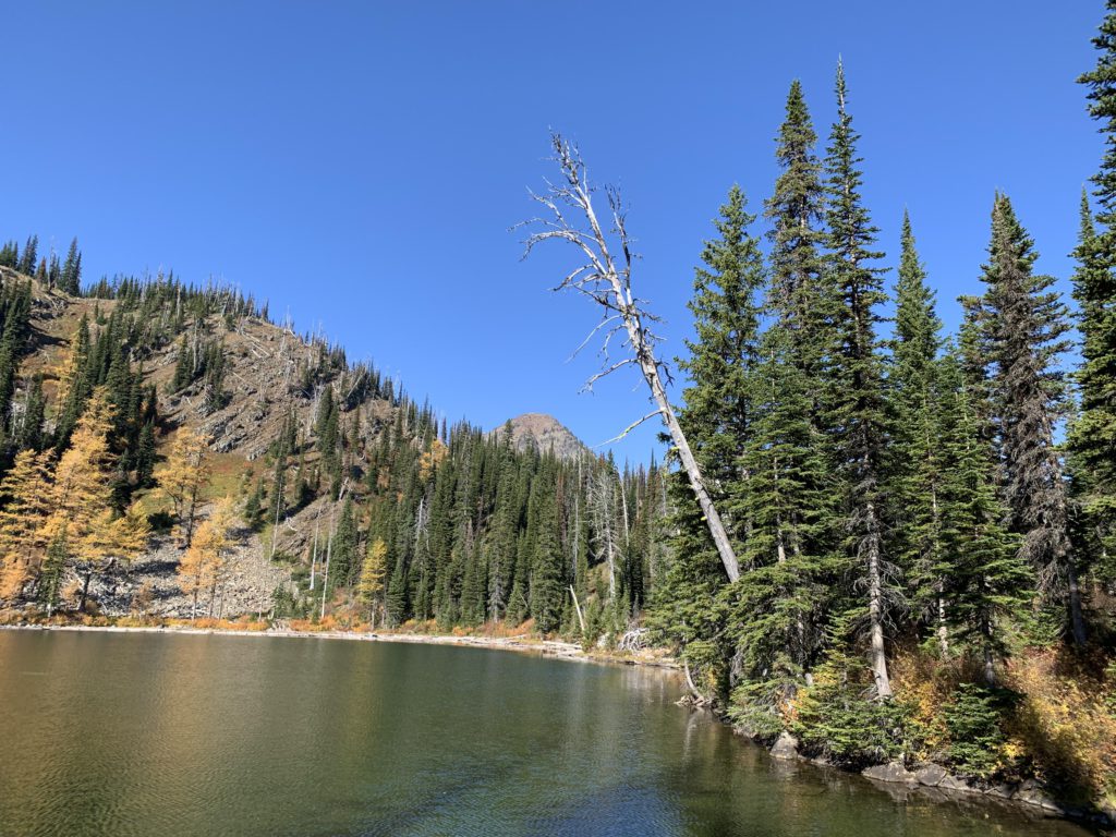
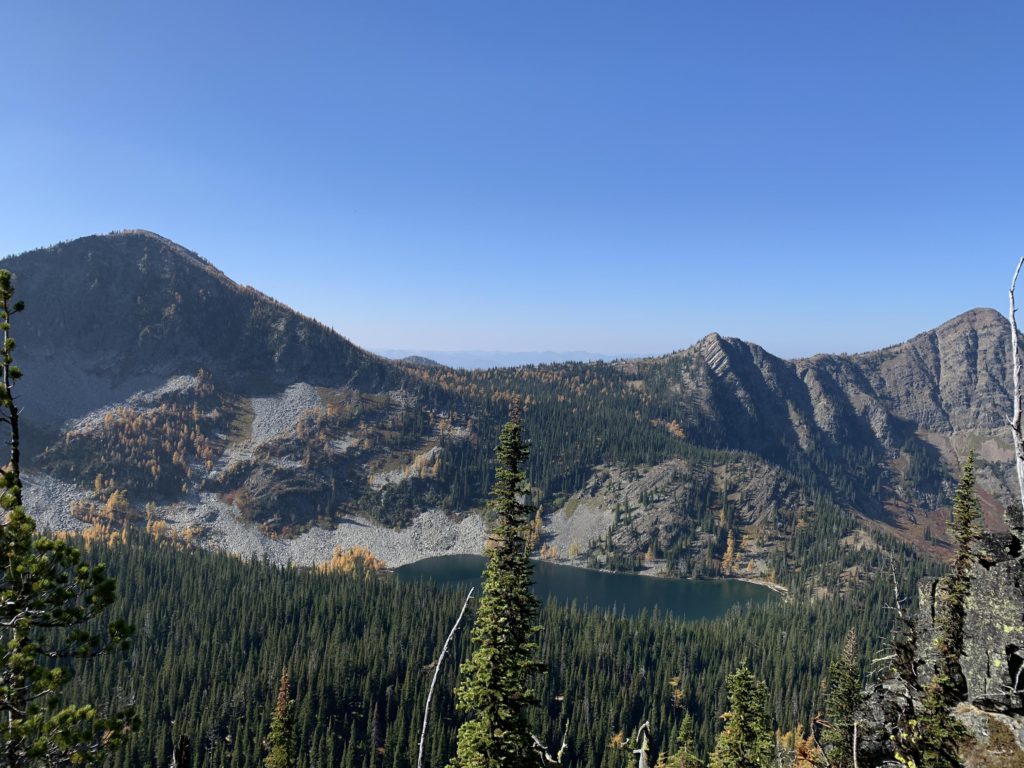
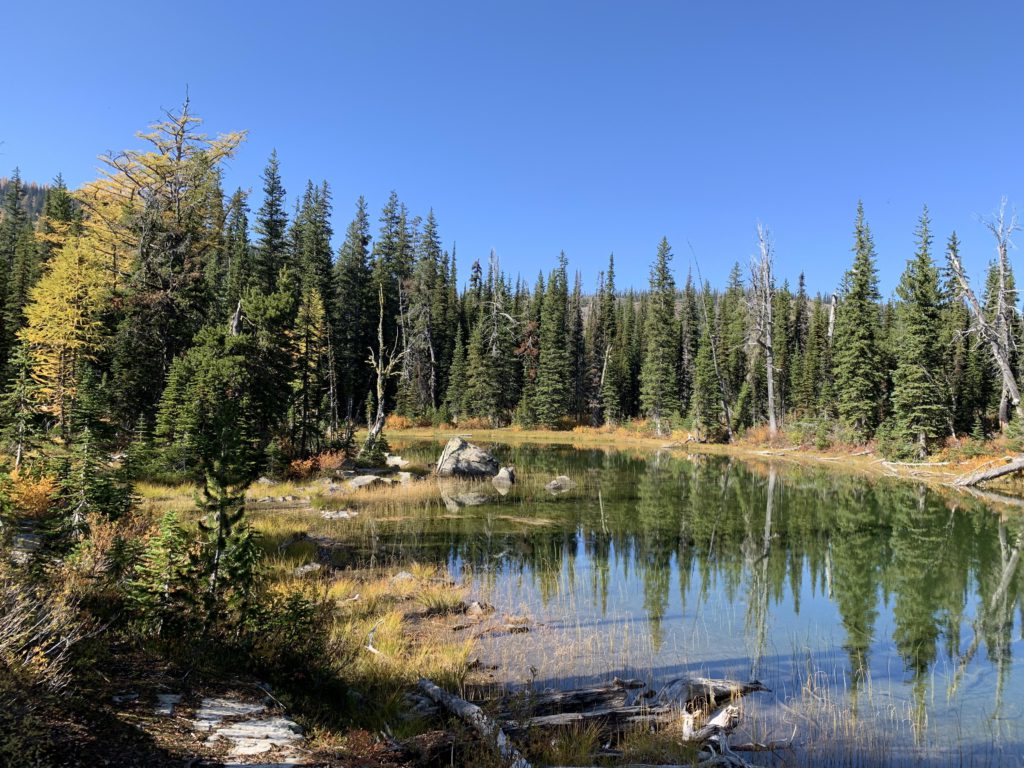
At the ridgetop you are treated to excellent views of Upper and Lower Sky Lake, as well as Upper and Lower Hanging Valley Lake. The most striking feature, perhaps, was an ocean of brightly-colored larches and the massive peak of Treasure Mountain poking into a deep-blue sky above Upper Hanging Valley Lake. A great spot to rest, or even camp (it is dry). The descent to the lake is somewhat easier, even though the vertical drop is 700 feet. There is little talus and the descent is accomplished over nearly a mile, using many easy-to-follow game trails. If your trail scout is thirsty and in dire need of a bath, you may have to fight through the thick shrubbery at the lake’s edge. However, about 20 yards uphill from the lakeshore, a fairly nice trail leads to the lake’s outlet, featuring campsites and easy access to the lake.
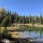
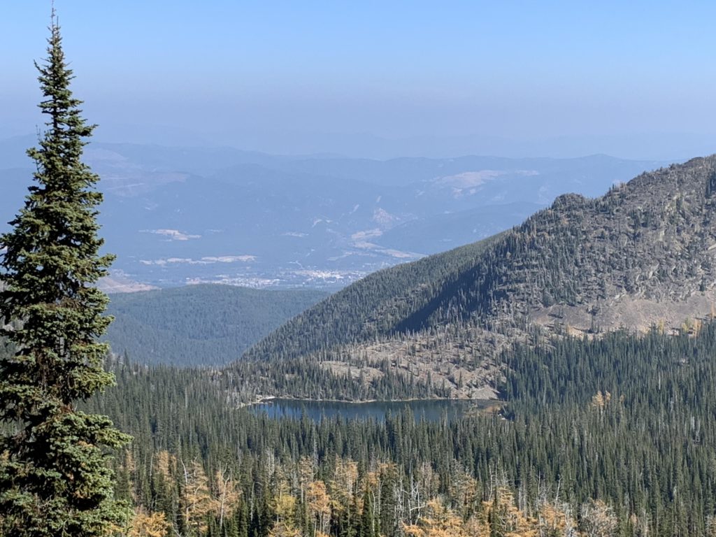
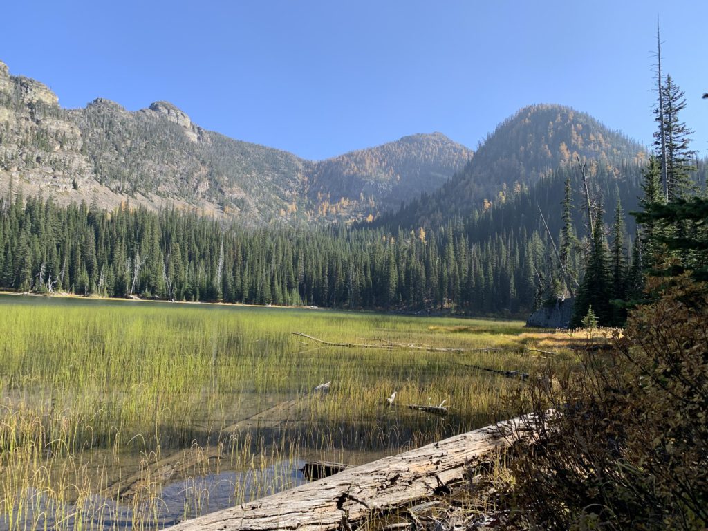
Skirting a small pond near the lake’s outlet, the trail continues north, in fairly good condition, and drops to the lower lake in a mile. That lake’s southern half, where the trail meets up with the lake, is exceedingly shallow. A better location is the lake’s outlet, where several boulders create small islets in the lake.
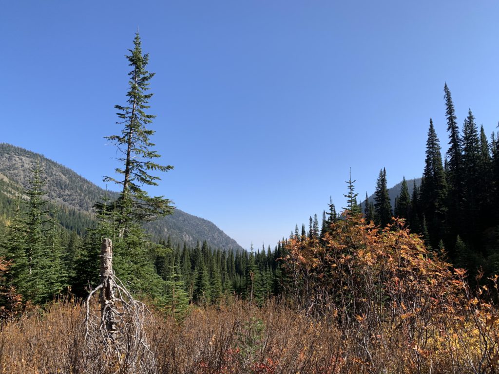
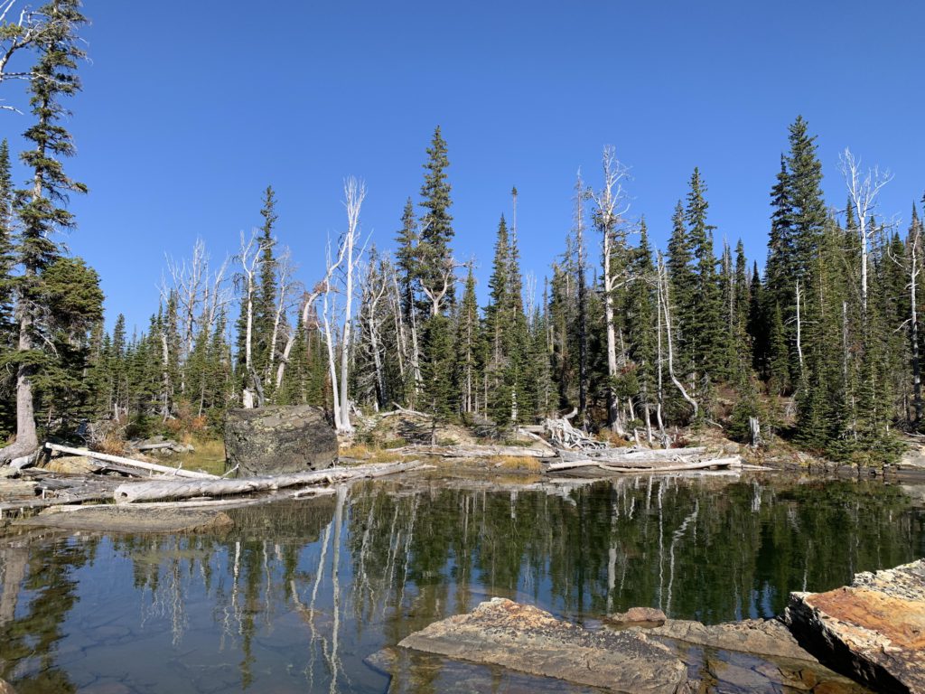
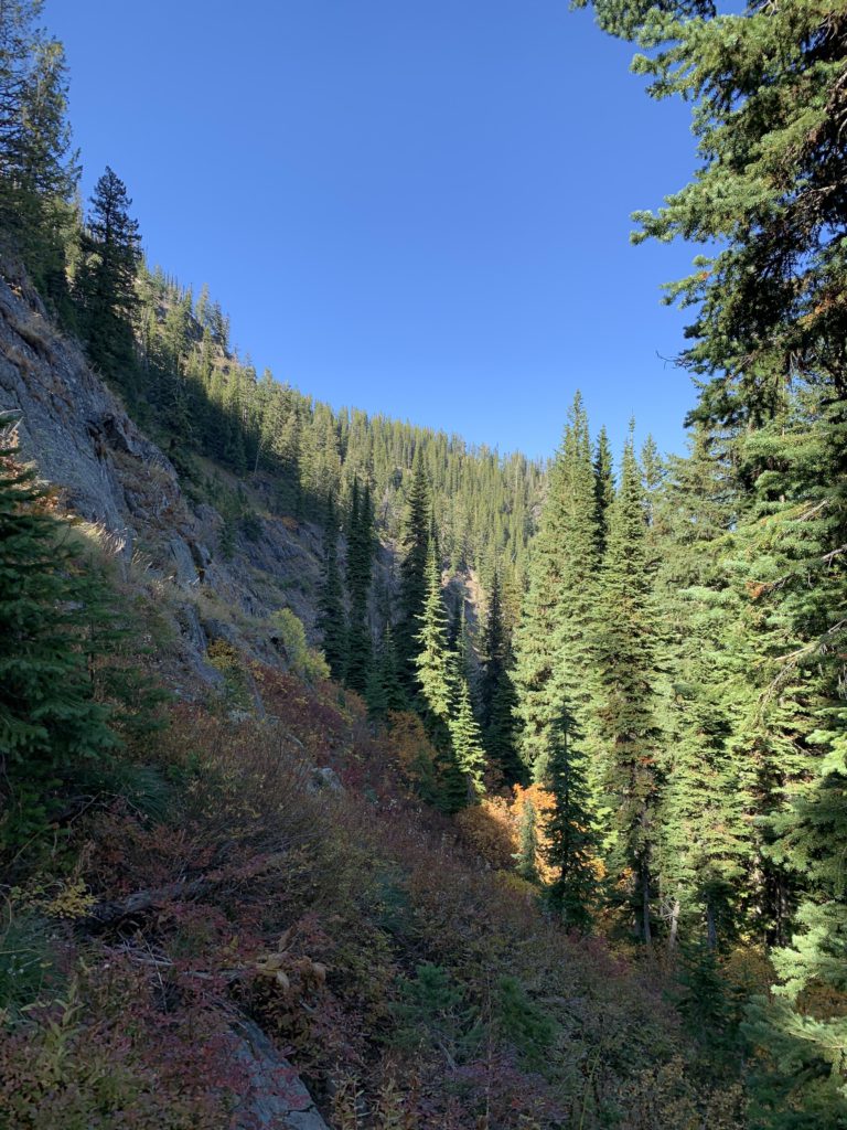
Beyond Lower Hanging Valley Lake, the trail gets more precarious. The tread becomes faint and narrow, sometimes crossing large granite slabs, sometimes moving along sheer cliffs. The footing is dubious, consisting, more often than not, of scree. The slope is steep almost throughout: A few times we weren’t sure whether we were following a dry creek bed or a trail. Typically, the trail heads downhill, but at some point it suddenly turned and re-ascended the hillside we’d just come down on, only to just as abruptly turn once again (we promptly lost the trail) and head downhill again. You’ll be glad when you’re back at Flower Creek, and the crossing there is quite straight forward, using a number of fallen logs. Then, it’s 3 miles on #137 back to the trailhead.
Alternate Routes
- Trails 15 (Parmenter Connector) and 16 (Flower Lake/Point) are other options from the same trailhead
- Trail 14 (Indian Head) commences a short distance down trail 15
- It’s about 6 miles to Sky Lakes one way; a very popular section
Things to Consider
Not so great