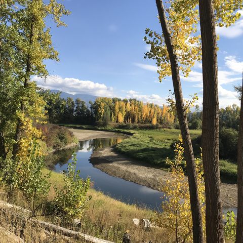
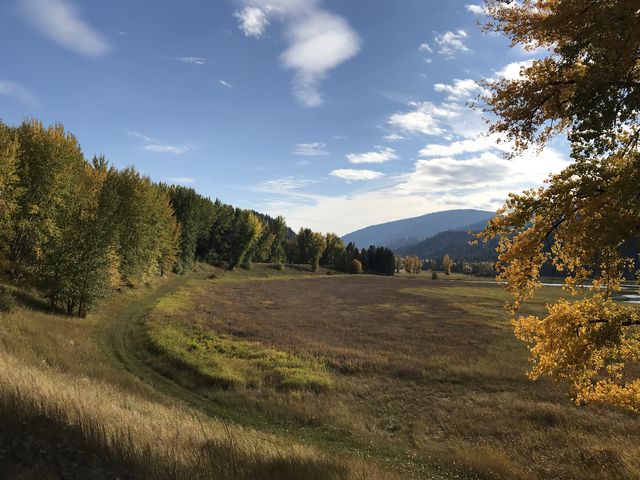
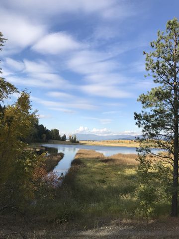
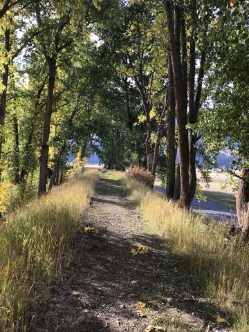
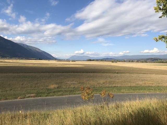
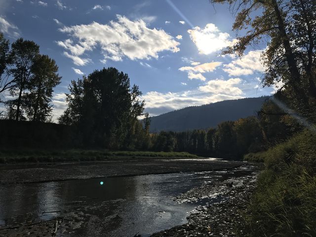
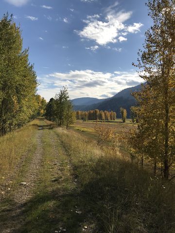
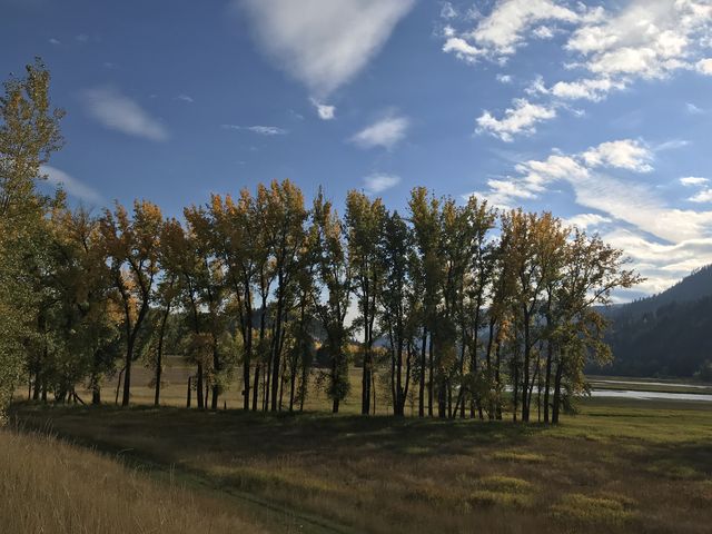
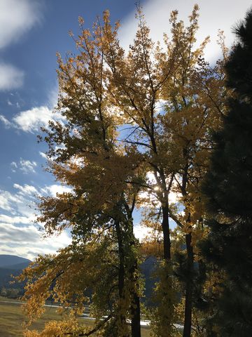
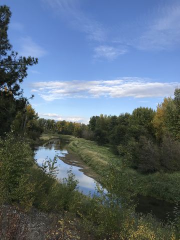
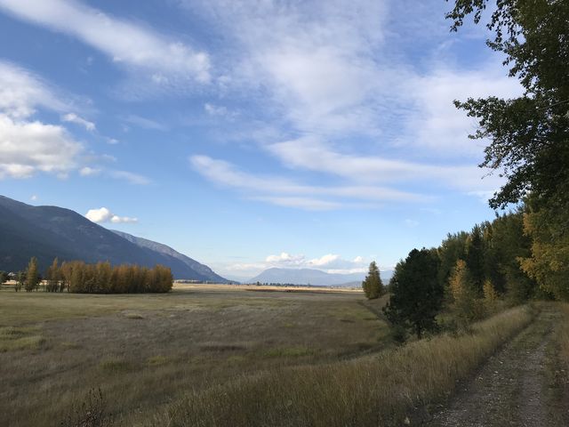
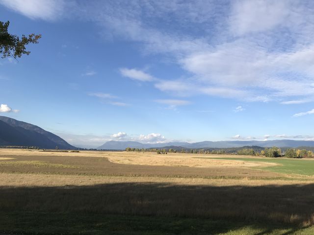
The Deep Creek trail rides atop a levee for two miles along playfully-meandering Deep Creek. Be prepared for stunning fall colors, a surprising array of wildlife, particularly birds (we spotted a pileated woodpecker) and deer, and impressive views of the Kootenai River Valley and the mountains hemming it in on both sides. Additional hiking opportunities abound in the Kootenai Wildlife Refuge, which also features an auto tour.
| Location | Selkirk Mountains |
| Rating | 3.3 out of 5 |
| Difficulty | Easy |
| Distance | 4.3 miles |
| Duration | 1:05 hours moving time (hiking) |
| Elevation Gain | 77 feet |
| High Point | 1,800 feet |
| Low Point | 1,752 feet |
| Trail Type | Out-and-back |
| Trailbed | old twin track |
| Water | None |
| Status | Wildlife Refuge |
| Administration | U.S. Fish and Wildlife Service |
| Conditions | Excellent |
| Permits | None required |
| Camping | Not available |
| Maps | USGS Moravia |
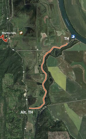
| Trailhead | From US-95 in Bonners Ferry, take Riverside Street (that is the downtown “exit”) west for about 4 miles. Parking is on the righthand side, the trailhead on the left.
Google Directions (48.705043, -116.387595) |
| Season | Year-around |
| Squirrel Density | Leashed dogs not allowed |
| Features | Riverwalk, Grove, Meadow |
| Distance From |
|
| Resources | |
| Nearby Hikes | |
| Date | October 7, 2018 |
Here’s a what the Kootenai Wildlife Refuge has to say about the area:
 “Nestled beside the Selkirk Mountains of northern Idaho, this 2,774 acre refuge provides diverse habitats for a large variety of wildlife including moose, elk, deer, bear, otter, bald eagles, and migratory waterfowl such as mallards, northern pintail, and teal. Kootenai National Wildlife Refuge is located in Idaho’s Panhandle approximately 20 miles south of the Canadian border and 5 miles west of Bonners Ferry, Idaho.
 “Established in 1964 as a migratory waterfowl refuge, Kootenai National Wildlife Refuge provides habitat for more than 220 species of birds, 45 species of mammals, and 22 species of fish. Wetlands, meadows, riparian forests and cultivated agricultural fields (for producing valuable wildlife food crops) are interspersed in the valley bottom adjacent to the west banks of the Kootenai River.
 “Wetlands include open-water ponds, seasonal cattail-bulrush marshes, tree-lined ponds and rushing creeks. The western portion of the refuge ascends the foothills of the scenic Selkirk Mountains which consists of dense stands of coniferous trees and tranquil riparian forests.”
Enjoy this hike? Let us know in the comments below!
© 2016 – 2018 NaughtyHiker. All rights reserved. No duplication without permission.