French Lake

French Lake makes for an interesting side trip when hiking the North Fork of Fish Creek in Montana’s proposed Great Burn Wilderness. It starts about in the middle of that trail and climbs steadily over 3 miles to a bright-green lake with a magic little island. What more could you ask for?
Location
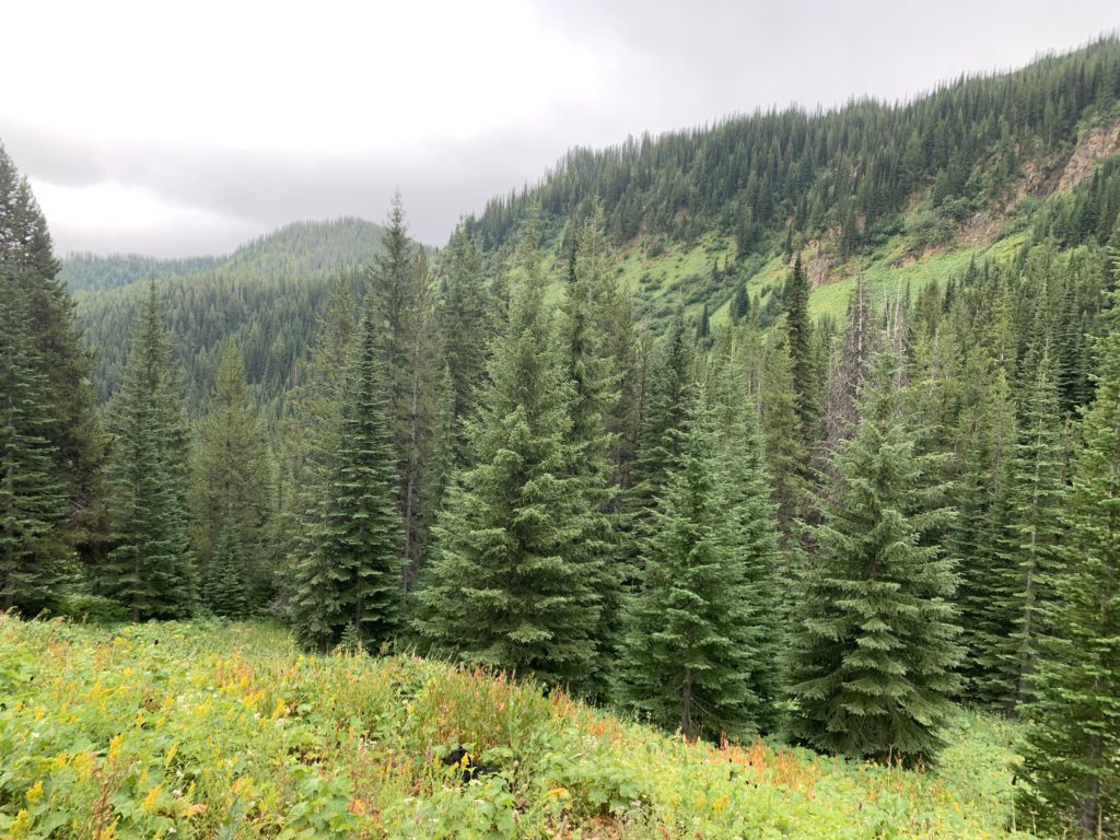
  • Bitterroot Mountains
Rating
3.5 out of 5
Difficulty
Moderate (uphill on a trail obscured by foliage)
Distance
5.8 miles
Duration
2:20 hours moving time (Hiking)
Elevation Gain
1,710 feet
High Point
6,171 feet (French Lake)
Low Point
4,396 feet (Trailhead)
Features
  • Grove
  • Lake
  • Meadow
  • Outing Type
  • Daytrip
  • Trail Type
  • Out-and-back
  • Trailbed
    Packed dirt
    Trail#
    143
    Water
  • French Creek and tributaries
  • French Lake
  • Camping
    • French Lake
    Conditions
    • Good, but foliage obscures the trail in the meadows
    • A few areas were muddy
    Administration
  • Lolo National Forest
  • Status
  • Proposed Wilderness
  • Maps
    USGS
  • Straight Peak
  • Fees & Permits
  • None required
  • ()
    Open To
  • Hikers
  • Dogs
  • Horses
  • ()
    Directions
  • The trailhead is the junction with trail #103, roughly halfway between Clearwater Crossing and the Stateline Trail #738/103 junction. That’s about 6 miles either way. Clearwater Crossing is accessed from I-90 exit #66 (see directions for the Great Burn Loop). There are numerous ways to get onto the Stateline trail: northbound it stretches all the way to Mullan, Idaho (Hoodoo Pass makes for a convenient access point); southwards Fish Lake is ideal (open to ATVs). You can also get to the Stateline trail at Goose Lake via Goose Creek trail #414.
  • Season
    June – October
    Resources
      Date
      August 31, 2020

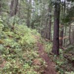
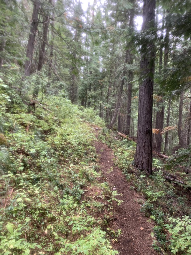
      From the junction with trail #103 next to French Creek, head north and uphill through a shady cedar forest. There are a few switchbacks as the trail lifts off the valley floor, but the going is easy and the trail clear. This changes as you move out of the cedars and into a mixed coniferous forest that is far more open. Soon, thimbleberries rule. About a mile into the hike, the trail crosses French Creek, an easy rock hop this time of the year. The path then stays on the northern side all the way to the lake, steadily climbing and leaving the timbered areas behind.

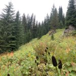
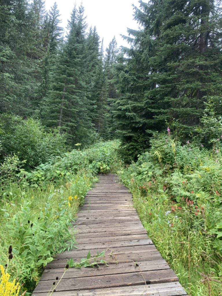
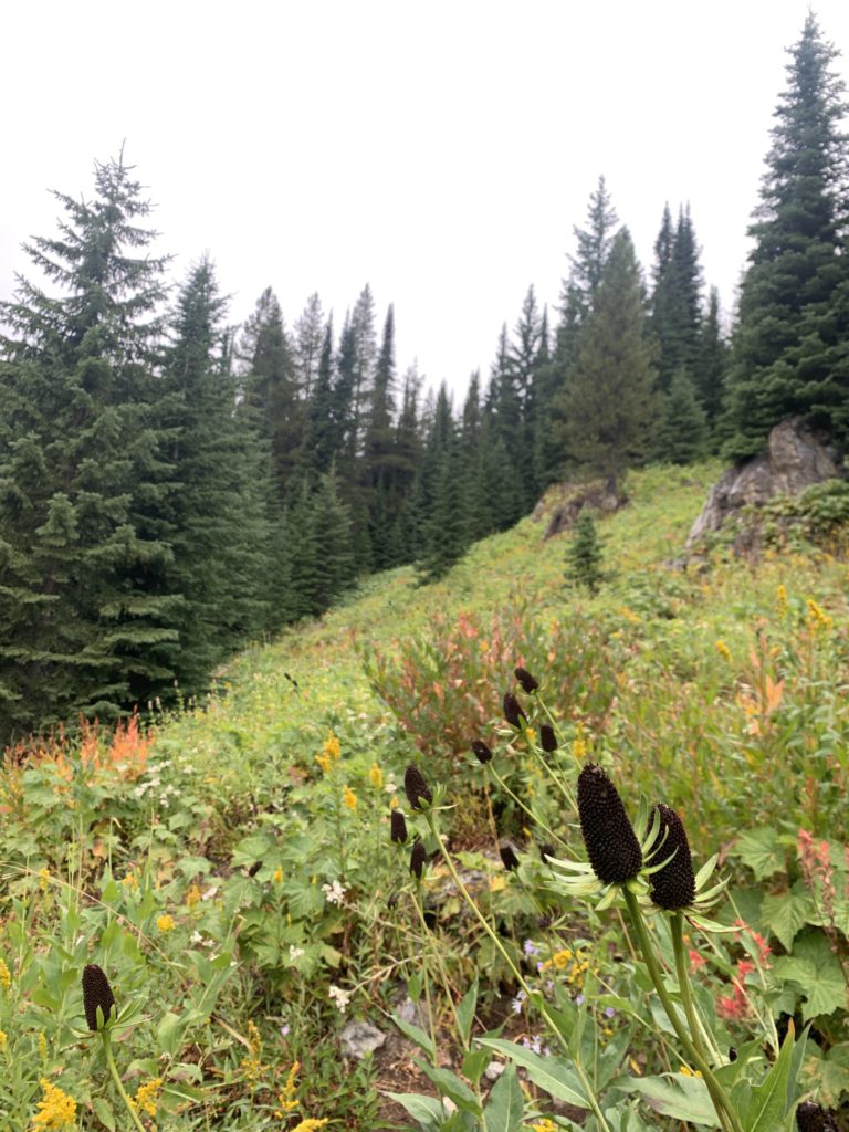
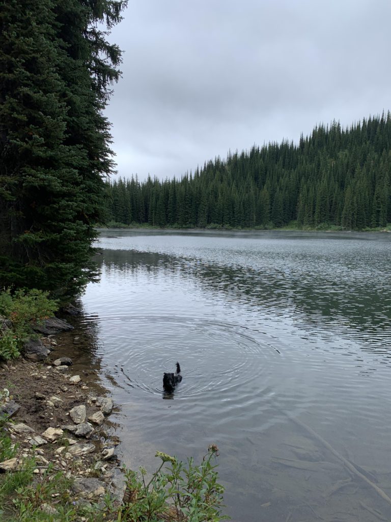
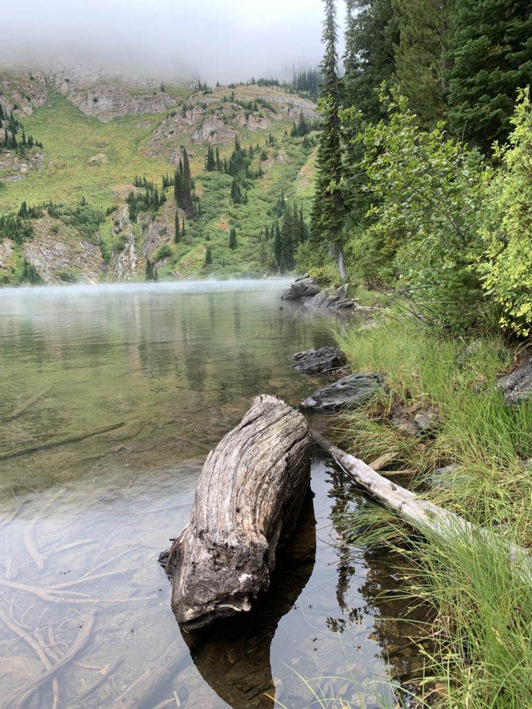
      Instead, you’ll cover vast alpine meadows smothered hip-high in ferns and wildflowers, prominently black-eyed susan. Views of the surrounding hills, the steep slope of Lightning Peak, and Crater Peak at the mouth of the creek open up, but unfortunately all the peaks were shrouded in clouds as we pushed our way through the dripping foliage. Sometimes the trail is hard to make out and you’re not sure whether the prior user of the trail was a horse heading to the lake or a bear to its den. Hope for the former; it probably was, as these trails get a lot of equine traffic from nearby Hole-in-the-Wall Ranch.

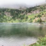
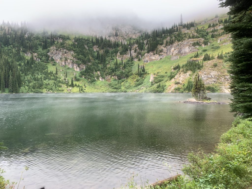
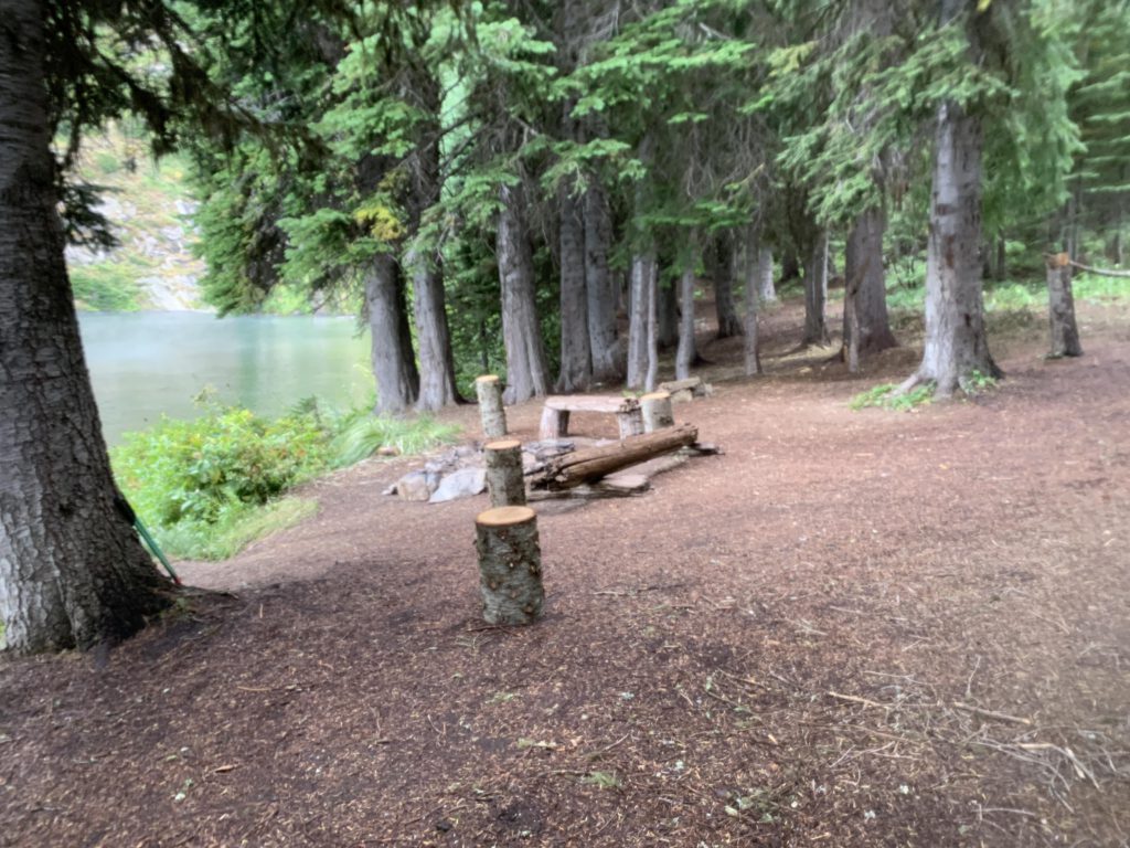
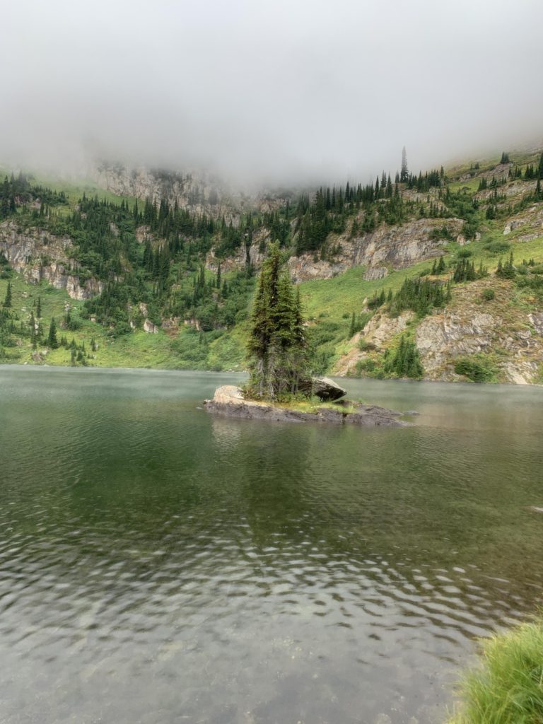
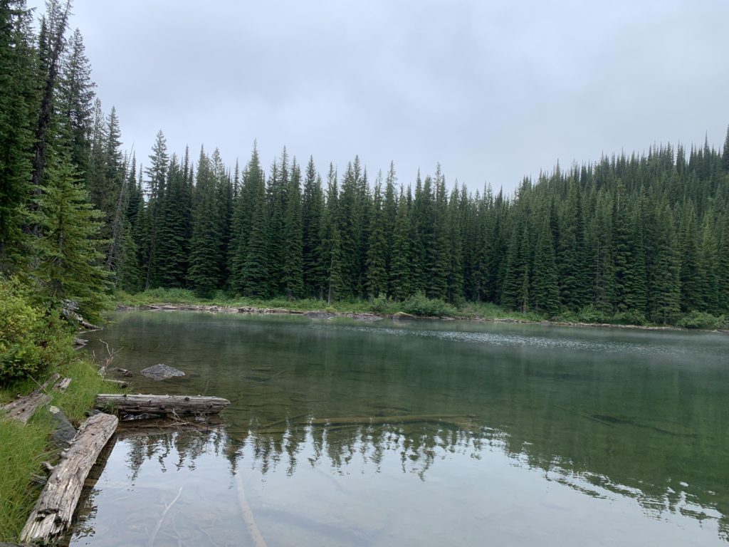
      Just ahead of the lake is a level meadow (likely a shallow pool in early summer) where horses have to stay behind. It’s then only a hundred yards down to the lake. There awaits a shaded campsite and the most picturesque miniture island you could imagine. Above it looms Lightning Peak, once home to a lookout, but we saw none of it, as clouds and fog gathered thickly above the lake.

      Alternate Routes

      • It may be possible to climb Lightning Peak. I have no idea; it was lost in the clouds!

      Things to Consider

        Not so great

          The beginning is easy beneath a dense cedar canopy
          The muddier bits are covered by boardwalk
          Many times the trail is obscured by a sea of ferns and black-eyed susans
          Much of the upper section is through lush meadows
          French Lake and its island. The mountain is completely socked in
          Naughty taking a dip in French Lake
          Campsite at French Lake
          A magic little island in French Lake
          Looking towards the south end of the lake
          Looking northwest towards the island