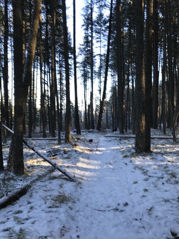
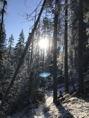
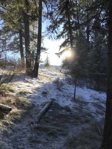
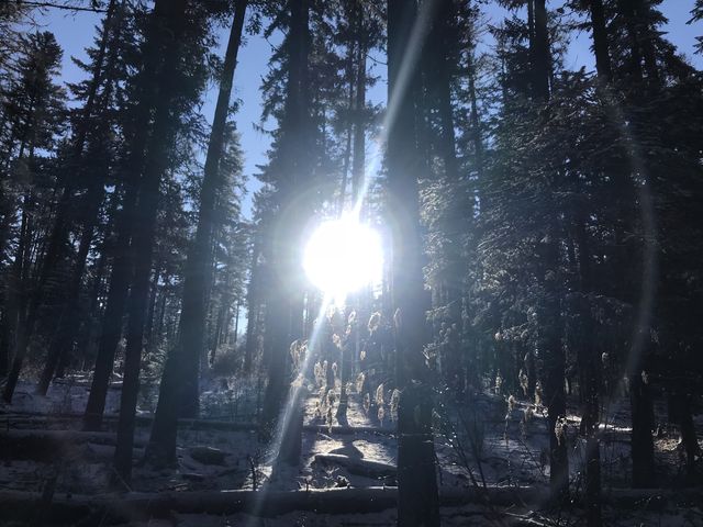
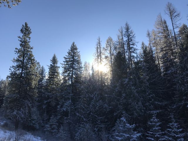
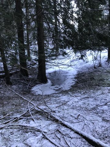
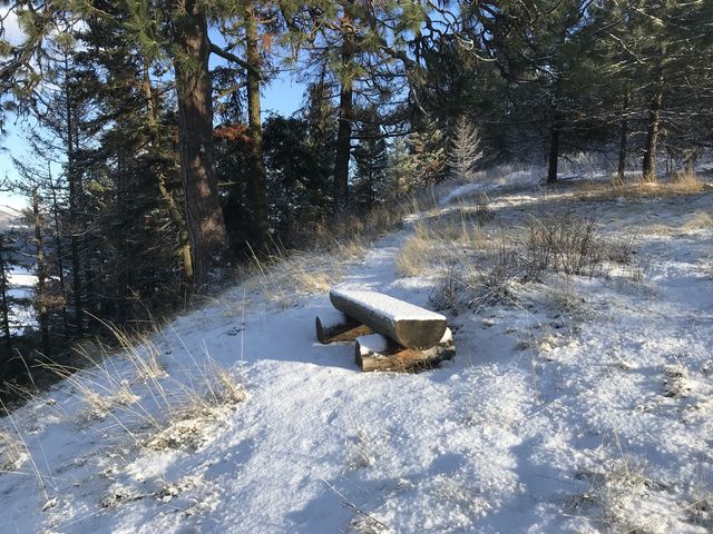
The southern trail system at Heyburn State Park was clearly designed with equine users in mind. It makes for good hiking nonetheless, particularly during the colder months when you have it to yourself. That said, it’s mostly in the woods, with just a few locations with views across the lake, making it more suitable for very hot days.
| Location | Coeur d’Alene Mountains |
| Rating | 2.7 out of 5 |
| Difficulty | Moderate (some uphill hiking; creek crossings) |
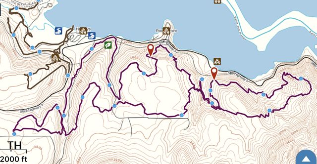
| Distance | 16.0 miles |
| Duration | 6:11 hours moving time (hiking) |
| Elevation Gain | 3,082 feet |
| High Point | 2,871 feet (trailhead) |
| Low Point | 2,148 feet (railroad tracks) |
| Trail Type | Loop |
| Trailbed | Packed dirt |
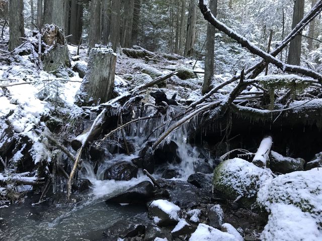
| Water | Frequent brooks |
| Status | State Park |
| Administration | Idaho Parks and Recreation |
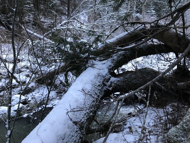
| Conditions | Very good. A few fallen trees, likely not an issue during the summer months |
| Permits | Entrance fee required |
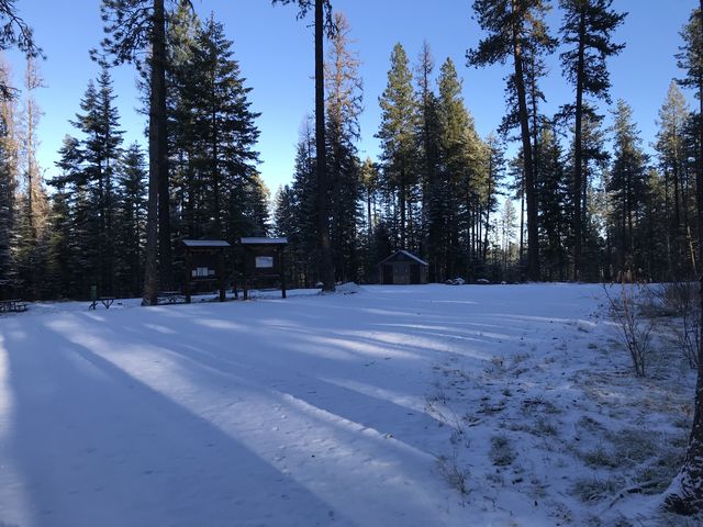
| Camping | There are a number of car-camping camprounds at Heyburn, including one at the trailhead |
| Maps | USGS Chatcolet, Harrison |
| Trailhead | Take US-95 to Plummer, then turn east onto Highway 5. Follow ID-5 for 4 miles, then turn right onto Parkside Road. The road will curve around to the left. You’ll arrive at the trailhead (campground) at just under a mile. Google Directions (47.337488, -116.785571) |
| Season | Year-around |
| Squirrel Density | Fabulous |
| Features | Lake, Grove, Meadow |
| Distance From |
|
| Resources | |
| Nearby Hikes | |
| Date | December 23, 2017 |
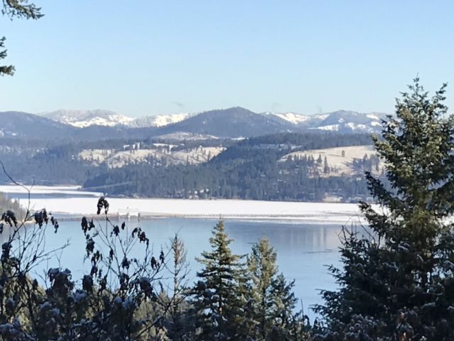
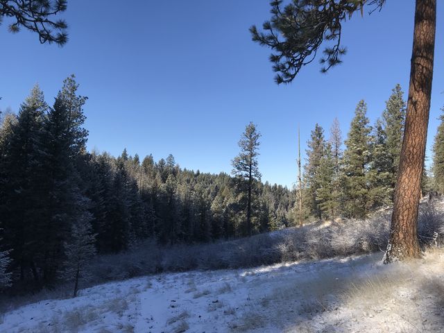
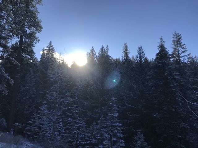
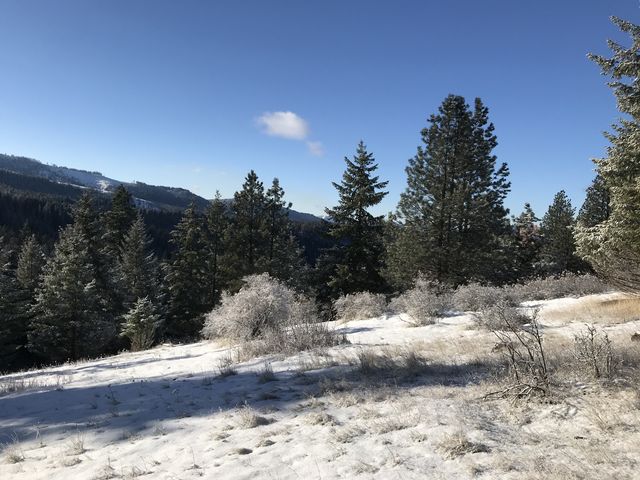
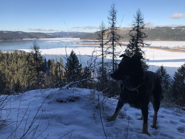
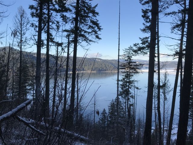
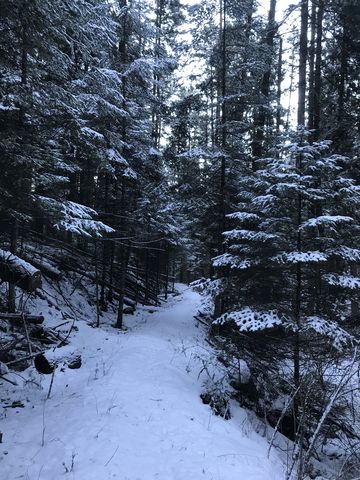
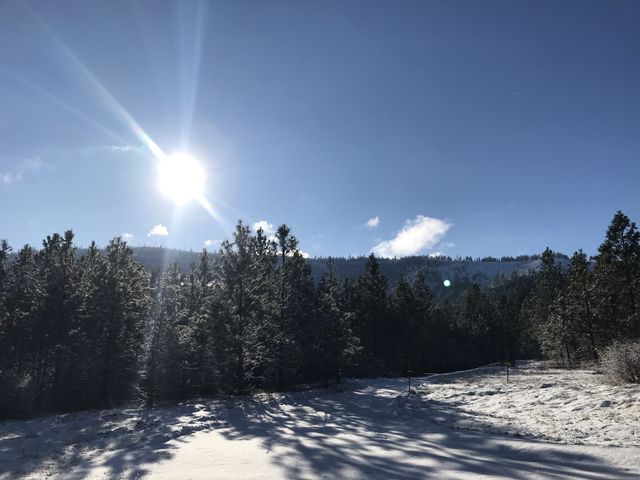 The trailhead of Heyburn’s southern trail system is a campground catering to equestrian users, with each site equipped with its own corral. The trail moves eastwards from the campground along a forested ridge, dropping lower occasionally to cross a number of creeks. Much of the trail is in the woods, yielding here and there to meadows. Views are rather limited until you get to the point where the loop turns around, and even then the views are largely restricted to mountainsides or filtered glances of Lake Chatcolet.
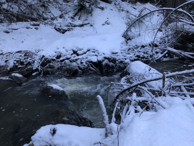
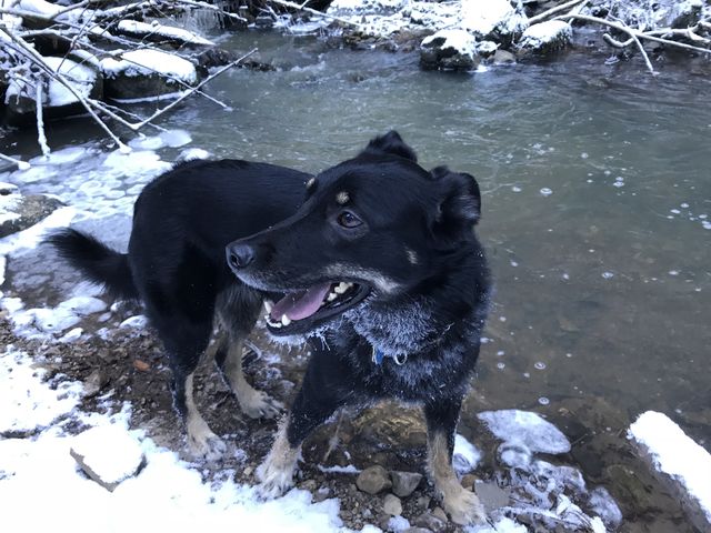
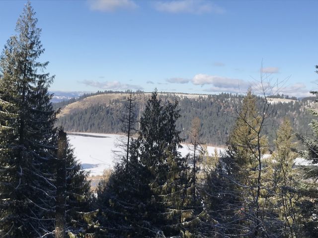
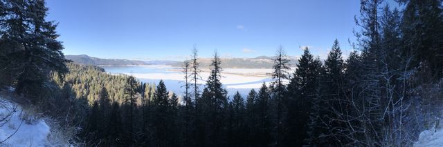
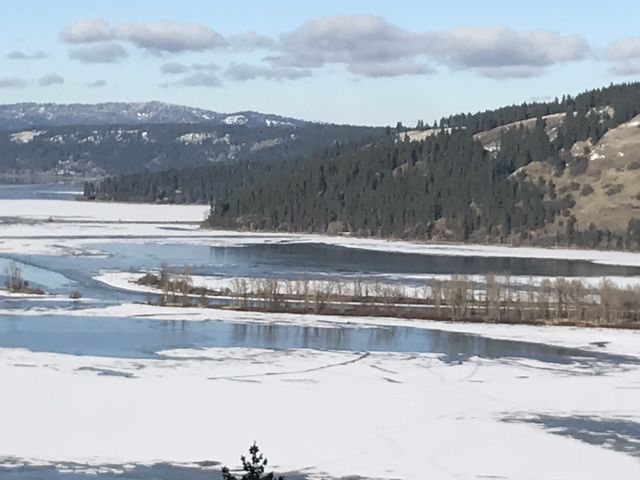
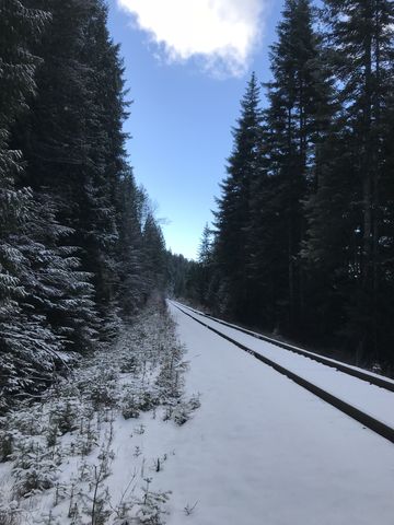
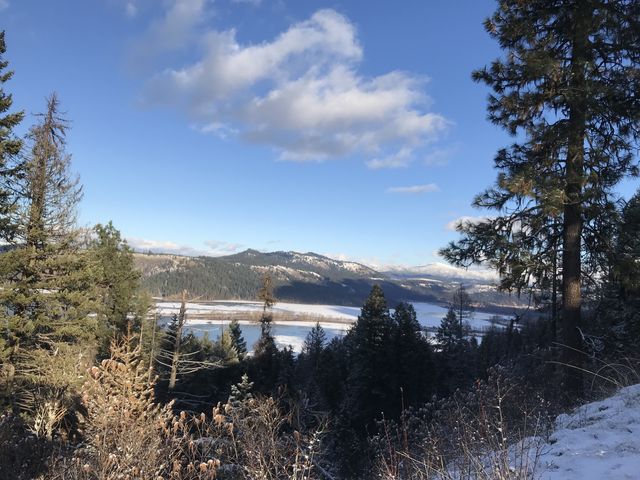
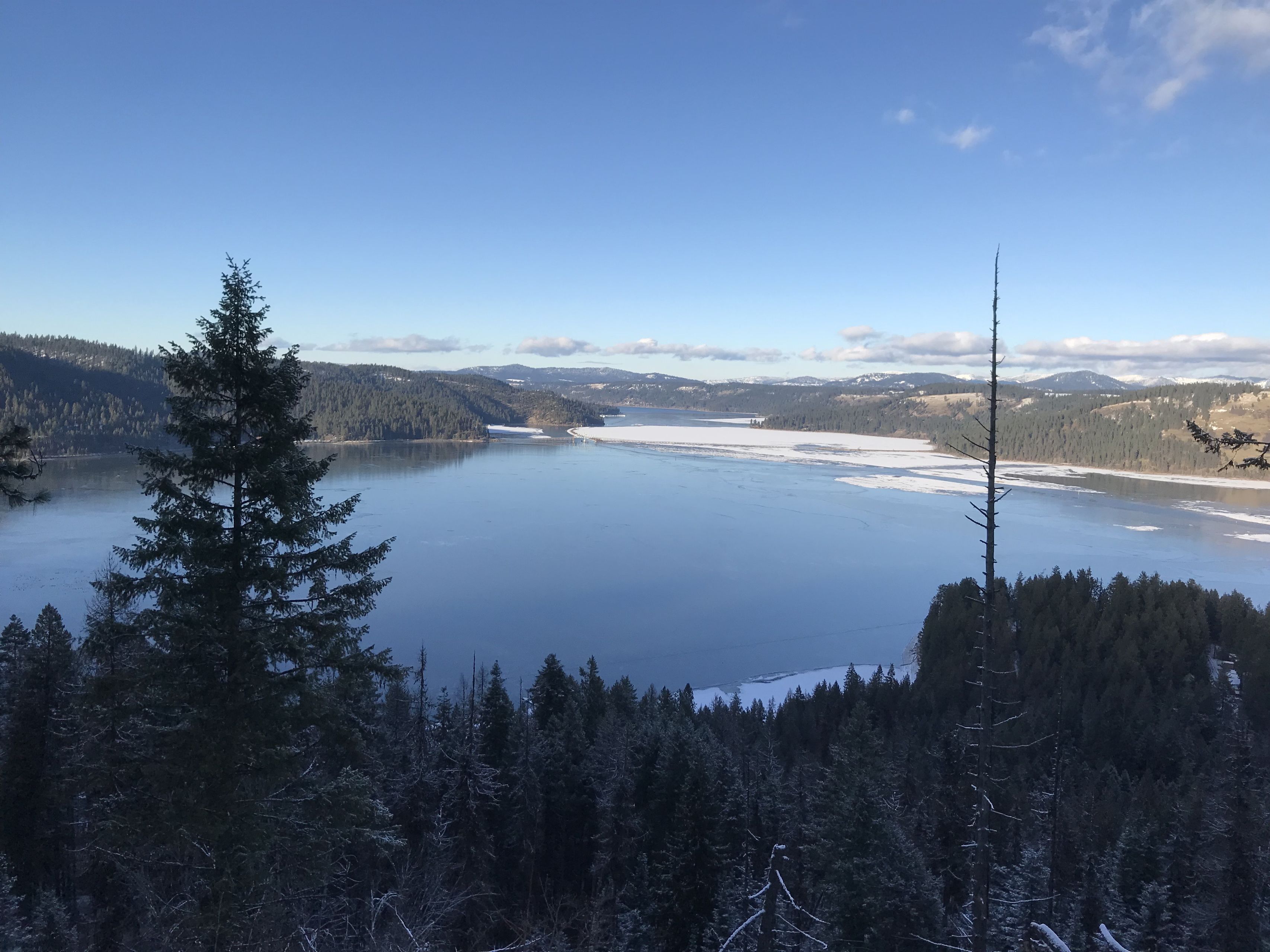
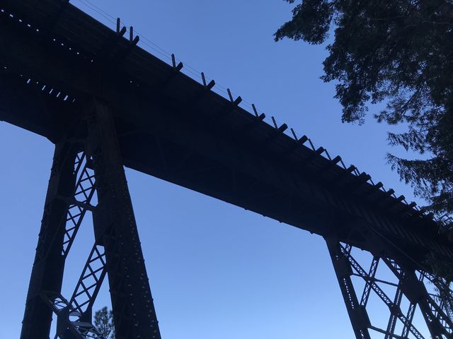
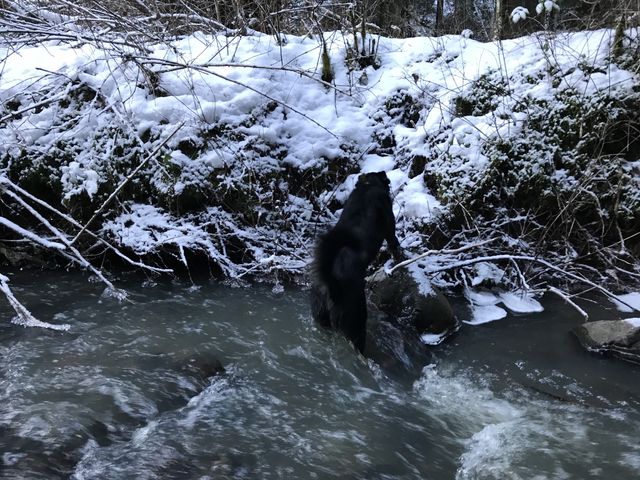
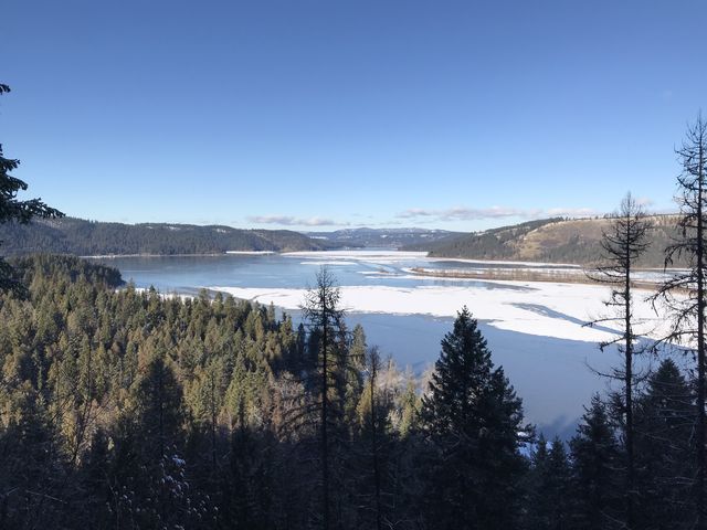 Great views open up near the 9-mile mark on a rock outcropping and again near the 11-mile mark after a steep climb from the railroad tracks. On the way back, the trail parallels Bill Morris Creek almost all the way to the lake, squeezes beneath railroad trestles, then circles around and heads up Pedee Creek, which needs to be forded (may be a difficult fording during snowmelt).
Enjoy this hike? Let us know in the comments below!


© 2016 – 2018 NaughtyHiker. All rights reserved. No duplication without permission.