Kamiak Butte is forested knob that rises some 1,000 feet out of the rolling Palouse wheat fields. The 300-acre property used to be a state park and is now a Whitman county park, offering a haven for wildlife, camping and hiking for humans, and spectacular views across the Palouse. The trail climbs to the peak, then follows the open ridge northbound (“Pine Ridge Trail”) and drops down to the trailhead through mixed coniferous forest. It is a National Recreation Trail.
| Location | Channeled Scablands |
| Rating | 2.7 out of 5 |
| Difficulty | Moderate (some uphill hiking) |
| Distance | 2.7 miles |
| Duration | 1:00 hours moving time (hiking) |
| Elevation Gain | 671 feet |
| High Point | 3,643 feet (Kaimiak Butte) |
| Low Point | 2,904 feet (trailhead) |
| Trail Type | Loop |
| Trailbed | Packed dirt, old logging road |
| Water | At trailhead |
| Status | County Park |
| Administration | Whitman County Parks & Recreation |
| Conditions | Excellent |
| Permits | None required |
| Camping | There is a campground near the trailhead |
| Maps | USGS Albion |
| Trailhead | From Palouse, WA, take WA-27 (Moscow Road) south for 3 miles, then turn right onto Clear Creek Road. After half a mile turn onto Fugate Road (meaning go straight). Follow Fugate for three-quarters of a mile, then turn left onto Kamiak Butte Park Road. Follow that road to the trailhead at the lower parking lot (about another three-quarter mile). There is more parking near the campground.
Google Directions (46.870331, -117.152869) |
| Season | Year-around |
| Squirrel Density | Dogs must be leashed and are not allowed on the primitive trail |
| Features | Mountaintop, Meadow |
| Distance From |
|
| Resources | |
| Date | October 29, 2017 |
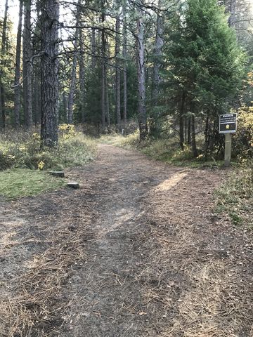
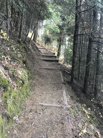
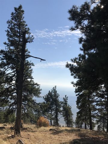
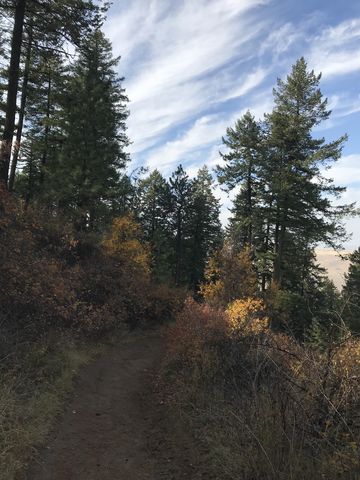
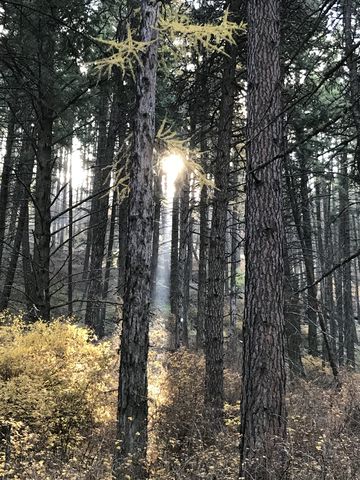 The trail starts at the west end of the lower parking lot. Head past the gate into the woods on a wide twin-track, past a day-use shelter on your left and soon you get to a fork. A single-track veers off to the right (westwards); take that for a counterclockwise hike. The trail meanders through fairly open forest with a thick understory of nine bark and ocean spray (all yellow this time of year). There will be another fork, where a spur trail leads to the campground. Continue straight through the forest and you’ll come to yet another fork with a small bench to the left and a wide grass-covered twin-track heading downhill. The twin-track loops back to the trailhead, so hook a left and head uphill. Soon you’ll come upon a third fork, where a primitive trail moves along the butte and climbs it from the western side. Dogs are not allowed on that primitive trail. Hence, we swung a left and continued to climb the mountain. It’s about a mile to the the top of the ridge from the trailhead.
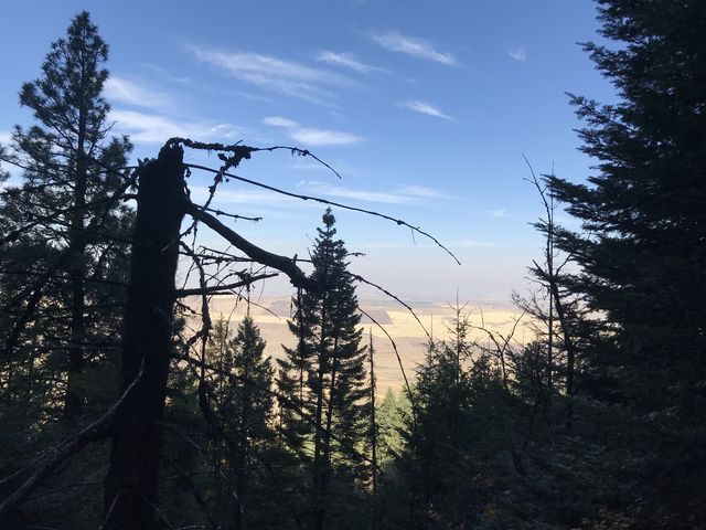
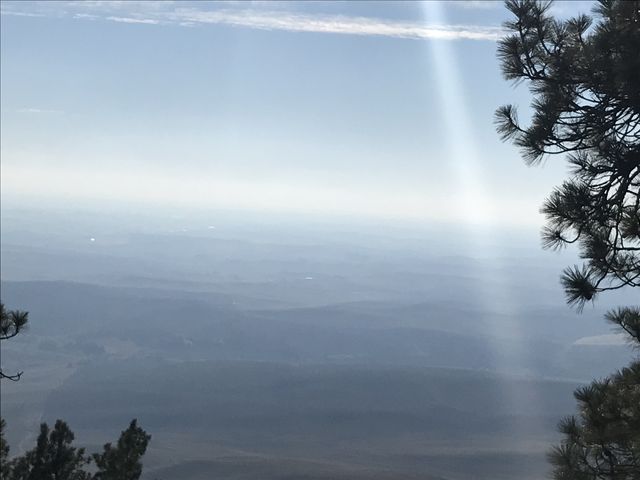
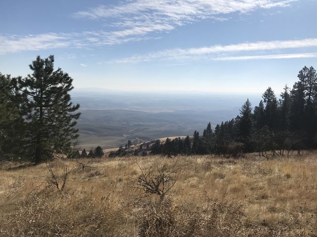
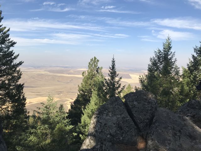
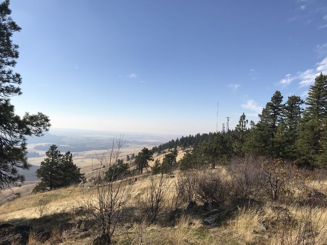 From the ridge a short spur trail loops south along the ridge and then around to the actual peak, where it reunites with the primitive trail. The views are truly great all around. Hopefully you like wheat and pea fields!
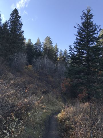
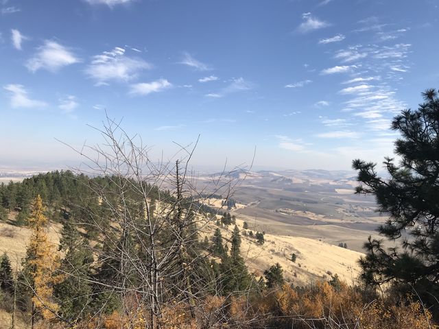
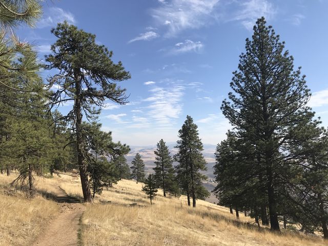 For the return trip retrace your steps to the point where you first reached the ridge. Then follow the spine of the ridge eastwards, which is really pleasant since the steeper north side is forested and the gradually sloping south side is mostly sweeping grassy meadows. Hence you’ll have great views almost the entire time on the ridge, at least to the south. As you approach the eastern edge of the park, the trail dips over ridge to the north and switchbacks downhill in form of a wide double-track.
There are three geocaches in the park, two of them on the ridge.
Enjoy this hike? Let us know in the comments below!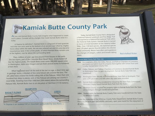


Alternate Routes
- The Primitive Trail adds another mile (dogs are not allowed)
© 2016 – 2017 NaughtyHiker. All rights reserved. No duplication without permission.