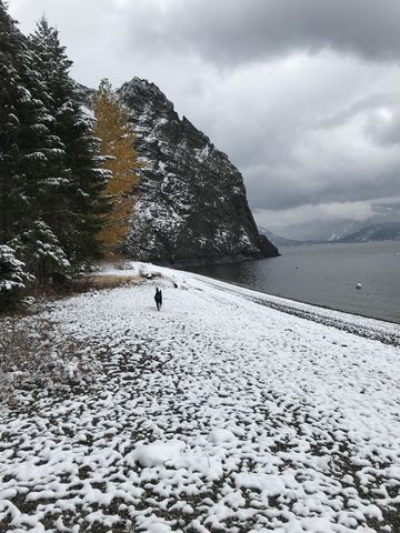
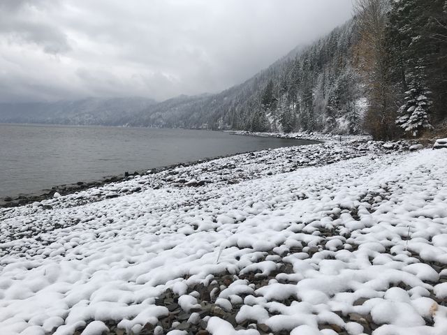
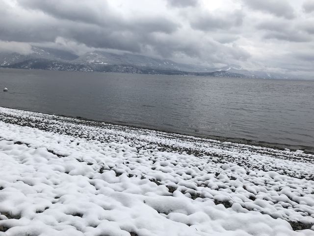
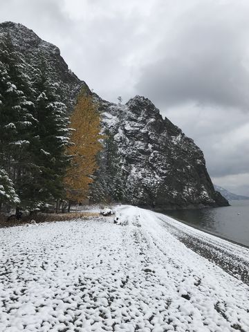
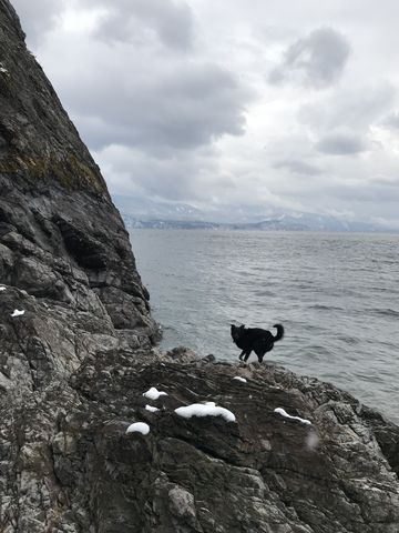
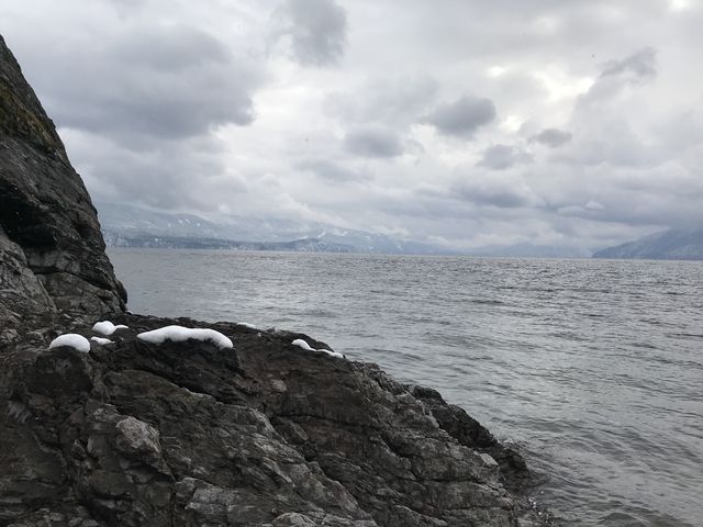
Maiden Rock is a bare granite knob overlooking Lake Pend Oreille. The trail meanders downhill for 2 miles through dense cedar forest alongside Maiden Creek. It terminates at a pebble-strewn beach with expansive views of the rock outcropping, across the water and south along Little Blacktail Mountain towards Evans Landing, a similar boat camping site.
| Location | Selkirk Mountains |
| Rating | 2.9 out of 5 |
| Difficulty | Moderate (some uphill hiking; rocky trail) |
| Distance | 4.3 miles |
| Duration | 1:34 hours moving time (hiking) |
| Elevation Gain | 1,135 feet |
| High Point | 3,253 feet (trailhead) |
| Low Point | 2,030 feet (beach) |
| Trail Type | Out-and-back |
| Trailbed | Packed dirt, loose rocks |
| Trail# | 321 |
| Water | Maiden Creek |
| Status | Unprotected |
| Administration | Kaniksu National Forest |
| Conditions | Good. A few downed logs and the trail is very rocky in places (use poles!). Some sections are steep. Trail is shared with dirt and mountain bikes |
| Permits | None required |
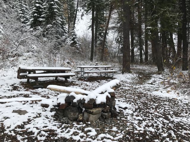
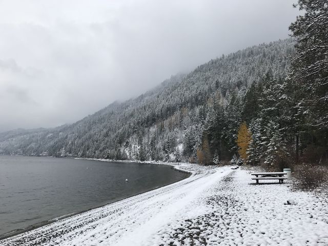
| Camping | At beach. There are picnic tables and a pit toilet |
| Maps | USGS Cocolalla |
| Trailhead | From US-95, take Blacktail Road east. This is roughly halfway up/down Lake Cocolalla. Continue on Blacktail Road for 1.6 miles, then turn left onto Butler Creek Road (NF-230) and continue to the trailhead, 2.7 miles. There is parking for a few vehicles.
Google Directions (48.117237, -116.539447) |
| Season | Year-around |
| Squirrel Density | Lots of smells but not that many critters. It’s winter! |
| Features | Lake, Grove |
| Distance From |
|
| Resources | |
| Nearby Hikes | |
| Date | November 4, 2017 |
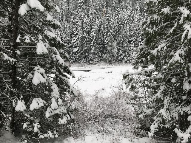
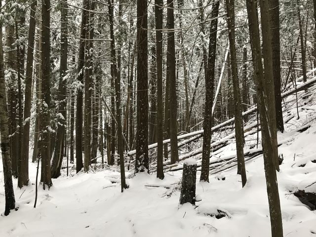
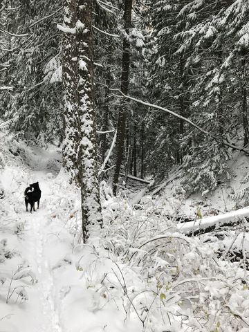
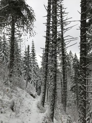
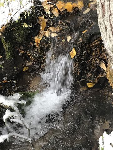
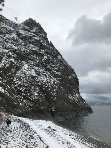
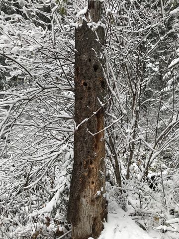
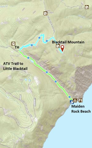
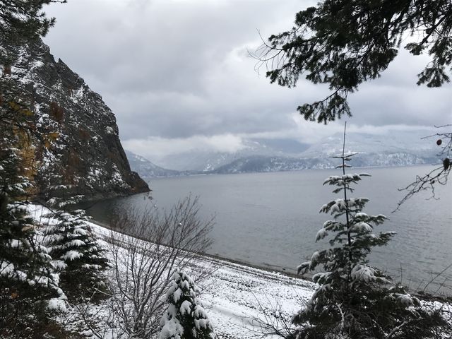 The parking area serves as the trailhead for three trails, Blacktail (#117), Little Blacktail (#231), and Maiden Rock (#321). The Maiden Rock and Little Blacktail trails head south, into the woods, and almost immediately there is a fork, with Little Blacktail, an ATV trail, branching off to the right, while the Maiden Rock trail continues southeast through the dense cedar forest. A bit over a quarter mile into the hike, the wide double-track ends near a pond and a single-track continues to the left, hugging the southwestern flank of Blacktail Mountain. The trail gets quite rocky from this point onwards, with lots of loose rocks covering the trail bed. A dry ravine, formed by the steep face of Blacktail Mountain, of which there are frequent glimpses up bare talus slopes, and the forested flank of Little Blacktail Mountain, guides the trail steadily downhill. It switches frequently from one side of the ravine to the other, and around one mile into the hike crosses Maiden Creek, which appears to spring up out of nowhere. Afterwards, it parallels the creek closely down to the pebble-covered beach. The views from the beach are magnificent, be it across the water or up the trail’s namesake rocky knob. There are a number of campsites, each including picnic tables, and a pit toilet. The location is popular with boaters, though, and weekend nights are always busy during the summer months. The return trip is uphill the same way, with about 1,000 feet of elevation gain.
Enjoy this hike? Let us know in the comments below!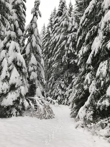

Alternate Routes
- Starting near the trailhead, you could hike up to Little Blacktail Mountain. However, this is an ATV trail and for some length it merely follows forest roads
© 2016 – 2017 NaughtyHiker. All rights reserved. No duplication without permission.
Those photos of the beach are fabulous! Will have to do this snow hike when we are back in the area.
It sure is a nice beach and you’ll have it all to yourself during the winter months. Plus, the access road (FR 230) was plowed, though a bit slick